Click The Picture for all the photos-
My View of Life on the Dock
Click The Picture for all the photos-

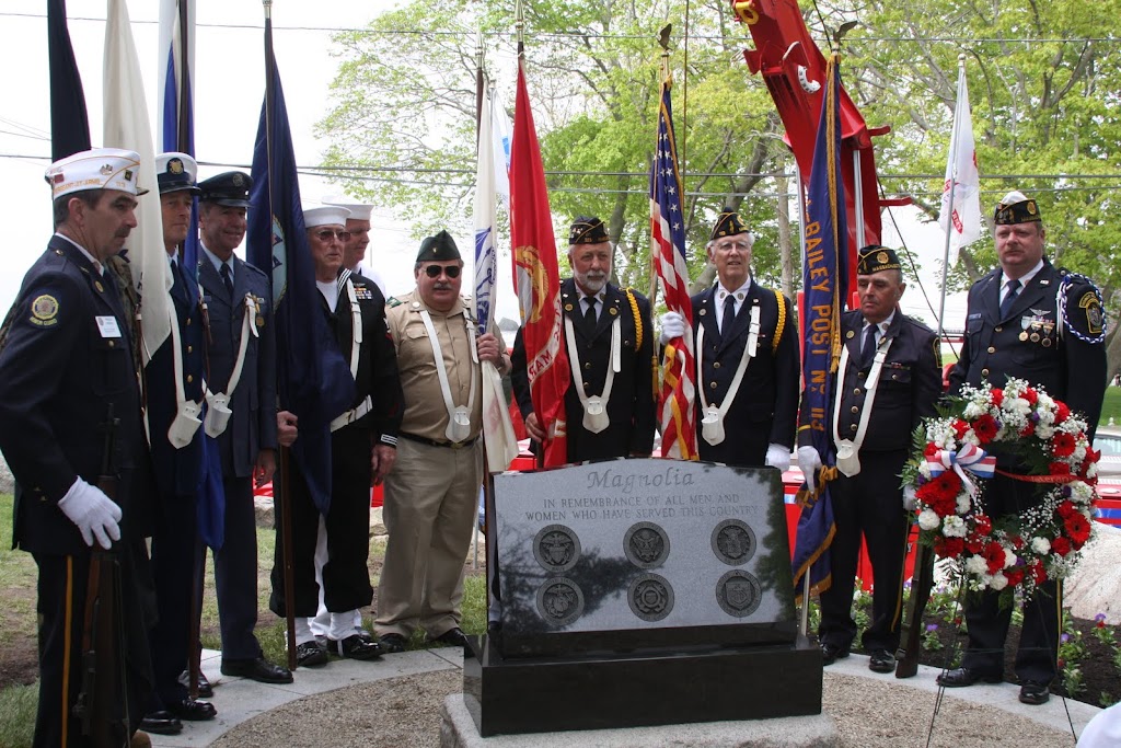
Captain Solomon Jacobs Park


Bill Hubbard Writes-
Joey,
I’m trying to track down an important bit of history about my Grandfather’s Boat. Capt. John A. Dahlmer’s fishing boat Superior was taken by the US Navy early in WW-II. We have heard that she was used to supply weather stations along the Greenland and Newfoundland coasts with fuel and food. She was returned to the family in 1944. As a child, I remember seeing a paper certificate issued by the US Navy thanking him for the use of his boat in the war effort. He was also paid $1 for each of the 4 years she was on naval duty.
My question is, what was the name of the navy command that operated Superior and other New England vessels during the war years? I’m sure some of your readers had similar experiences with other boats at that time and, maybe someone can tell me. Maybe even someone has a picture of her at that time. A picture of Superior sporting her new, first in the fleet, whaleback bow in 1935 is attached.
Thanks,
Bill Hubbard
bill.hubbard@fineartamerica.com

Bill this would be a great question that maybe our FOB Fred Buck at The Cape Ann Museum could answer-


I had my eyes on the whoopie pies but somehow got distracted and didn’t get a shot of them (which looked amazing)
Oh well, I guess I have an excuse to go back.
Ross Brackett


NISU!


Coffee Cake


You can like ‘em on Facebook here-
http://www.facebook.com/pages/Brothers-Brew-Coffee-Shop/159447317423794

There are some big fish around as Brian shows in this video from May 22-
Brian writes-
42 inch 25+ pound fish Catch & Release Striped bass top water Fishing MA Crane Beach Ipswich Essex 5/22/11 not the first fish of the year but the biggest year. Started my spring fishing with some nice striped bass riding the outgoing tide. This big striper Came up and gulped the jumping minnow down on the first cast. What made this fun was I the rod. I used a 3/8oz – 1oz Temple fork salmon pole 8’6″ or TFO rod. This was not as fat as your avg late season fish but at 25p it was fun fight on light tackle and even bent the vmc hooks. What you are experiencing is a very good tool that if handled right a competent can land very large fish and make fishing for smaller fish that more fun!

Hey Joe,
These guys were steaming around the outer harbor a few weeks ago dropping moorings. They were pretty busy all afternoon, and were hitting spots between Rocky Neck and the breakwater. I’ve never seen this rig before, have you?
Thanks,
~Bill O’Connor
North Shore Kid


Erika Hansen writes-
Joey & GMG Friends,
Check out this link to an ESPN video, featuring a Cape Ann Business Incubator (CABI) business, ProMirror, a Gloucester-based company that provides video training systems for coaches, athletes and training facilities:
ProMirror’s systems provide on-field, touch-screen video training and result in Rapid Player Improvement. ProMirror has been used extensively this Spring by Major League Baseball and the company has received extremely positive feedback from teams such as the Minnesota Twins, Detroit Tigers, and New York Mets.
How cool is that?
For more info, visit promirror.com


Enjoy the Slide_Show of the attendees and recipients.
Awards given for Building Preservation s and Personal achievements.


Joe writes-
I recently was checkout some sites and saw to my eyes ,that Gloucester had places I didn’t know! Impossible said I for in my 60 years I have hopped,skipped and walked over most of this water front, It was my play ground as a boy.. But there it was in B&W or color I mean, I think? but CANAL STREET ,DIKE ST., LOCUST ST., IVY CT., WHARF ST AND RAILROAD AVE Off DUNCAN ST, AND ROGERS STREET running only from PORTER ST.AND WATER STREET! Where am I ?
"THE SURFSIDE" Off Western Harbor, Homes on the SOUTHERN SIDE OF Western Ave.,The Gloucester, Essex & Beverly St. railways Co line and Barn and The Gloucester Street Railway on trestles running through the parking lot of Good Harbor Beach today; WHERE the hell am I ?
30 Columbus Avenue, Boston , Mass.
Prints of Original Map
Print of Original Map 13 x 19 =$39, 18 X 26 =$59, 22 x 32 =$79
Gallery Collection Prints
Gallery Collection 13 x 19 =$50, 18 X 26 =$100, 22 x 32 =$125
Listing of towns and villages
Listing of towns and villages

Western Ave, Mansfield Street, Washington Street, Hovey School, Govenor’s Hill, The Cut Bridge
Independent Christian Church, Old Universalist Cemetery, Collins School, Babson School, St. Ann Roman Catholic Church, Huntress Tufts’ Home, Gloucester High School, Sawyer Free Library, Gloucester Lyceum
Old Antique Original Map of East Gloucester Massachusetts Map 8
$175
Old Antique Original Map of Riverdale Gloucester Ward 8 Map 18
Old Antique Original Map of Annisquam Gloucester Ward 8 Map 19
Old Antique Original Map of Rockport Massachusetts Ward 7 Map 20
Old Antique Original Map of Gloucester Massachusetts – Lanesville, Ward 7 Map 21
Old Antique Original Map of Gloucester – Riverdale Massachusetts Ward 6 Map 22
Old Antique Original Map of Rockport Massachusetts Ward 8 Map 23
Old Antique Original Map of Rockport Massachusetts – Lands End – Stonehaven Map 27
Old Antique Original Map of Manchester Massachusetts- Map 28
Old Antique Original Map of Manchester Massachusetts – Lands End – Stonehaven Map 30

Thomas Philbrook Writes-
Yo Joey!
Thought you might want to post this on GMG.
Here’s a composite I made of most of the sidewalk chalk renderings executed by kids from six to sixty at yesterday’s MOTIF #1 DAY. Many thanks to all those hardworking souls who made the day the success that it was.
Click the photo for a larger view-


. . .aboard ENDEAVOR


and CHALLENGER


That Joey C. is the centerfold in the 2011 Cape Ann Guide? (Well not exactly center, but close enough; and doesn’t he look beefcake in that photo?) When you get a chance, pick up the new Cape Ann Guide, which is really beautiful and so professionally done, and presents Cape Ann in all her beauty, realness and glory. But you gotta love the 2 page spread on Joey, The Man Behind Good Morning Gloucester best.

E.J. Lefavour
www.khanstudiointernational.com

The epic adventure continues, Will Rich (grew up in Bayview) and Mike Simpson are now paddleboarding from Key West, Florida, to Portland, Maine to raise money for the Wounded Warriors Project and SUP Cleanup.
They have now made it across the mouth of the Chesapeake Bay. I’ve crossed this bridge, tunnel, bridge, in the safety of my car and wondered how someone was going to paddleboard it. Maybe go around and do the coastline of the bay? Nope, read here in their blog how they made it across. (Took two tries.)
Googlemap that bridge then imagine being out there with the wind suddenly coming up 25 knots from the east and eight foot swells appear. Nice shallow water for big waves to pop right up. Gives me the willies reading it while sitting on my couch but Will and Rich took it all very calmly.
Still easily on track for July 4th arrival in Gloucester.

Dear Joey,
Thank you very much for showing us the lobsters and crabs in your tanks. Also, thanks for the cool GMG stickers!
Your friends,
Ruby (3) and Luke (5) McElhenny


Kathie Gilson Forwards-


Joey,
Here is a community, public service announcement for you to please post for your viewers, re: Tick Talk & Mosquito Questions. Date: 5/25/11 @ 6:30 pm.
Experts Alfred DeMaria, Jr., M.D. & Esteban Cuebas-Incles, Ph.D, will speak on these two important topics. It’s presented by the Essex Board of Health and will be held at our Regional, Manchester – Essex High School. Please join us for this informative evening!
Thanks!
Ann White, Clerk, Essex Board of Health


A Wine Dinner with Kathleen Erickson- The Wine PHD
Owner/ Savour wine and cheese
Passports Restaurant
110 main street Gloucester, Ma. 01930
Seating is limited to 24 guests $50 per person
Start Time 7:00 pm
1st course – raw bar of oyster, shrimp and lobster tail
Wine pairing – Baurmard Clos du Papillon Savenierres – France
2nd course – Rocket salad with fresh summer strawberries
Wine pairing – La Monacesca Verdicchio di Matelica – Italy
3rd course – Bone-in Filet Mignon with mushroom Bordelaise
Wine pairing – Spier Vintage Selection Bordeaux blend – South Africa
4th course – Cheese plate from Savour Wine and Cheese
Wine pairing – Cossart-Gordon 15 yr. Bual Madeira – Portugal
Check Out The Passports Blog Here

Johnny Carwash at Georges


Erik Dombrowski writes-
Ladies and Gentlemen:
US Elimination races are only 2 weeks away! Still looking for women and junior crews to participate, so dust off your oars, find a partner and get in the dories! New race dories are in the water and will be at the town landing next week to be rowed, fit your gear, etc.
Let the season begin.

Schedule of Events for June Races
Friday, June 3rd, 6 pm – US Elimination Race Sign-up
At: St. Peter’s Square
*All committee members are welcome to participate.
Saturday, June 4th, 8:30 am – US Elimination Dory Races
At: Niles Beach, East Gloucester
*Open to the public.
Monday, June 6th, 6 pm – US final Eliminations
At: Niles Beach, East Gloucester
*Open to the public.
Note: Please be courteous and respectful to our neighbors here at the town landing and do not leave any lines on the dock, take care coming and going as not to damage their boats, and do not leave any trash or other items on the dock or in the dories.
Thank You!
Your International Dory Committee’s Board of Directors
Hey look- in the picture that Erik are the new dories named- The Elsie, The Dauntless, the Catherine and the Thomas Gorton (thanks Damon for the other names)
for more info check out the International Dory website- http://www.internationaldories.com/index.html

 SUP the Coast website