Gloucester, Mass. A great teacher at Gloucester High School, Shaun Goulart, creates a local history scavenger hunt/trivia game for his 9th grade students that takes place weekly for 6 weeks.
ANSWERS TO SHAUN GOULART’S LOCAL HISTORY SCAVENGER HUNT TRIVIA WEEK SIX. THIS CHALLENGE IS THE FINAL WEEK IN THE SERIES. GO BACK HERE IF YOU WANT TO SEE WEEK 6 QUESTIONS ONLY.
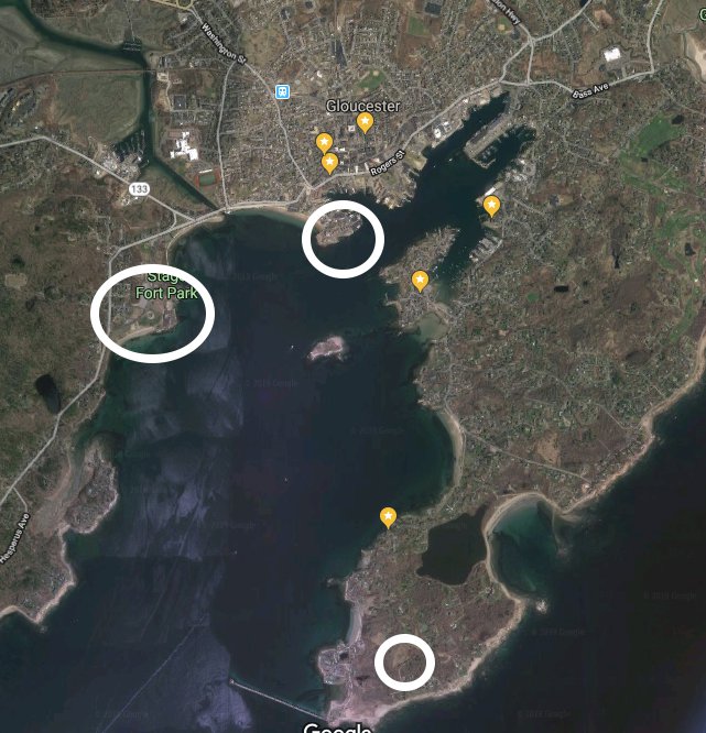
The challenge Week 6 was to locate the historic map on Cape Ann Museum’s Fitz Henry Lane on Line and study it closely to comb through location prompts. This is a great family activity for all ages. It’s a bit eye spy or Where’s Waldo mixed with atlas map fun. The students were tasked with photographing the same sites as they appear today and creating a labeled presentation.
Visit CAPE ANN MUSEUM FITZ HENRY LANE ON LINE resource and scroll down to the correct map here
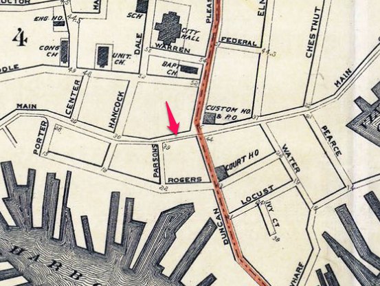
Map of the Towns of Gloucester and Rockport (detail of Harbor Village)
Henry Francis Walling (F. Walling)
1851
44 x 34 in.
Henry Francis Walling, Map of the Towns of Gloucester and Rockport, Essex Co. Massachusetts. Philadelphia, A. Kollner, 1851
Cape Ann Museum Library & Archive
“Map of the Towns of Gloucester and Rockport, Massachusetts. H.F. Walling, Civil Engineer. John Hanson, Publisher. 1851. Population of Gloucester in 1850 7,805. Population of Rockport in 1850 3,213.”
Map detail = segment of Harbor Village portion of map showing Lane-Winter property on Duncan’s Point.
| Question – find on 1851 historic map | ANSWER- NOW (2019) | |
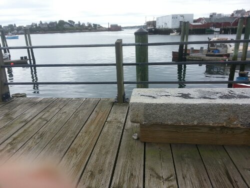
| 1 | Duncan’s Point | Maritime Gloucester / Railways (former FG Low’s & Eli F. Stacy’s whf) |
| 2 | Five Pound Island | State Fish Pier |
| 3 | Front Street (present sign must be in picture) | Main and Short |
| 4 | Middle Street (present sign must be in picture) | Middle Street |
| 5 | High Street | School Street and Proctor |
| 6 | Fort Defiance | The Fort |
| 7 | Vincent’s Cove | West End Main Street and Rogers section all fill / Gorton’s, Americold, etc |
| 8 | Town House | Legion |
| 9 | Gloucester House | Brick building corner of Washington and Main (Puritan House) |
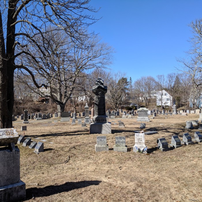
| 10 | Two cemeteries | 1)cemetery next to Amvets on Prospect 2)St. Ann’s |
| 11 | Hospital | up Granite Street veers right to Blyman |
| 12 | Town Landing | Same (St. Peter’s) |
| 13 | Two bowling alleys | 1)on Stacy Boulevard (see Cordage manufactury below)
2) on the Fort |
| 14 | 3 schools | study the map! 1)by Univ Church and Eng H& School on Church off Middle on old map 2)looks like where Central Grammar is 3)Prospect and School where apartments are now 4)corner Washington and Gould Ct. |
| 15 | Train station | Roughly train platform now |
| 16 | Engine house | Beyond train platform- roughly where Stop & Shop is on RR Ave |
| 17 | Canal Street | Stacy Boulevard (Tavern side) |
| 18 | Cordage Manufacturing | Ditto |
| 19 | Beach Street | Commercial Street (behind Beauport Hotel back to water) |


")
")


")
")
")
")
")
")
")
")
")


")


")
")
")
")
")
")