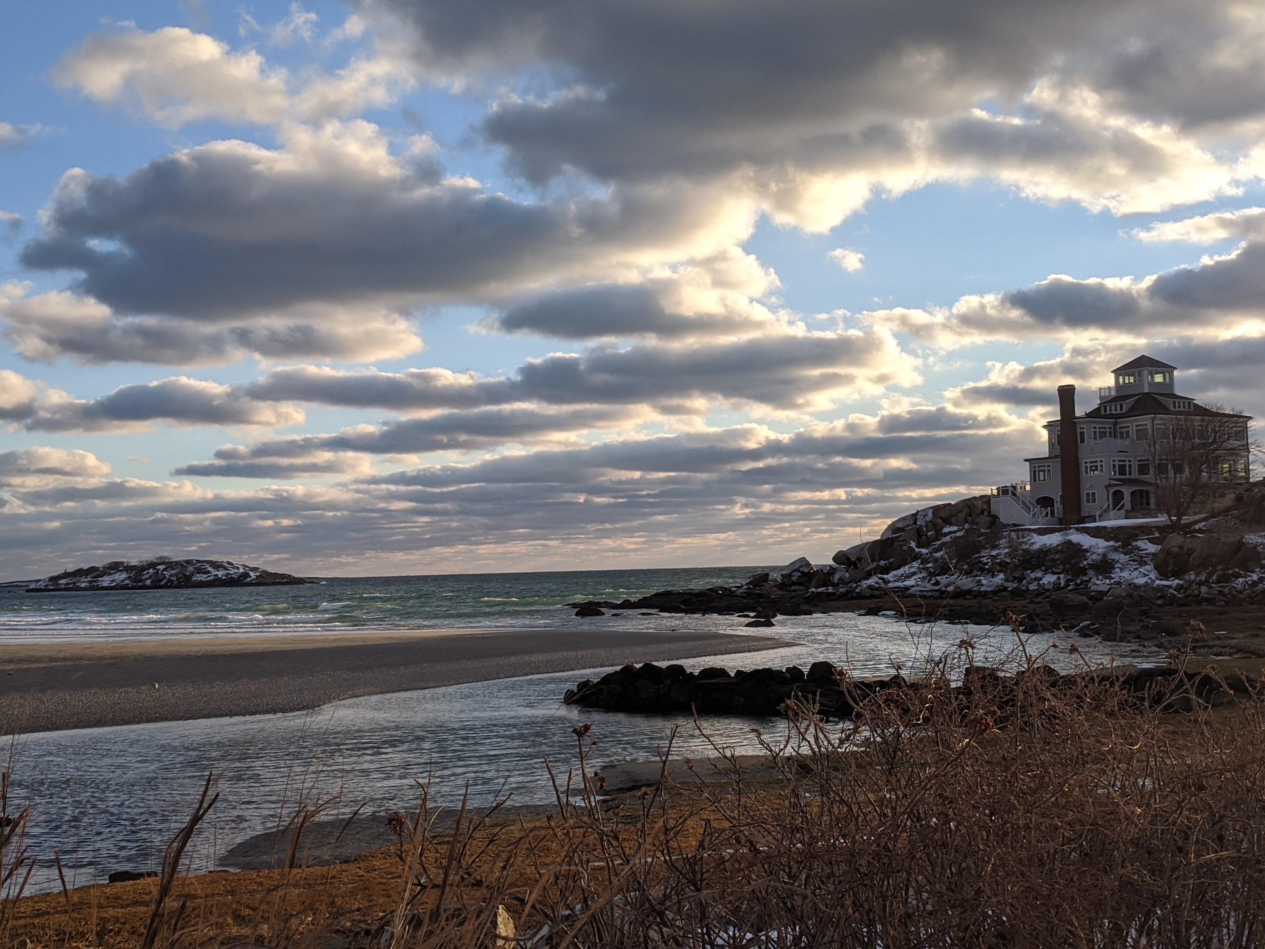
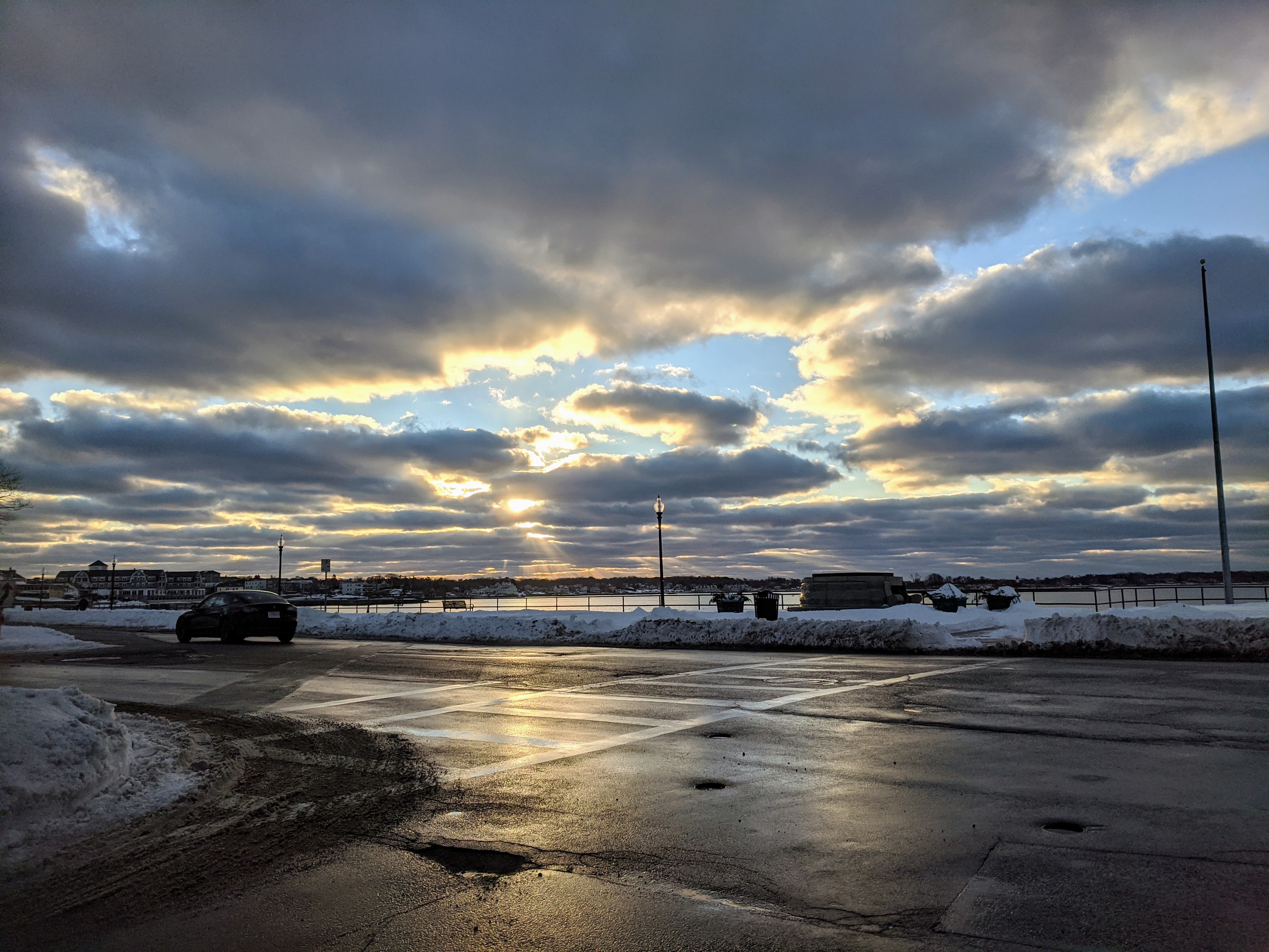
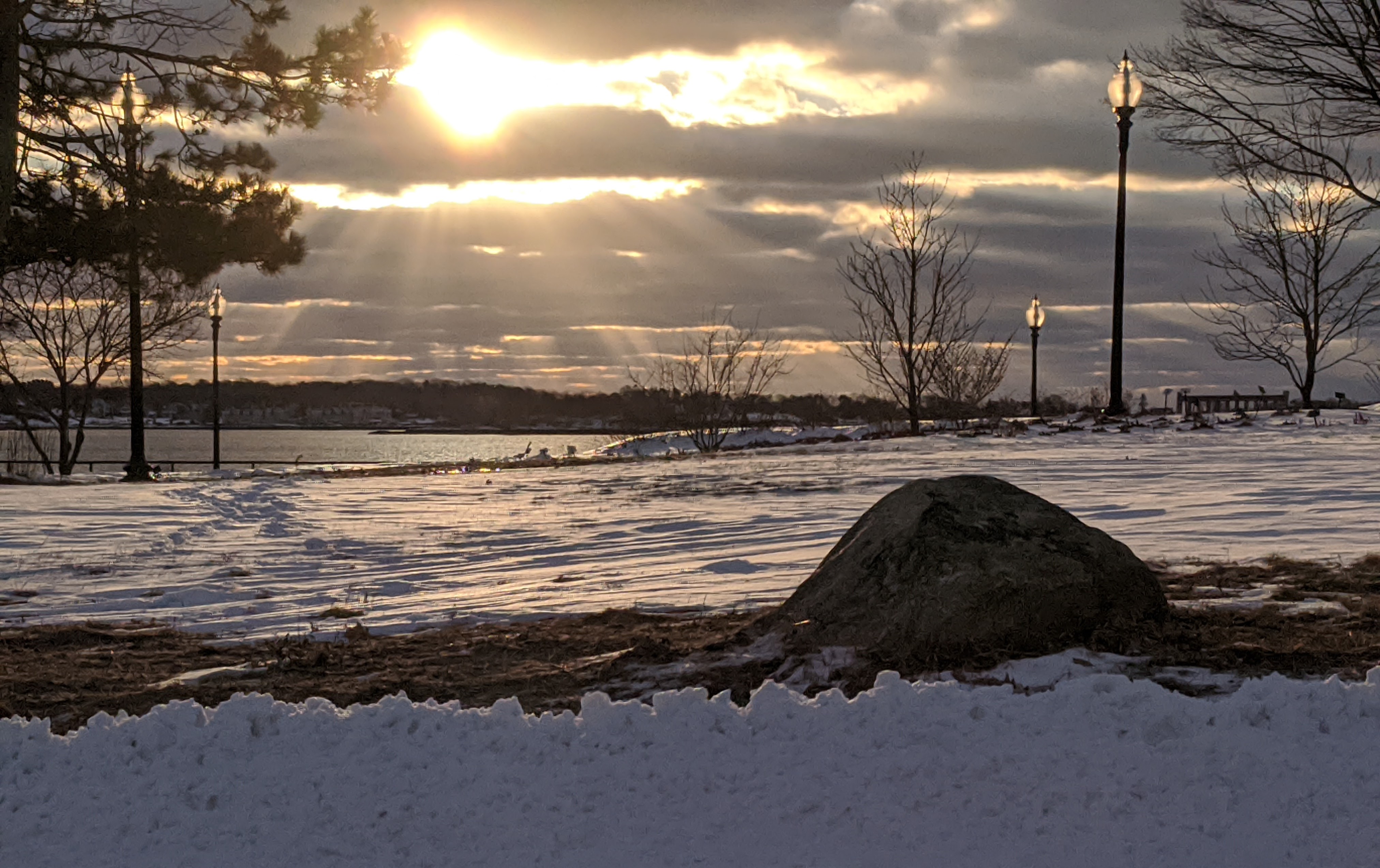
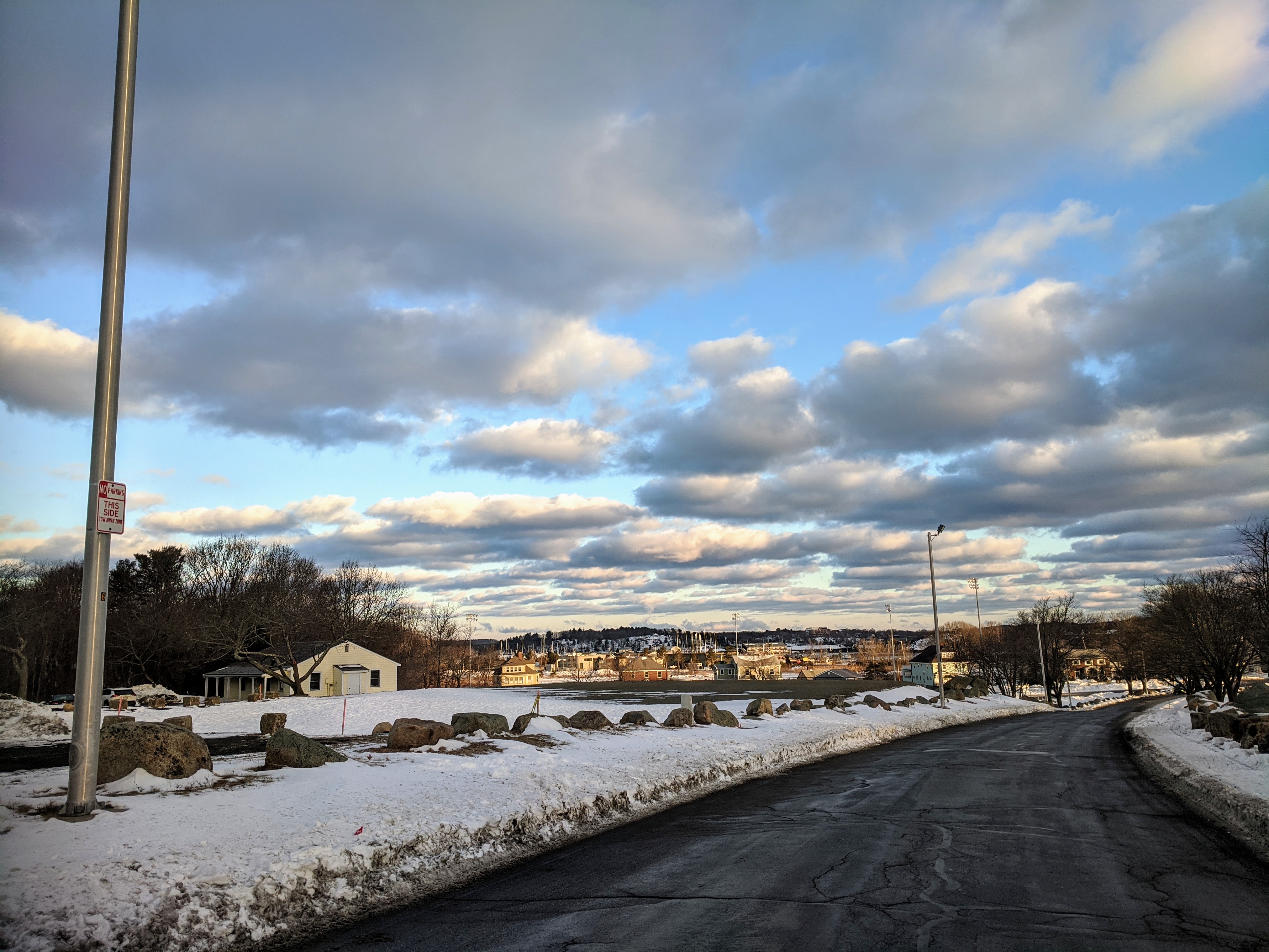
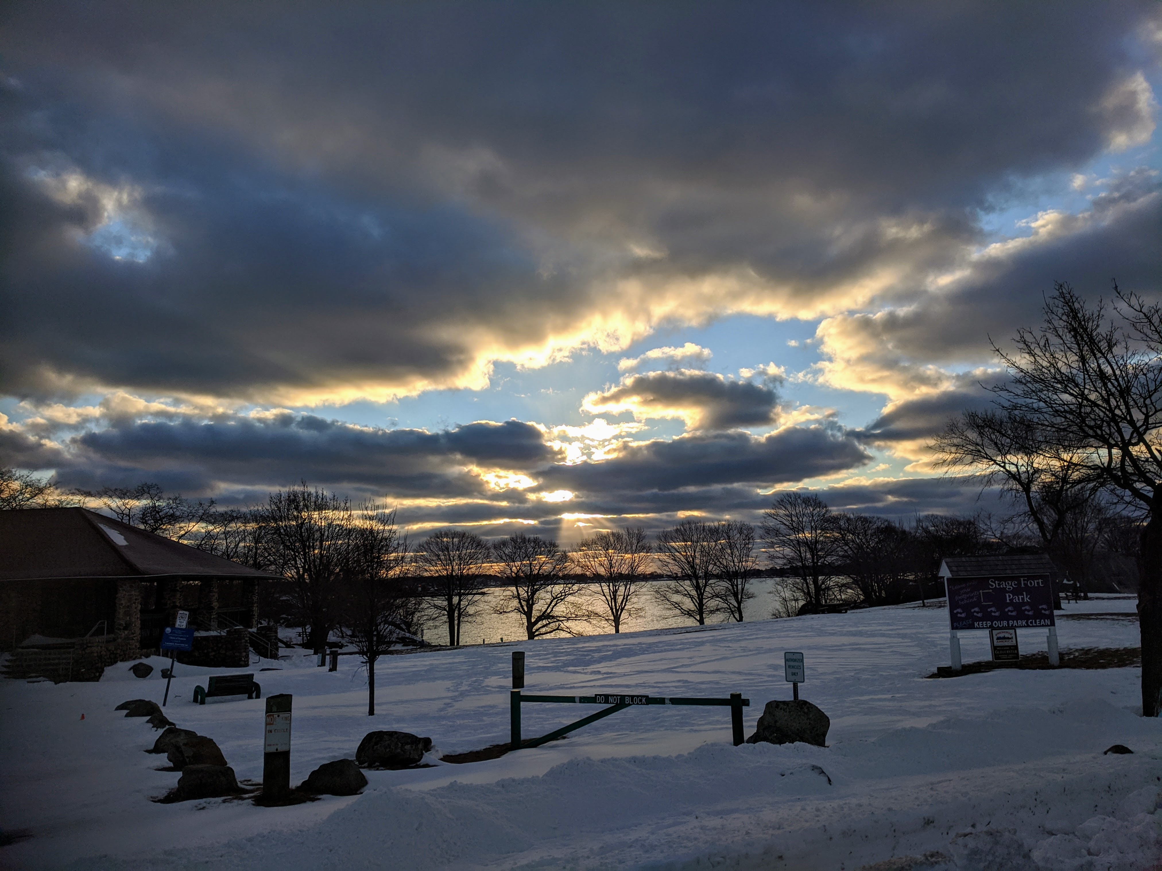
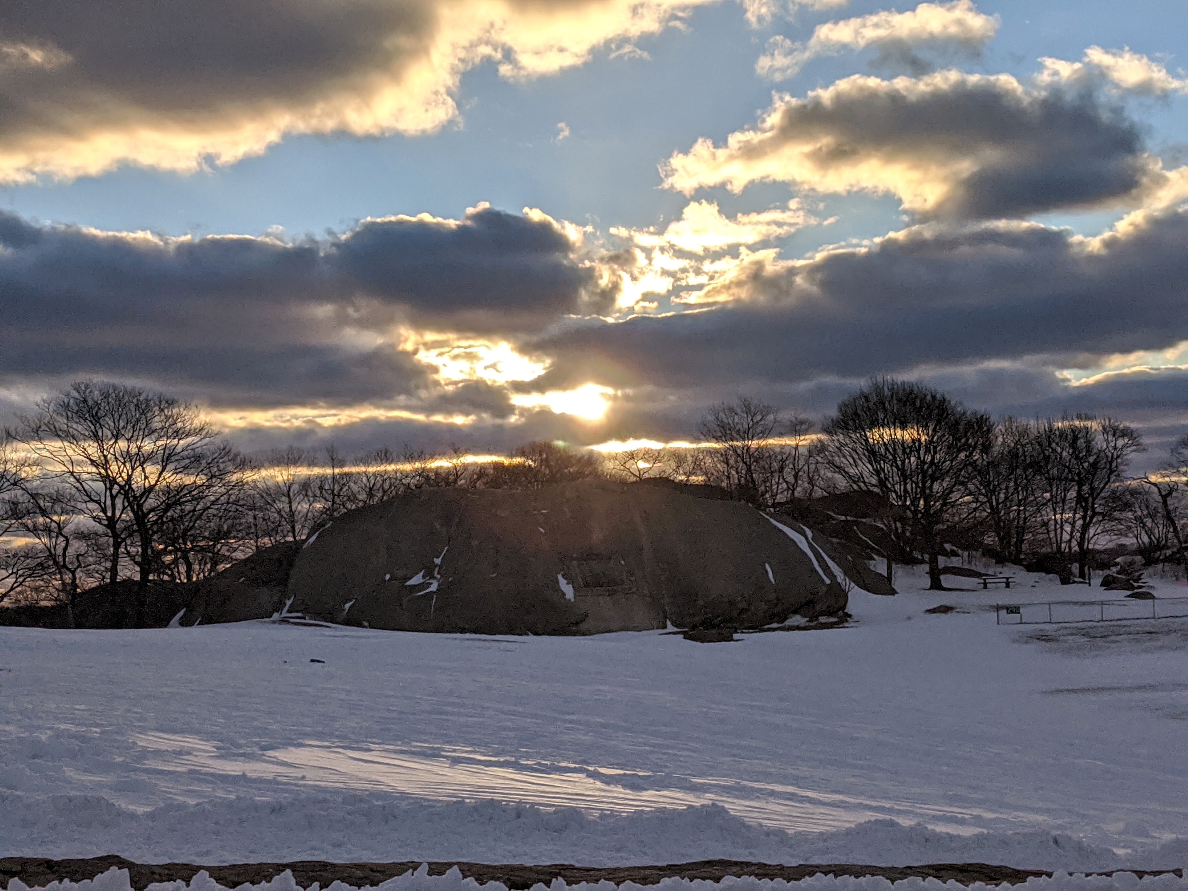
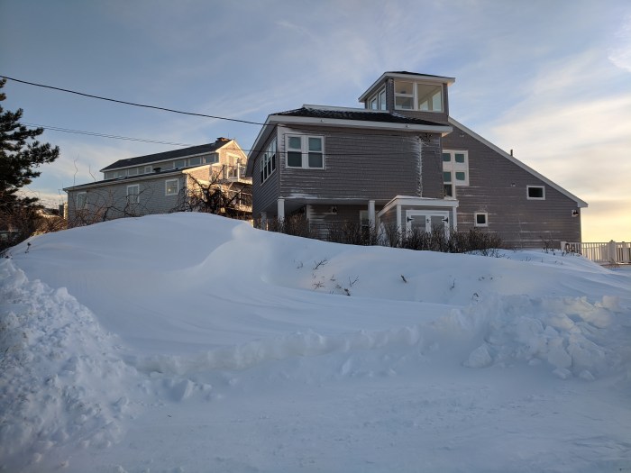
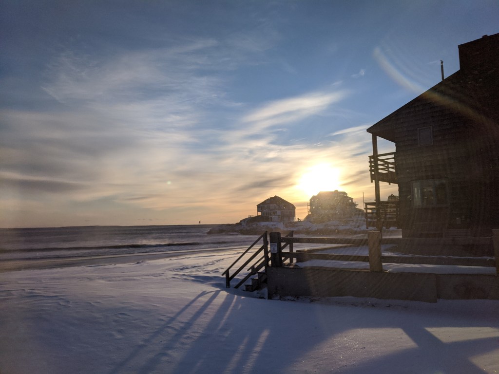
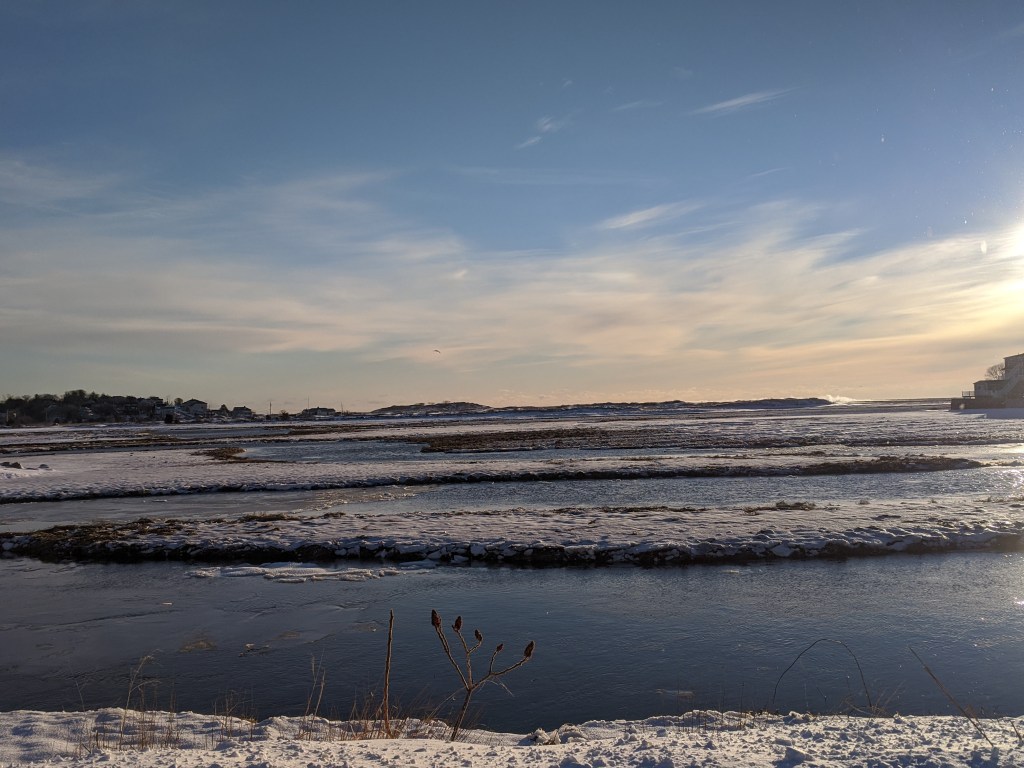
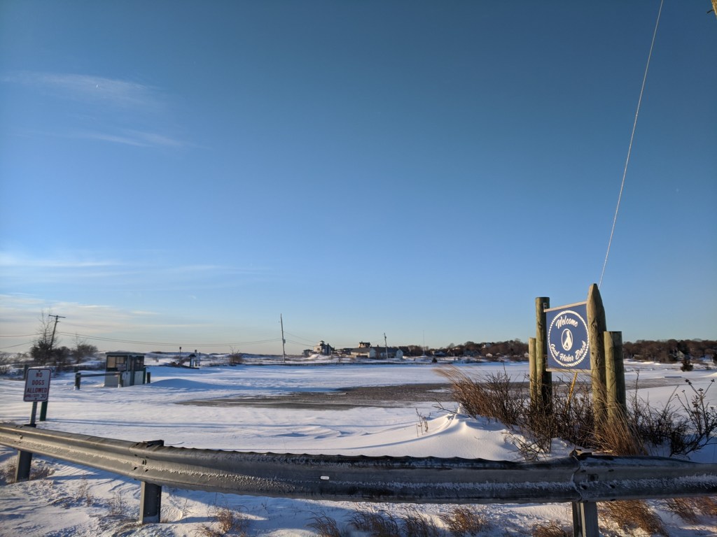
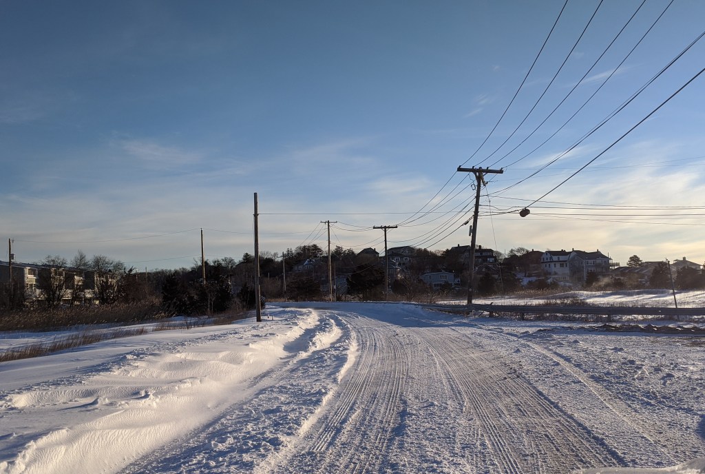
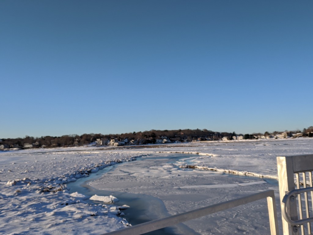
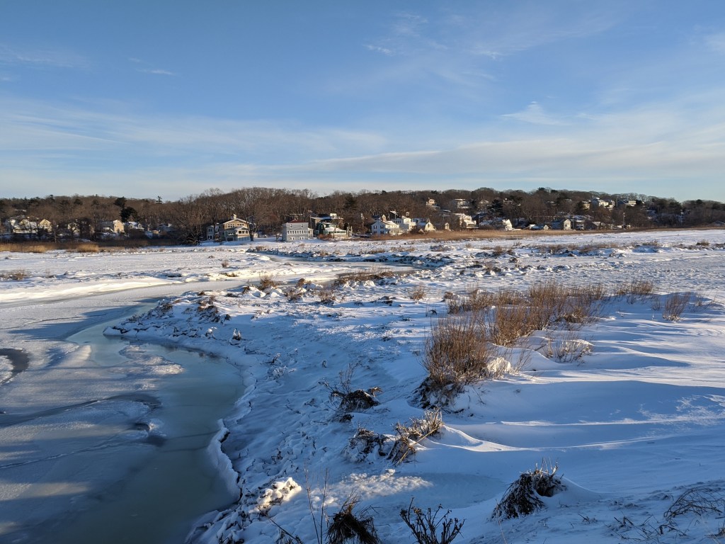
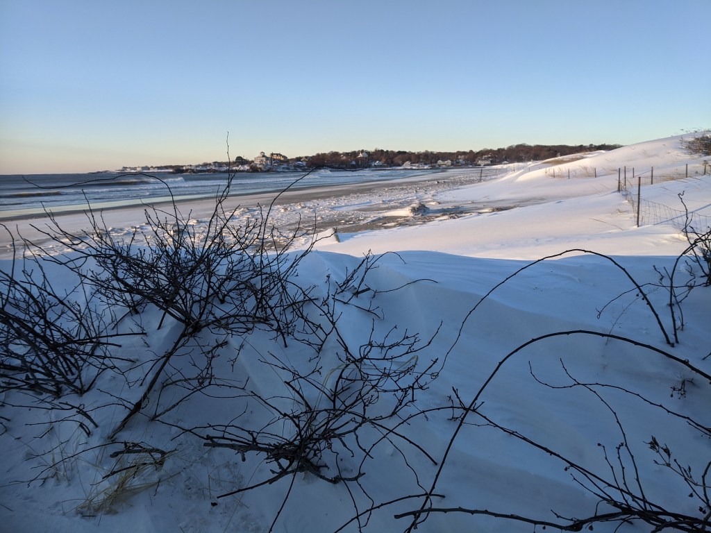
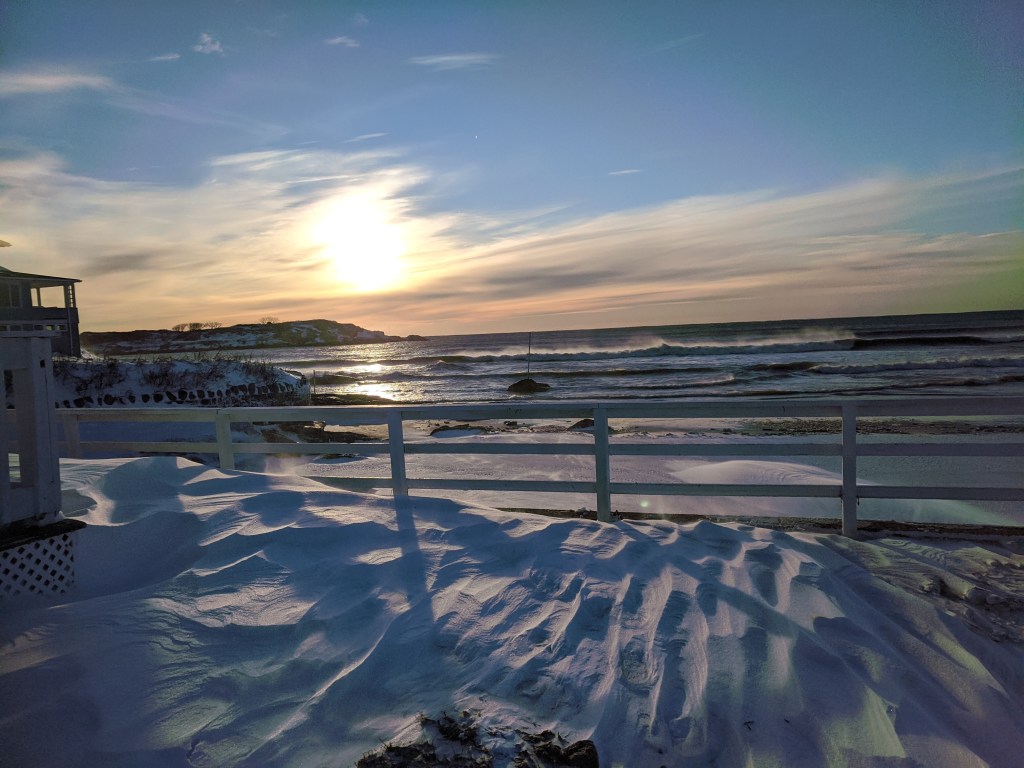
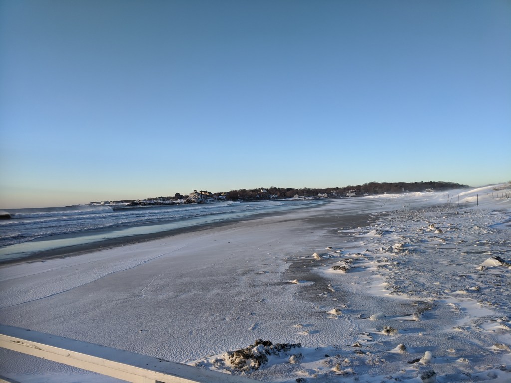
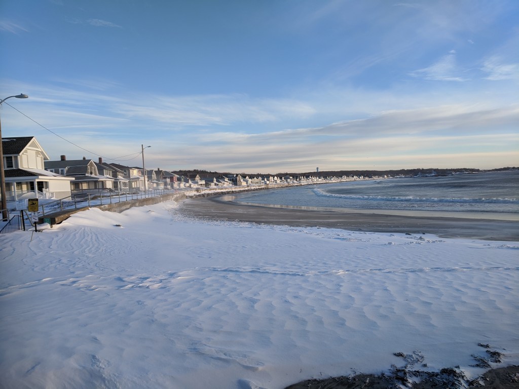
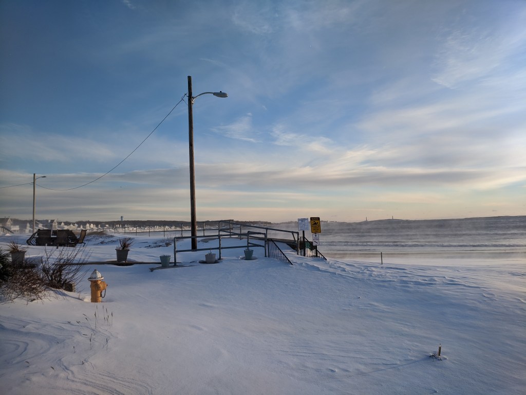
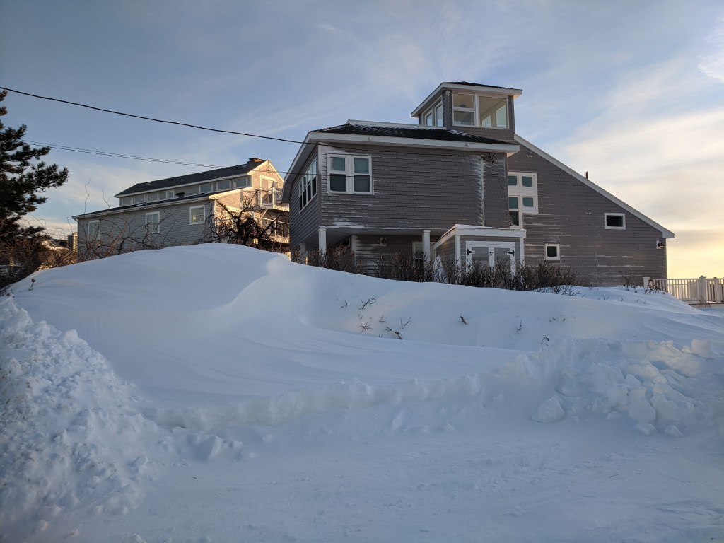
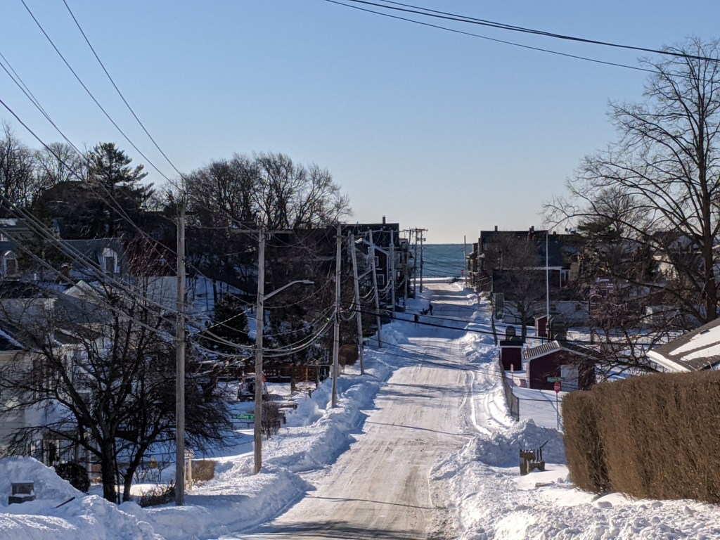
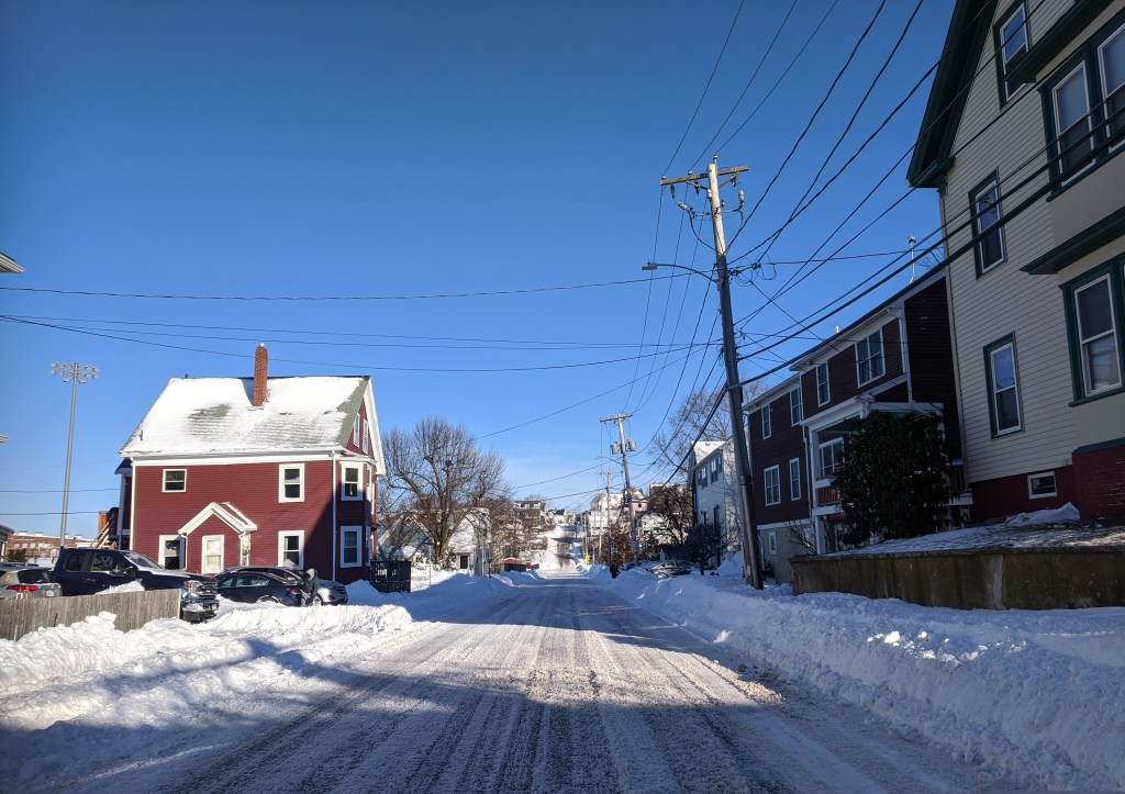
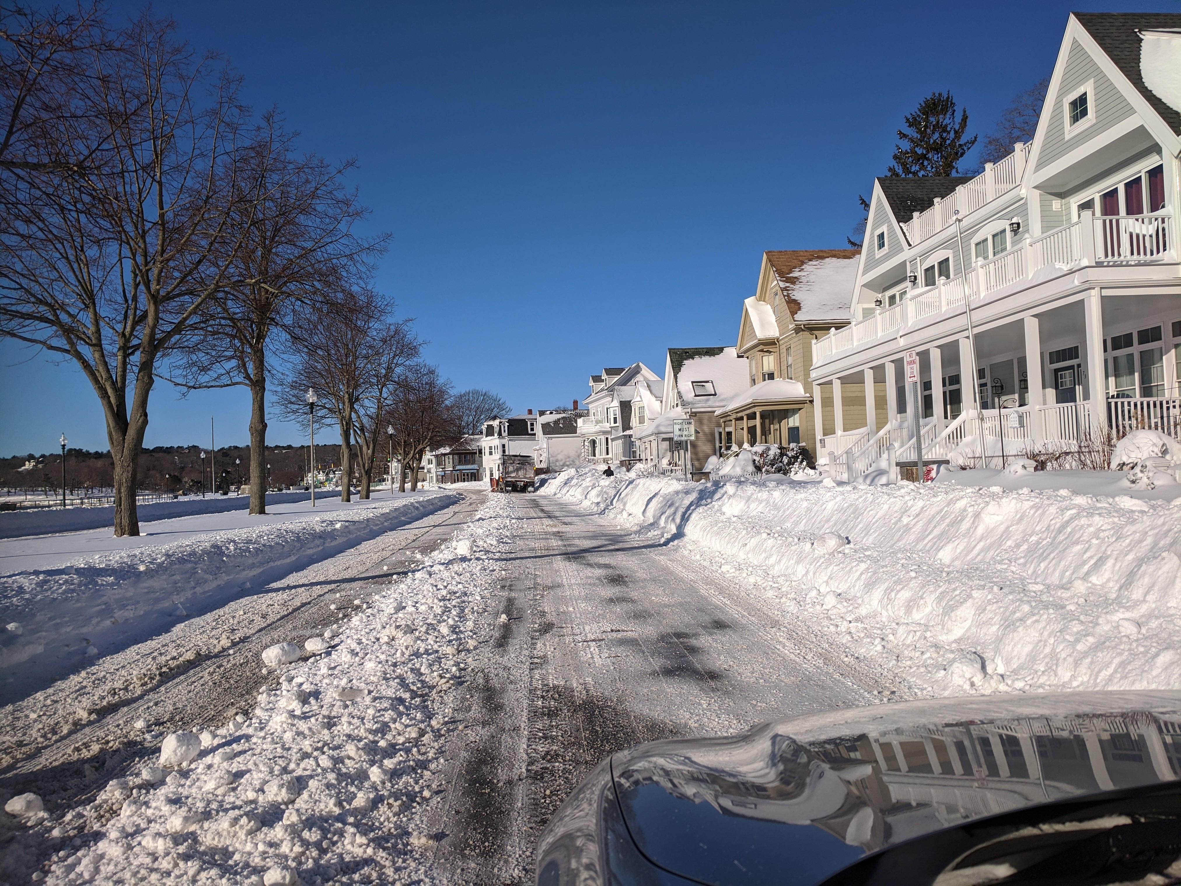
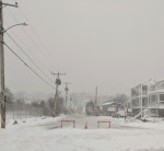
stunning winter morning, February 1, 2022, about 7:30 am. Gloucester, Ma.
incl. snapshot motifs: backshore, Centennial & Stacy Boulevard, Stage Fort park, Good Harbor Beach

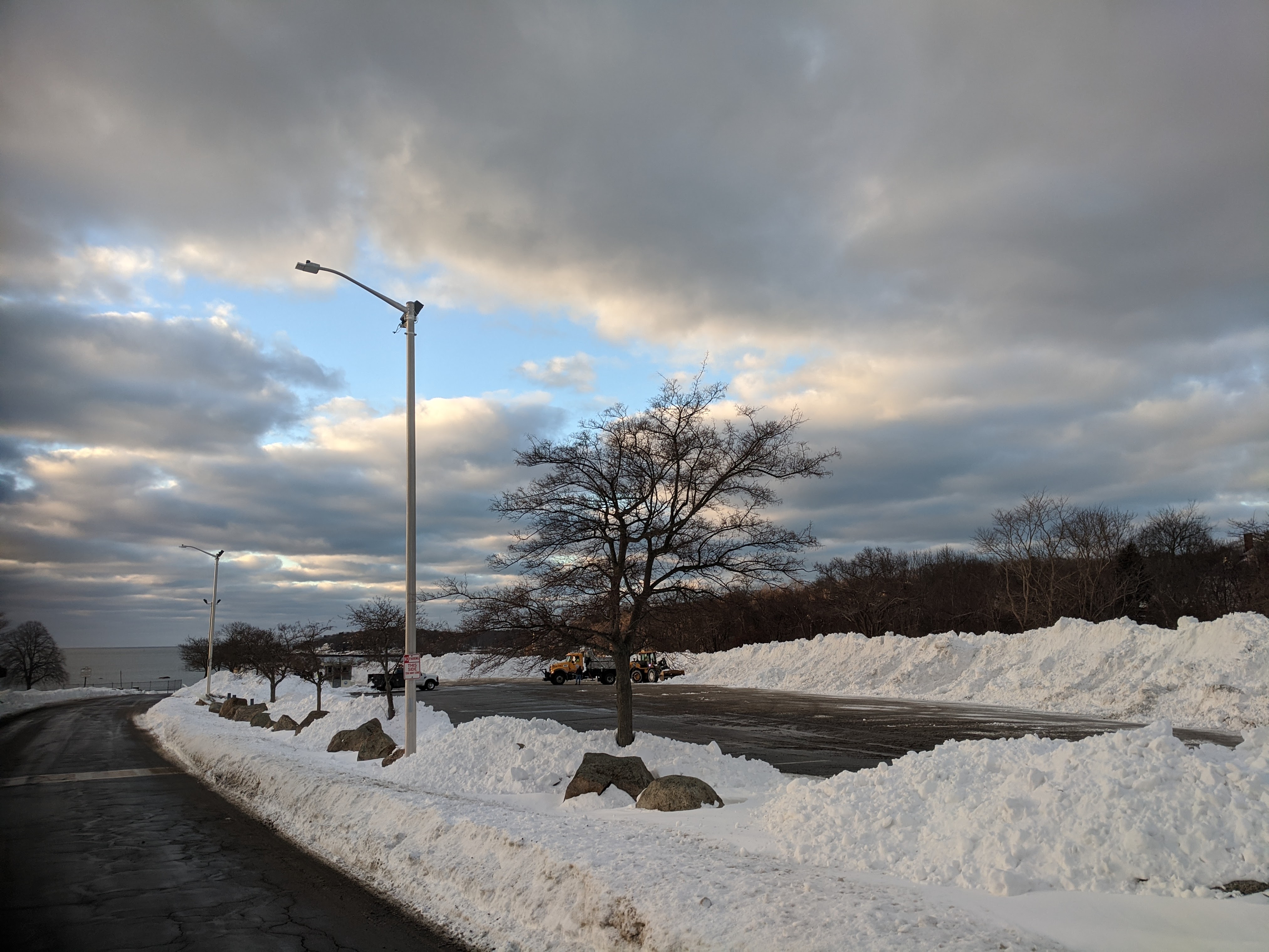
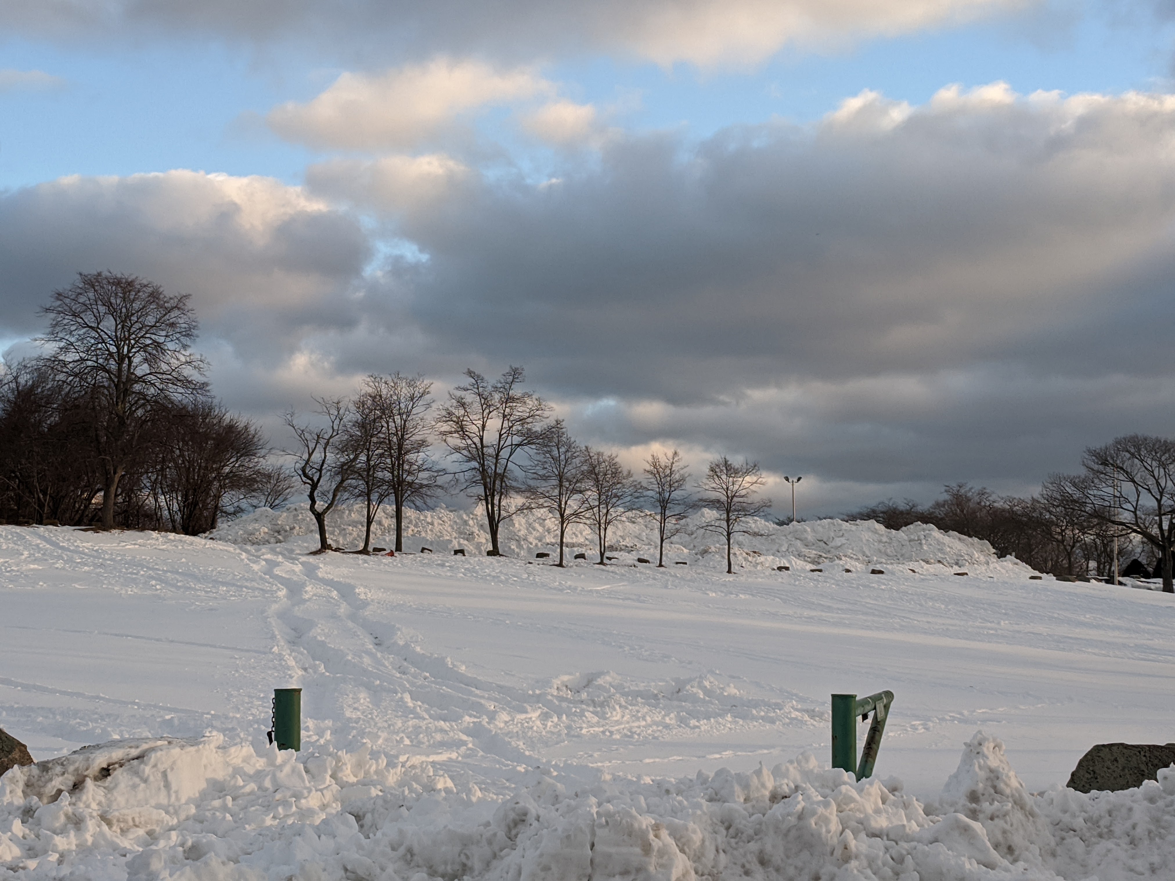
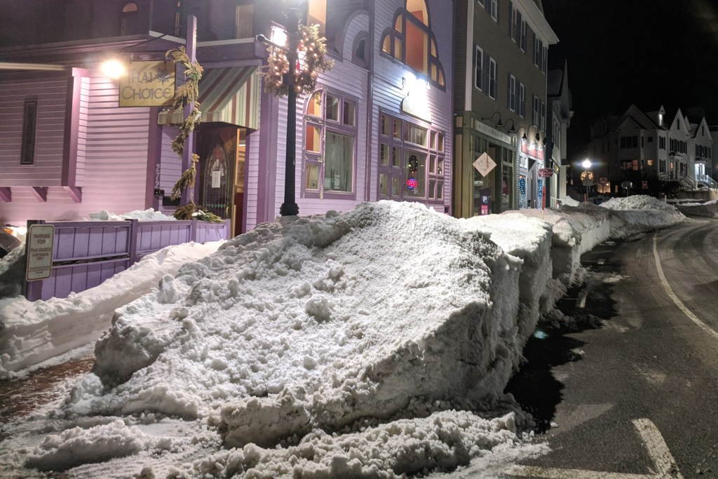
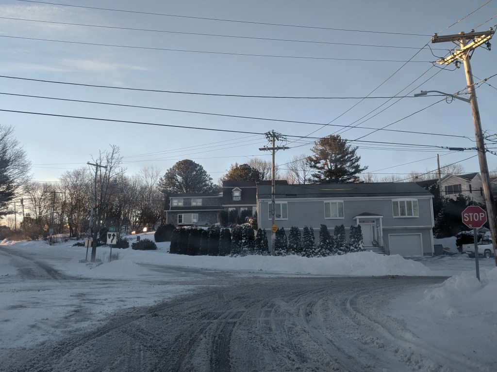
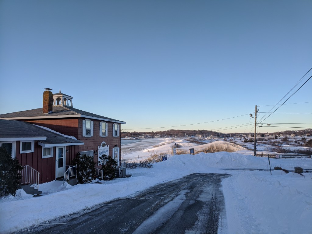
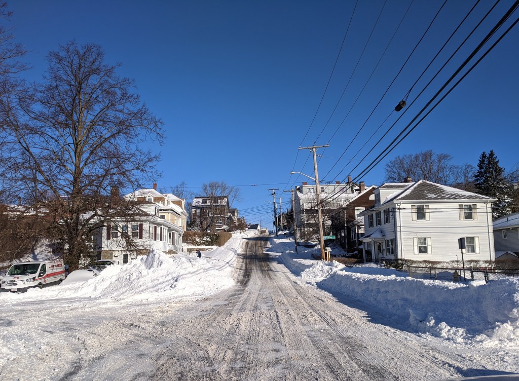
Jan. 31, 2022 – open with sidewalks and snowbank cuts ready for customers
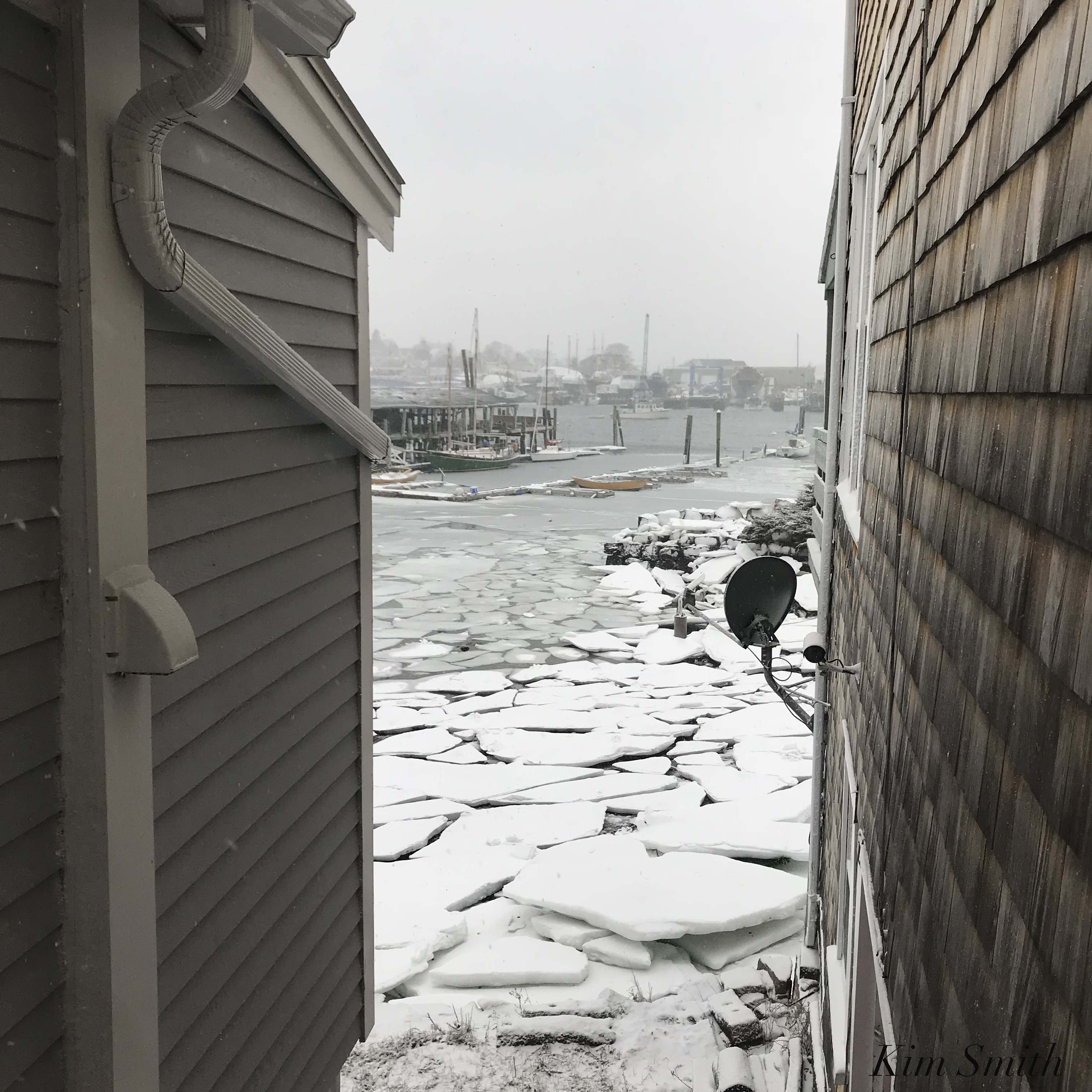
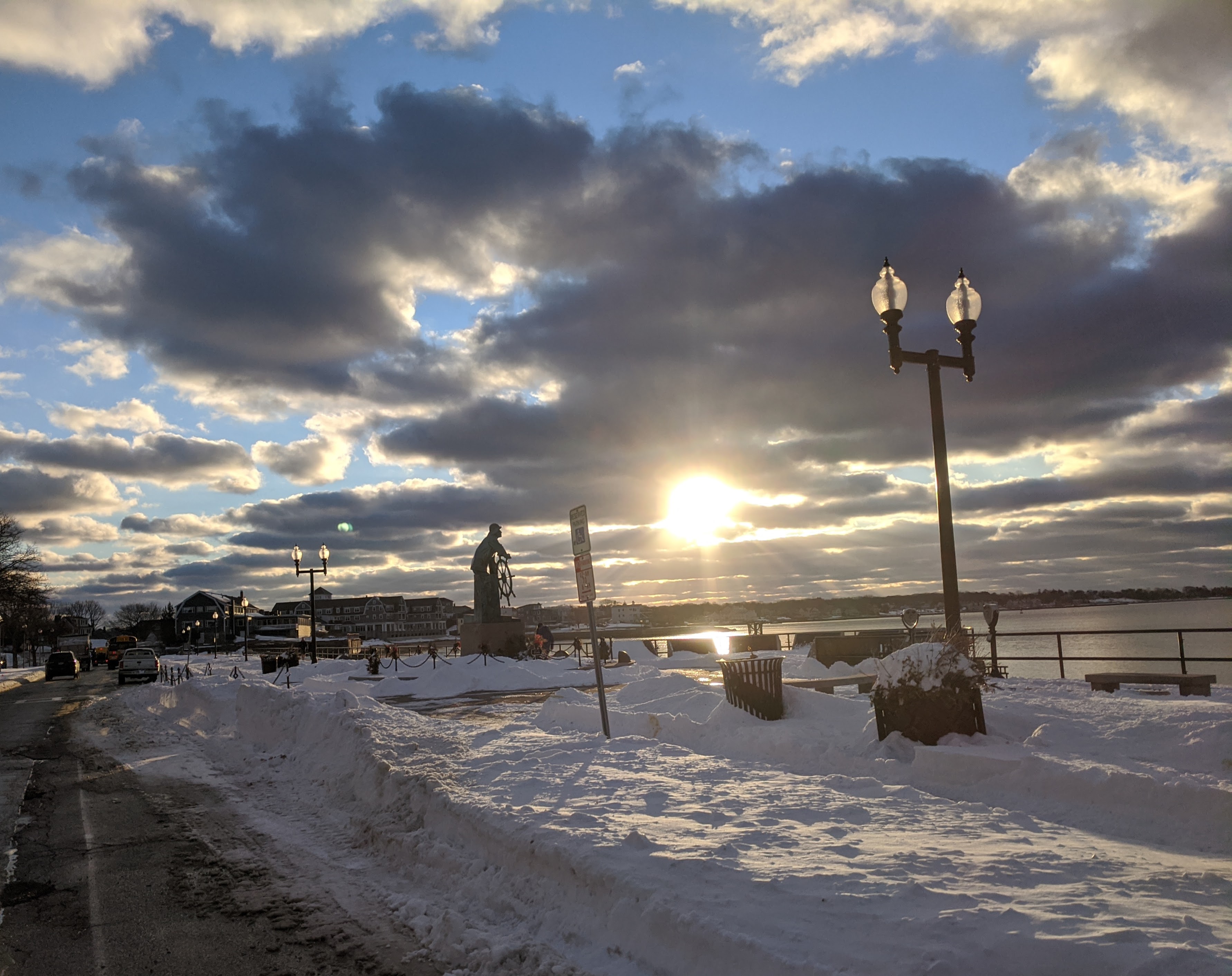
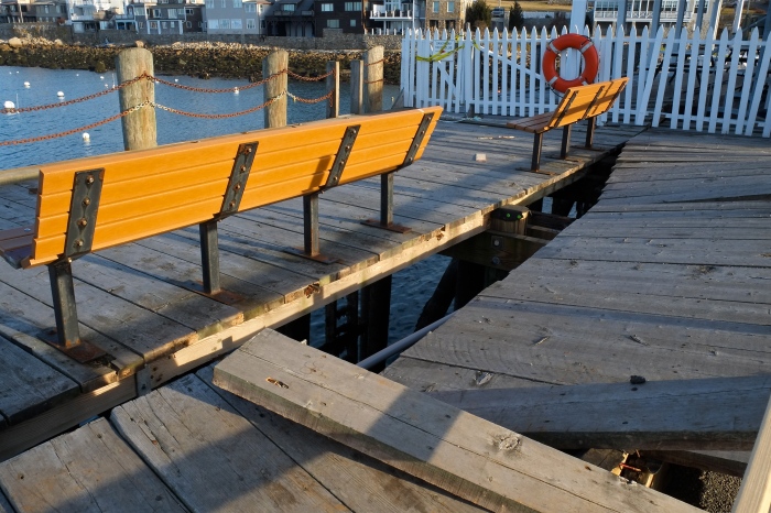
My View of Life on the Dock
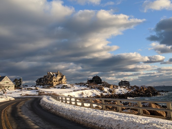
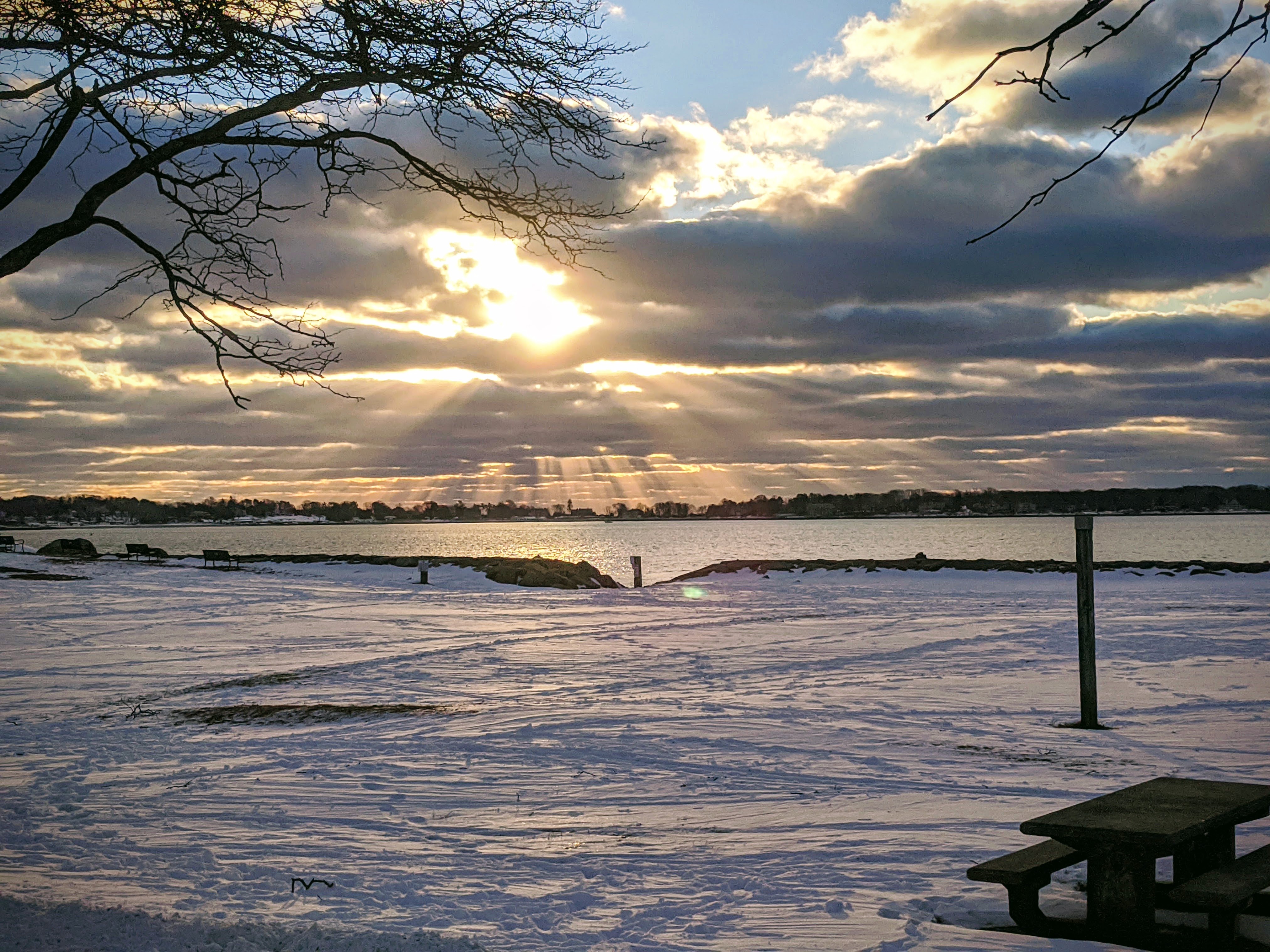
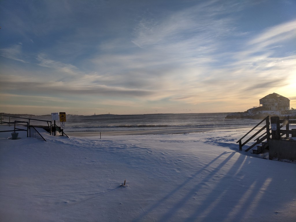
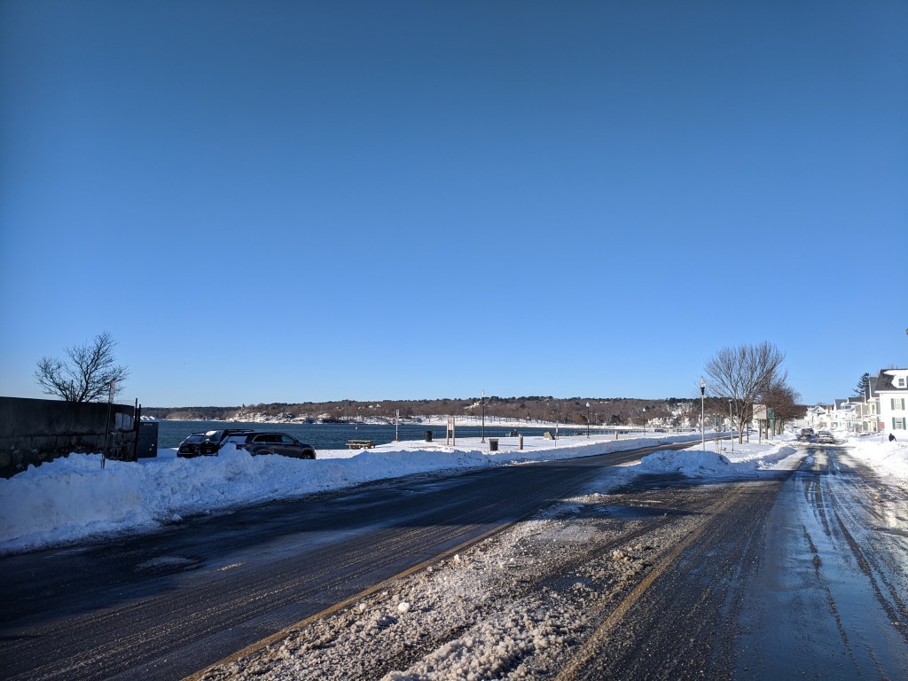
stunning winter morning, February 1, 2022, about 7:30 am. Gloucester, Ma.
incl. snapshot motifs: backshore, Centennial & Stacy Boulevard, Stage Fort park, Good Harbor Beach
Jan. 31, 2022 – open with sidewalks and snowbank cuts ready for customers

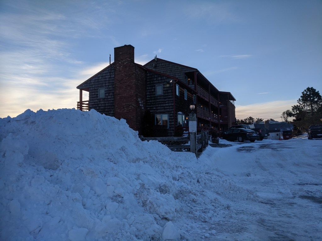
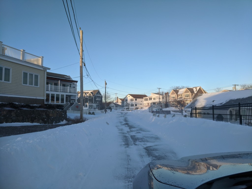
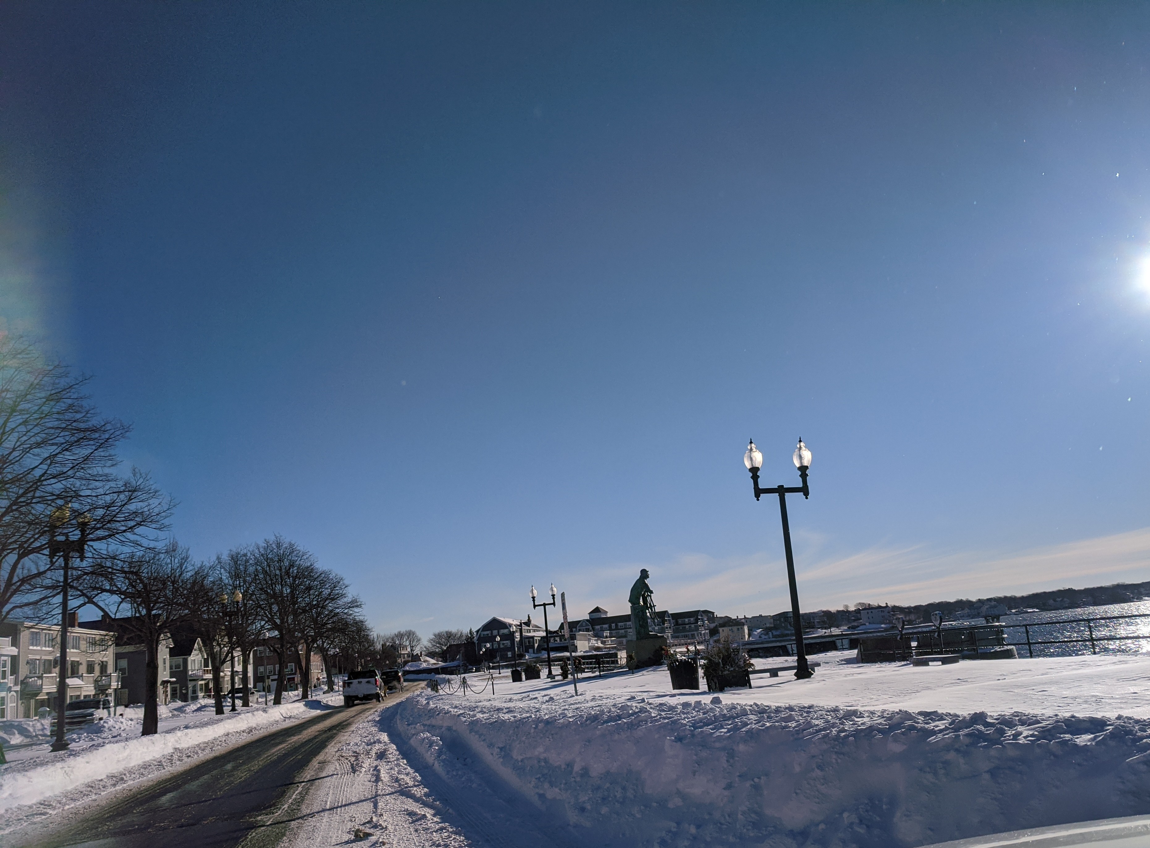
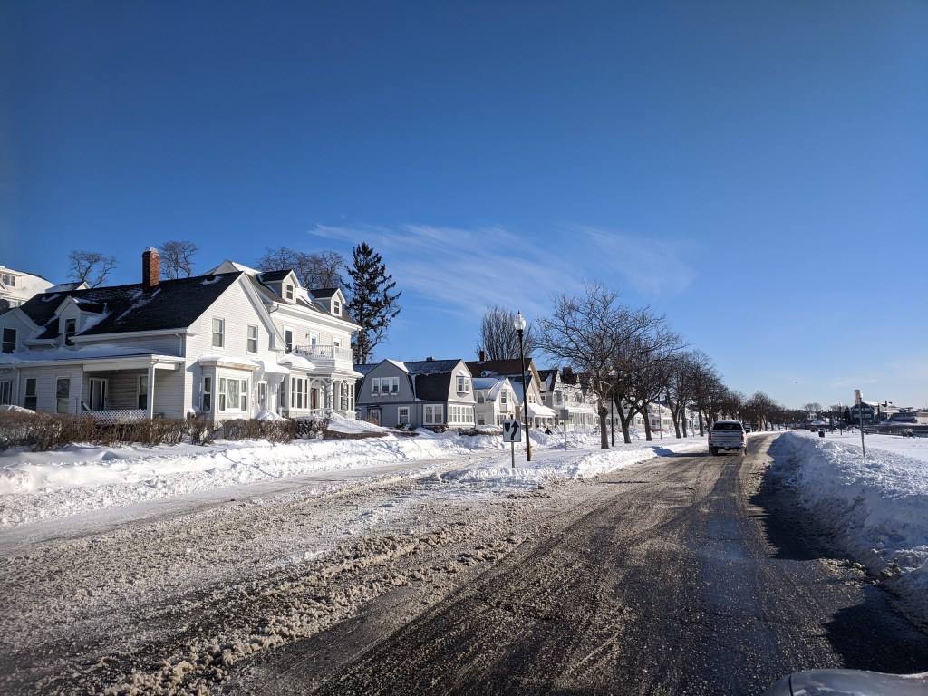
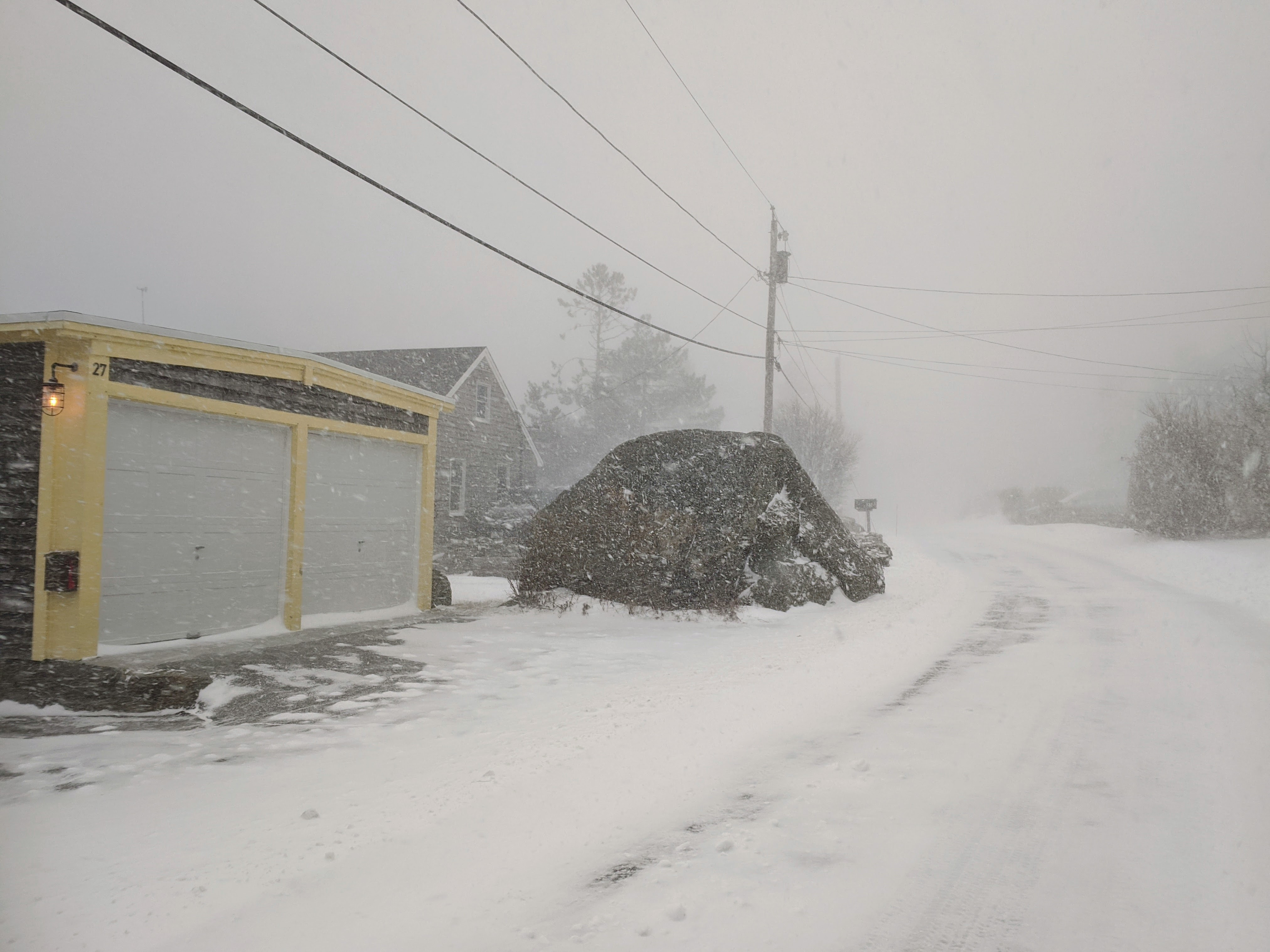
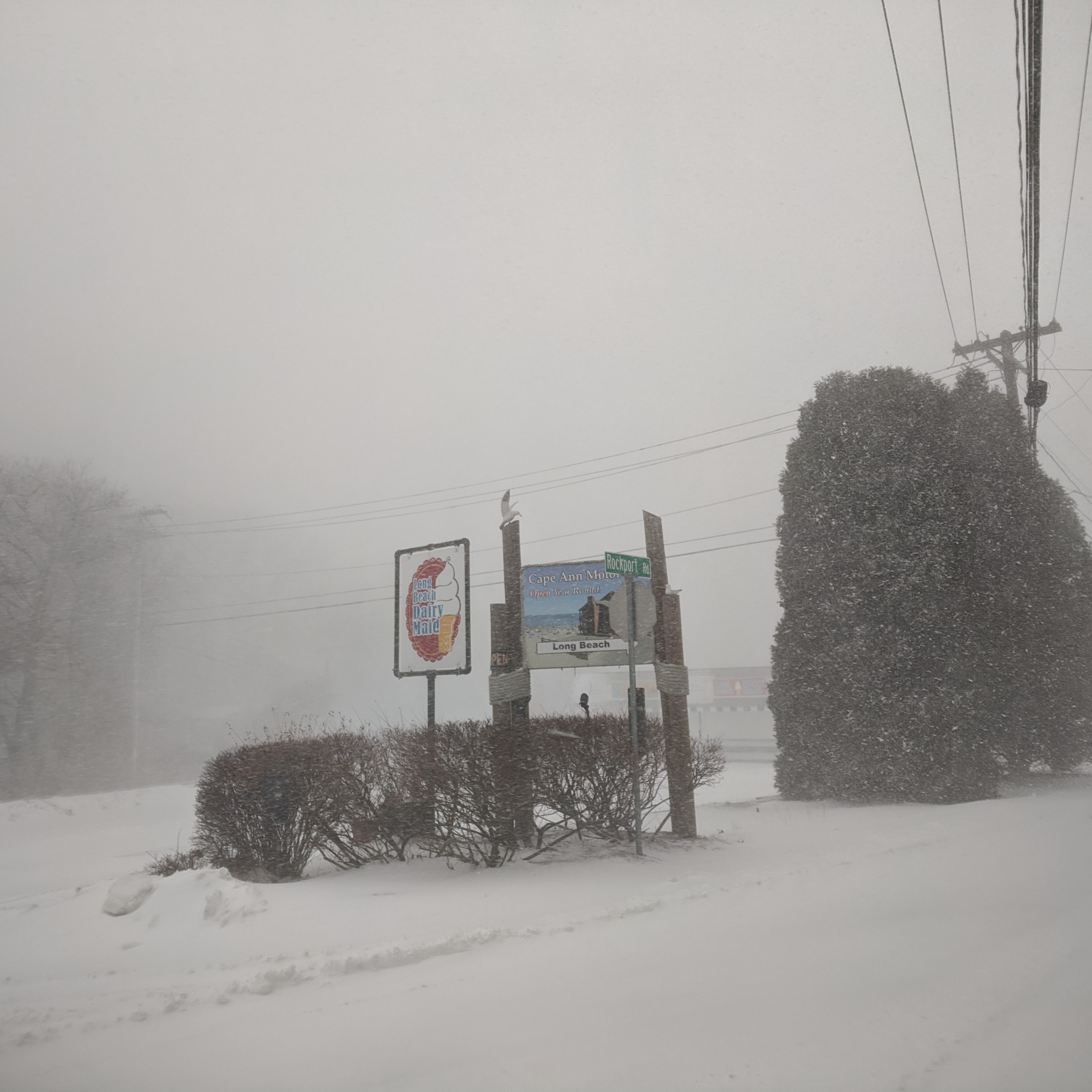
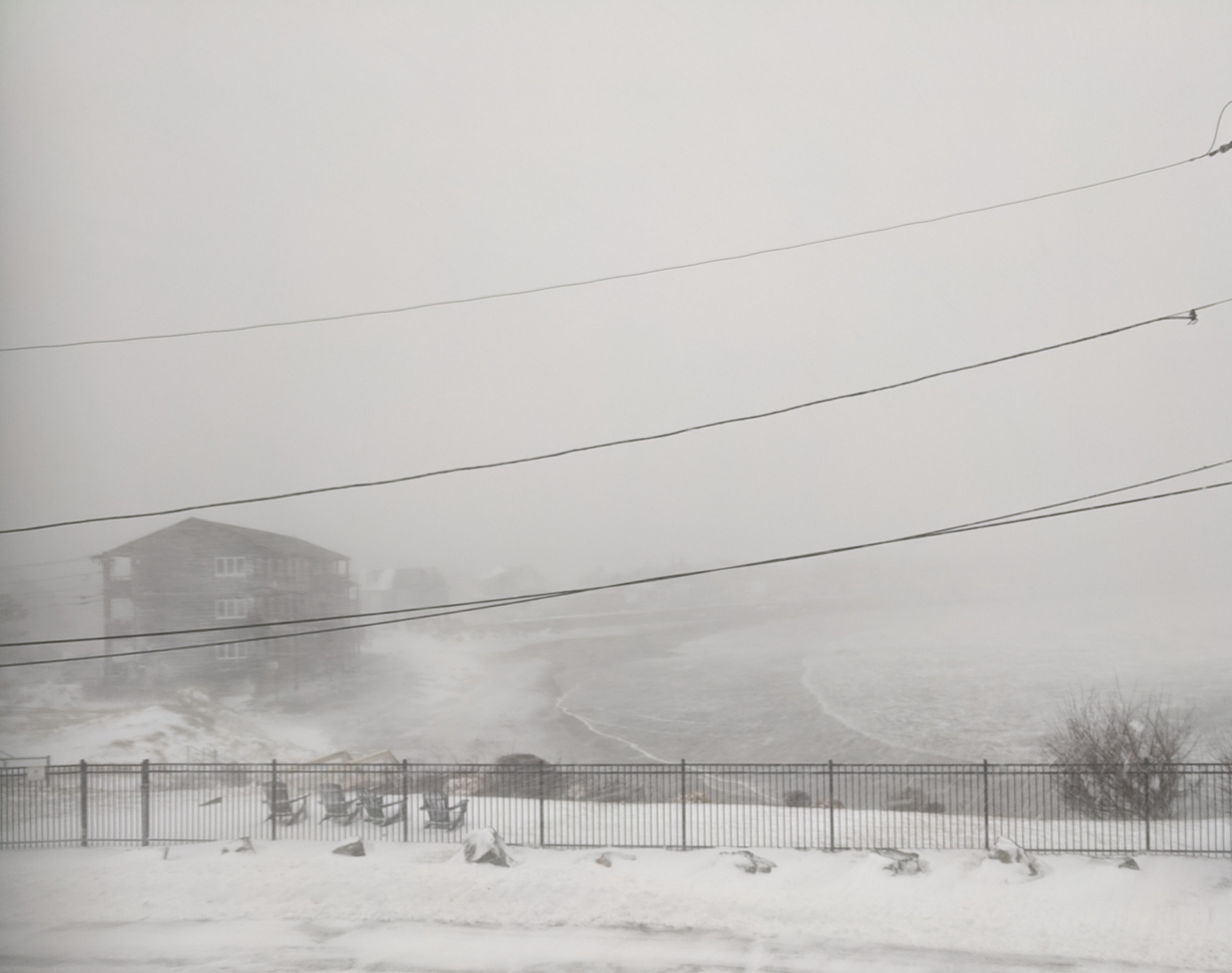
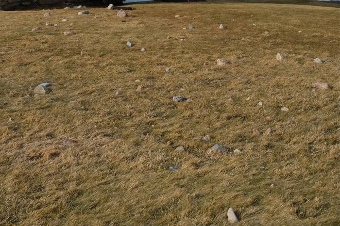
January 30, 2022. Gloucester, Ma. 730am. Snapshots. C.Ryan: Long Beach, Cape Ann Motor Inn, Thacher Road, Brier Neck Good Harbor Beach, Salt Island Road, Great Marsh oxbow behind Good Harbor Beach , Centennial, Boulevard, Duncan, Fitz Henry Lane / Harbor Loop,
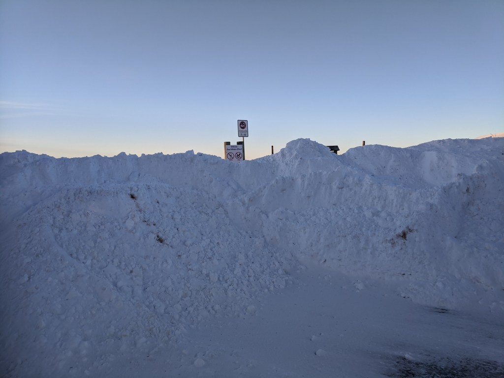
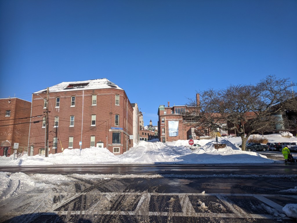
Everywhere city and residents digging out.
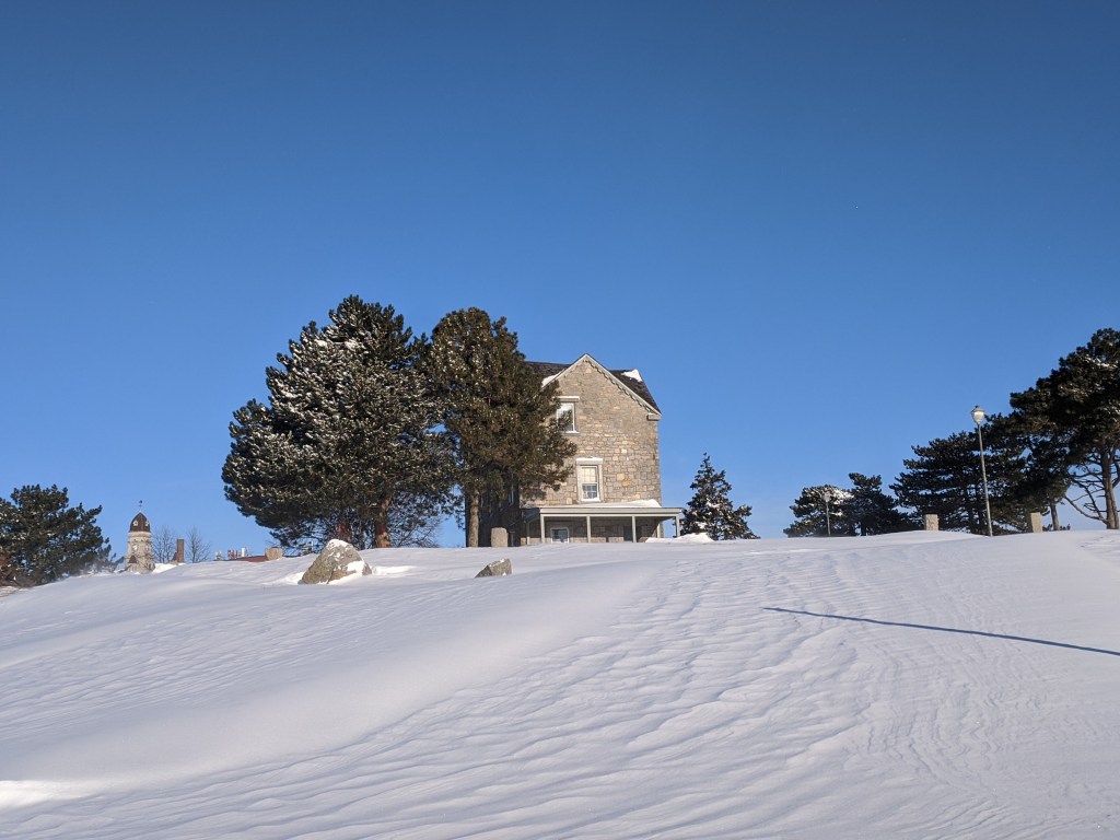
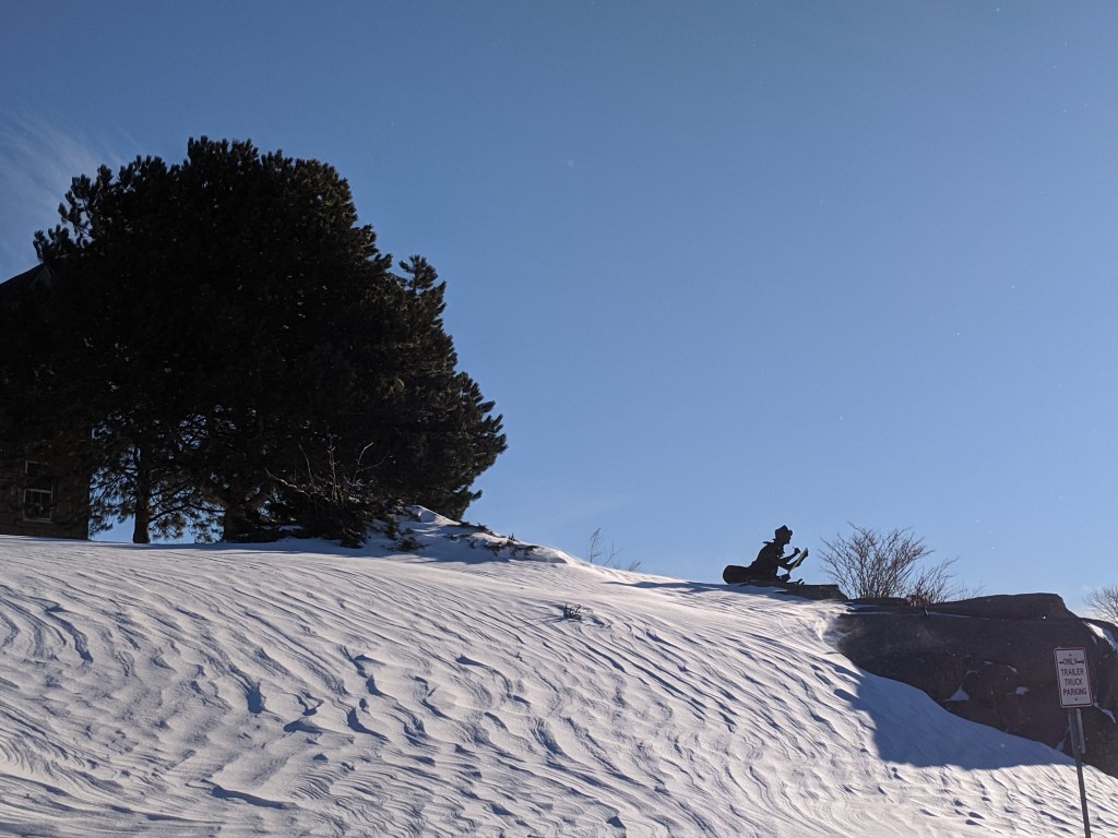
FHL sledding 😉
–More coming —

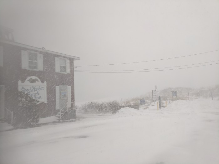
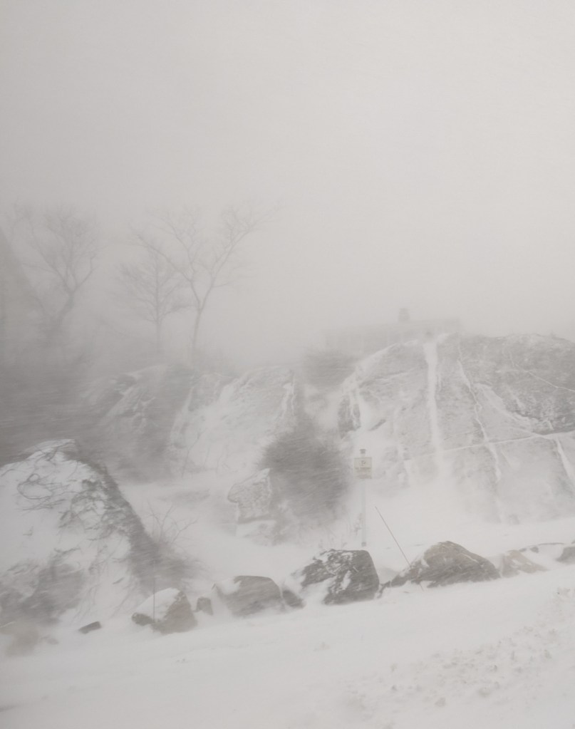
Gloucester, MA 10-11am white out walk. snapshots and video clips: Naomi Drive. Rockport Road. Salt Island Road. Brier Neck. Good Harbor Beach Inn. Good Harbor Beach. Thacher Road.
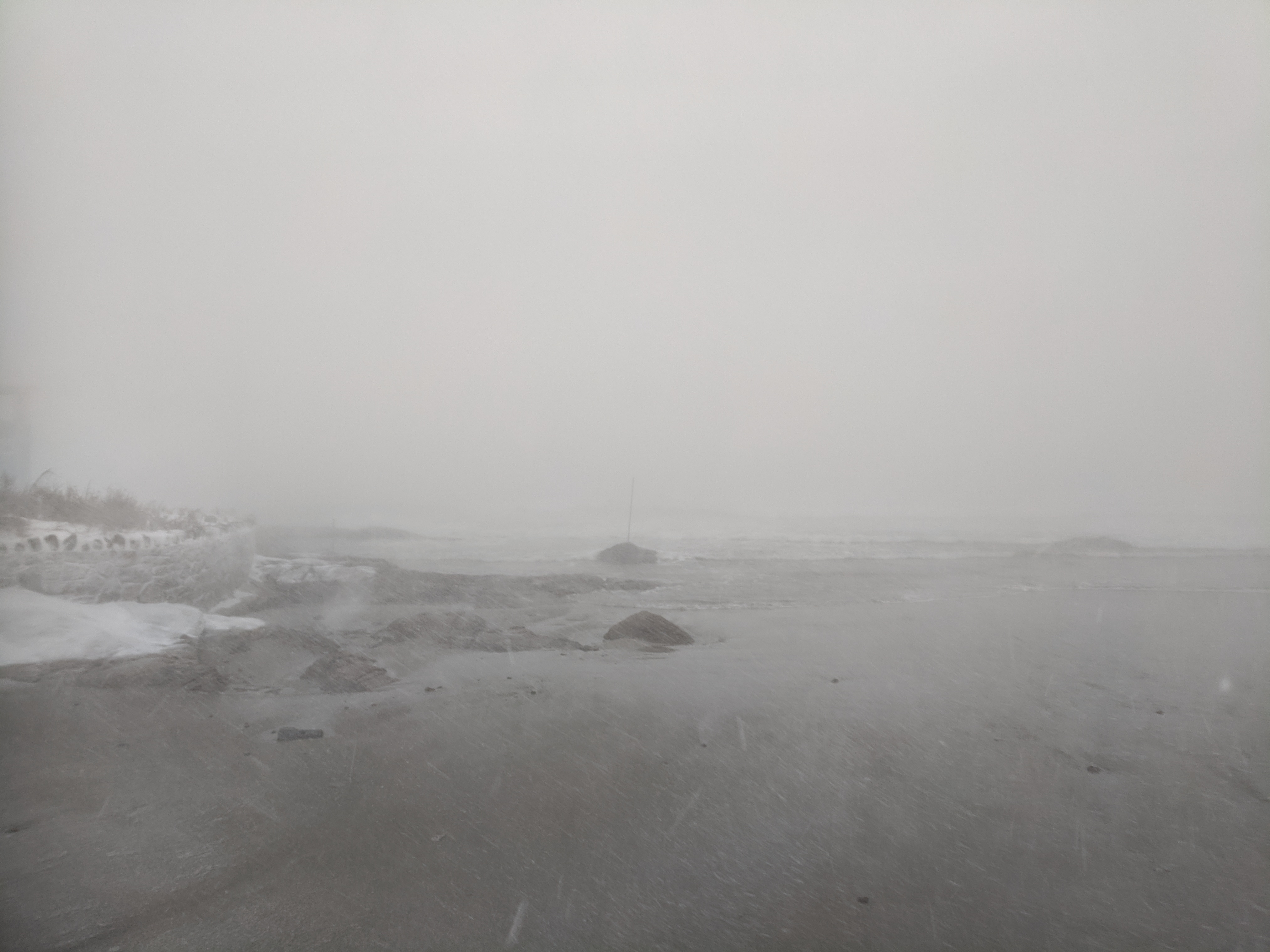
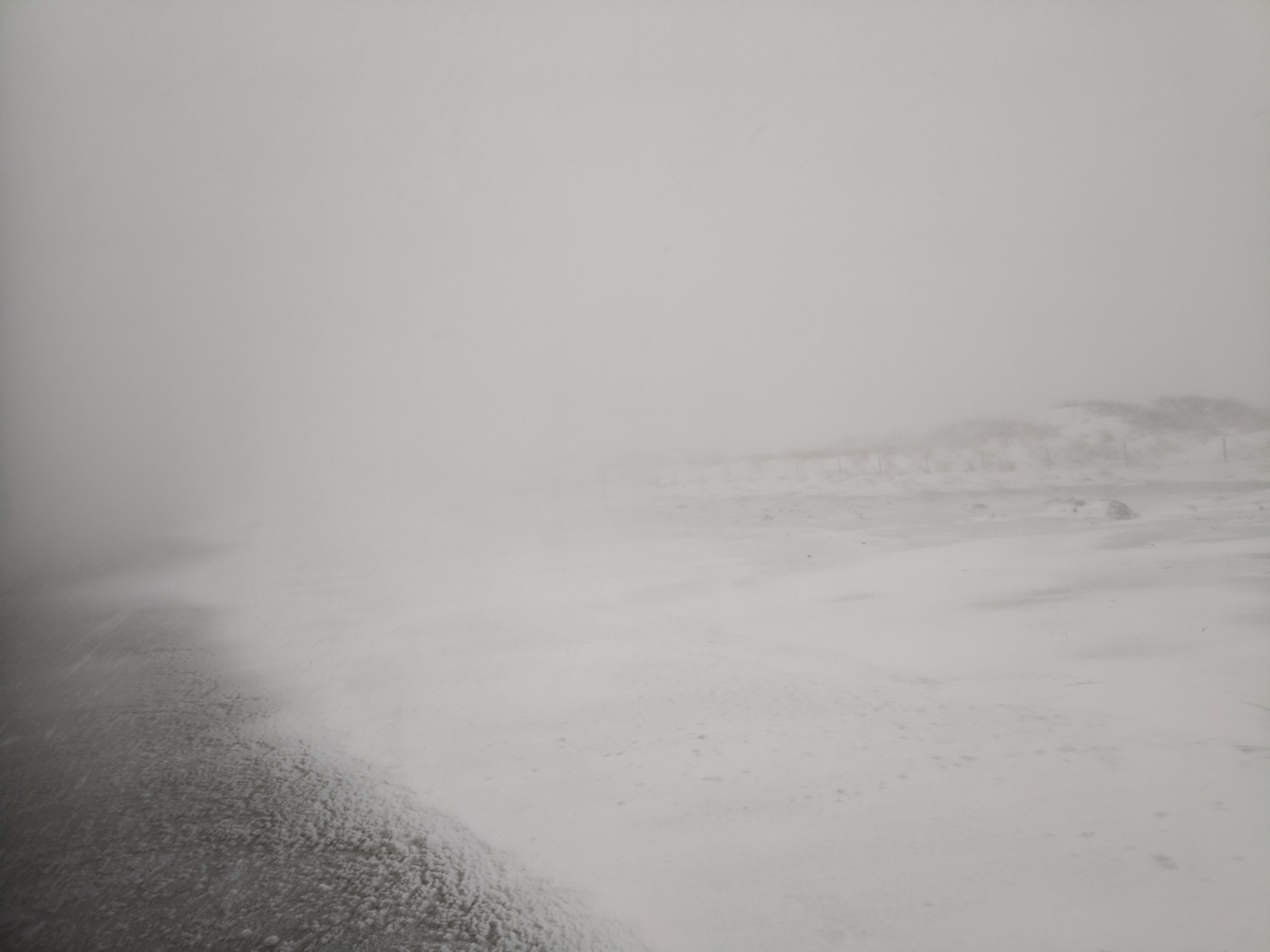
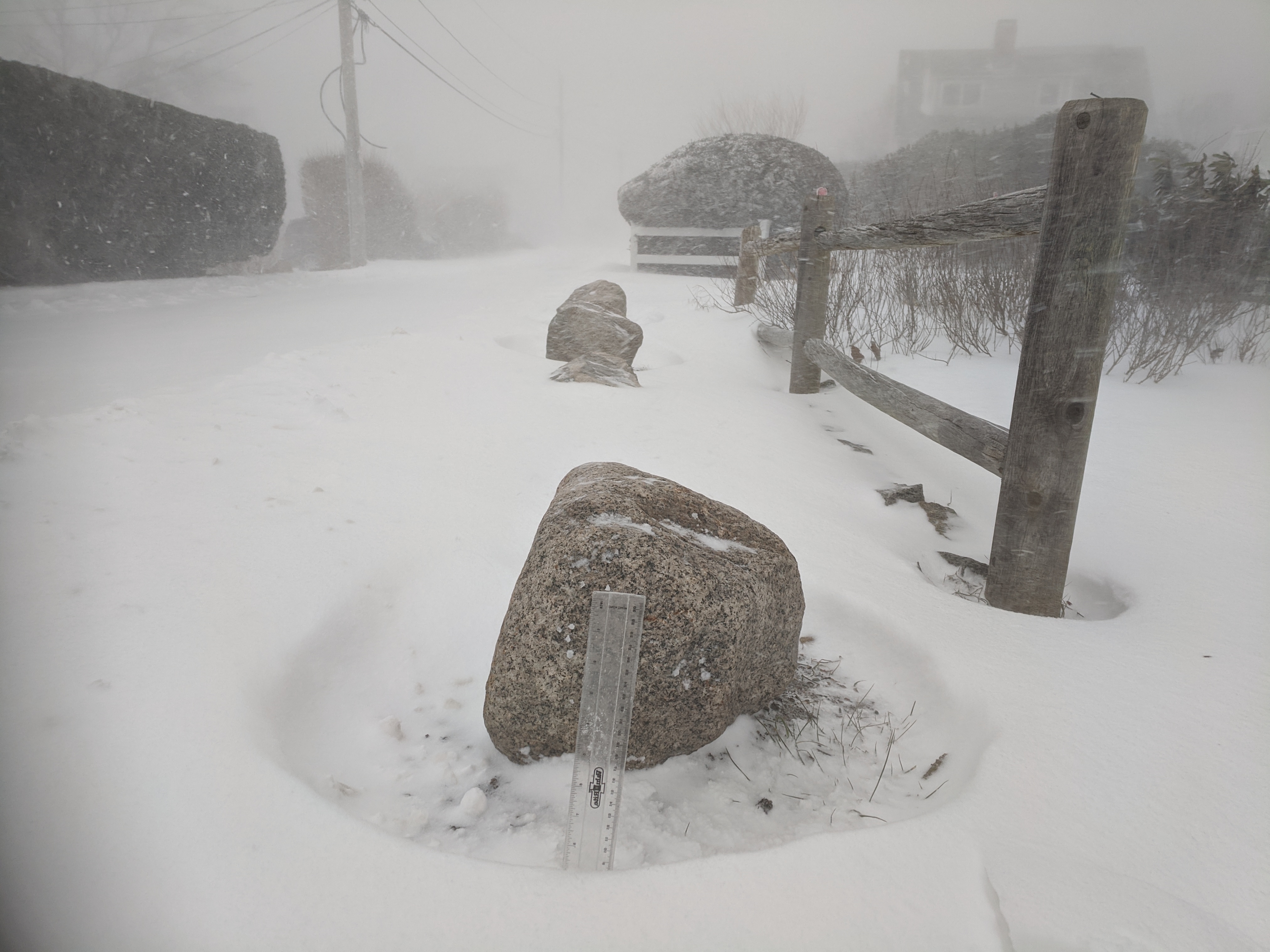
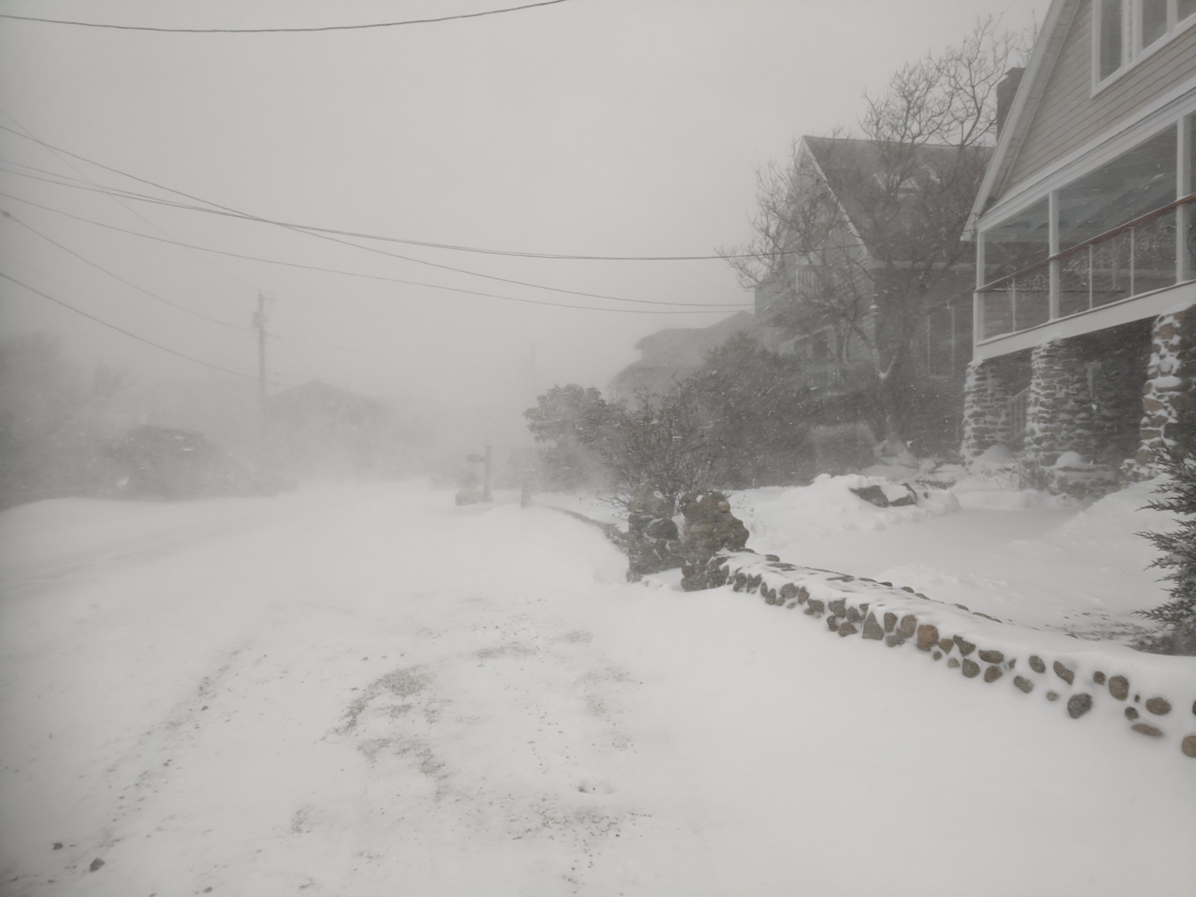
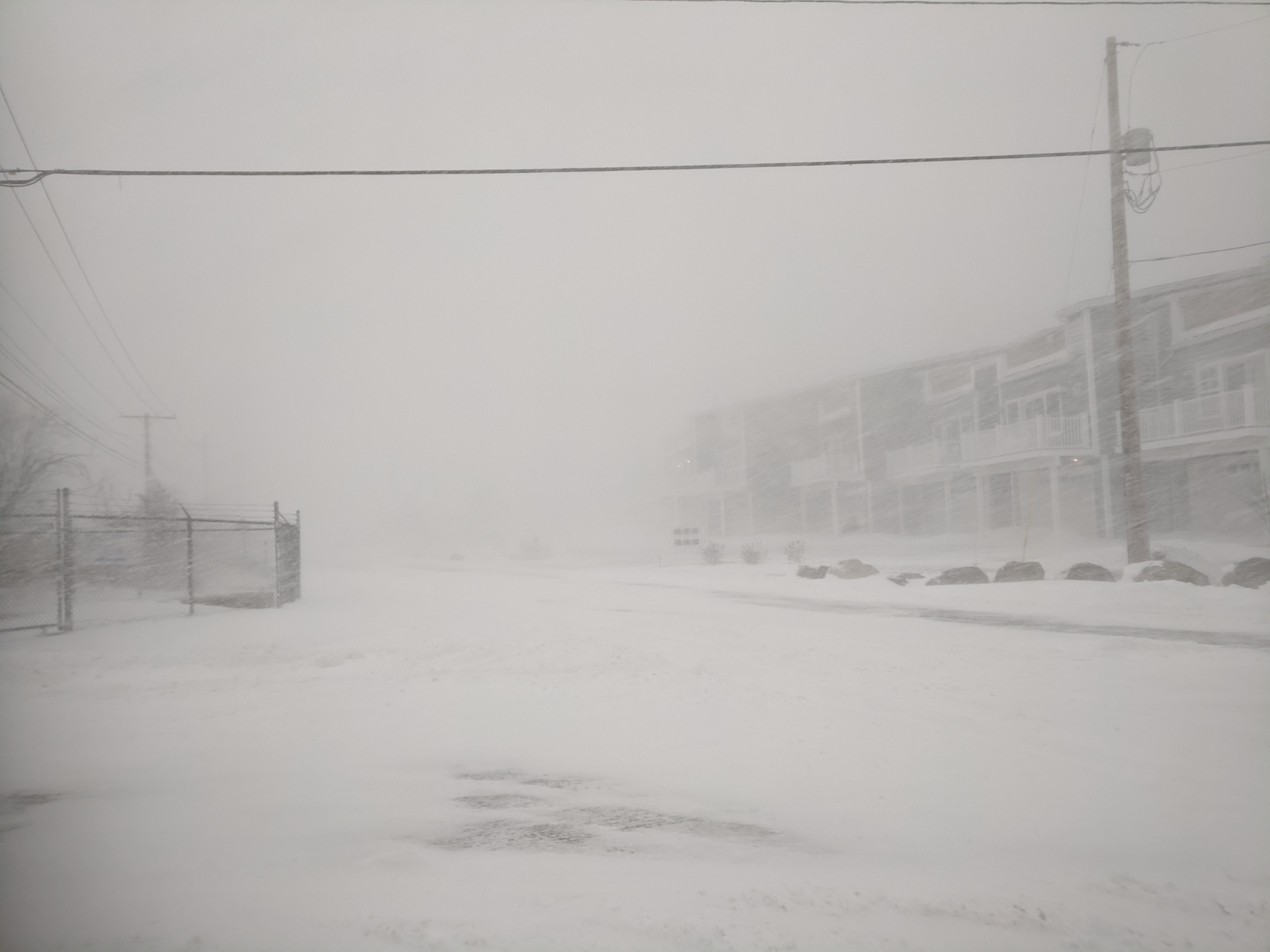
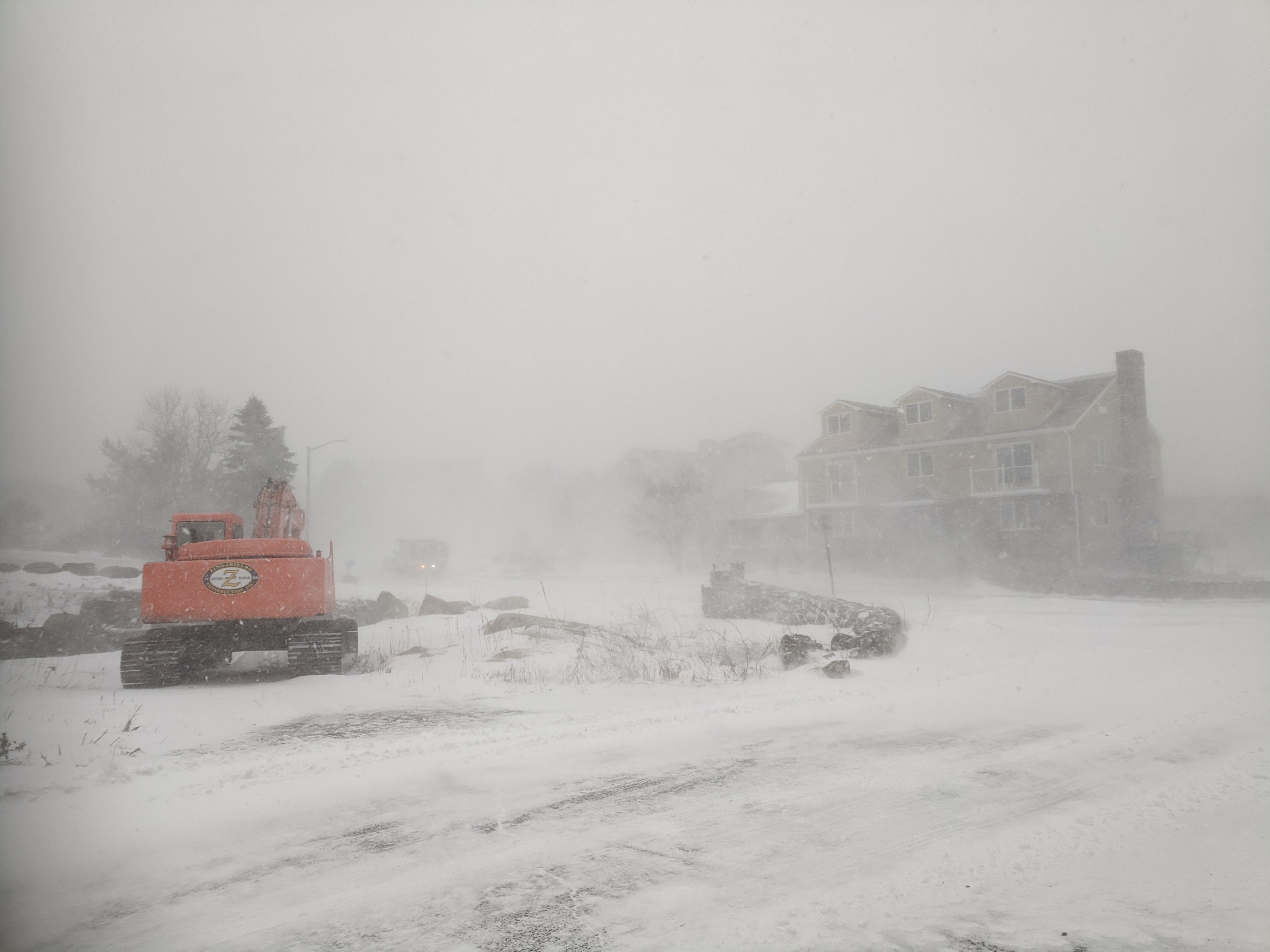
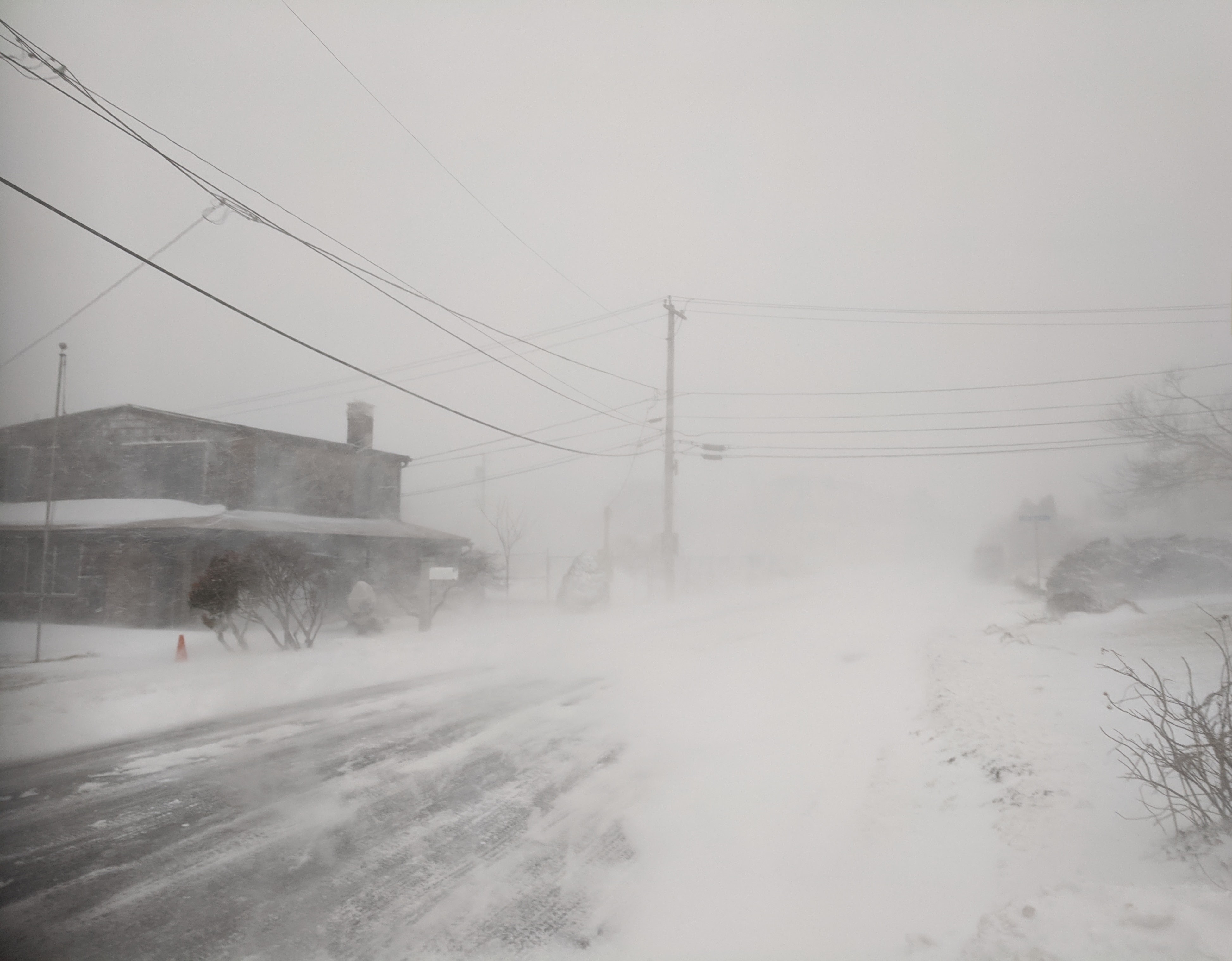
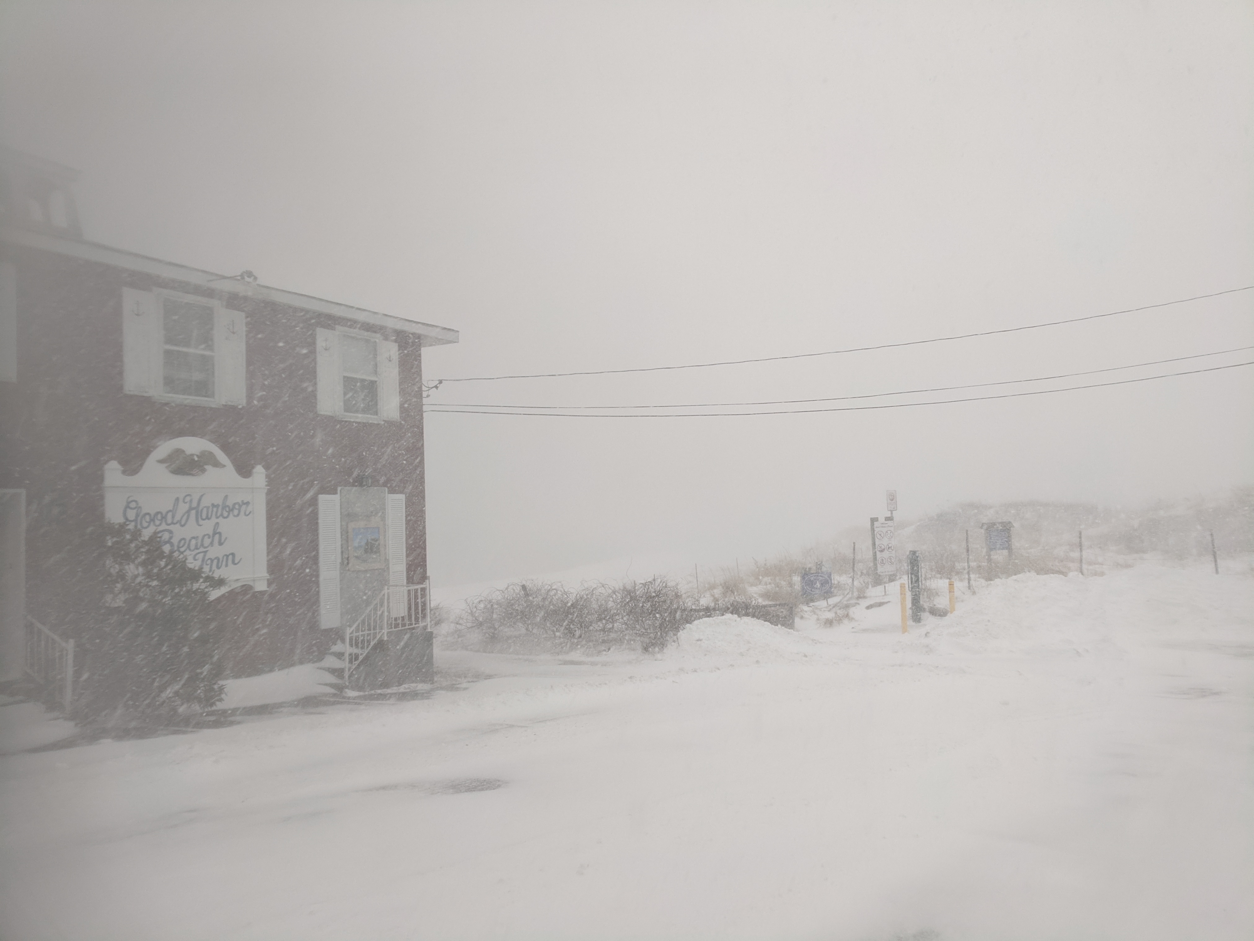
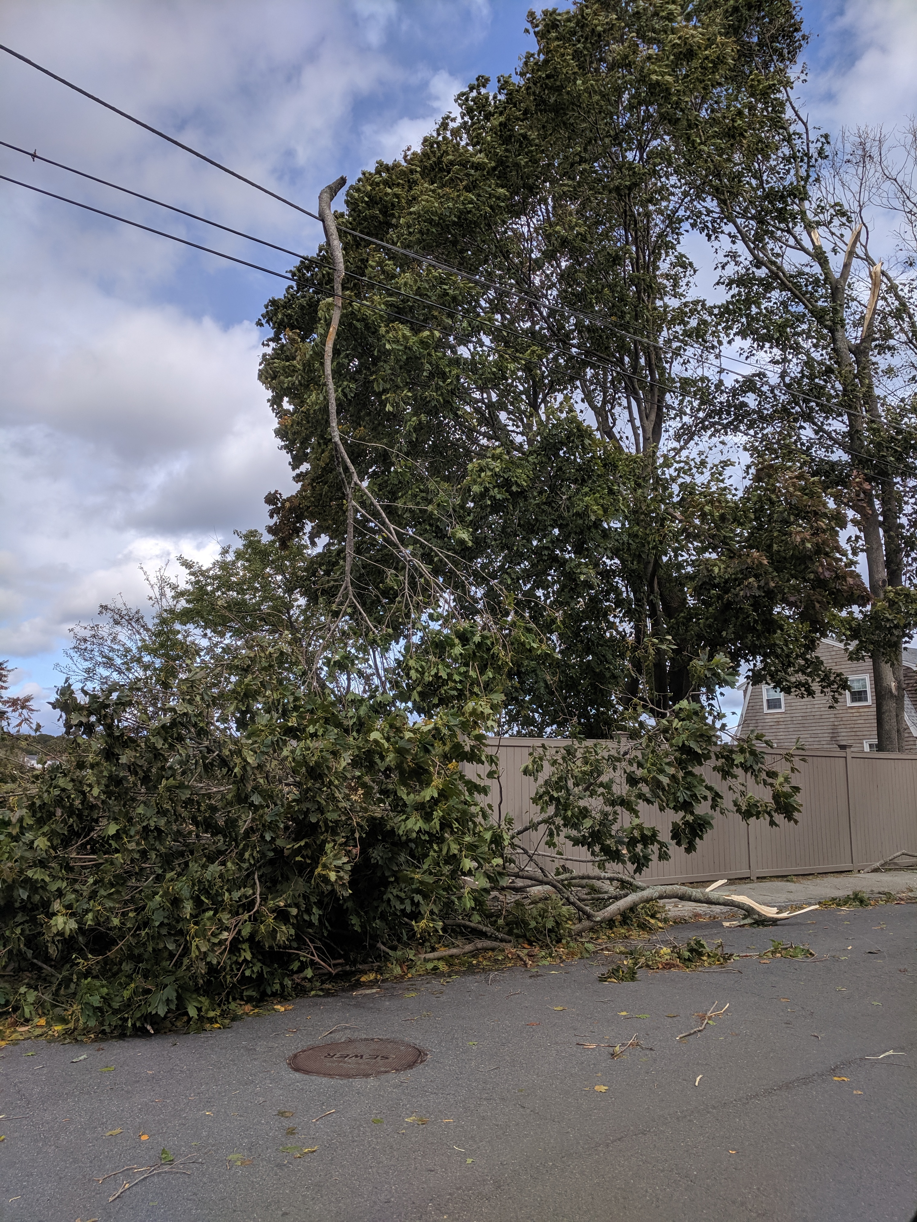
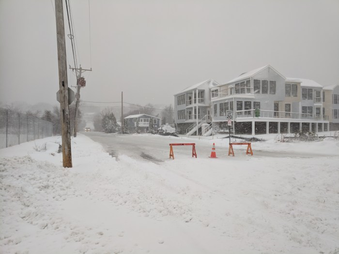
White out walk. Strong winds on the coast are keeping the snow inches down, and everywhere swaths of bare ground alternate with drifts ankle high to mid thigh. Snow walls are building at intersections as the busy plows stay ahead of this heavy winter battering.
Answer below break.

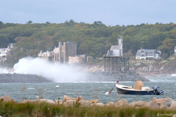


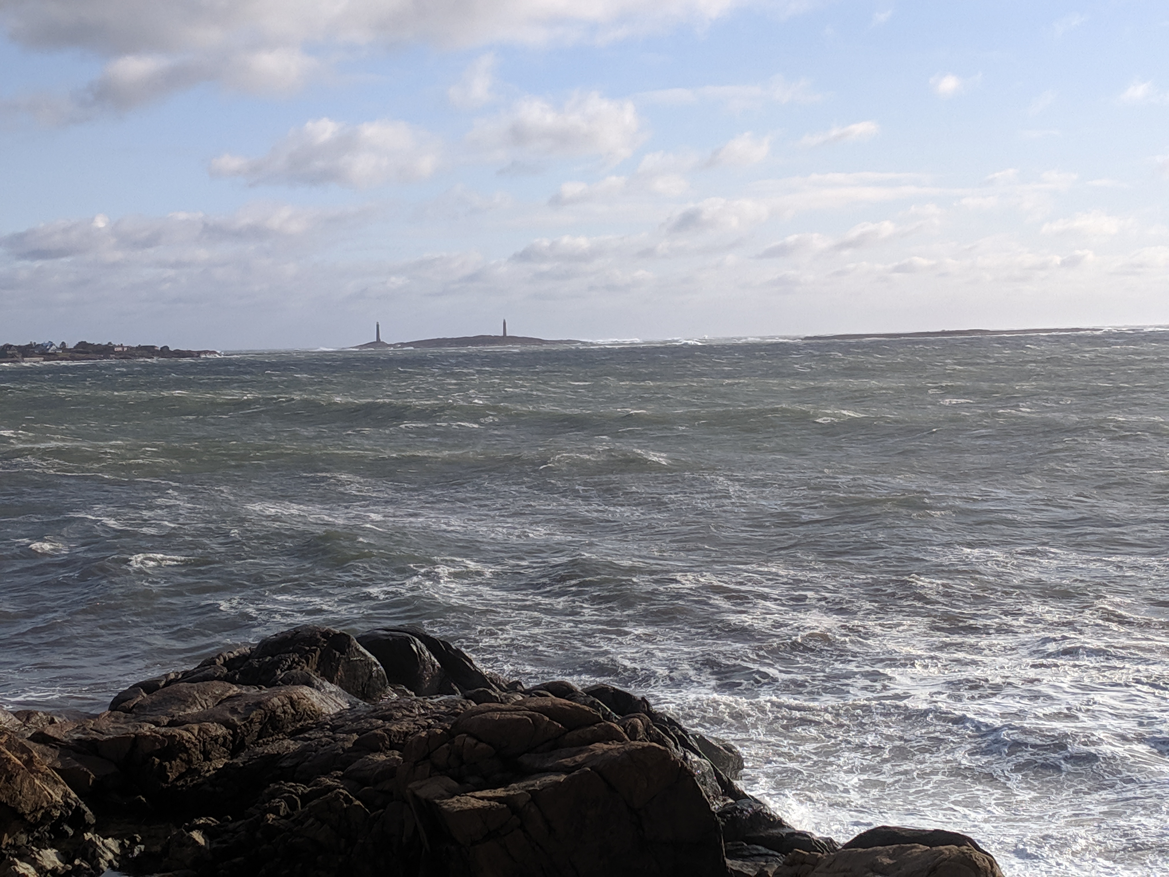
The definition of a ‘bomb cyclone’ is one that drops in pressure by at least 24 millibars in 24 hours or less. As this storm intensified, the central pressure dropped to a new record for lowest pressure during October in our area.


See Joey’s post of Anejo rescue here.

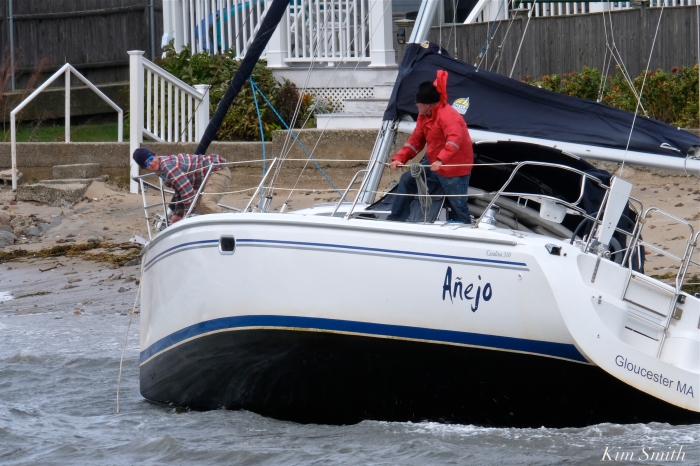
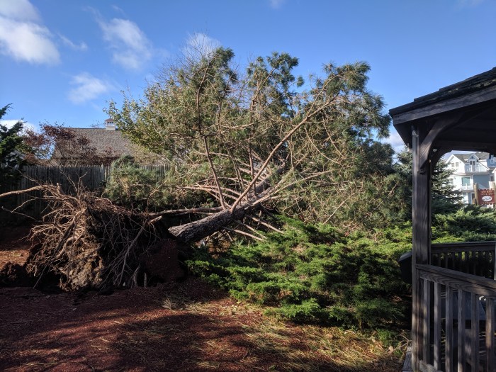
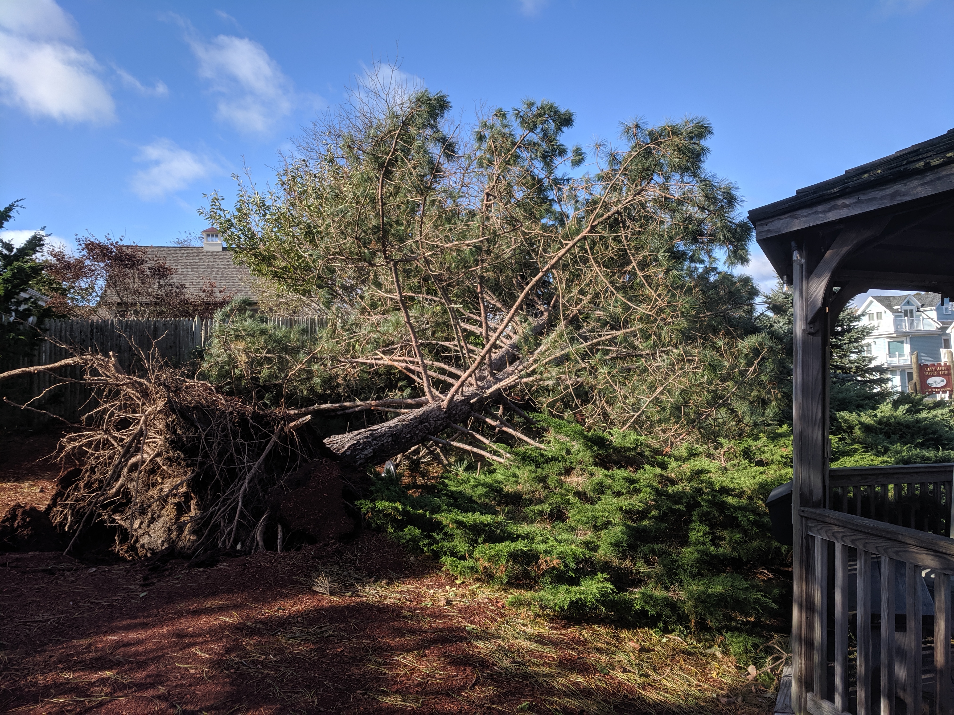
Sailboat Anejo run amok at Wonson’s Cove


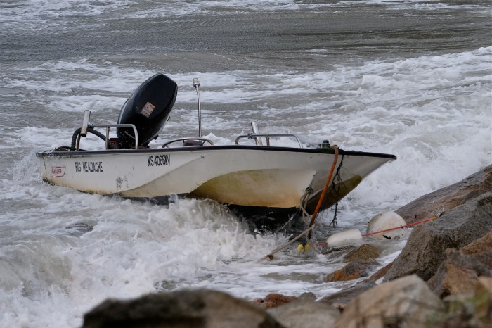
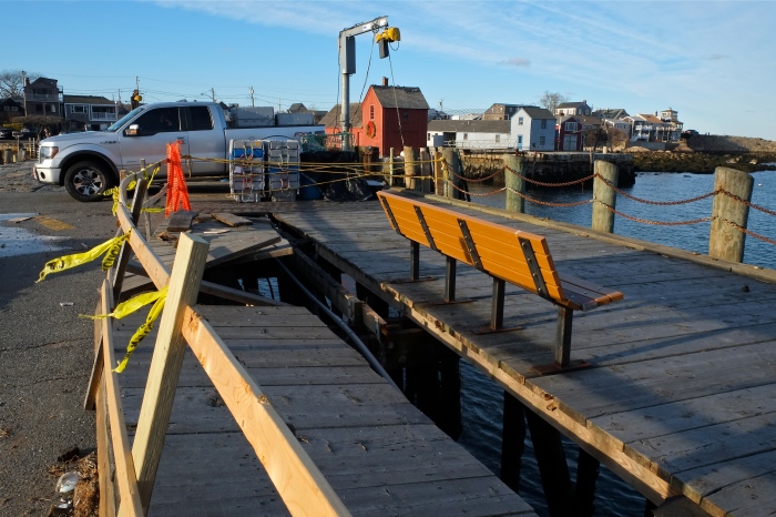
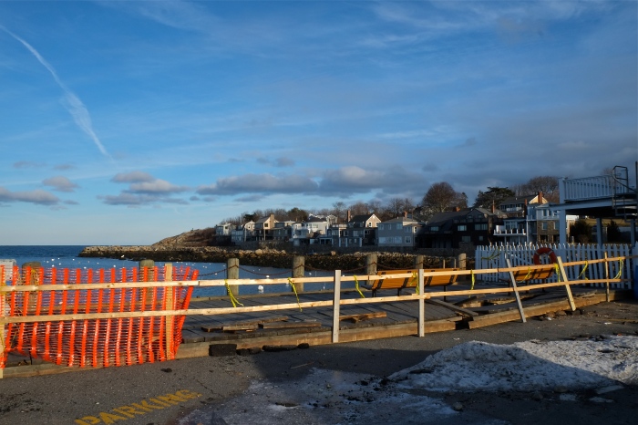
The Big Headache at Raymond’s Beach


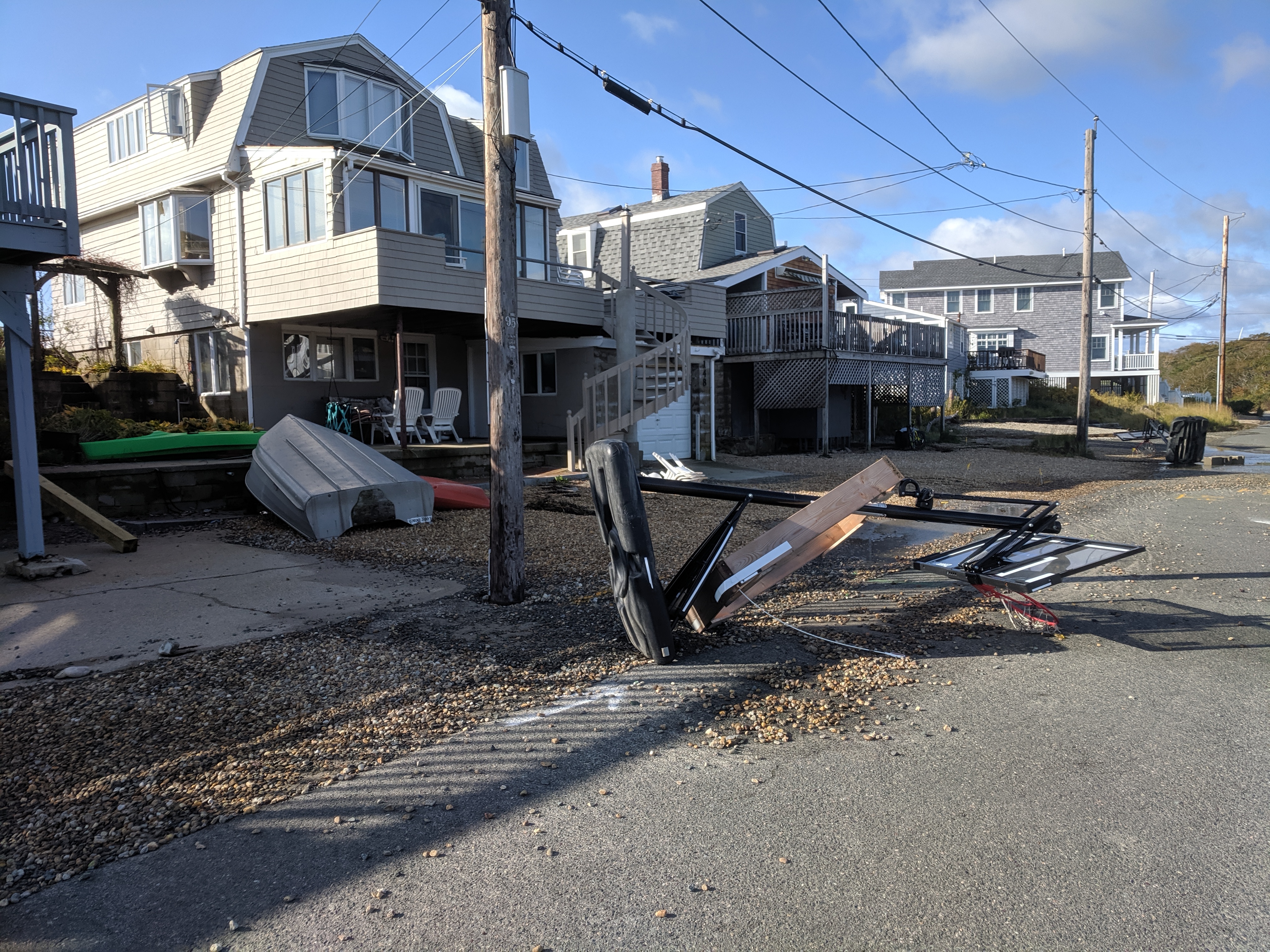
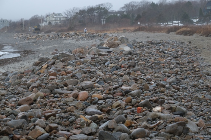
Long Beach riprap cleared of sand now
Sandstorm on beach sent us to the back of the Long Beach cottages. Strong winds continue.

March 2, 2018. Riley so far (photos and 2min video low tide 8:30–11:15AM,the first high tide)
Continue reading “Life of Riley – Nor’easter storm #GloucesterMA”

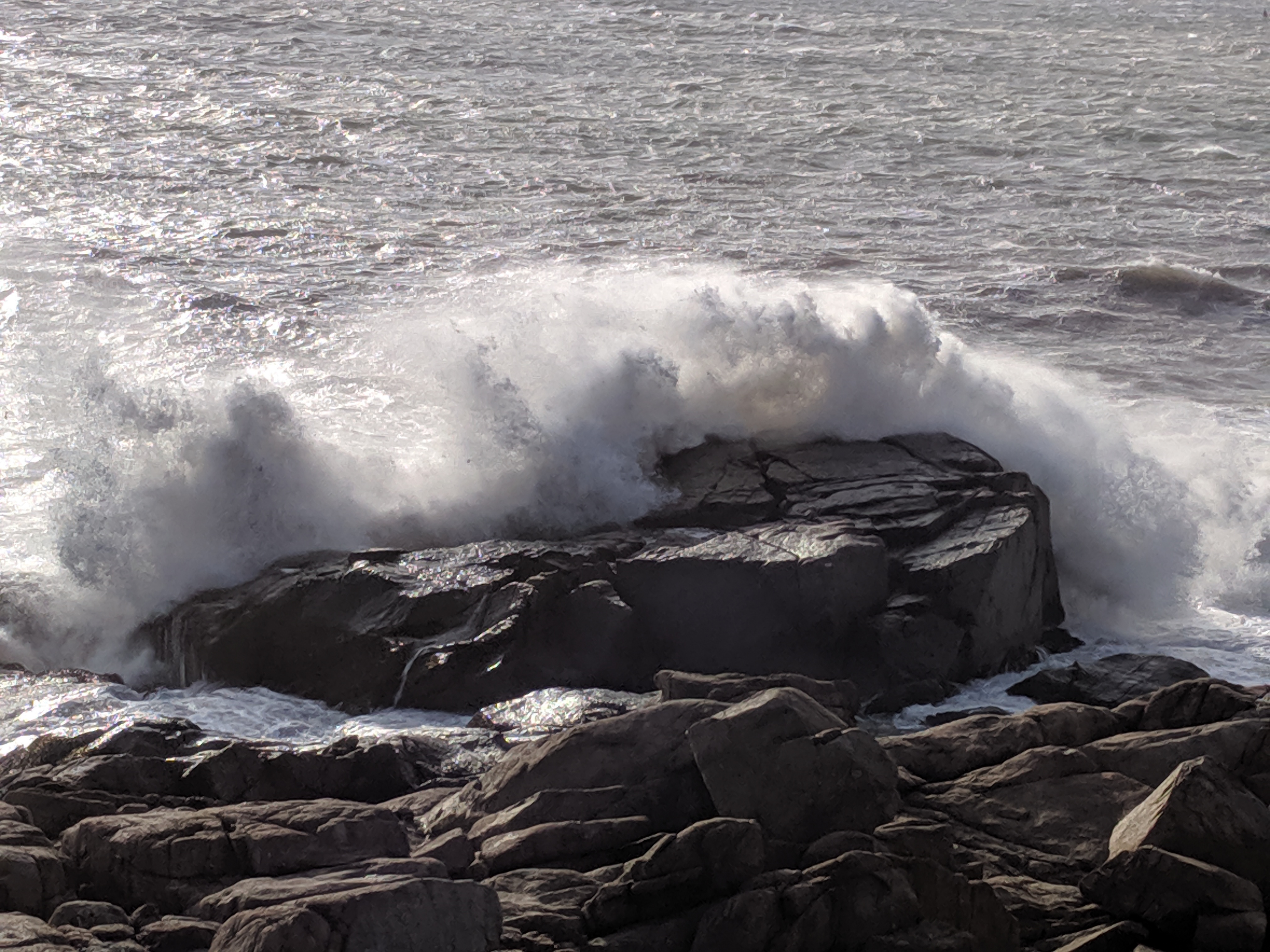
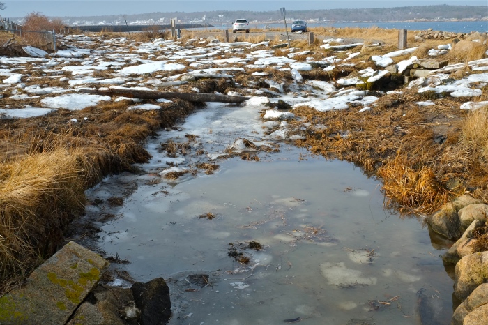
Rain this past week melted the snow, revealing more destruction from the 2018 Bombcyclone. Stopping at favorite places along the backshore, the storm surge left in its wake damage to T-wharf, the road is completely washed out at Pebble Beach, and Eastern Point marsh and storm drains are clogged with debris.
T-Wharf, Rockport
Pebble Beach and Henry’s Pond. The storm surged pushed the rocks over the bank and into the road. Saltwater found a path and gushed into Henry’s Pond.
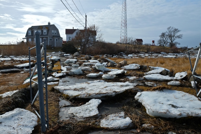
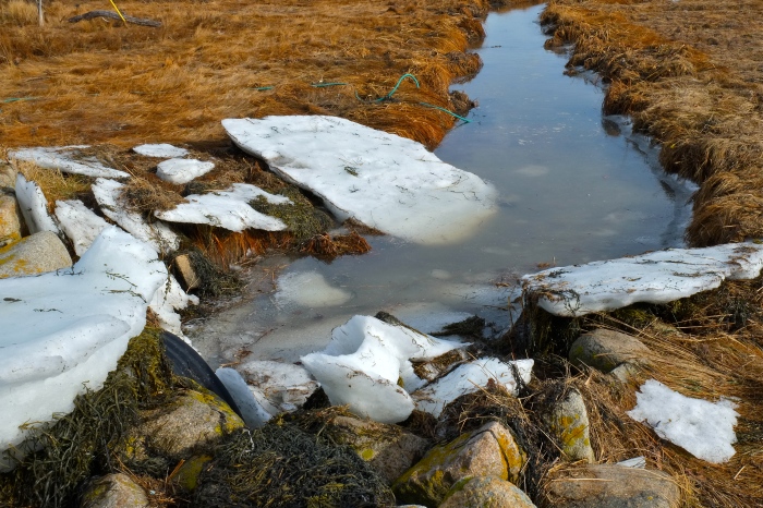
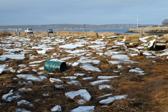
Popples strewn across the lawn and seaweed and debris clogged storm drains.

A photo journal after the storm documenting and comparing a few iconic and sweeping Gloucester vistas on January 7, 2018, when all was white ice frozen, and again after the Great Thaw on January 13 2018.
Gloucester Motif- the house boat in view just before the turn off at Nichols

The Little House boat in the great frozen salt marsh reminded me of a mash up of two of Virginia Lee Burton’s children’s picture books inspired by Gloucester — Little House and Katy and the Big Snow. Here’s the little floating houseboat after the thaw at low tide January 13, 2018.
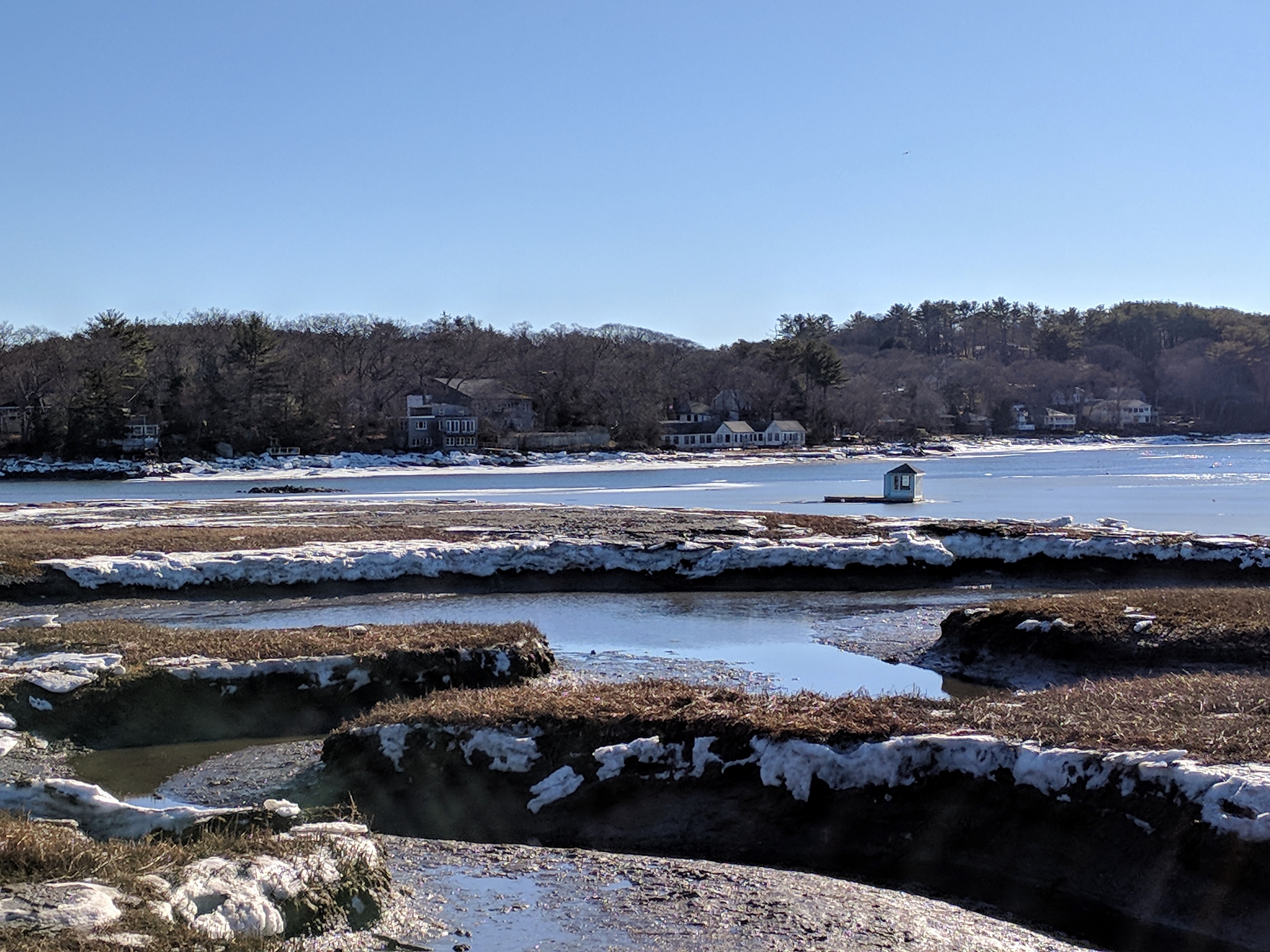
At high tide earlier in the day, January 13

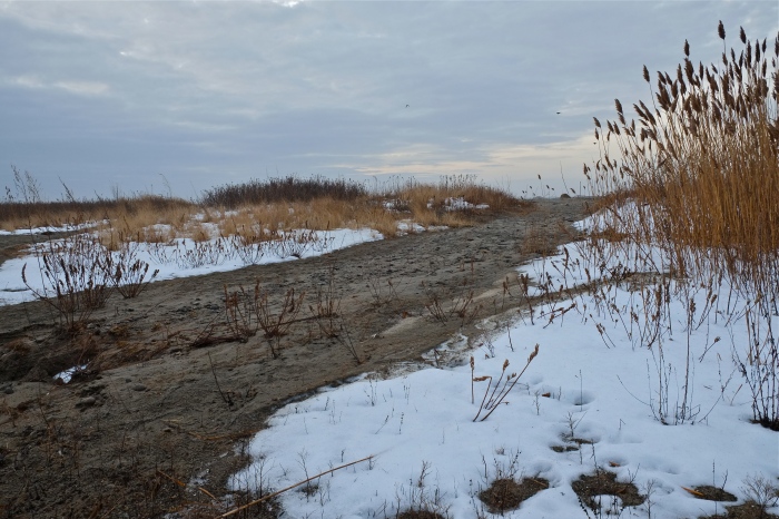
Good Harbor Beach drive by three days after the storm
Good Harbor Beach salt marsh drive by one week after the storm and great thaw
Below the read more break: additional winter comparison photos (icebergs on the marsh by Lobster Land, Good Harbor Beach parking lot, Good Harbor Beach salt marsh, Stoney Cove pier at Little River & Annisquam River)
Continue reading “Little houseboat in the great frozen salt marsh #Gloucester MA”

Bomb cyclone: If you thought snow in Gloucester, UK, was bad, think about Gloucester, Massachusetts. They’ve got floods AND snow by Ed Stilliard http://www.gloucestershirelive.co.uk
“…Homes evacuated and without power, motorists abandoning cars in the snow and temperatures well below freezing. That Armageddon-sounding tone might sound like Gloucestershire under snow last week, but that is just a snap-shot of life in Gloucester, Massachusetts, right now…”


Thinking of those dealing with no power, evacuation and such destructive, icy flooding.
January 5, 2018 vs Storm January 4, 2018

Rocks have clear icy layers and crunch pack, some pockets of drift


I’m following up on yesterday’s post, which was stopped midstream as we lost power. Scroll below for quick snaps and videos from my walk to Good Harbor Beach, Long Beach, and side streets.
About 2PM January 4, 2017 (high tide was several hours earlier)
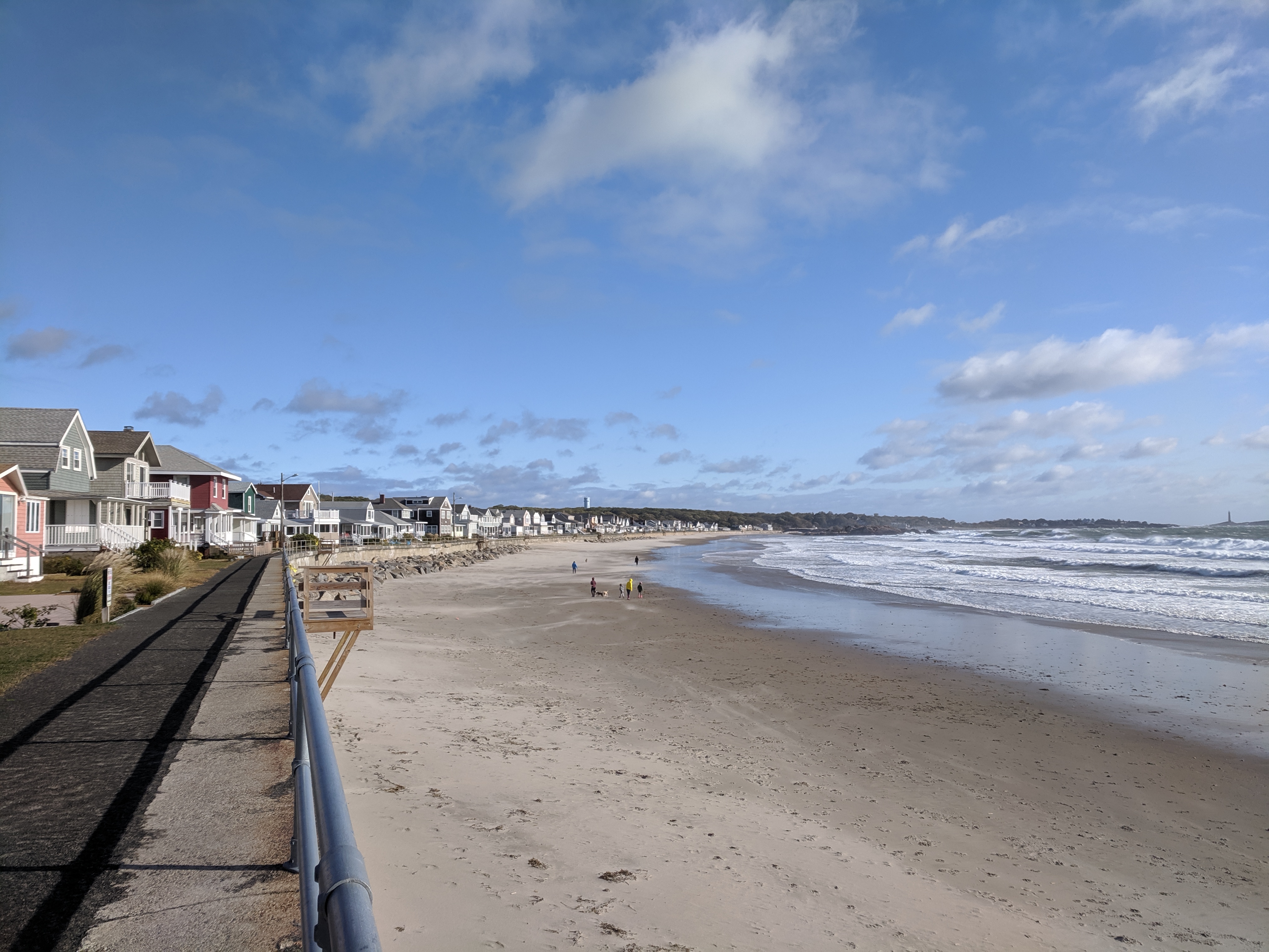
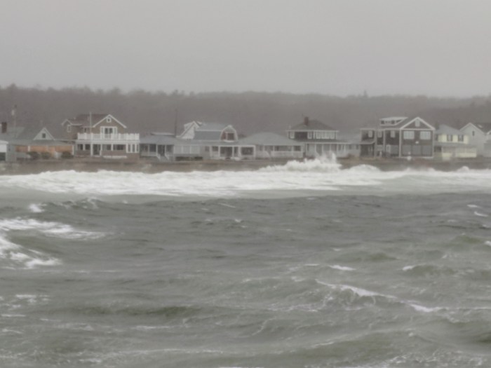
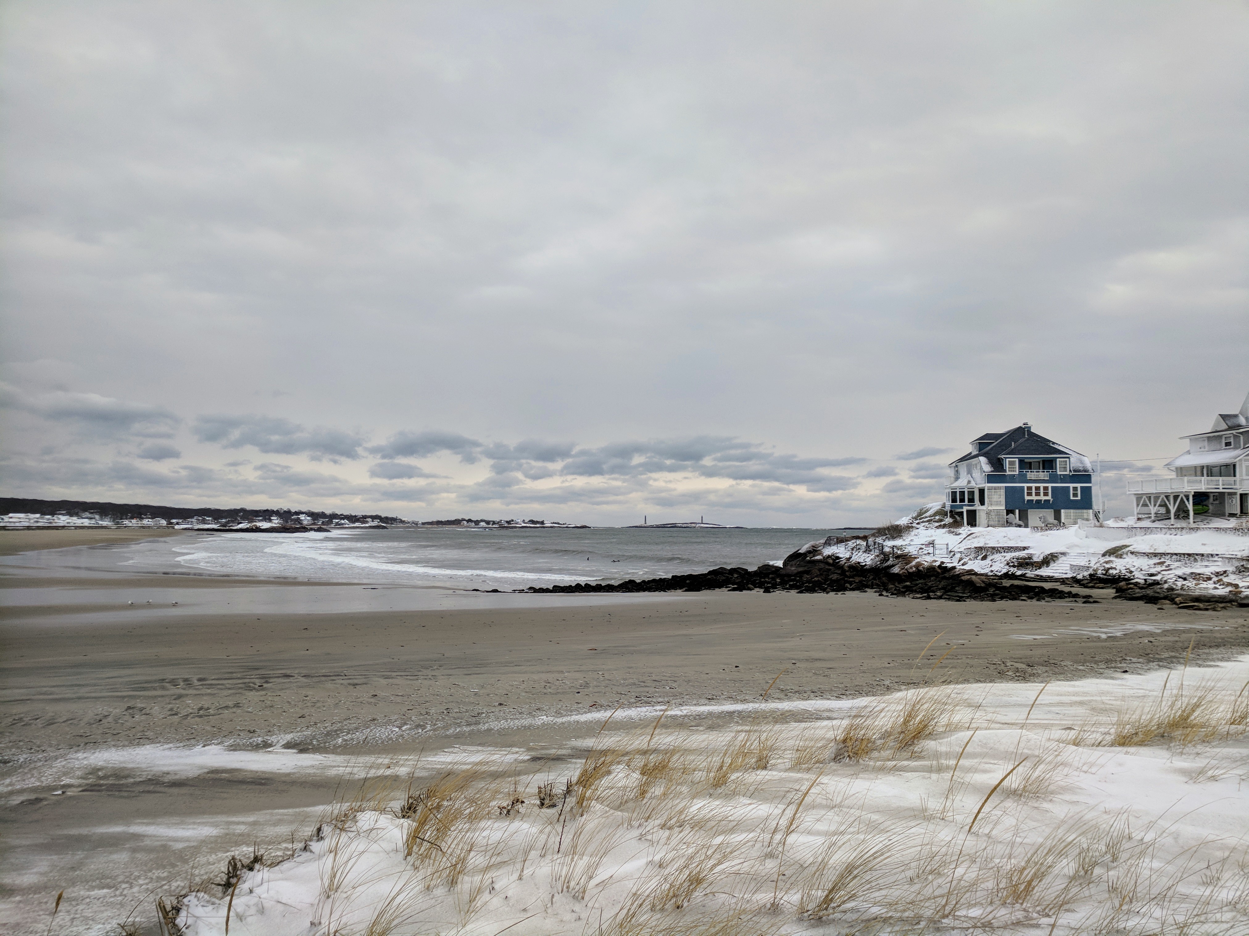
Good Harbor Beach on sand looking out to Salt Island (from Good Harbor Beach Inn side of beach) Yes, the waves were rolling over the wall up to the homes but infrequently at this time. I don’t know what it was like at high tide.
(more Good Harbor Beach and Long beach below the break)
Continue reading “STORM video and the morning after #GloucesterMA Good Harbor Beach and Long Beach”

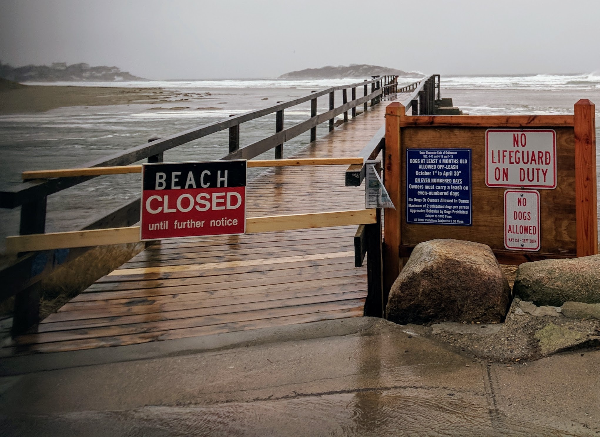
2:15PM slush pond roads and closed by Witham and Thacher and Good Harbor Beach parking lot. Power outages this way.


GOOD HARBOR BEACH
Ocean is up on the deck outside the Good Harbor Beach Inn snack bar, though not to the street


LONG BEACH
There go the staircases

**Video coming when power-wifi back**


![]() But cozy indoors, at least for the time being.
But cozy indoors, at least for the time being.
https://www.instagram.com/p/BdiJUUPlTfB/
https://www.instagram.com/p/Bdh-JRoFXAp/