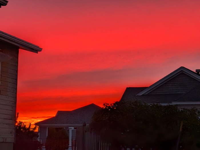
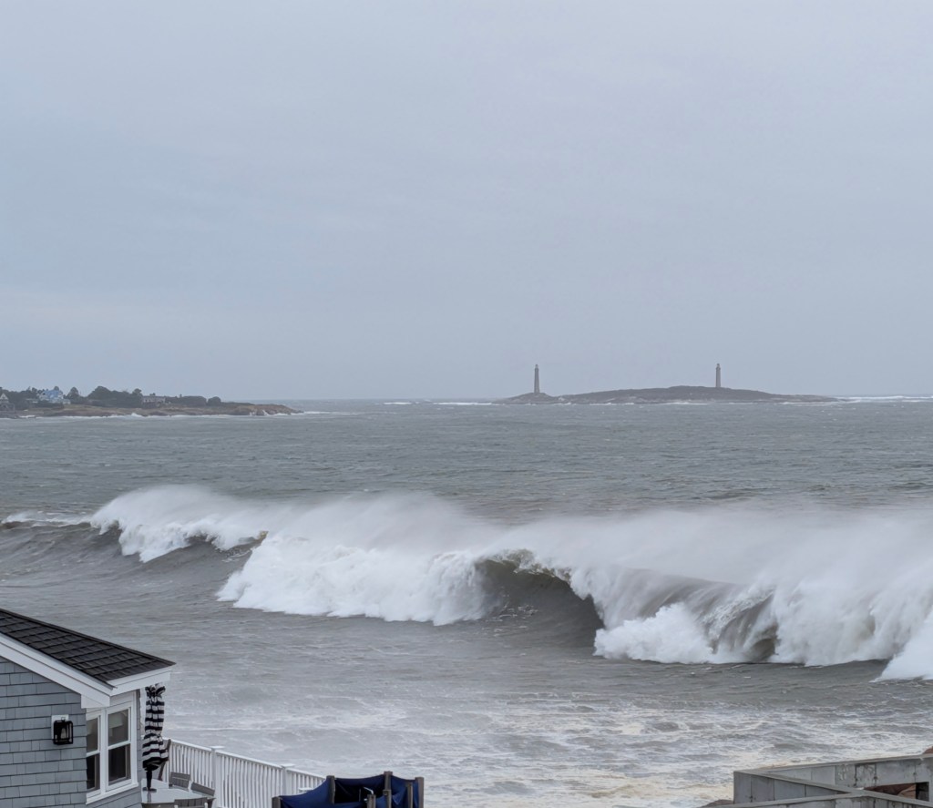
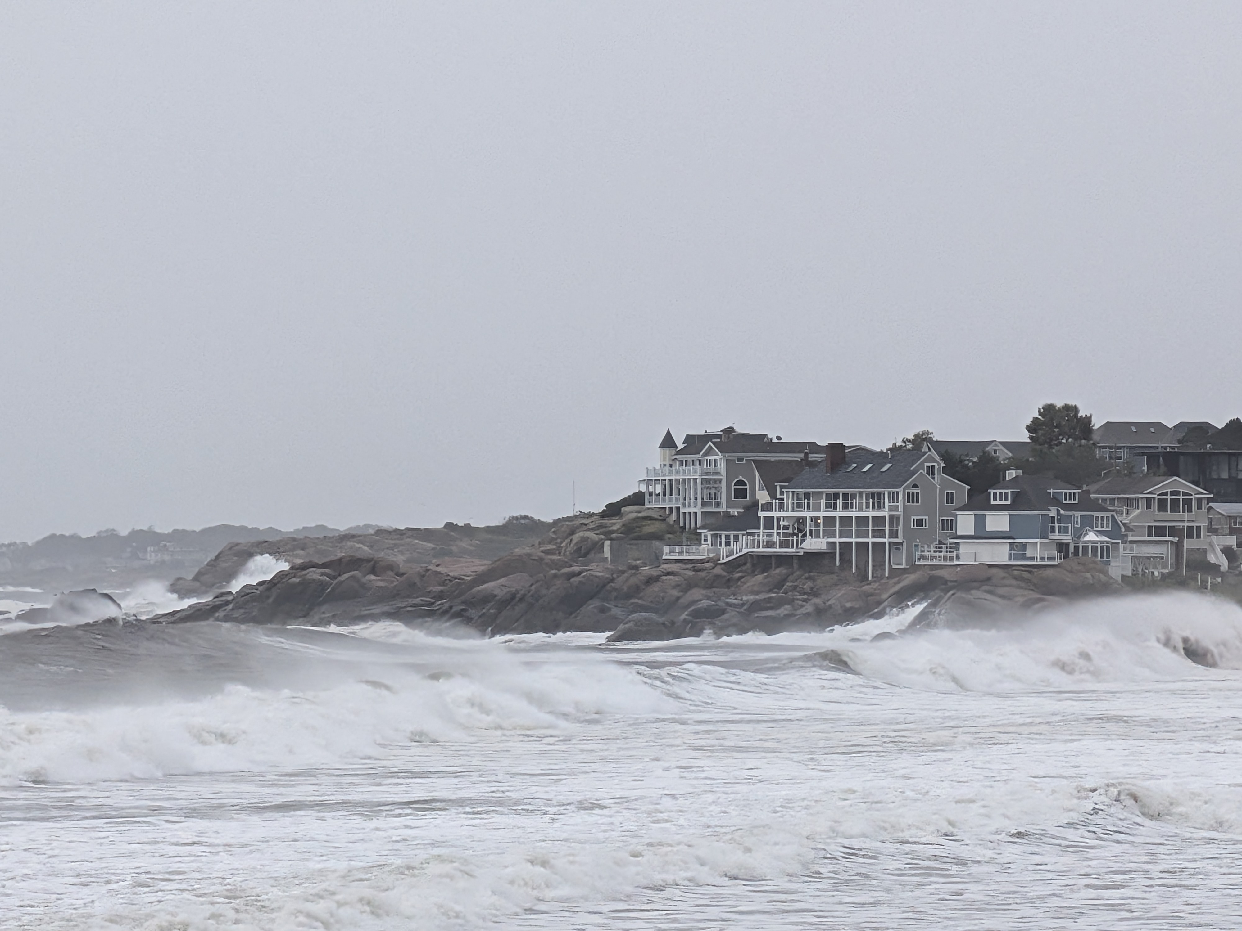
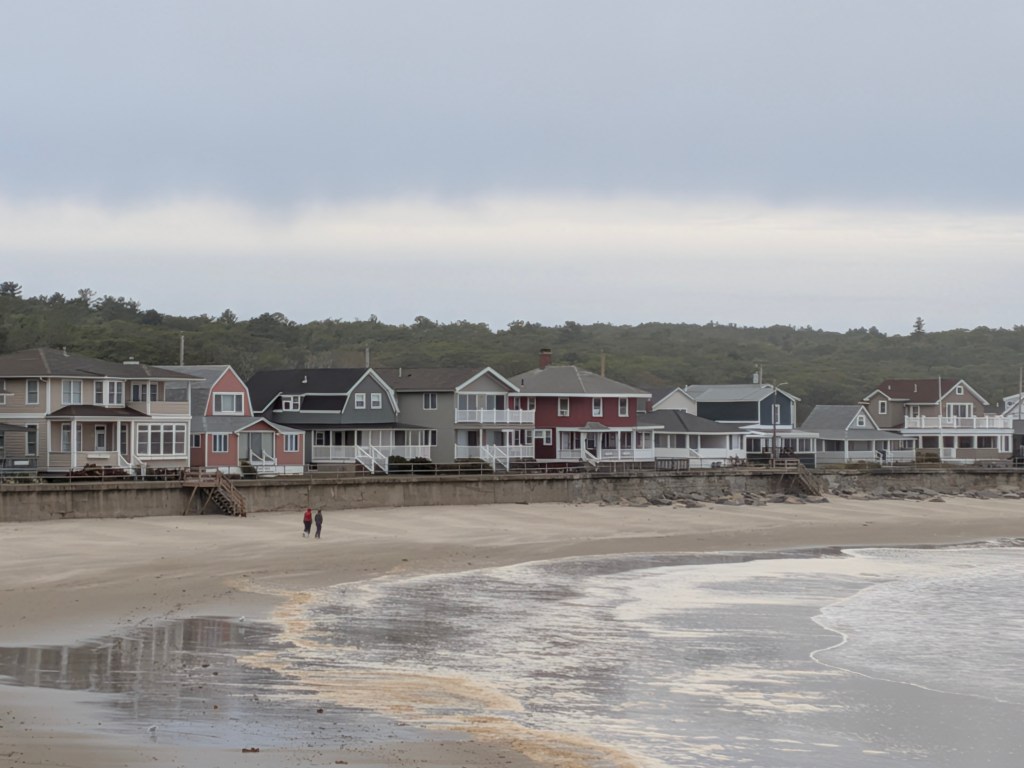
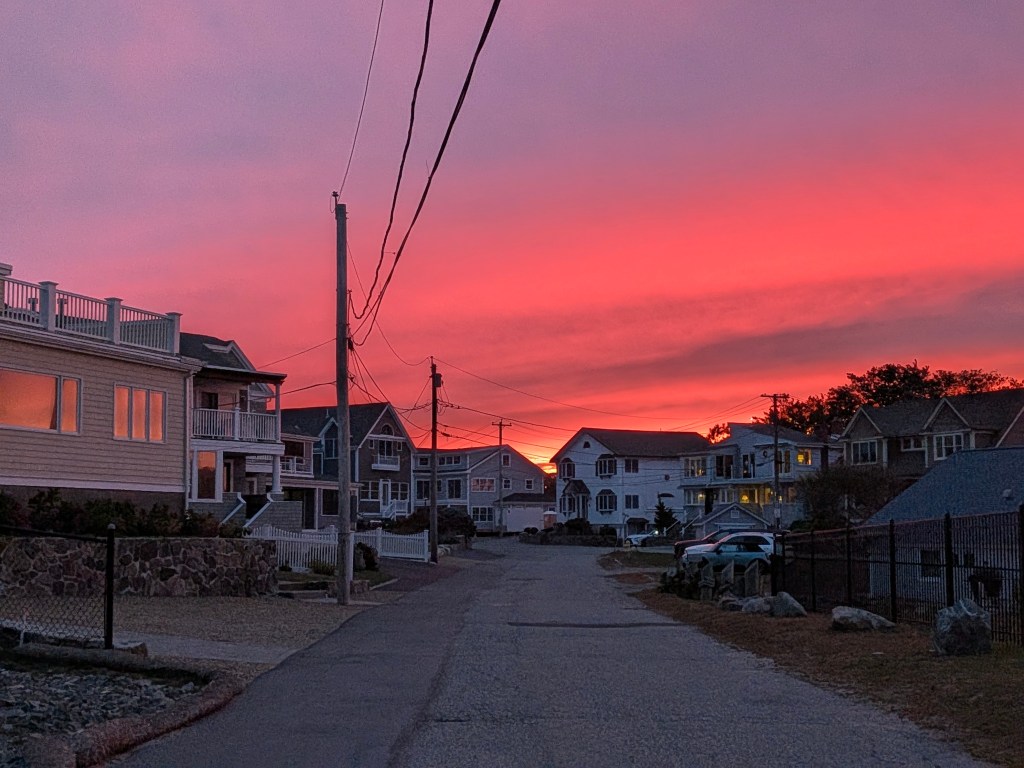
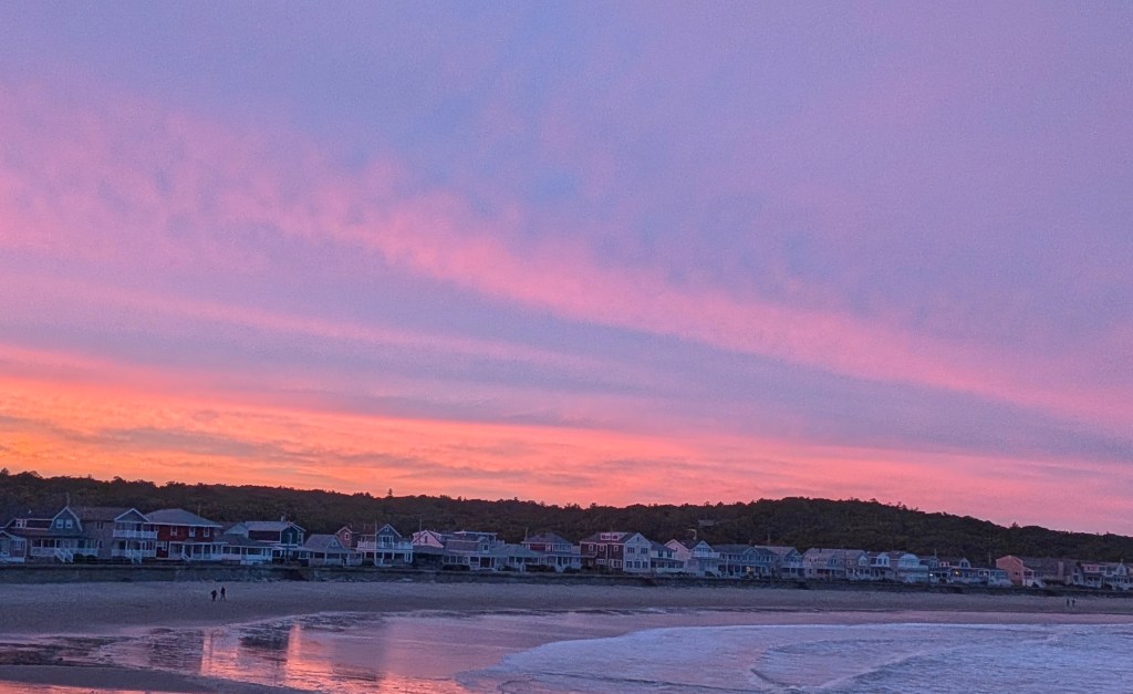
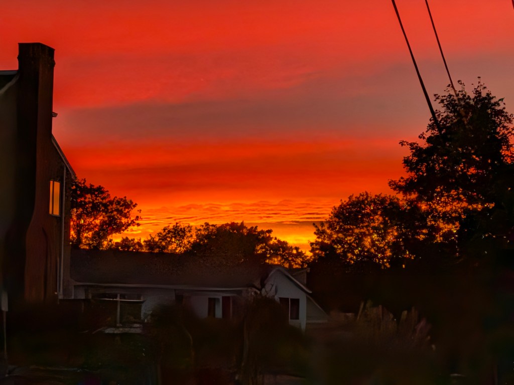
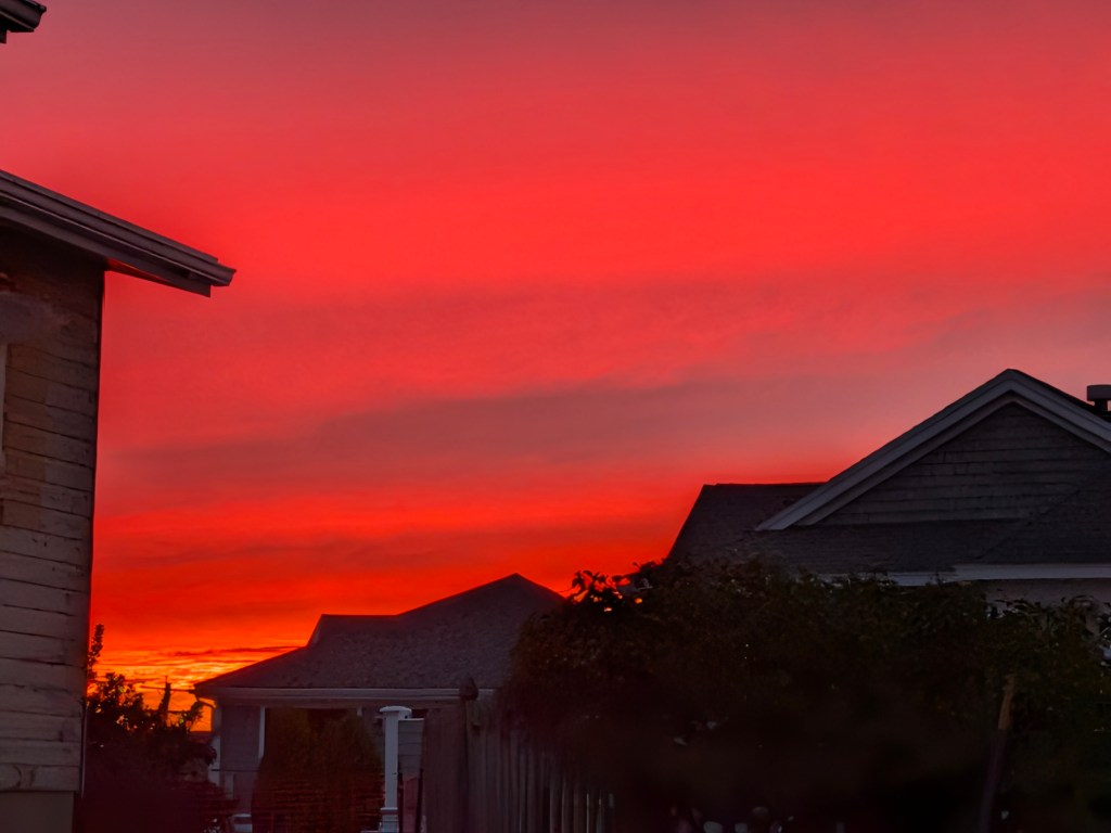
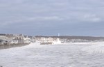
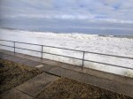
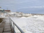
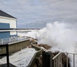
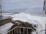
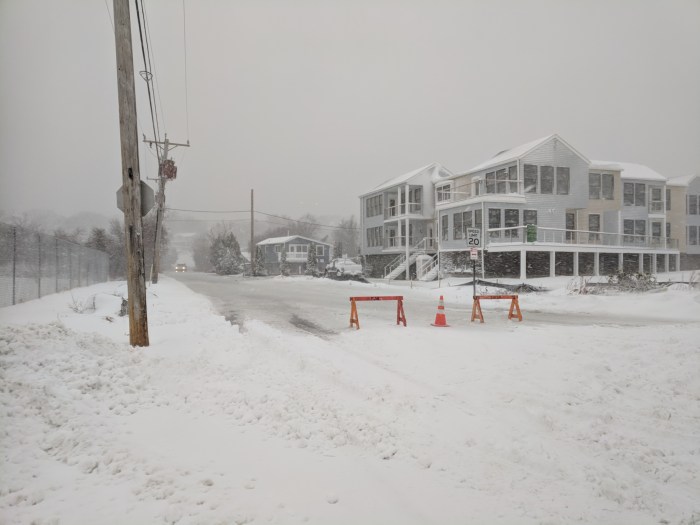
September storm photos 9/26/26. “It’s a LOT harder this way!” passing walkers oft repeated, heading from Glouc. to Rockport end of Long Beach. At 7:30 AM ribbons of wind whipped dry sand failed to pick up. Rain began 8:30. Next high tide about 11:30. Forecast estimates 5-8pm as greater impact.
Spread The GMG Love By Sharing With These Buttons:
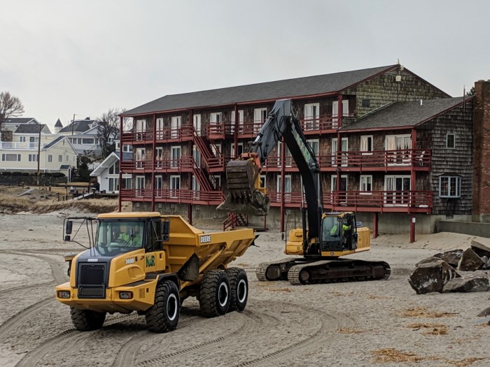
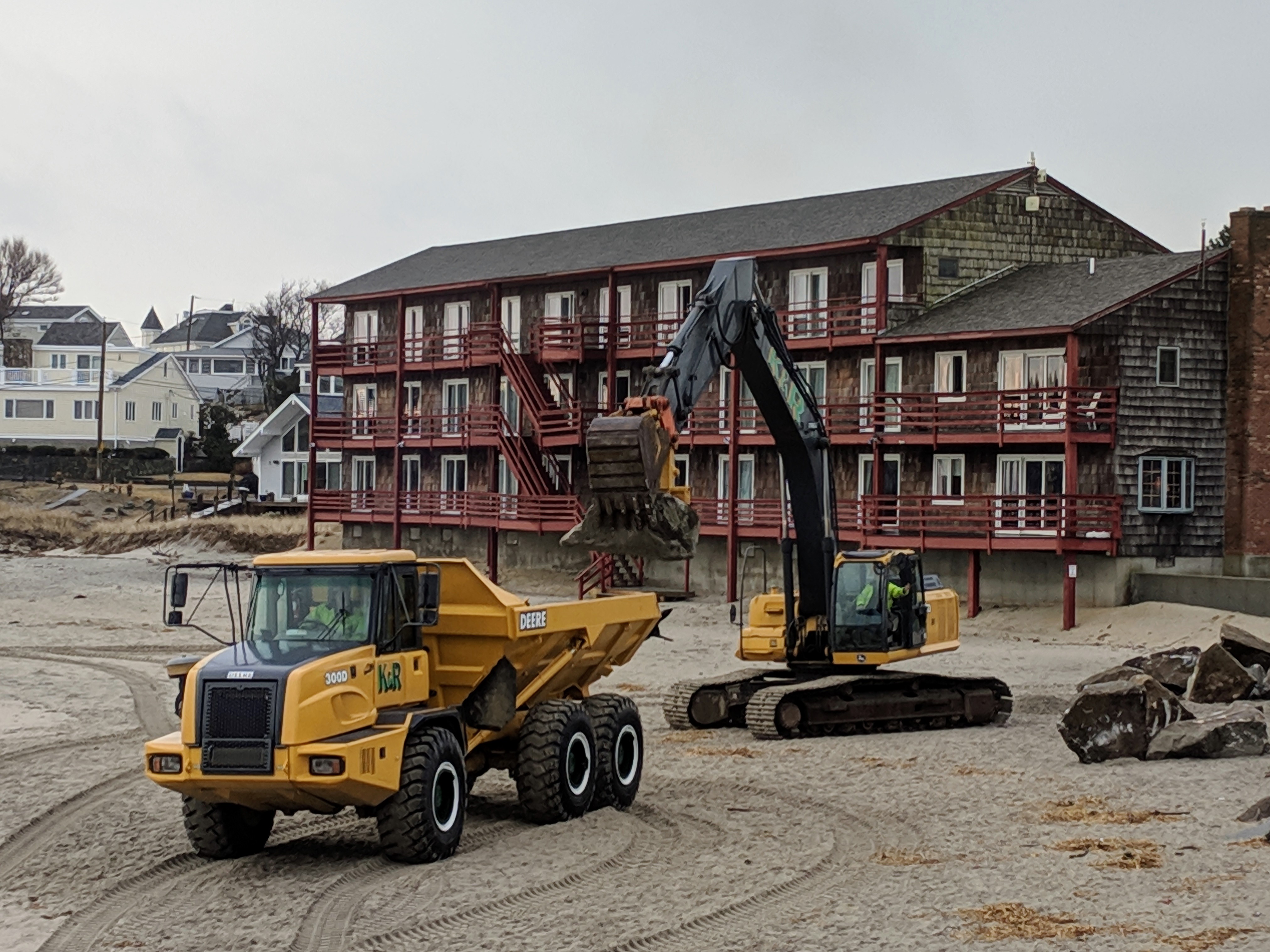
Dog walkers and surfers crossed paths with Kevin and Gary from K & R Construction and Rockport Department of Public Works (DPW) on site setting up a new phase for Long Beach seawall repairs. Two roughly 500 feet lengths of rip rap extending out 15-18 feet (tapered) will be built up beginning just past the first stairs near red cottage 20 Long Beach. Sand will be added later as part of this phase. A steel road plate path was set in at the Gloucester Mass staging entrance so equipment won’t get stuck. Last year smaller forklifts and dump trucks shuttled boulders for patch rip rap.
Slow and steady– truck is LOADED (and another sets up straight away)
Spread The GMG Love By Sharing With These Buttons:
Thinking of those dealing with no power, evacuation and such destructive, icy flooding.
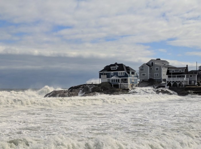
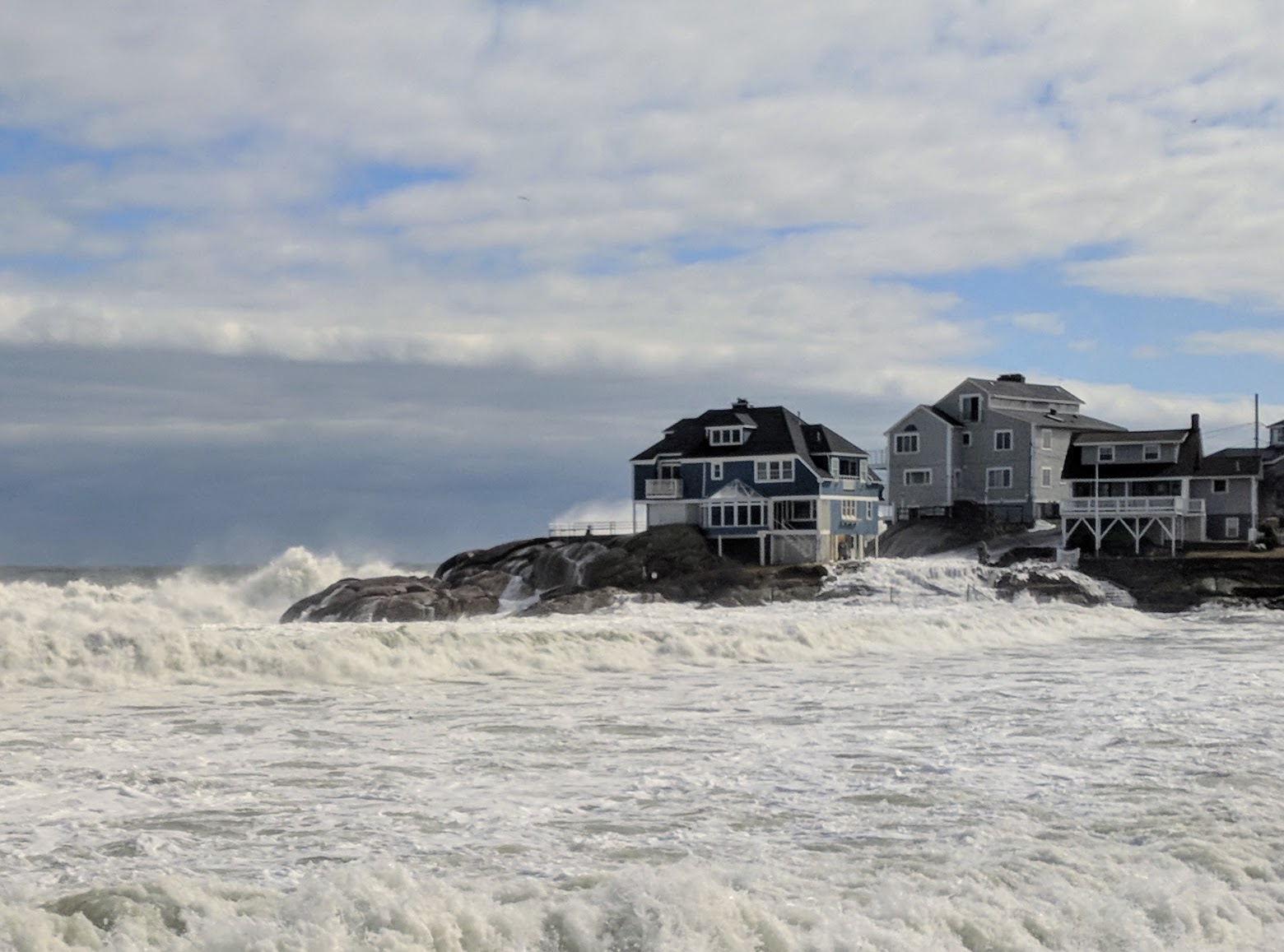
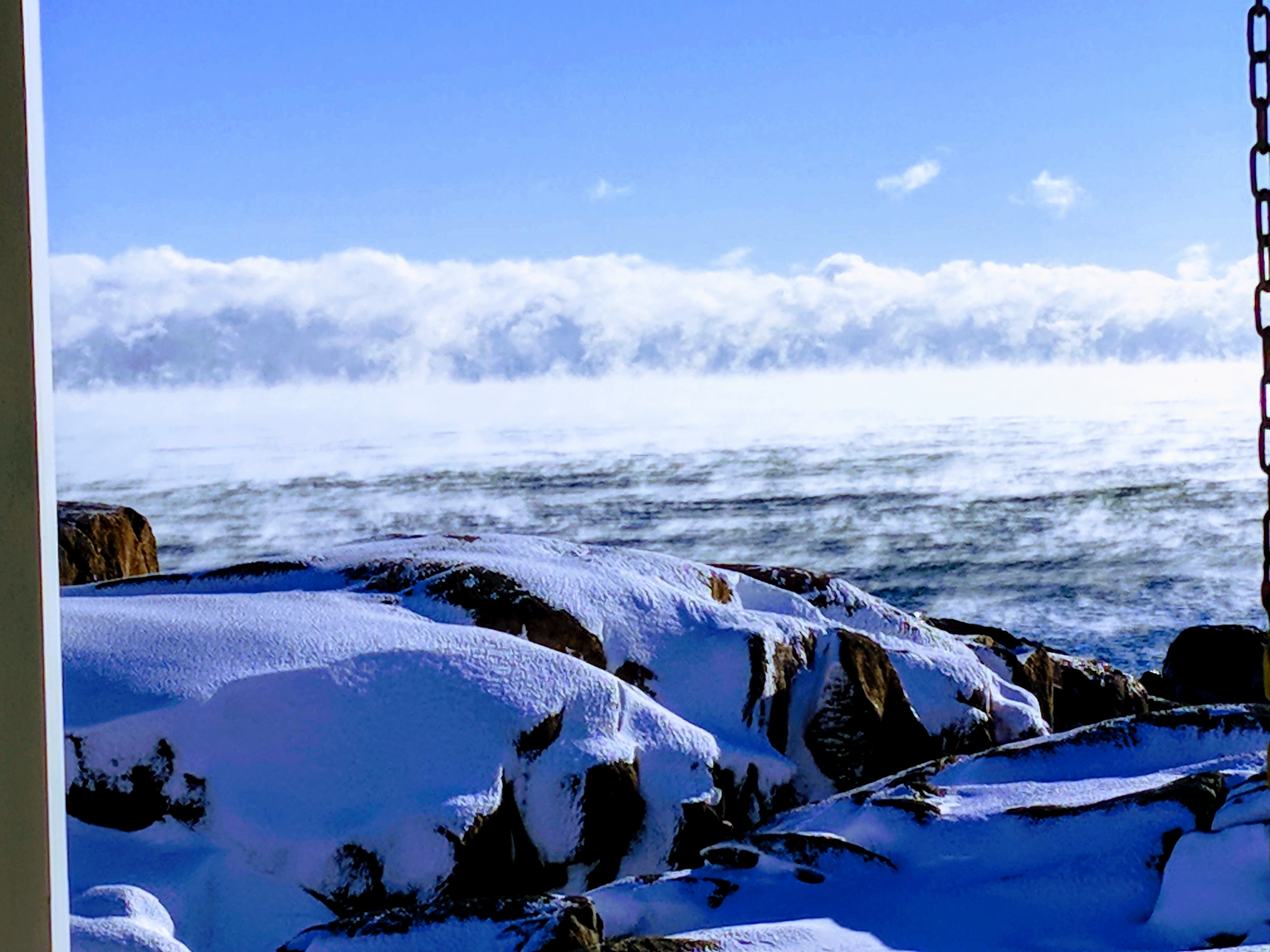
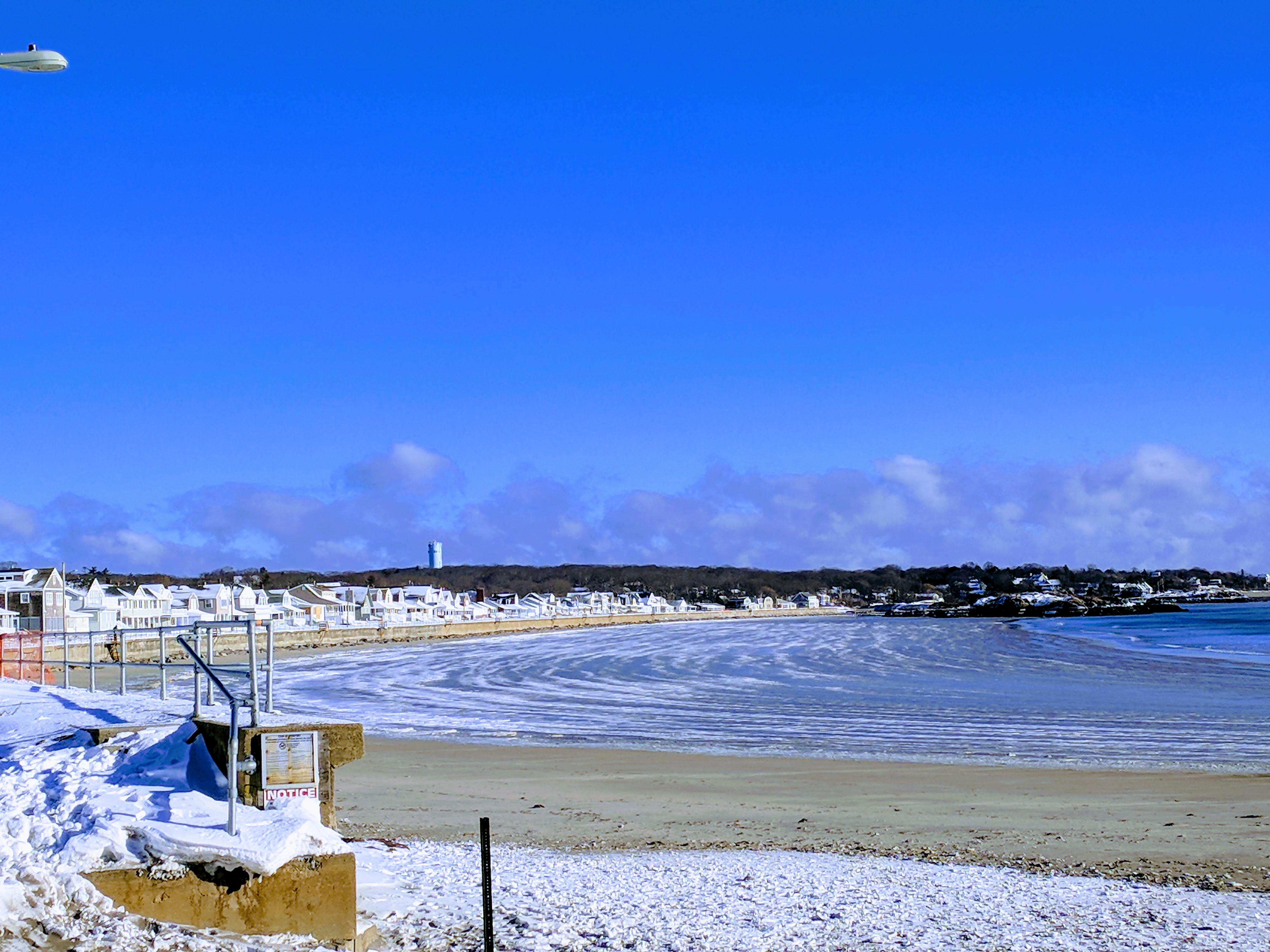
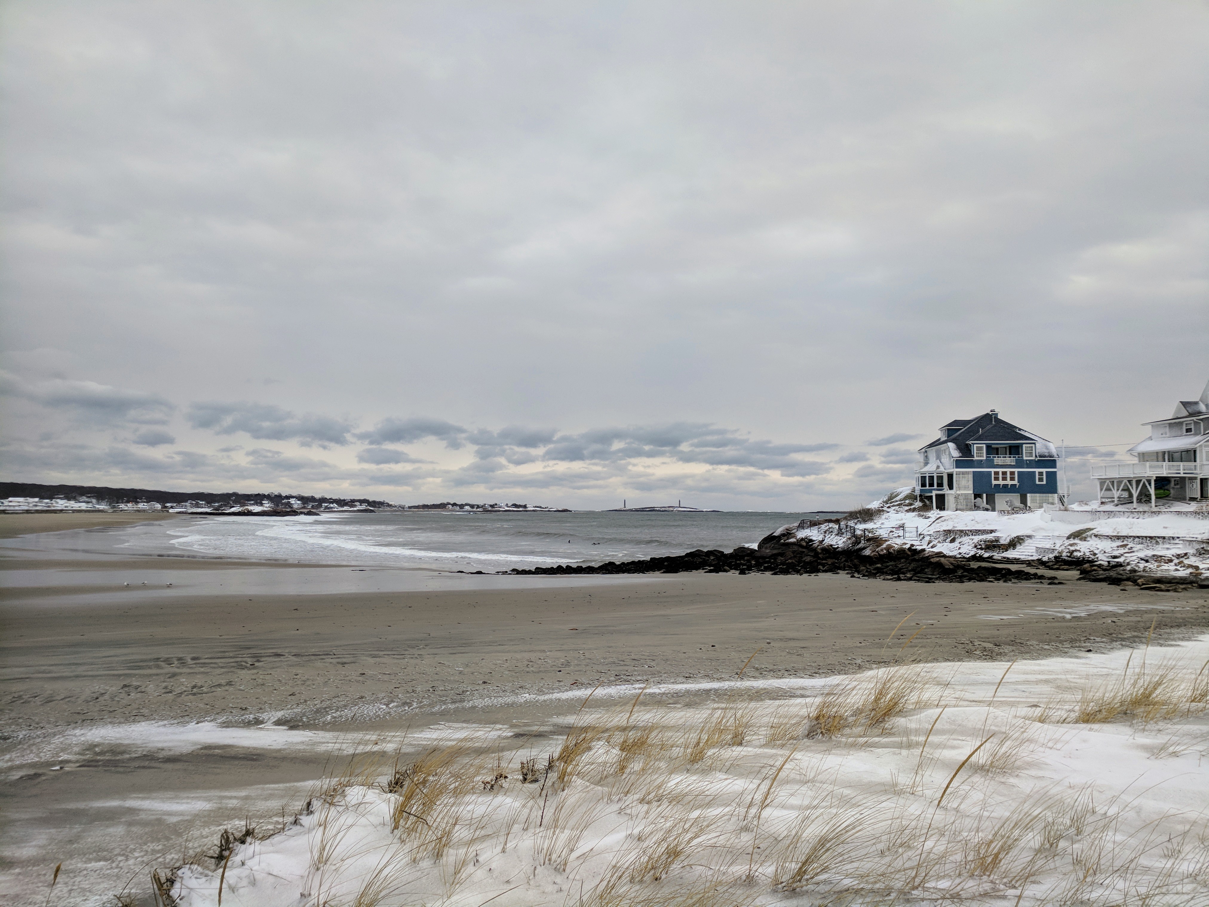
January 5, 2018 vs Storm January 4, 2018
Today here come the surfers
Rocks have clear icy layers and crunch pack, some pockets of drift
I’m following up on yesterday’s post, which was stopped midstream as we lost power. Scroll below for quick snaps and videos from my walk to Good Harbor Beach, Long Beach, and side streets.
GOOD HARBOR BEACH 1.4.18
About 2PM January 4, 2017 (high tide was several hours earlier)
Good Harbor Beach on sand looking out to Salt Island (from Good Harbor Beach Inn side of beach) Yes, the waves were rolling over the wall up to the homes but infrequently at this time. I don’t know what it was like at high tide.
(more Good Harbor Beach and Long beach below the break)