
My View of Life on the Dock

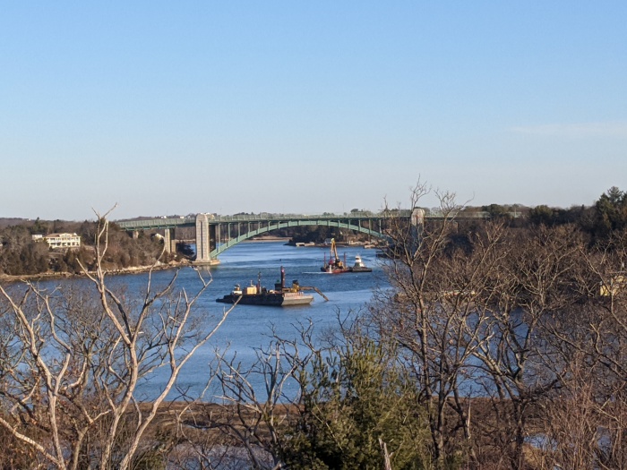
Here are some views across Annisquam River to A. Piatt Andrew bridge to show relative scale and position of the Annisquam River Dredging operation in February 2020. The Annisquam River dredging project began back in October 2019 and will continue into next year, however it’s not continuous. It’s overseen by the U.S. Army Corps of Engineers. The first dredging sections began in October 2019 (north of the 128 bridge, by Lobster Cove and Thurston Point), and will finish up next Friday (February 28, 2020), following two extensions. Dredging will resume sometime in the fall, likely October 2020. They’re moving in the direction of the Cut right now. The operations run 24 hours a day with two 12 hour shifts. There are lots of local hires manning the rigs. Cessation by Friday is definite. “There won’t be a third extension because of the flounder spawning season,” says Paul Vitale, captaining one of the push boats for Patriot Marine, a Coastline Consulting sub-contractor.
The equipment you might see before they begin disappearing by the end of this week are the following:
When the project is completed, the U.S. Army Corps of Engineers will remeasure and update charts. Buoys will be in new spots. But that’s still a long way off. Fun facts: the scooped sediment was sandier by Thurston Point and muddier at the bend where they’re situated now. There are sensors and computers linked up on barges and scows for monitoring the dump runs, and future research and tracking. The grants obtained for this massive dig were written long before the March trio of storms struck Good Harbor Beach and Long Beach.

")
")

")


Closeup views from the barges and vessels courtesy photos below:

")
")
")
Mayor Romeo Theken shared the City of Gloucester dredging announcement here November 8, 2019.
About the dredging:
The U.S. Army Corps of Engineers, New England District is proposing to perform maintenance dredging of the Annisquam River Federal navigation project (FNP) in Gloucester, Massachusetts. The city of Gloucester is the local sponsor and requested this dredging.
The proposed work involves maintenance dredging of portions of the 8-foot-deep Mean Lower Low Water (MLLW) channel and anchorage, plus authorized overdepth dredging in the Annisquam River FNP.
“Natural shoaling processes have reduced available depths to as little as 1.0 foot in portions of the 8-foot MLLW channel and anchorage making navigation hazardous or impossible at lower stages of the tide,” said Project Manager Erika Mark, of the Corps’ New England District, Programs/Project Management Division in Concord, Mass. “Maintenance dredging of approximately 140,000 cubic yards of sand and some gravel from approximately 20 acres of the authorized project area will restore the FNP to authorized dimensions.”
A private contractor, under contract to the government, will use a mechanical dredge and scows to remove the material and then transport it for placement at the Ipswich Bay Nearshore Disposal Site (IBNDS) and the Gloucester Historic Disposal Site (GHDS). Approximately 132,500 cubic yards of sandy material will be placed at the IBNDS and the remaining 7,500 cubic years of sand and gravel material will go to the GHDS. Construction is expected to take between 3-4 months between Oct. 1, 2019 and March 15, 2020.
Proposed work is being coordinated with: U.S. Environmental Protection Agency; U.S. Fish and Wildlife Service; National Marine Fisheries Service; Massachusetts Office of Coastal Zone Management; Massachusetts Department of Environmental Protection; Massachusetts Division of Marine Fisheries; Massachusetts Historical Commission; Massachusetts Board of Underwater Archaeological Resources; Mashpee Wampanoag Tribe; Wampanoag Tribe of Gay Head (Aquinnah); and city of Gloucester harbormaster. An Environmental Assessment is being prepared.
The public notice, with more detailed information, is available for review on the Corps website at http://www.nae.usace.army.mil/Missions/Navigation/Public-Notices/.

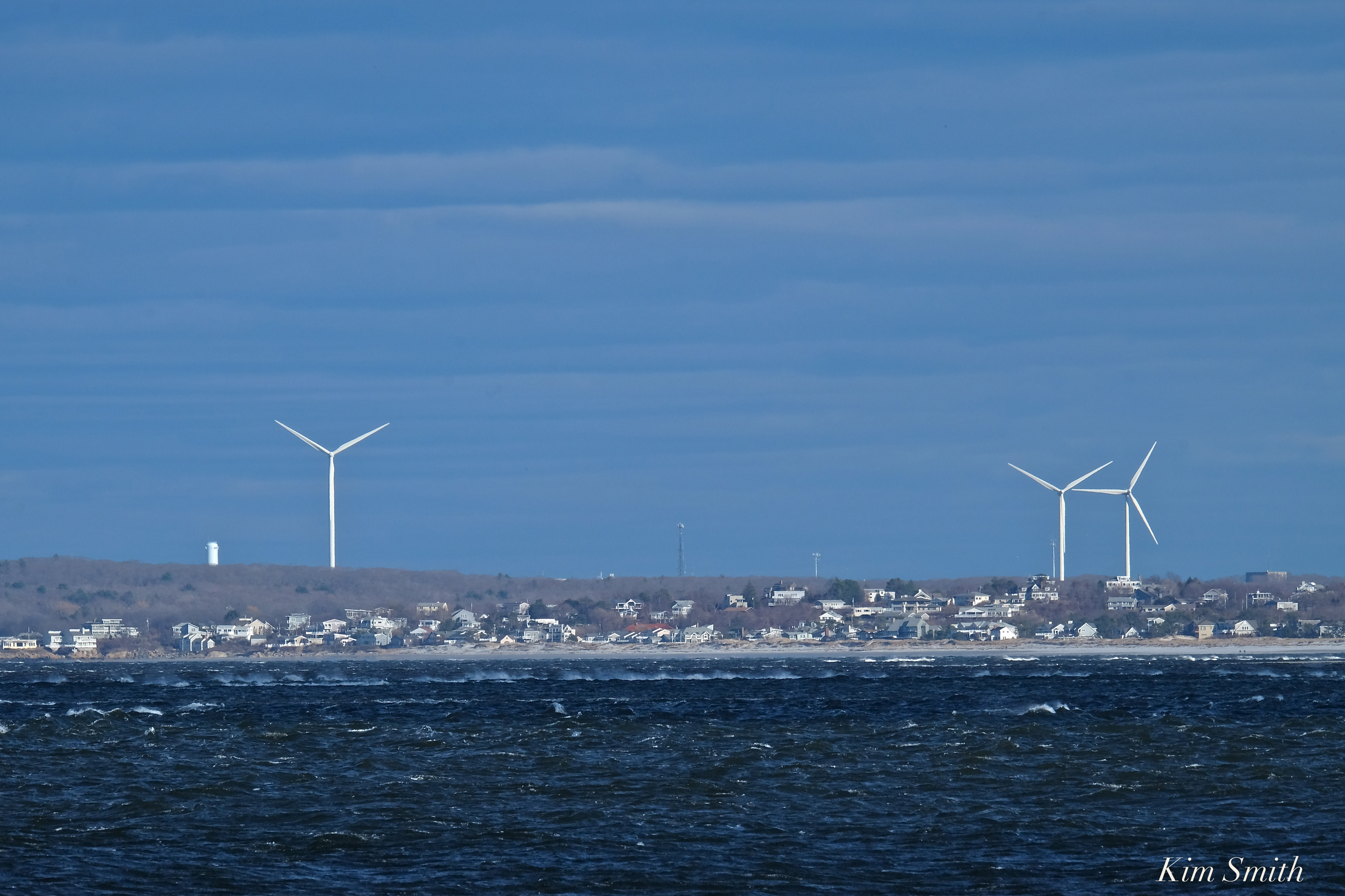
I think these are Gloucester’s wind turbines, looking across Ipswich Bay. The photo was taken at Sandy Point. Please write if you believe otherwise. Thank you!
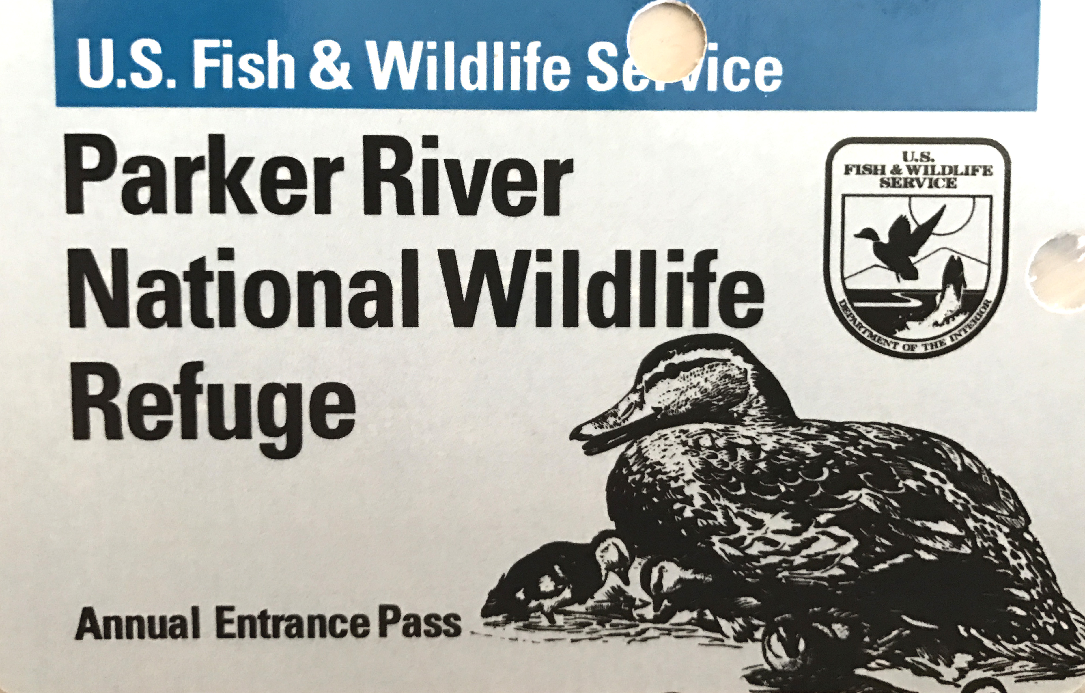
Super windy and chilly Saturday afternoon but nonetheless beautiful. I renewed our annual Parker River National Wildlife Refuge pass, which is good for one year, and think it is the best twenty dollars spent. Kudos for being the cutest pass, too!
https://www.instagram.com/p/BSpWN8CFncy/


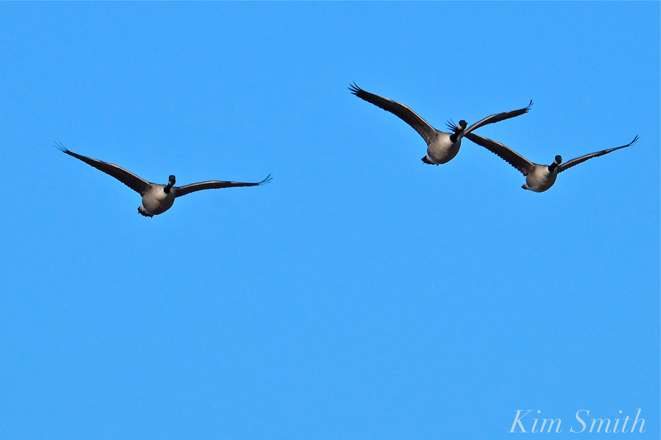 Plum Island Canada Geese

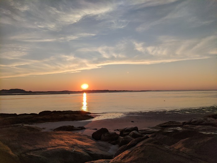
In a quagmire of trying to organize 95,000 photos and came across this glowing Annisquam scene. Happy summer days to come!
 Annisquam Lighthouse and Ipswich Bay
Click image to see larger version.

Thank you to Tony and Abbie for allowing me to come by and get some footage of the spunky little seahorse. This is the fourth seahorse Tony has found, the second this week. He finds them feeding on tiny crustaceans in his lobster bait traps. I think this is a female. If you look closely in the above Instagram and compare with the diagram below, she does not have the male’s brood pouch.
Lined Seahorses are not strong swimmers; they ambush their prey by camouflaging themselves, changing color to blend with their environment. They are found in shades ranging from deep brownish black to gray to green, red, and oranges. Lined Seahorses feed on small crustaceans, fish larvae, and plankton. Their mouths are without teeth and instead of biting, use a sucking action to draw in food. Because a seahorse has no stomach, it must eat constantly.
Seahorses live in habitats where there is an abundance of vegetation to hold onto, for example, eel grass and seaweed in southern New England. On temperate shorelines they may curl their tail around mangrove roots and corals. It seems logical that Tony’s bait traps make a convenient feeding station, providing both food and a place on which to latch. Although rare, sightings as far north as Nova Scotia have been reported. Cape Cod is the tippy end of the Lined Seahorse’s northern breeding range.
Fun fact about Lined Seahorses: Scientists report that the males dance for their mate every morning as a way to bond.
The Lined Seahorse population is in decline; their species status is listed as “vulnerable.” The reason for the decline is not only habitat destruction, but sadly and preventably, because they are a popular commodity in the trinket trade.
A reporter from NECN and NBC contacted Tony and the story may be airing on NECN. Let us know if you see the episode. Here’s a video Tony’s wife Abbie made, posted on GMG in 2010. The seahorse in this video was caught in December, in Ipswich Bay, in 40 degree waters.
Anatomy of a seahorse from Google image search

Always a pretty sight from the meadow looking towards Ipswich Bay. This is the view from where our daughter will be married in less than two months!
 Click panoramas to view larger.
The top photo was taken with the iPhone 6plus, the second photo with my Fuji XE-1 at 50mm.
Reminder ~ Please join me tomorrow evening, April 29th, at 7pm at the Hamilton Wenham Public Library where I will be giving my Pollinator Garden program and screening several short films. This event is free and open to the public. I hope to see you there!

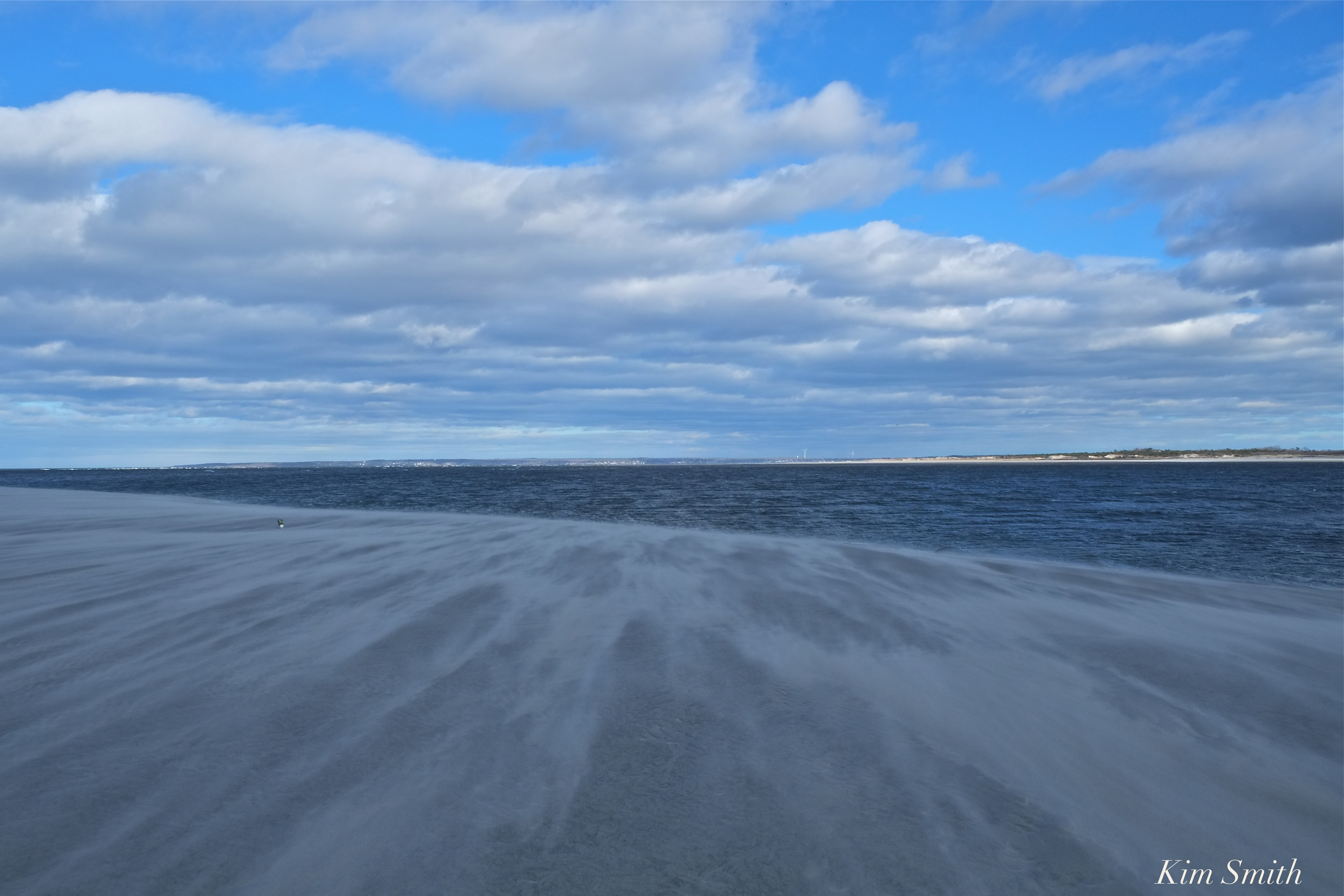
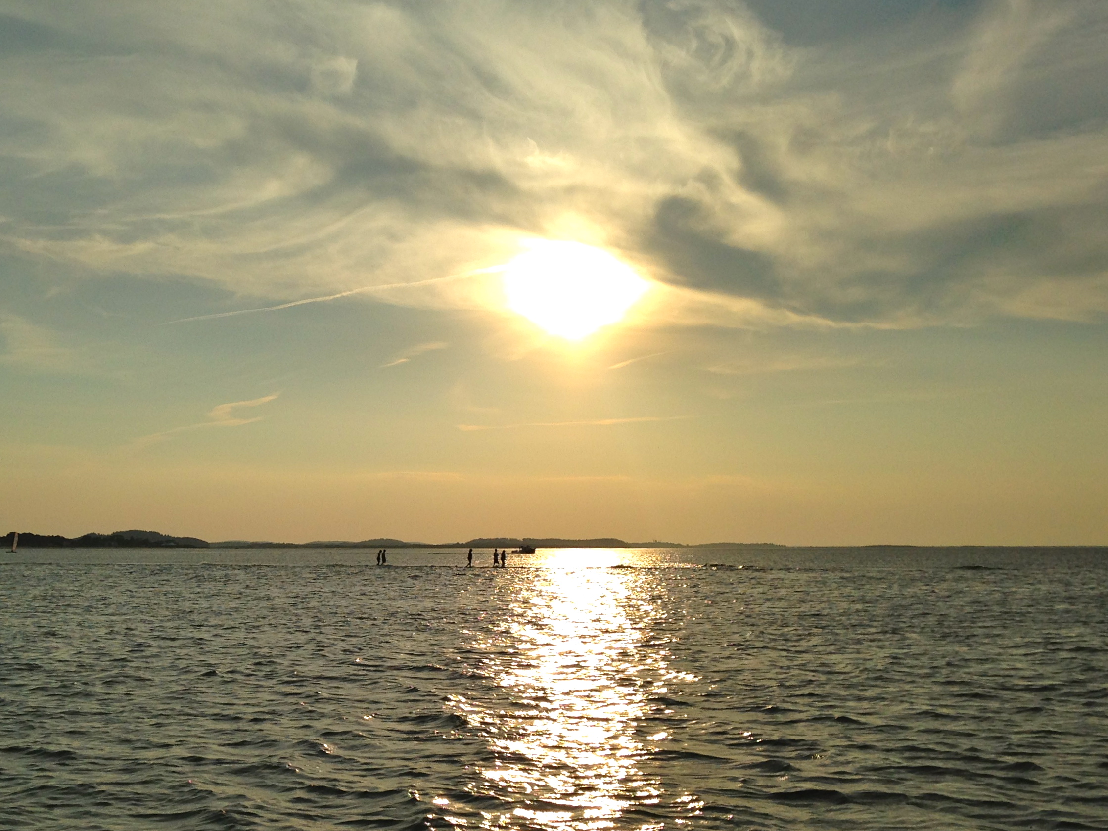
The Ipswich Bay view tonight. (click the photo for larger image)
The iPhone camera can’t even recreate the amazing colors that happened!
What a color change in 2 minutes! I bet you’ll see a few shots of this here on GMG.

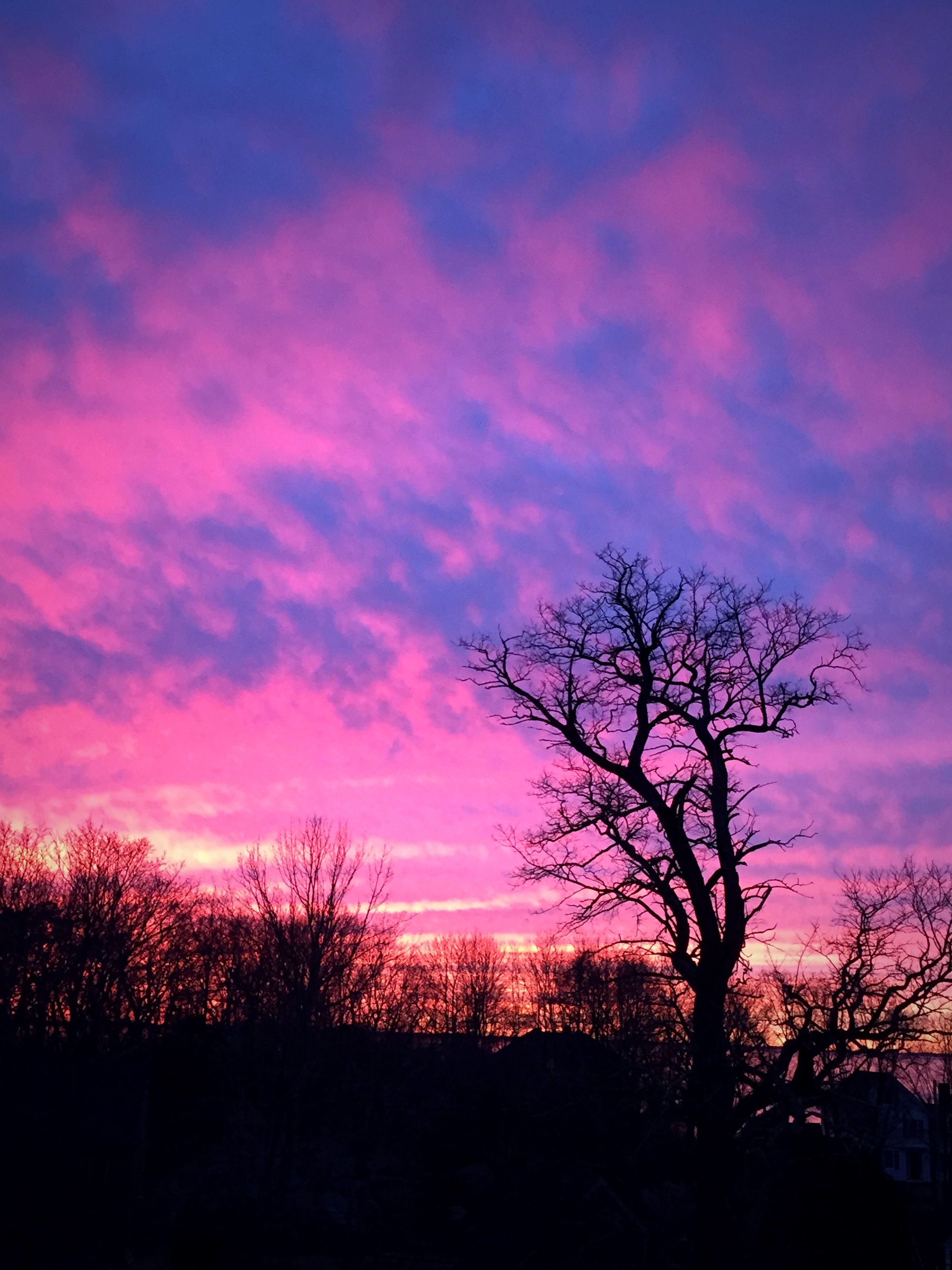
Or at least that is what I saw in the clouds Sunday evening while exiting the Annisquam River to head home to Rockport.


Mary Page Submits-
Hi Joey Love GMG thanks for your good work
This morning green buoy 29 was pulled by the coast guard for cleaning. Photo taken from Rust Island. Mary Page

Gail and Mary signing the second turbine arm Saturday.


 Lighthouse Beach and Ipswich Bay Panorama ~ Click to view full panorama
Last night we had a beautiful dinner at the home of one of our dearest friends, the Gale Family. Mom Kristina and daughter Sarah prepared a gorgeous dinner of salmon poached with a medley of vegetables, in parchment paper. I was too busy having fun and socializing and wish I had taken a photo of the salmon. We had sunset dessert on their west-facing porch, with its amazing views of Lighthouse Beach and Ipswich Bay.
 Ben called it a Mackerel Sky
 Living the Good Life!
Click to see larger image.

