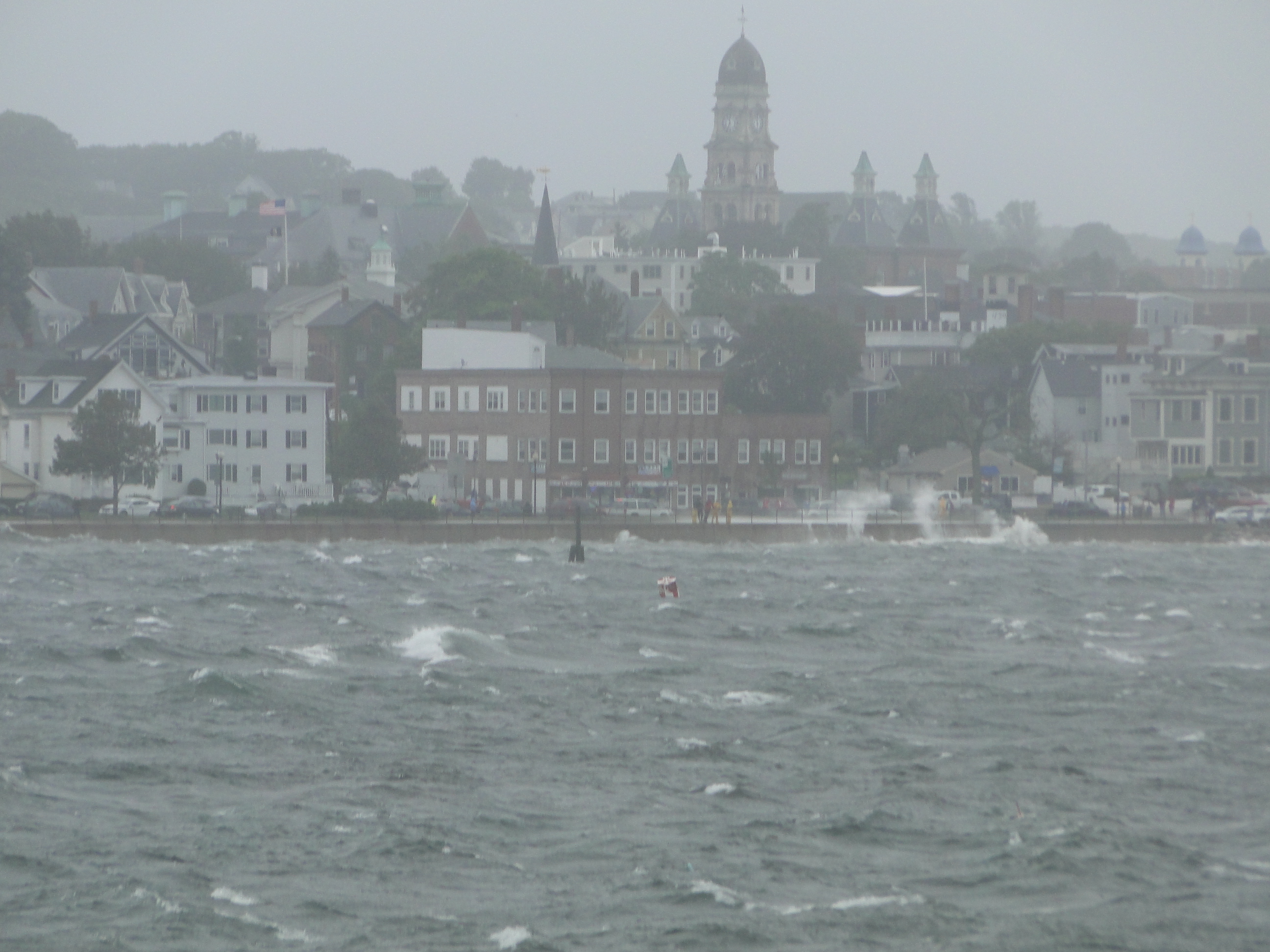
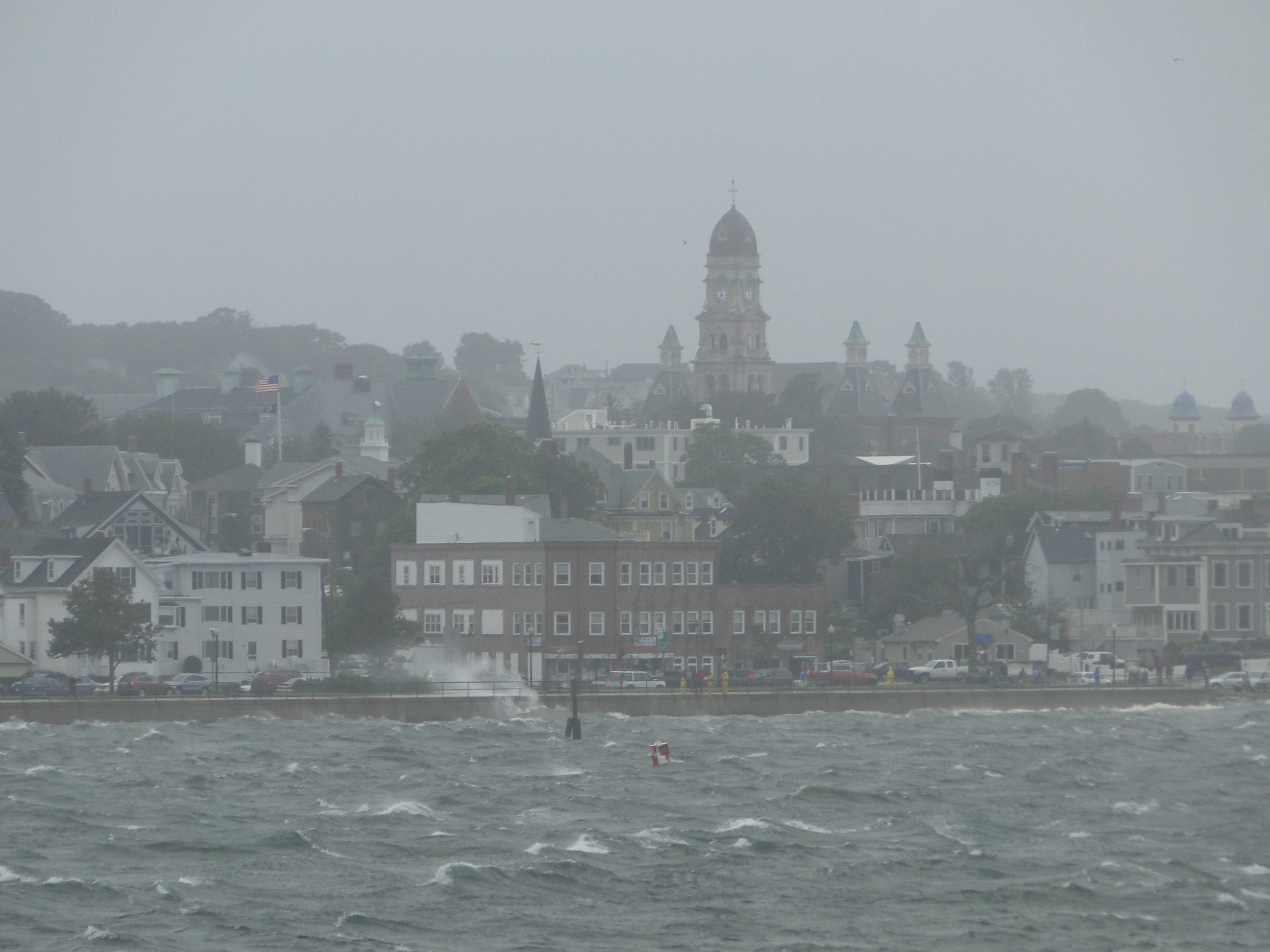
The National Weather Service now has a high degree of confidence that New England will experience significant impacts from Hurricane Sandy regardless of the location of the landfall. With landfall south of New England, Massachusetts is still likely to sustain significant impacts from this storm including damaging winds, associated power outages, and freshwater and coastal flooding.
The City of Gloucester is providing the following information for residents and businesses in order to ensure that steps are taken to be as prepared as possible in the event the storm has a serious impact on our community.
As the storm gets closer and more information is available a Public Information Officer will be available and a telephone number for residents and the media to call will be issued. The announcement of the Public Information Officer will coincide with the opening of the Emergency Operations Center. More information will follow as it becomes available.
HURRICANE PREPAREDNESS TIPS
The Gloucester Community Emergency Response Team (CERT) would like to share the following hurricane preparation tips for residents of Gloucester. In addition, the checklist below outlines what you may need, should Gloucester be hit with damaging winds and power outages.
· Stay informed by monitoring the storm via the media.
· Be sure to have a well-stocked Family Disaster Kit* in the event you lose power or are isolated for a number of days.
· Clear clogged rain gutters. This storm brings the potential for torrential rain. Providing clear drainage will help prevent misdirected flooding.
· Secure outdoor items such as lawn furniture, trash barrels, hanging plants, toys and awnings that can be broken or picked up by strong winds and potentially become a projectile.
· Elevate articles in your basement that could be damaged from even minor flooding.
· Keep your vehicles fully fuelled.
· Have a certain amount of cash available. If power is lost, ATMs may not be working.
*FAMILY DISASTER KIT CHECKLIST
Following is a list of suggested essentials for what you will need to create your own home disaster kit. You might be surprised to see that most of the items are things you already have. Even if you have everything on this list, now is the best time to organize everything so it is all together when you need it. Medications change, babies arrive, new pets join the family and people move. Check and update your water, food, batteries, medications and contact phone numbers at least once a year.
ü Cell Phone, charger (there are also emergency crank or battery powered cell phone chargers) and headset so you can talk hands free.
ü Bottled water (1 gallon per person per day for drinking, plus an additional gallon for teeth brushing, bathing, cooking, etc.).
ü Battery-powered radio with extra batteries.
ü Flashlight and batteries.
ü Keep your vehicle fueled up. Get in the habit of not letting your gas tank get below half full. In an emergency, when it may be difficult or impossible to get fuel, you will be very thankful you have it.
ü Dry and canned foods and can opener (make sure the canned and packaged foods don’t have too much salt – they will make you more thirsty and with limited water around, that isn’t the best thing).
ü Disposable eating utensils, dinnerware and cooking tools.
ü Baby needs, including diapers, wipes and food.
ü Pet needs, food, water, collar and leash.
ü Medical supplies, including prescription medications, eyeglasses, contacts, etc.
ü Toilet paper, paper towels, hand sanitizer and feminine needs.
ü Trash bags.
ü Soap and toiletries.
ü Scissors and tweezers.
ü Utility knife.
ü Crow bar.
ü First Aid Kit including:
Ø first aid instruction guide
Ø bandages of various sizes and types
Ø elastic wrap
Ø adhesive tape
Ø finger splints
Ø eye pads
Ø sterile dressings
Ø gauze roll
Ø examination gloves
Ø instant cold pack
Ø burn cream
Ø antibacterial ointment
Ø alcohol prep pads
Ø hydrogen peroxide spray
ü Comfortable thick soled shoes and socks.
ü Whistle.
ü Waterproof matches and emergency candles (do not use if you smell gas or hear a hissing sound).
ü Duct tape.
ü Rope.
ü Emergency blanket.
ü Work gloves.
ü Small towel or clean rag.
ü Bandana or dust mask.
ü Change of clothes.
ü Cap or visor.
ü Pen and paper.
ü Emergency contact numbers.
ü Emergency gas shut off tool.
ü Fire extinguisher.
ü Road map.
ü Important personal documents.
ü Comfort items – especially for children (stuffed animal, toy, cards, etc.)
ü Backpack to store important items so you can grab and go.
Securing Your Home from Hurricane Sandy
Knowing what weather forces your home is vulnerable to is the key to reducing any damage that might occur from Hurricane Sandy. You should know if your home can be damaged by wind, water surge and/or flooding.
There are various ways to secure your home from the weather scenarios that Hurricane Sandy might produce. You should make sure the exterior of your home is as strong as possible by securing doors, garage doors, roof, shutters and windows. For more information on securing your home from high winds, visit:
http://www.nhc.noaa.gov/HAW2/english/retrofit/secure_home.shtml
Do not attempt to move downed limbs until you are sure that there are no electric wires involved and that the cutting the limb will not result in it suddenly moving and possibly causing injury.
Should Cape Ann suffer substantial storm damage, you should be prepared to “shelter in place” for as long as 72 hours. If this is the case, please check on neighbors who may need assistance.
Stay informed of the latest forecast – the National Hurricane Center continues to be the official source for storm forecasts and updates, which you can find at http://www.hurricanes.gov or on your phone at http://hurricanes.gov/mobile.
If the storm approaches your community, your local National Weather Service forecast office is the best place to find any severe weather watches/warnings for your area (www.weather.gov or on your phone at http://mobile.weather.gov).
More information can be found at
www.ready.gov
Spread The GMG Love By Sharing With These Buttons: