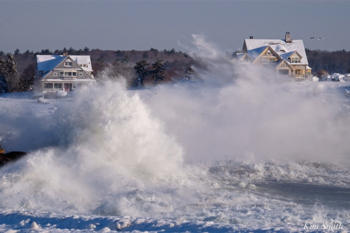
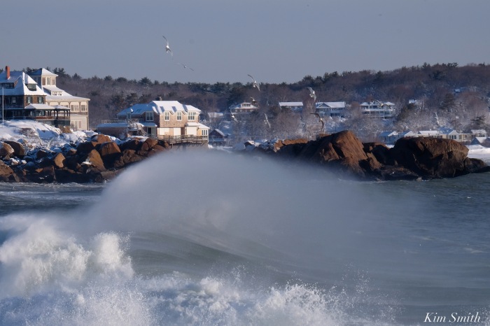
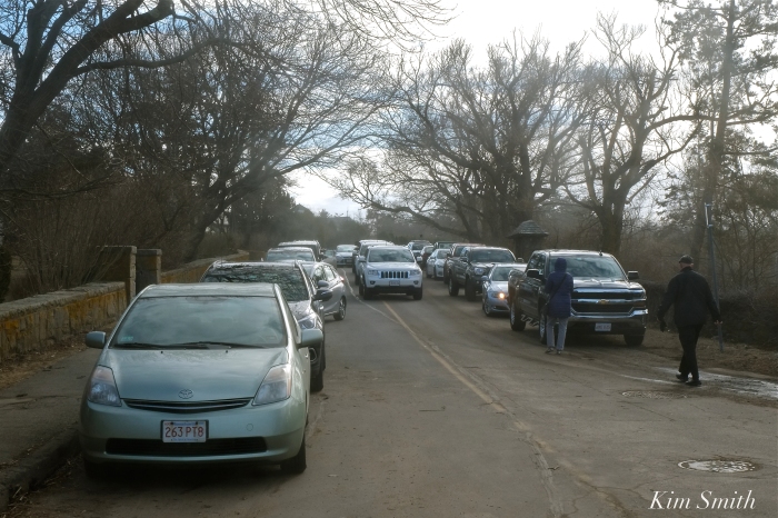
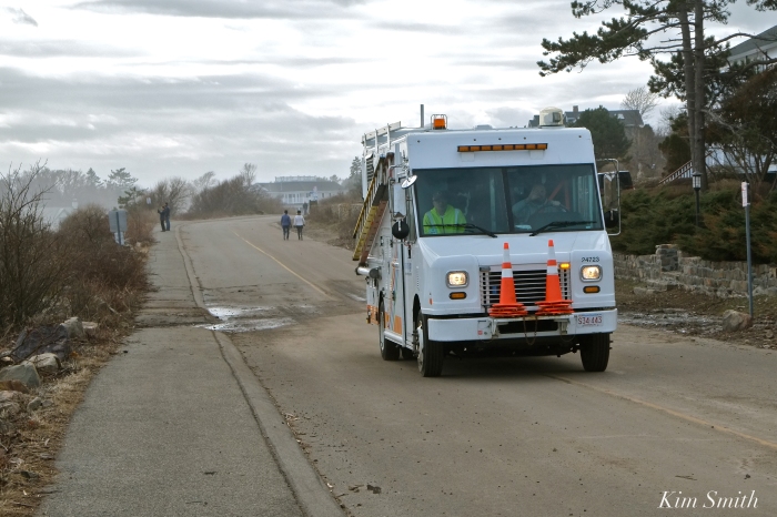
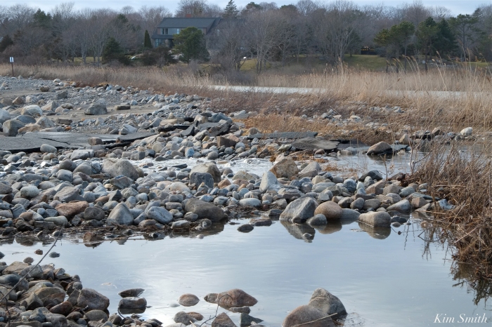
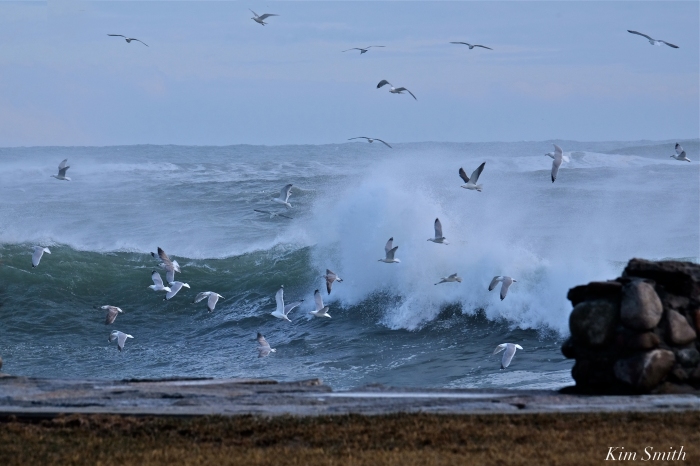
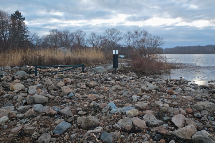
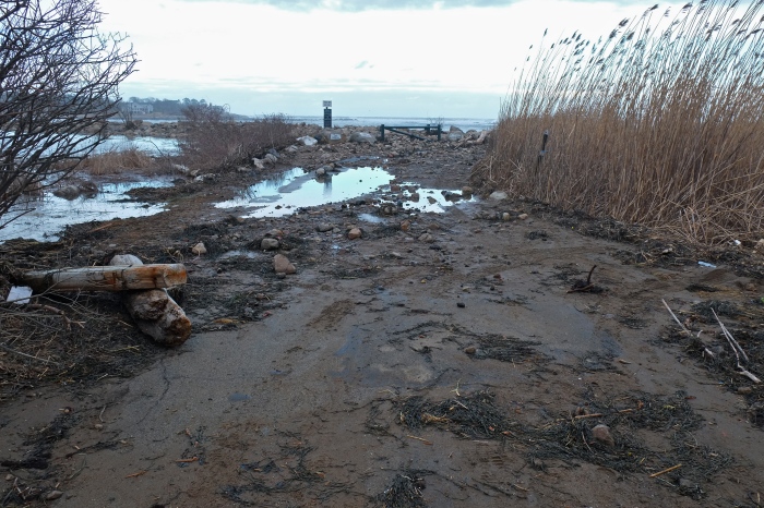
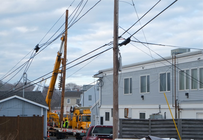
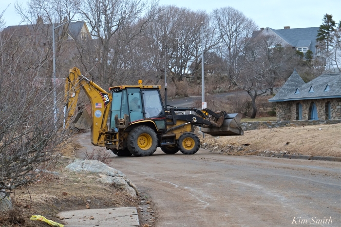
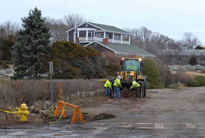
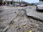
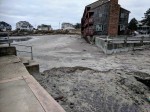
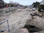
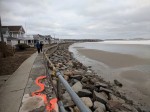
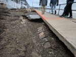
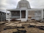
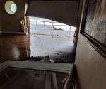
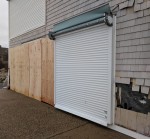
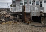
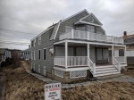
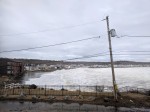
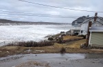
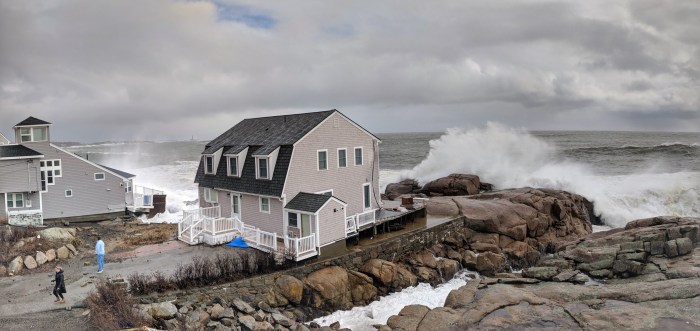
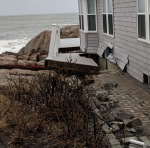
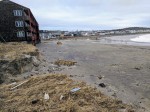
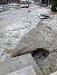
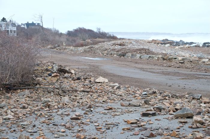
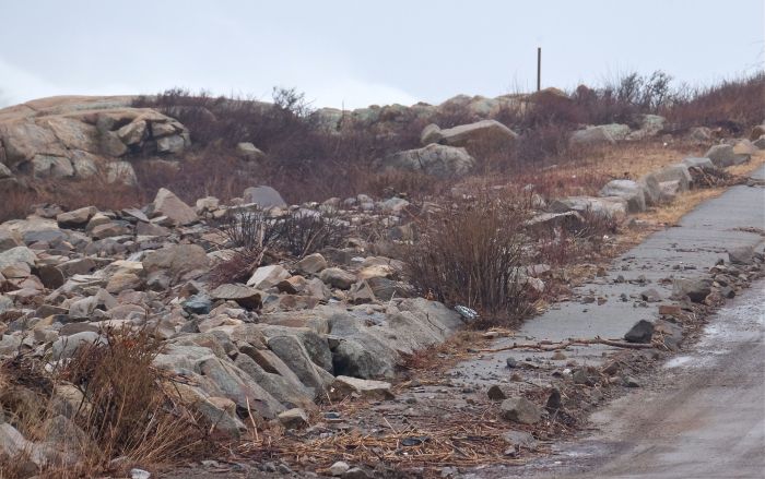
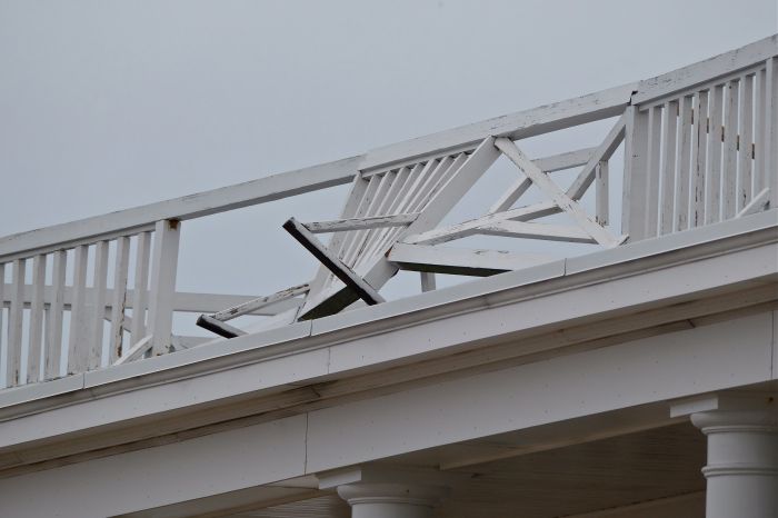
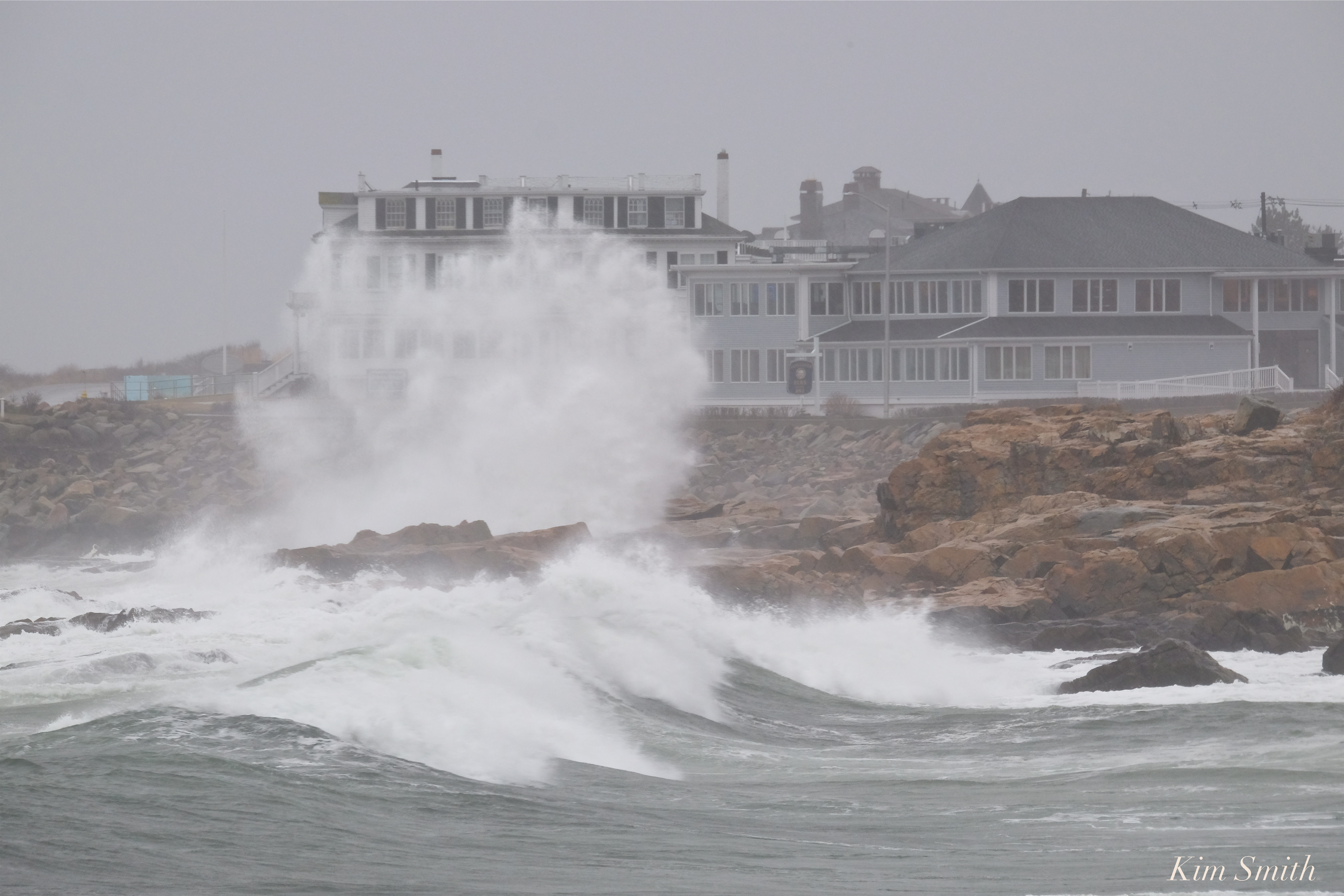
Last night’s fourth super high tide in two days again brought an incredible surge of seawater. Gloucester’s DPW Marco Numerosi was working last night at 2am and reports it was the worst of all. DPW crews and GDP Officers were on the job bright and early this Sunday morning, cleaning the roads of hurled rocks, popples, seaweed, and seagrass.
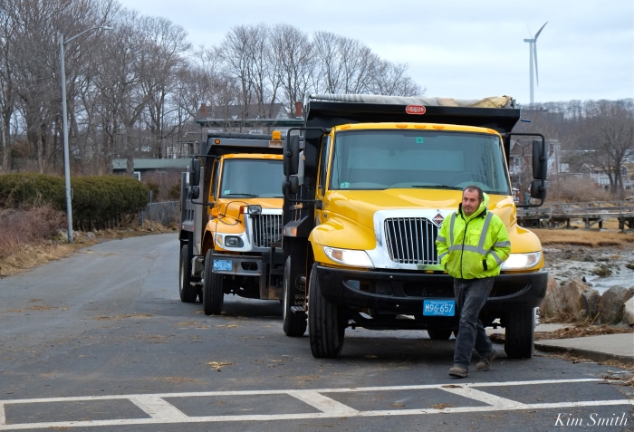
Officer Al D’Angelo and Marco Numerosi
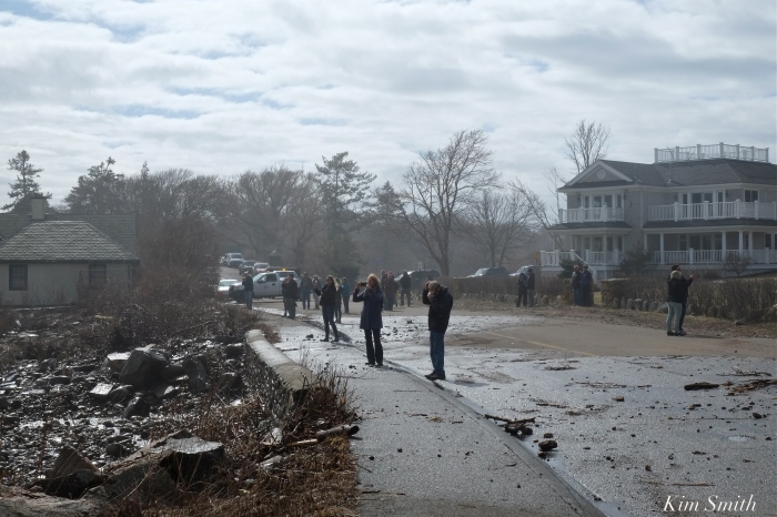
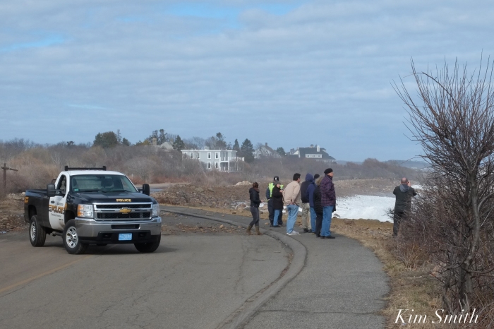
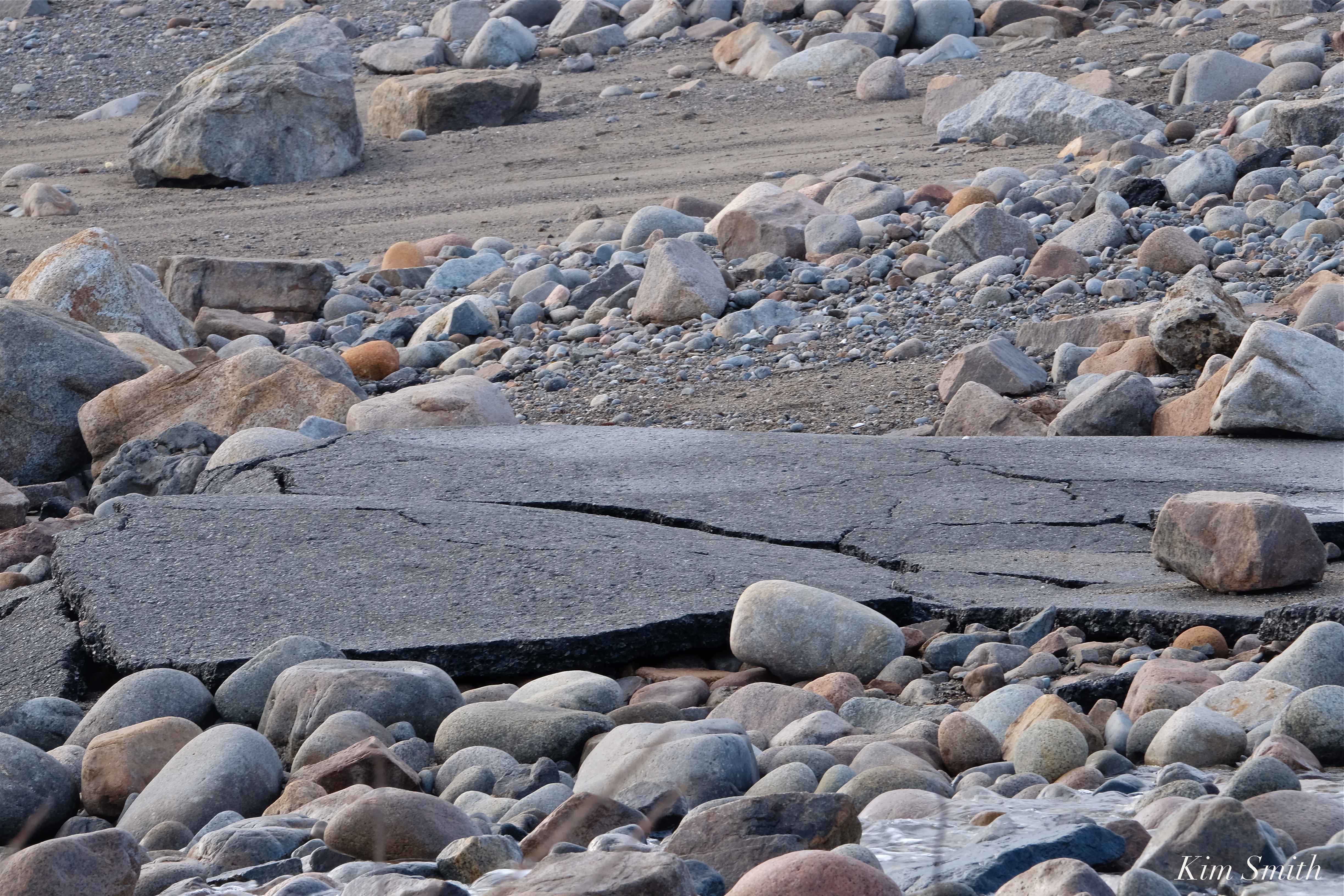
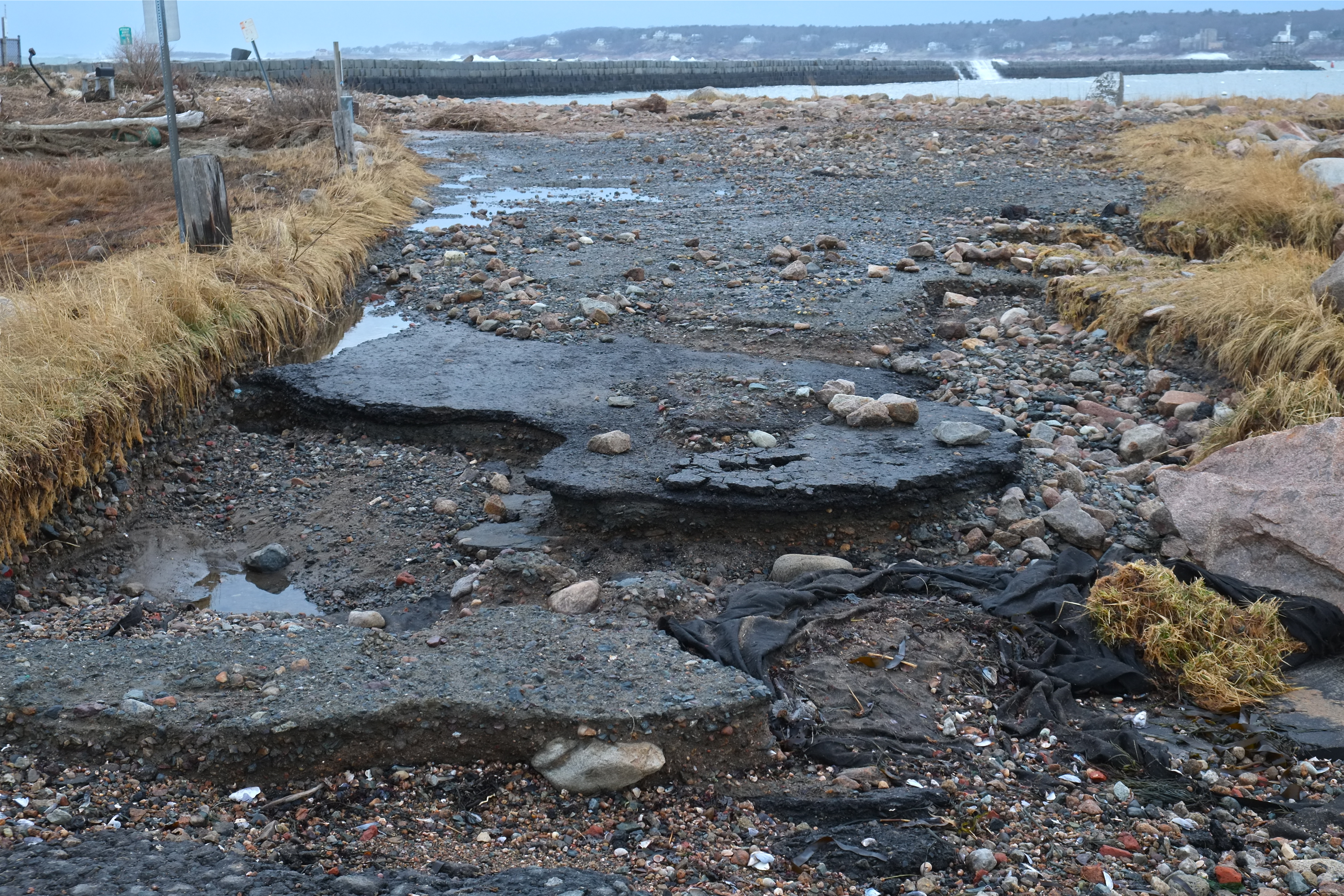
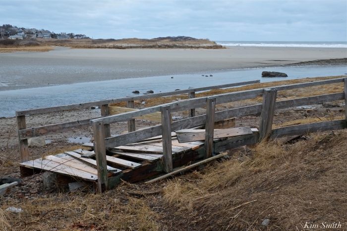
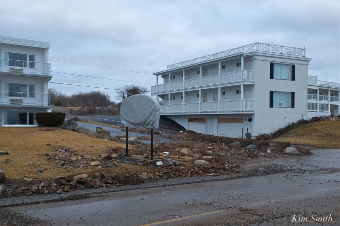
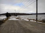
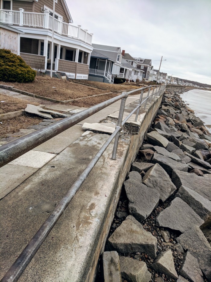
Eastern Point Road, by Bemo Street, still littered with debris at 8am, is closed, and virtually impassable. One driver tried, and then quickly changed his mind.
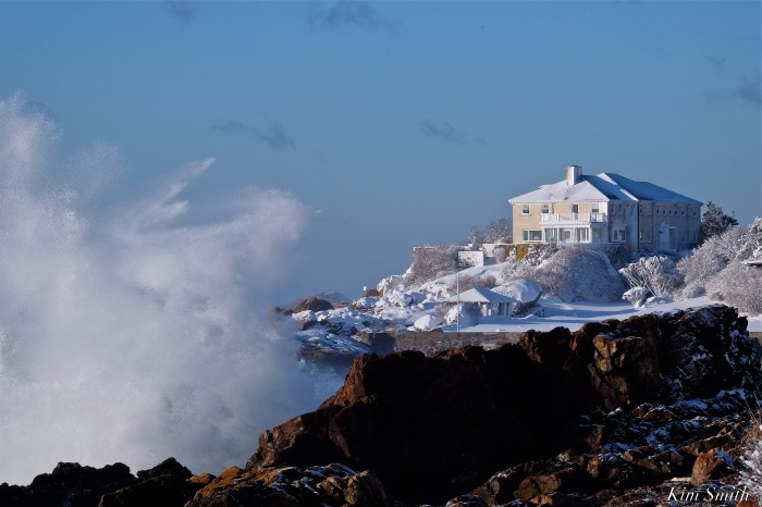
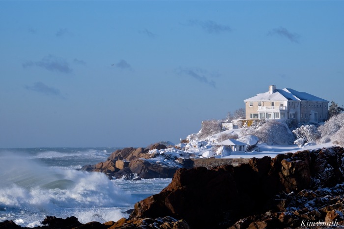
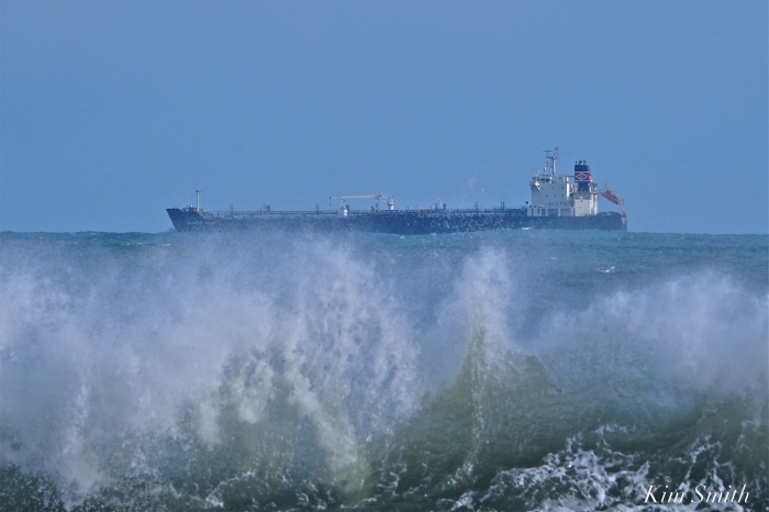
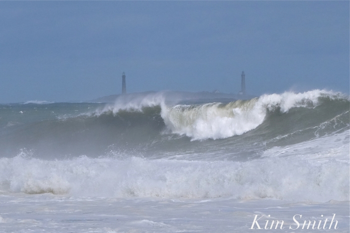
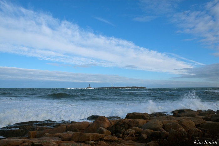
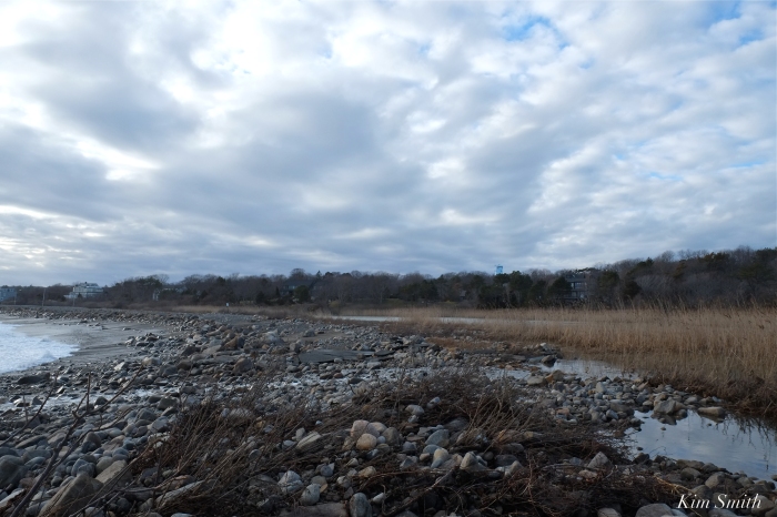
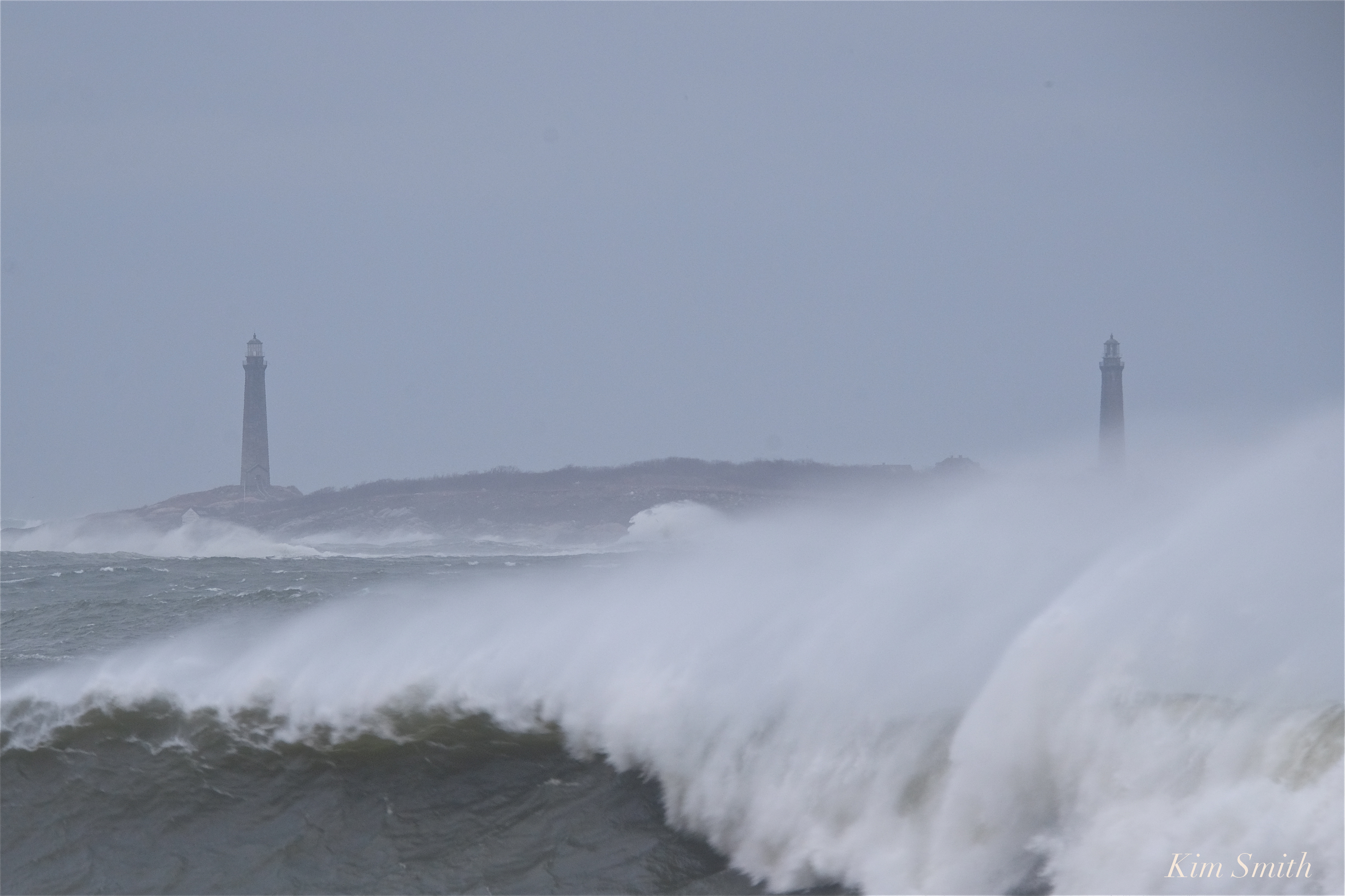
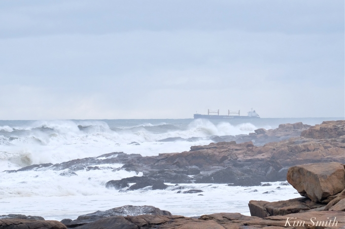
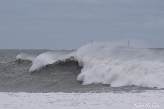
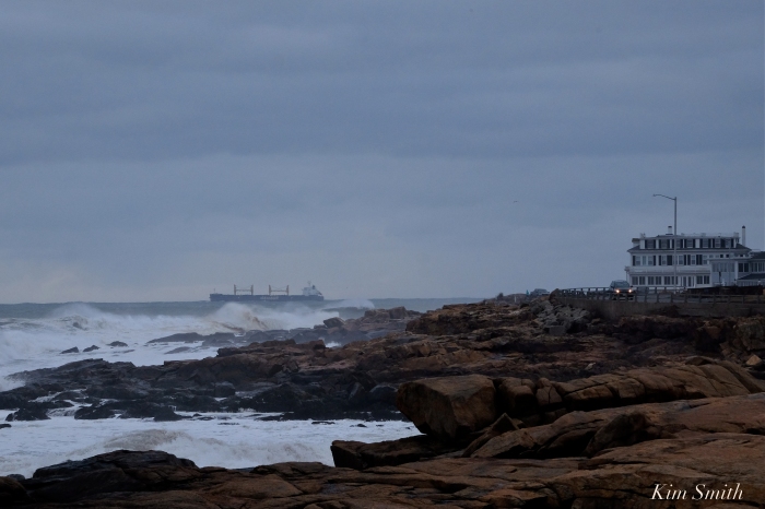
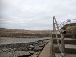
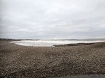
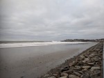
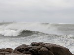
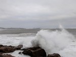
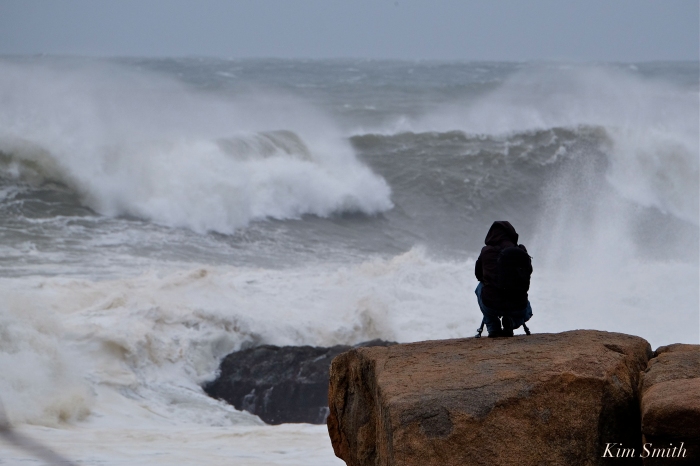
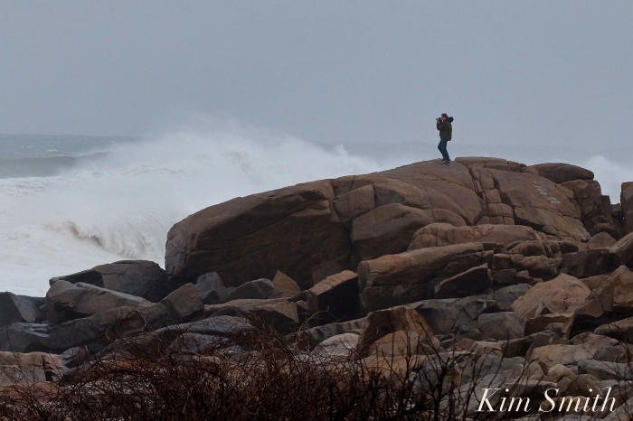
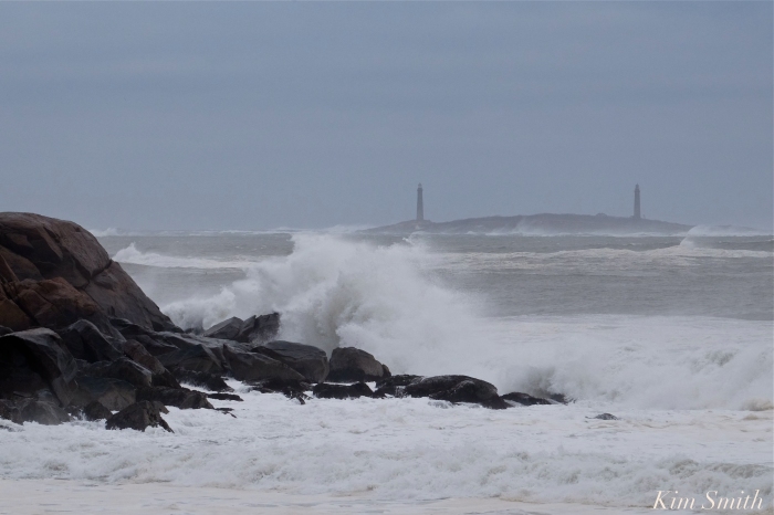
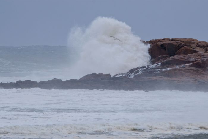
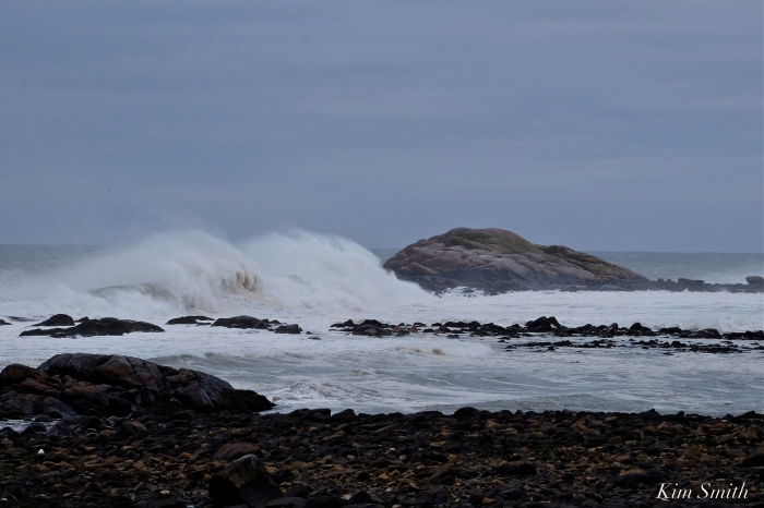
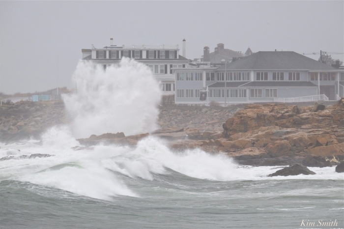
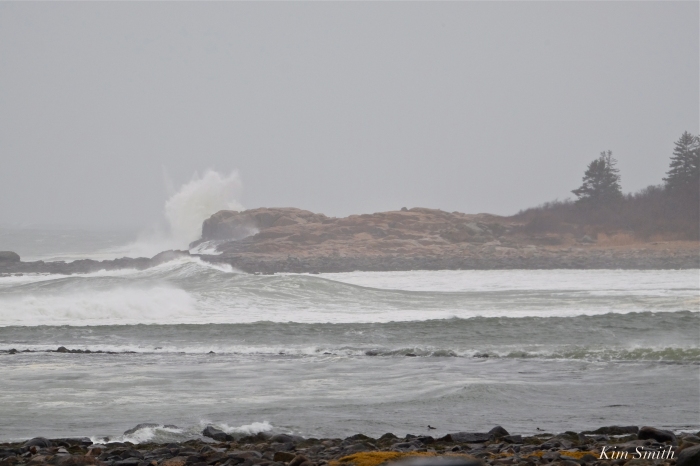
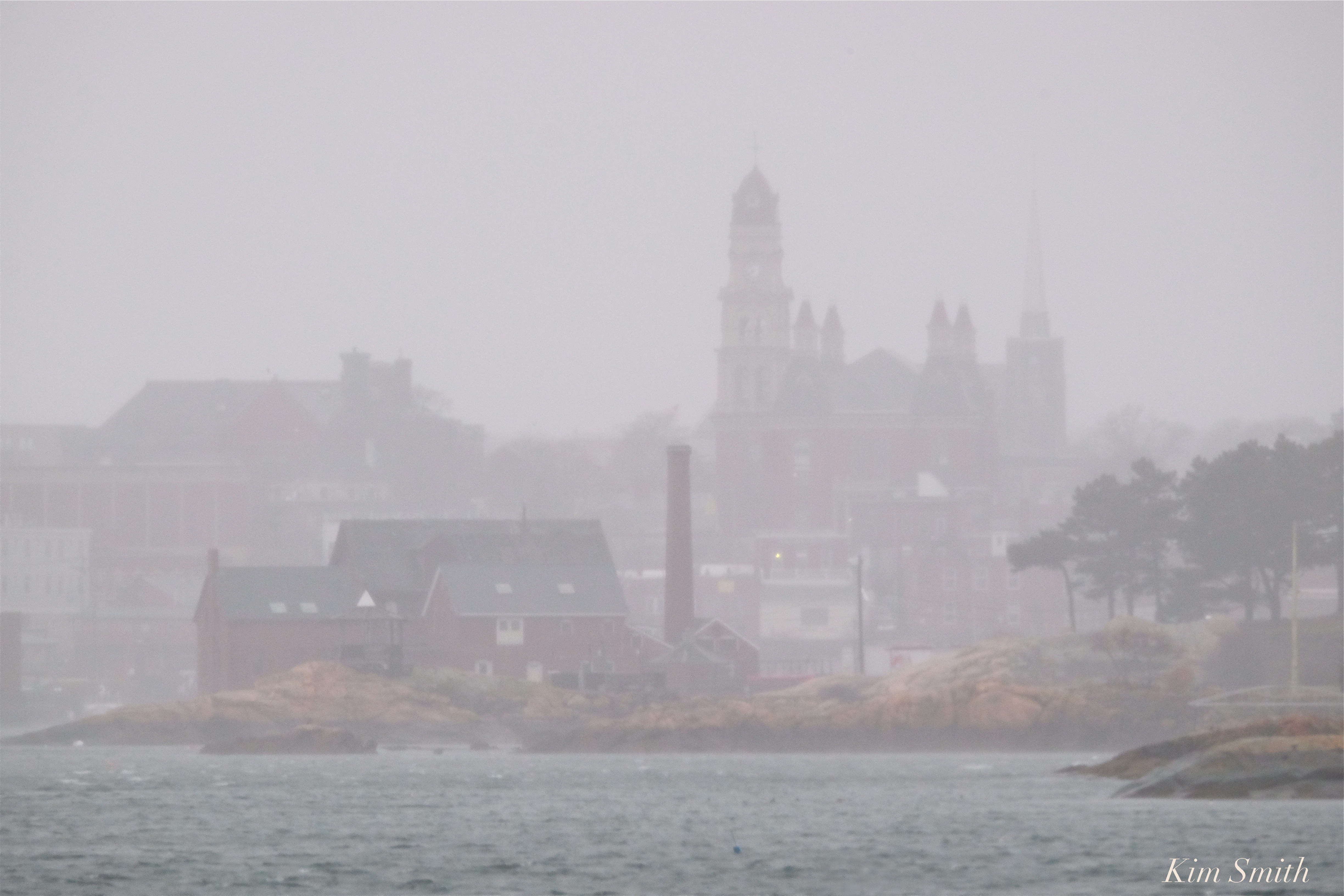
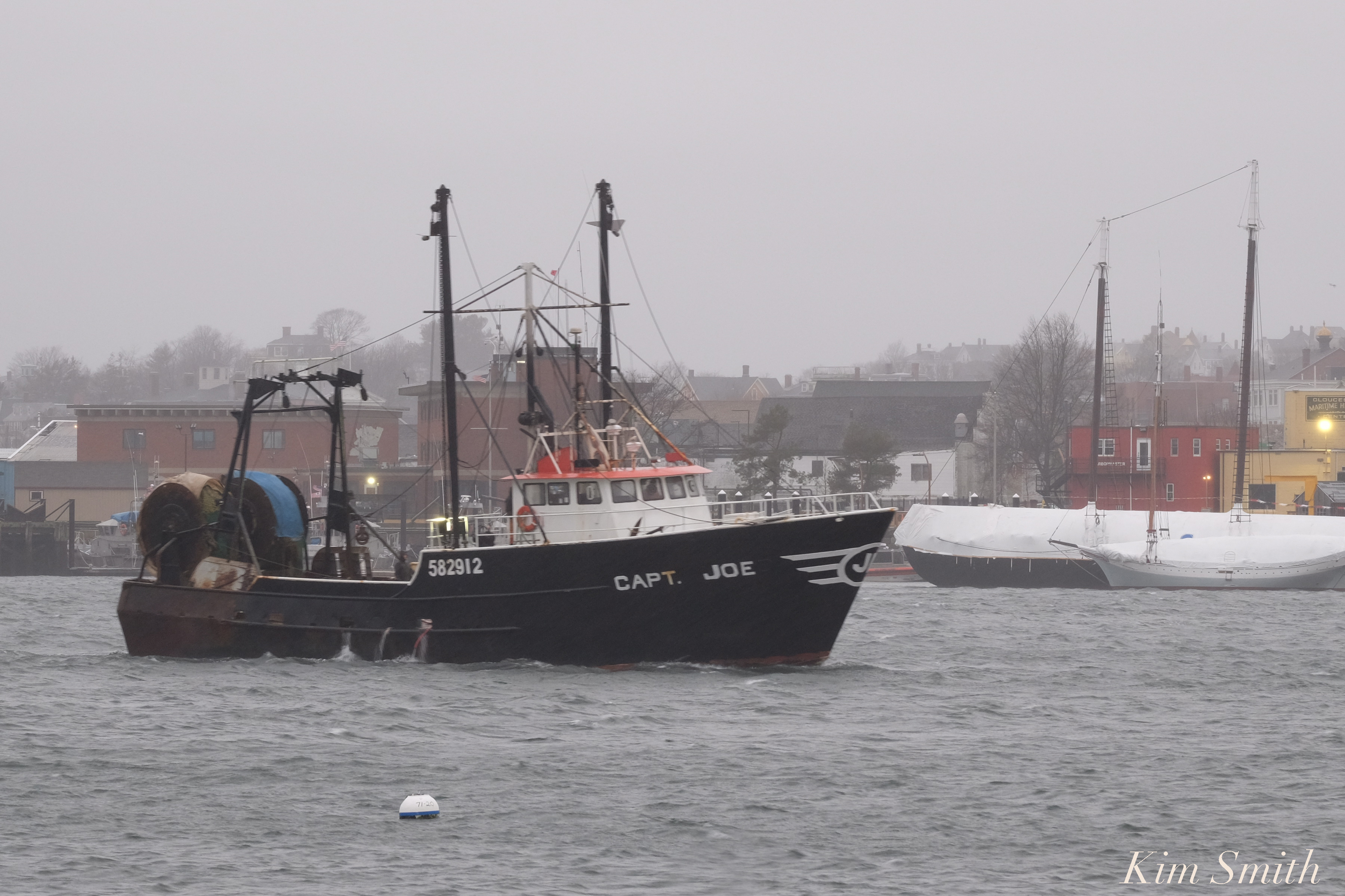
This morning photographing and filming at 6:30 you would not believe it was dead low tide. There is so much water and I am afraid the next tide will bring with it another round of destruction. The waves are towering; a large ship, the Oldendorff appeared to head straight out and then steered closer to shore. Stay safe and warm friends.
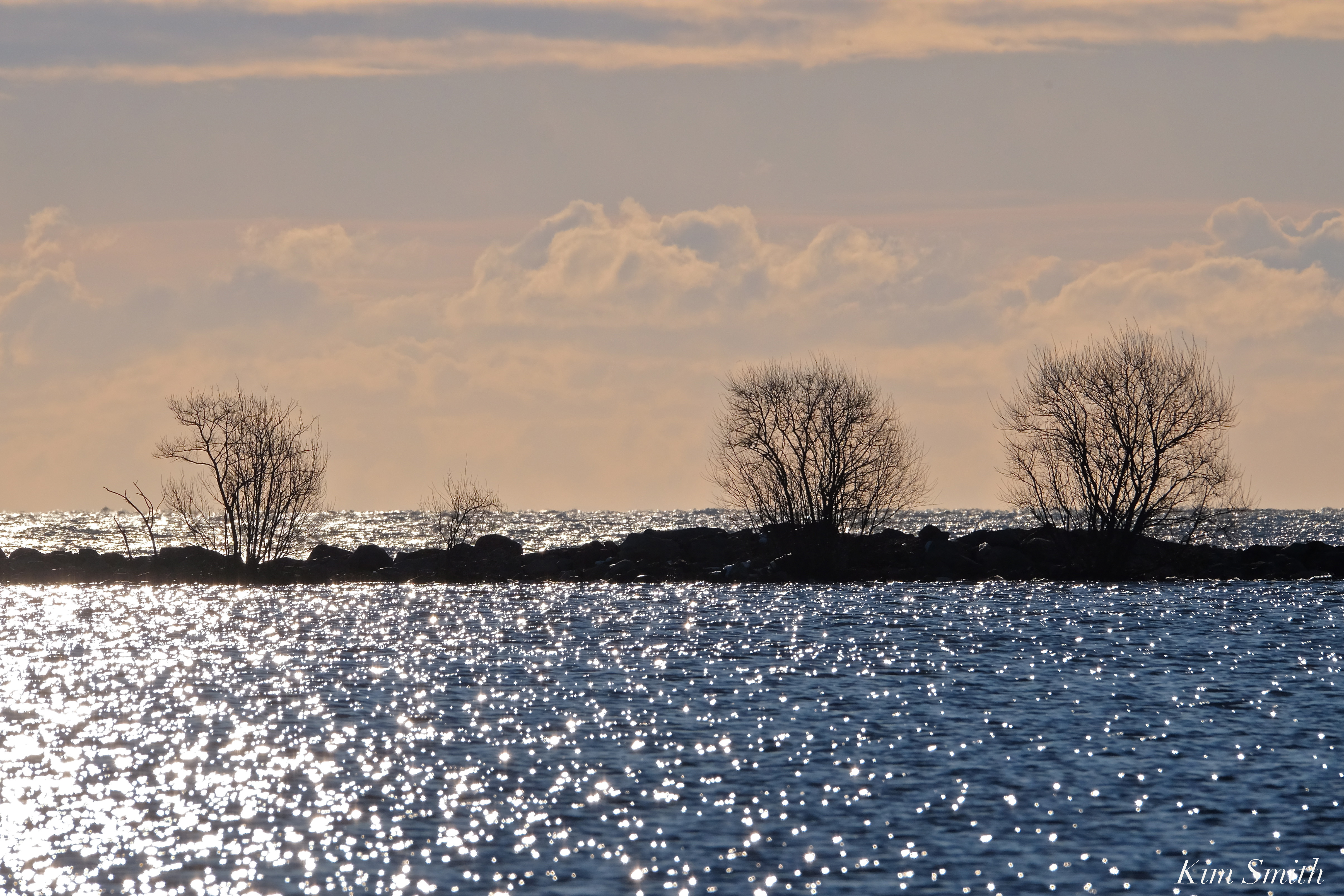
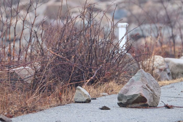
 Still no sign of our Snowy
Spread The GMG Love By Sharing With These Buttons:
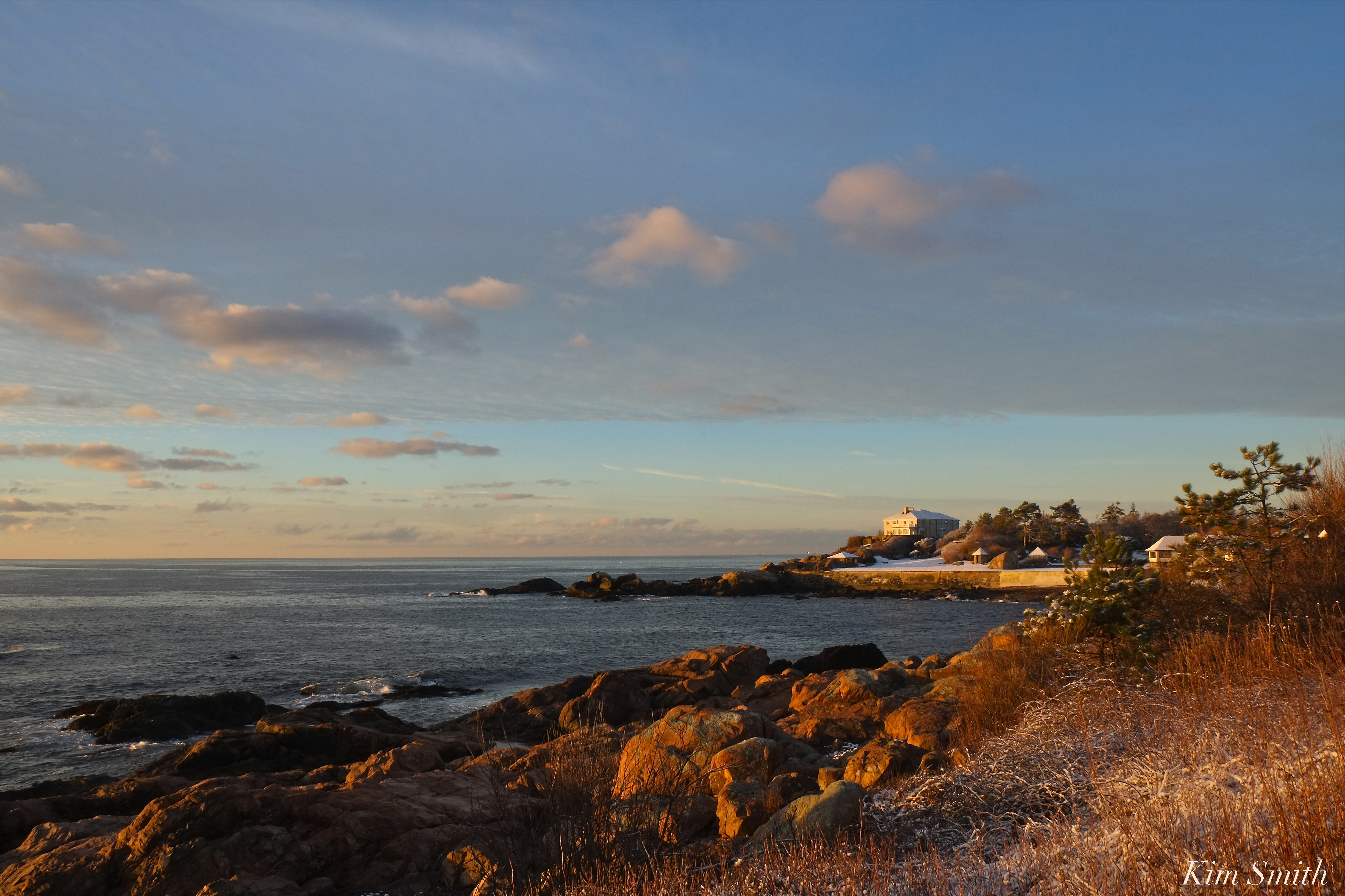
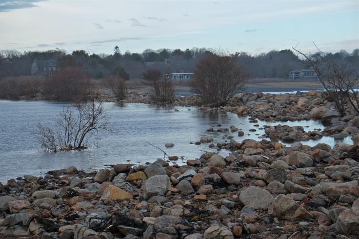
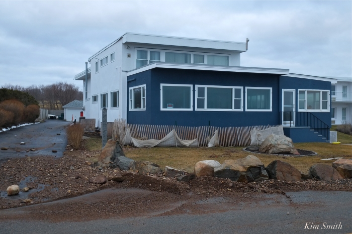
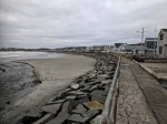
 Eastern Point