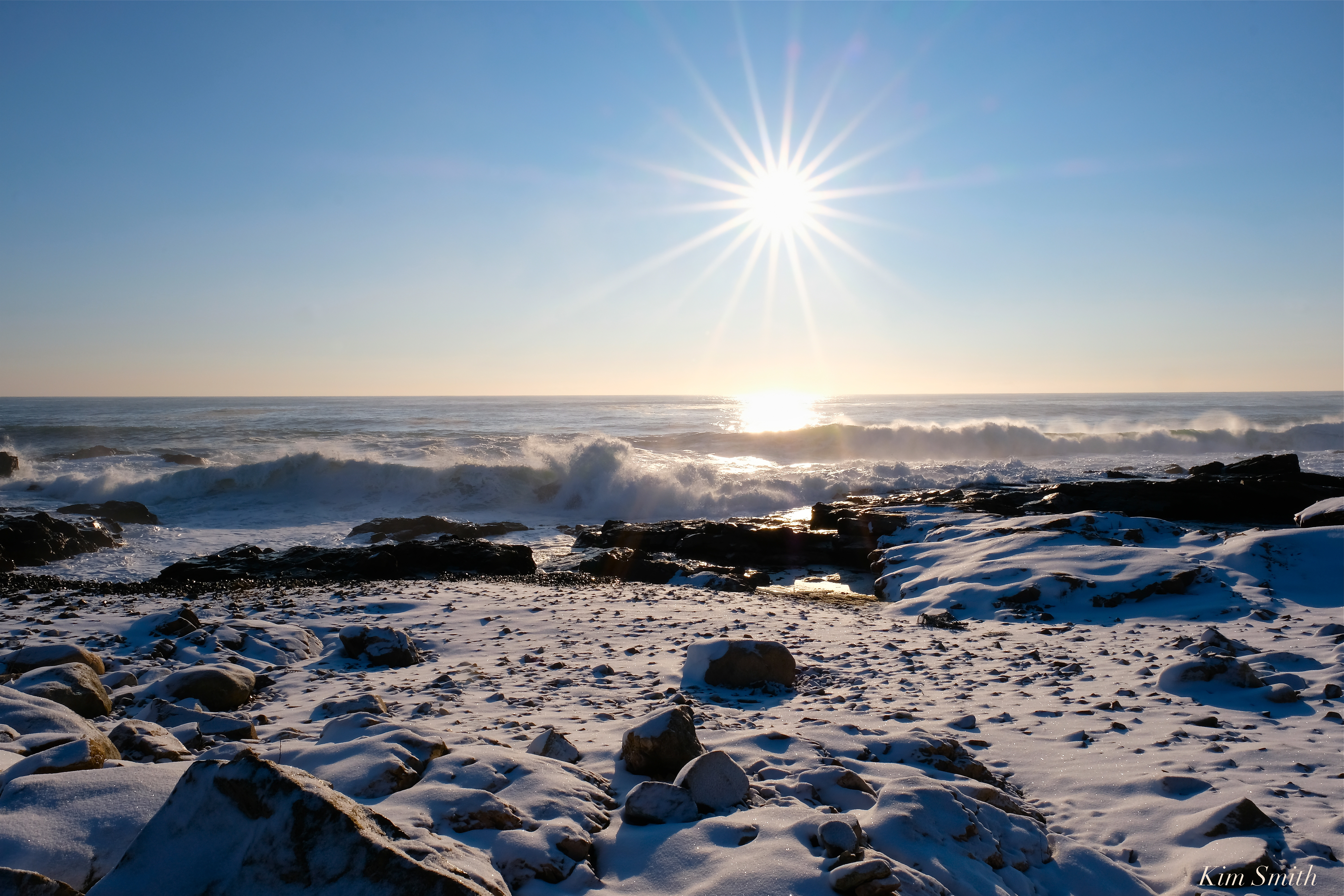
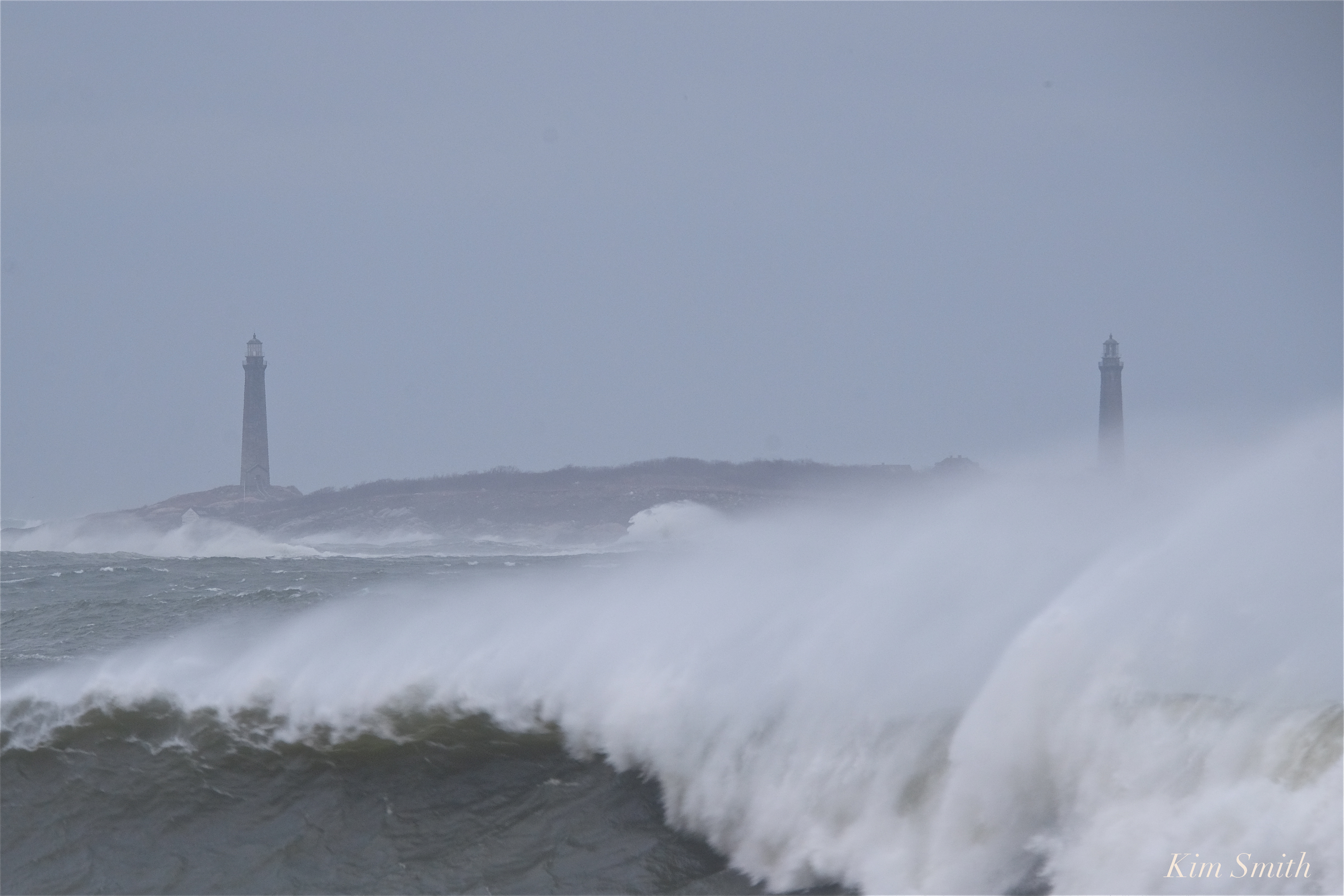
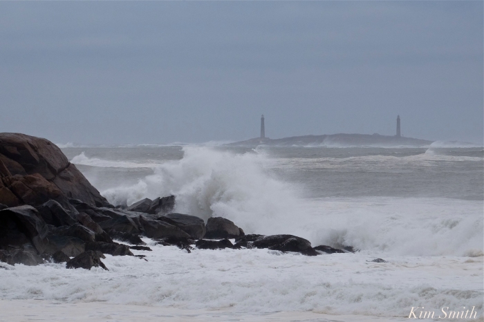
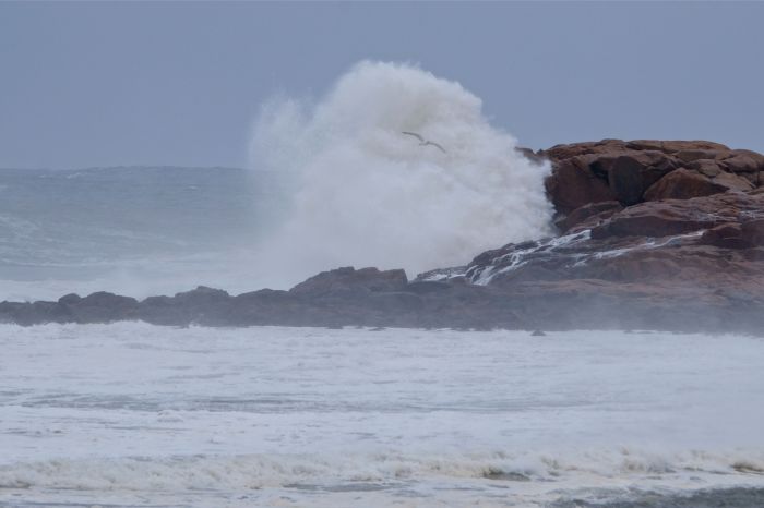
Wild sea and atmospheric light made for some dramatic scenes this morning.


My View of Life on the Dock

Wild sea and atmospheric light made for some dramatic scenes this morning.

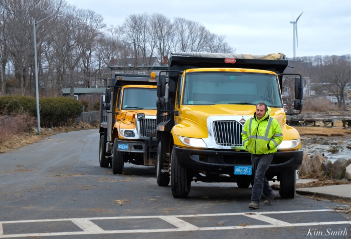
 Thank you to Phil Cucuru for the Good Harbor Beach information and news of restoration plans to begin soon, after the public school’s April vacation. During the week when the school children are off premises, the DPW turns its attention to the school buildings and grounds. As soon as vacation is over the DPW will be resume work at Good Harbor Beach and all the Gloucester Beaches.
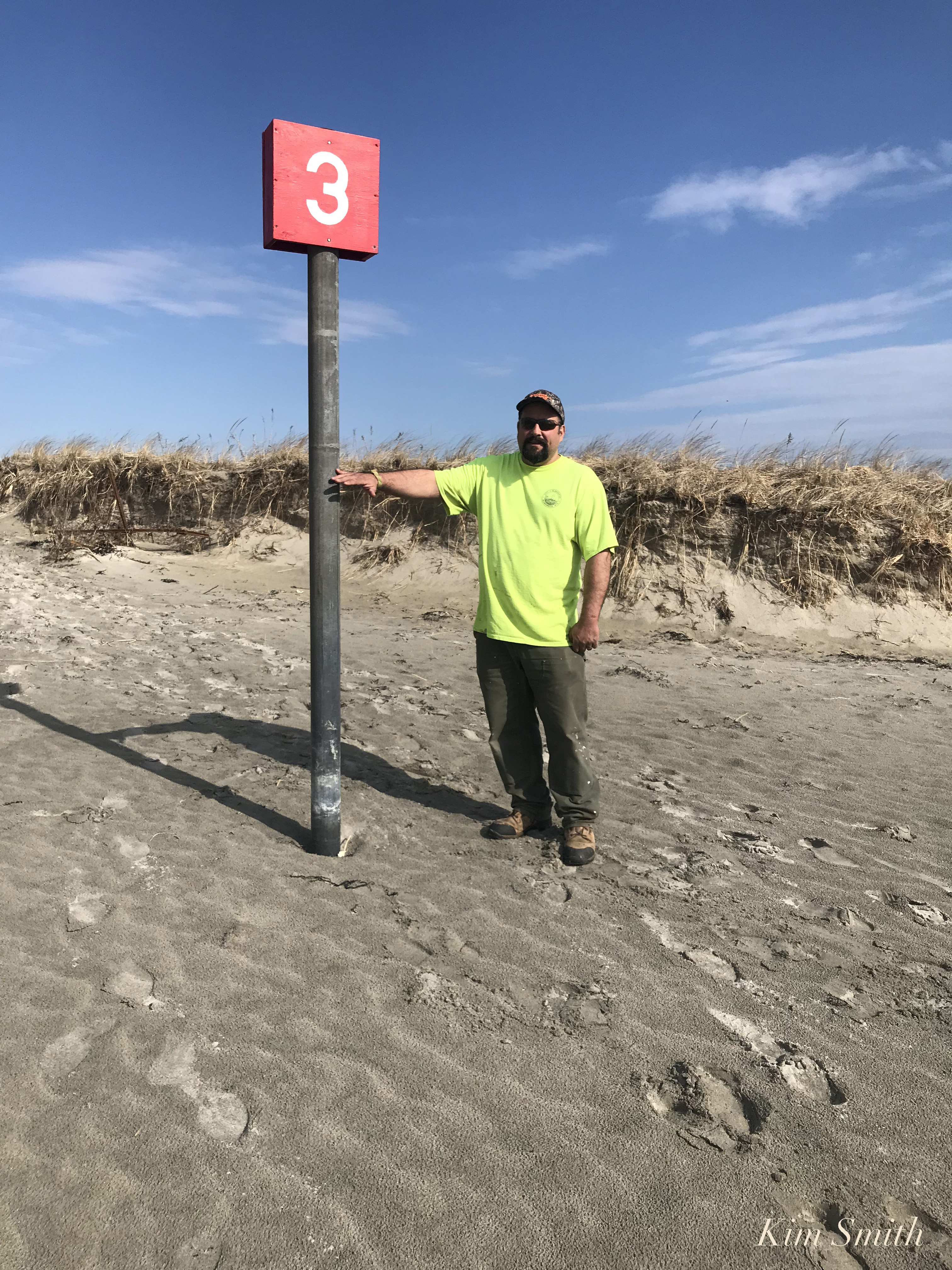
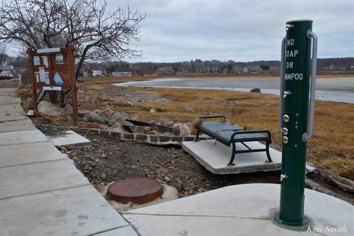
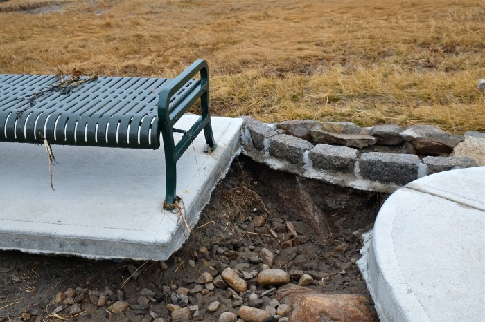
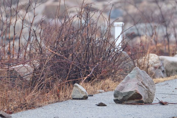
We lost about three to four feet –in depth– from Good Harbor Beach (Wingaersheek, as well). As you can see in the above photo, Phil is pointing to where the sand came up to the #3 sign prior to the March storms. This is why the tide is coming in so high and so close to the bluffs, and why the big rock has become even more exposed.
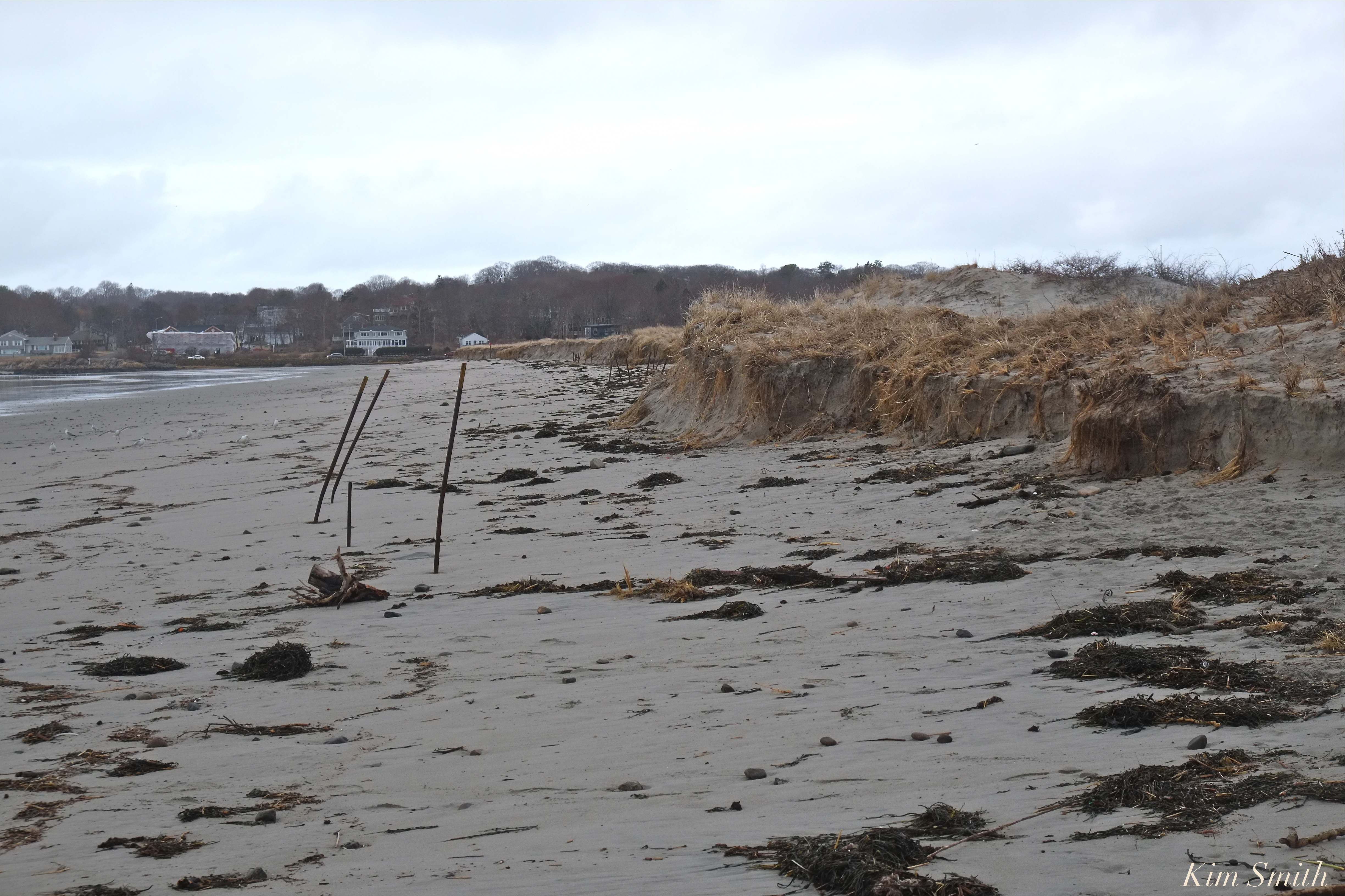 Up until the March storms, the metal fence posts were nearly completely buried beneath sand that had built up, with only about 3 inches protruding above the sand. Now they are completely exposed, with a sheer bluff, rather than a gently sloping dune.
Plans have been in place since last year to restore the dune fencing this coming summer! I was so happy to hear this update about the dunes from Phil because the fencing helps to create areas of vegetation on the beach, at the base of the bluffs, and fencing helps to keep people and pets out of the dunes and from trampling the fragile habitat, especially the wildflowers and beach grass so necessary for a strong, healthy, and vital dune ecosystem.
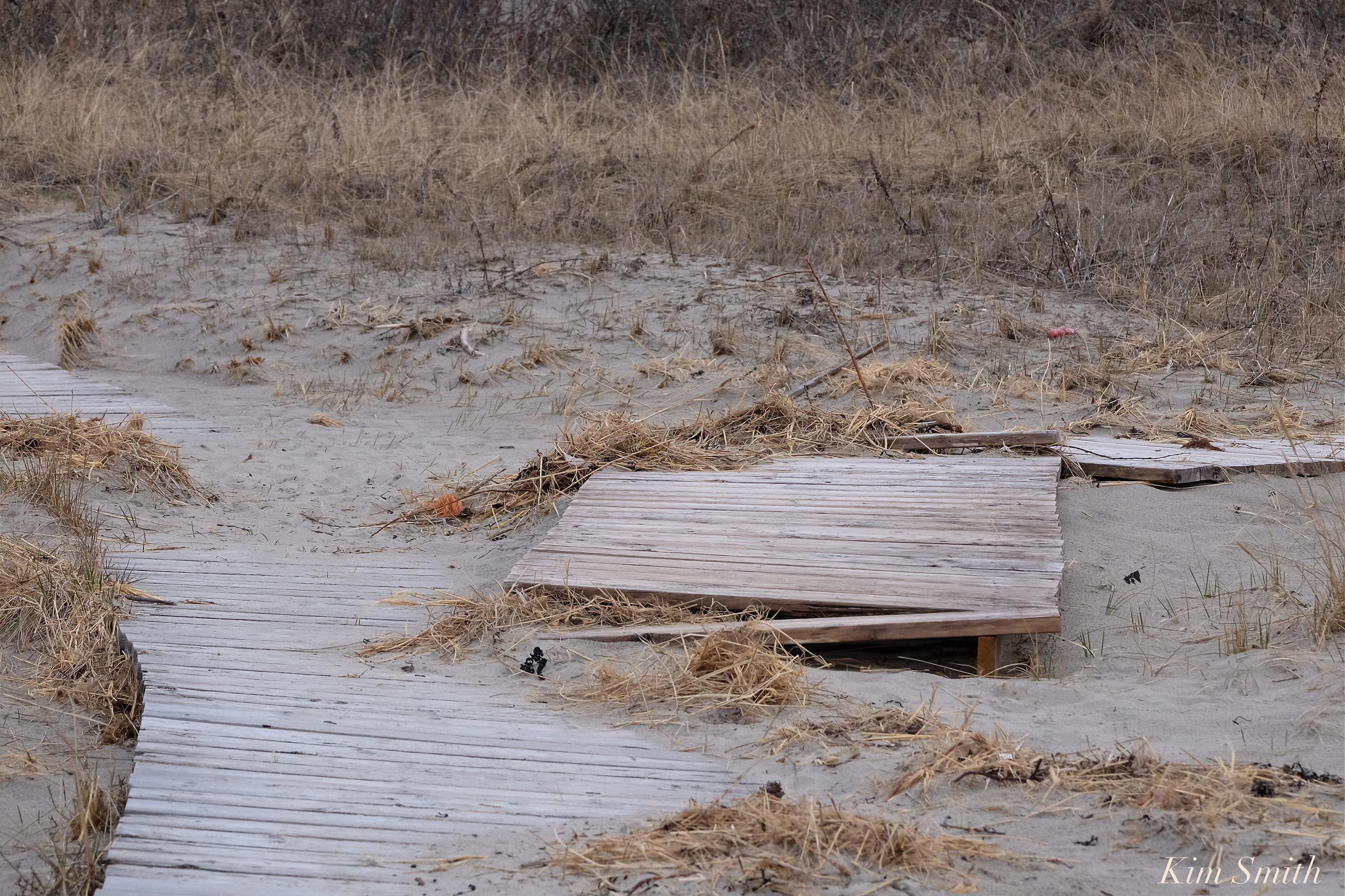 All three boardwalk accesses to the beach were severely damaged. Believe it or not, the storm surge was so strong, it broke away huge sections of the boardwalks, and pushed them twenty and thirty feet back into the dunes. Boardwalk number two is nearly destroyed, which is especially frustrating because the DPW completely redid boardwalk #2, and made wider for handicap accessibility, last spring. The surging ocean water poured all kinds of debris into the dunes as well, and widened the walkways onto the beach. Phil said that in twenty years of working for the DPW he has never seen the likes of the March nor’easters and, with that, such extensive damage to Gloucester beaches.
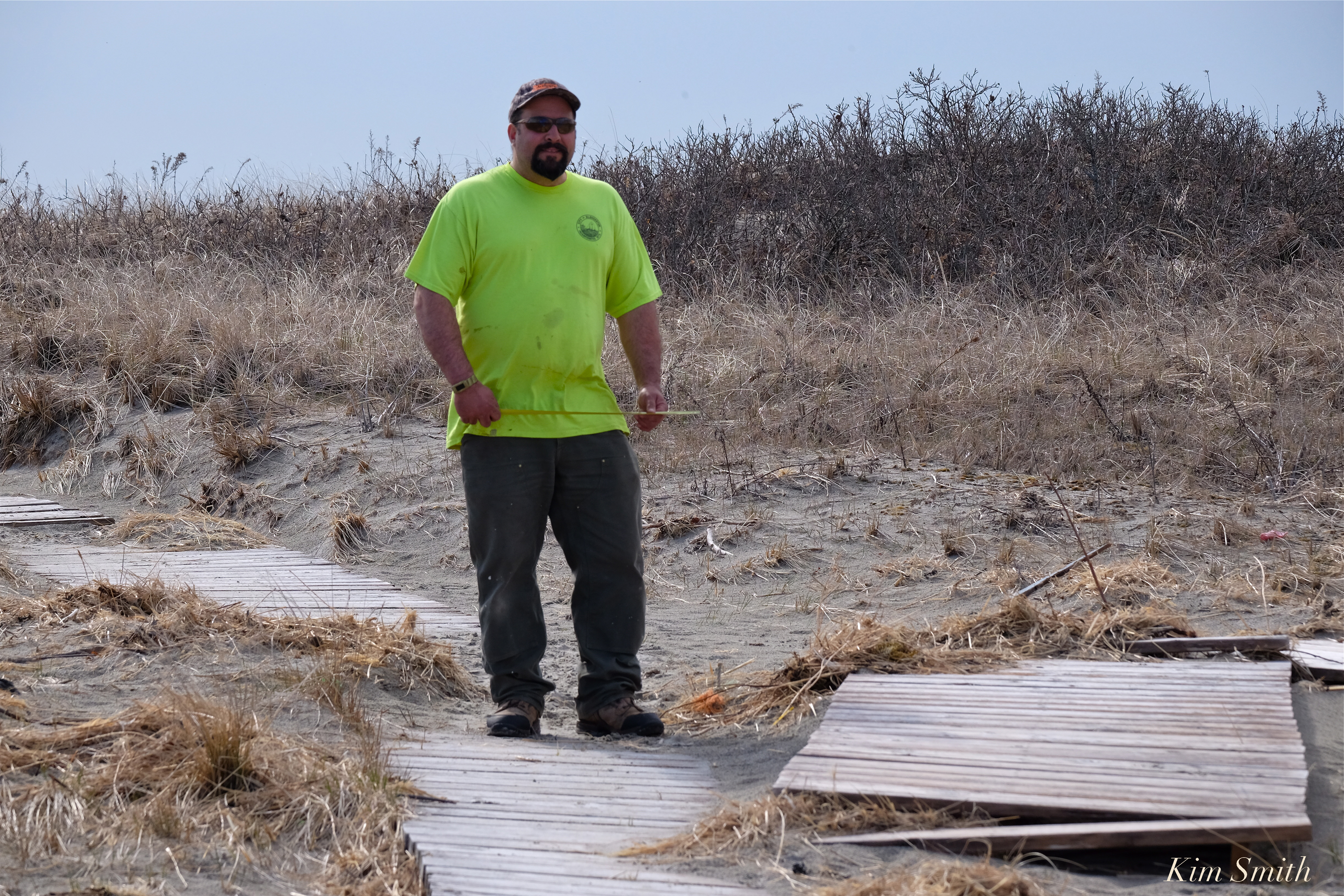
Phil measuring for repairs.
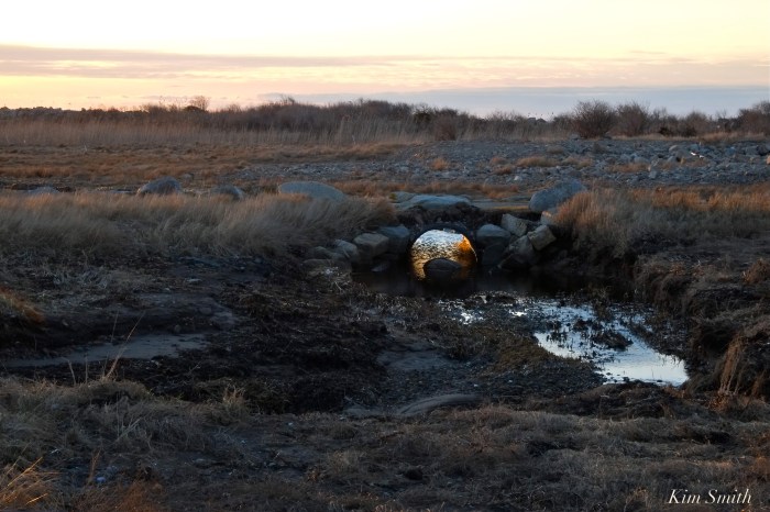
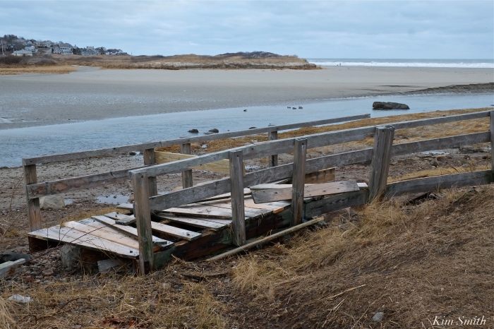
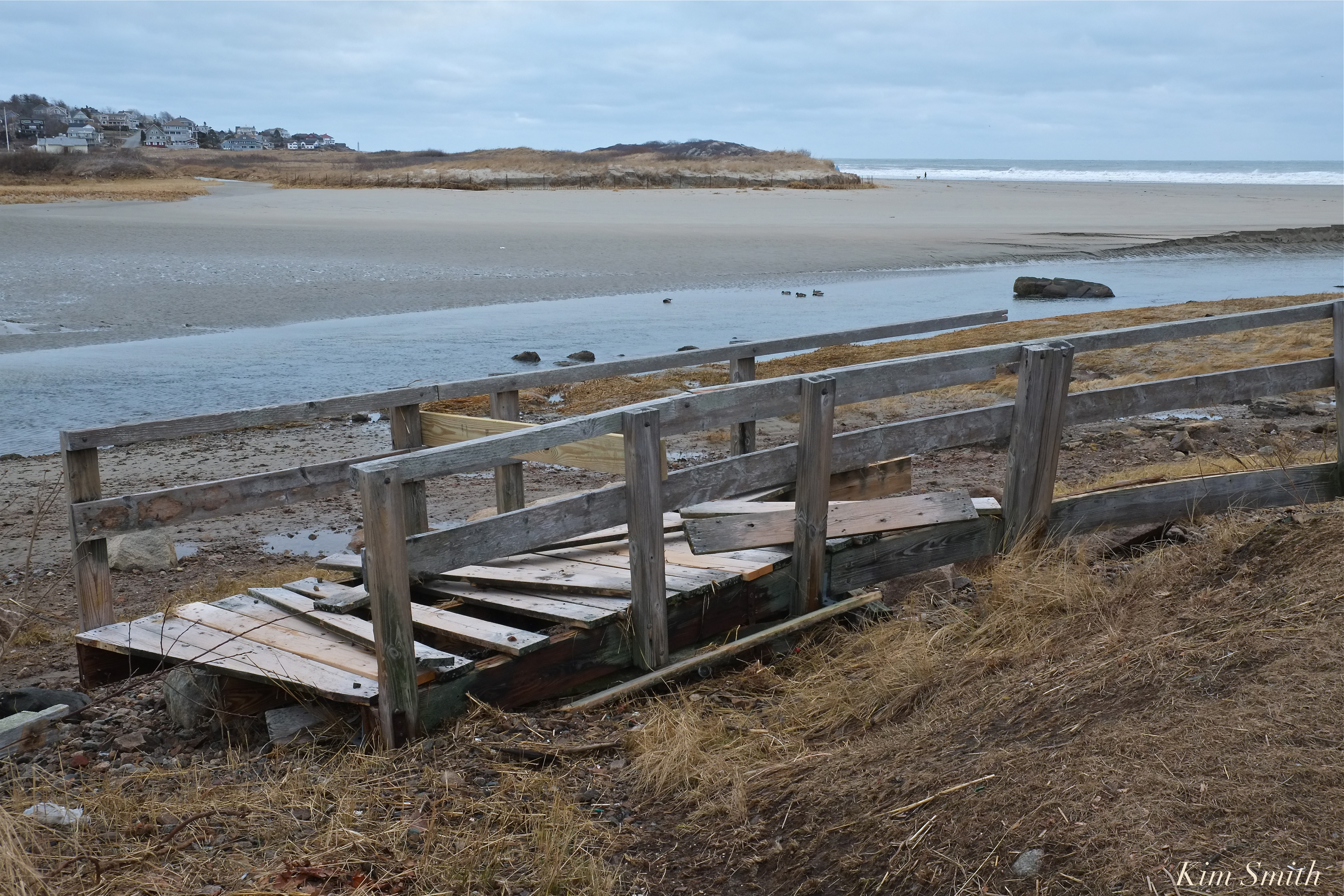 Good Harbor Beach footbridge torn from its footings and in the marsh.
The day before the first nor’easter Phil and fellow crew members added steel braces to help shore up the bridge but unfortunately, nothing was safe from the power of the late winter storms. Plans too are being developed to repair the footbridge, with the goal of full restoration by Memorial Day weekend.
Thanks again to Phil Cucuru for the updates, so glad to hear the good news!

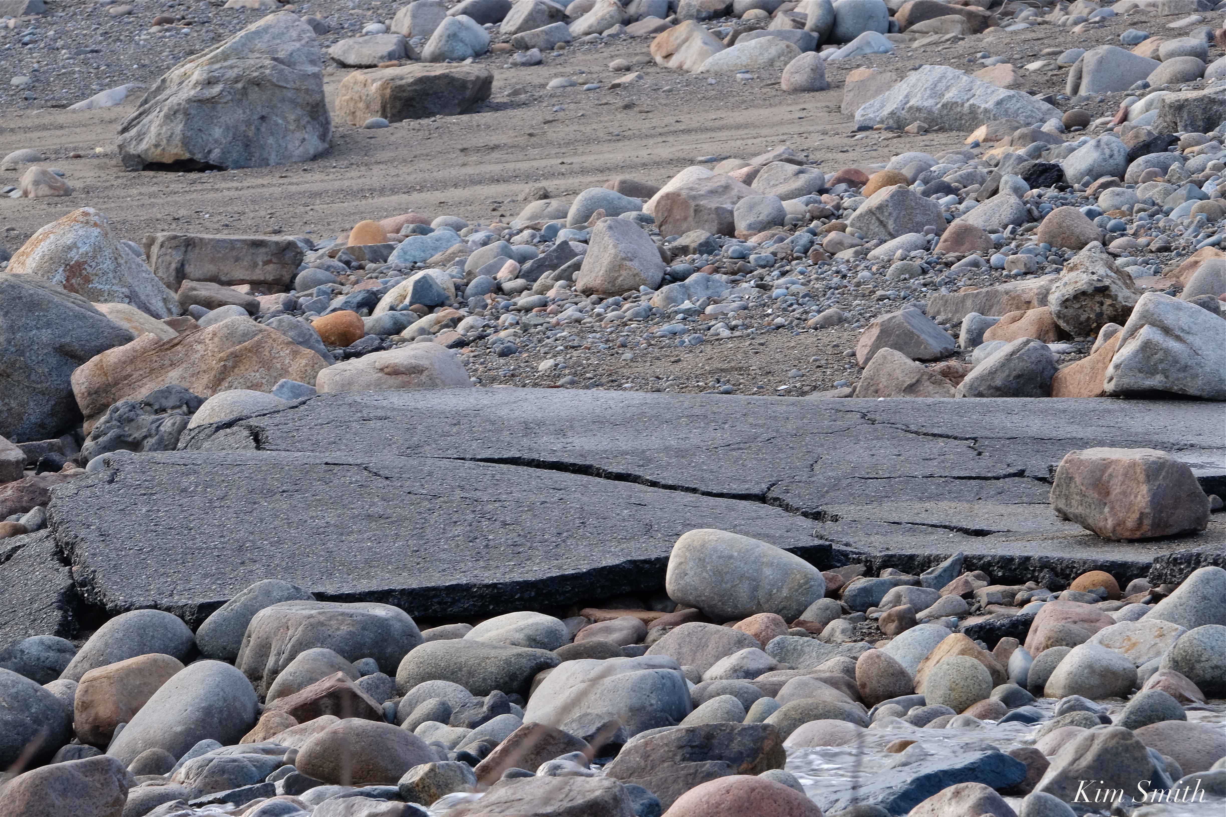
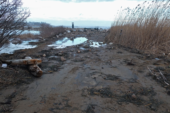
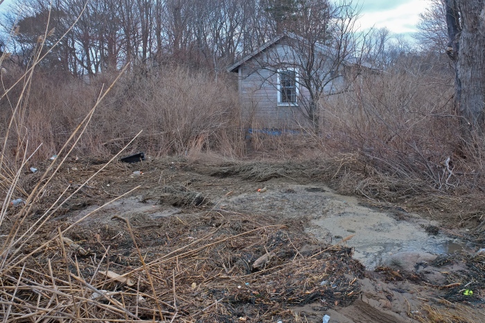
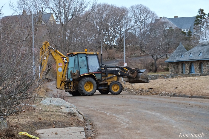
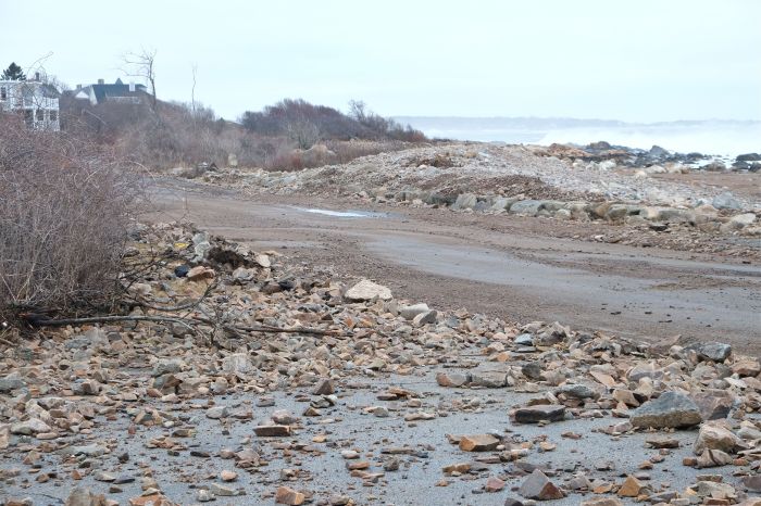
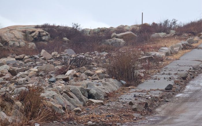
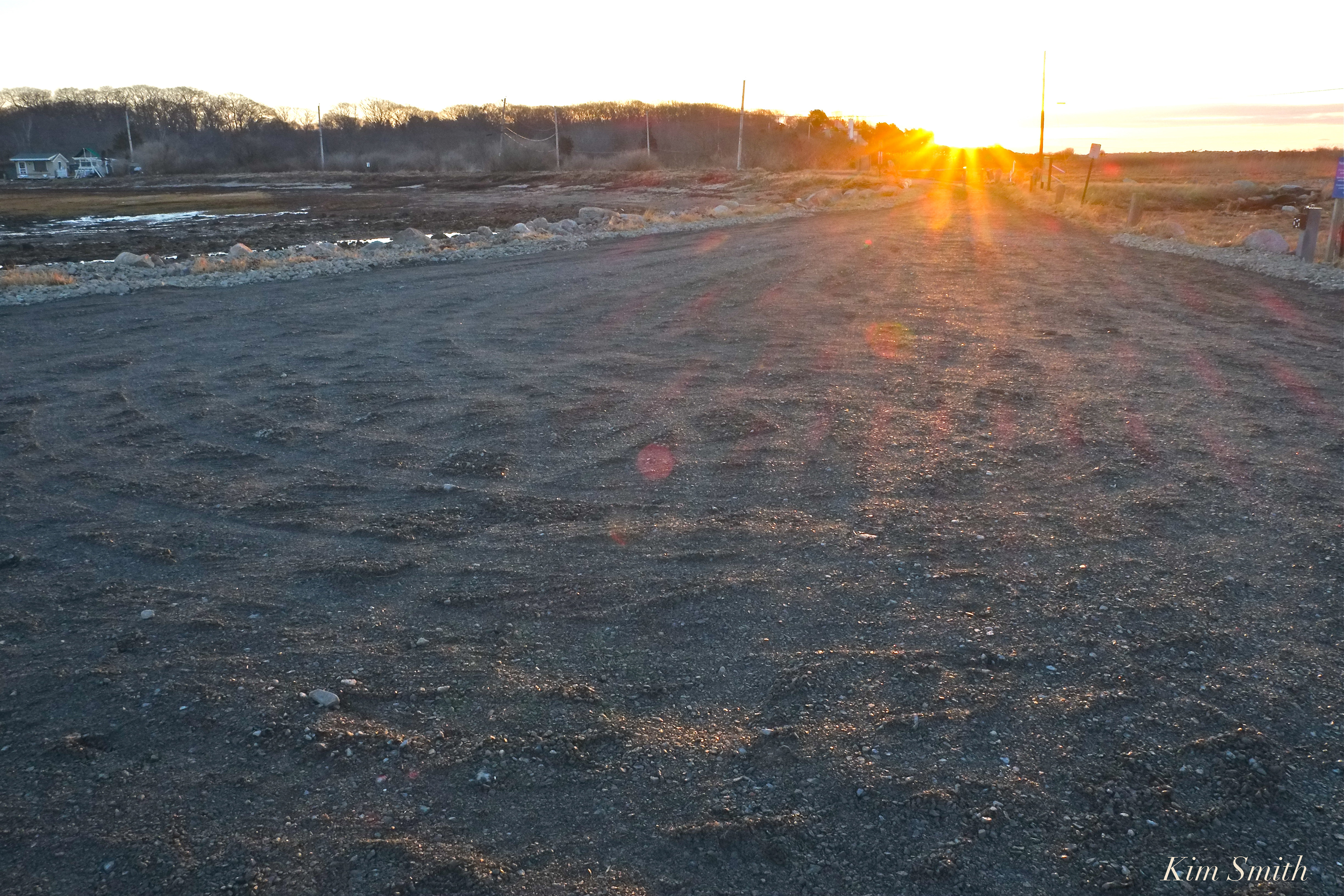 When writing “new parking lot,” I truly mean new. The old road and parking lot were completely destroyed after the second of our four march nor’easters.
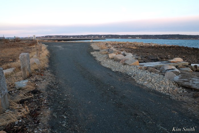
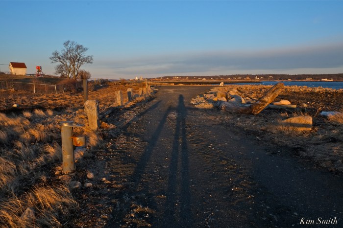
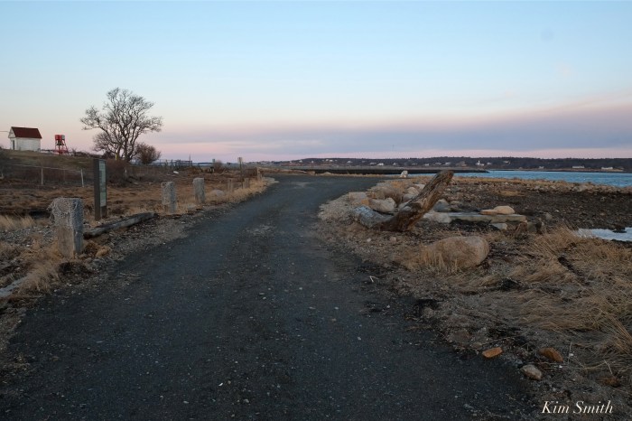
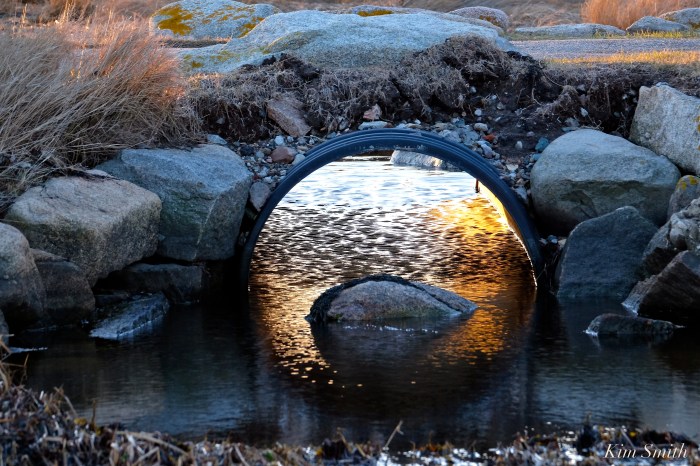
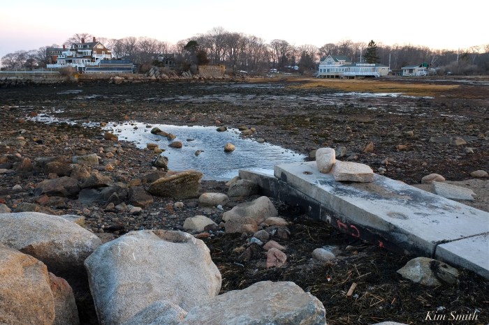
The culvert that allows marsh water to flow into the beach survived all four storms with flying colors, providing continual drainage. The culvert was restored by NOAA and has proven storm after storm to be a great success story.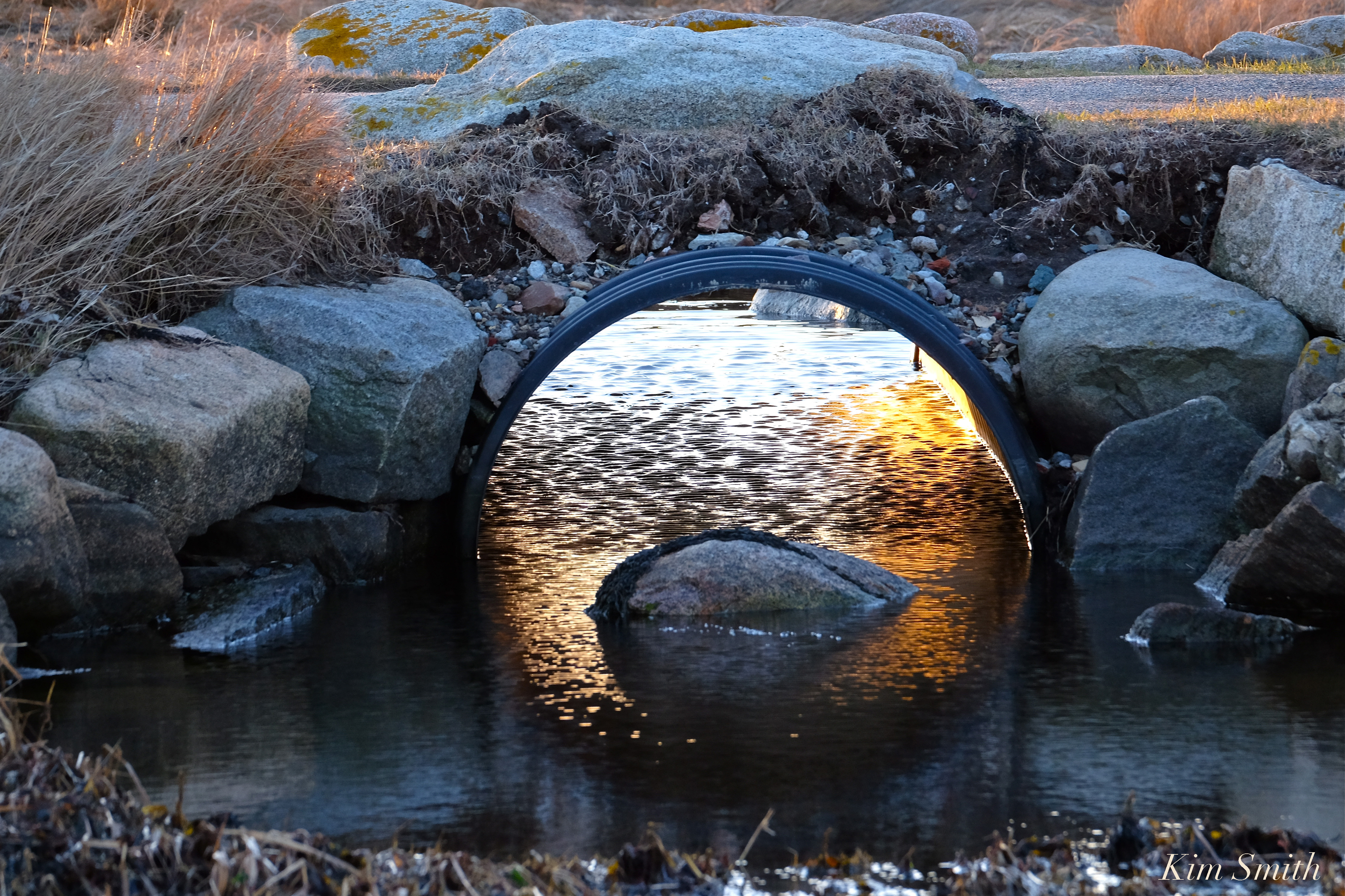

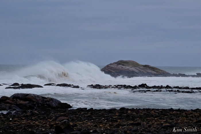
Grateful for the tameness of today’s storm, the fourth nor’easter of March. Our coastline has had its fill of damage done. Sunny skies forecasted for tomorrow!
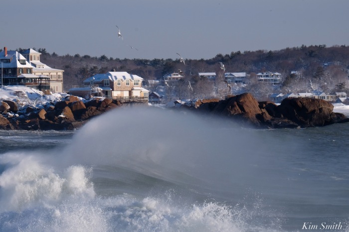
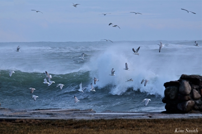
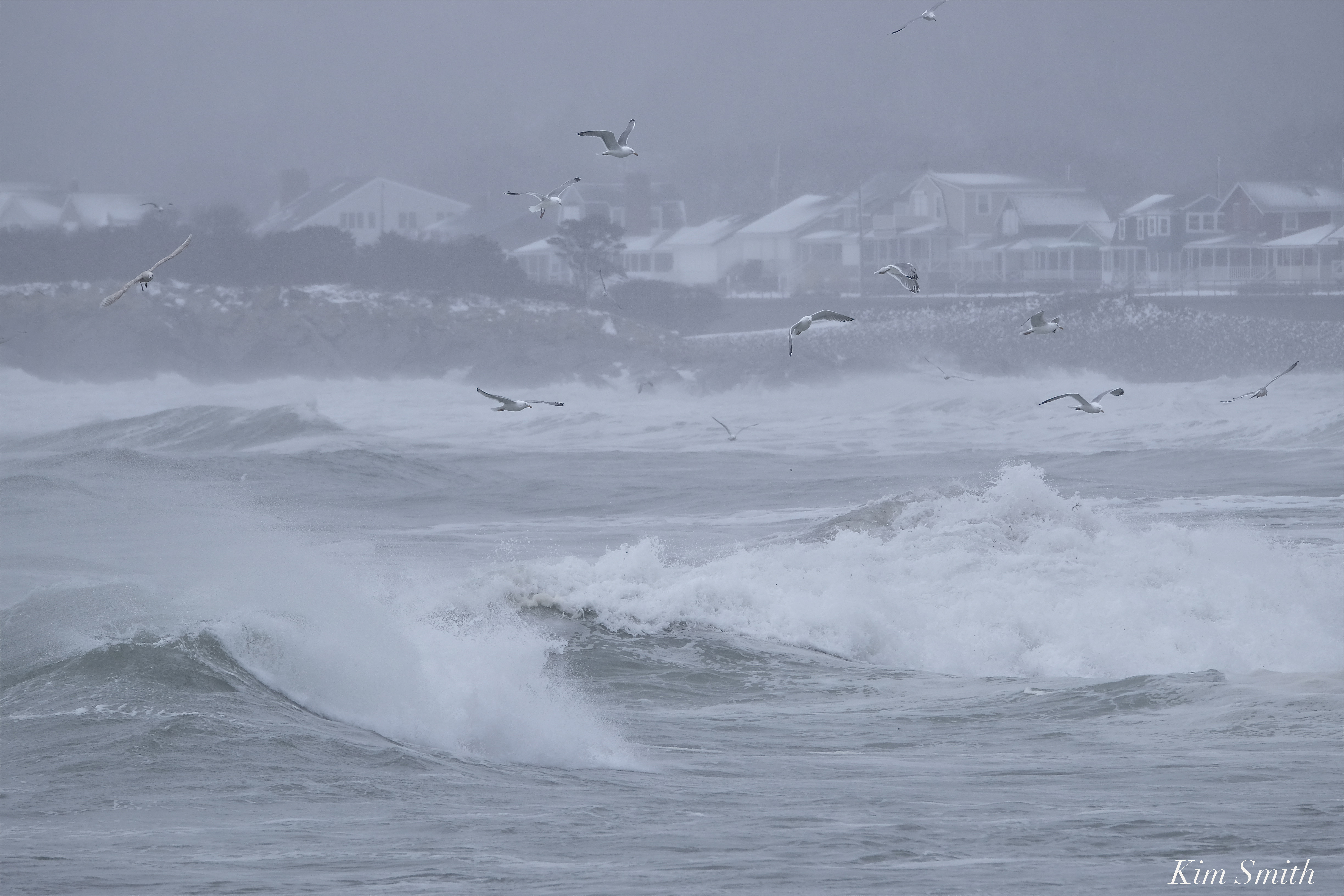 Snowy day seagulls feeding in the surf

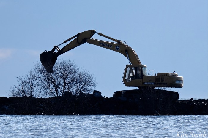
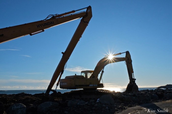
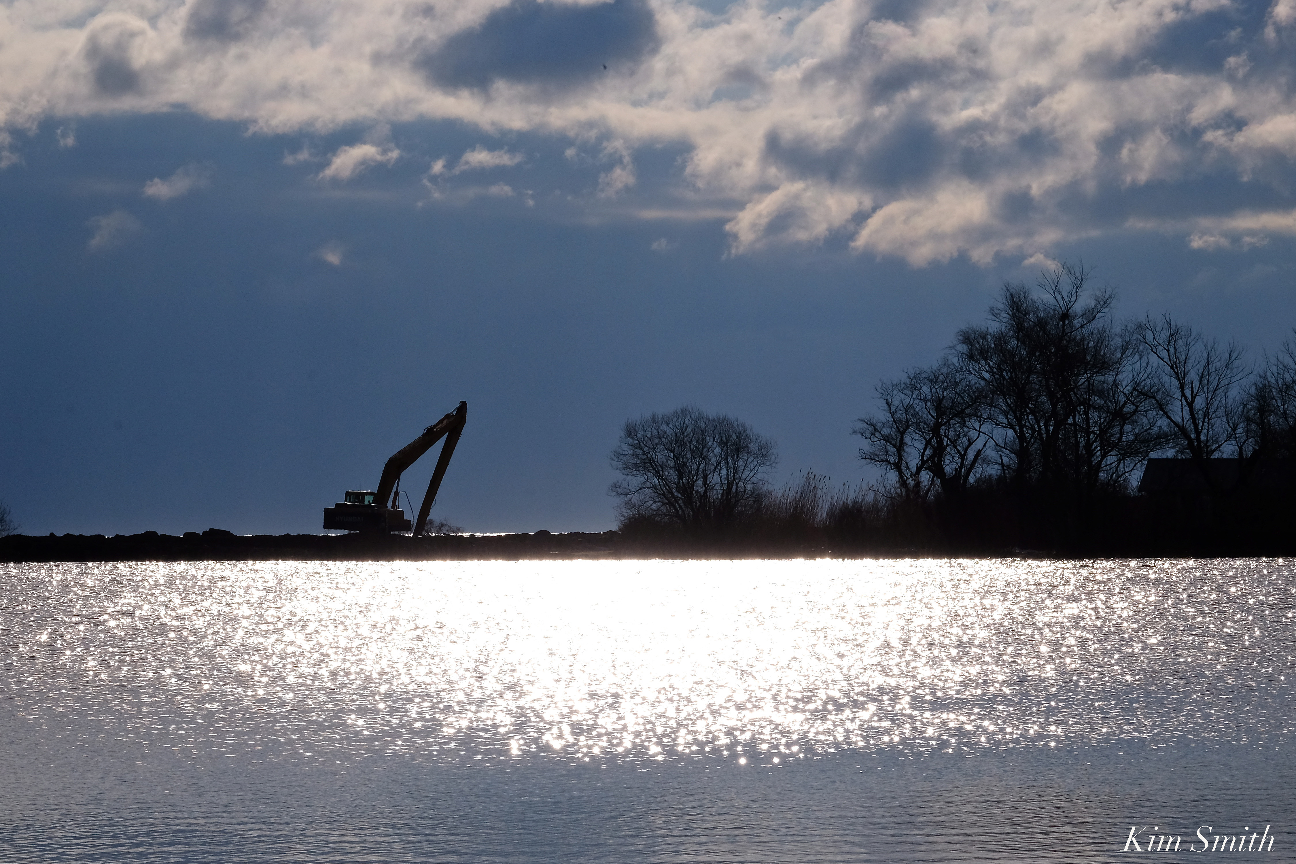 The arduous work of rebuilding the Niles Pond Brace Cove causeway continues, despite the mid-week blizzard. I walked the causeway Tuesday night and then again the past several mornings–the pace of the restoration is fantastic and will soon be completed. Many, many thanks to the generous residents of Eastern Point who are striving to keep Niles Pond from being engulfed by the sea.
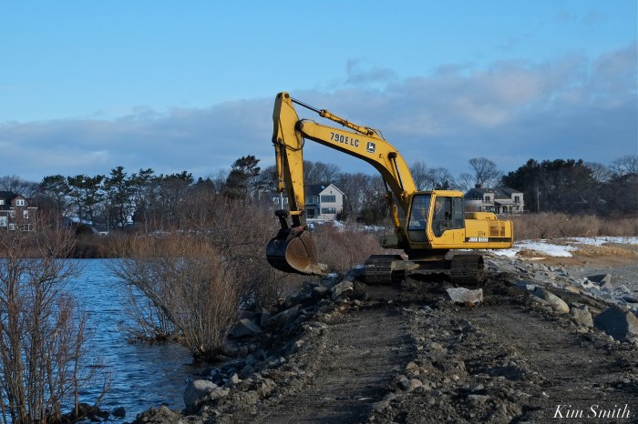
R. B. Strong’s Larry expertly operates the John Deere excavator, deftly extracting and moving boulders around as if they were pebbles on the shore. The track-hoe not only scoops and lifts the massive rocks, the bucket is also used to tamp down the boulders once in place, as you can see in the video below.


 Eastern Point
Shoreline, home, and garden have been hard hit by the third nor’easter to take place this March. The waves and spindrifts were magnificent, taking a short drive around the back shore this morning, but it was difficult to observe the further damage to coastline habitats.


https://www.instagram.com/p/BgRAObpn5_X/

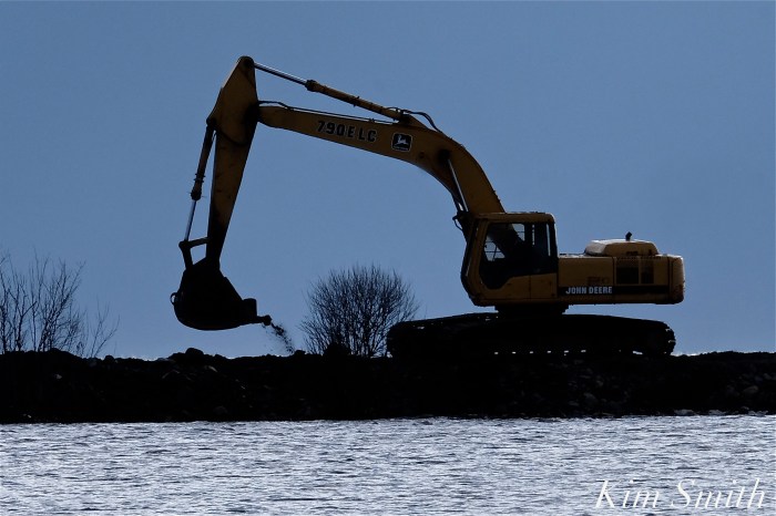
 With the third nor’easter to hit our shores during the month of March expected to arrive tonight, track-hoe excavator Larry shares that the work continued today to fortify the causeway, and to possibly get more water to flow through the clogged drain that is preventing excess water from leaving Niles Pond.
For our readers general information, the cost of the repairs, restoration, and continued ongoing maintenance of the causeway, and surrounding area, are paid for entirely by the generous residents of Eastern Point, not tax payer dollars.
https://www.instagram.com/p/BgOc1uoncPA/

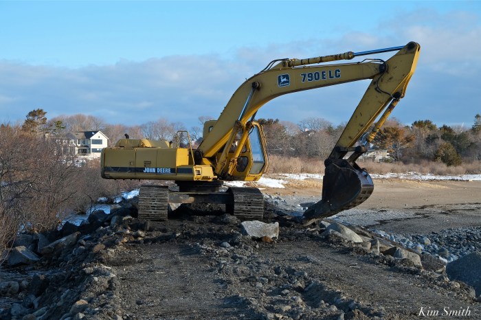
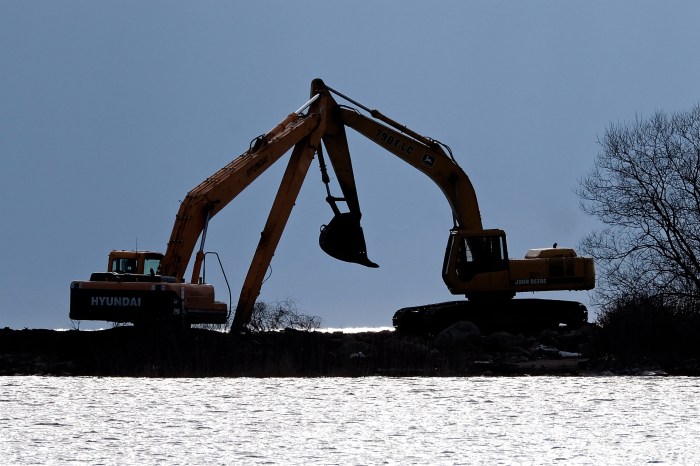
 Large track-hoes (excavators) are needed to repair the damage done by the March nor’easter storm known as Riley.

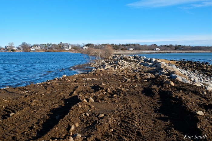

 The narrowest slip of land between a body of fresh water and the sea.
 Native pussy willow trees survive storm after storm after storm after storm. More pussy willows, as well as other deep-rooted natives, need to be planted to help with the unending erosion.
 Niles Pond water overflowing the bank and littered with debris swept in by the sea.

https://www.instagram.com/p/Bf7CK96lzfT/
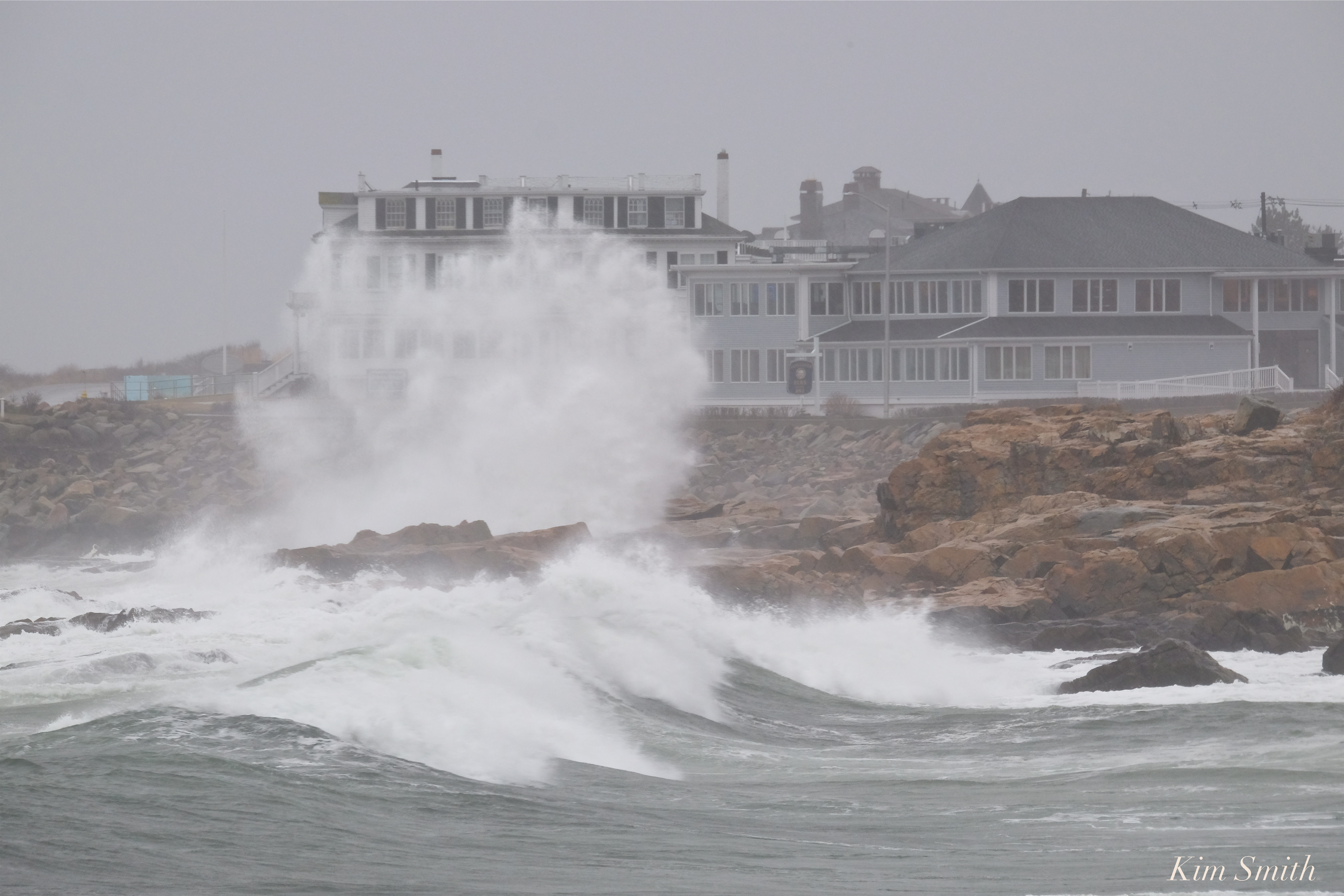
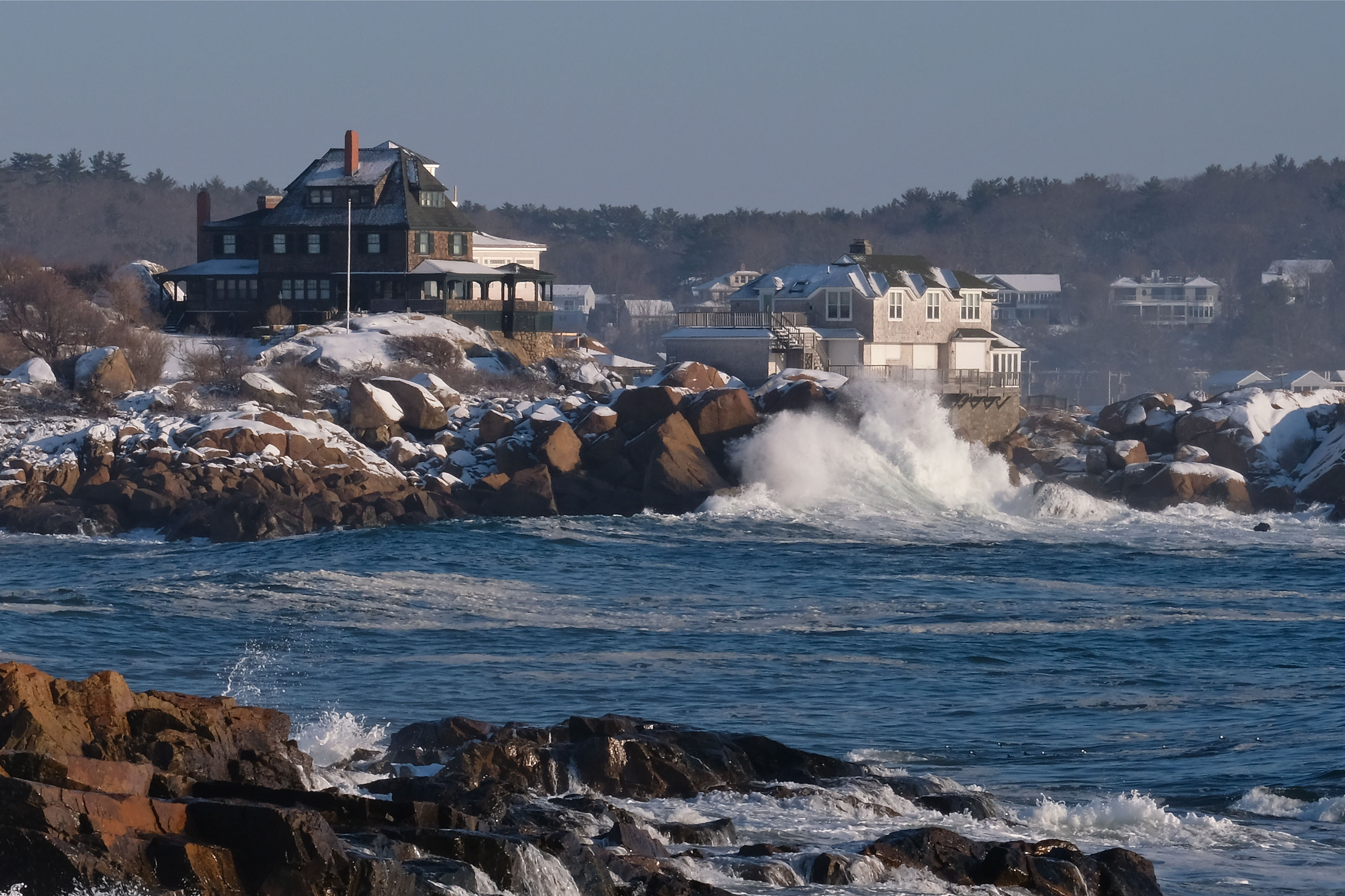
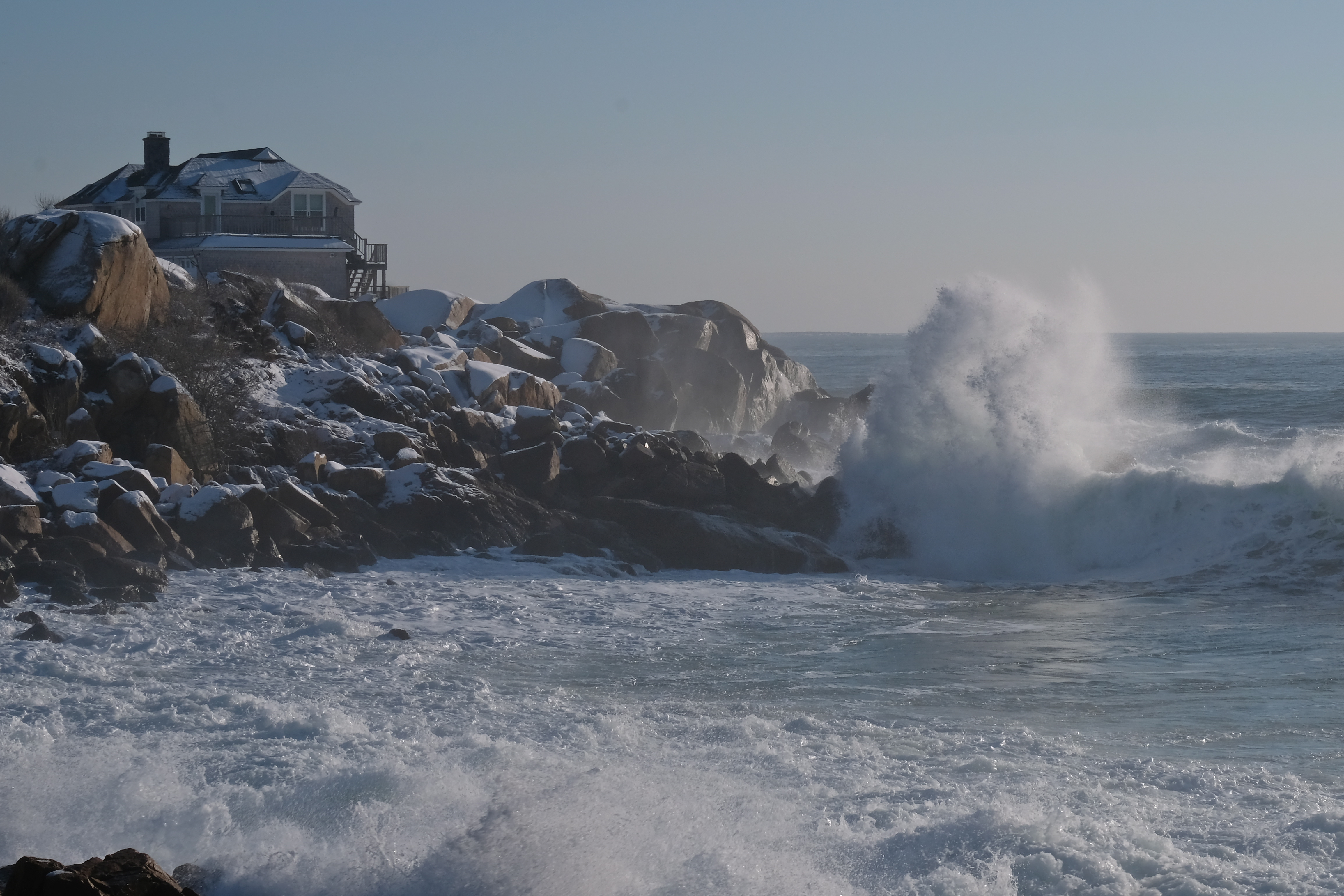
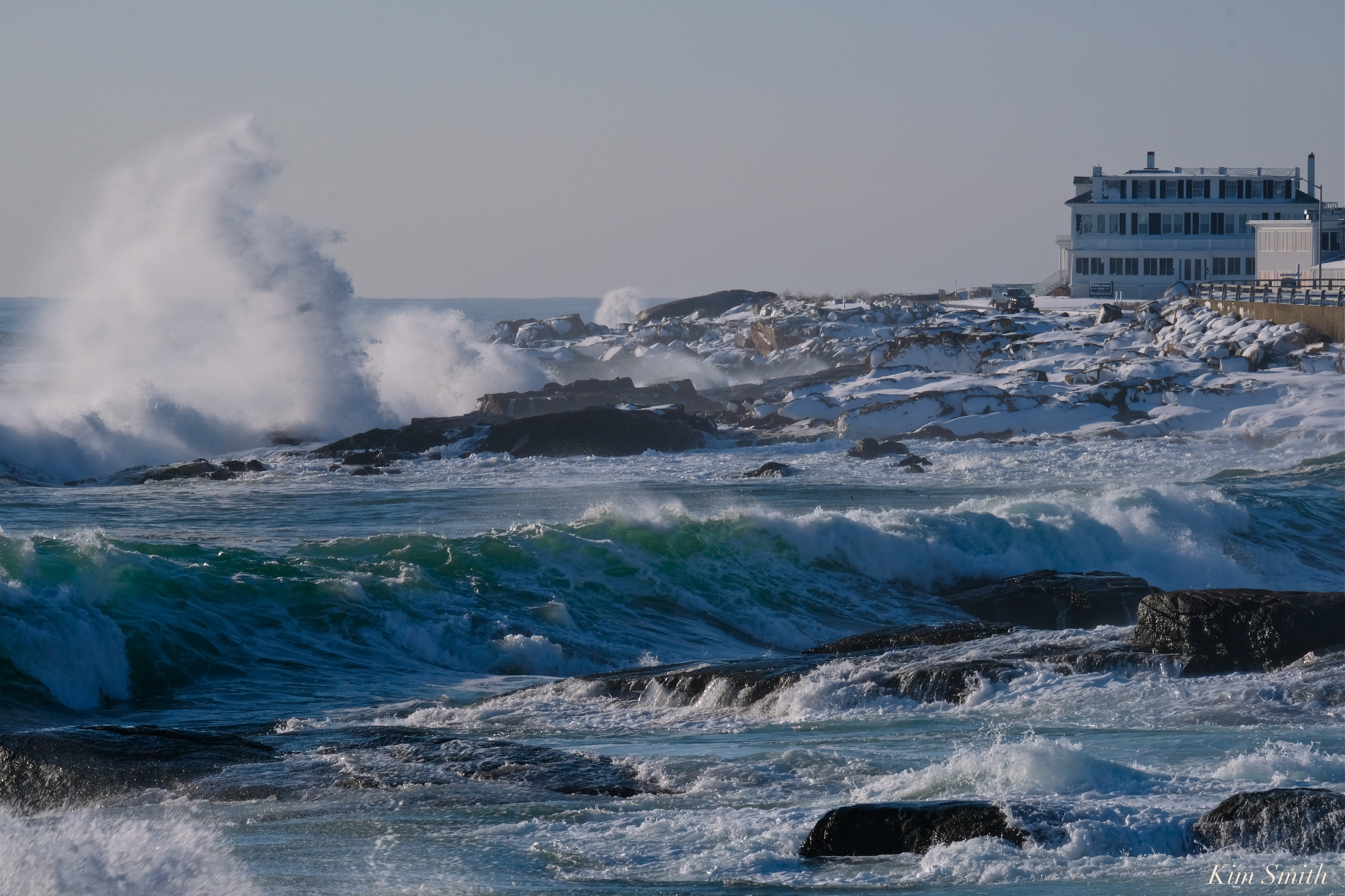
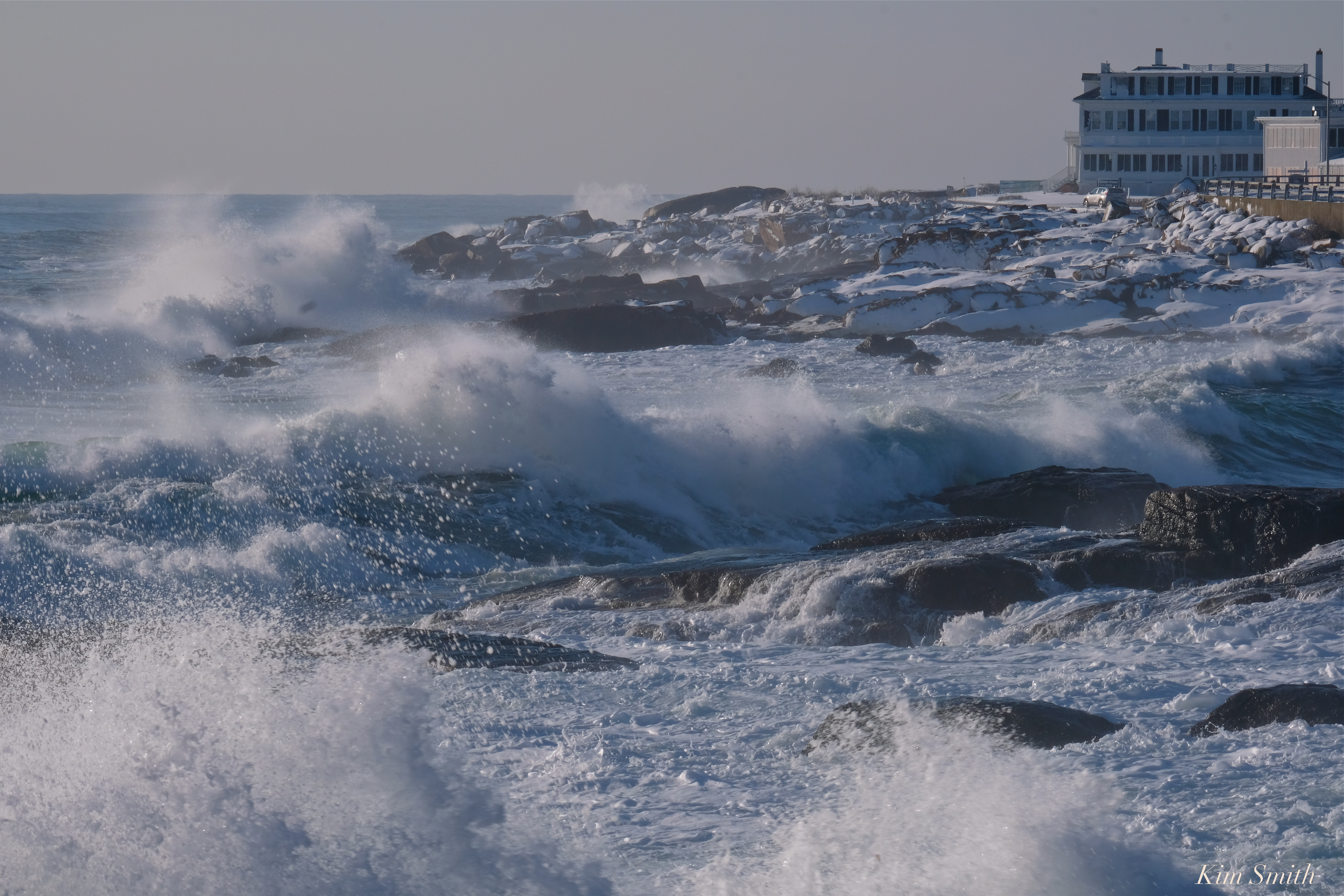
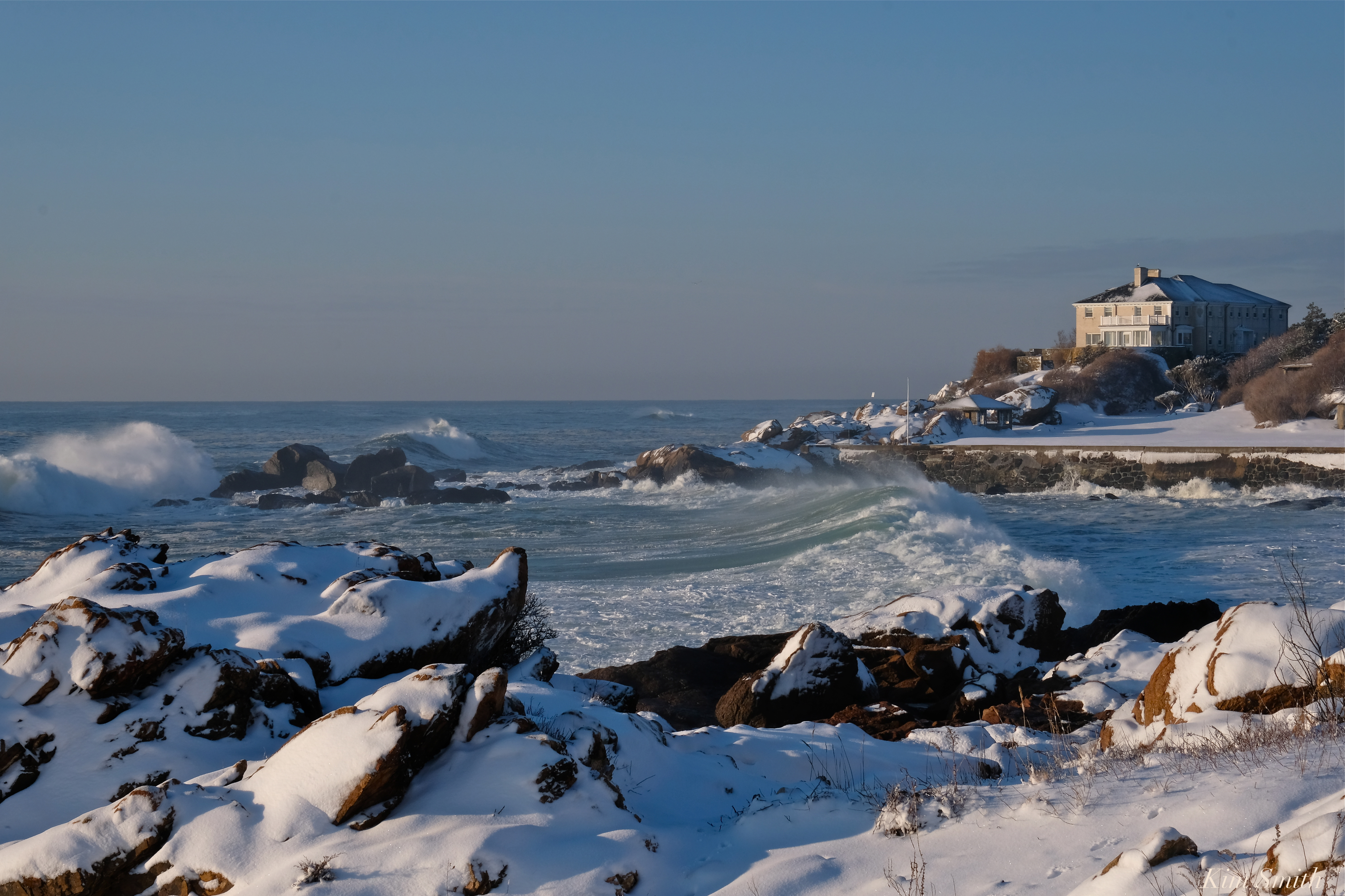
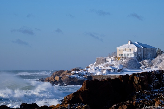
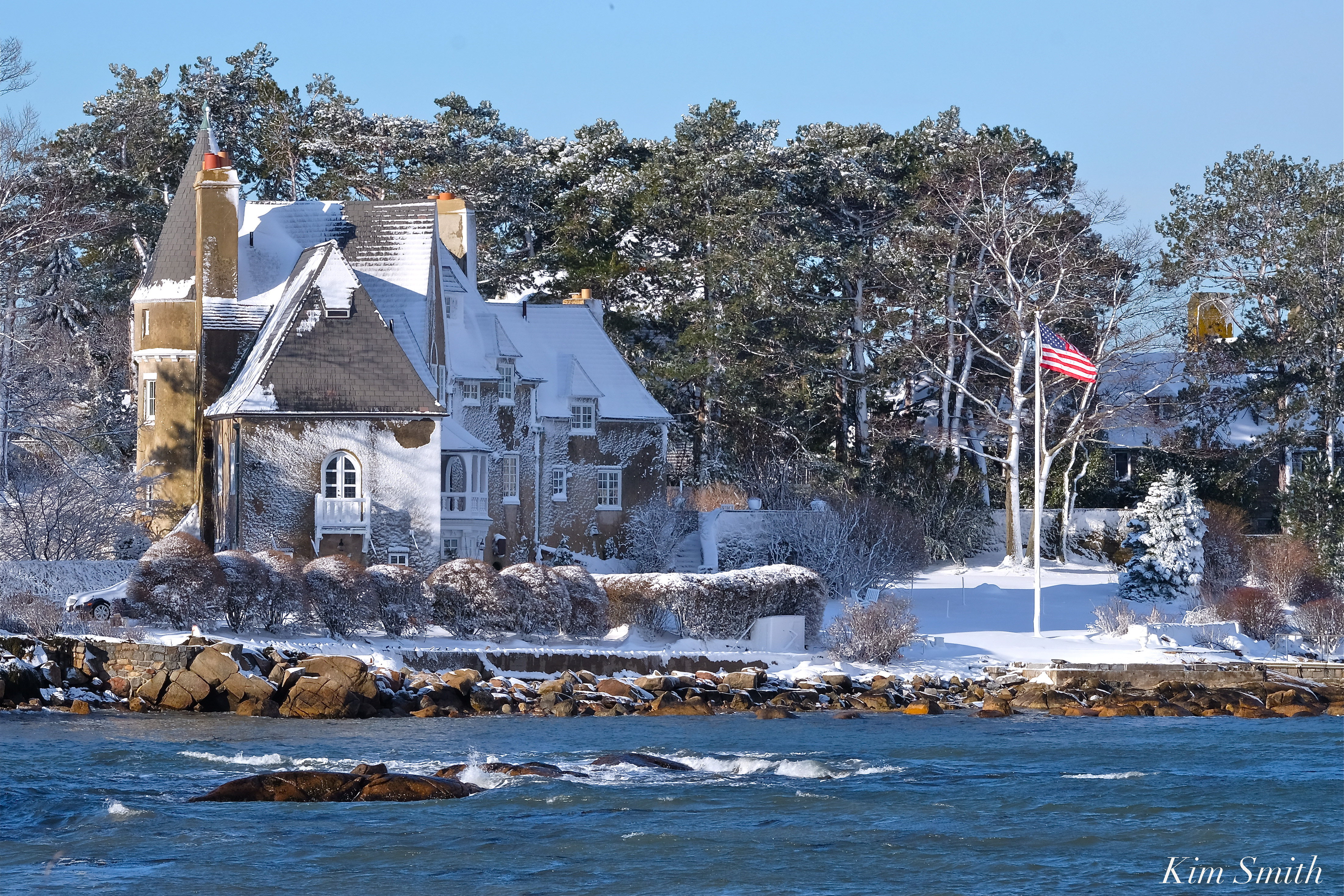
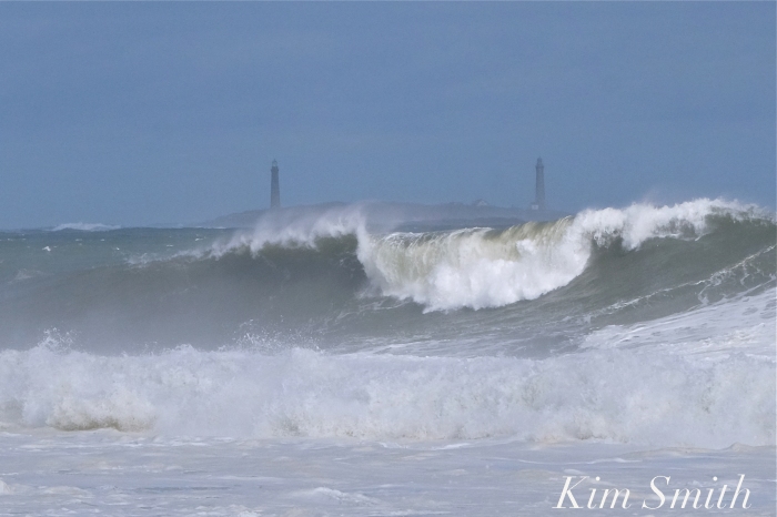
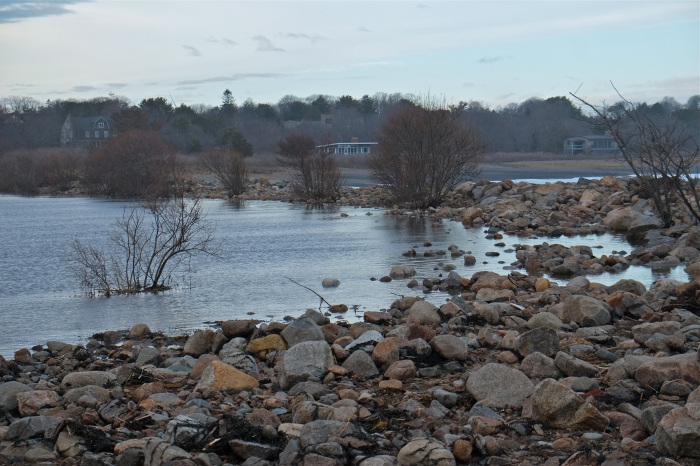
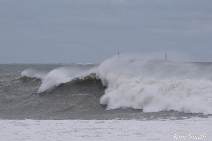
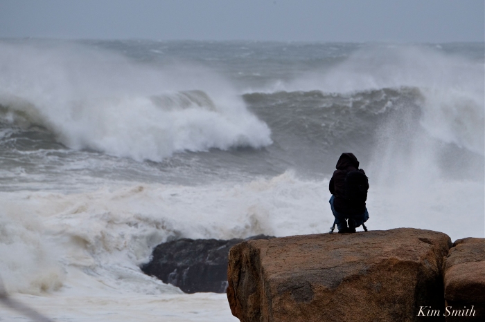
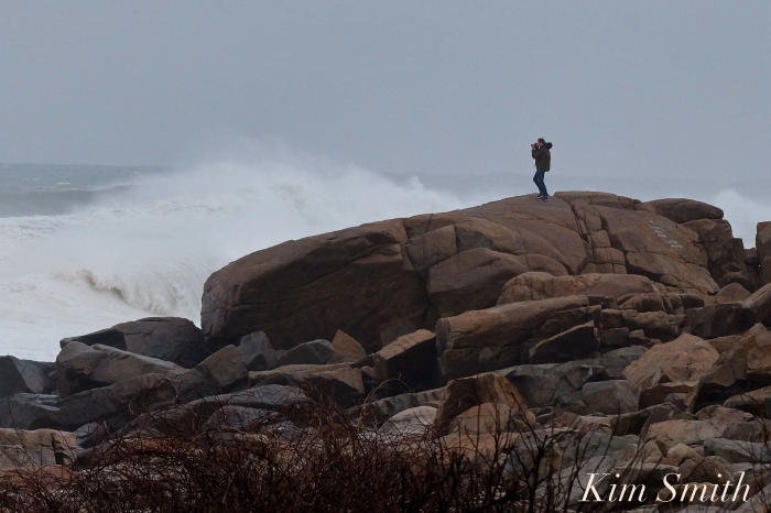
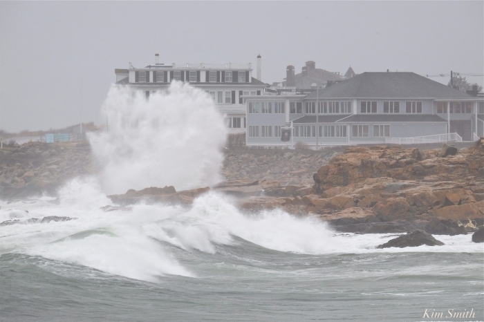
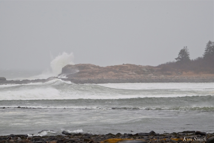
The best wave watching Sunday afternoon was from Atlantic Road, especially when the light turned silver-gray-violet. The mist from the pounding waves filled the air, creating a beautiful diffused quality. It was mesmerizing to see the waves hurling against the rocky coastline. Often the force was so loud, it sounded like a sonic boom had exploded. Atlantic Road was closed to car traffic while pedestrians strolled the road as though a promenade. After watching the full force of the waves during high tide, I headed over to Straitsmouth Island in Rockport. Less in strength, but still spectacular to watch.


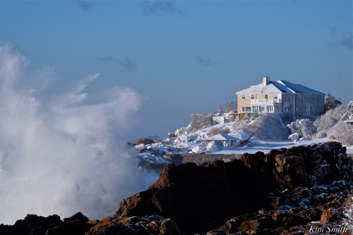
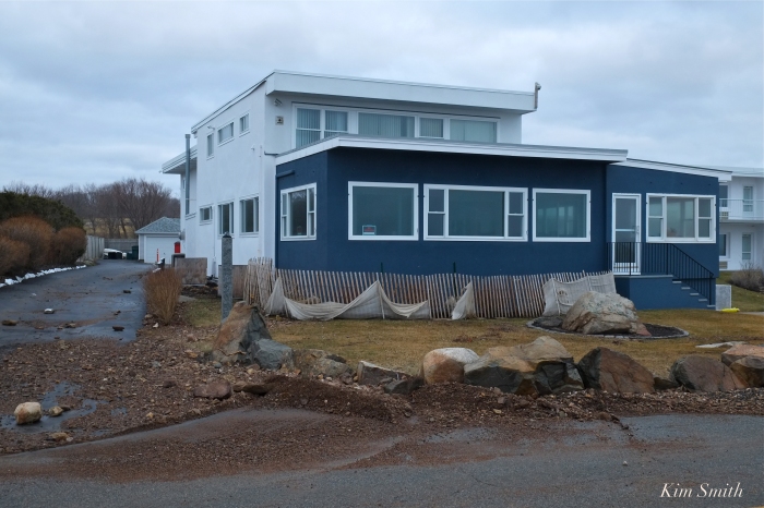
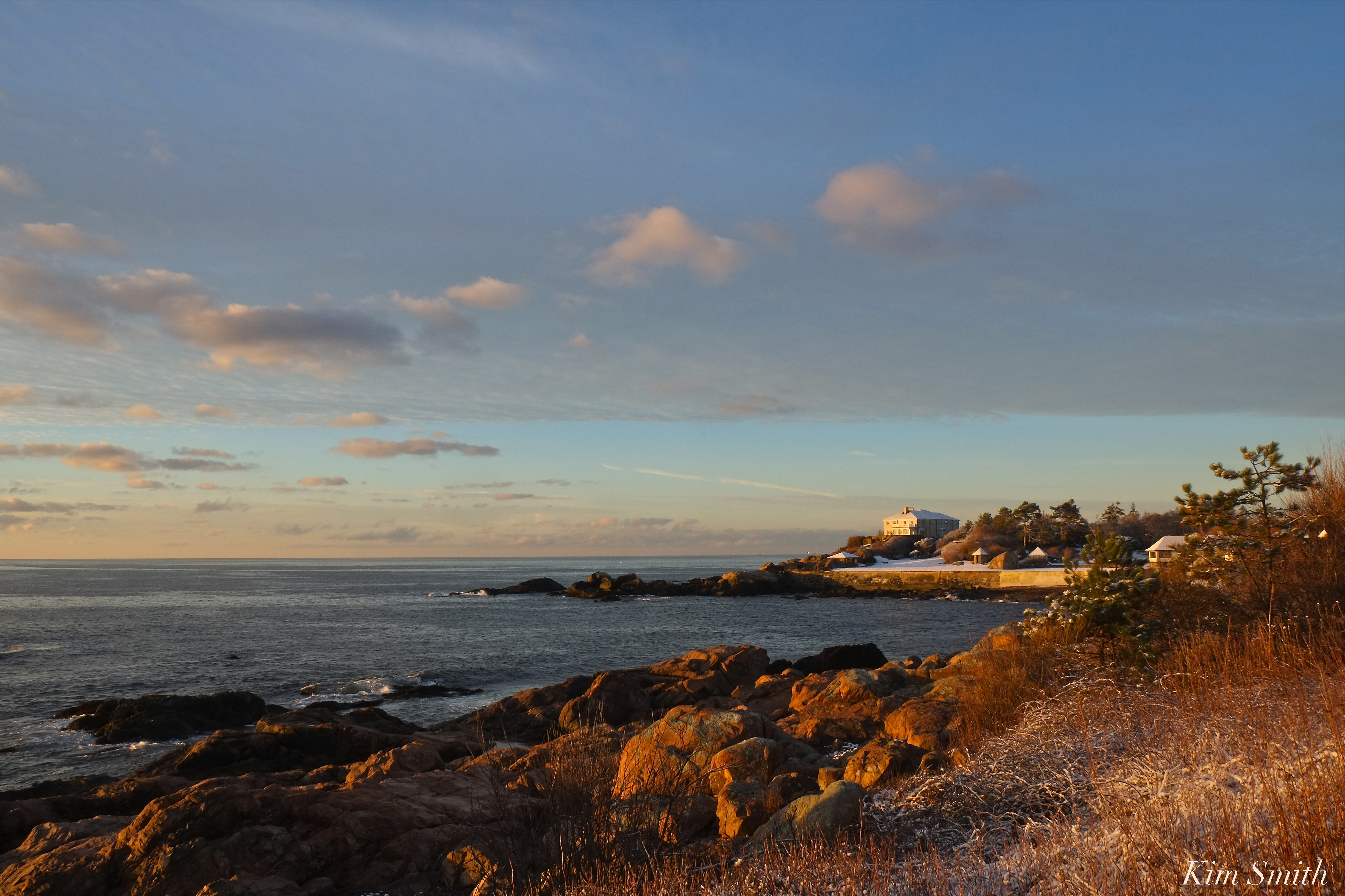 Atlantic Road estate, after a relatively mild storm last week.
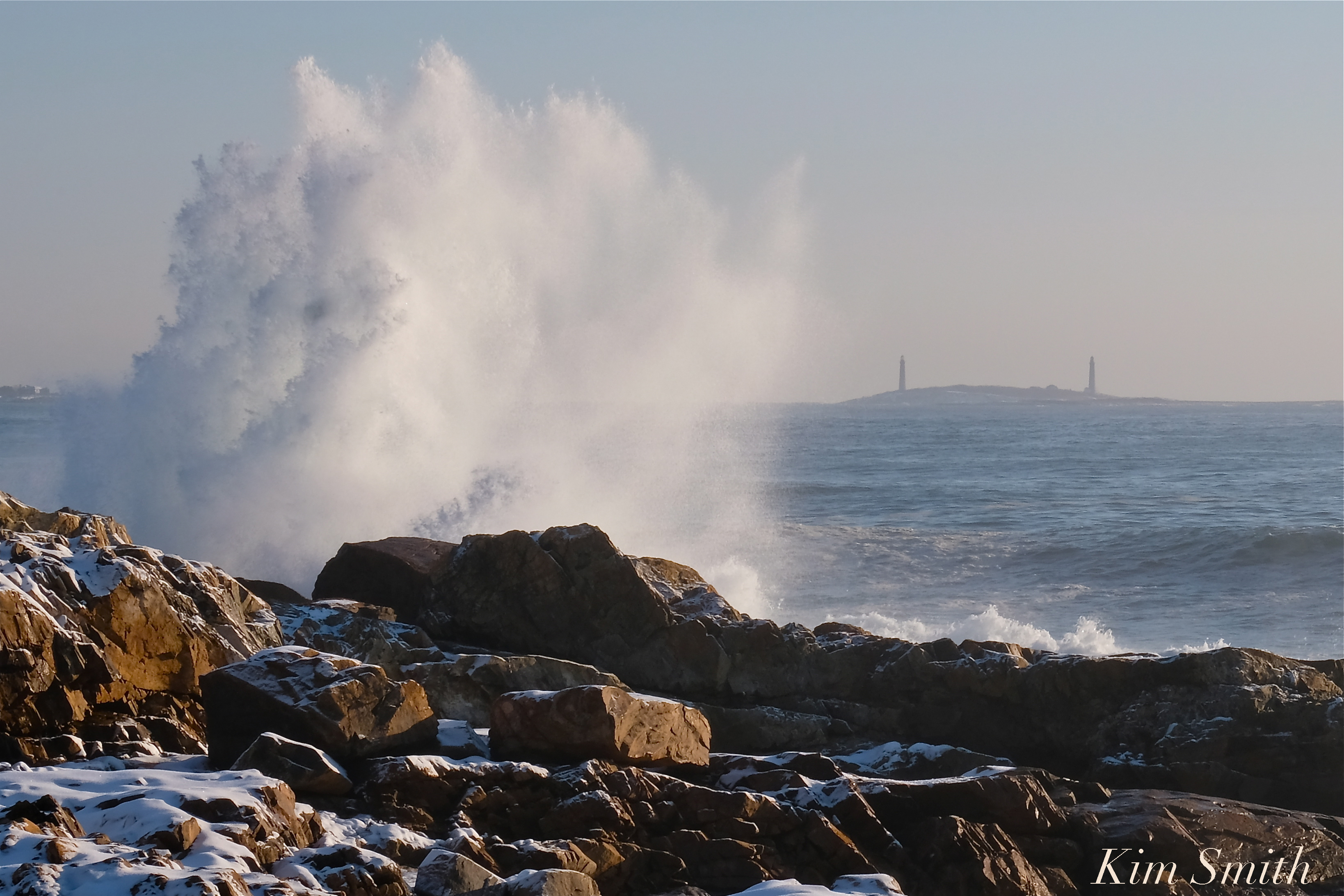
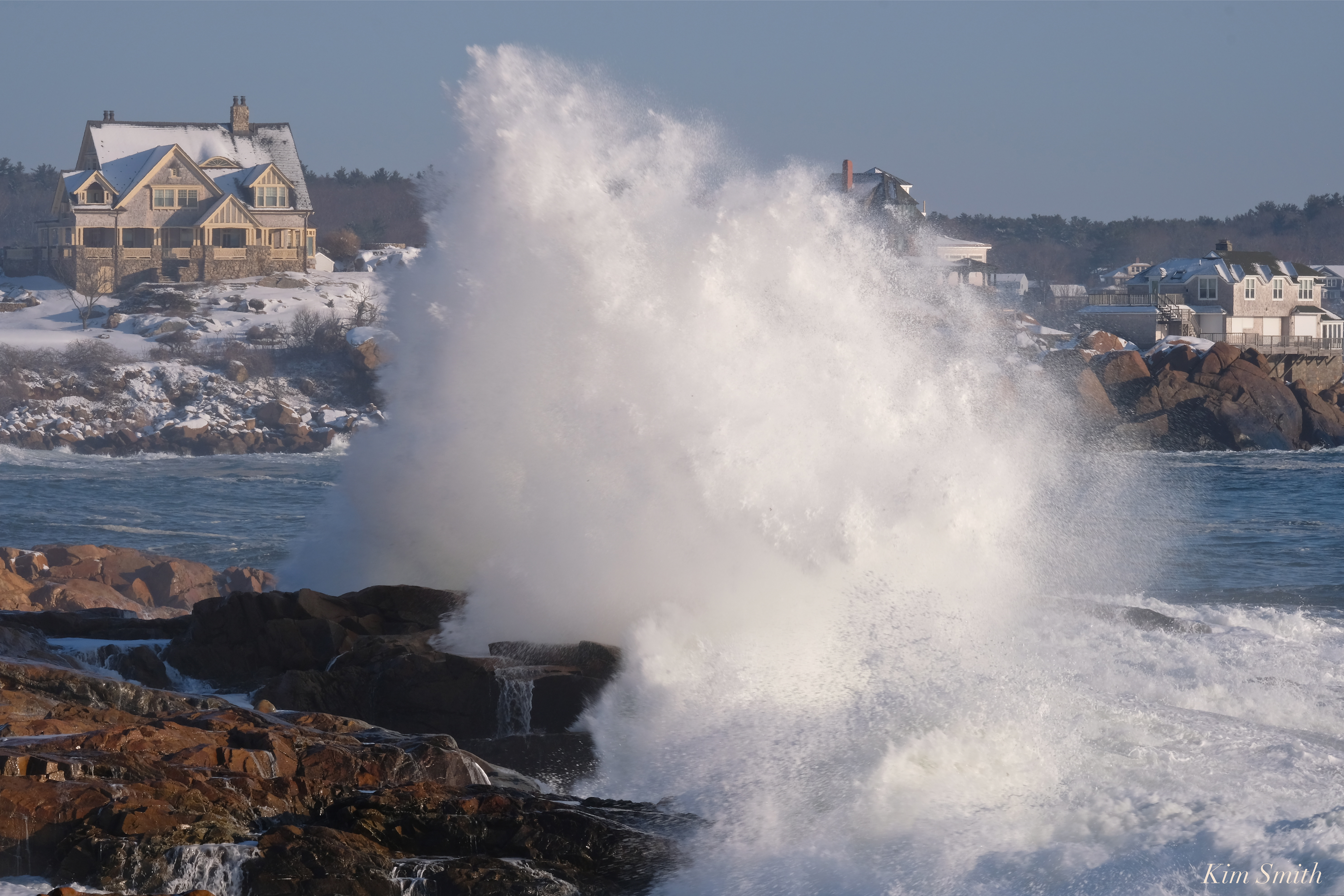
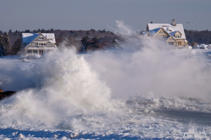
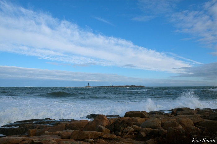
 Sunday afternoon, after March Nor’easter Riley.

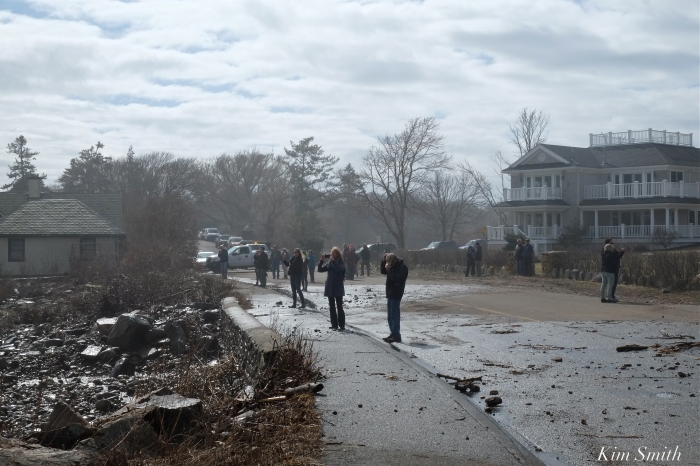
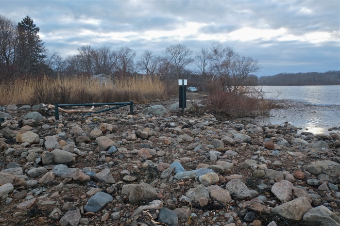
 After filming the explosive waves on Atlantic Road yesterday afternoon for various documentary projects, I headed over to Henry’s Pond to check on Mr. Swan’s whereabouts. Expecting to see and film some damage to the road that divides Henry’s Pond and Pebble Beach, which often occurs after storms, especially nor’easters, I was completely overwhelmed by the destruction found at Pebble Beach. The road is gone; the worst I have ever seen, and I couldn’t make it to the Pond because it was simply too dangerous to climb over the slippery, jiggley rocks and seaweed.


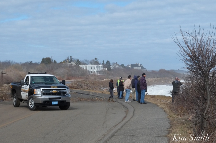
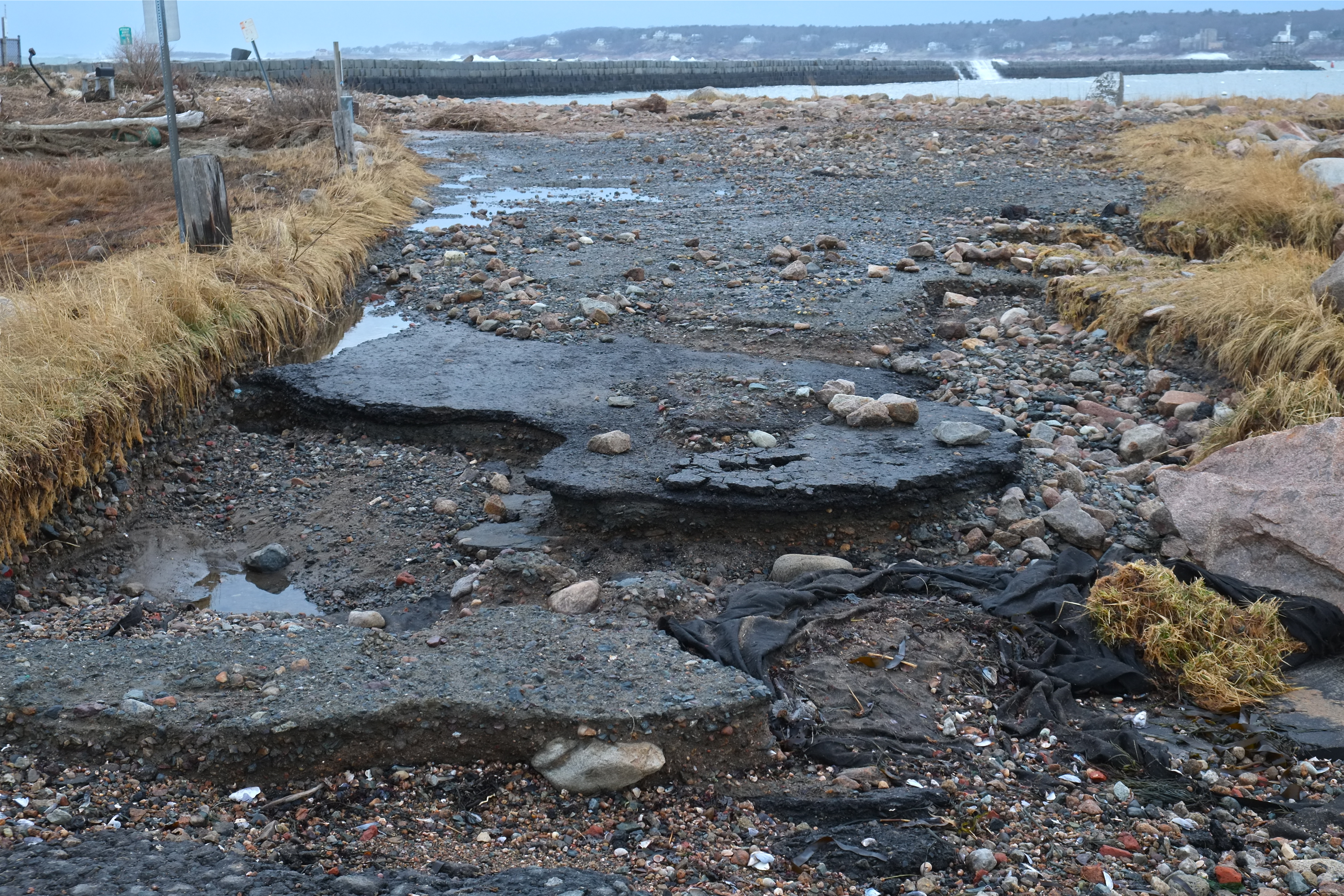 It appears as though the Eastern Point Lighthouse parking lot and road were hit with surges from both the harbor side and from the Atlantic, washing away the road and leaving the area littered with surge debris, mostly rocks, seaweed, and seagrass. The storm drain, which formerly ran under the road, is now completely exposed. At low tide early this evening, the marsh was still completely flooded.
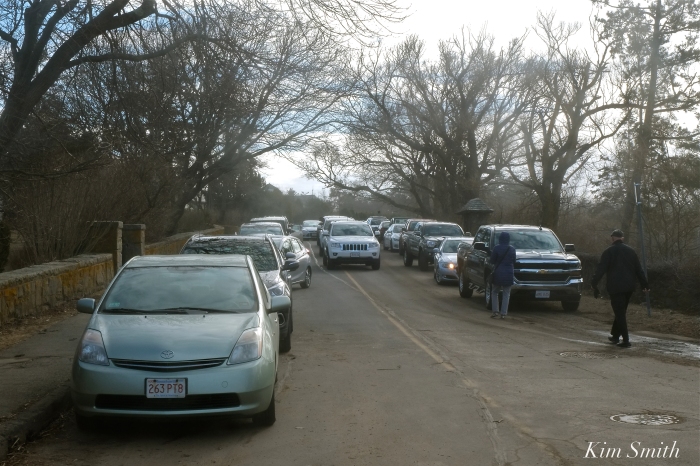
If you are planning on checking on the EPLighthouse, park your car and walk. Several folks got stuck as there is nowhere to turn around under the current conditions.

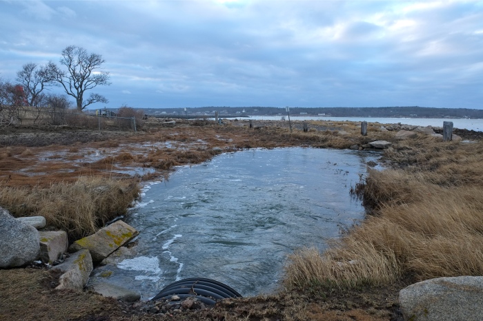


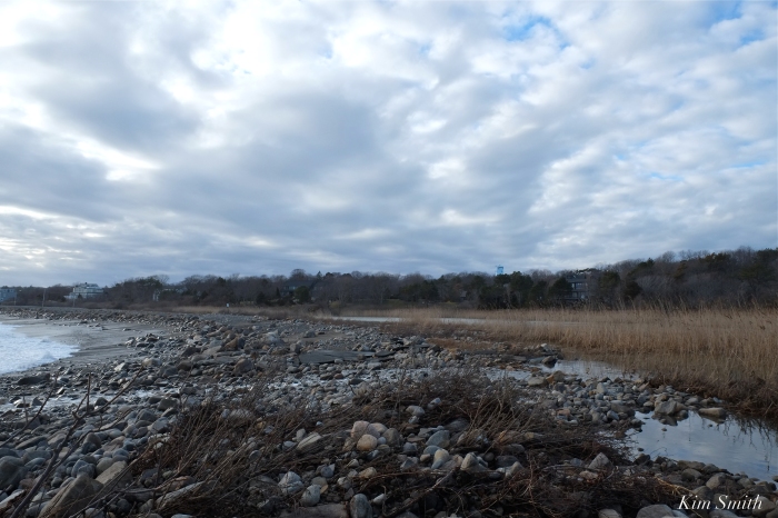
Flooded marsh
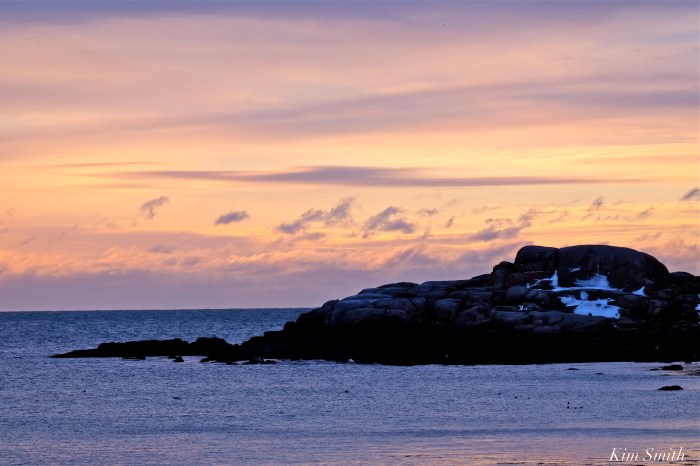
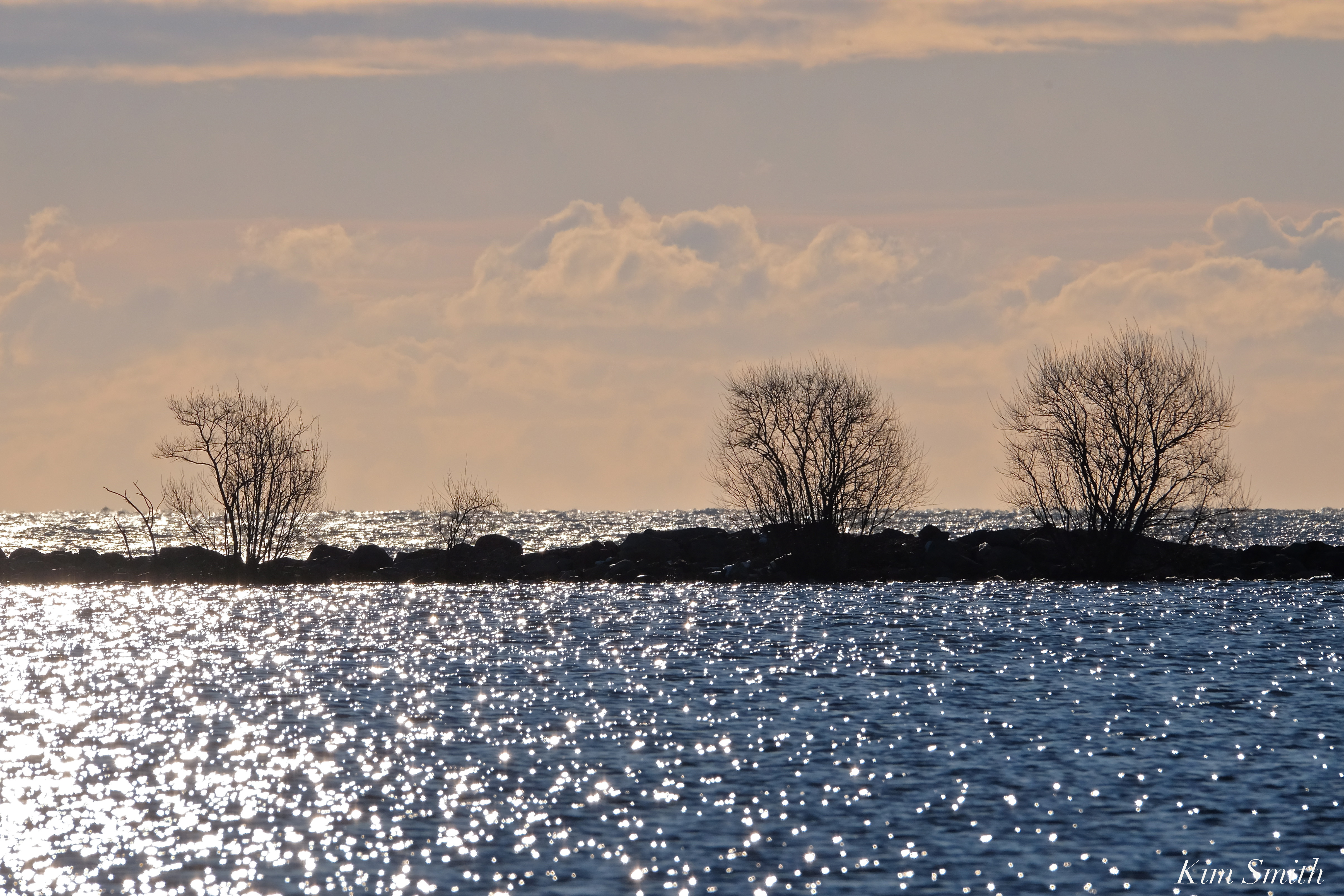
 Storm clouds lifting

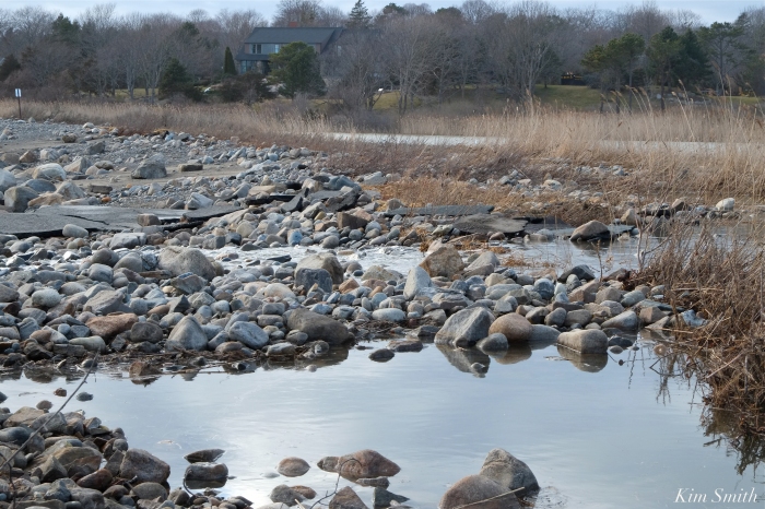
The beautiful newly constructed causeway that separates Niles Pond and Brace Cove, which was rebuilt several years ago, is now a jumble of rocks and boulders. Niles Pond Road is narrowing from the sea water surging into the Pond. The water has nowhere to go. The road to the Retreat House is impassable. The destructive force of climate change is rearing its ugly head in our own backyards and a fifth super high tide is expected again tonight. 


https://www.instagram.com/p/Bf61crQFsmc/

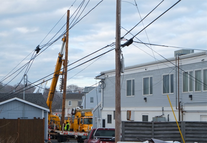
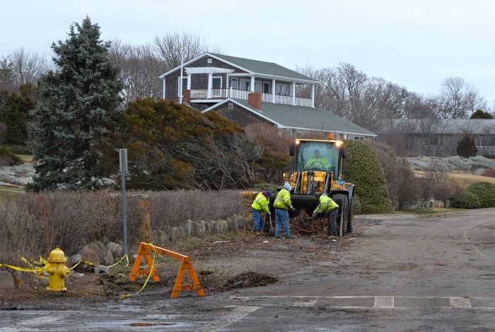
Power line repair crew replacing a downed phone pole behind the Elks at Bass Rocks.


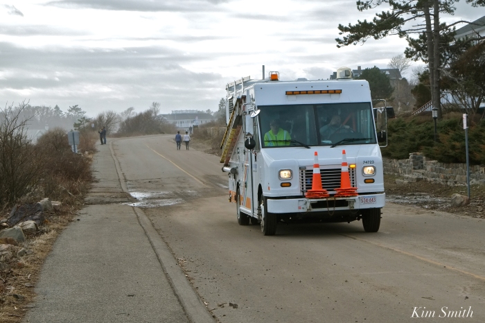
 Last night’s fourth super high tide in two days again brought an incredible surge of seawater. Gloucester’s DPW Marco Numerosi was working last night at 2am and reports it was the worst of all. DPW crews and GDP Officers were on the job bright and early this Sunday morning, cleaning the roads of hurled rocks, popples, seaweed, and seagrass.
Officer Al D’Angelo and Marco Numerosi
Eastern Point Road, by Bemo Street, still littered with debris at 8am, is closed, and virtually impassable. One driver tried, and then quickly changed his mind.
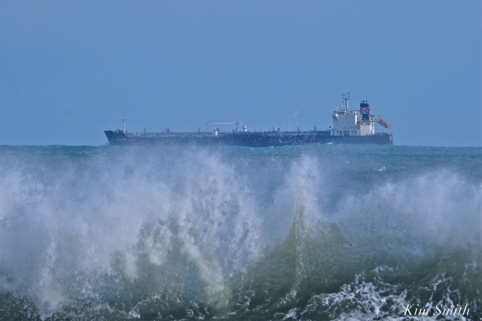
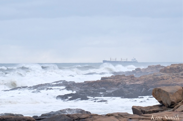
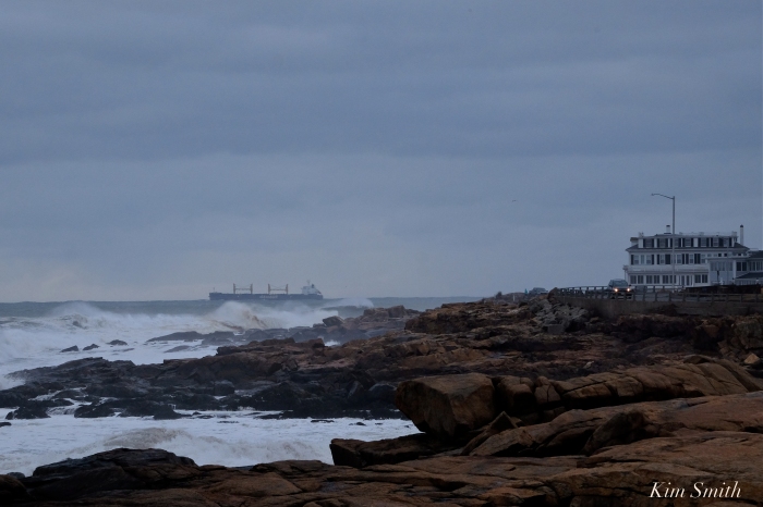
This morning photographing and filming at 6:30 you would not believe it was dead low tide. There is so much water and I am afraid the next tide will bring with it another round of destruction. The waves are towering; a large ship, the Oldendorff appeared to head straight out and then steered closer to shore. Stay safe and warm friends.


 Still no sign of our Snowy

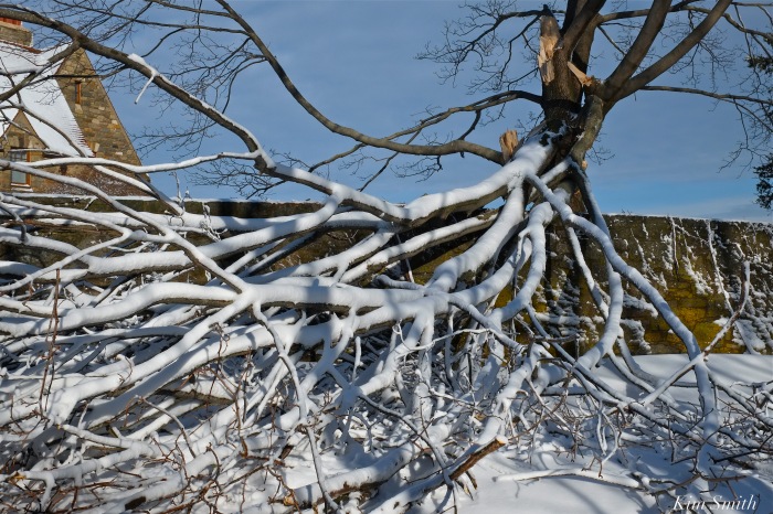
Popples and debris are littering Atlantic Road, the footbridge sustained damage to the last half, fences and trees are down throughout the neighborhood, and the seas are gaining in ferocity, with the third of the super high tides expected at noon. Please be safe, the wind is mighty powerful this morning and their are potential projectiles everywhere.
 Good Harbor Beach Footbridge damaged.
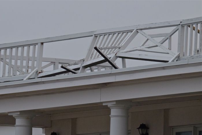


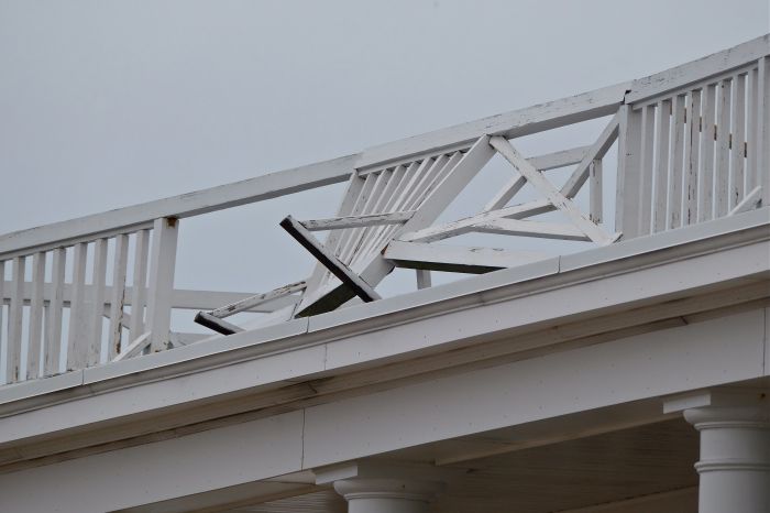

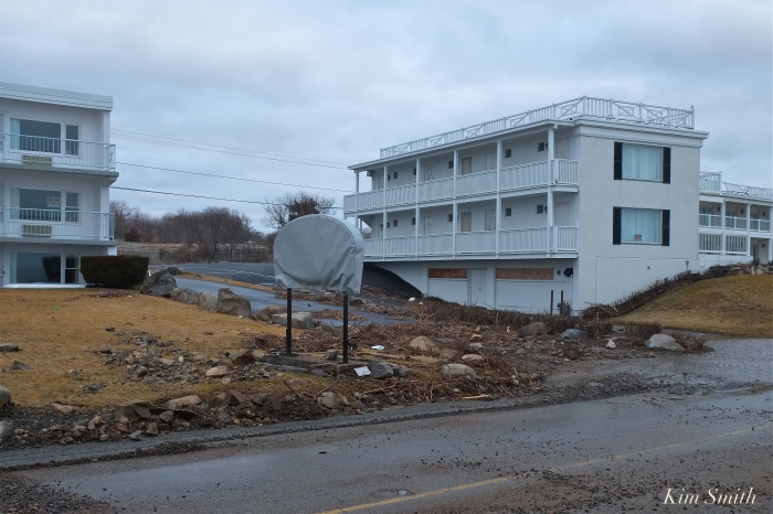
Extensive damage to the railings at the Ocean House Inn, our Snowy Owl Hedwig’s current favorite perch. No sign of her the past few days, but Hedwig is so resourceful, we are hoping for the best.

Meteorologists predict flooding from Nor’easter Riley could be the worst in Boston’s history. The storm is strengthening and the waves were much bigger this afternoon as the tide was going out. Be safe friends. The Good Harbor Beach Footbridge is intact at 4pm, despite mid-day flooding.


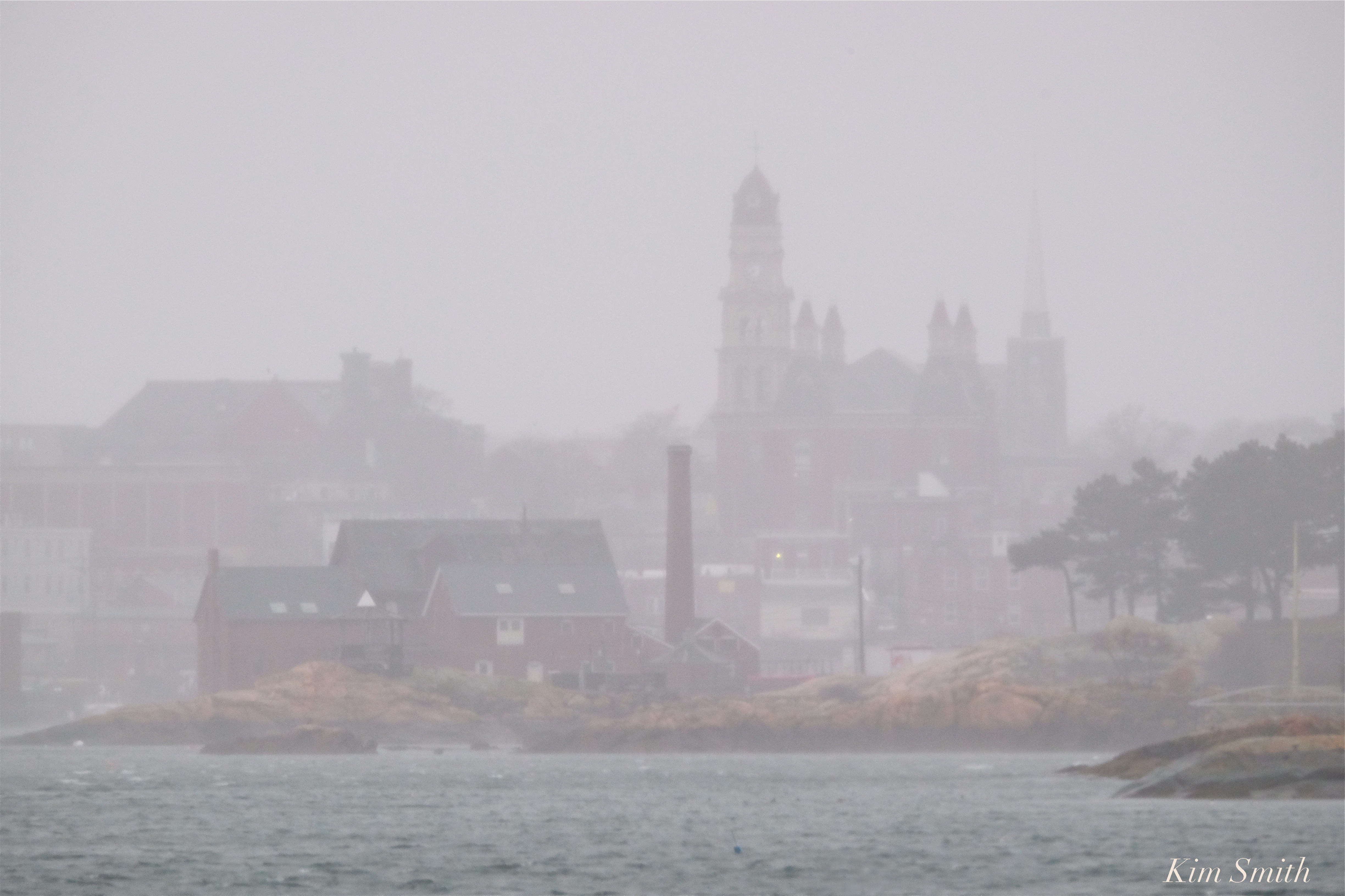 City Hall and the Paint Factory March Nor’easter Riley
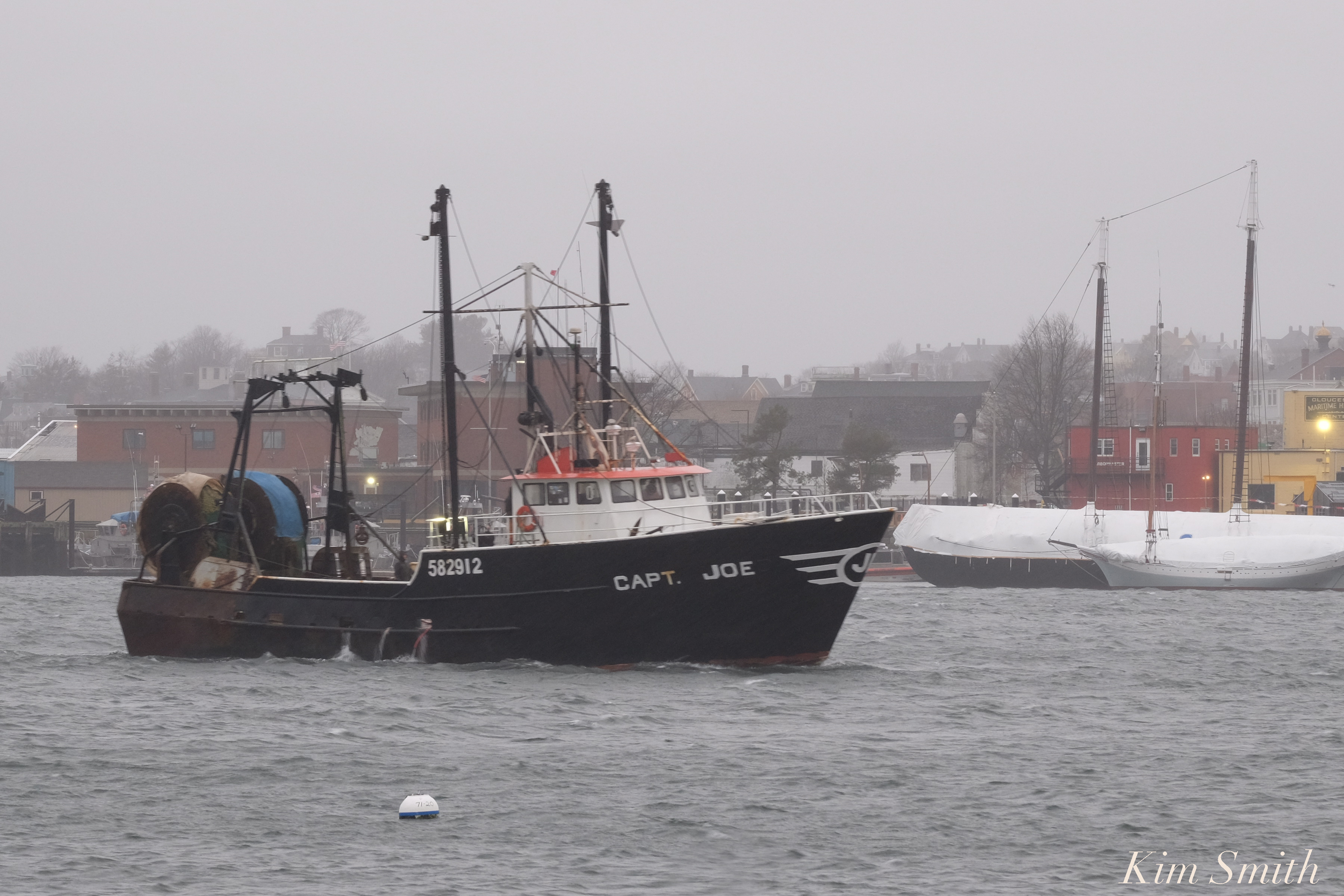 FV Capt. Joe leaving the Marine Railways and heading for the State Fish Pier at daybreak.
 Just another day for a pair of male and female Common Eiders