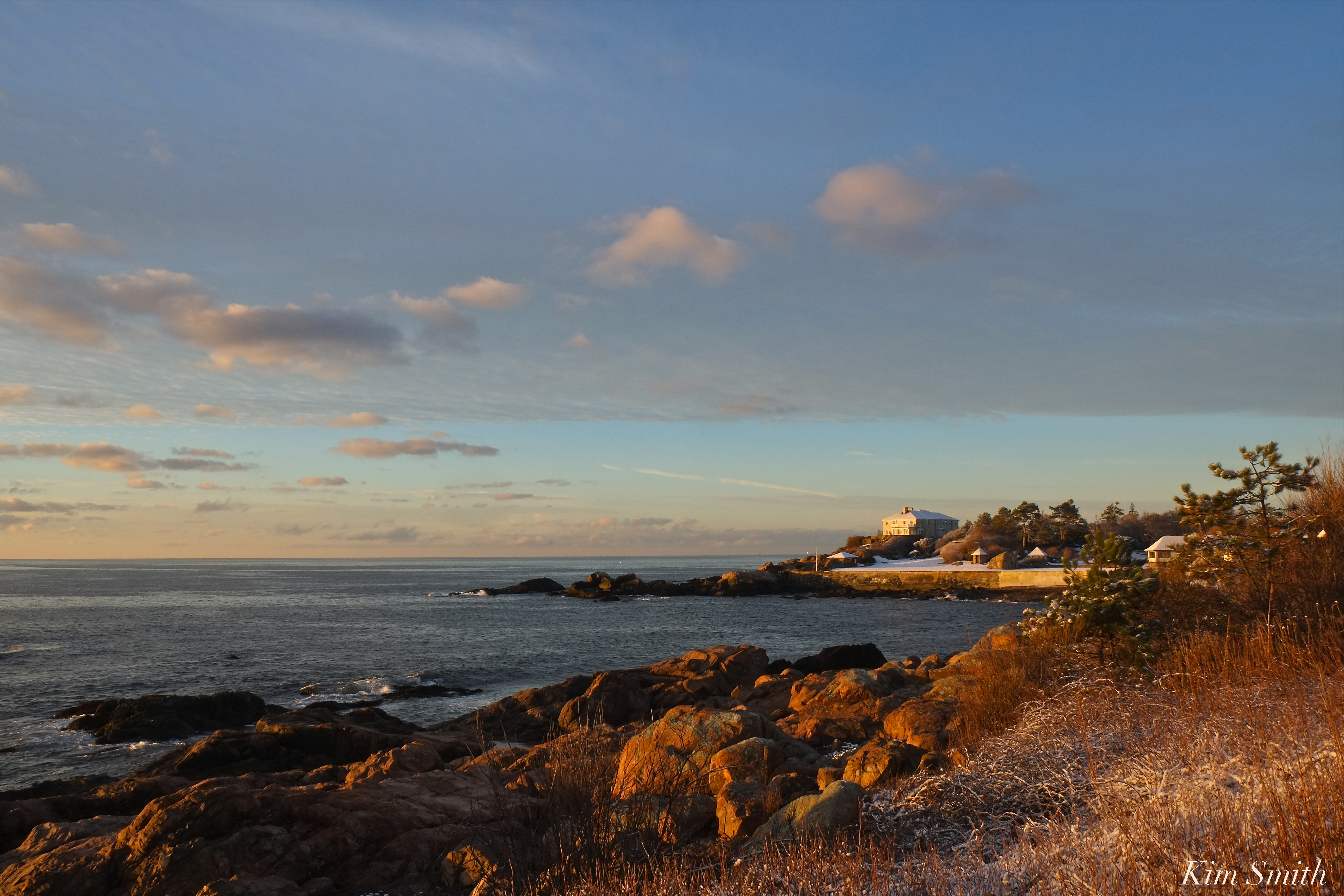
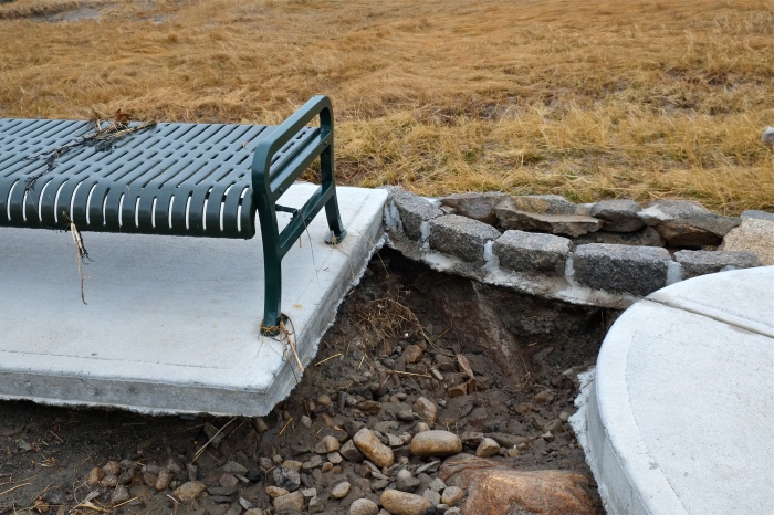
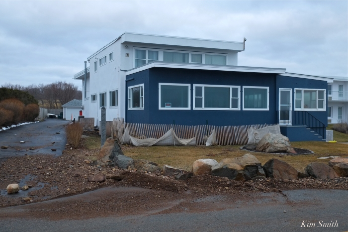
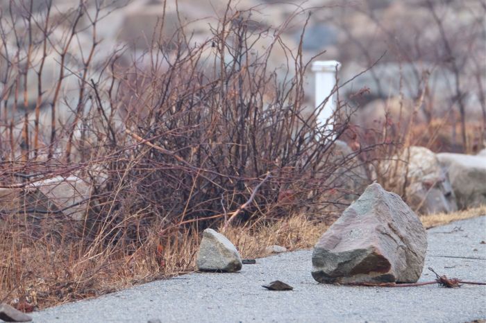
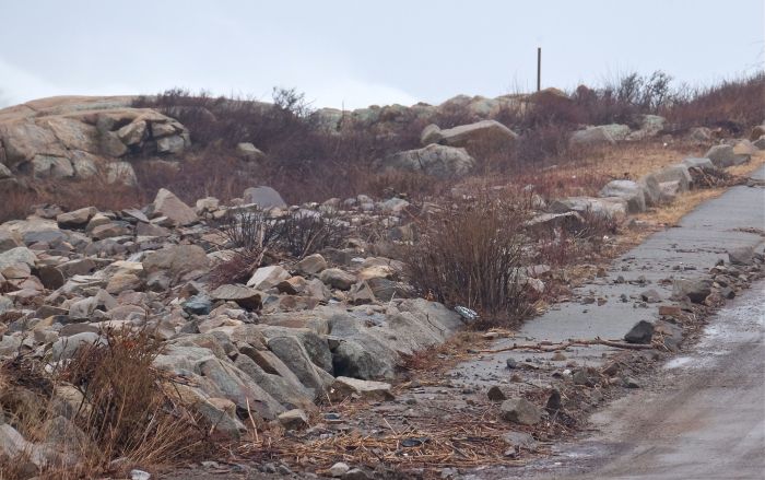
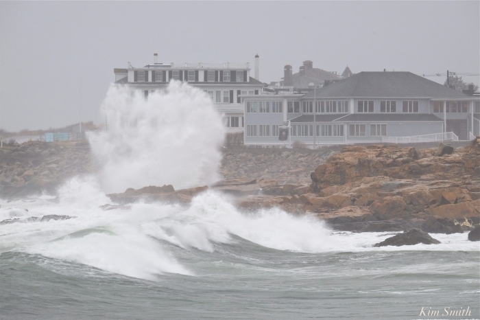
 Atlantic Road estate, after a relatively mild storm last week.
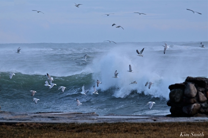
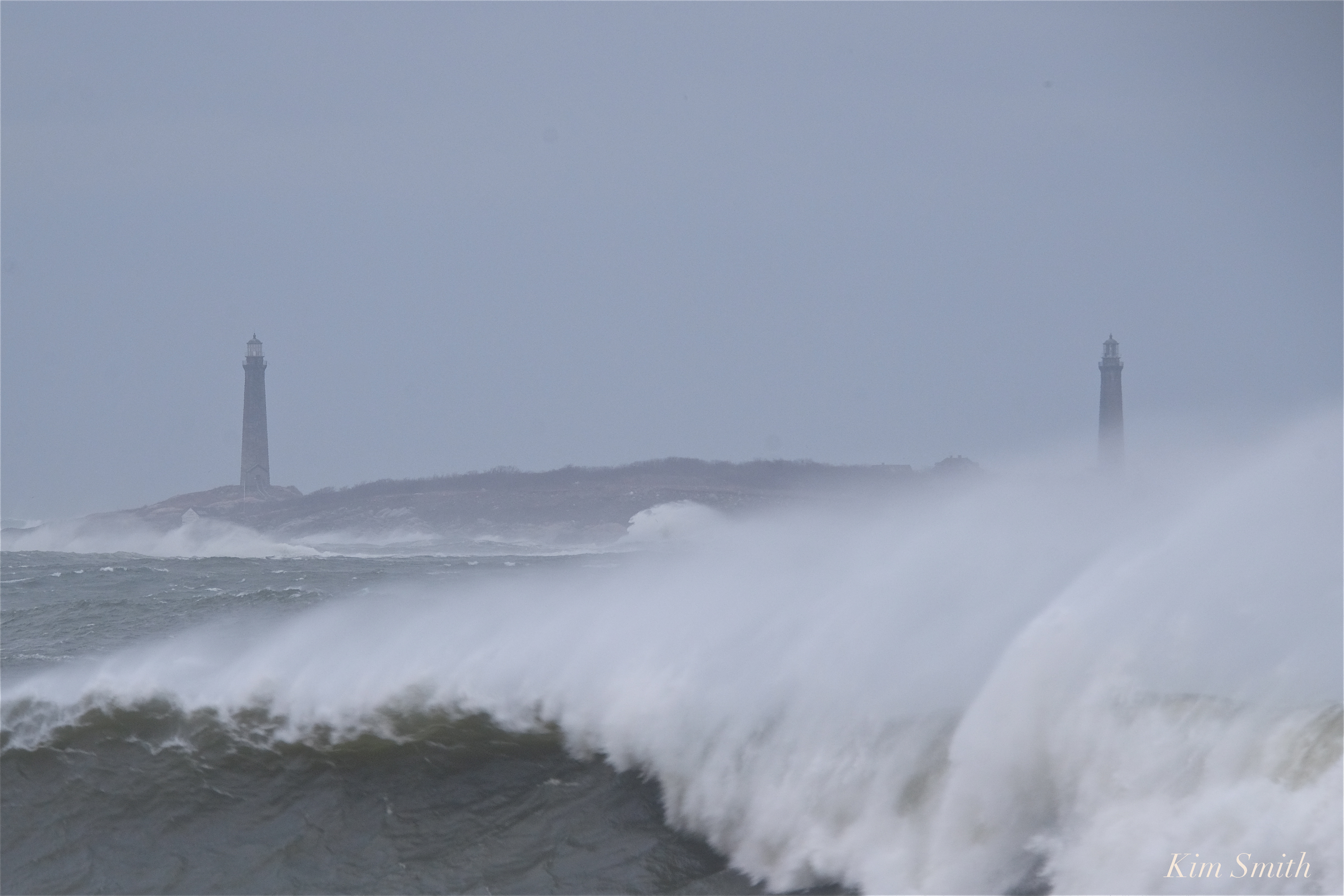
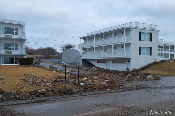
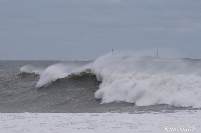
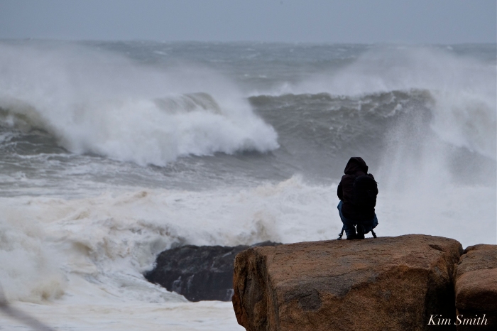
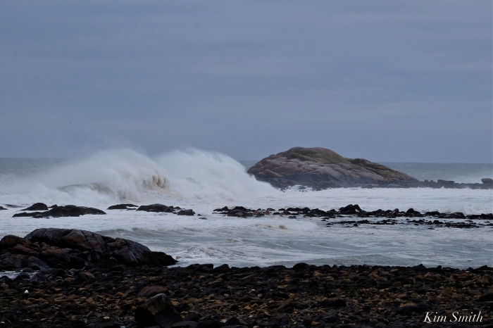
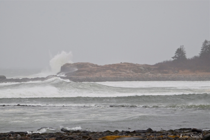
 Sunday afternoon, after March Nor’easter Riley.
My View of Life on the Dock
Atlantic Road estate, after a relatively mild storm last week.
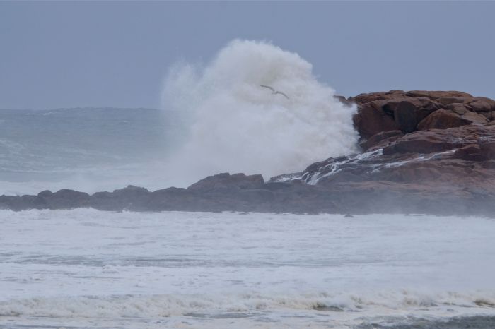
Sunday afternoon, after March Nor’easter Riley.

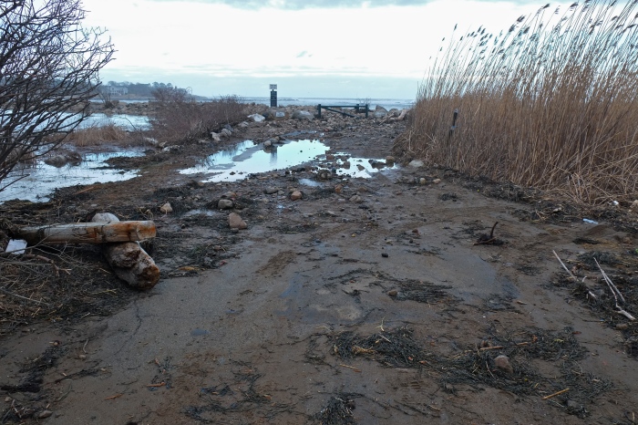
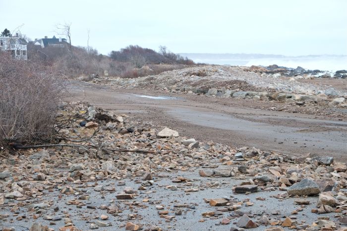
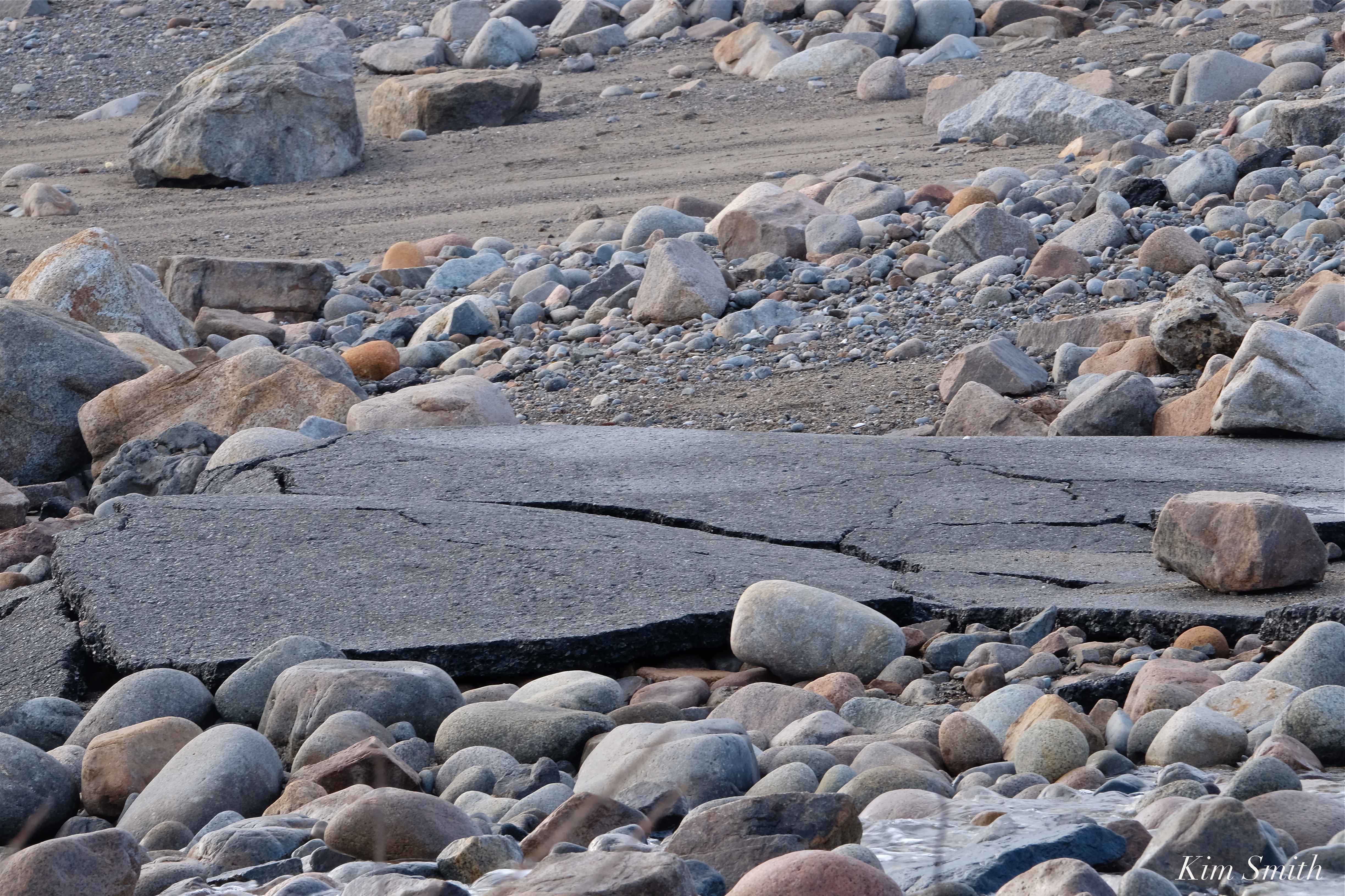 After filming the explosive waves on Atlantic Road yesterday afternoon for various documentary projects, I headed over to Henry’s Pond to check on Mr. Swan’s whereabouts. Expecting to see and film some damage to the road that divides Henry’s Pond and Pebble Beach, which often occurs after storms, especially nor’easters, I was completely overwhelmed by the destruction found at Pebble Beach. The road is gone; the worst I have ever seen, and I couldn’t make it to the Pond because it was simply too dangerous to climb over the slippery, jiggley rocks and seaweed.


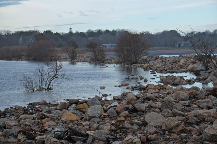
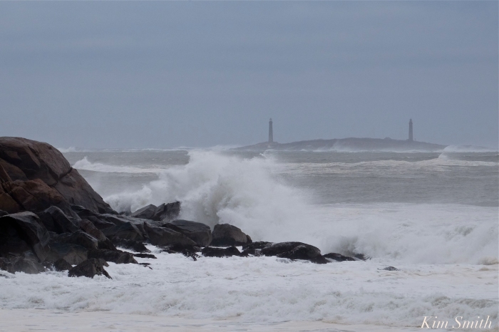
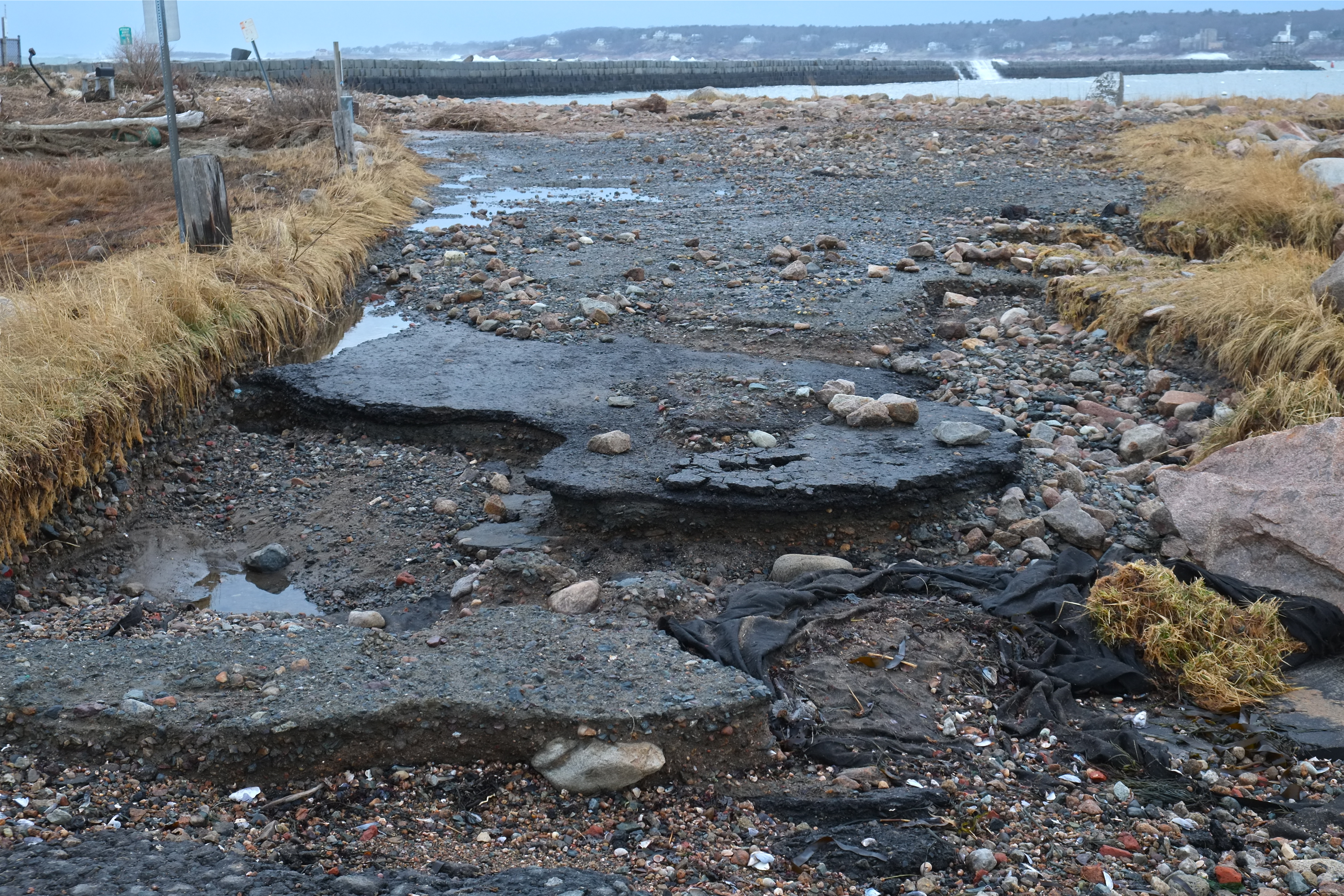 It appears as though the Eastern Point Lighthouse parking lot and road were hit with surges from both the harbor side and from the Atlantic, washing away the road and leaving the area littered with surge debris, mostly rocks, seaweed, and seagrass. The storm drain, which formerly ran under the road, is now completely exposed. At low tide early this evening, the marsh was still completely flooded.
If you are planning on checking on the EPLighthouse, park your car and walk. Several folks got stuck as there is nowhere to turn around under the current conditions.

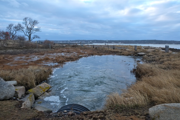


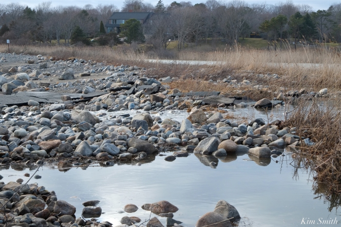
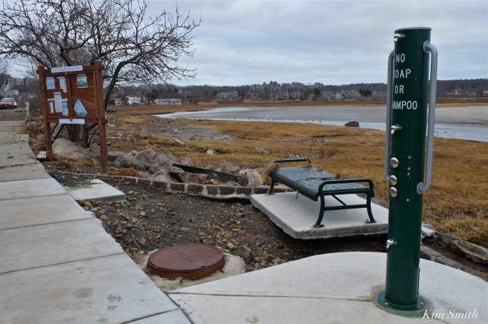
Flooded marsh
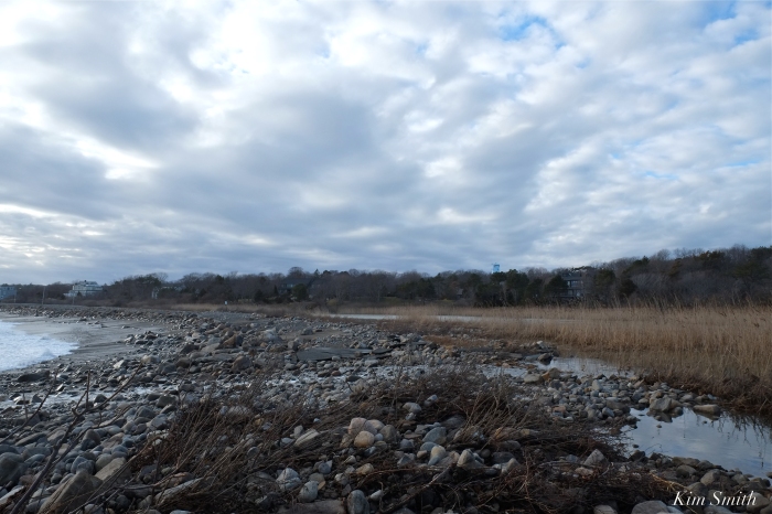
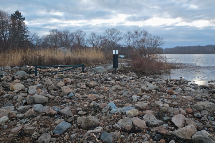
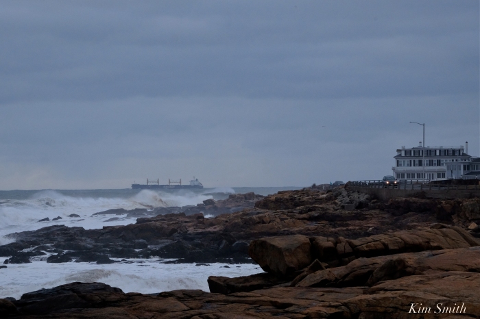
 Storm clouds lifting

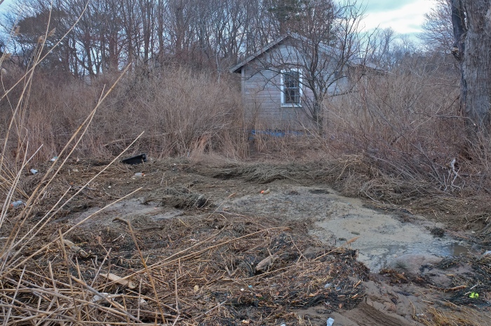
The beautiful newly constructed causeway that separates Niles Pond and Brace Cove, which was rebuilt several years ago, is now a jumble of rocks and boulders. Niles Pond Road is narrowing from the sea water surging into the Pond. The water has nowhere to go. The road to the Retreat House is impassable. The destructive force of climate change is rearing its ugly head in our own backyards and a fifth super high tide is expected again tonight. 


https://www.instagram.com/p/Bf61crQFsmc/

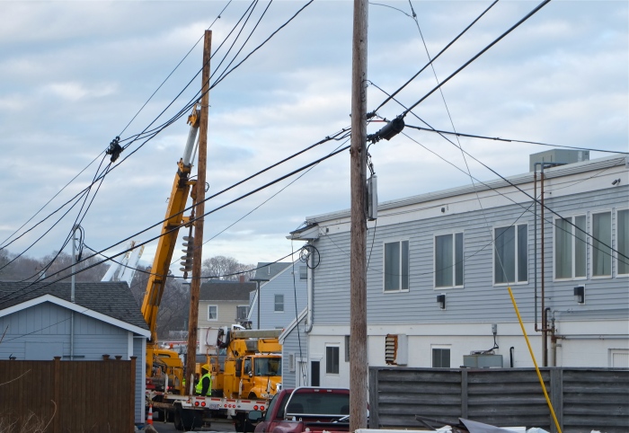
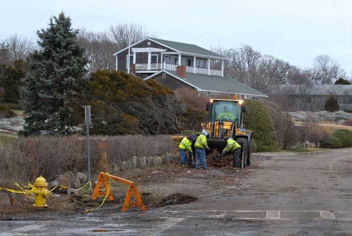
Power line repair crew replacing a downed phone pole behind the Elks at Bass Rocks.


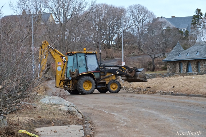
 Last night’s fourth super high tide in two days again brought an incredible surge of seawater. Gloucester’s DPW Marco Numerosi was working last night at 2am and reports it was the worst of all. DPW crews and GDP Officers were on the job bright and early this Sunday morning, cleaning the roads of hurled rocks, popples, seaweed, and seagrass.
Officer Al D’Angelo and Marco Numerosi
Eastern Point Road, by Bemo Street, still littered with debris at 8am, is closed, and virtually impassable. One driver tried, and then quickly changed his mind.
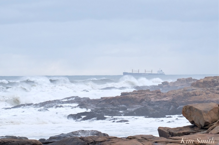
This morning photographing and filming at 6:30 you would not believe it was dead low tide. There is so much water and I am afraid the next tide will bring with it another round of destruction. The waves are towering; a large ship, the Oldendorff appeared to head straight out and then steered closer to shore. Stay safe and warm friends.


 Still no sign of our Snowy

Popples and debris are littering Atlantic Road, the footbridge sustained damage to the last half, fences and trees are down throughout the neighborhood, and the seas are gaining in ferocity, with the third of the super high tides expected at noon. Please be safe, the wind is mighty powerful this morning and their are potential projectiles everywhere.
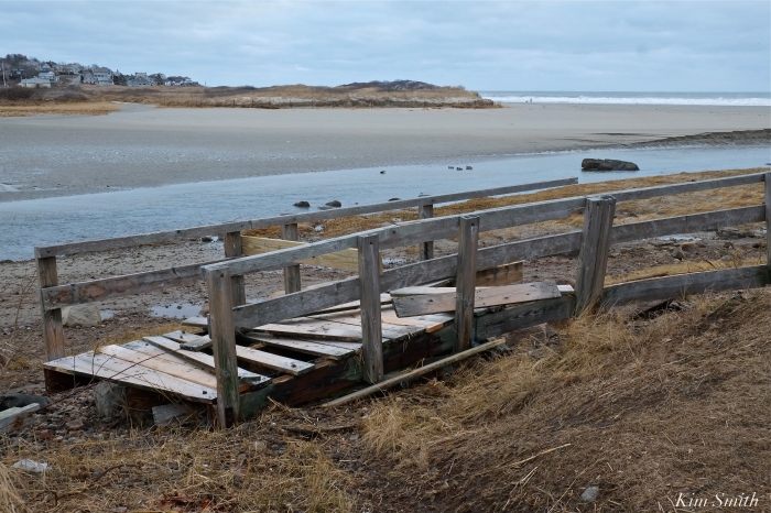
 Good Harbor Beach Footbridge damaged.
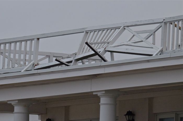


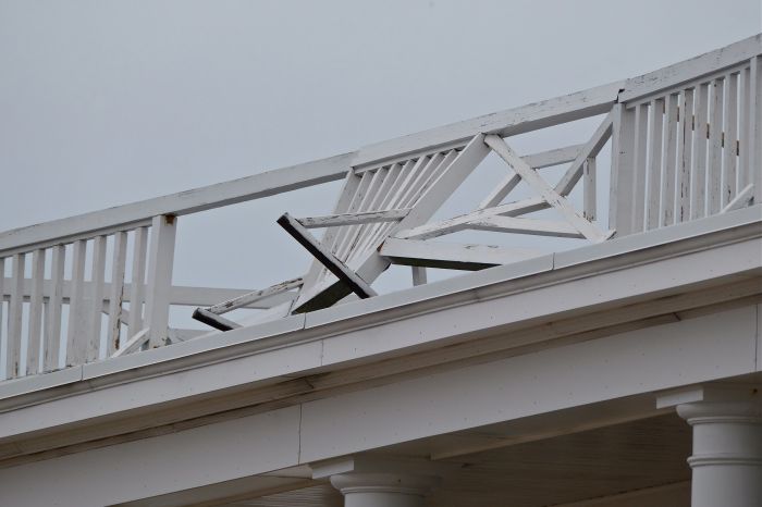

Extensive damage to the railings at the Ocean House Inn, our Snowy Owl Hedwig’s current favorite perch. No sign of her the past few days, but Hedwig is so resourceful, we are hoping for the best.

Meteorologists predict flooding from Nor’easter Riley could be the worst in Boston’s history. The storm is strengthening and the waves were much bigger this afternoon as the tide was going out. Be safe friends. The Good Harbor Beach Footbridge is intact at 4pm, despite mid-day flooding.


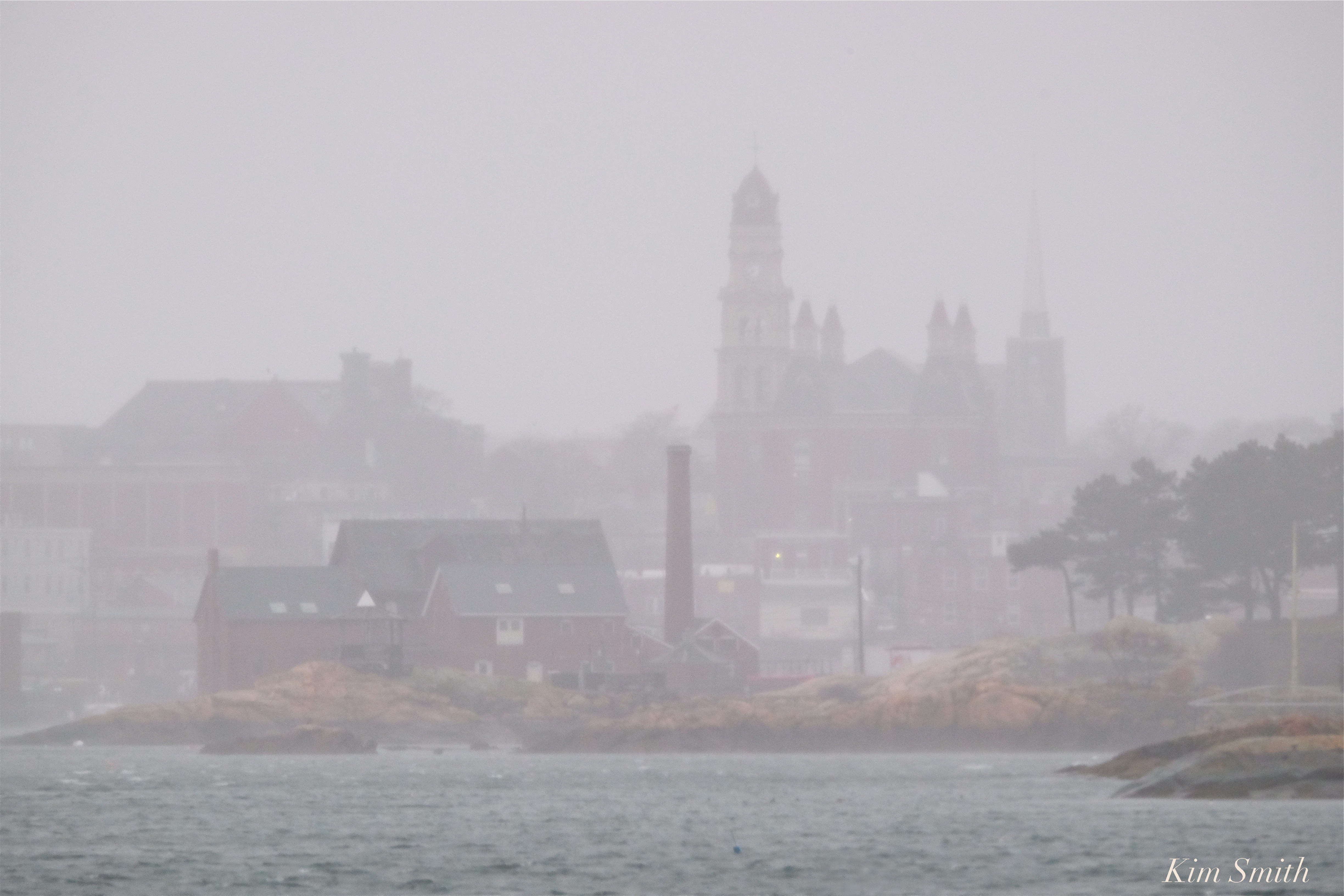 City Hall and the Paint Factory March Nor’easter Riley
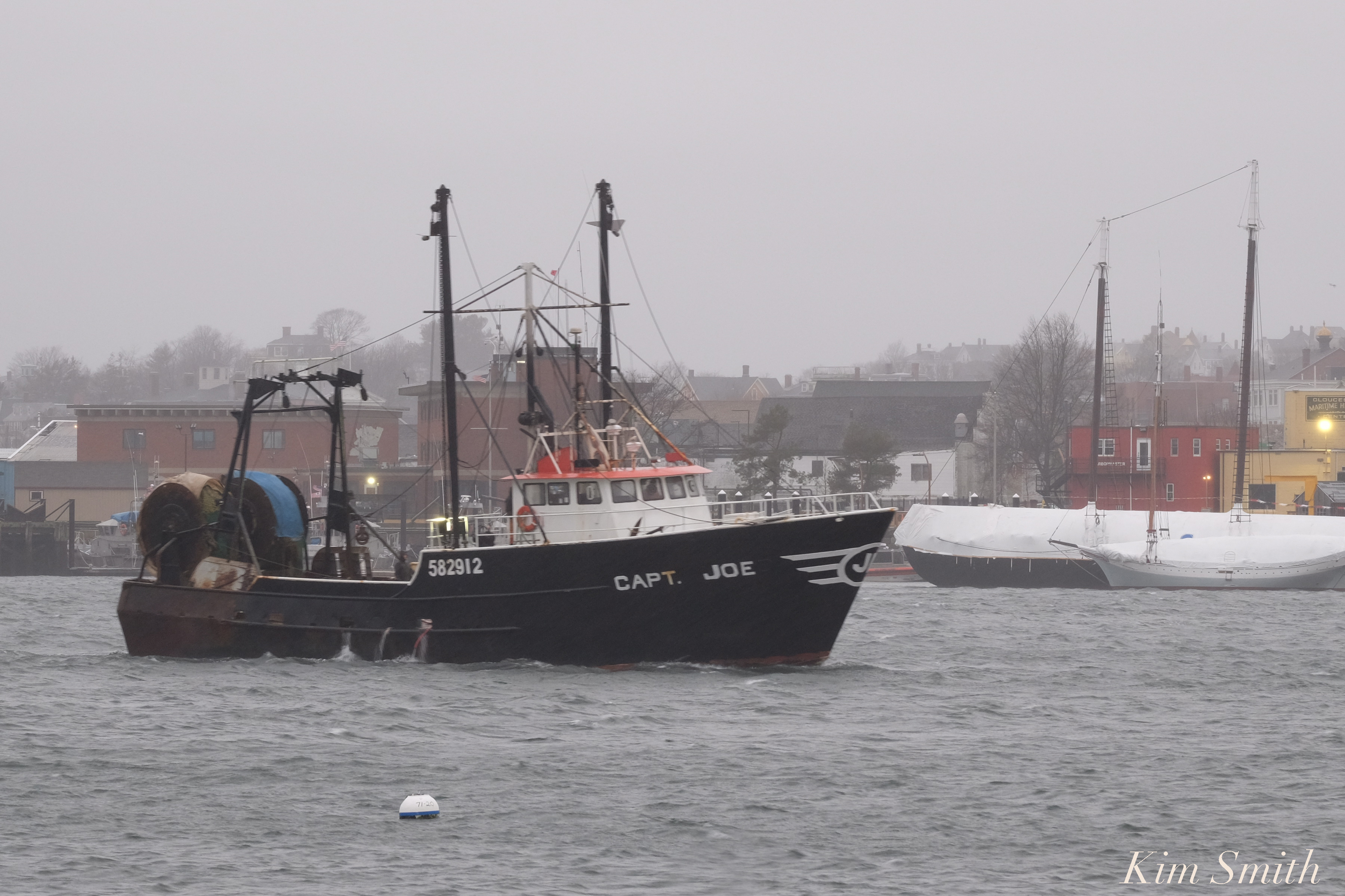 FV Capt. Joe leaving the Marine Railways and heading for the State Fish Pier at daybreak.
 Just another day for a pair of male and female Common Eiders

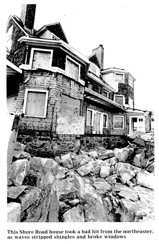
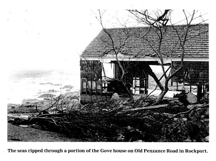
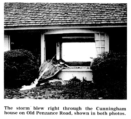
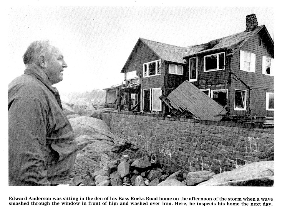
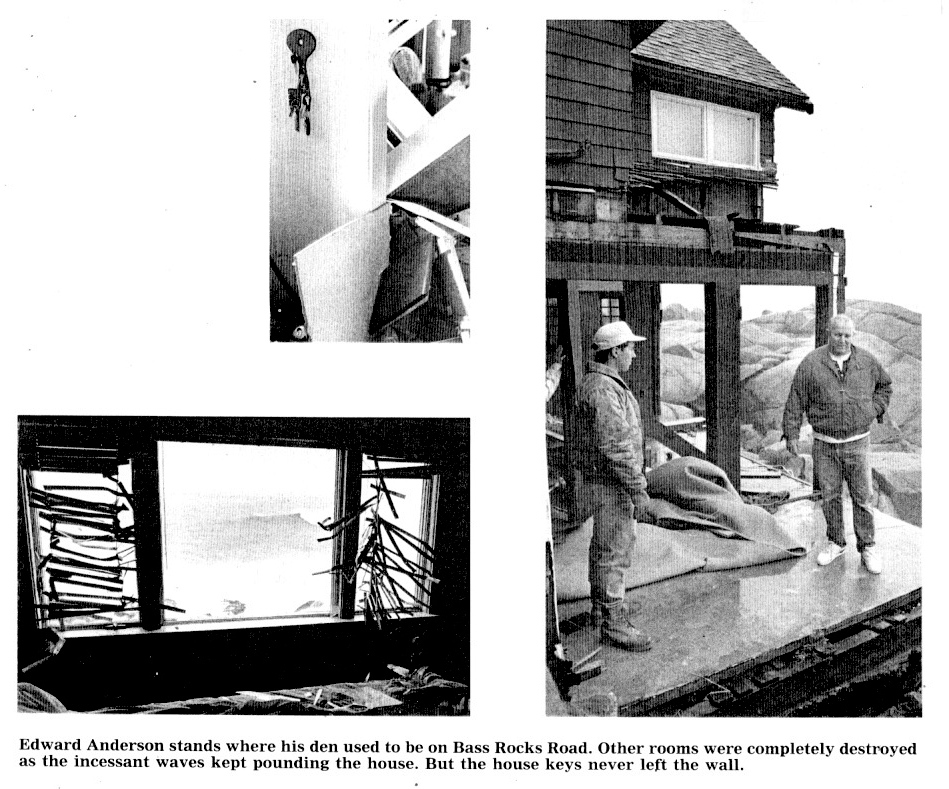
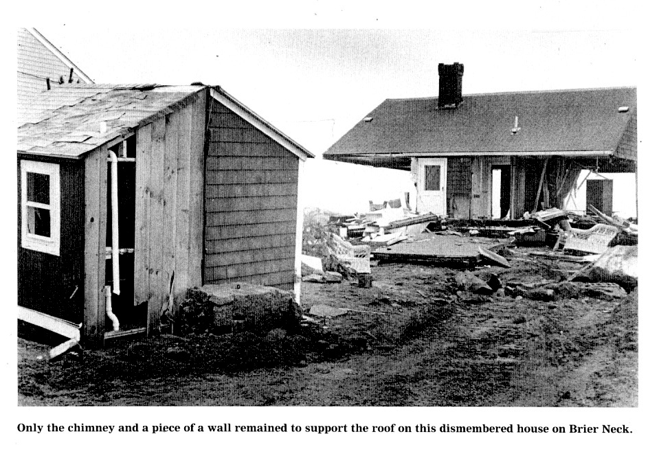
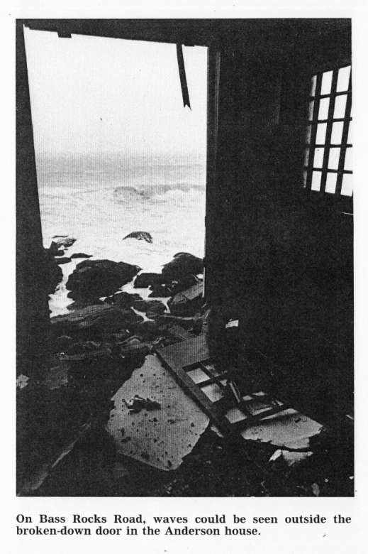
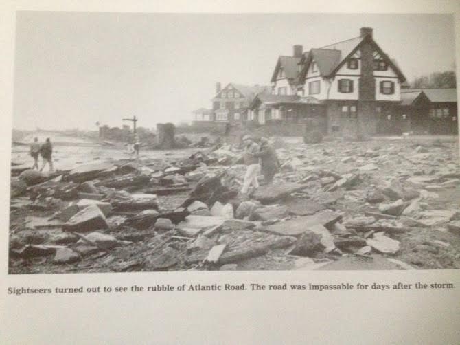
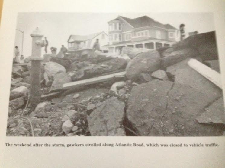
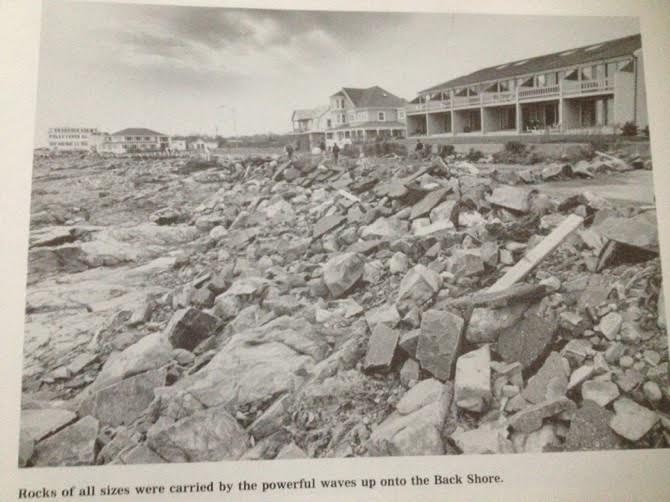
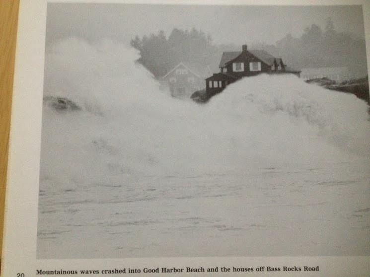
Many thanks to Mary Tucker McLoud for sending a copy of the book from which these photos originally appeared. The book is titled Storming Ashore and was published by the Gloucester Daily Times after the October 30th, 1991 no-name storm. The focus of this batch of photos is to show the extensive property damage to homes along the Atlantic side of Cape Ann.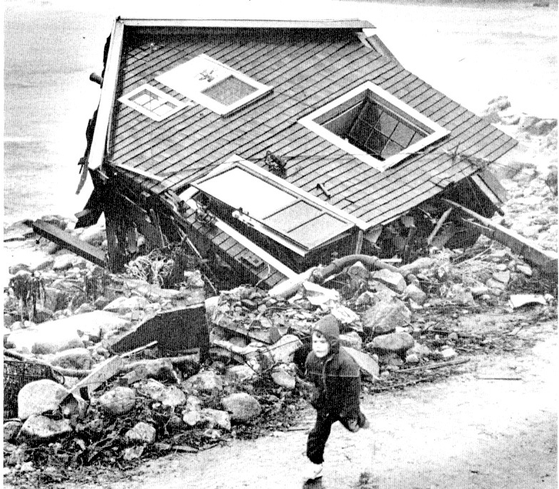

 See More Photos Here Continue reading “MORE ATLANTIC ROAD DEMOLISHED ABSOLUTELY INCREDIBLE STORM MAYHEM PHOTOS”

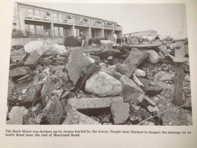 These stunning photos of Atlantic Road utterly demolished by storm damage, taken in 1991, were sent to us by GMG FOB Mary McLoud Tucker. Although she resides in Annapolis, she has deep roots in Gloucester. The photos are from a booklet published by the Gloucester Daily Times. Many, many thanks to Mary for taking the time to send these very graphic images.

Photos by Cristin M. Gisler, Bart A. Piscitello, Gail McCarthy, Sally O’Maley, Jeff Pope. Text by Gail McCarthy

