#gloucesterma STORM PHOTOS – GOOD HARBOR BEACH, EASTERN POINT LIGHTHOUSE, DOGBAR BREAKWATER, BACK SHORE, TEN POUND ISLAND, BRACE COVE, MOTHER ANN

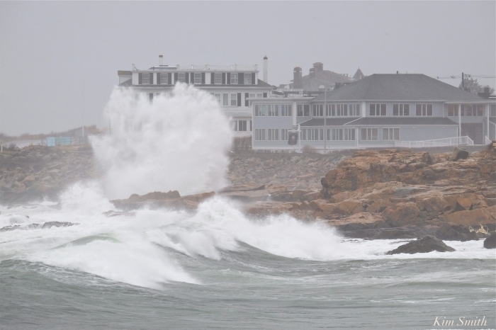
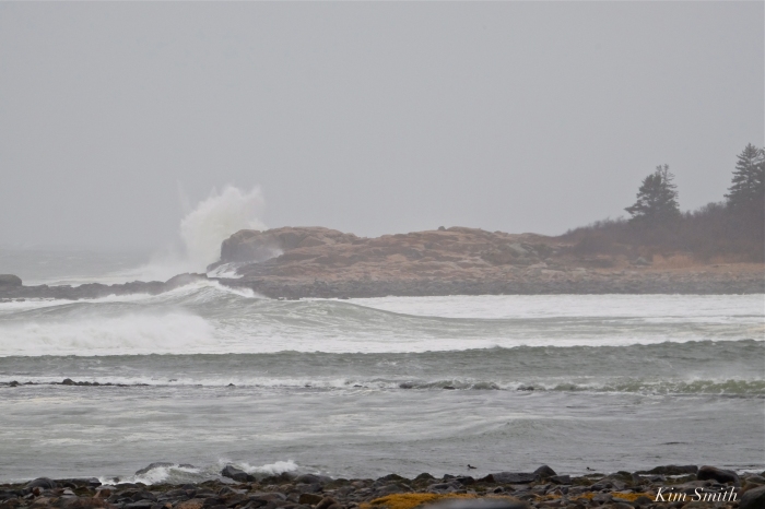
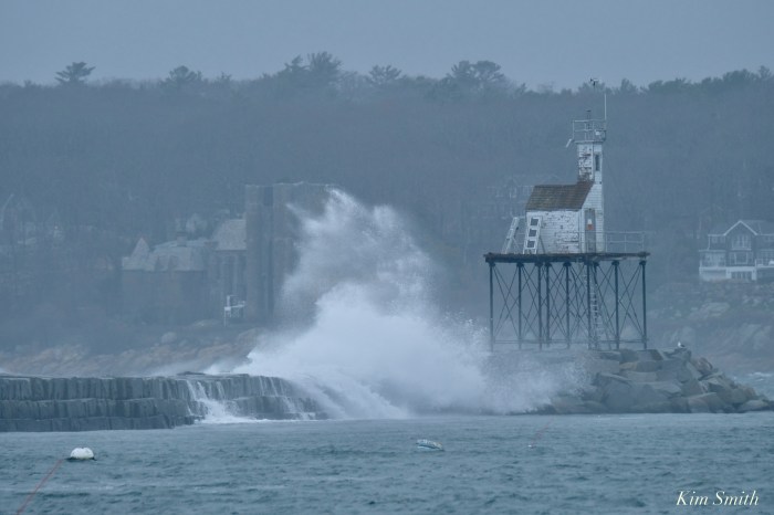
Scenes from around the eastern end of Gloucester – churning seas, leaden clouds, and great puffs of wind – the waves weren’t super, super huge at 4pm but there was still great crashing action over the Dogbar.

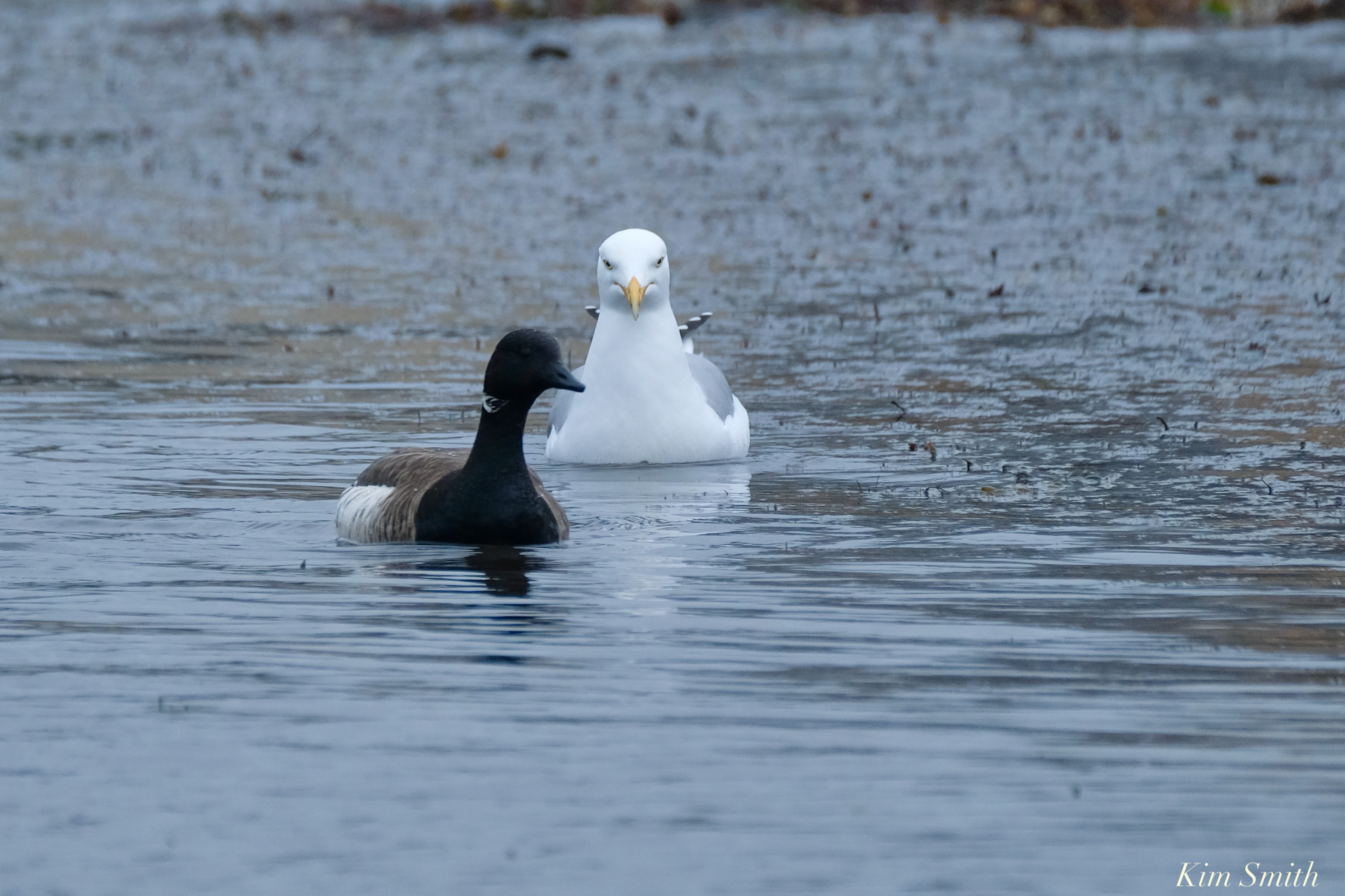
Herring Gull and Brant Geese taking shelter (and fighting) at the little cove at Easter Point Light

BANGERS, CRASHERS, COASTAL FLOODING, BEACON MARINE BASIN, PIRATE’S LANE, AND THE GOOD HARBOR BEACH FOOTBRIDGE BOMBOGENESIS RILEY NOR’EASTER #GLOUCESTERMA

Meteorologists predict flooding from Nor’easter Riley could be the worst in Boston’s history. The storm is strengthening and the waves were much bigger this afternoon as the tide was going out. Be safe friends.The Good Harbor Beach Footbridge is intact at 4pm, despite mid-day flooding.

City Hall and the Paint Factory March Nor’easter RileyFV Capt. Joe leaving the Marine Railways and heading for the State Fish Pier at daybreak.

Just another day for a pair of male and female Common Eiders