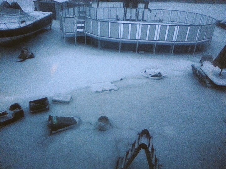
Coastal flooding Pics , Washington Street / Western Ave ….
Be safe People Very Dangerous Storm !!!
Hurricane Force Wind Warning !
Winds NE To N 45-50 Knots gusts to 65 Knots !!!
More Storm Info later!
http://www.spreaker.com:80/episode/5562919
My View of Life on the Dock
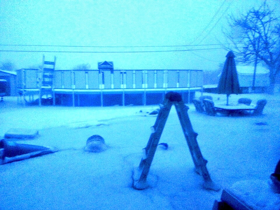
Coastal flooding Pics , Washington Street / Western Ave ….
Be safe People Very Dangerous Storm !!!
Hurricane Force Wind Warning !
Winds NE To N 45-50 Knots gusts to 65 Knots !!!
More Storm Info later!
http://www.spreaker.com:80/episode/5562919


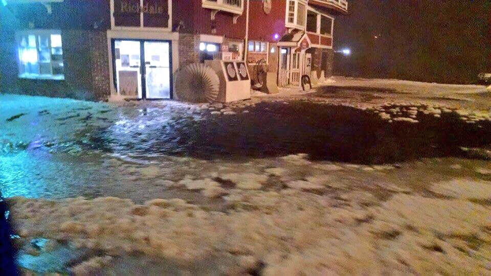
The last one is the Richdale’s across from O’Maley. Sadly, this is one of the many areas identified on maps indicating Sea level Rise vulnerabilities in Gloucester. The City of Gloucester just received a Coastal Zone Management (CZM) Vulnerability Assessment grant. Modeling should be completed over the next few months. Projections will likely be based on sea levels (without storm surge) now and next at 3’rise in 2050 and at 6’ rise in 2070.
LikeLike
Yes I know of the area , thank you 🙂 oh did any homes flood there ? That U know of ? Thanks
LikeLike