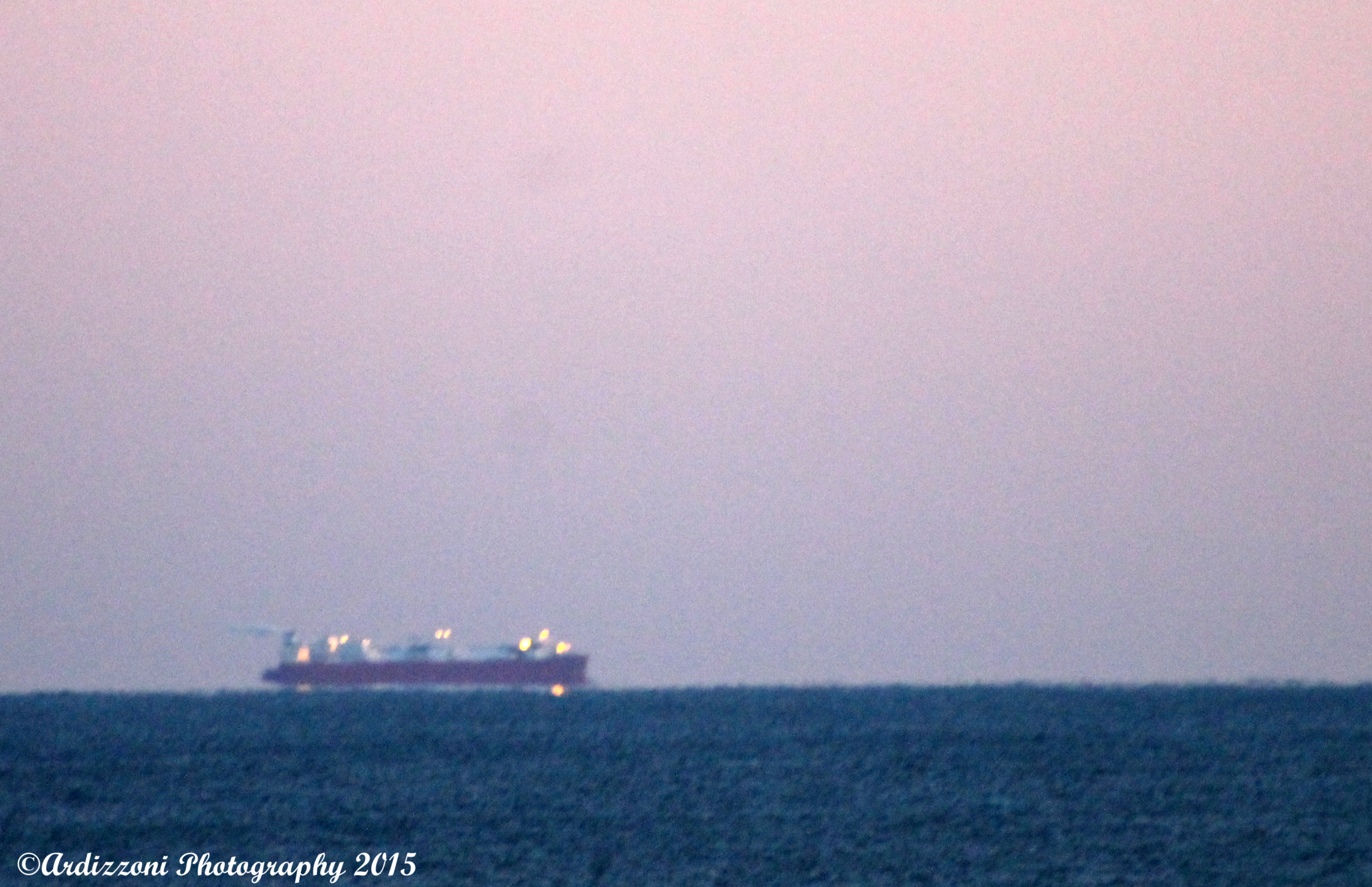
This tanker has been out there for over a month. We can see it from our house. Did some research on Marine Traffic.com. It states that it has limited maneuverability. It does state that it is at Latitude 42.39917 minus 70.6145. Does anyone know about this? 
Spread The GMG Love By Sharing With These Buttons:
Related
Published by Donna Ardizzoni
Ardizzoni Photography, Business Manager, Grandmother, love living in Gloucester, love to swim, kayak, walk and of course take pictures. Our company does computer networking, Office Management, Medical Billing, transcription, networking software updates and virus protection
View all posts by Donna Ardizzoni


I was wondering what that was out there.
LikeLike
Hi there can you see it from Good harbor
LikeLike
It looks like the ship’s name is all one word — Excelerate. I’ll bet it has something to do with this.
http://www.bostonglobe.com/business/2013/01/23/offshore-gas-terminals-mass-bust-far/Qu8dyZzF6yBNAsDNaTT1ZJ/story.html
LikeLike
when it moves, it moves under the sun.
LikeLike
Thank you
LikeLike
Thank you. But only seems to move a little
LikeLike
the sun does not move but the earth moves so much it goes around the sun and with it goes the boat! so it moves a little but a lot; spooky.
LikeLike
I know the sun does not move but it spooky that I can see this tanker from my house in Magnolia and also near Niles
LikeLike
http://excelerateenergy.com/project/northeast-gateway-deepwater-port
LikeLike
Looks like it’s at a liquified natural gas off-loading facility. Read about it here: http://www.northeastgas.org/about_lng.php
LikeLike
Thank you David
LikeLike
Donna,
The local coast guard folks may keep up on this too as it in there area. This way they have taxi’s and buses running off LPG with special filling stations…
From a Hong Kong study…
Click to access 967rp05.pdf
Dave
LikeLike