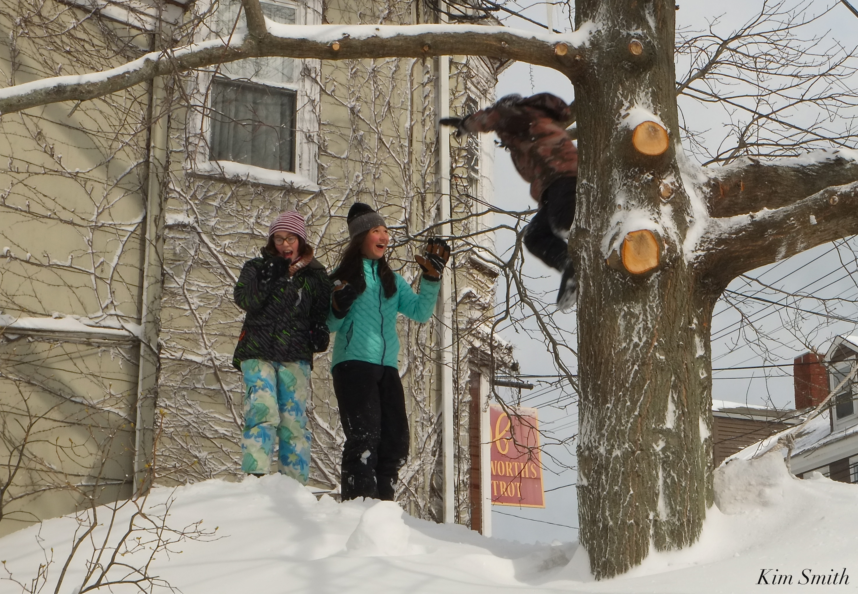
 Emma, Ben, and Lily – note that the snow is nearly as high as is the Duckworth’s sign – Snowmageddon 2015
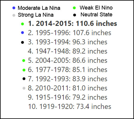
On Sunday’s podcast we asked our guest, Chris Spittle, the Cape Ann weatherman to predict whether 2018-2019 would be a snowy winter, or not. Judging by the snowstorms of the past that have brought the greatest amounts of snowfall, it is likely that we may very well have a snowy winter and here’s why Chris suggests yes.
Historically, the greatest amounts of snowfall occur when North America’s trade winds are transitioning (Neutral state) from La Niña to El Niño. During the transition, and at the beginning (weakest) state of the transition to El Niño we are most likely to experience the greatest amounts of snowfall. Currently, La Niña (east to west trade winds) is oscillating to El Niño (west to east).
Chris shared the graphic below classifying the ten worst snowstorms of the past two centuries.
On the plus side, El Niño summers are generally warmer 🙂
NOAA website: What are El Niño and La Niña?
El Niño and La Niña are opposite phases of a natural climate pattern across the tropical Pacific Ocean that swings back and forth every 3-7 years on average. Together, they are called ENSO (pronounced “en-so”), which is short for El Niño-Southern Oscillation.
The ENSO pattern in the tropical Pacific can be in one of three states: El Niño, Neutral, or La Niña. El Niño (the warm phase) and La Niña (the cool phase) lead to significant differences from the average ocean temperatures, winds, surface pressure, and rainfall across parts of the tropical Pacific. Neutral indicates that conditions are near their long-term average.
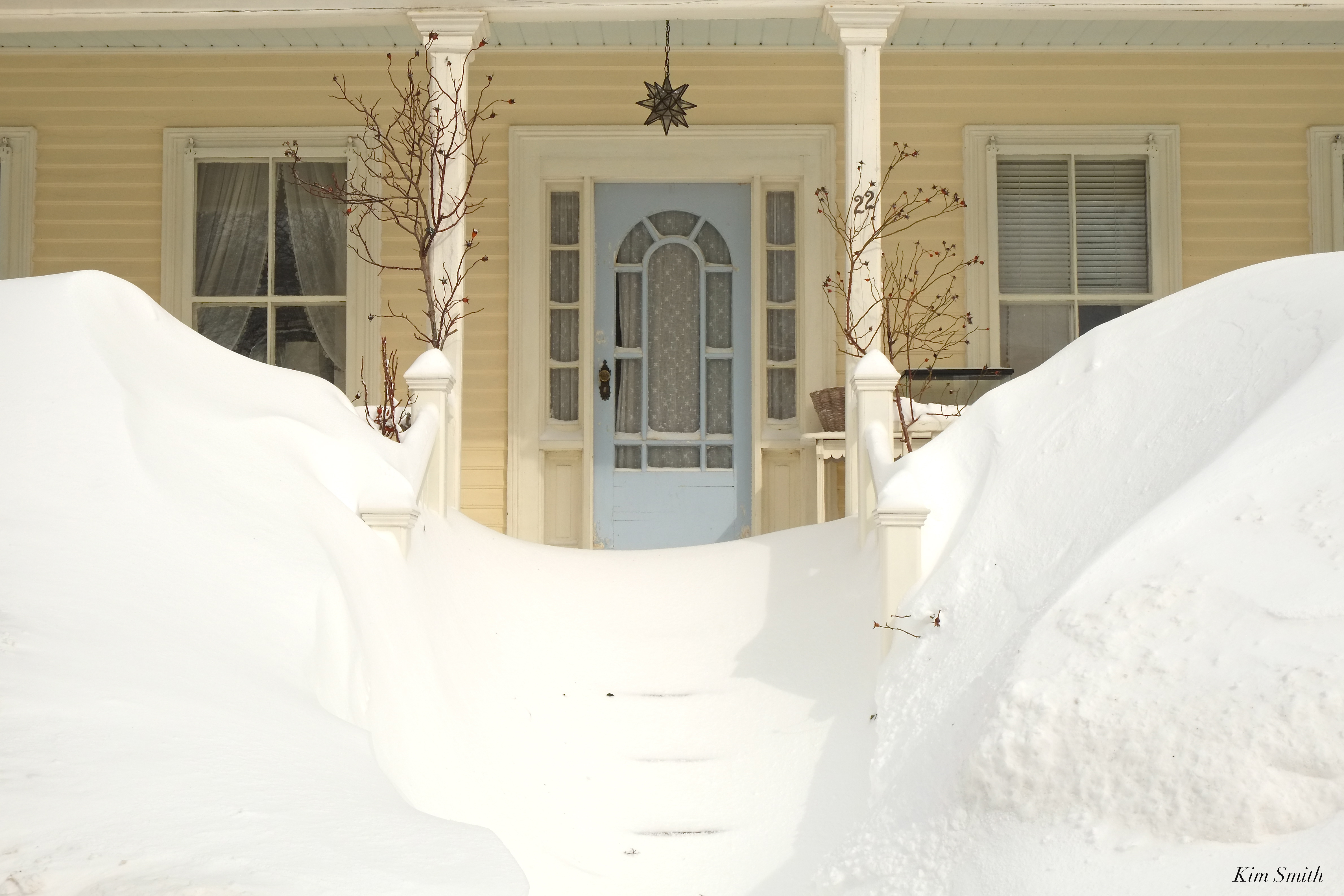
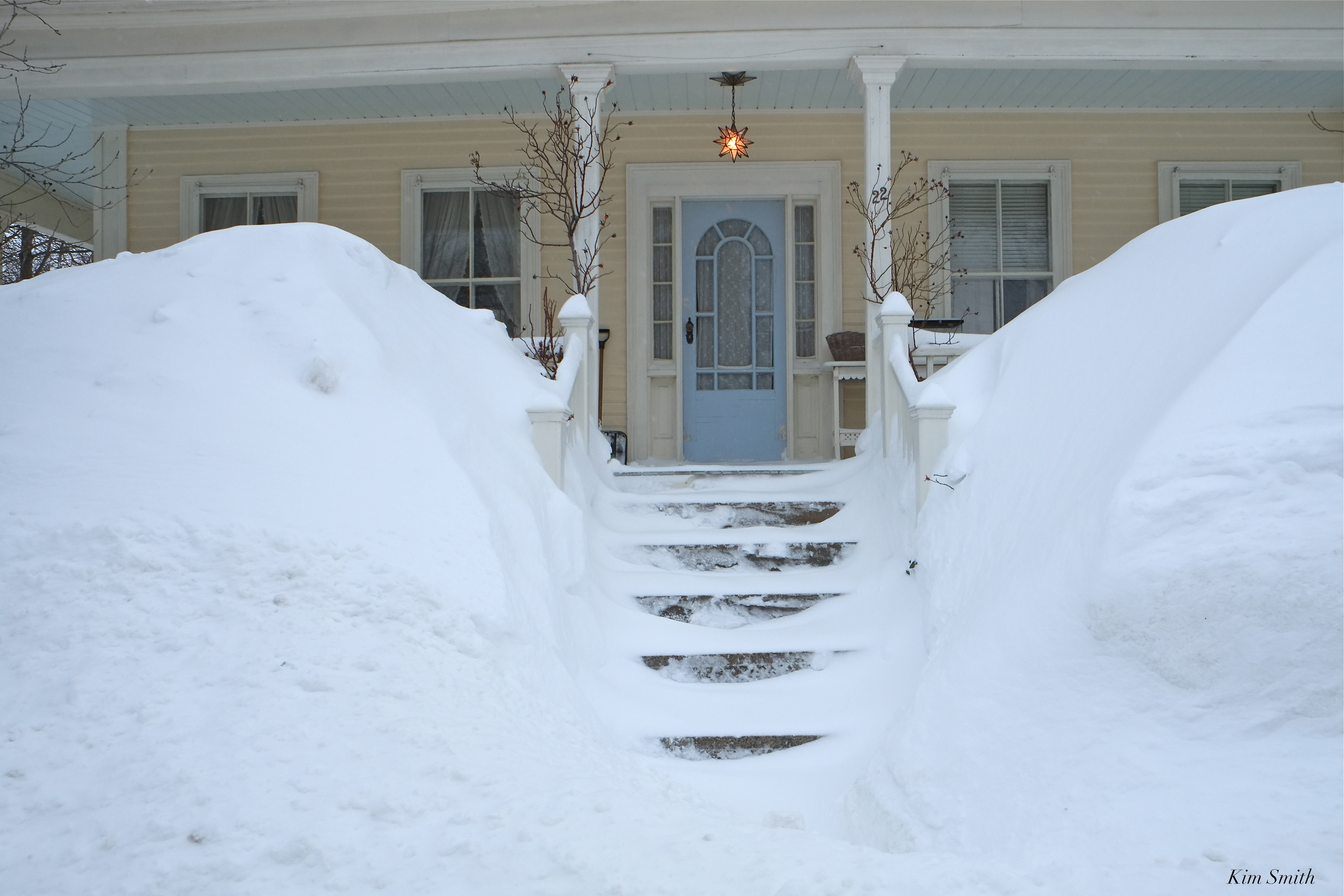
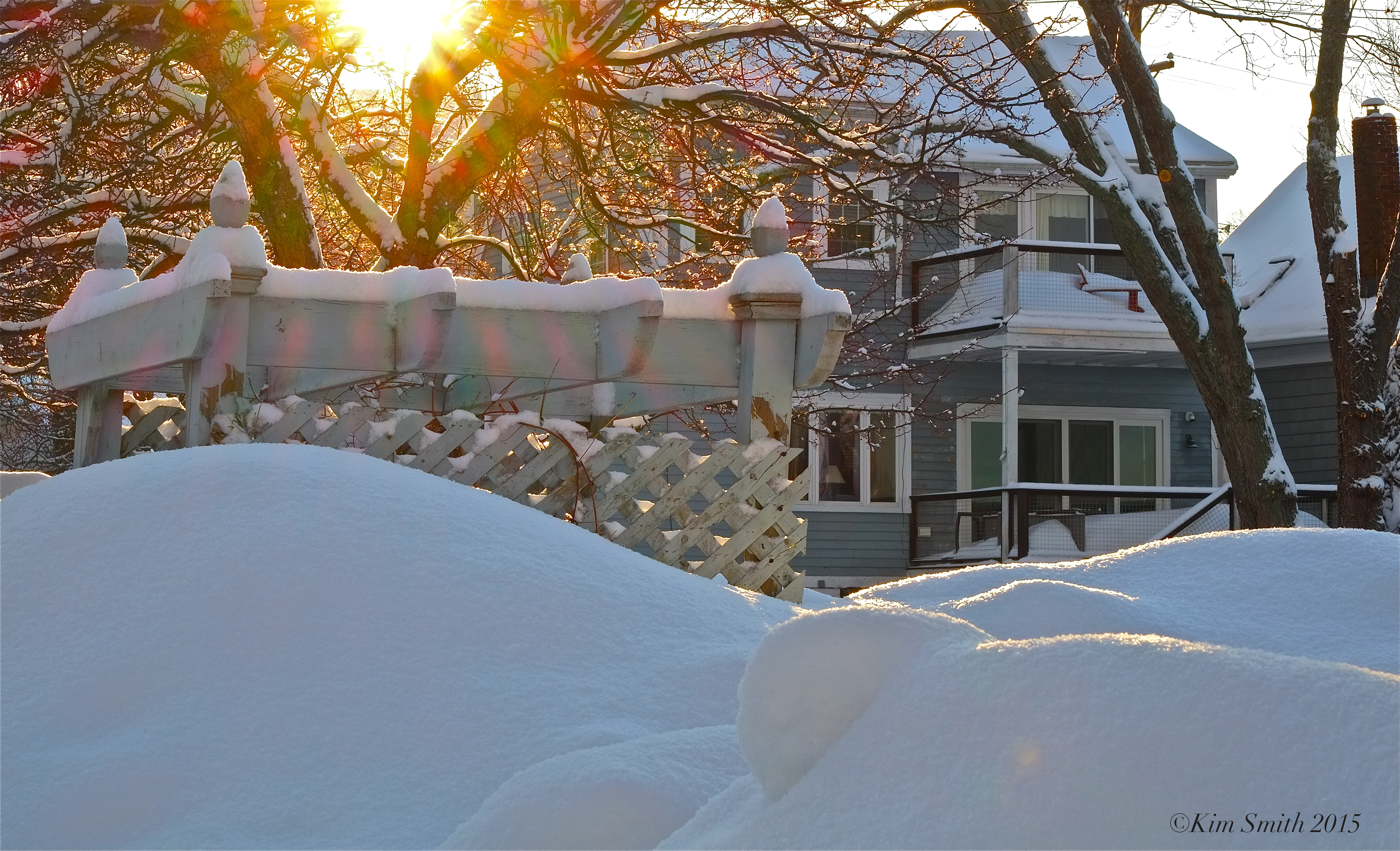
Our front dooryard, in 2015, between blizzards.
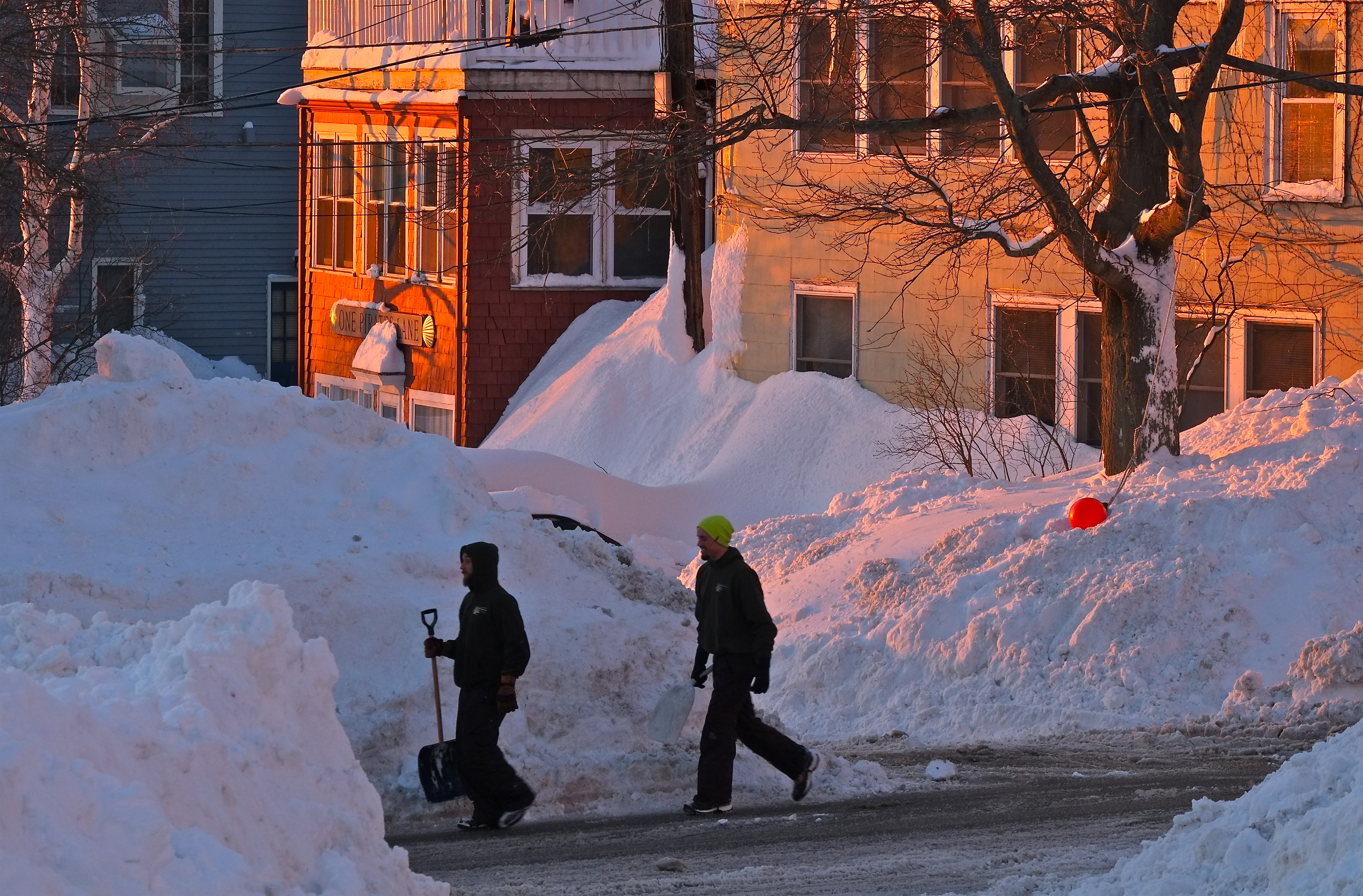
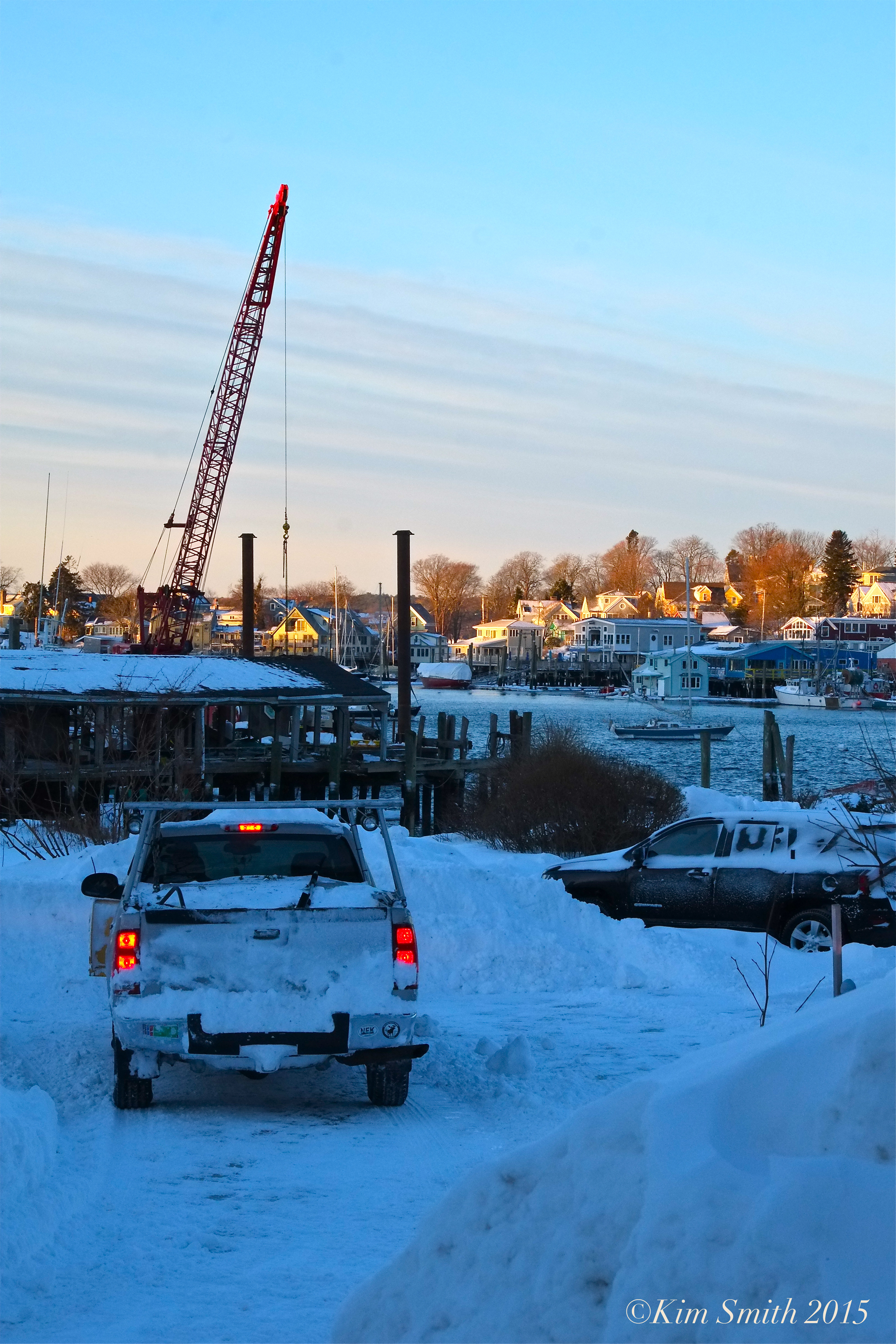
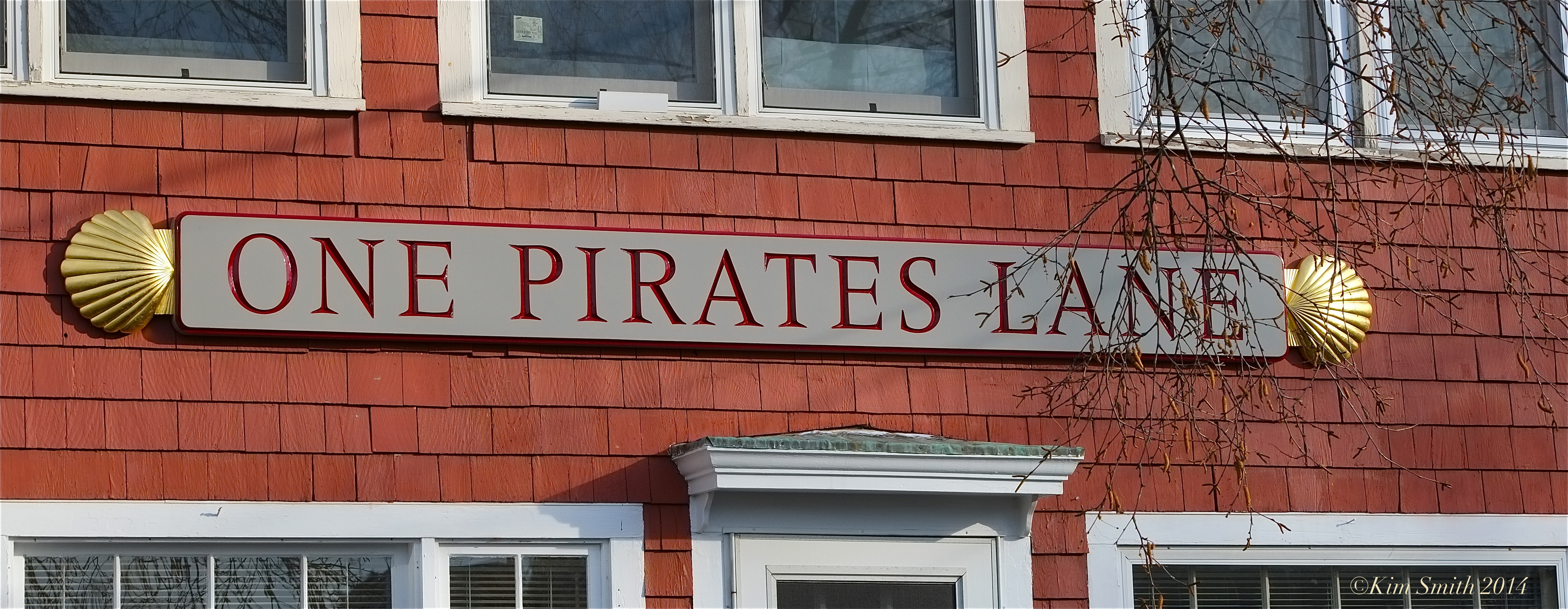
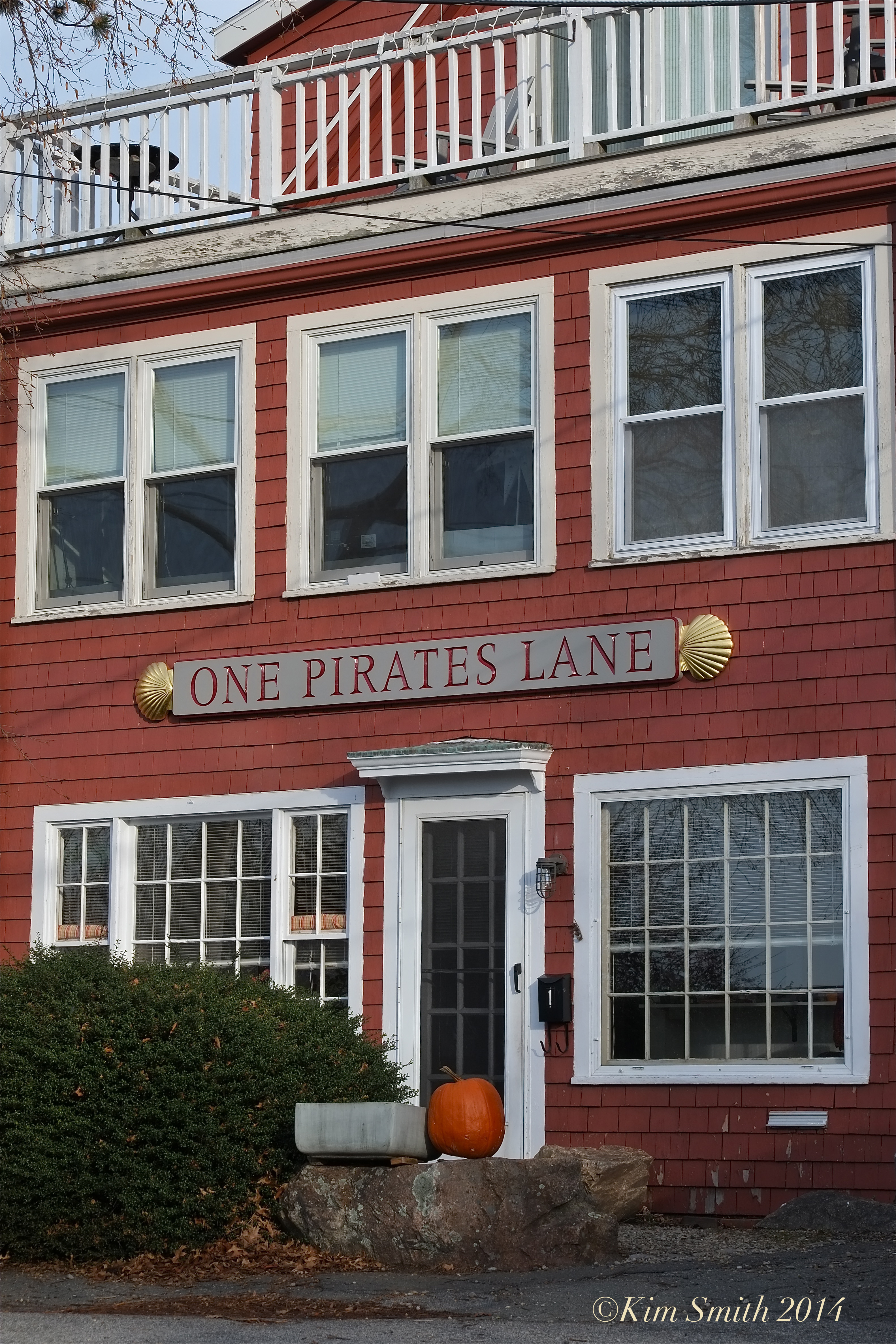
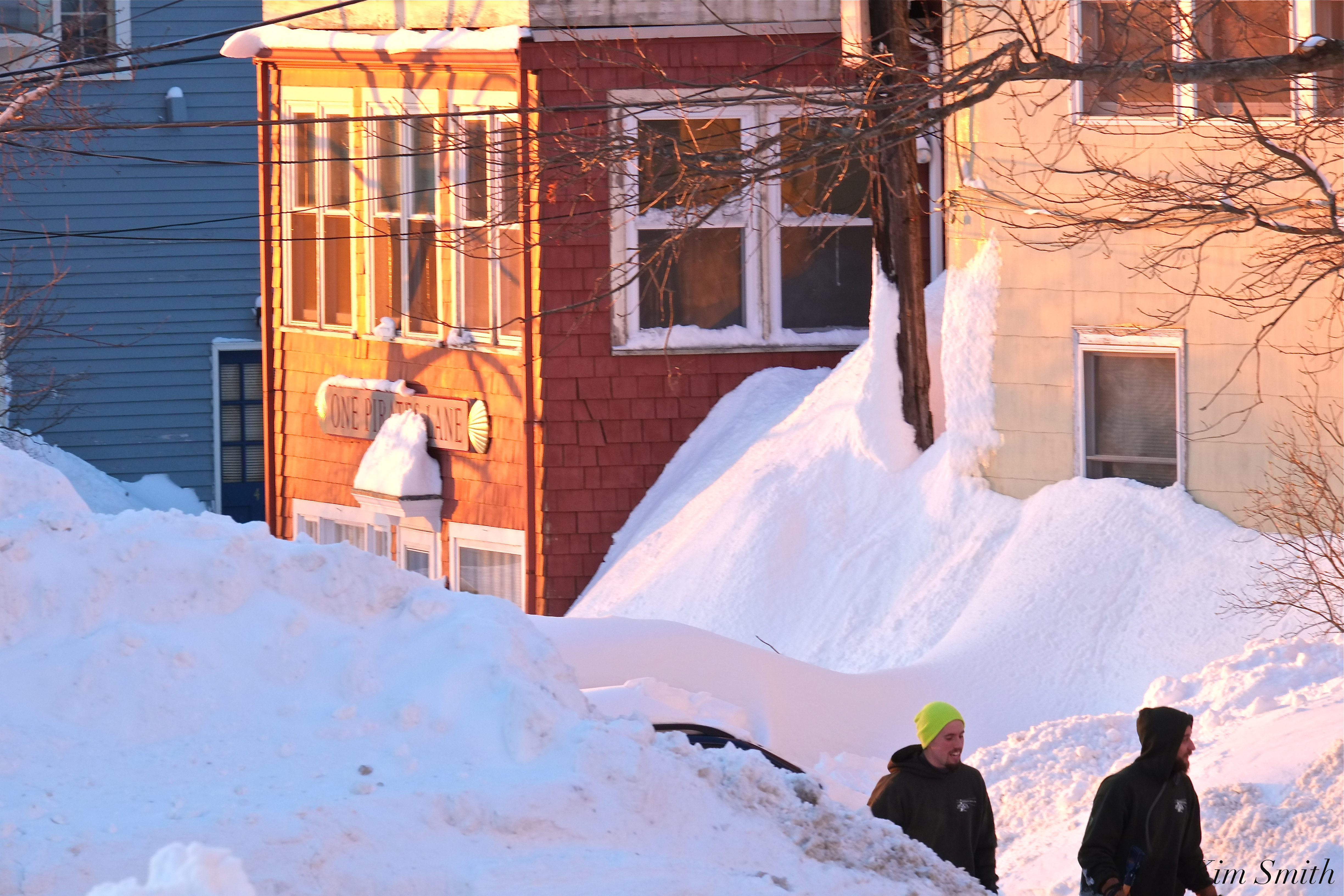 Pirate’s Lane East Gloucester 2015
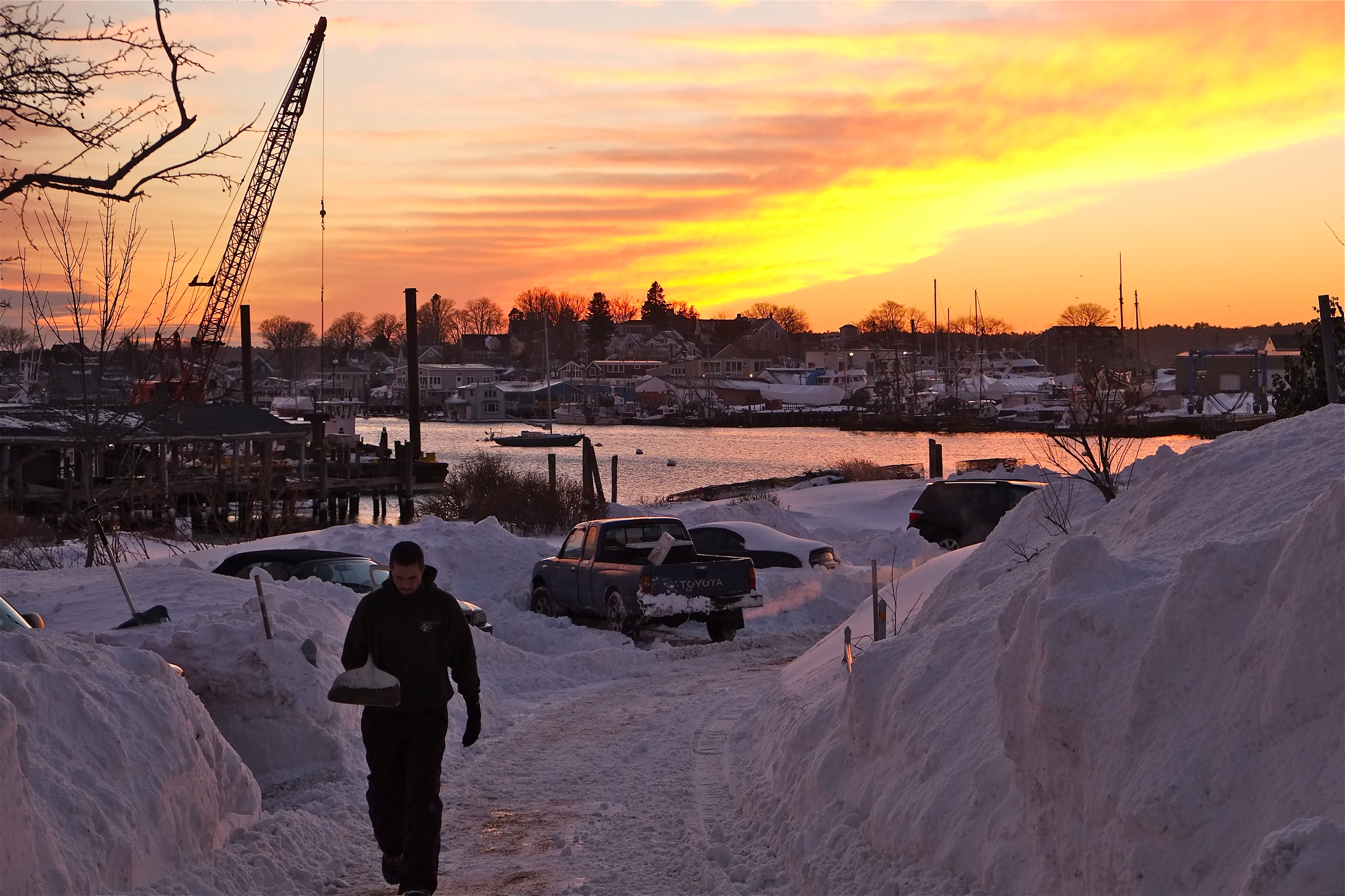
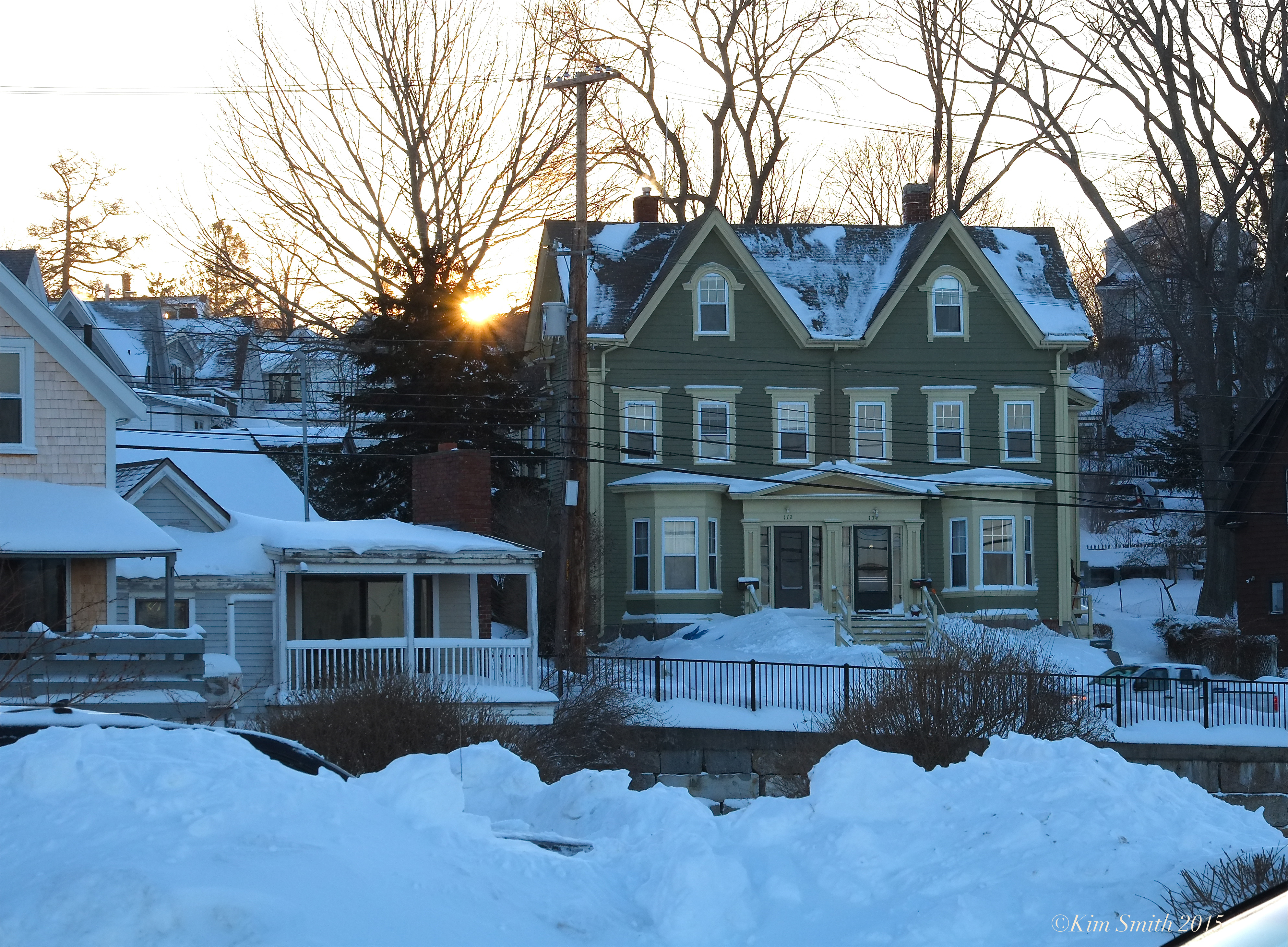
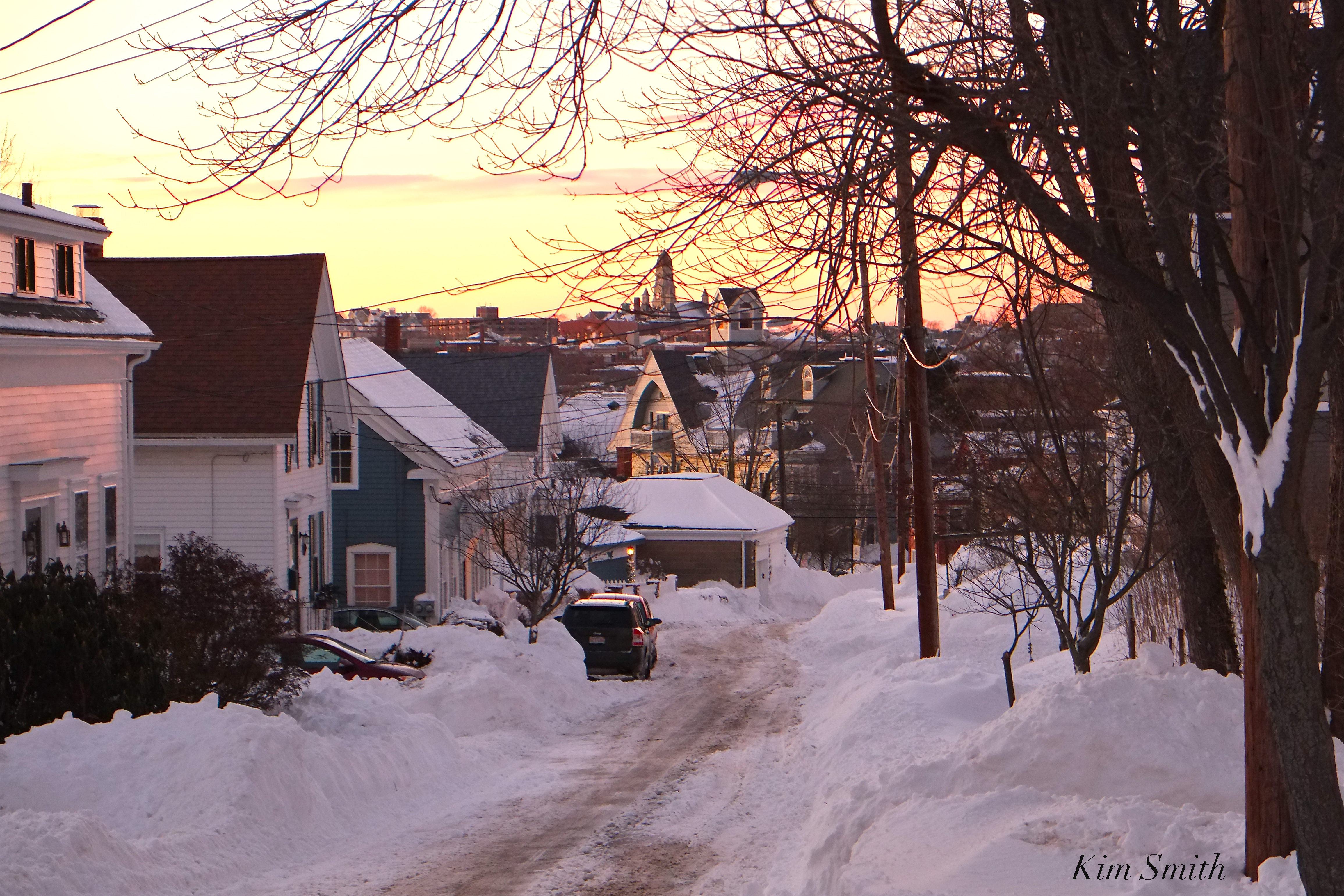 Plum Street 2015
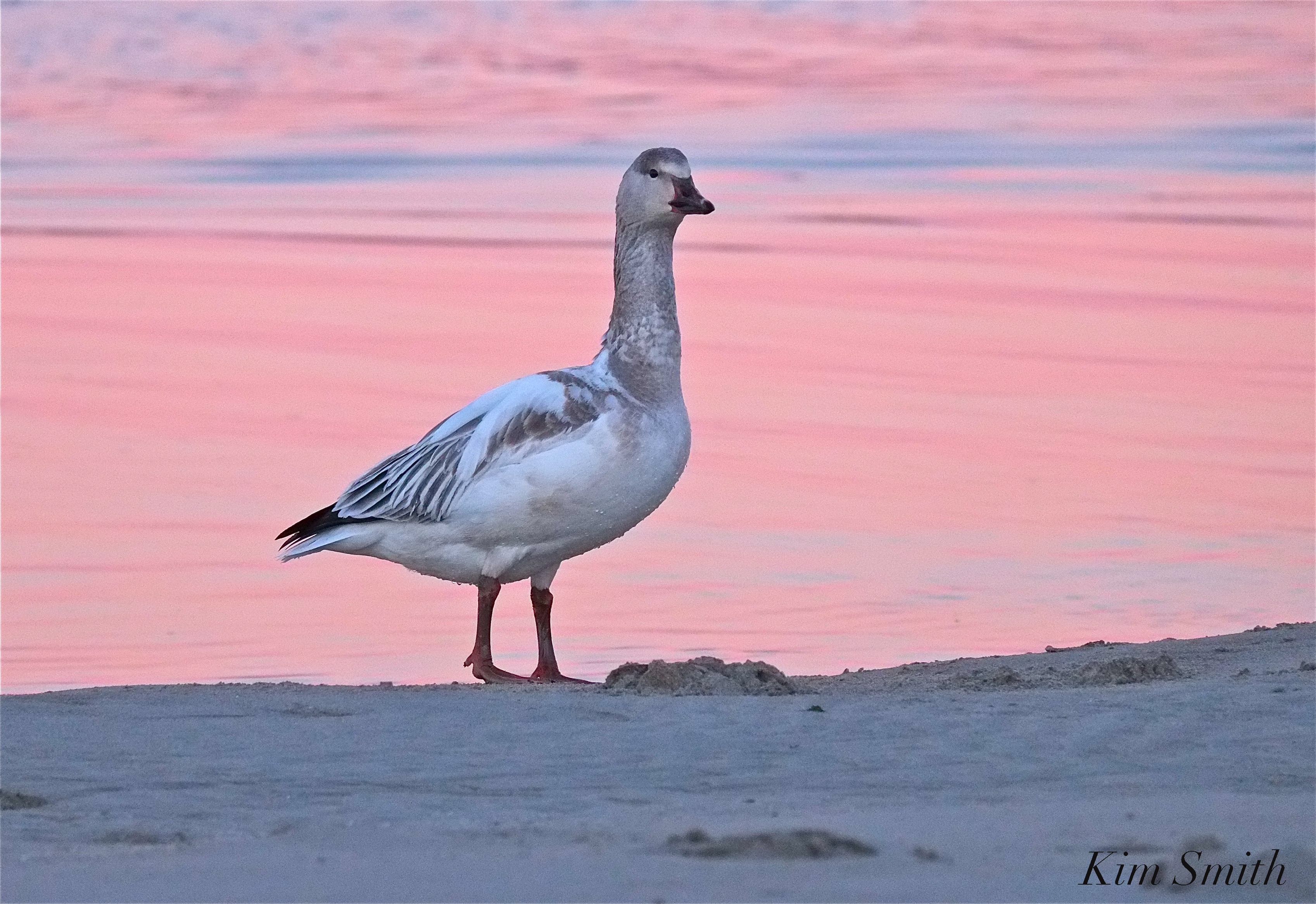
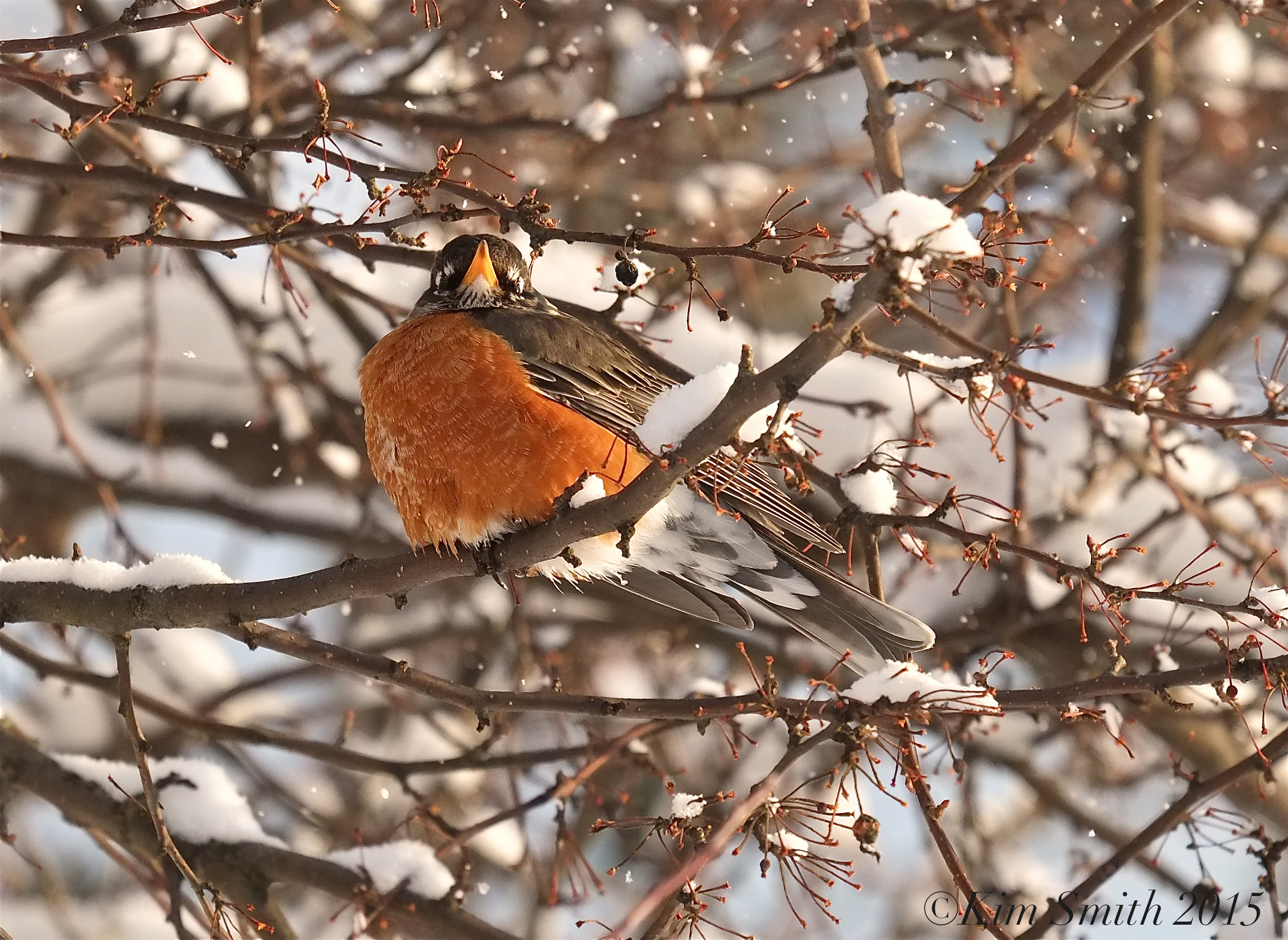
We even had visit from a Snow Goose during the winter of 2015! He mixed with a flock of Canada Geese, staying for about a week, foraging on sea grass at Good Harbor Beach.

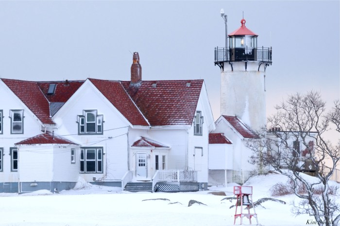
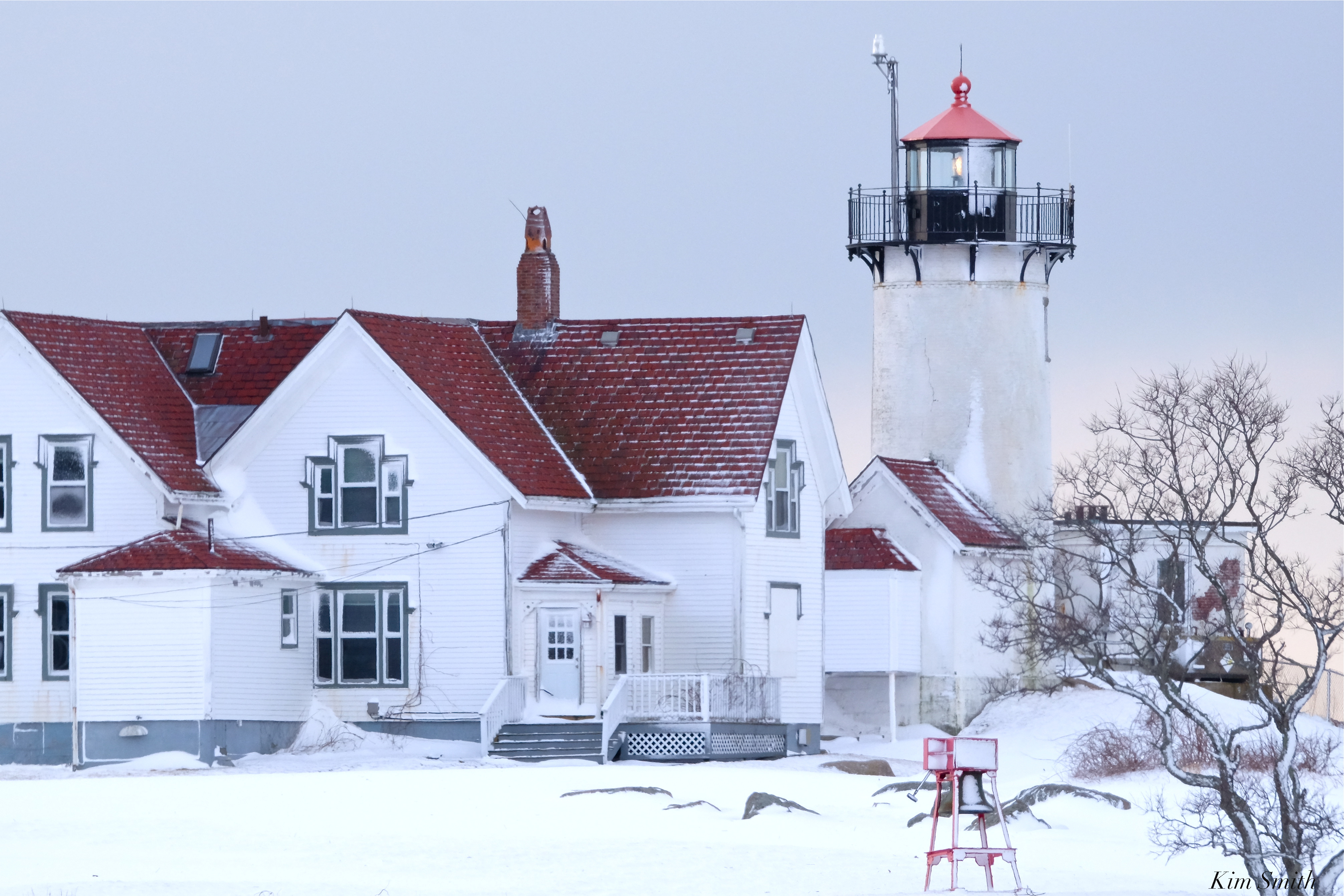 Eastern Point Lighthouse Snowy Day