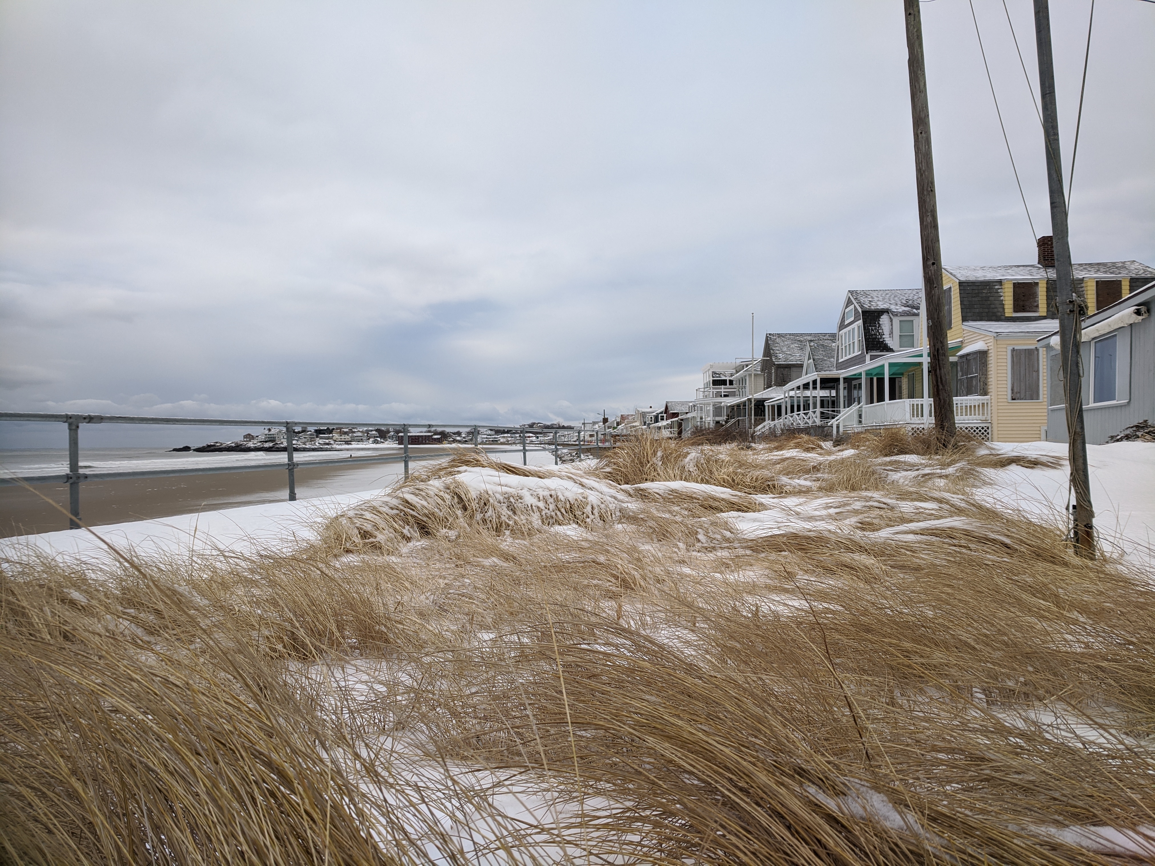
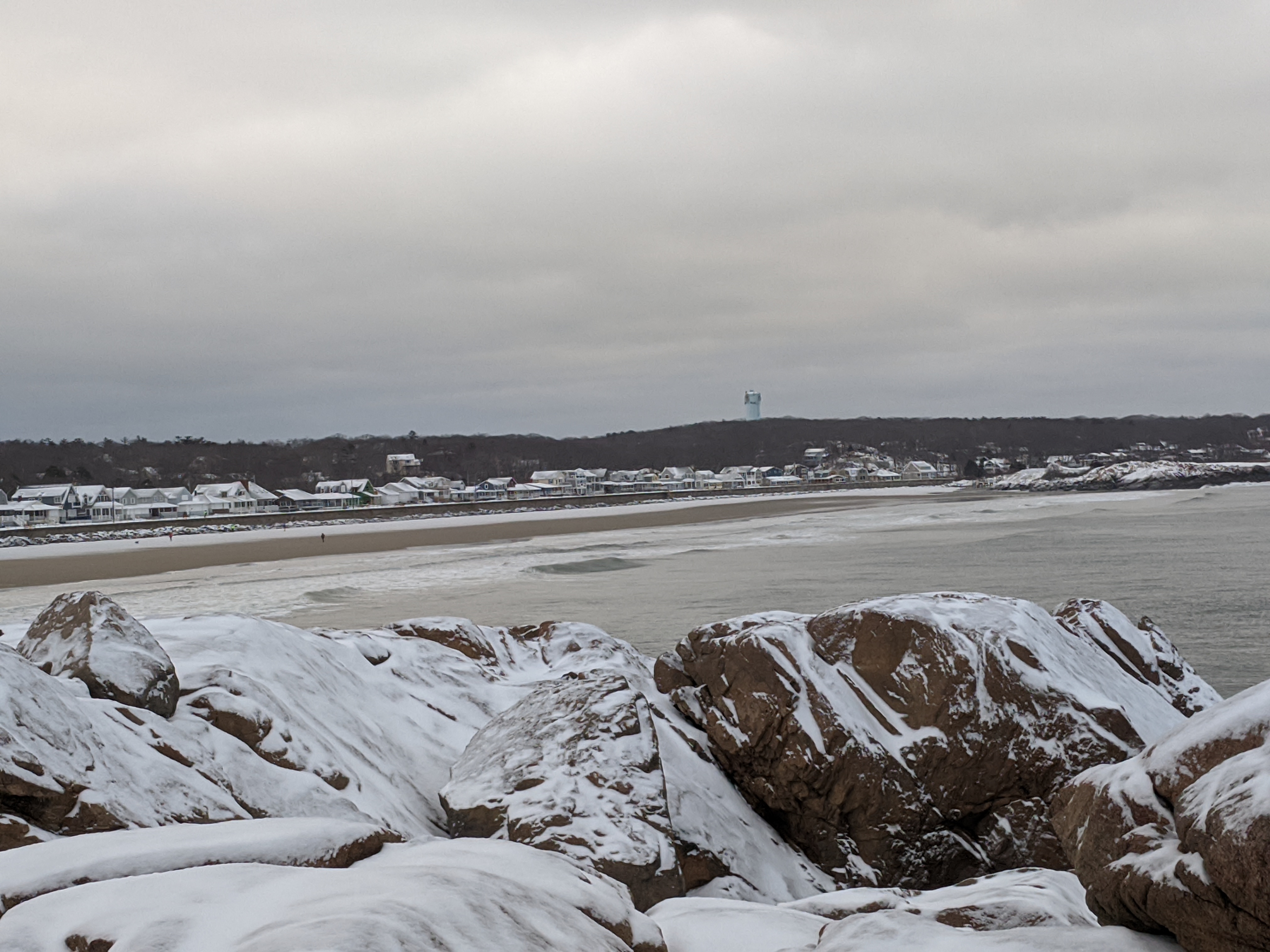
Wicked Cold: ice floe on Annisquam, icy crystal roadside Eastern Point, vessel looks like ghost ship in thick sea smoke #GloucesterMA Feb. 4, 2023

Feb. 4, 2023

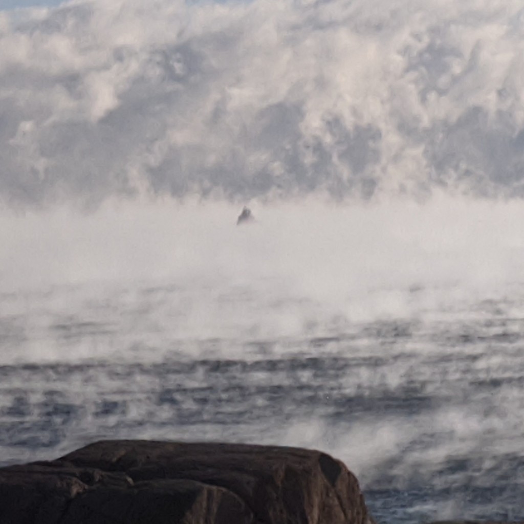
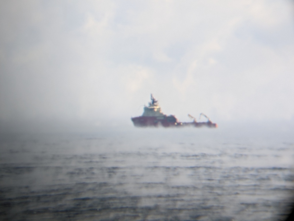
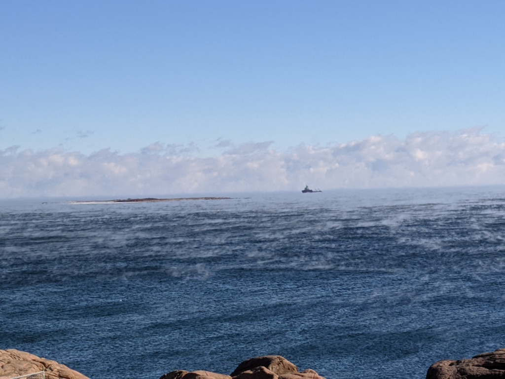
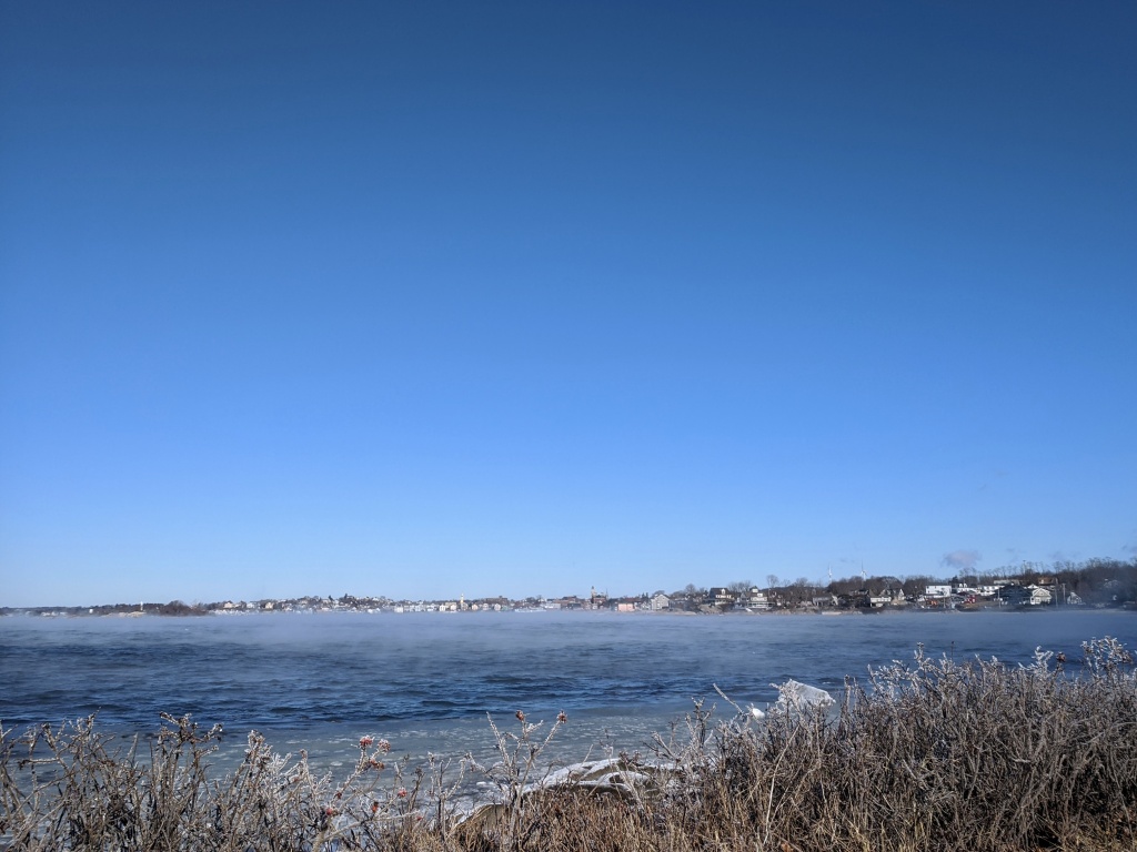
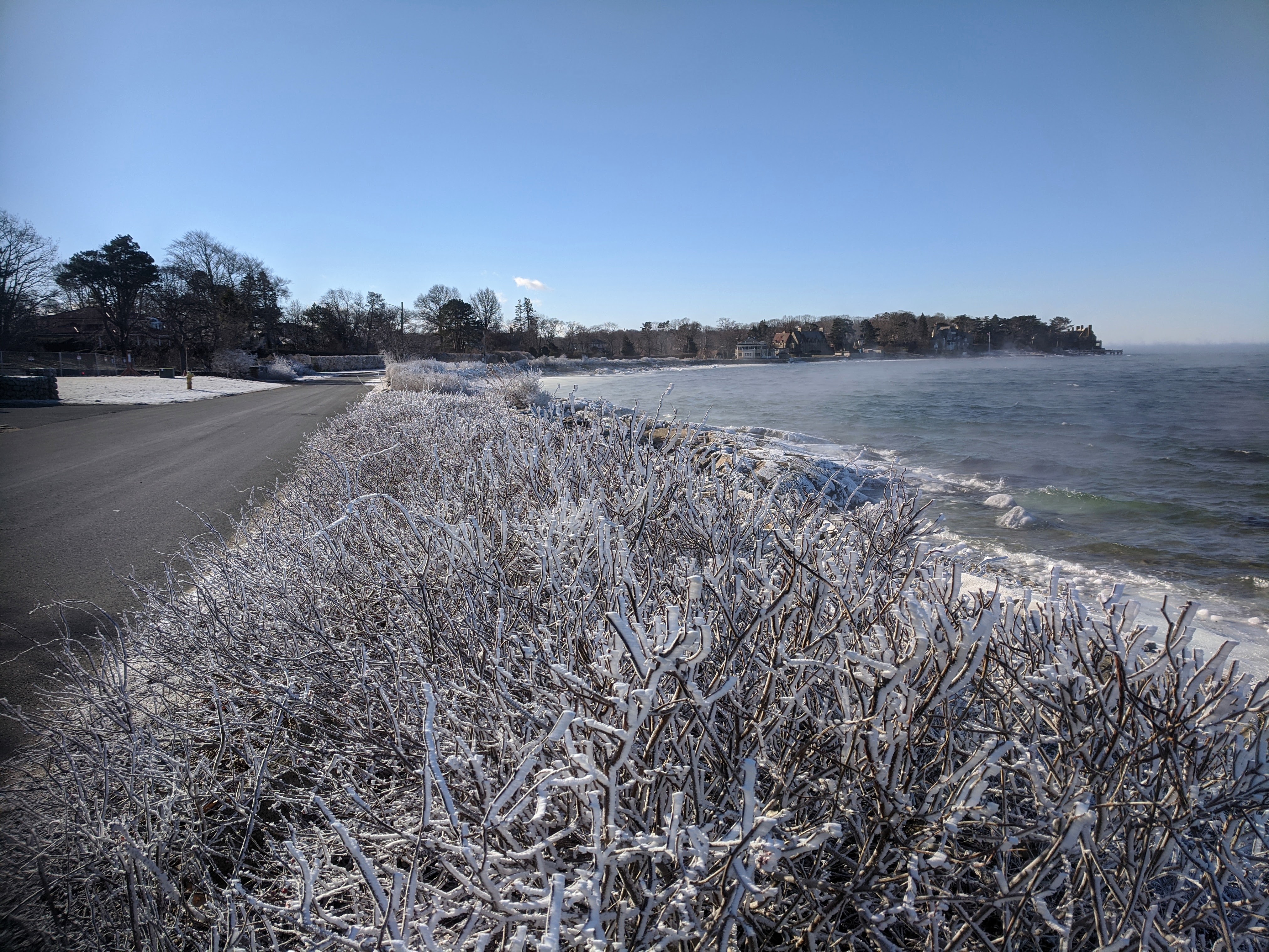
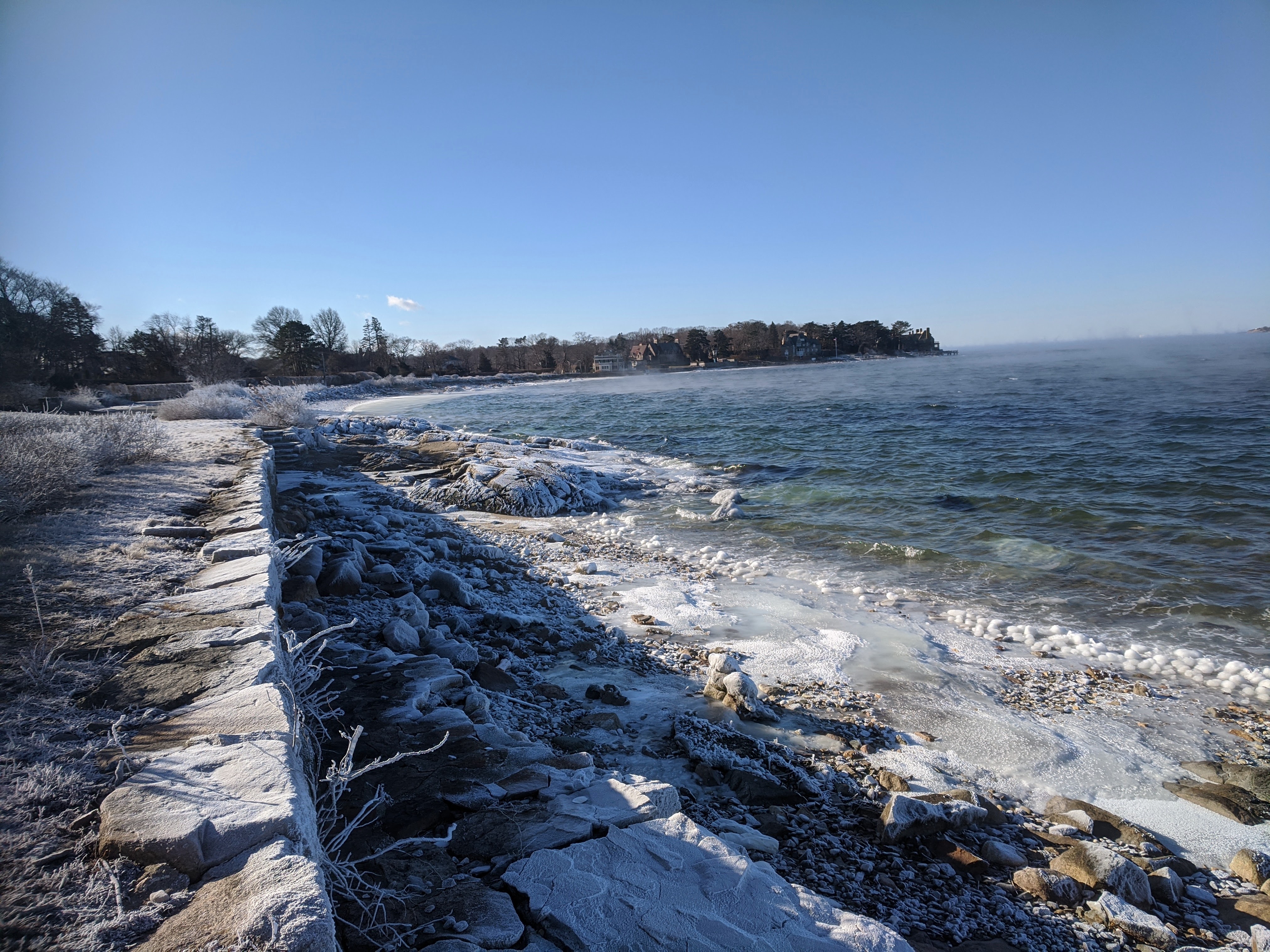
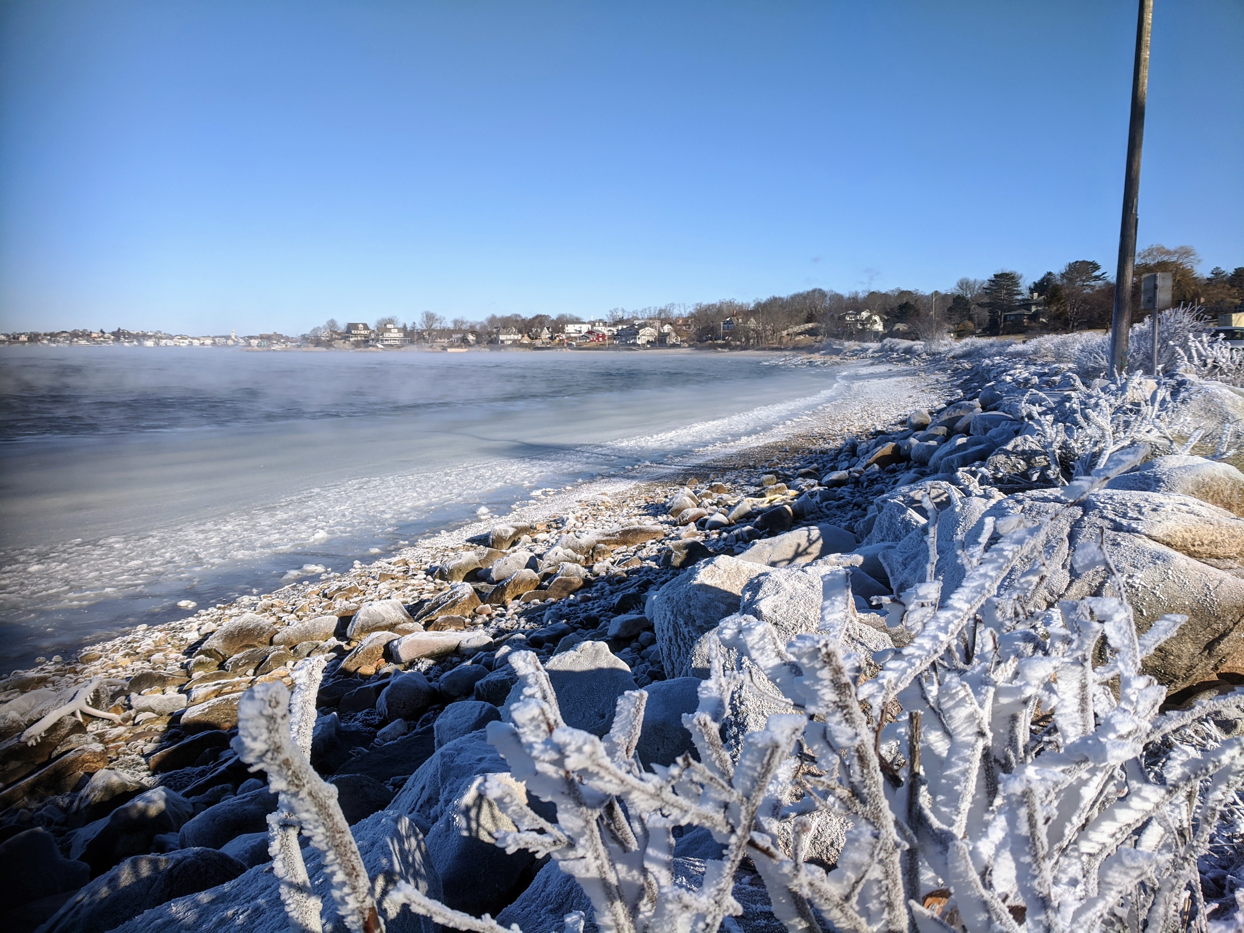
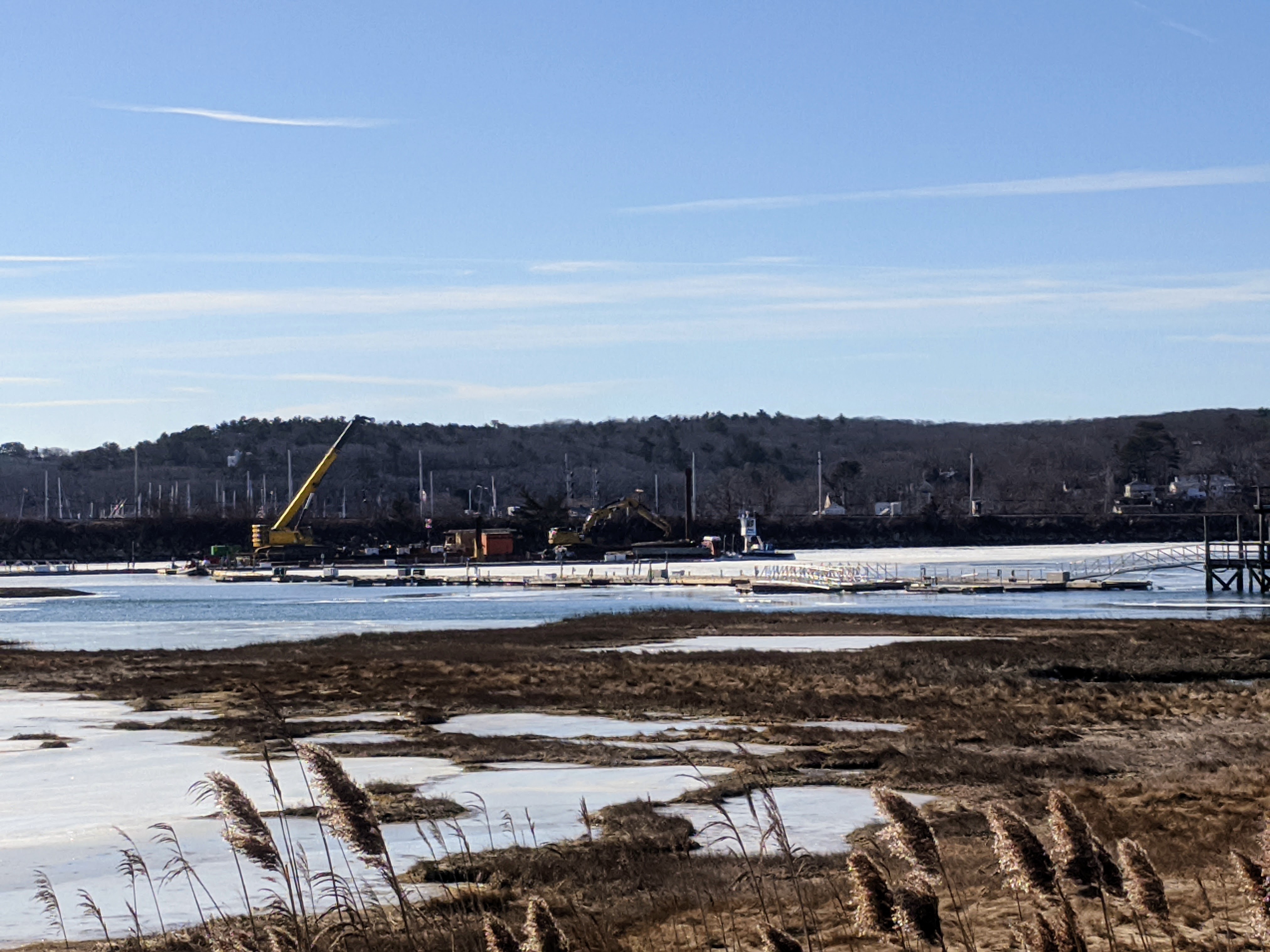
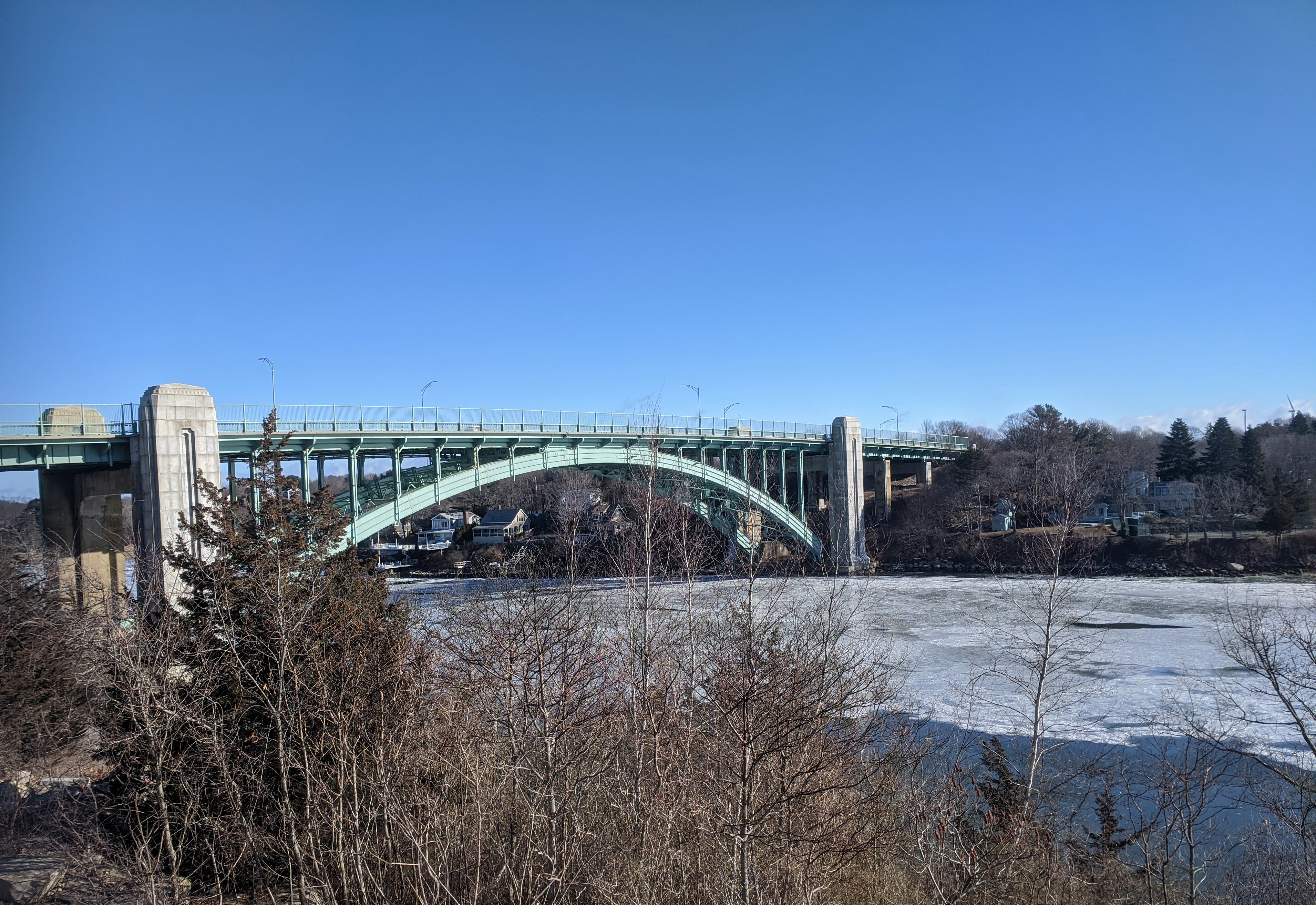
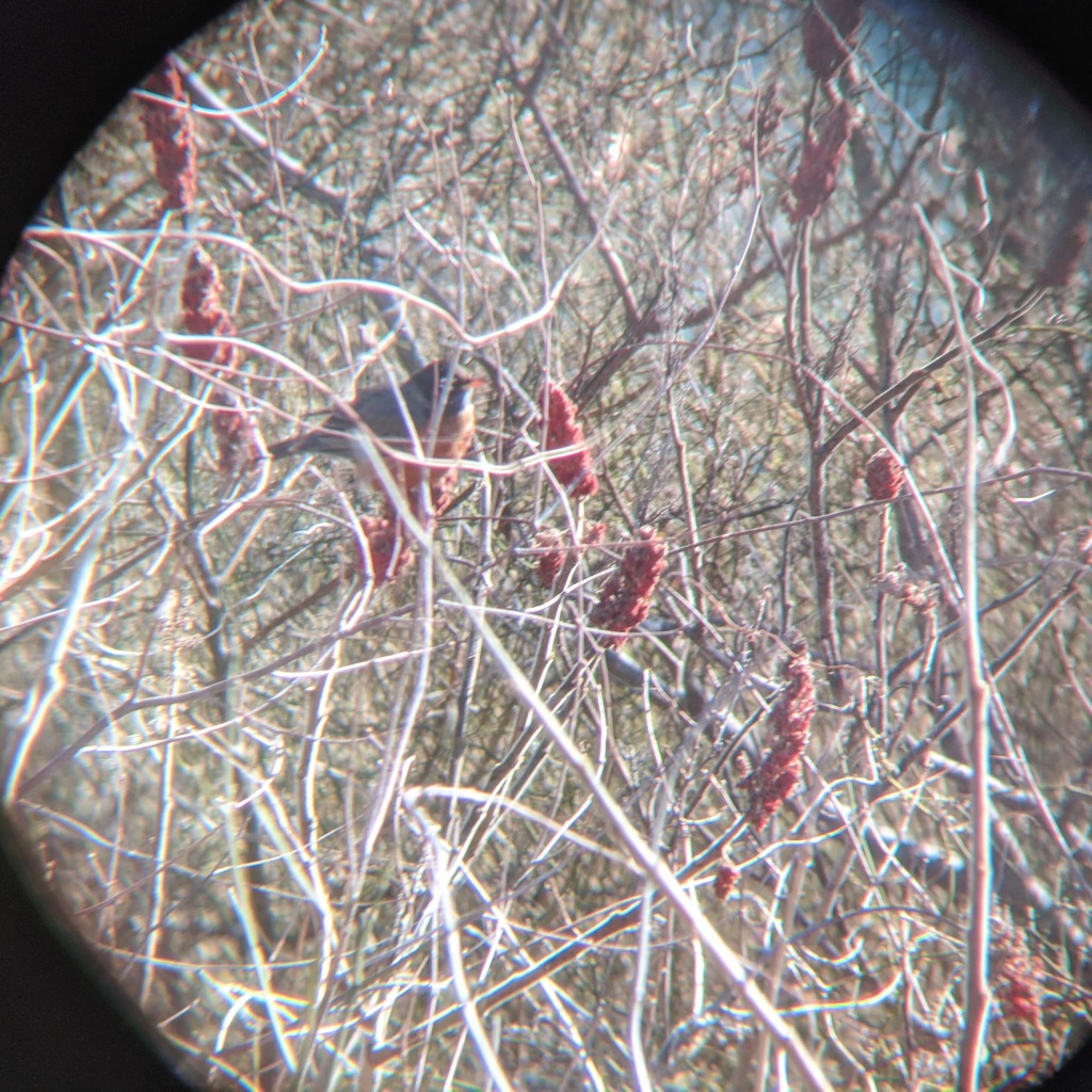
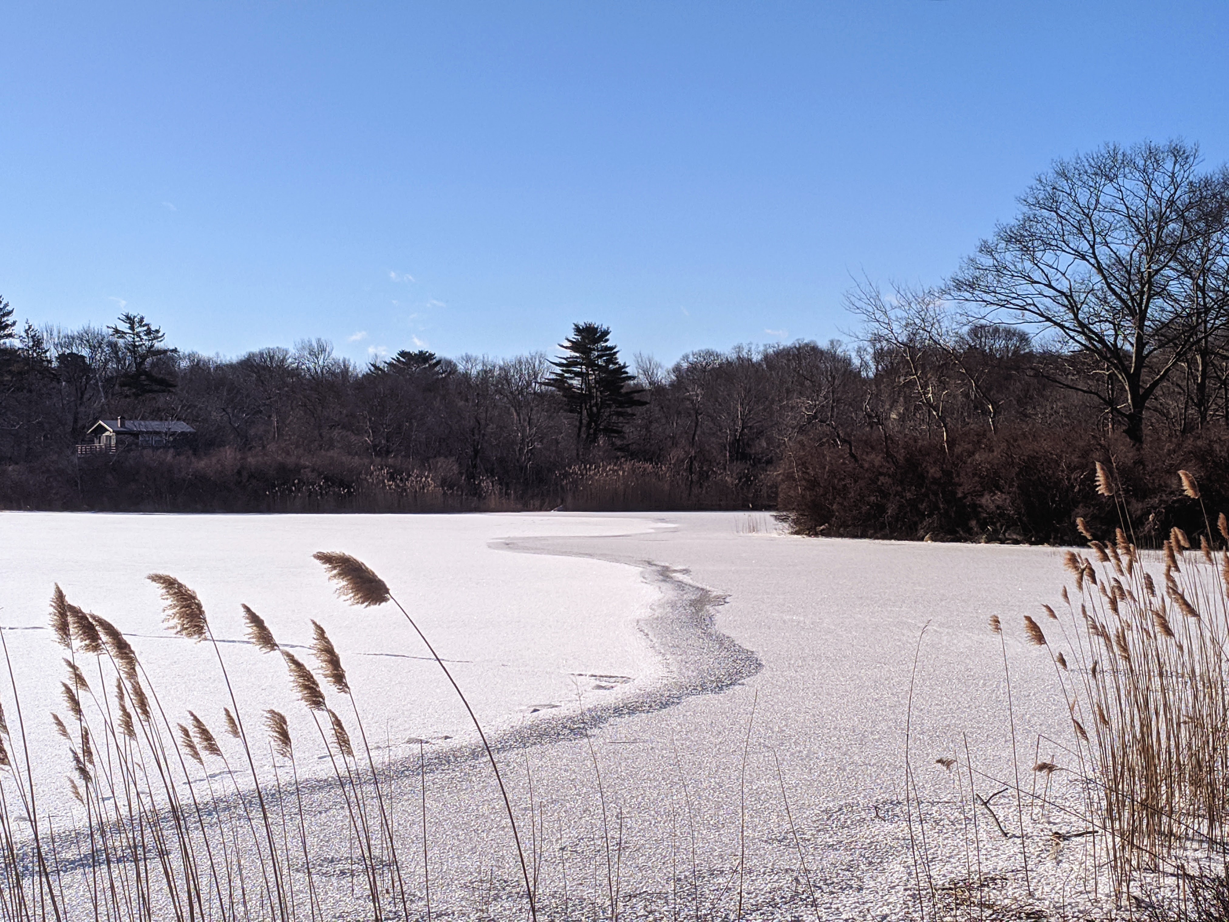
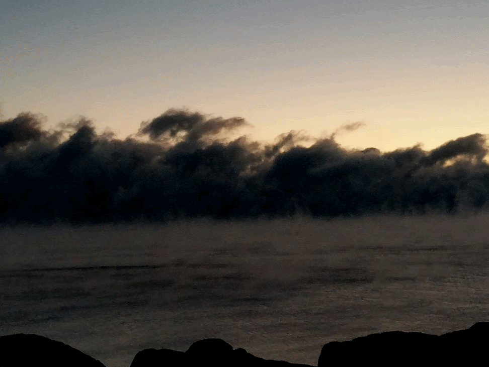
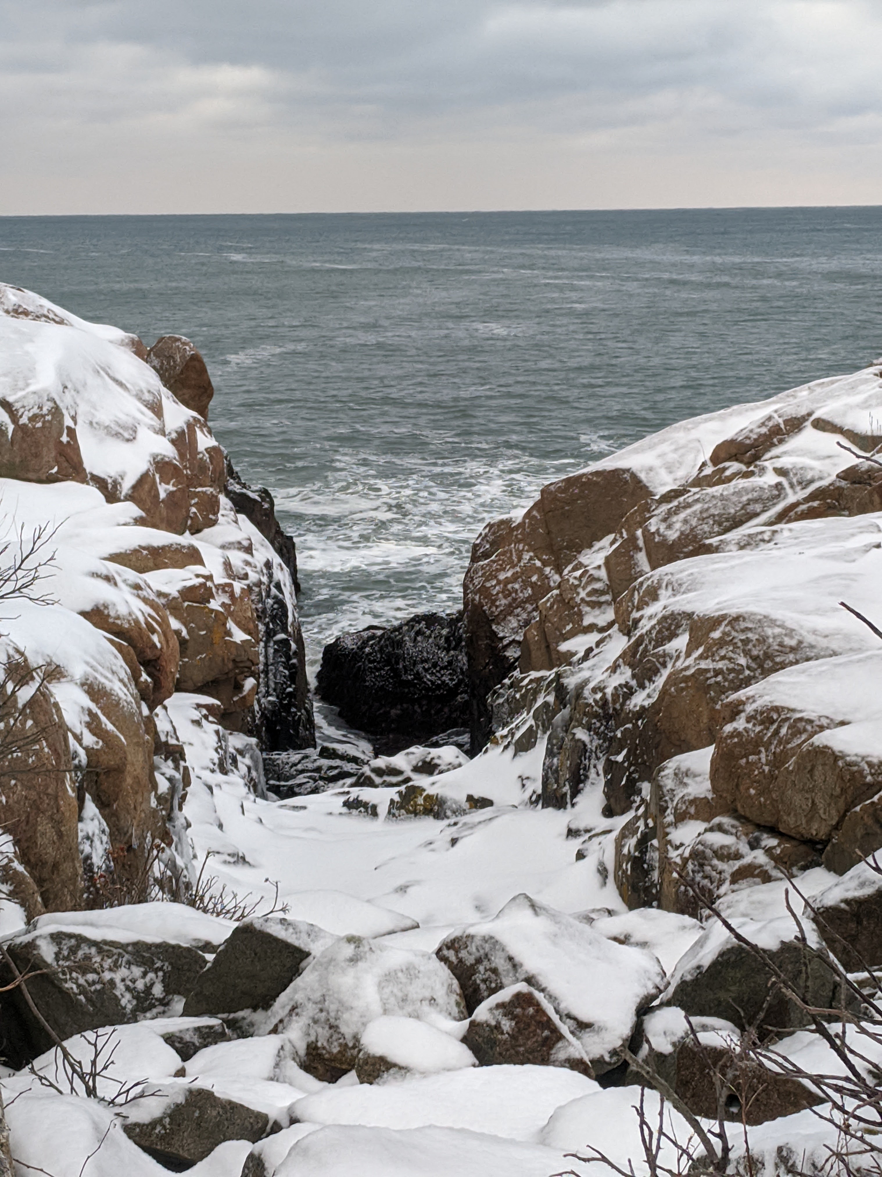
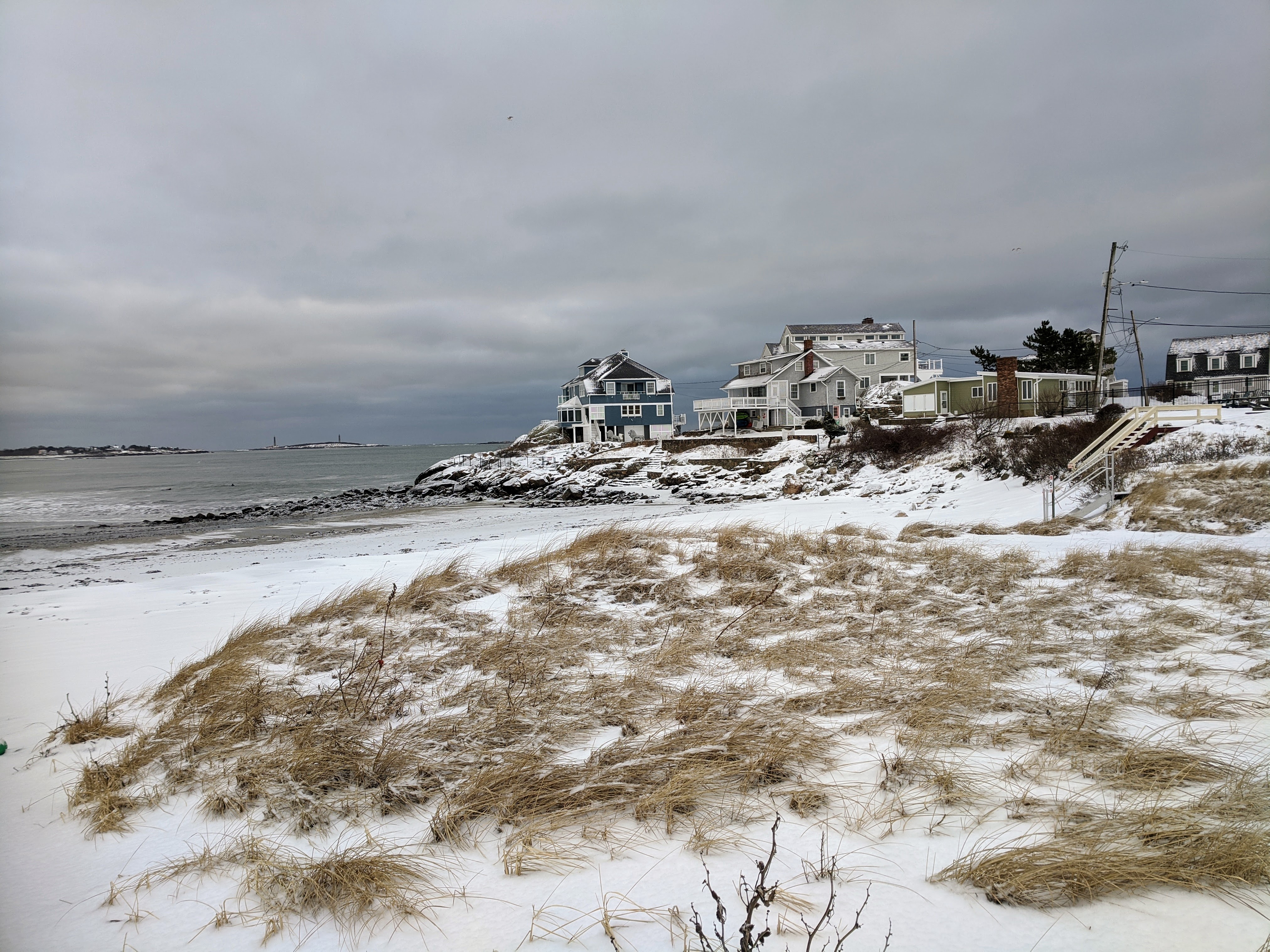
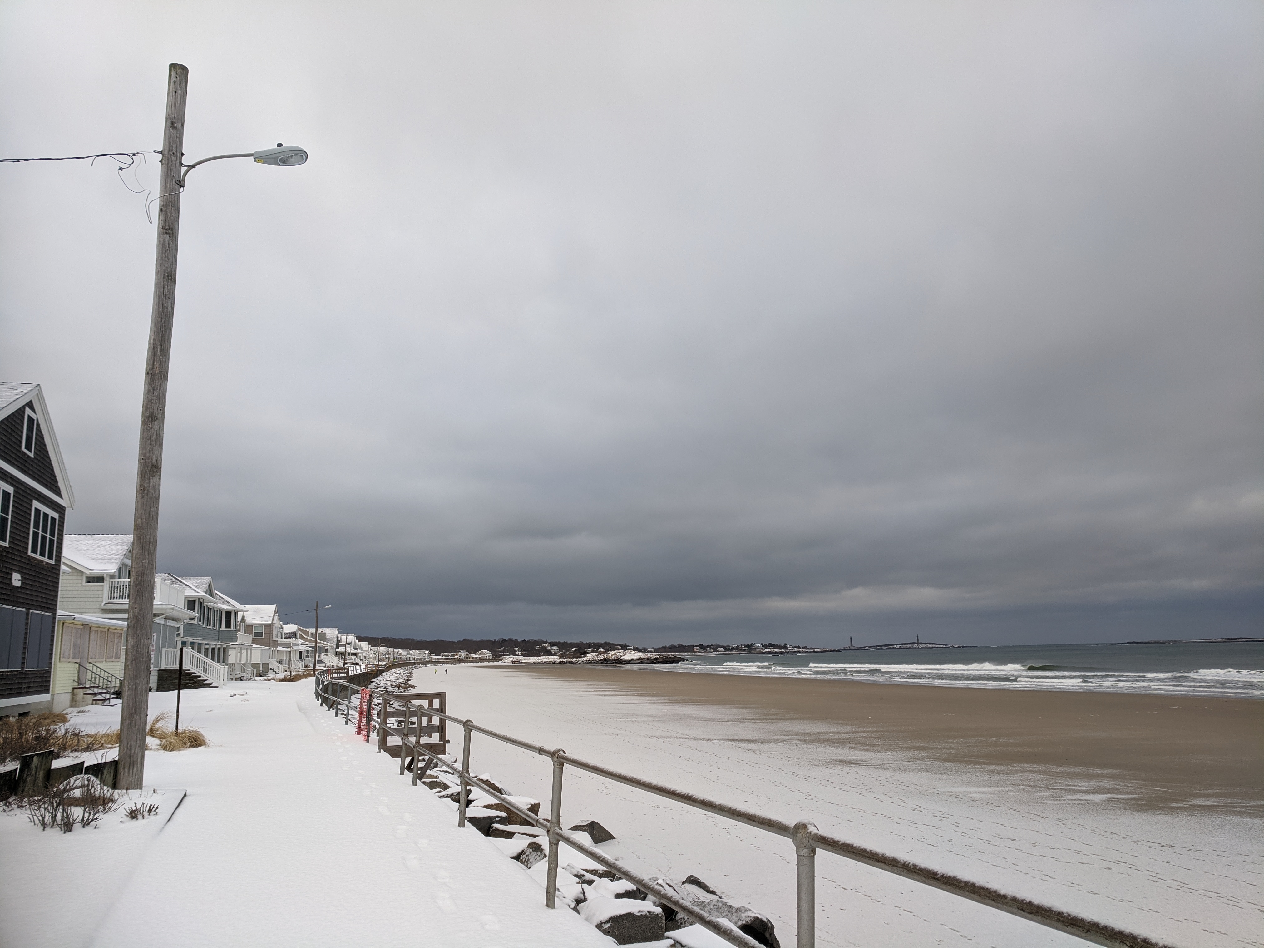
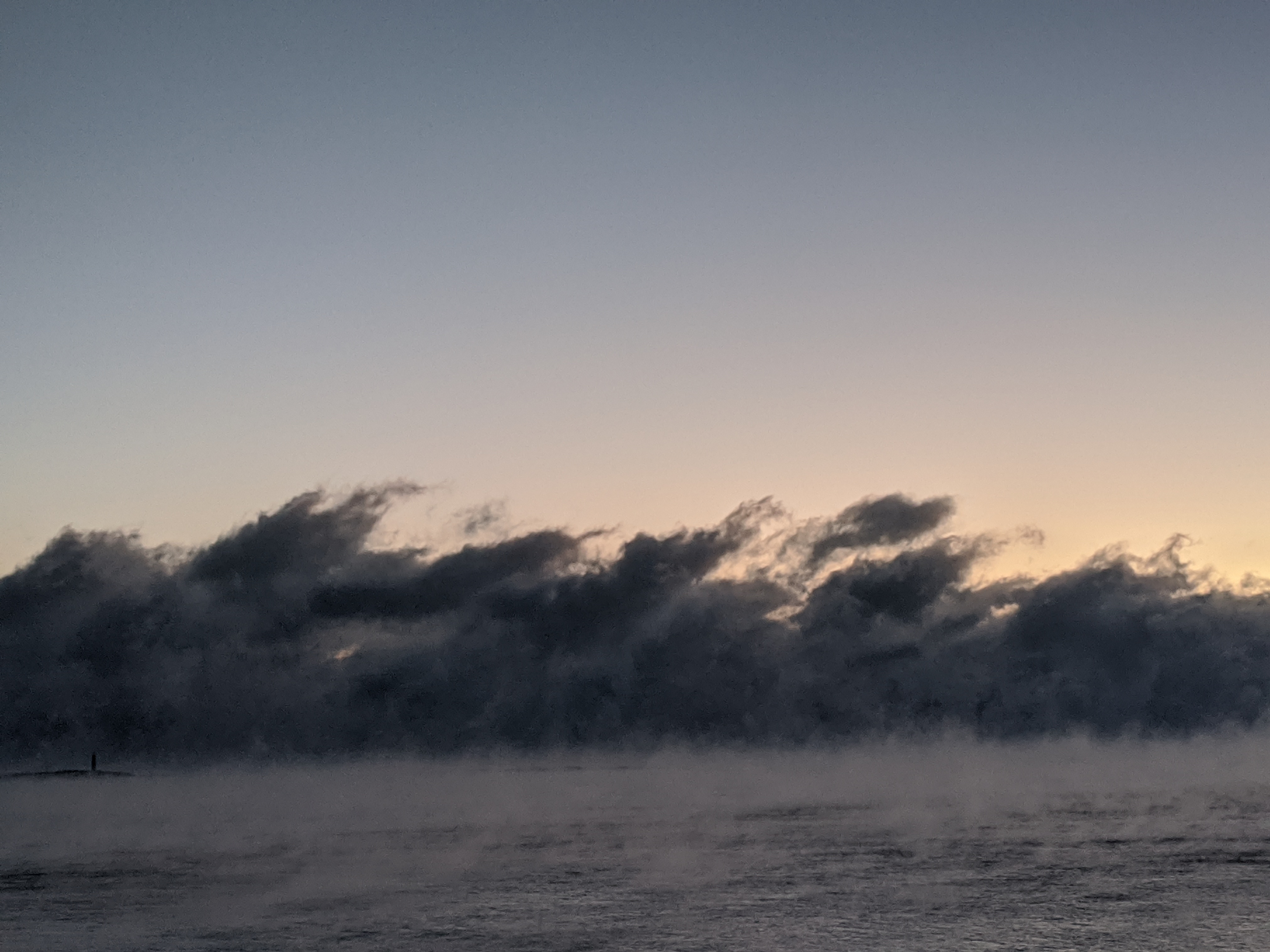
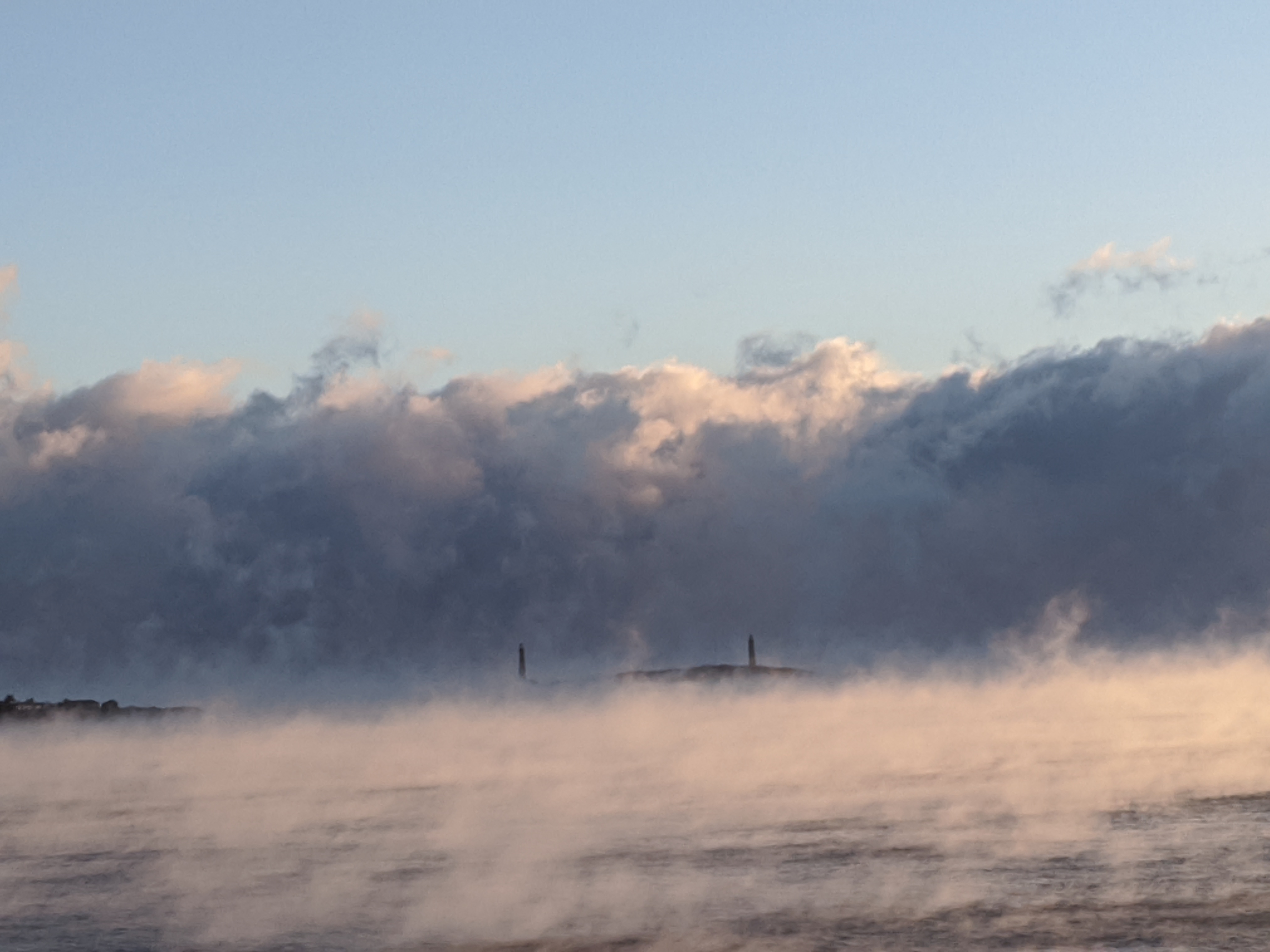
wintry day photos: Amitie related vessel (see Pat Morss Curious Visitor post) was out all night, often eerily or completely occluded in the thick sea smoke until blue skies gained; direction of the storm wind left Eastern point roadside past Niles Beach ice blasted; alas skating on thin ice at Niles Pond tomorrow; and saw groups of frenetic robins feeding in every neighborhood. Imagine the rough condition for the crew involved with this 1905 rescue and lighthouse keepers.

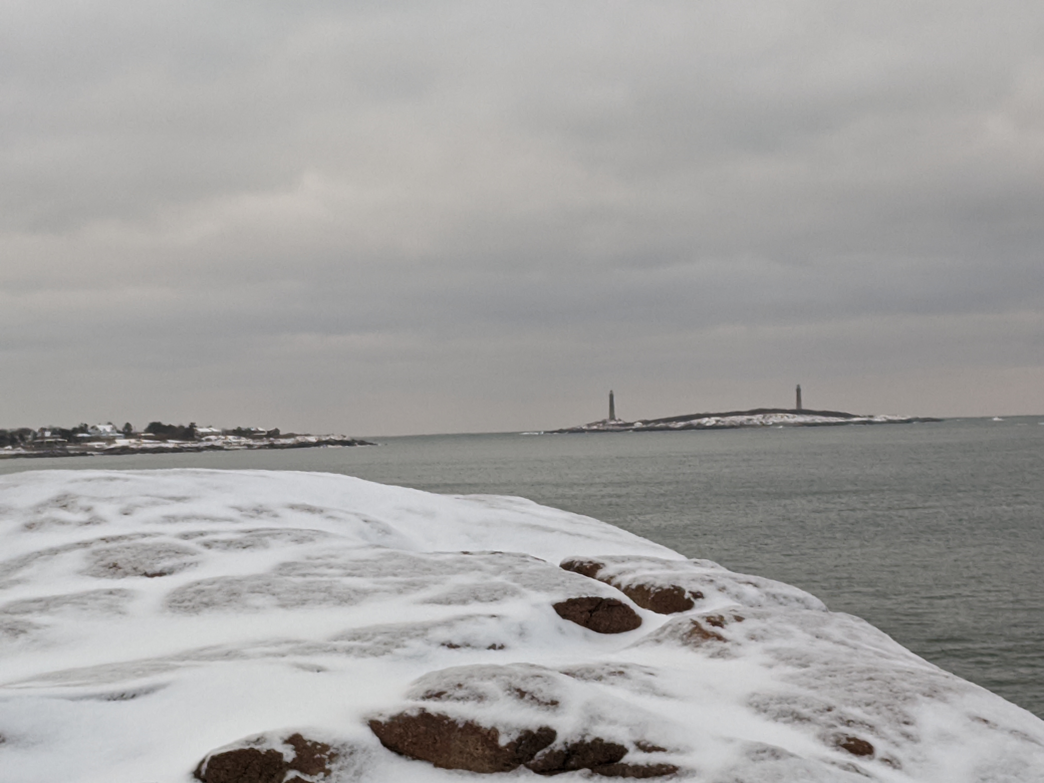
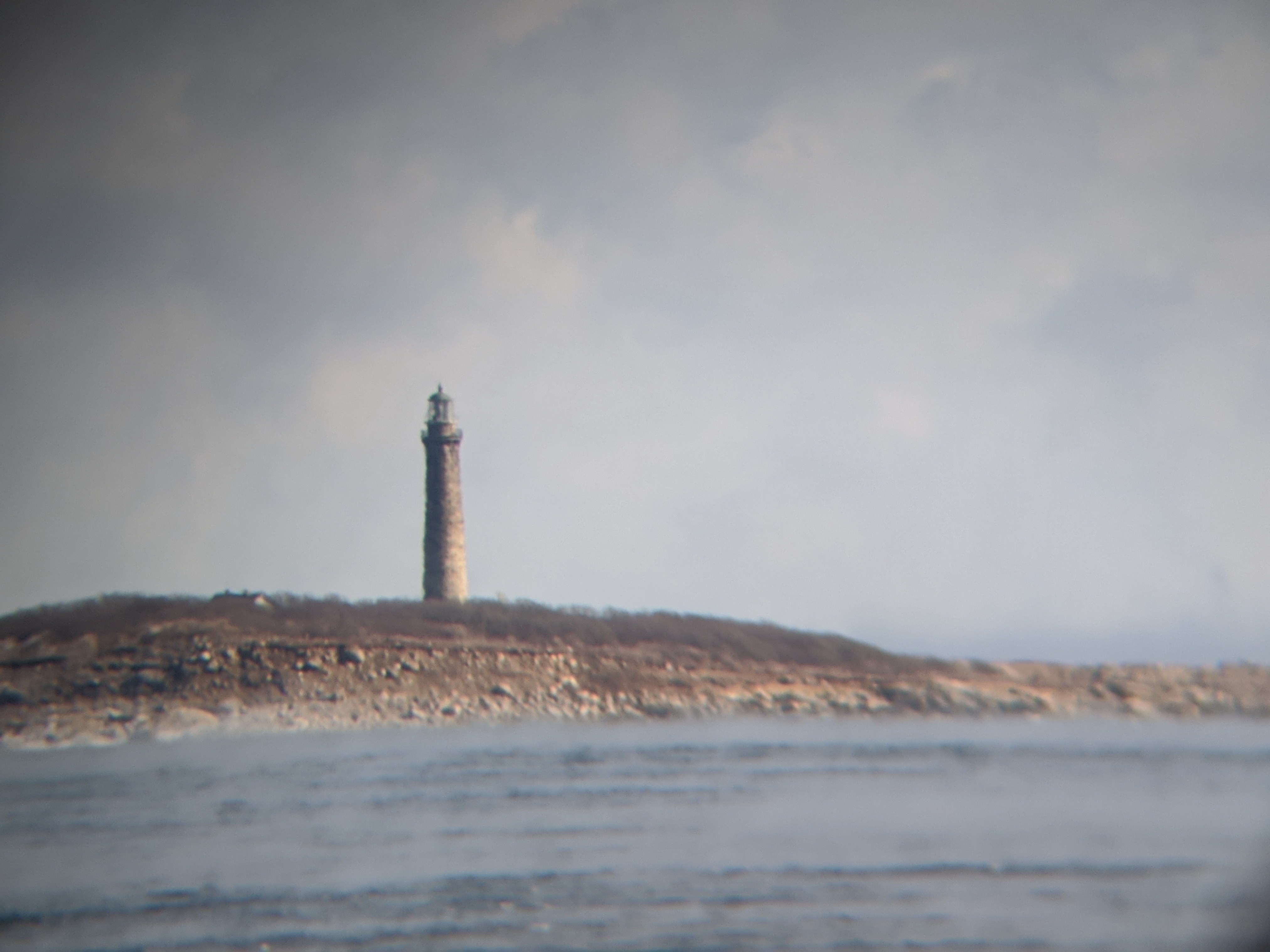
Twin Lights 6:30AM (enlarge to see tower) vs. 7:30 vs. 11 AM

per request!

15 seconds of video sea smoke past Thacher Island Twin Lights 7:30AM Feb 4, 2023

sugared dune grass and ice blasted following Friday’s winter storm #GloucesterMA

Feb. 5, 2022 Long Beach (Rockport and Gloucester, MA.) snapshots about 8am.

How much snow?

Stone and metal surfaces are ice blasted with a fresh snow dusting 1/2″ – 2″ between Long Beach and Good Harbor Beach. By daylight, the coastal rocky shoreline between the beaches would normally reveal a highway of wildlife tracks and drama. There were none today which means the rocks are thick slick coated. Instead it’s the natural surfaces- -grass, sand, brush– worn and riveted. When they’re not icy, wildlife favor those bare surfaces.

View out the windows- glazing is ice blasted

ice, ice railing | pics show metal, glass and stone vs. grass, sand, etc to give an idea of what’s out there

Want to identify local wildlife from winter tracks in the snow?

Wonderful children’s picture book

Let’s Go! Animal Tracks in the Snow! by Diane Polley with illustration by Marion Hall

and pocket guide by http://www.masswildlife.org