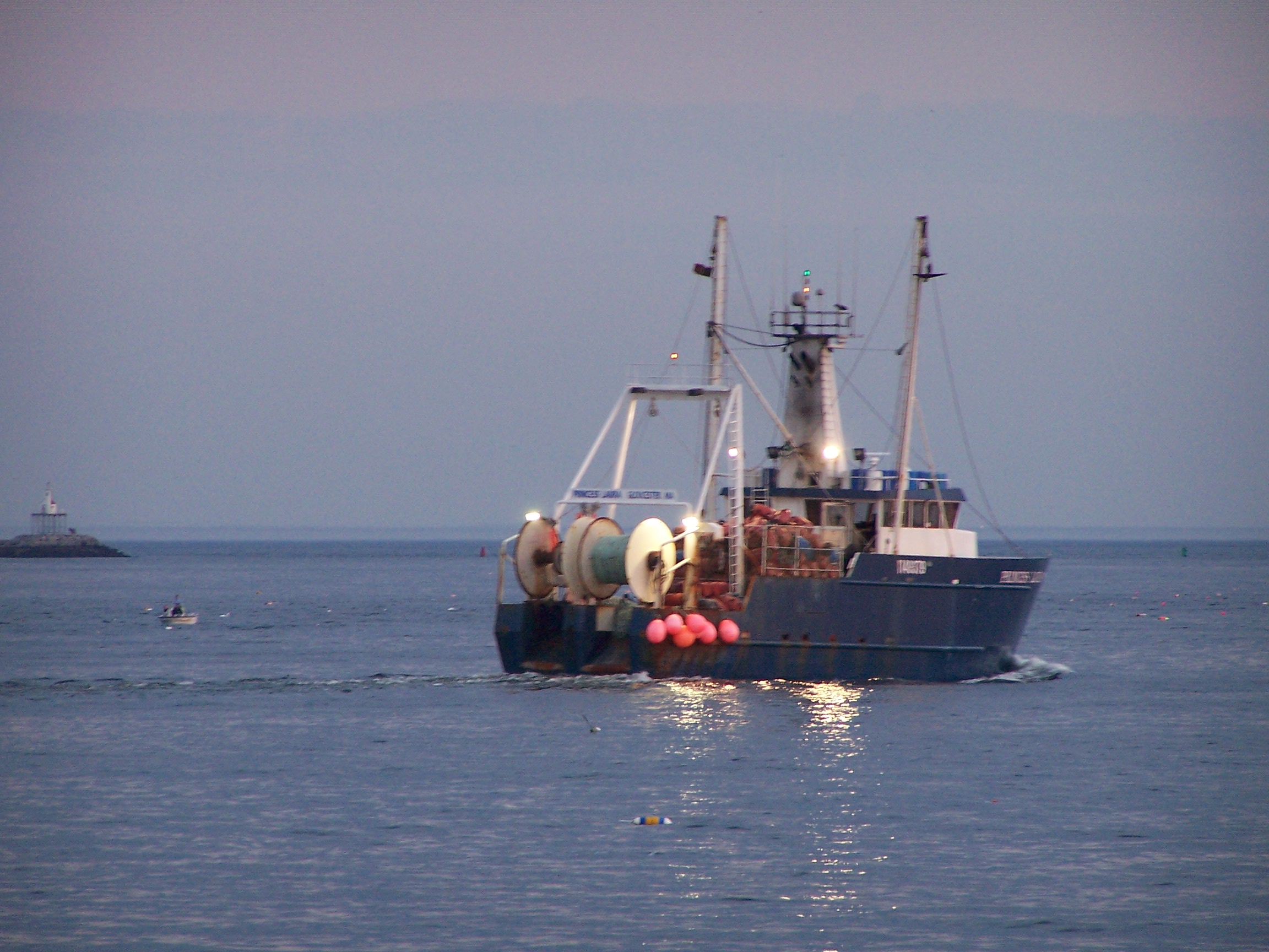
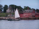
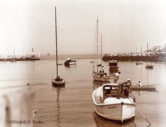
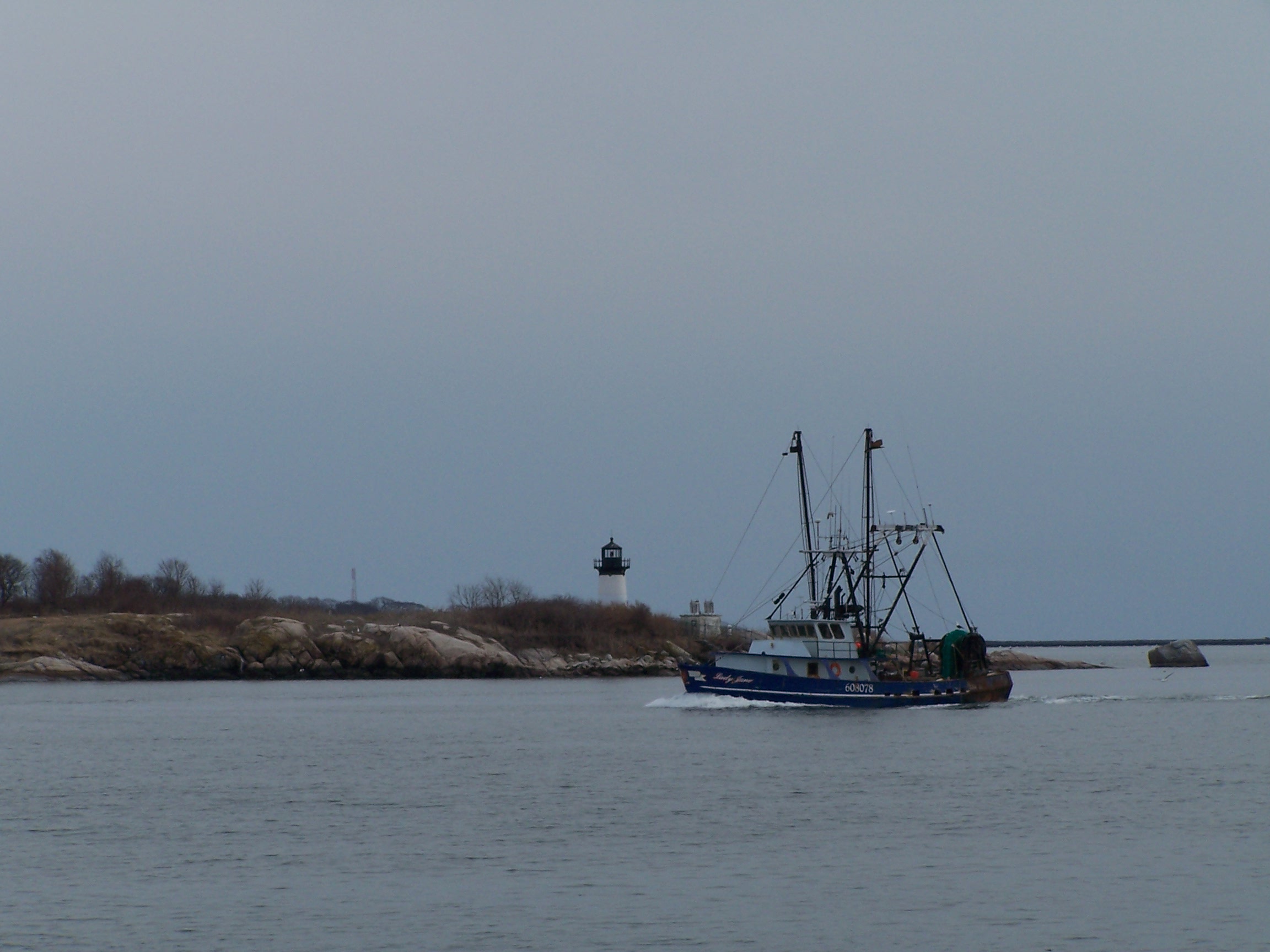
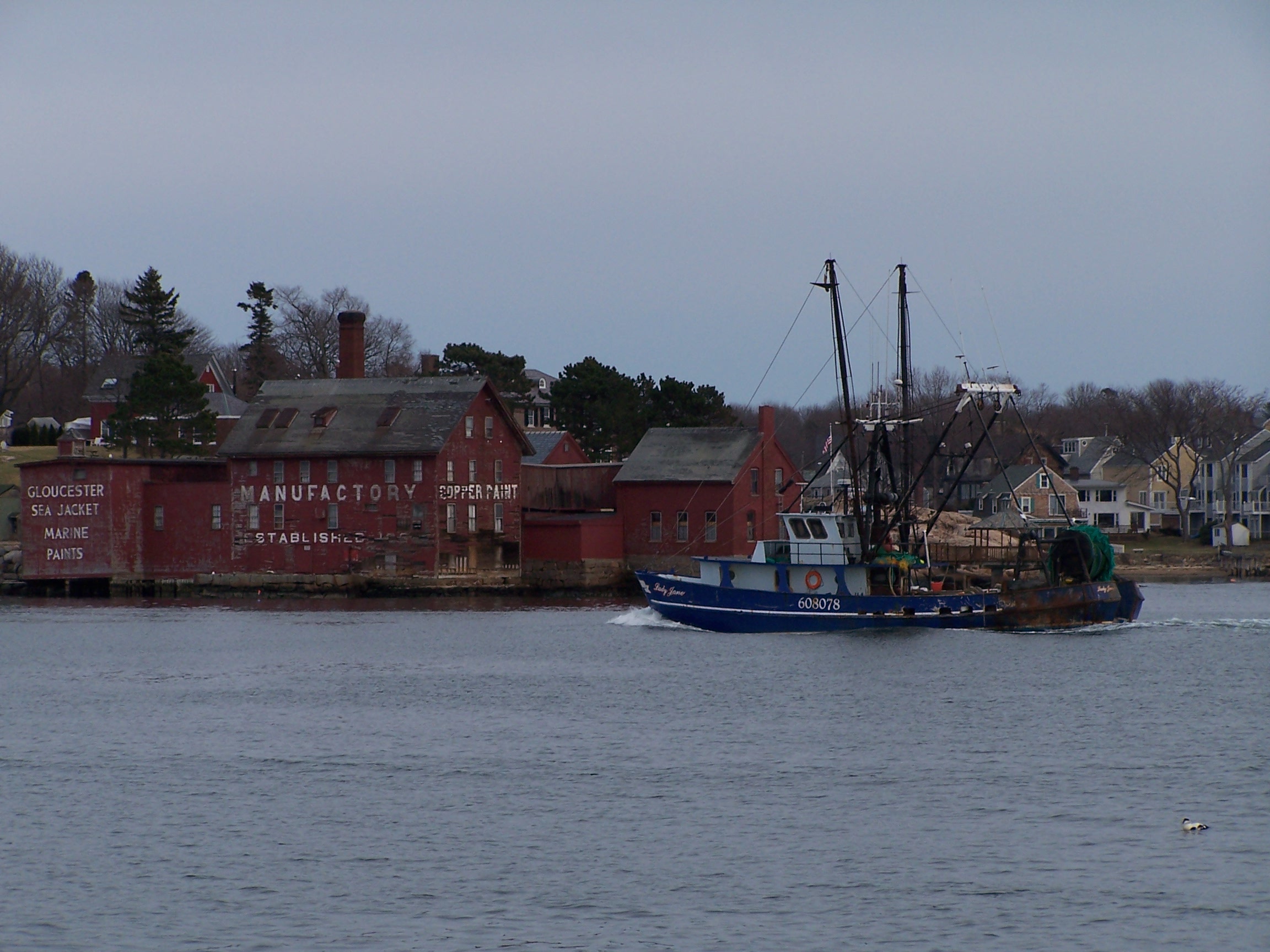
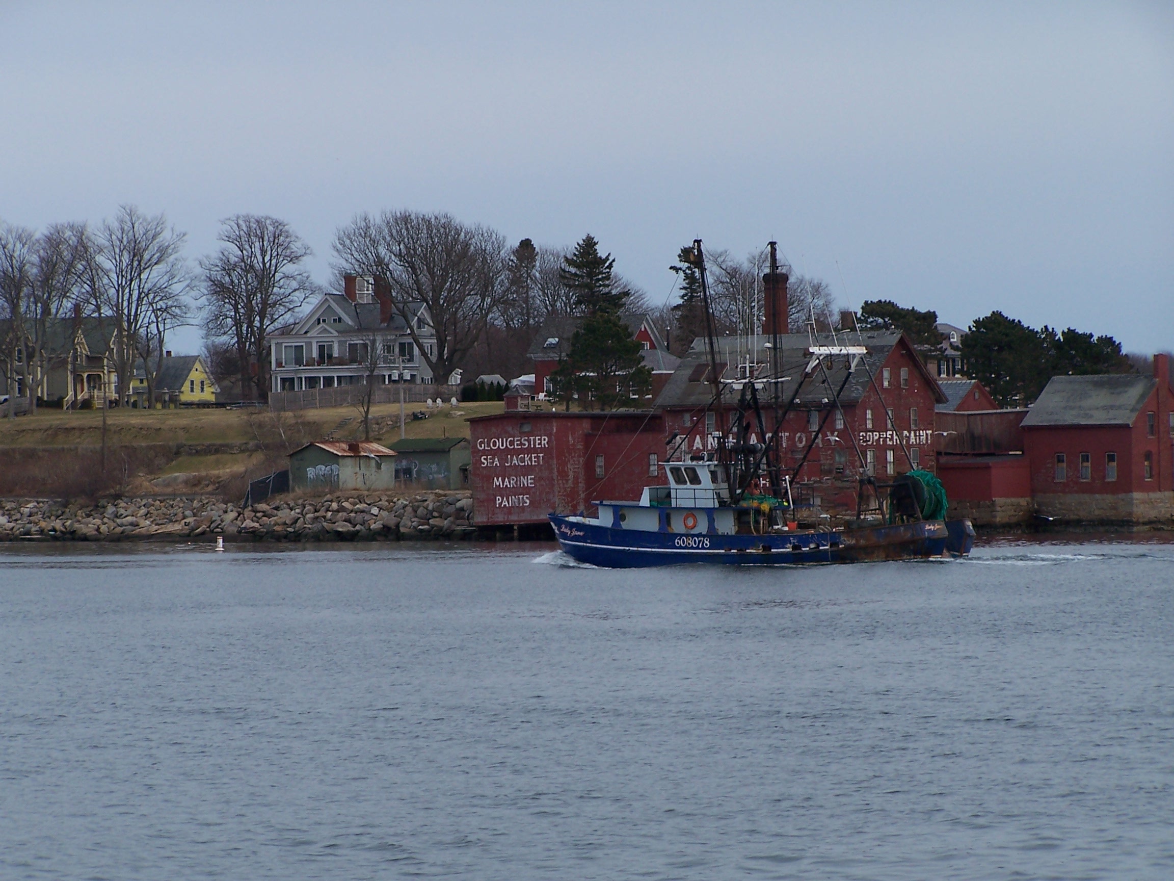
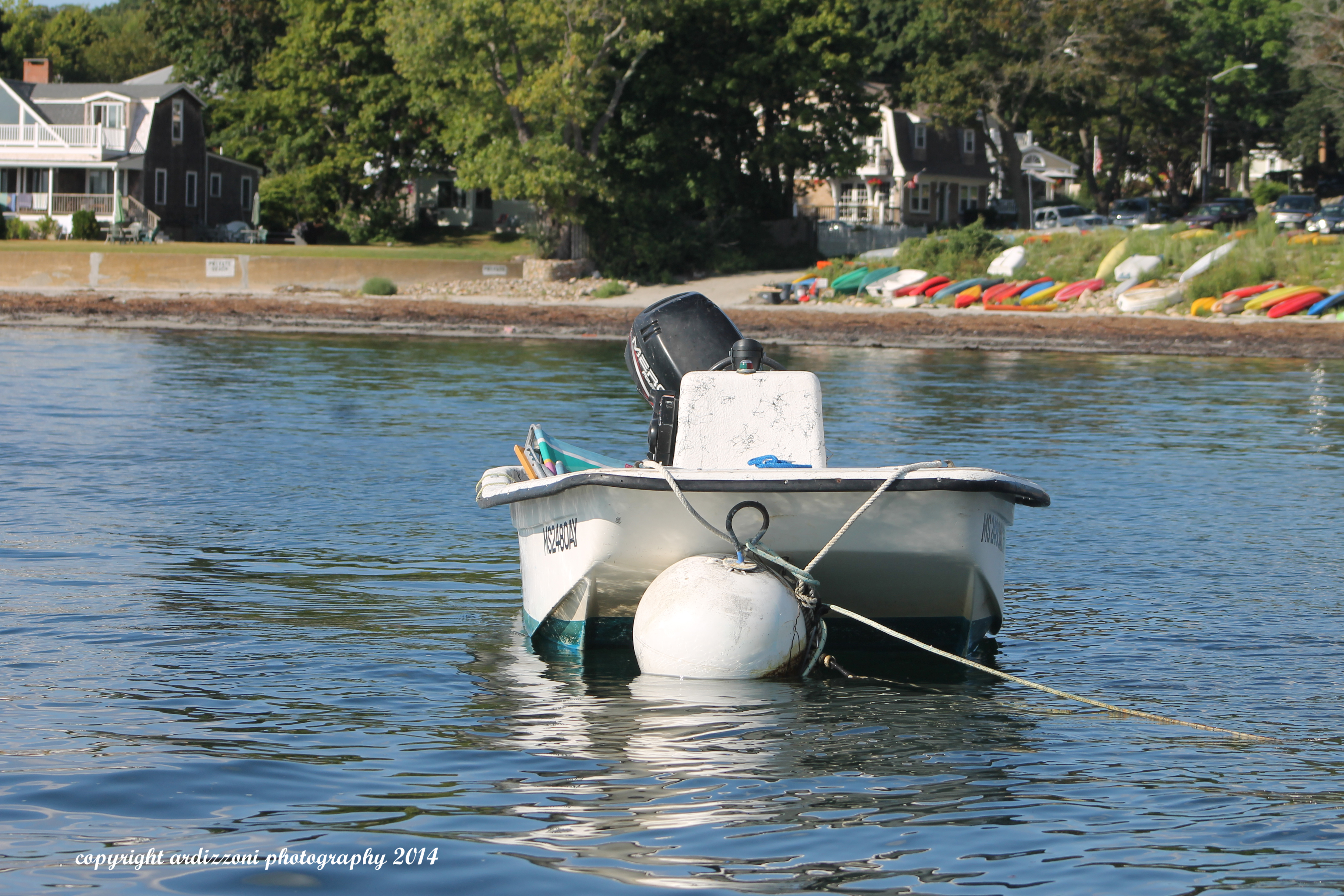
My View of Life on the Dock


There are a ton of different layers you can add to the map and adjust. Lots of interesting data.
Check It!-
http://northeastoceandata.org/maps/commercial-fishing/
This is just one-
This map broadly characterizes commercial fishing vessel activity in the Northeast based on Vessel Monitoring System (VMS) data from 2006 through 2010 (full calendar years). In general, vessels holding permits in certain fisheries are required to use VMS.1 See www.nero.noaa.gov/vms/regs/index.html for additional information, including a link to federal regulations describing requirements for the use of VMS.
This particular map is for vessels using VMS and declared into the NE multispecies fishery plan. The relative amount of vessel activity is indicated qualitatively from high (red) to low (blue). Importantly, this data was intended for fisheries management purposes supporting law enforcement initiatives: NMFS describes VMS as “a satellite surveillance system primarily used to monitor the location and movement of commercial fishing vessels in the U.S.” The map does not distinguish between fishing activity, vessel transit, or other vessel activities. The most accurate interpretation of this map is that it indicates relative levels of vessel presence.
The relatively short timeframe of this map precludes consideration of historic fishing areas. It also does not illustrate more recent or future changes in fishing activity resulting from changing environmental and economic conditions, fisheries management, and other important factors.
The data provided by NMFS contained the day/month/year, the geographic coordinates of the vessel at the time of transmission, and the vessel’s declaration code, which may signify fishery plan, program within that plan, and associated area identifier or gear-type information. These data then were aggregated by combining all program codes within each fishery plan.
The limitations of the data used to produce these maps should be understood prior to interpretation of this map.
These data are from vessels operating in certain fishery management plans and certain programs within those plans. This map displays data for vessels using VMS with a limited access multispecies permit fishing under a Category A or B Days-at-Sea or catch regulated species or ocean pout while on a sector trip, or those with a limited access NE multispecies small vessel category or Handgear A permit that fish in multiple NE Multispecies Broad Stock Areas (50 CFR 648.10).
It is important to note that these data include all trips using a NE Multispecies VMS code by vessels with these permits, and as such, may include trips that target other fisheries but use a NE Multispecies VMS declaration for another fishery as a management and reporting mechanism. There are many New England fisheries not described through any VMS-derived maps.
VMS data is subject to strict confidentiality restrictions. Therefore, the map shows vessels’ locations following the removal of data that would have indicated individually identifiable vessel positions.


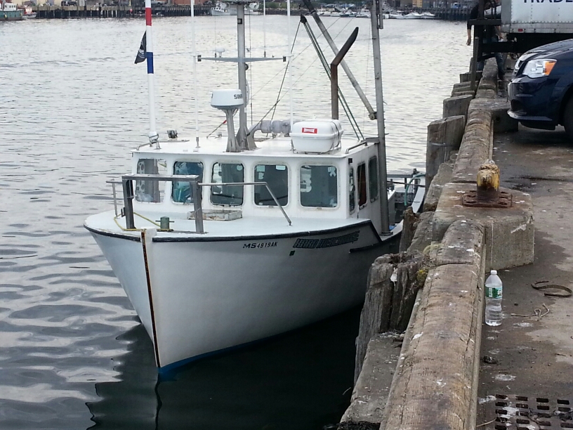
F/V Trapper John 2014

The Crew Of The Benjamin C, Our Grandfather Captain Joe In The Middle 1947


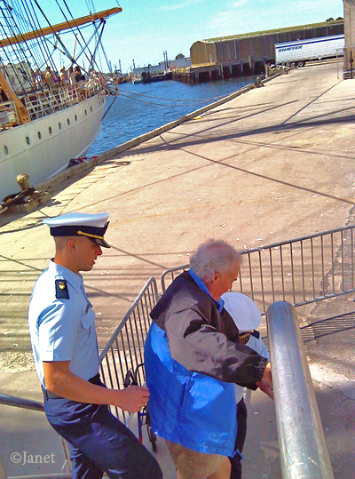
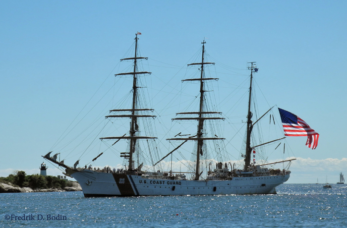
 After photographing USCG barque Eagle Friday afternoon, I wanted to take the deck tour on Saturday morning. The boarding ramp didn’t look like it would be too steep for my rollator at 9:30 am, low tide. But when I approached the stairs, I knew it would be a challenge. Both the ramp and steep stairs would have to be walked without the aid of my four–wheeled walker. I got on the ship with hard work and a sailor standing by. The main deck was fascinating and crew was fun to talk to, including officer candidate Flores, my tour chaperone.
The climb up the stairs disembarking Eagle was exhausting, especially going up. Two crew members guarded me against a fall in back and in front of me. On the last two steps, I asked for and got a “lift.” They were very happy to help me, and it was welcome. I thanked them for an excellent physical therapy session. Once on terra firma, my legs were shaking. I had pushed myself to the limit. When I heard the distant blasts of Eagle’s horn as she departed this afternoon, I realized what the experience was all about: I had challenged the stairs to stop me, and they could not.


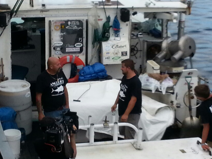
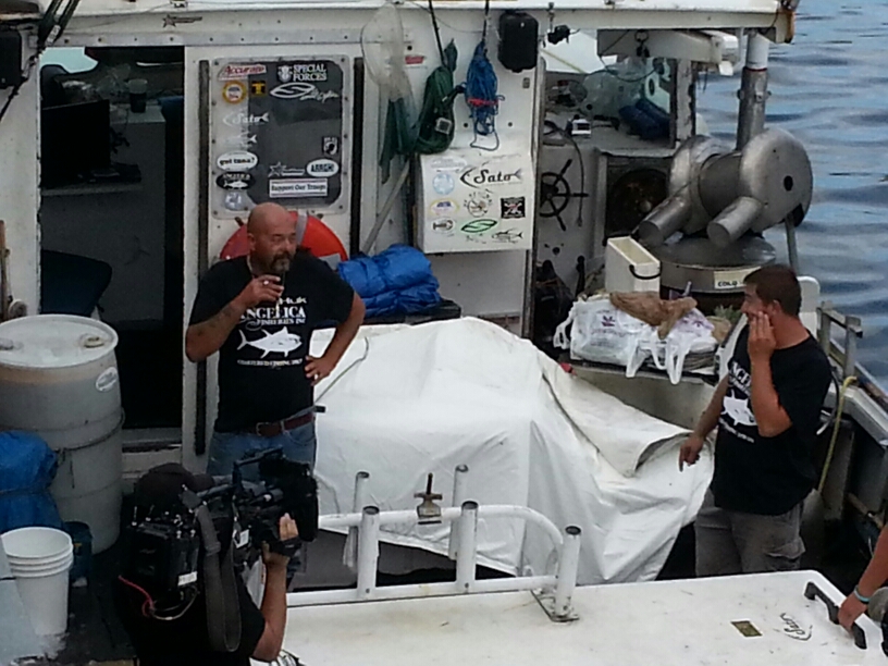
Caught the Hard Merchandise unloading a couple of Tuna today at 7:45am.


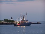
5:00AM First Boat Of The Day, The Mighty Cabaret V

Captain Pete is looking at the stinky bait thinking to himself- “Do I really wanna do this?”
Stretch Pete, you’re gonna get through it.

Setting Up the Davit


Click photo for animated GIF-


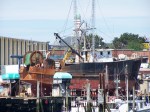
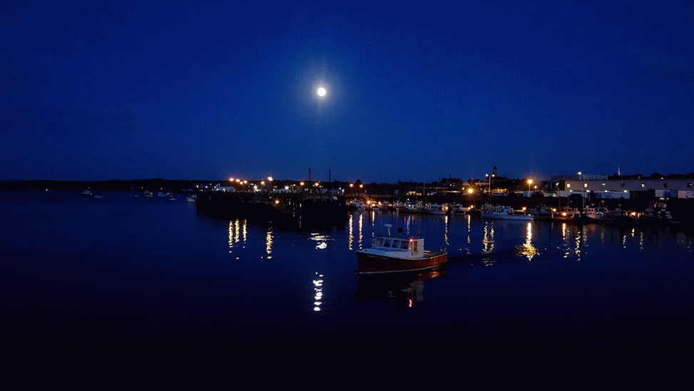
Found on the Hard Drive Gloucester Harbor 2006