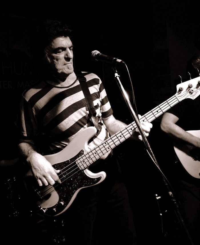
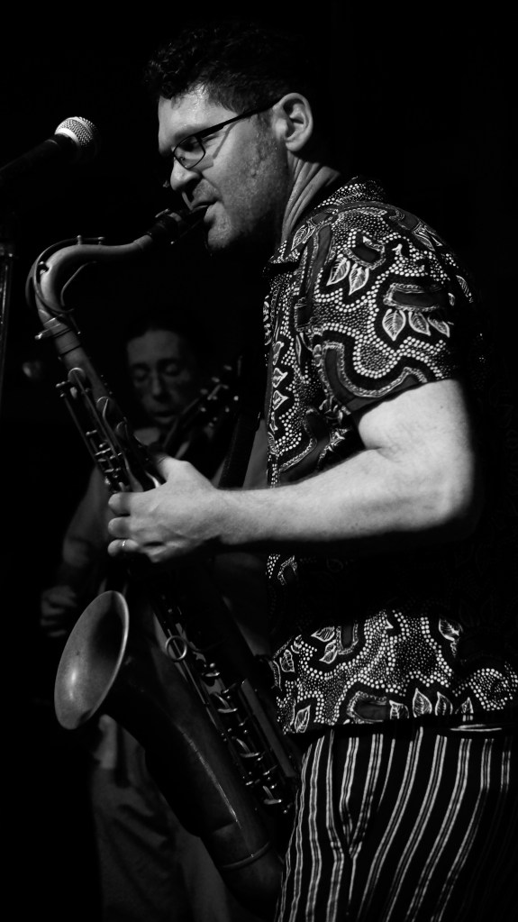
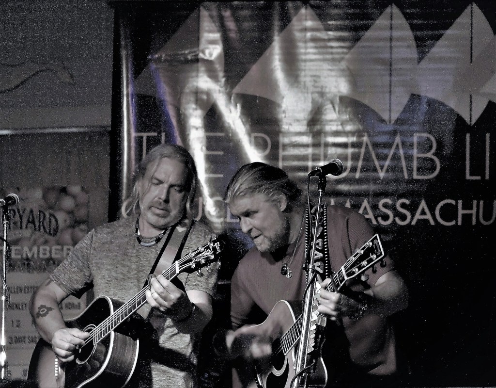
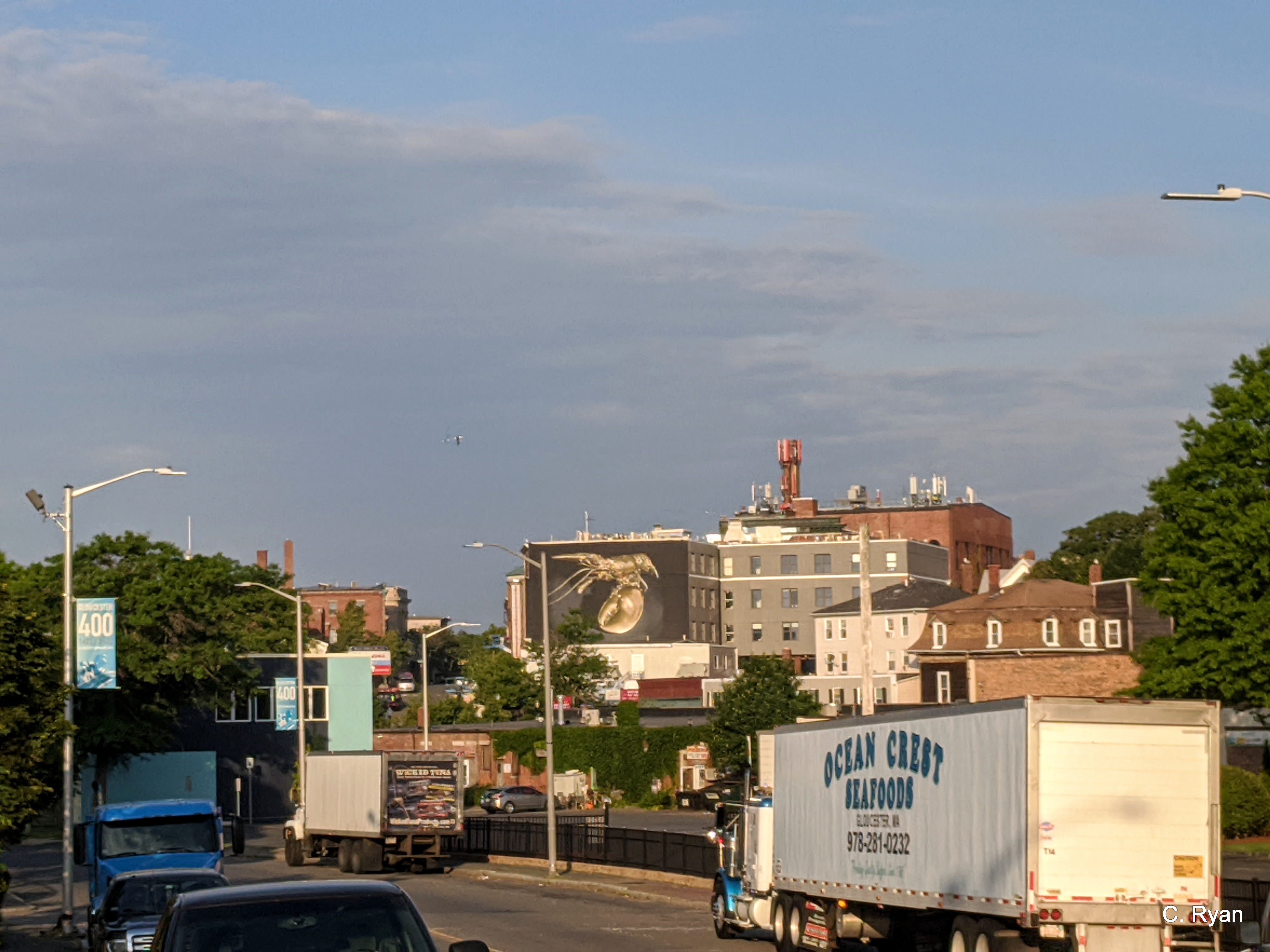
Fred Shrigley says, If you are coming to the Rhumb Line be aware that most of Washington St is under construction and parking is impossible after 8am in the morning…cones are everywhere. I will see if the construction crews can remove the cones after they are finished their day’s work. In the meantime:
Plenty of parking a short walk away at the MBTA parking lot which is free at night and mostly empty
Spread The GMG Love By Sharing With These Buttons:
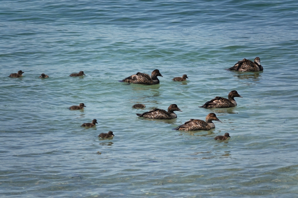
A quick transition from a chilly spring to a summer heat wave. The Rhododendrons are blossoming from buds, the Chickadees are at work (I think he’s supervising and she’s building), just a lone coyote on the Audubon land, a first sail past Eastern Point light, and an Eider extended family enjoys a swim along Raymond Beach.
Spread The GMG Love By Sharing With These Buttons:
Hi Joey ,It’s Dean Burgess,it’s not too many times we get to see double lady slipper flowers ,These are at Bothways Farm in Essex .Are there any others out there on Cape Ann ? Only the nature lovers in the GMG world will know .
Spread The GMG Love By Sharing With These Buttons:
MASSACHUSETTS–ANNISQUAM RIVER – Full Channel Closure Massachusetts Bay Transportation Authority (MBTA) Bridge across the Annisquam River, mile 0.7, has been removed to allow for construction of a replacement bridge. The channel through the bridge will be closed to all vessel traffic from 6:00 a.m. Monday June 7, 2021 to 6:00 a.m. Wednesday June 9, 2021 to accommodate a 1000 ton Gantry Barge and several workboats fitting the replacement bridge into place. The barge and equipment will not be moved from the channel outside of working hours. From 6:00 a.m. Wednesday June 9, 2021 to 4:00 p.m. June 11, 2021 vessel height restriction will be in place while electrical components are installed. Vessels able to transit without a bridge opening may do so. Mariners can contact the Harbormaster via VHF CH 16/13. Questions may be directed to the MBTA Resident Engineer, Mr. Matt Moorehouse at (617) 839-8075 or J.F. White Contracting Mr. Mike Keville (617) 908-2405 or Mr. Tim Chase Sector Boston Waterways Management at (617) 447-1620. Mariners are advised plan accordingly. Chart 13281 LNM: 22/21 (CGD1)
Spread The GMG Love By Sharing With These Buttons:
I was recently studying the area we live on a nautical map and noticed the terms “Subm piles” and “Subm Groin”. I had to wonder…… because I am easily amused, the fact that the piles were south of the groin on this map of Freshwater Cove brought a giggle forward.
I concluded that “subm” must indicate submerged (I am not without some insight) and I had an idea what piles were in nautical terminology. I asked around a bit about “groin” without success. So, I googled it…….
According to the National Park Service, groins are used to maintain beaches and limit “longhsore sediment transport” (erosion?). And now we all know. It’s your “News You Can Use” segment of the blog…….
Spread The GMG Love By Sharing With These Buttons: