WhereZat? Winner! Micah again?

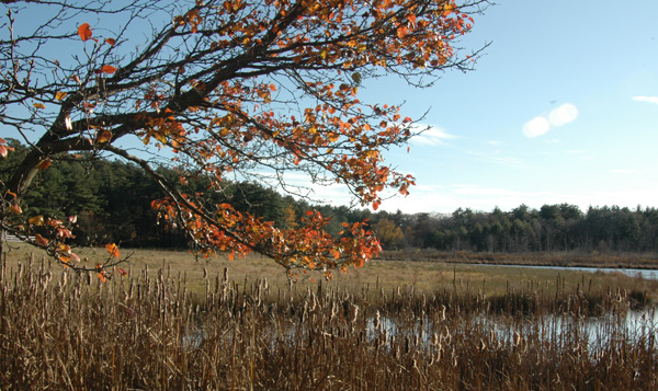
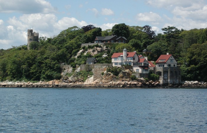
Here’s another view of the photo location- off Summer St. in Manchester where those steer used to be. I thought this might be easier than it was, but only one person got it-Micah Dean! Congratulations!

Thanks,everyone, for playing. See you next week!

6 Responses to WhereZat? Just for fun!

  1. swimdad says:

    Marsh around Concord and Bray Streets

  2. George Burton says:

    Is it Niles pond

  3. George Burton says:

    Niles Pond

  4. Is it Clark’s Pond

  5. Micah Dean says:

    On 127 in Manchester, just east of the Railroad bridge?

  6. Mike Titus says:

    Atlantic Street near Camp ground, pull out, looking North

WhereZat? Winner!

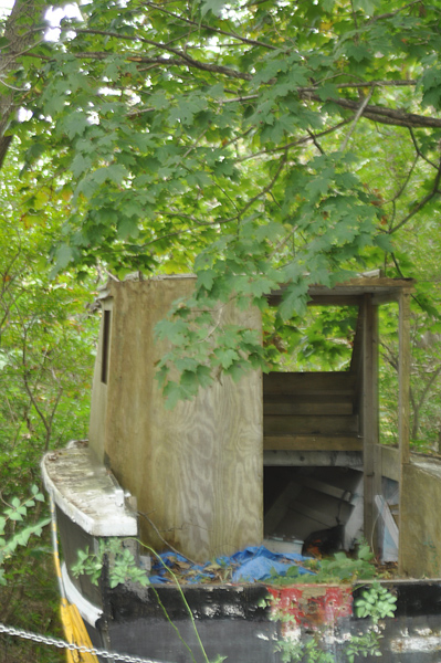
4 Responses to WhereZat? With a prize! Nate was the first to identify the location and Kurt and Dean got it a little later. Congratulations, Nate. You can pick up your t-shirt down at Joey’s dock.

Thanks,everybody, for playing!

  1. Nate says:

    Pass by there everyday and it’s just up the road from my house in Lanesville. Boat sits on the Natti’s old property just across from the farm on Washington Street. Also between Canney and Butman quarries. Used to swim and fish there when I was a kid.

    Neat old boat.

    Nate

  2. It’s on Washington Street, after the fork with Langsford in Lanesville. Just past the Evangelical church, tucked into the trees on the right. Is that accurate enough? I run past their every other day. :)

  3. Anonymous says:

    The cove in Lanesville?

  4. dean horne says:

    that is in lansville just past leverett street on your right i guess it is washington street

WhereZat Winner!….Almost!

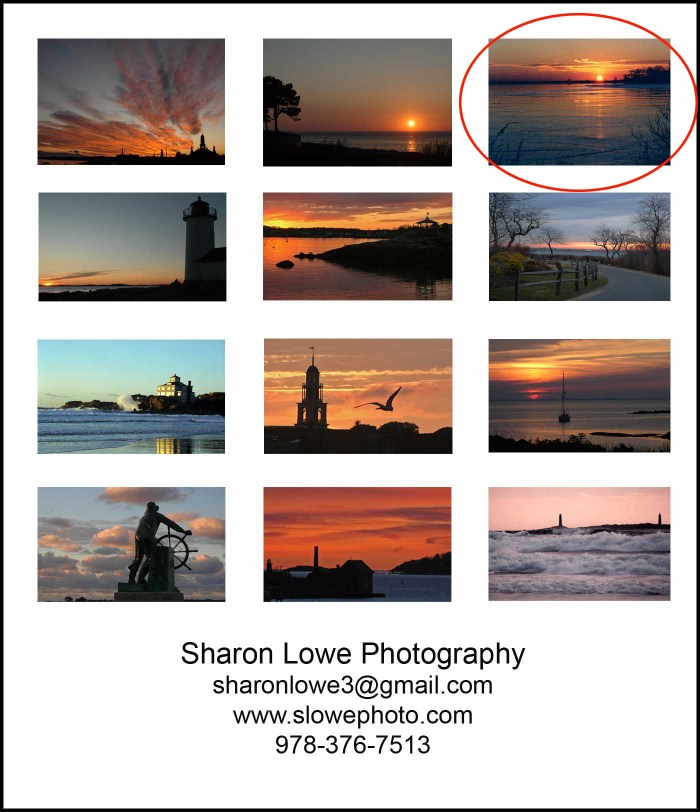
Swimdad has identified all but one of the 12 photos in this week’s game. Can anyone help him out? Little by little he’s gotten each one, but this one’s stumping him. He’s about to give up. Thanks for your help!!!

Here are his responses-

  1. swimdad says:

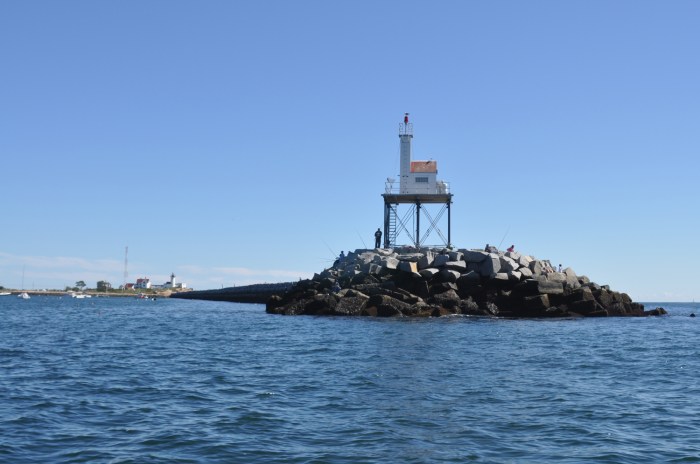
    City hall skyline, Magnolia, Little River, Annisquam Light House, Niles Beach, Magnolia Road Pic, Thai House Good Harbor Beach, Unitarian Church, Sail boat Plum Cove, Man at the Wheel Blvd., Paint Factory and Thatchers Island Twin Lights

  2. swimdad says:

    City Hall Skyline, Magnolia, Little River, Annisquam Light, Niles Beach, Magnolia, Thai House Good Harbor Beach, Unitarian Church, Plum Cove, Blvd. Man at the Wheel, Paint Factory and Thatchers Island Twin Lights

  3. Sharon says:

    Swindad- very close, but not quite. Keep trying!

  4. swimdad says:

    Change the church to the Trinity Congregational.

  5. Sharon says:

    3,5, and 6 aren’t right yet, and the first guess on the church was correct, Swimdad. Keep going!

    • swimdad says:

      The only place that #6 could be to me is Niles Pond. 3 and 5 I am totally stumped on. Not bad though for only being in Gloucester for 3 days out of the last 24 years! #5 Harbor Side of Rocky Neck by the old Rockaway Hotel and #3 no eye deer. I give up.

  6. Sharon says:

    Good, you’ve gotten #5 and #6. Now a hint for #3. It’s a different view of one that you’ve already identified. You’re doin’ great!!

WhereZat Winner!

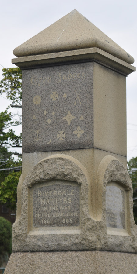
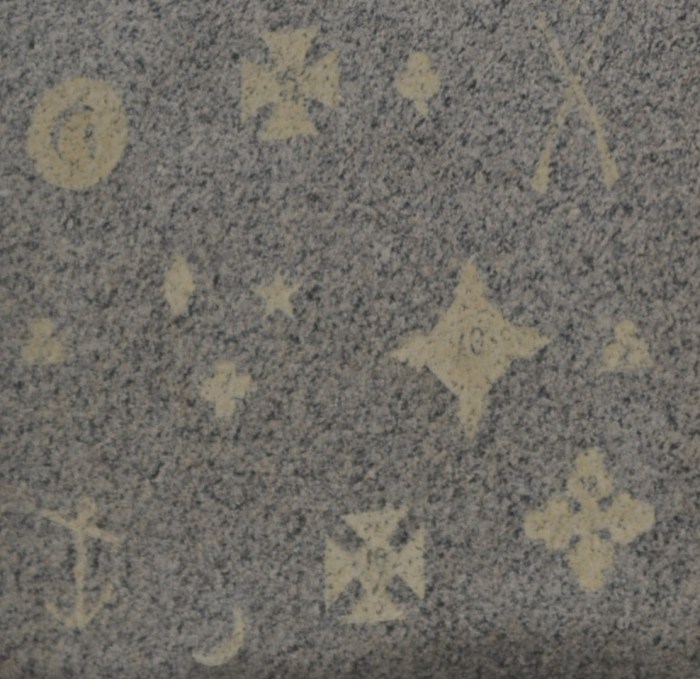
justin demetri says: “civil war memorial in riverdale, by captain hooks” and he’s right! Swimdad did a great job of trying to figure it out, though. I wonder if Justin or anyone else has  information about the symbols on the structure.

See you next Monday! Congratulations, Justin! See Joey for your t-shirt. And as always, thanks for playing!

This week’s WhereZat? has another T-shirt PRIZE!

Last week Matt Ayer was the first person to pinpoint the location as the Central Grammar Apartments The 1940 clue  was the year of last graduating class from what was the old high school. (I only know because my father graduated that year.) Congratulations, Matt and all the others who got the answer! Matt, you can get your t-shirt down at Joey’s dock.

How about this snippit? Where is it? One clue- It’s totally out in the open. You don’t have to climb the City Hall steps, walk through the woods, or swim out to the island. Good luck and thanks for playing!!

—-Sharon

WhereZat? Clues! With a T Shirt Prize

Nothing like fall in New England, so here’s some colorful foliage on a building somewhere on Cape Ann. Can you figure out the location? Good luck and thanks for playing!    —Sharon

Bob Ryan from Ryan and Wood has provided an XL Ryan and Wood Distillers T Shirt as a prize.

Update on Tuesday morning:

Hmmm….nobody has guessed at all yet. Ok, here are some clues-

-The date 1940 has significance as an end of sorts.

-It’s a converted building from its original use

-It’s not downtown, but close.

-It’s not a private home or office building

WhereZat? Winner!

Micah Dean identified the common thread of the photos from yesterday’s contest as scenes from along Washington St. On Sunday I took pictures starting at the corner by the Blackburn and continued to the Rockport town line. It took a few hours, and I saw more than I had ever noticed in the past. Very cool!

Spearze identified the scenes in his response:  “the first..blessed mother is at my former Aunt Vinnce house on Washington st across from Blackburn…second is Sclafani bakery. next is Ed mini mart. scroo kitchen,riverdale mills, bay view cemetry, plum cove….all in washington st.” Thanks, Eric!

And Congratulations, Micah!! You can pick up your t-shirt at Joey’s.

Here’s a slideshow of all the shots from my Washington St. trek- And yes, I know- the last few photos were taken in Folly Cove! 

WhereZat? Winner!

Vickie VanNess was the first person to identify this location. Congratulations, Vickie! Come down to Capt. Joe’s to claim your prize!! Here are the responses to this week’s contest. Thanks for playing and we’ll see you next week!

Here are the responses to this week’s contest-

  1. Hammond castle

    By: george on September 27, 2010
    at 9:09 am

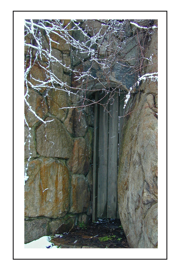
  2. It is the wall to that house on Western Ave that you can see when you are at Cresseys’ Beach at Stage Fort Park.

    By: Vickie on September 27, 2010
    at 9:10 am

    • Hey Vickie,
      Could you be more specific with your description? You might be right, but I need more info. Thanks!

      By: Sharon on September 28, 2010
      at 8:23 am

      • It is a close up of the wall of the house, when you stand at Cressey’s Beach and look to your right. John thought the wall was a dam. It is the first house on Western Avenue on the water side. Does that help!

        By: Vickie on September 28, 2010
        at 10:41 am

  3. It’s a closeup of the water side of a house north of the Moonie Castle taken from Cressy Beach in Stage Fort Park

    By: easydiverchris on September 27, 2010
    at 9:52 am

  4. The house on eatern point road that was always lite up beautiful for x-mass season. I think it was owned by the O’Connors. The O’Connor Estate!

    By: ellen macdonald on September 27, 2010
    at 11:18 am

    Reply

  5. I think the name was O’Connell not O’Connor Estate.

    By: ellen macdonald on September 27, 2010
    at 11:21 am

  6. Hammond Castle?

    By: Stacy on September 27, 2010
    at 11:23 am

    Reply

  7. hammond castle

    By: steve leblanc on September 27, 2010
    at 12:46 pm

  8. Hammonds

    By: ghurst on September 27, 2010
    at 3:21 pm