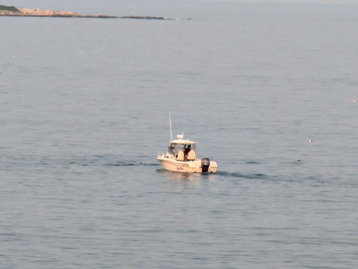
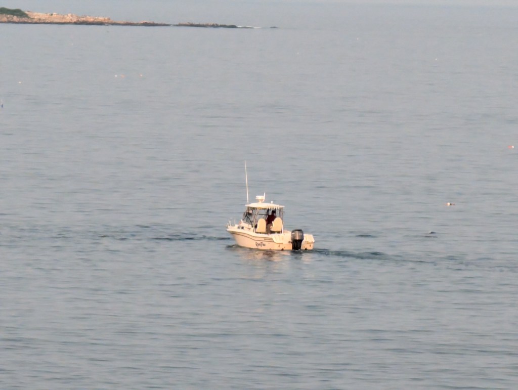
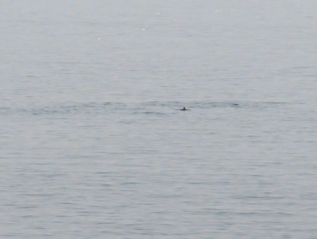
Images: Exciting sightings! Shoreside views looking in the direction of Milk Island and Twin Lights from Long Beach neighborhood. Feeding and fast maneuvers between Twin Lights and Good Harbor Beach with the extended feeding seen in the images closest in line to Milk.
Spread The GMG Love By Sharing With These Buttons:
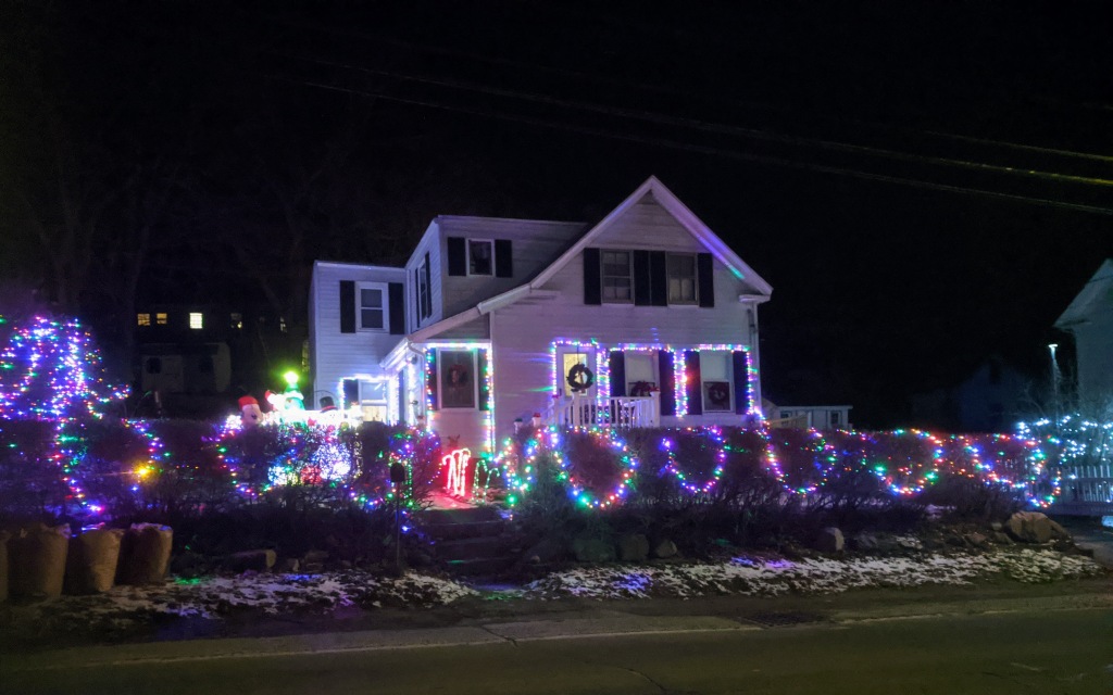
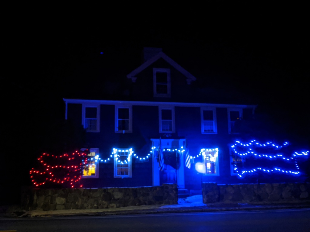
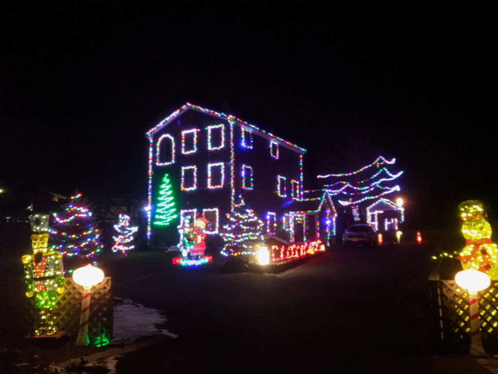
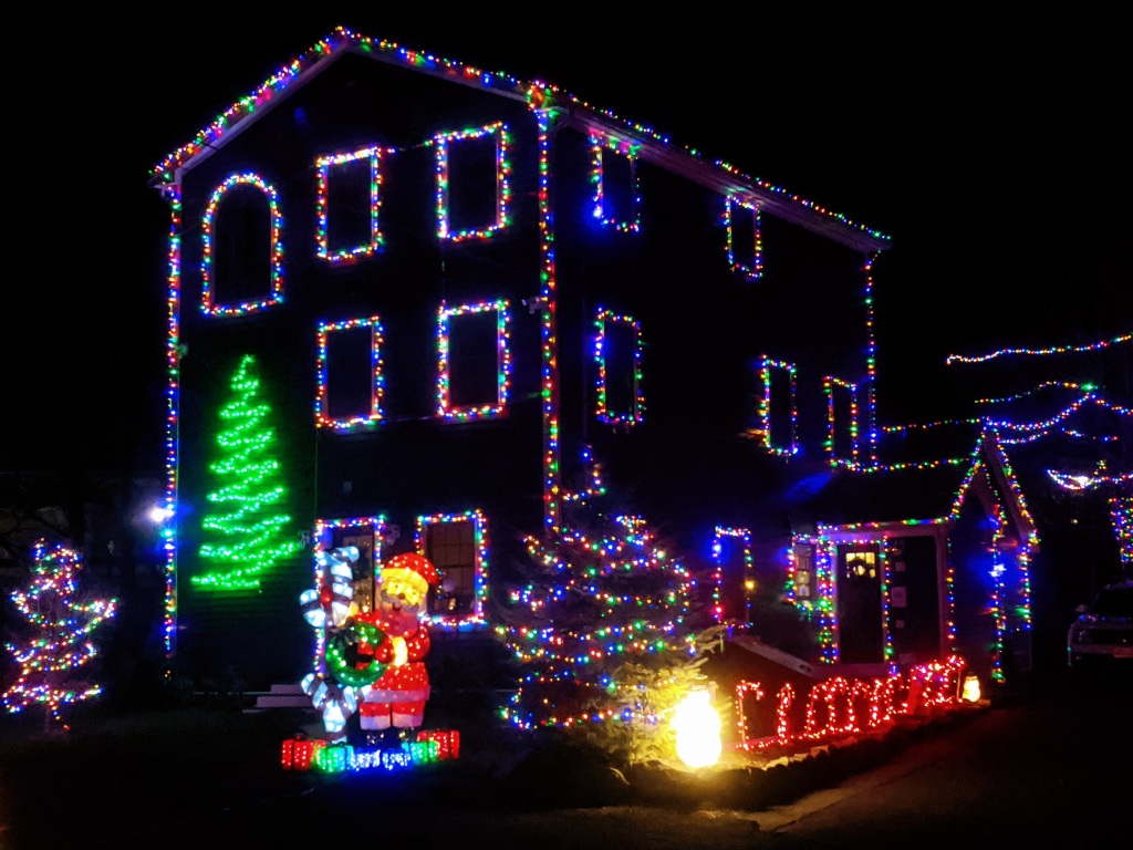
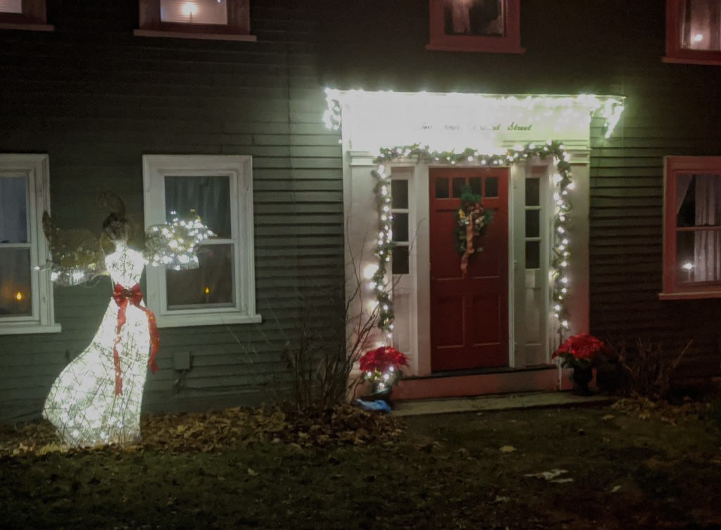
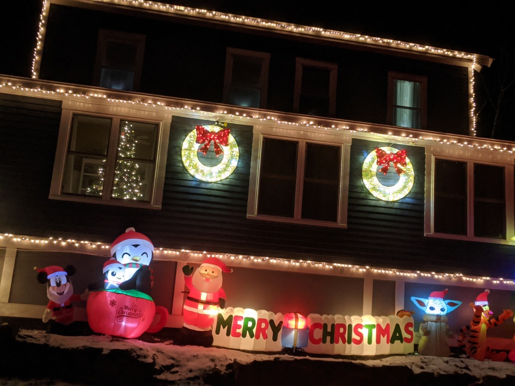
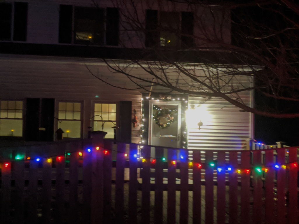
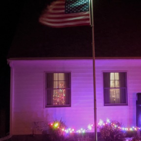
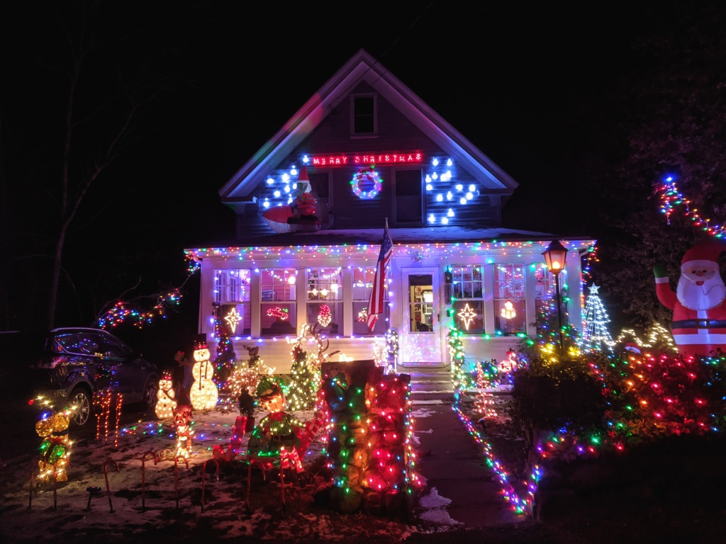
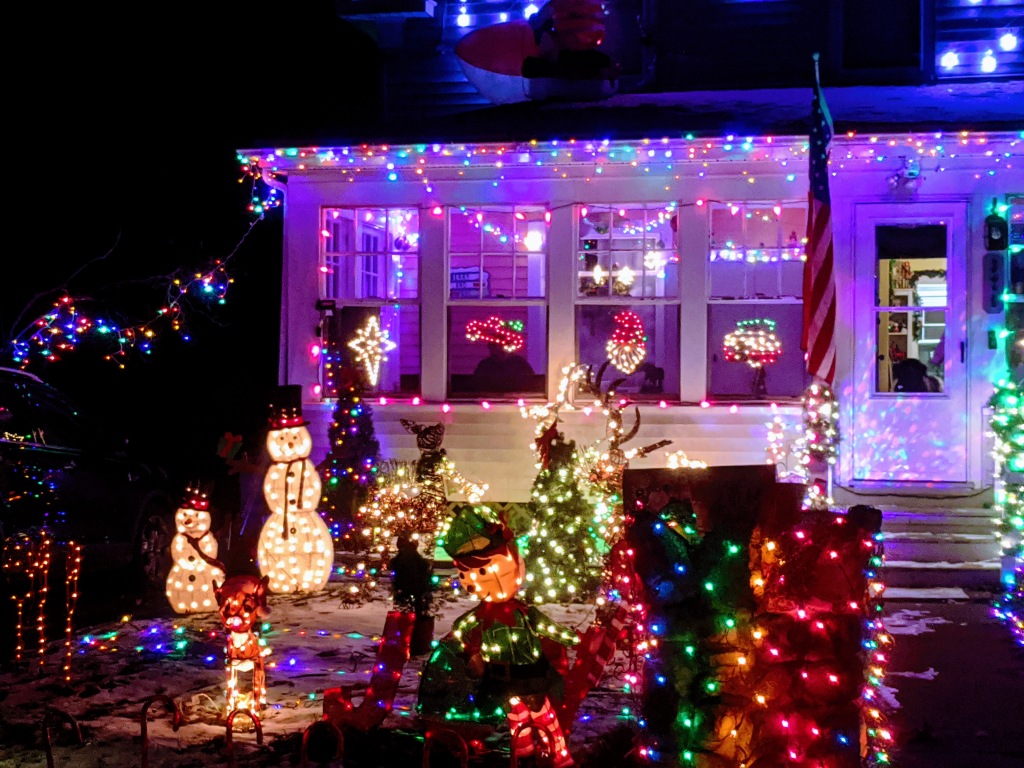
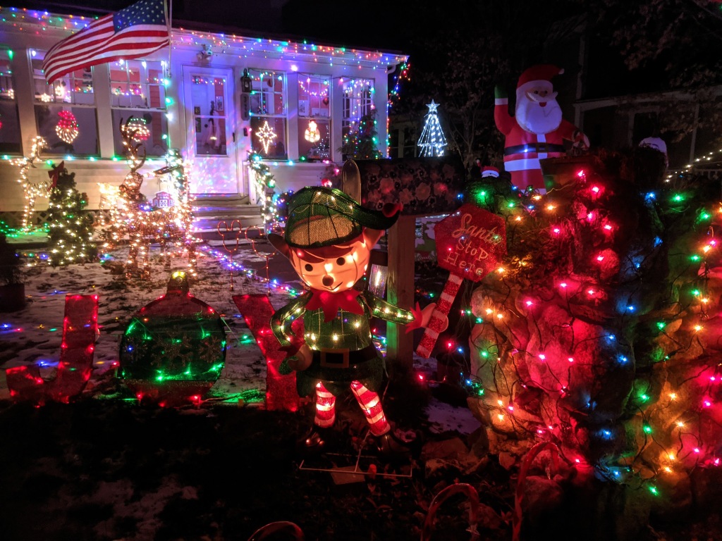
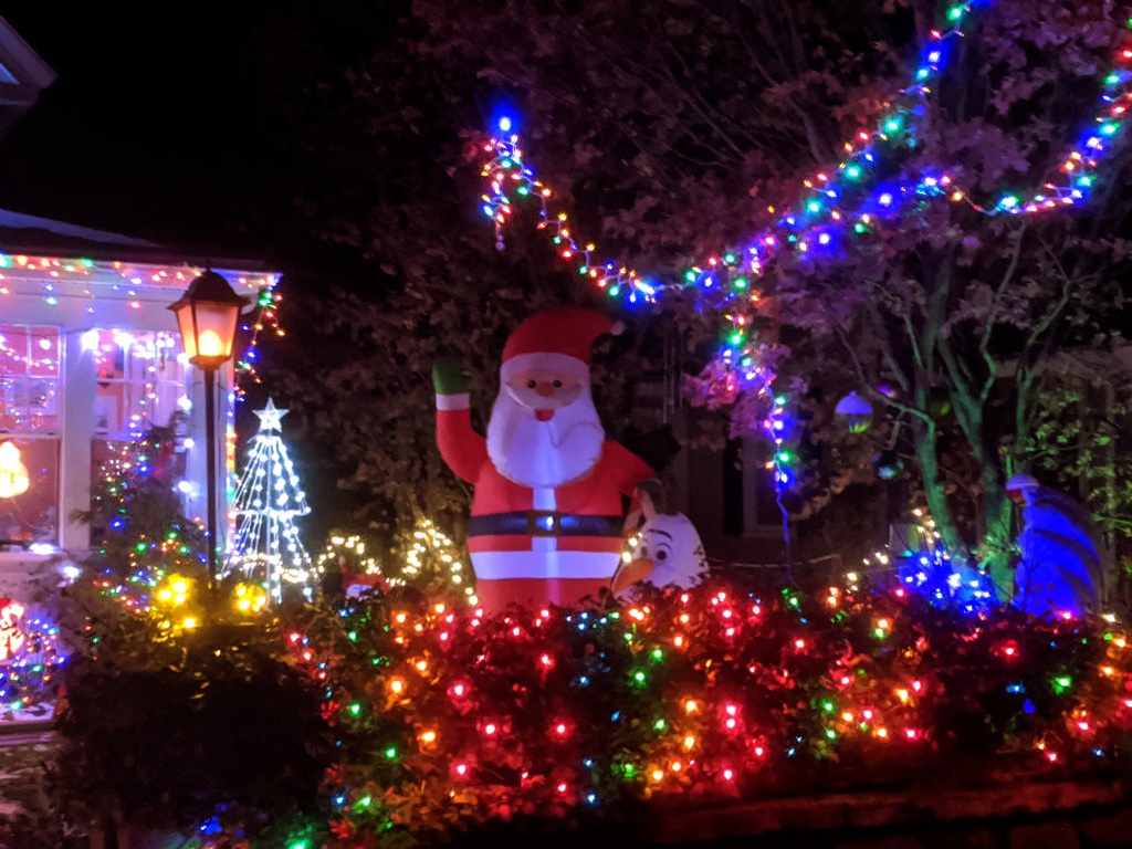
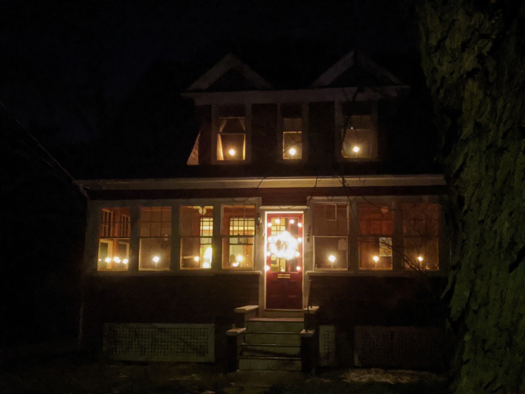
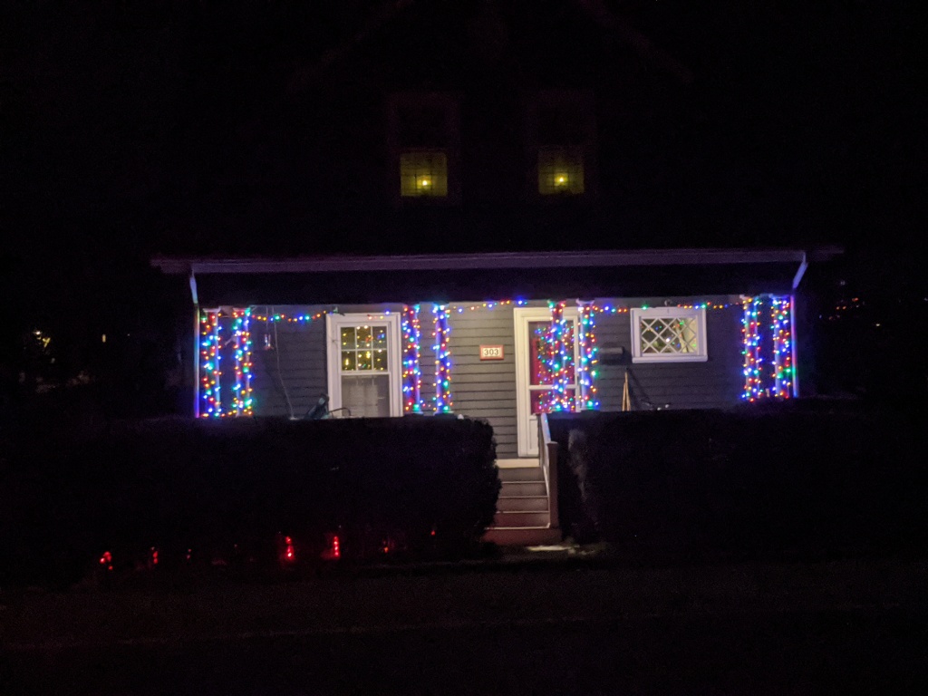
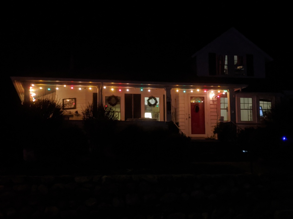
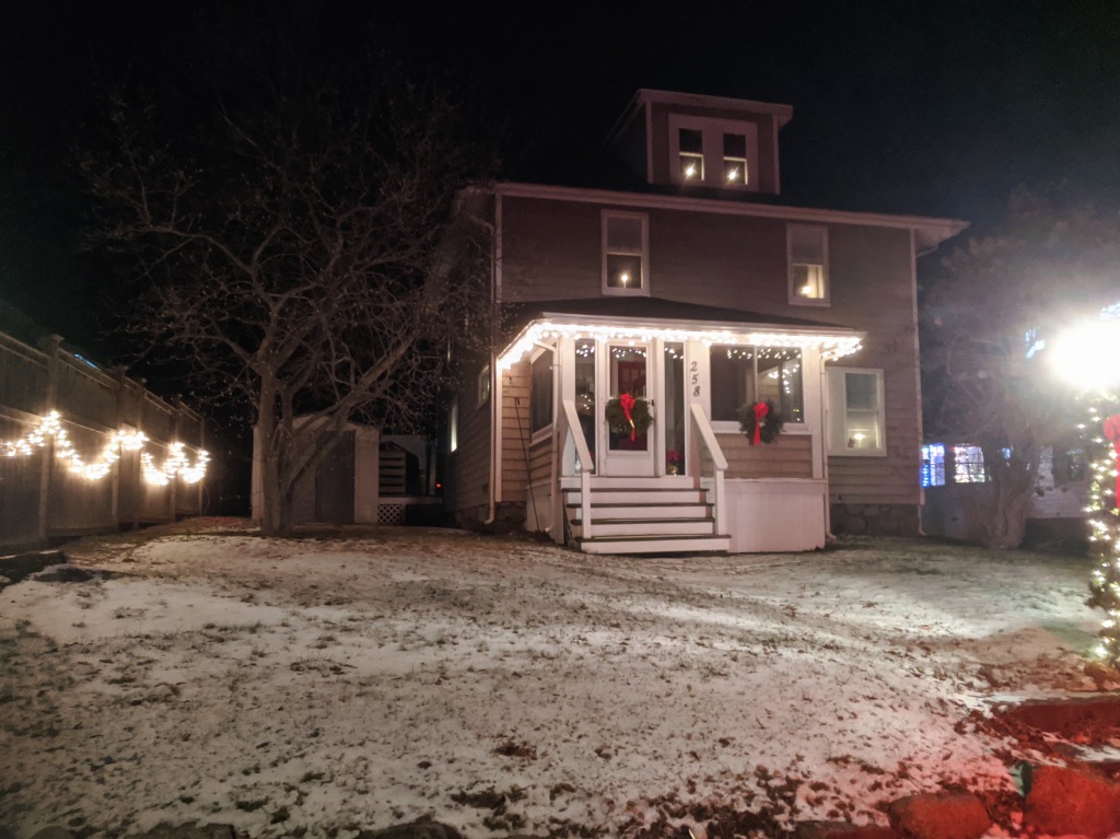
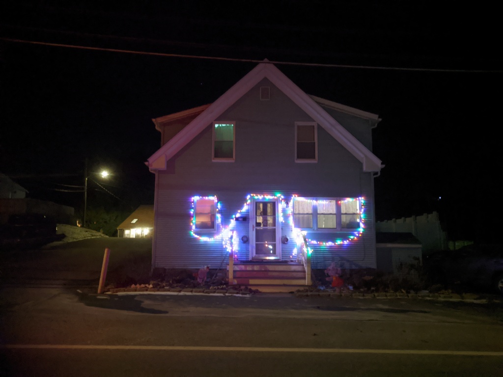
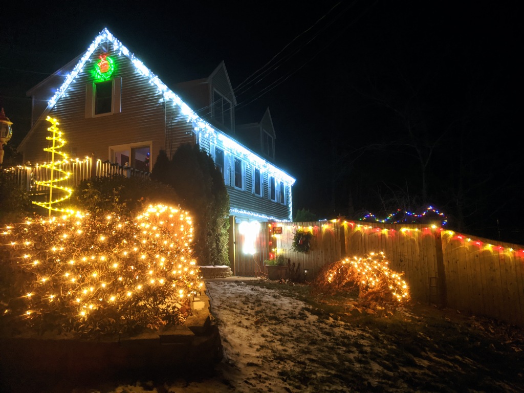
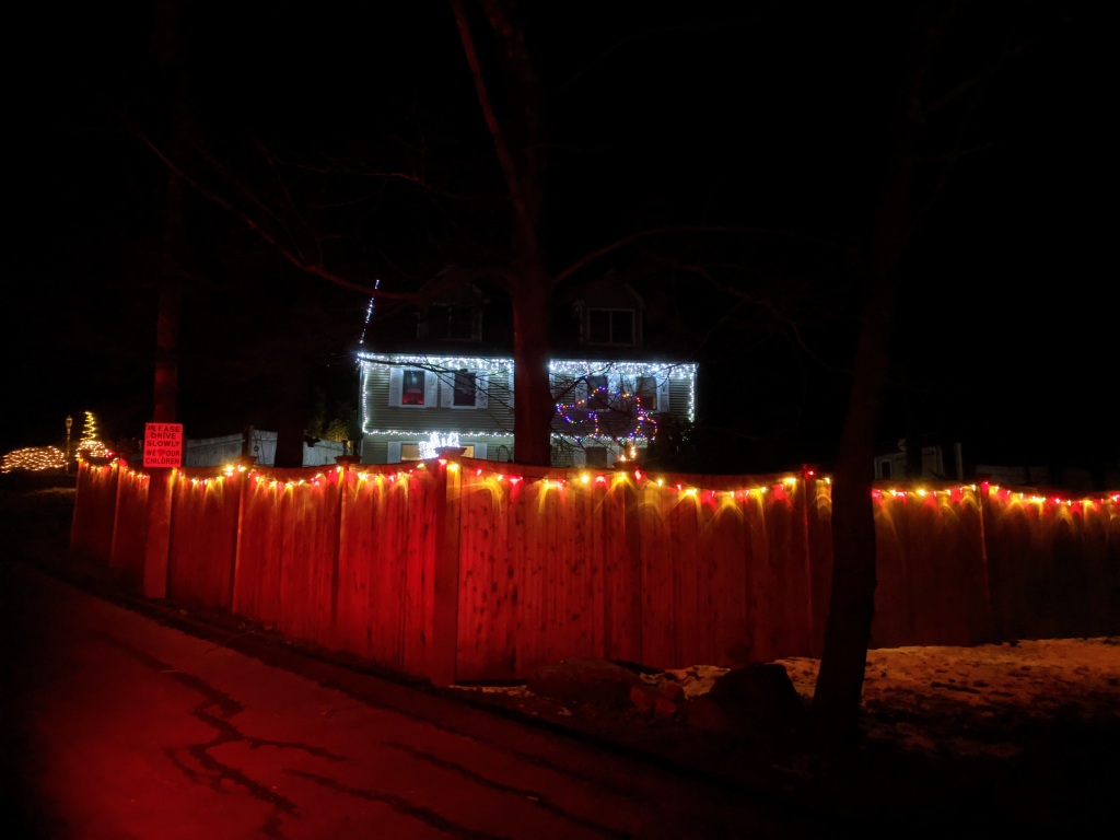
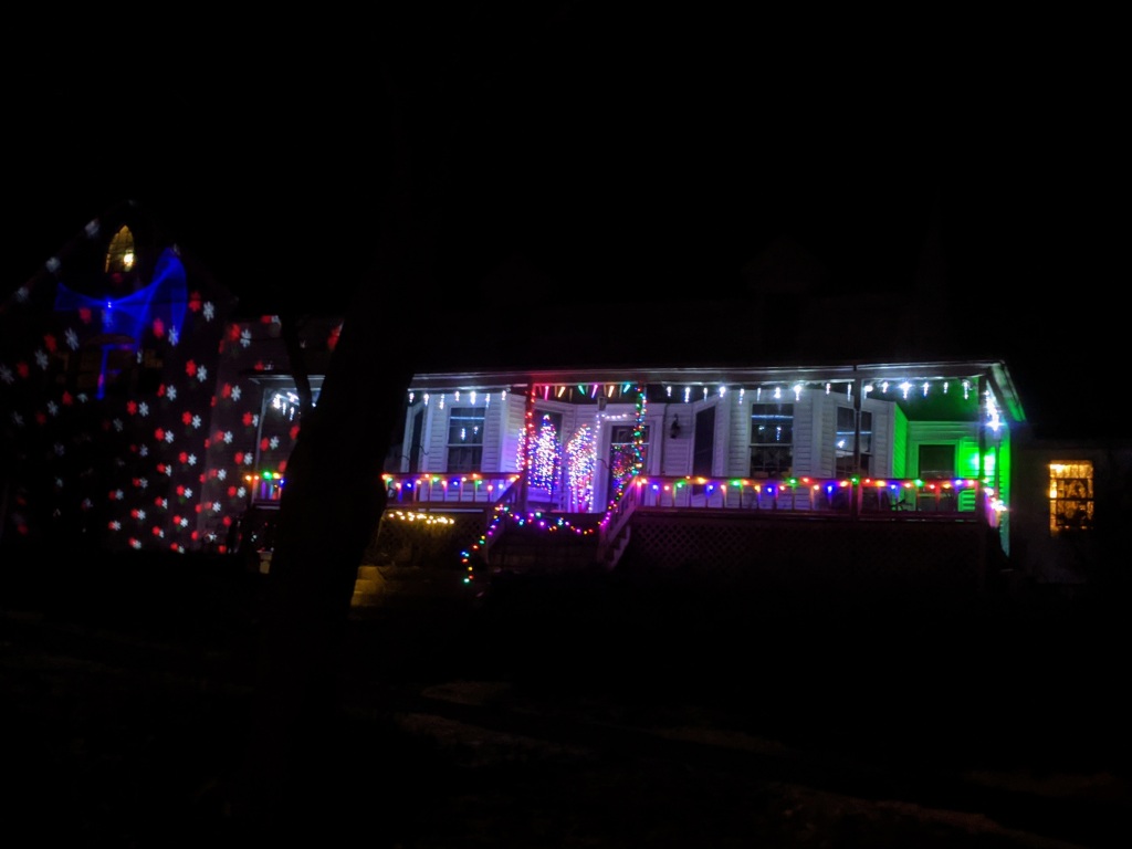
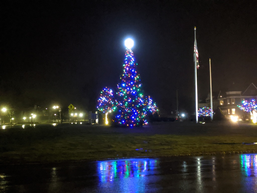
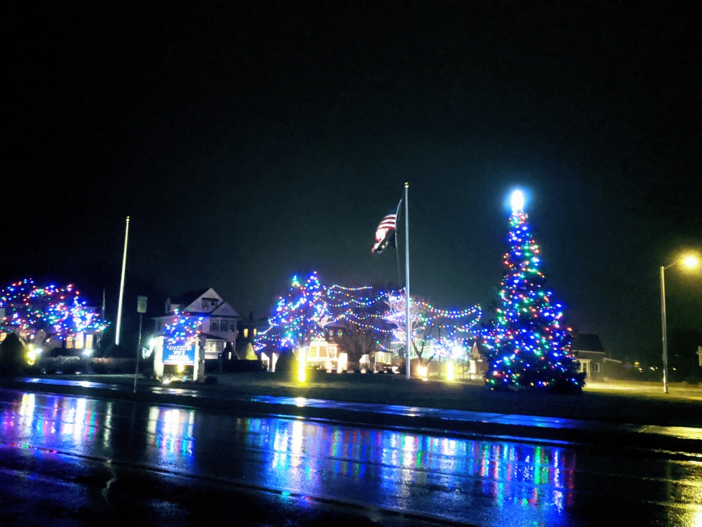
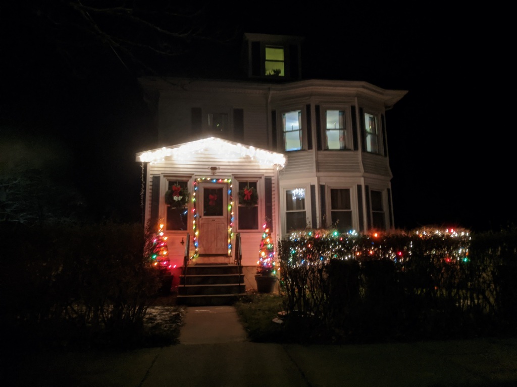
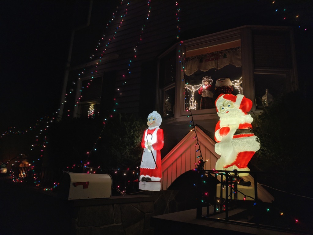
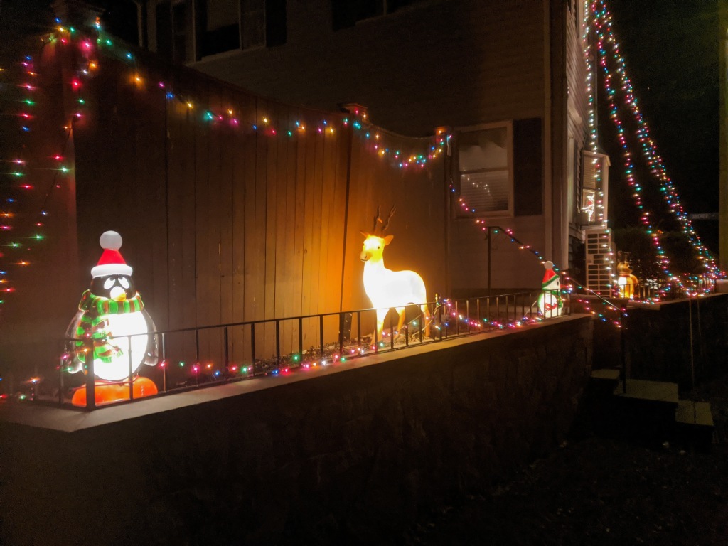
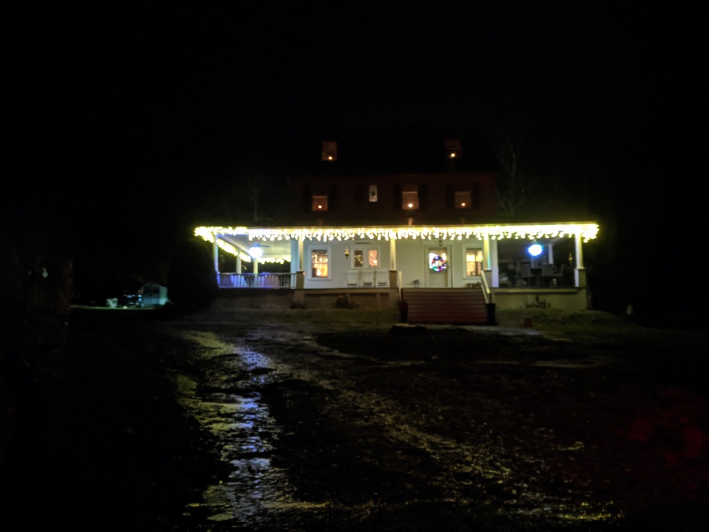
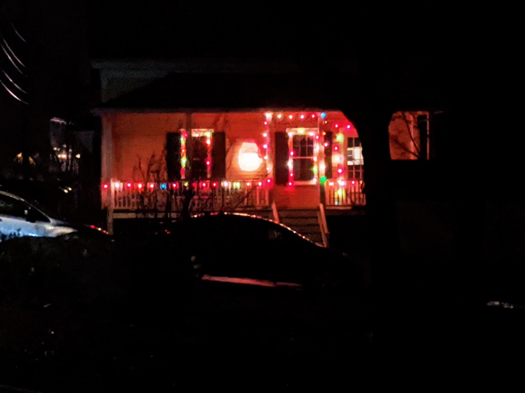
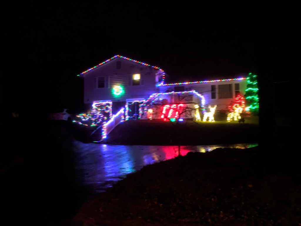
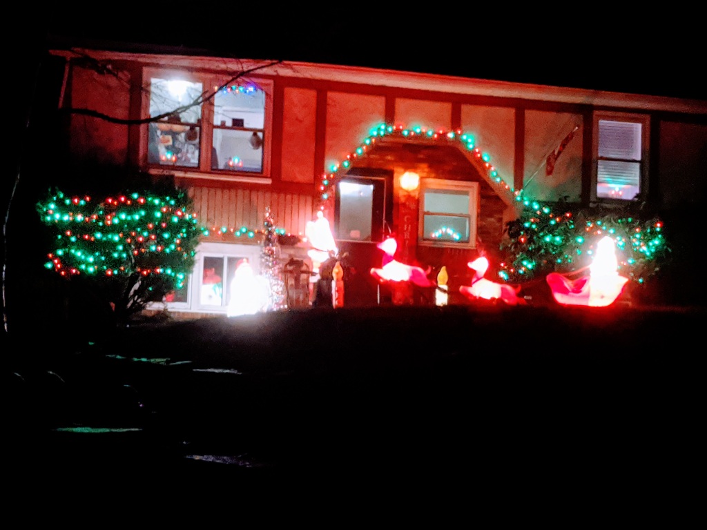
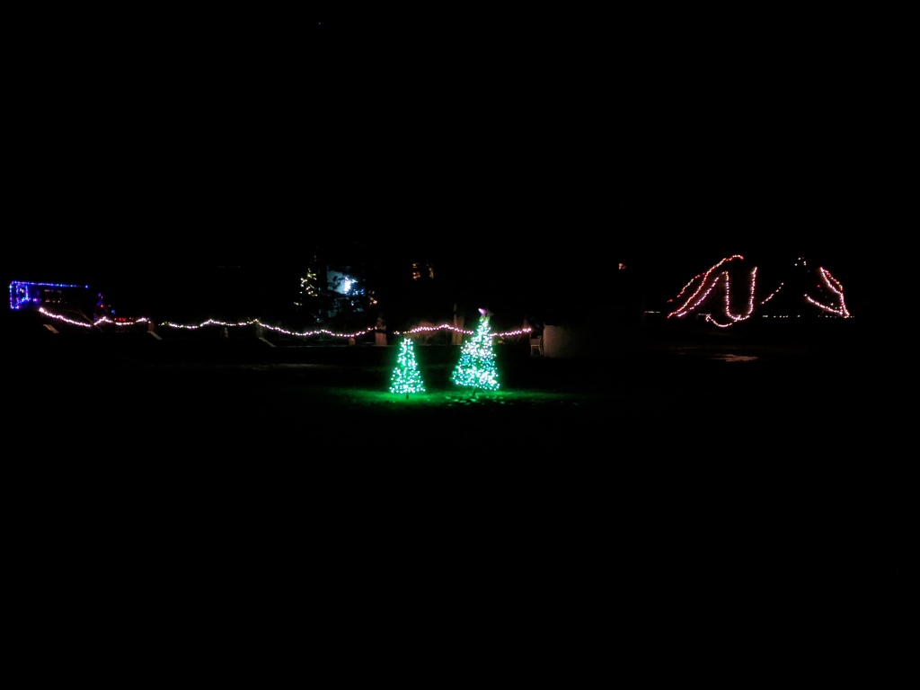
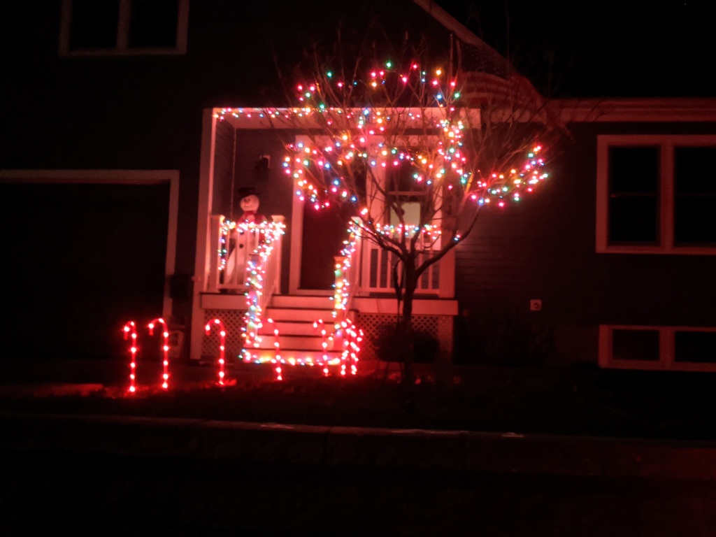
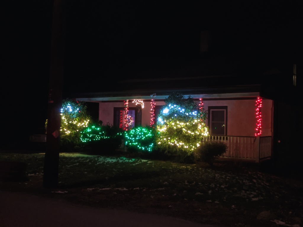
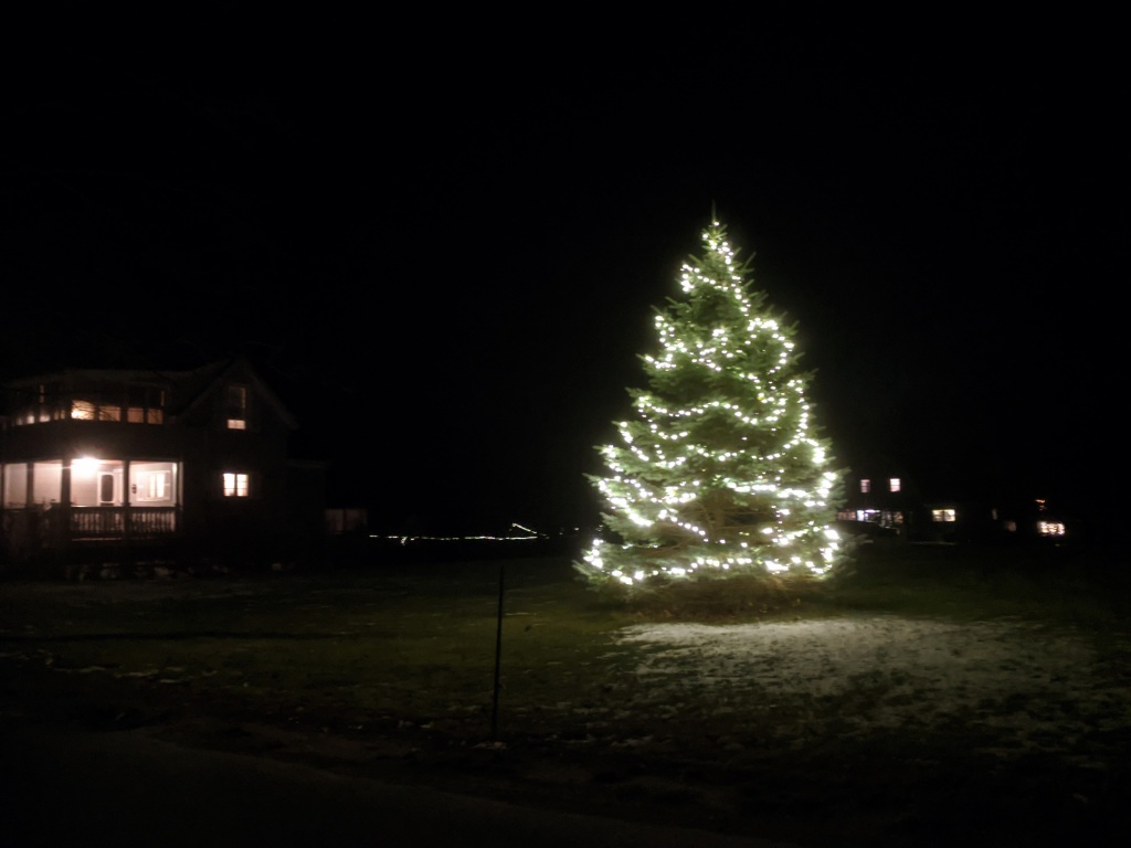
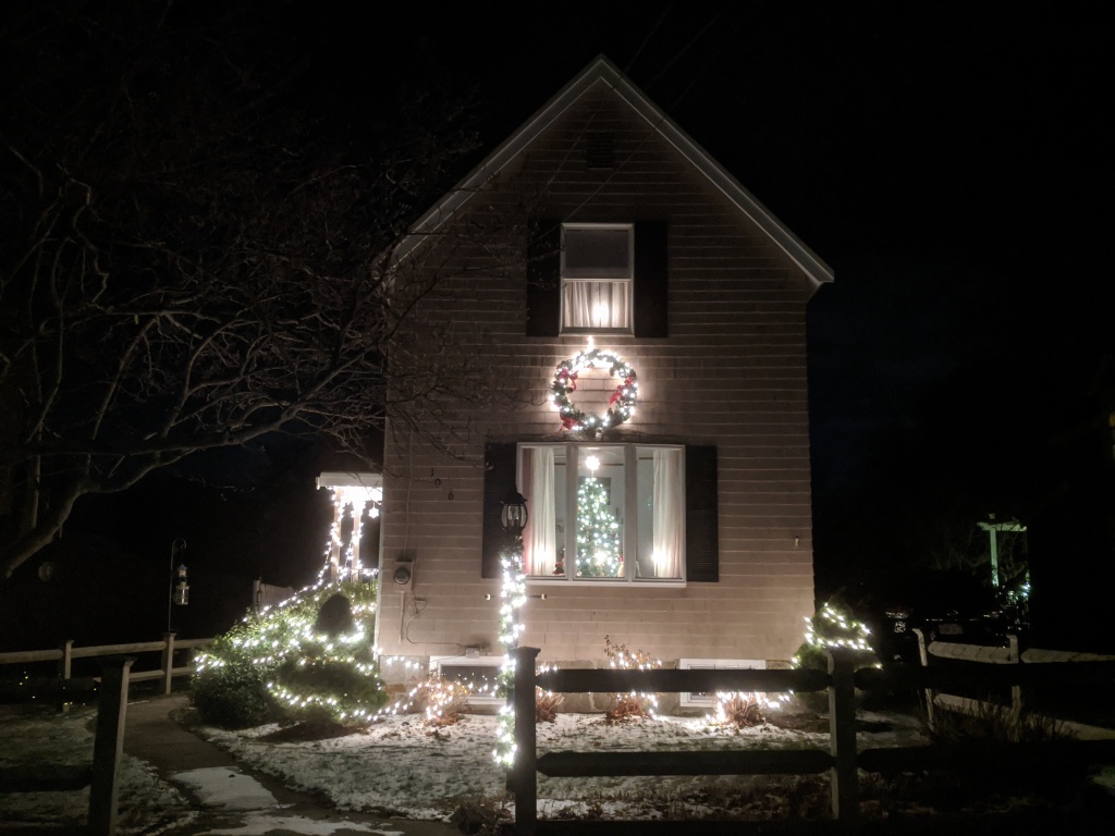
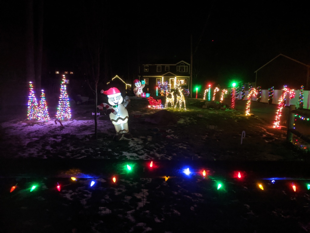
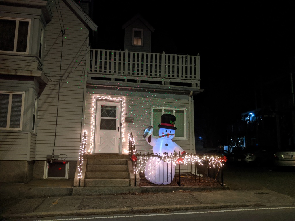
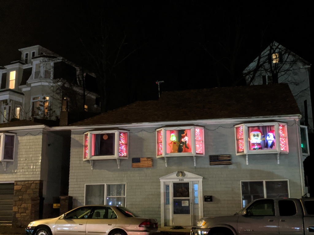
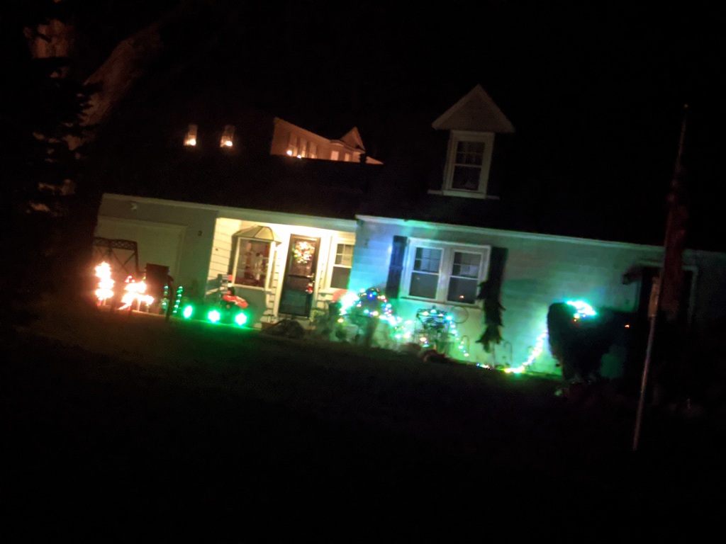
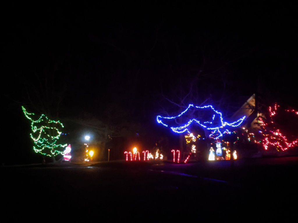
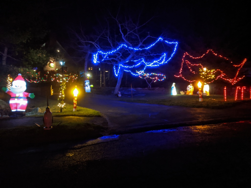
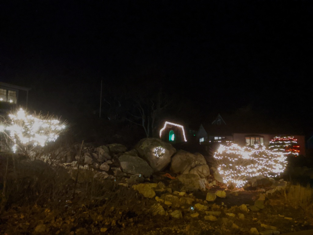
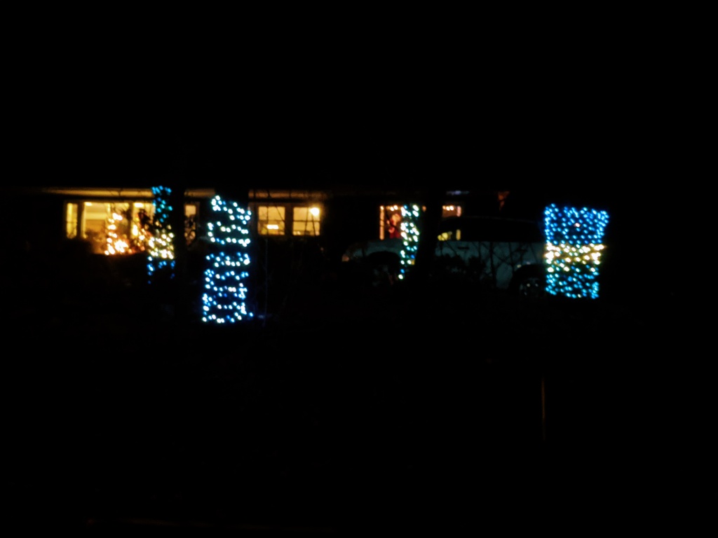
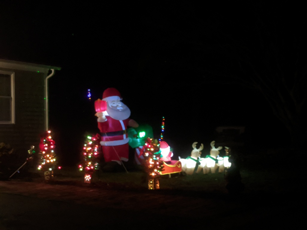
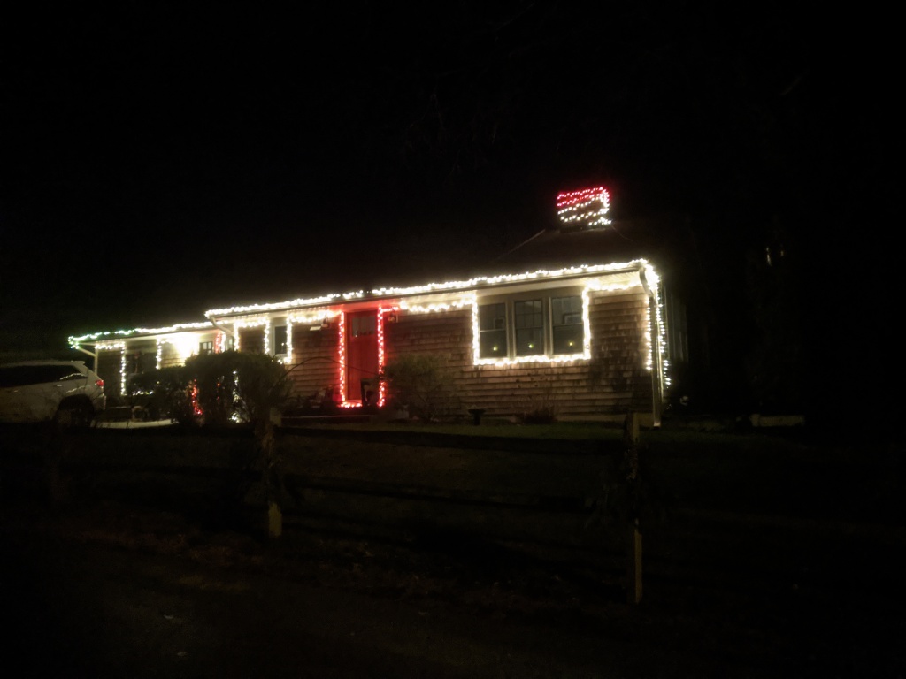
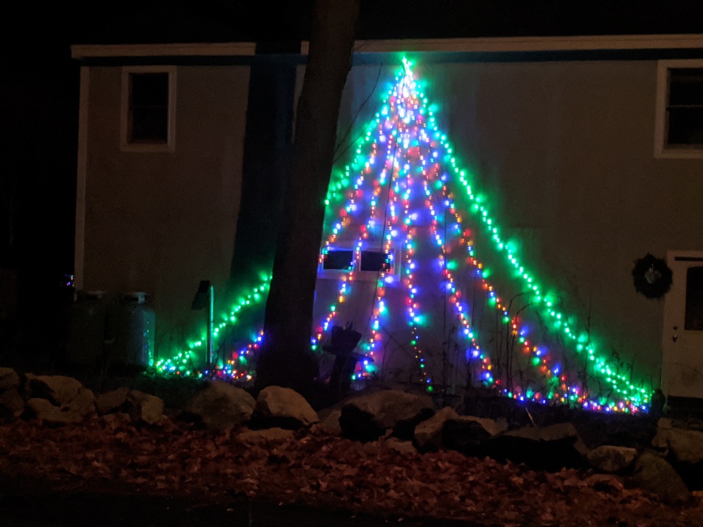
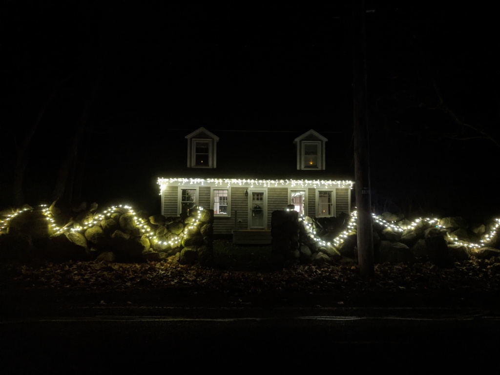
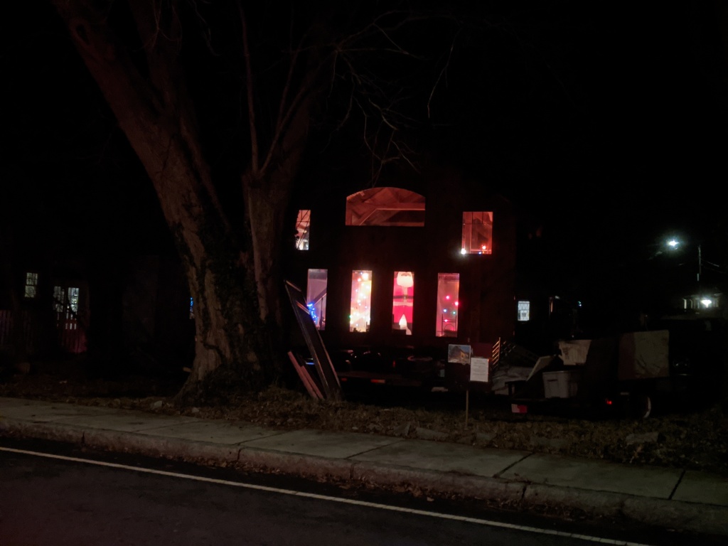
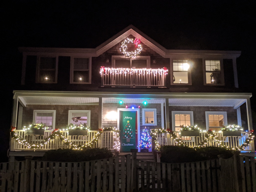
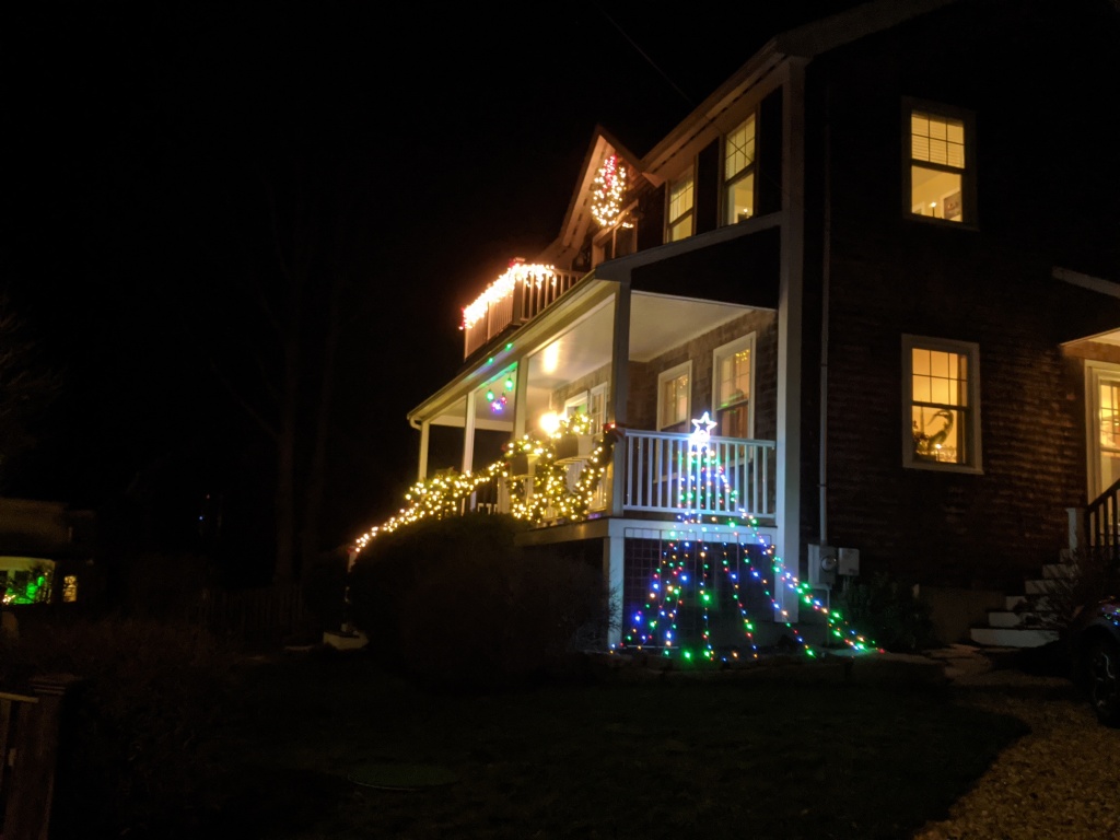
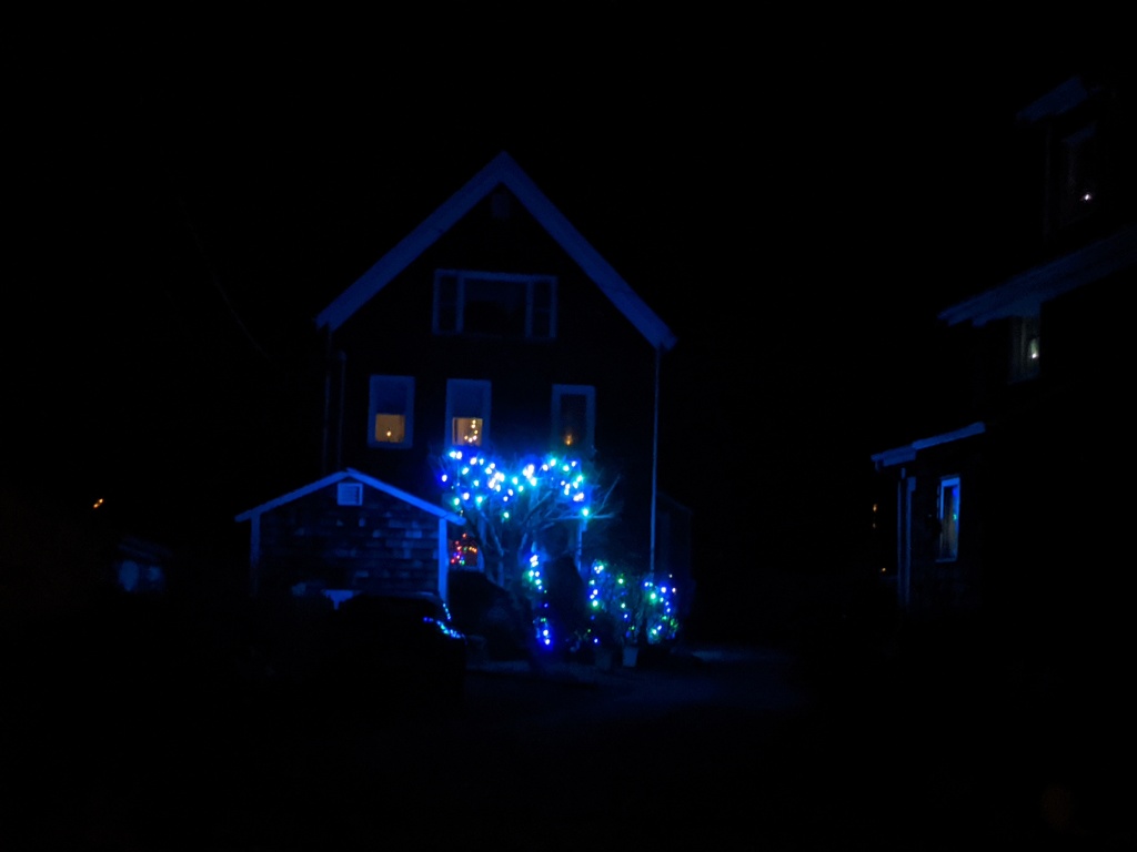
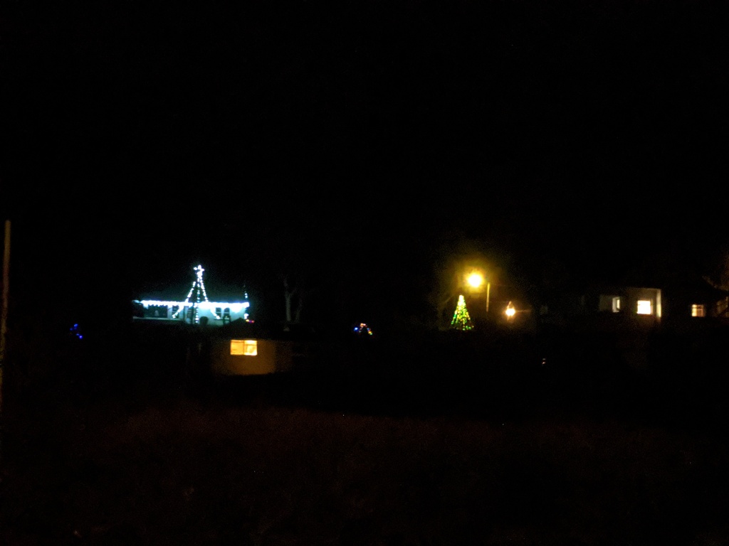
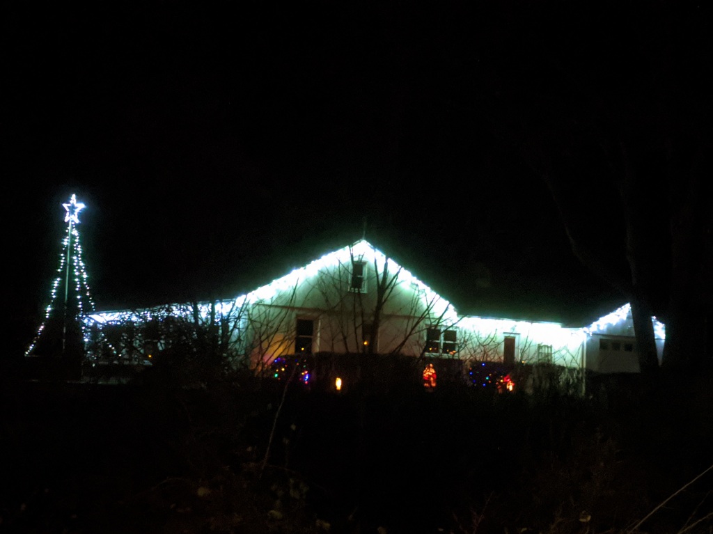
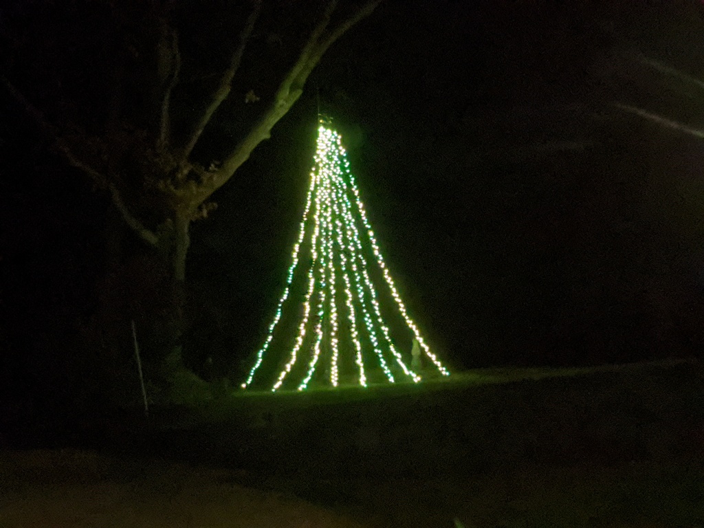
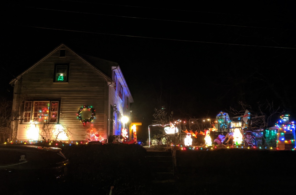
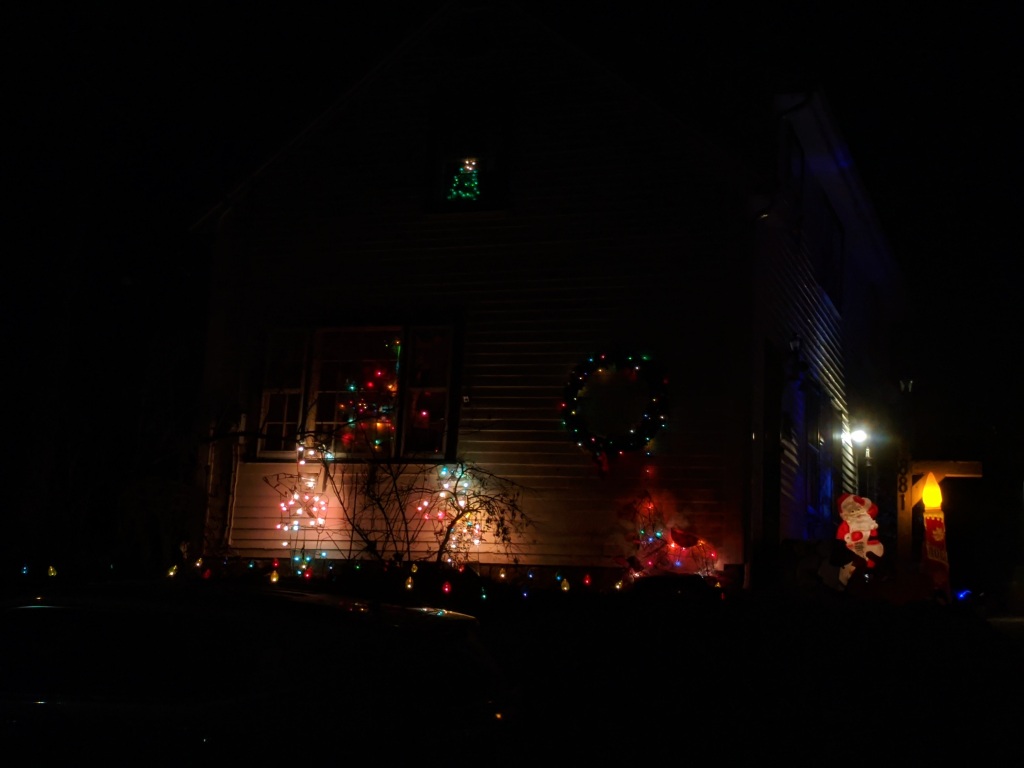
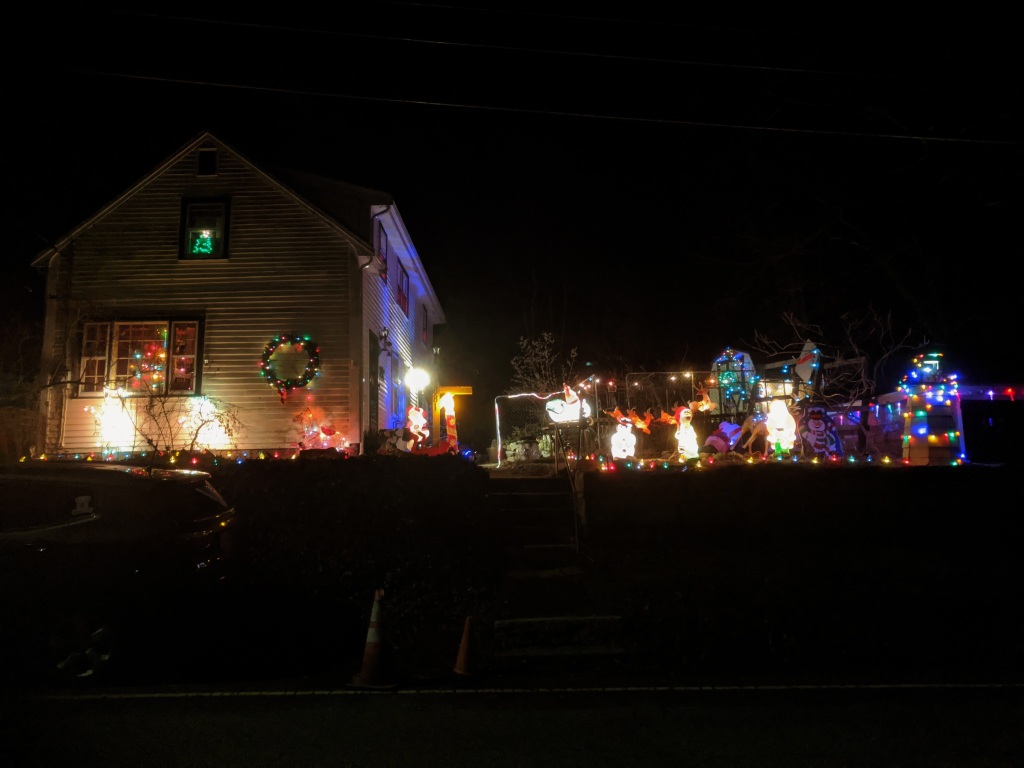
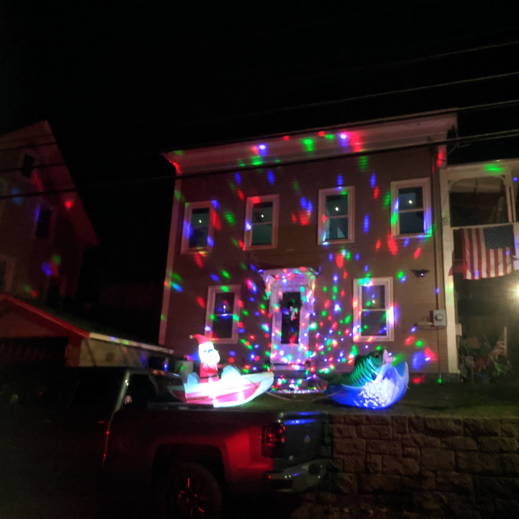
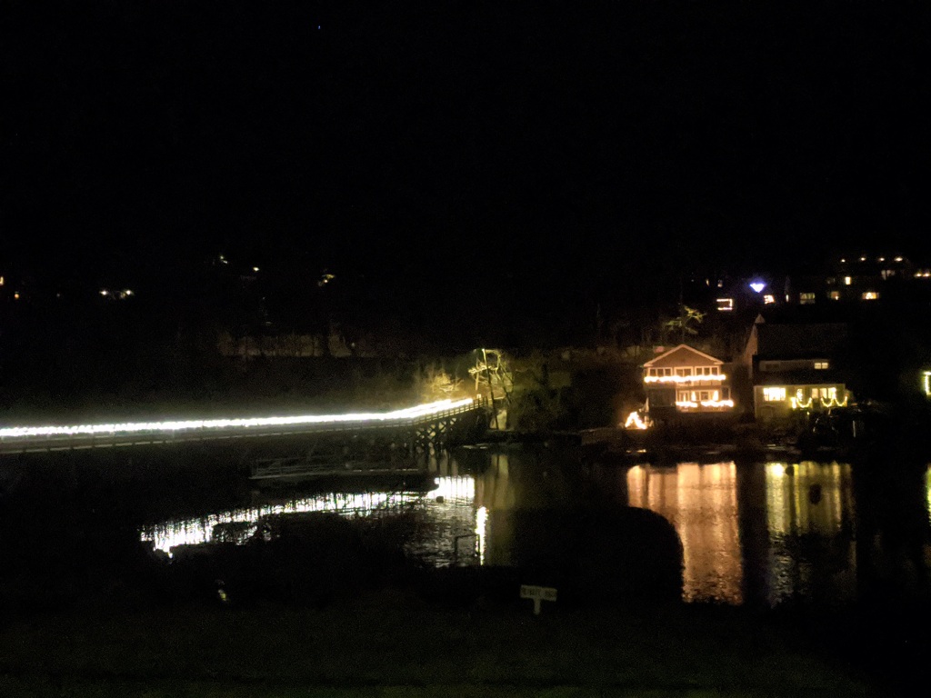
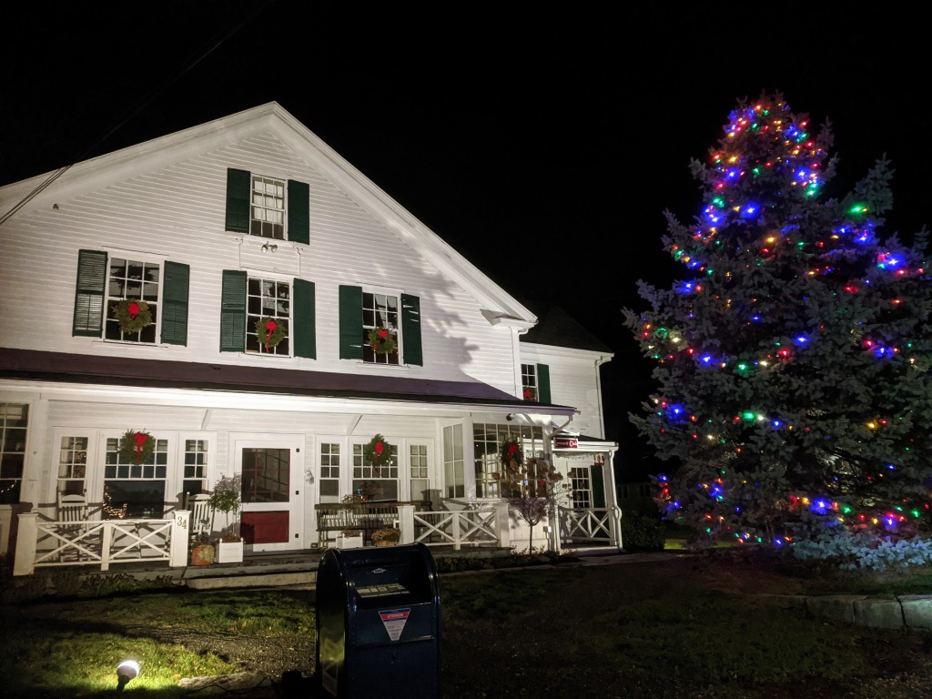
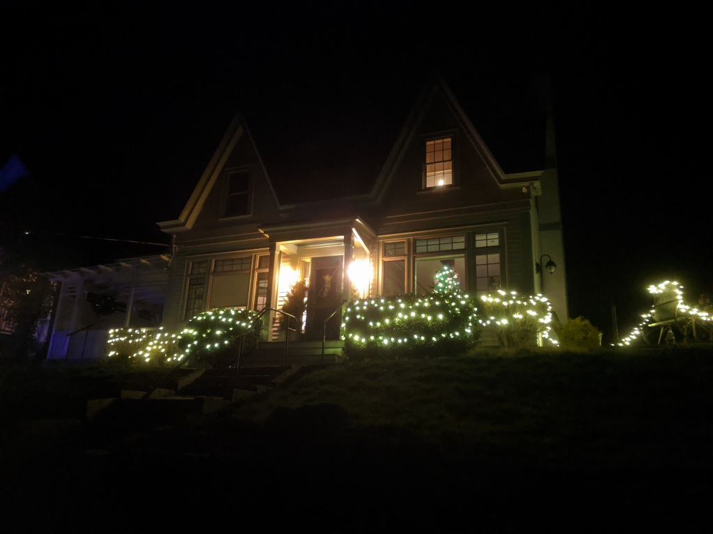
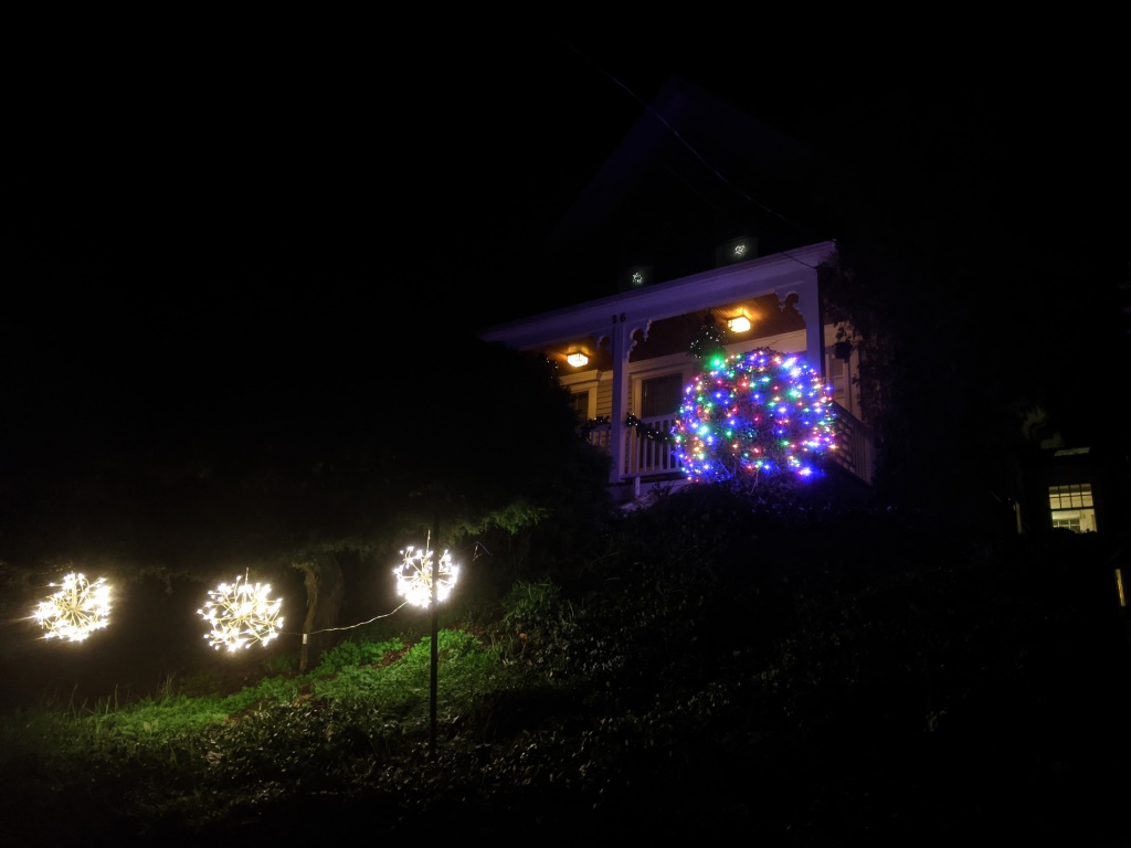
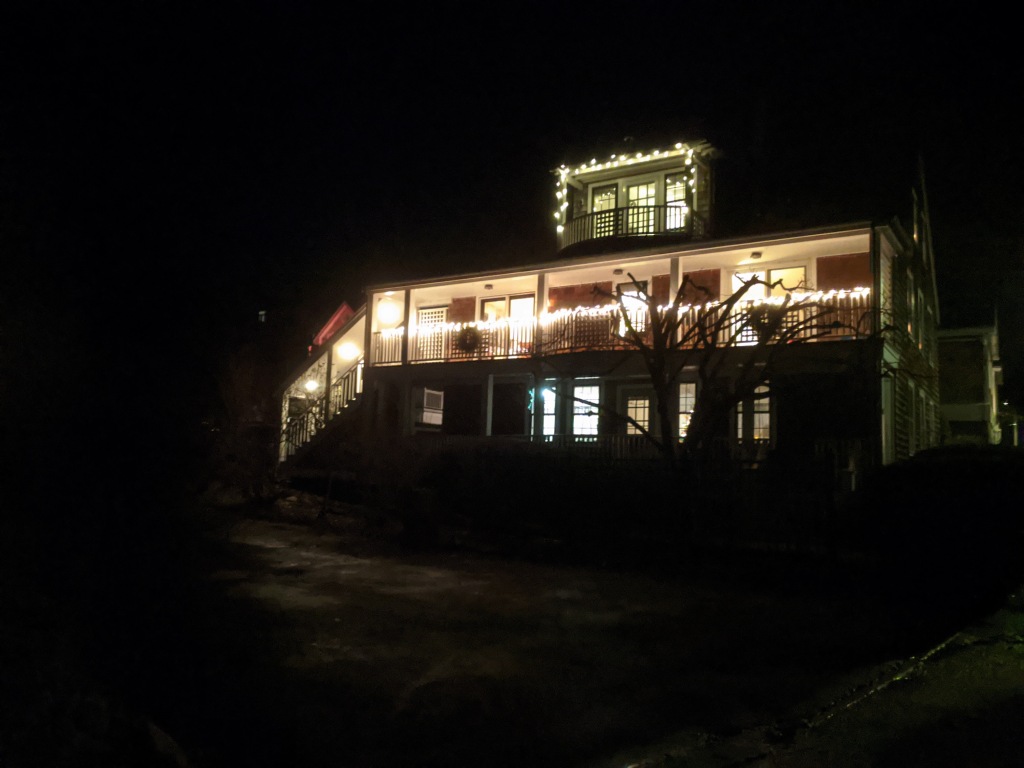
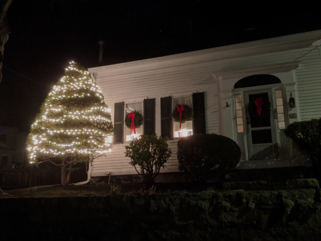
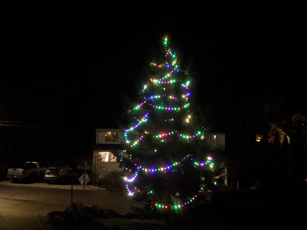
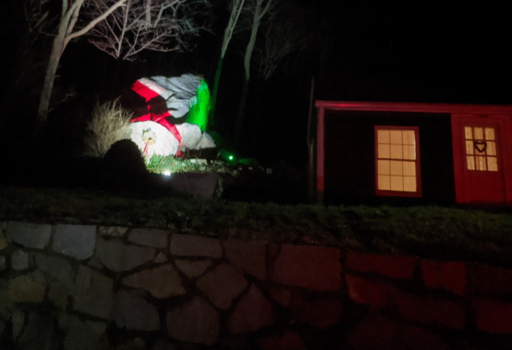
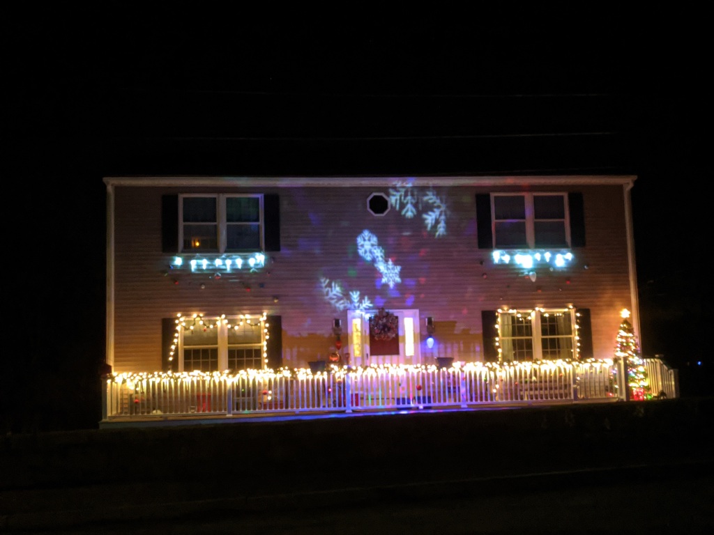
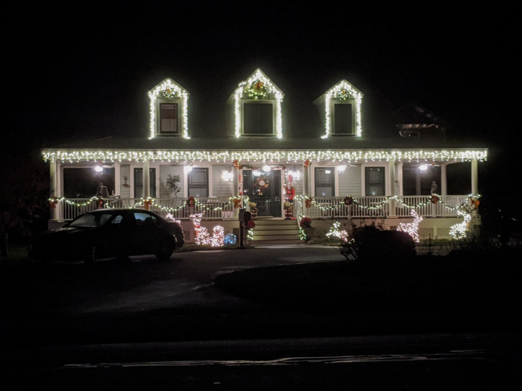
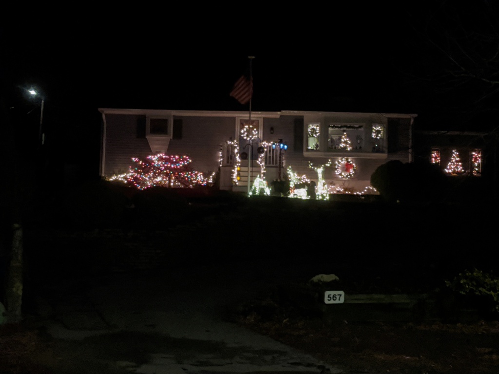
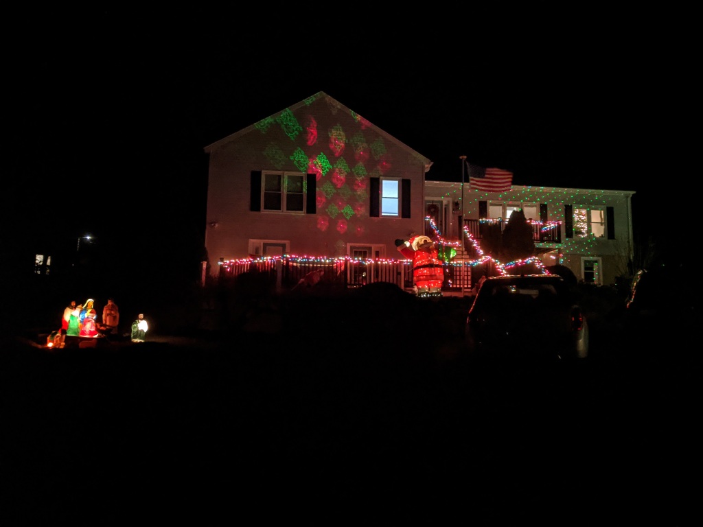
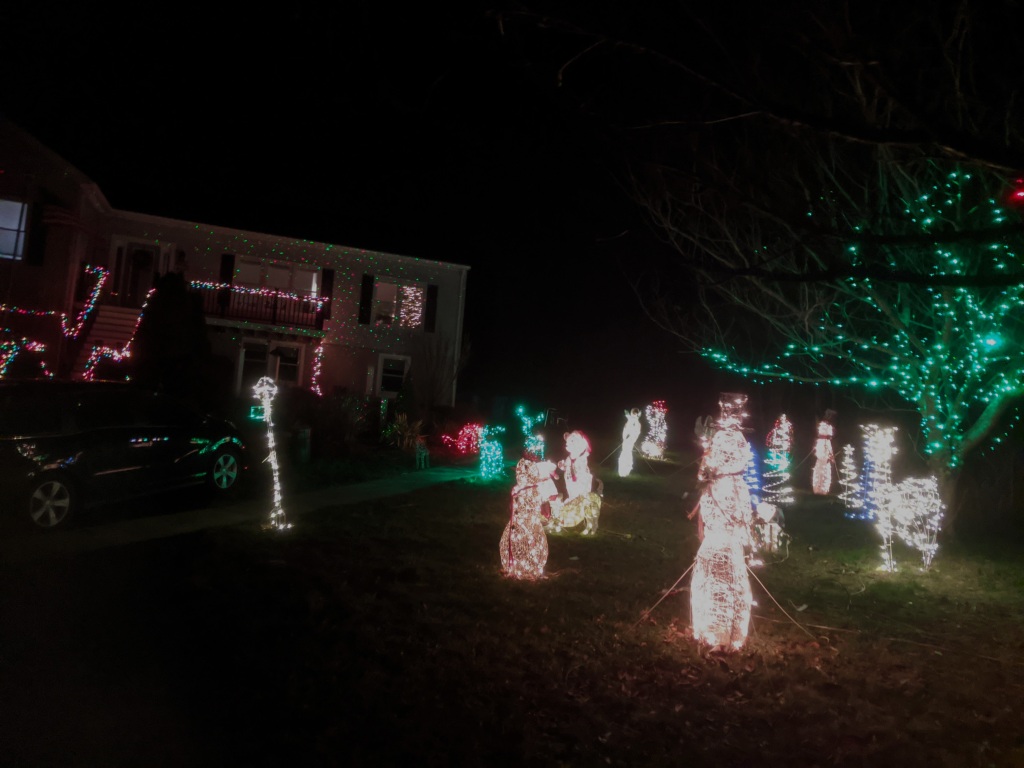
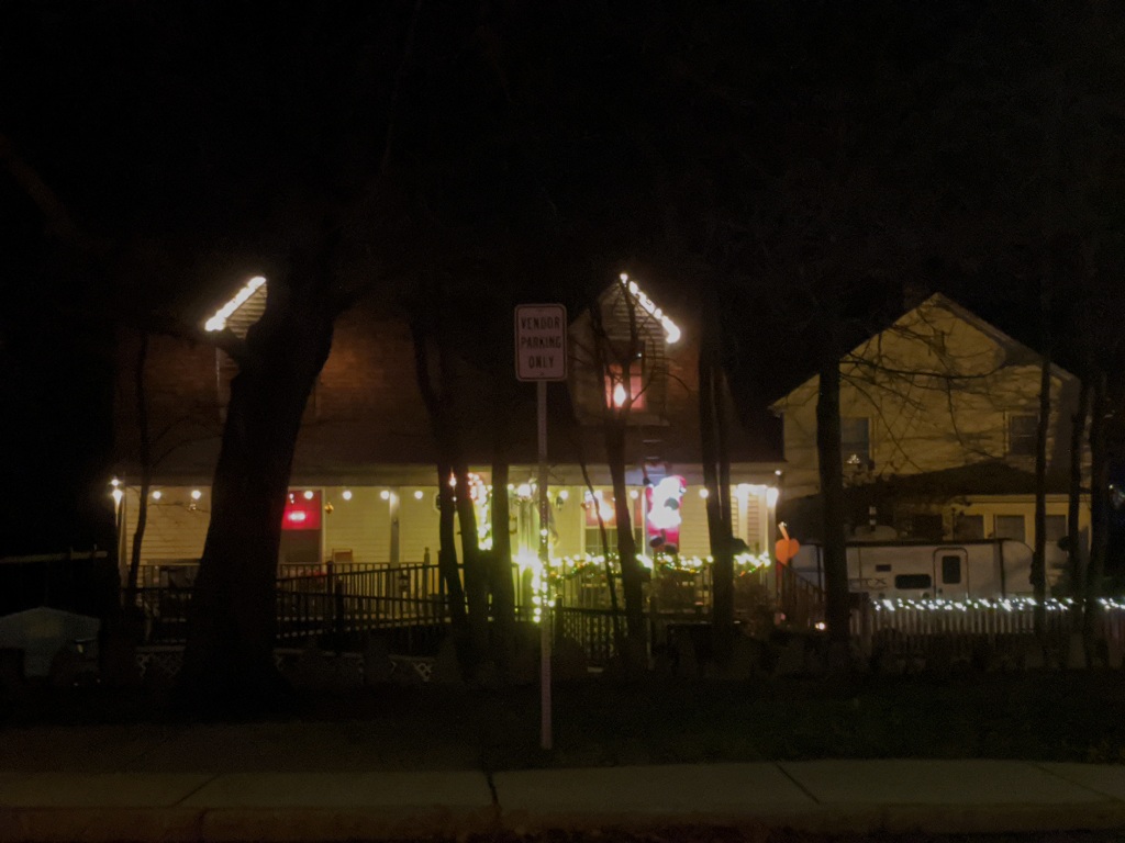
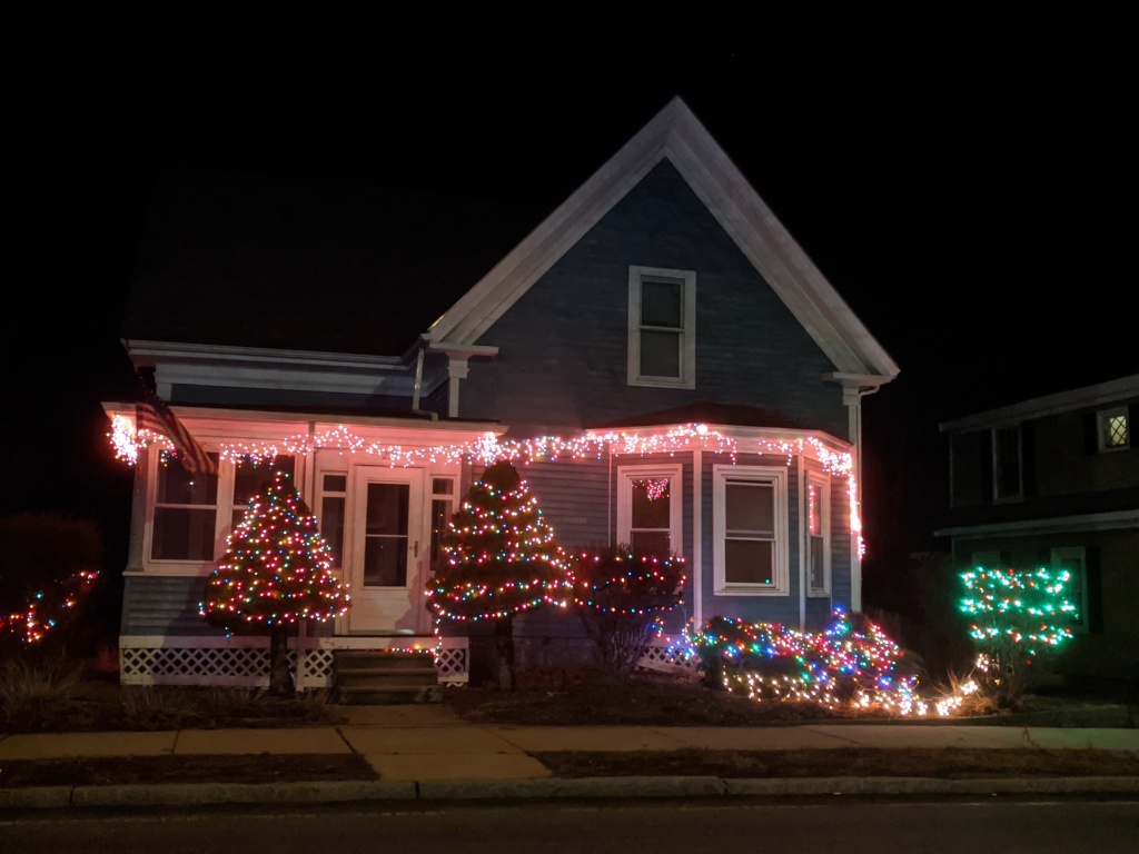
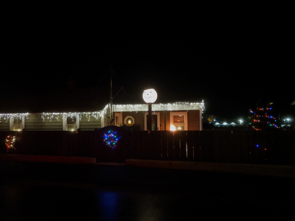
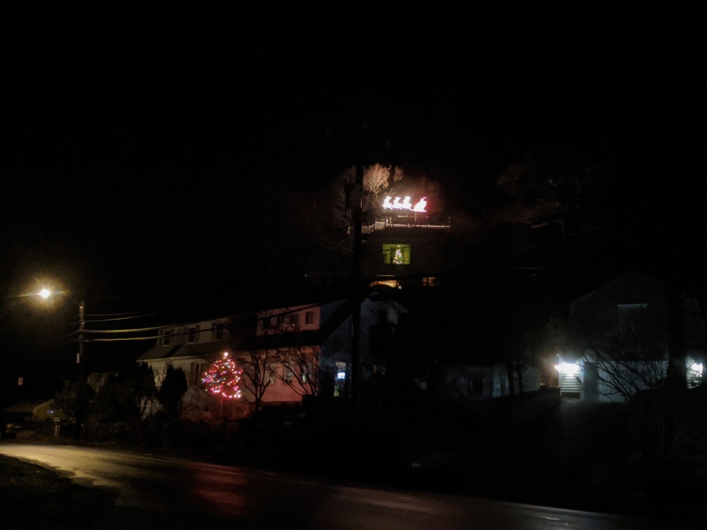
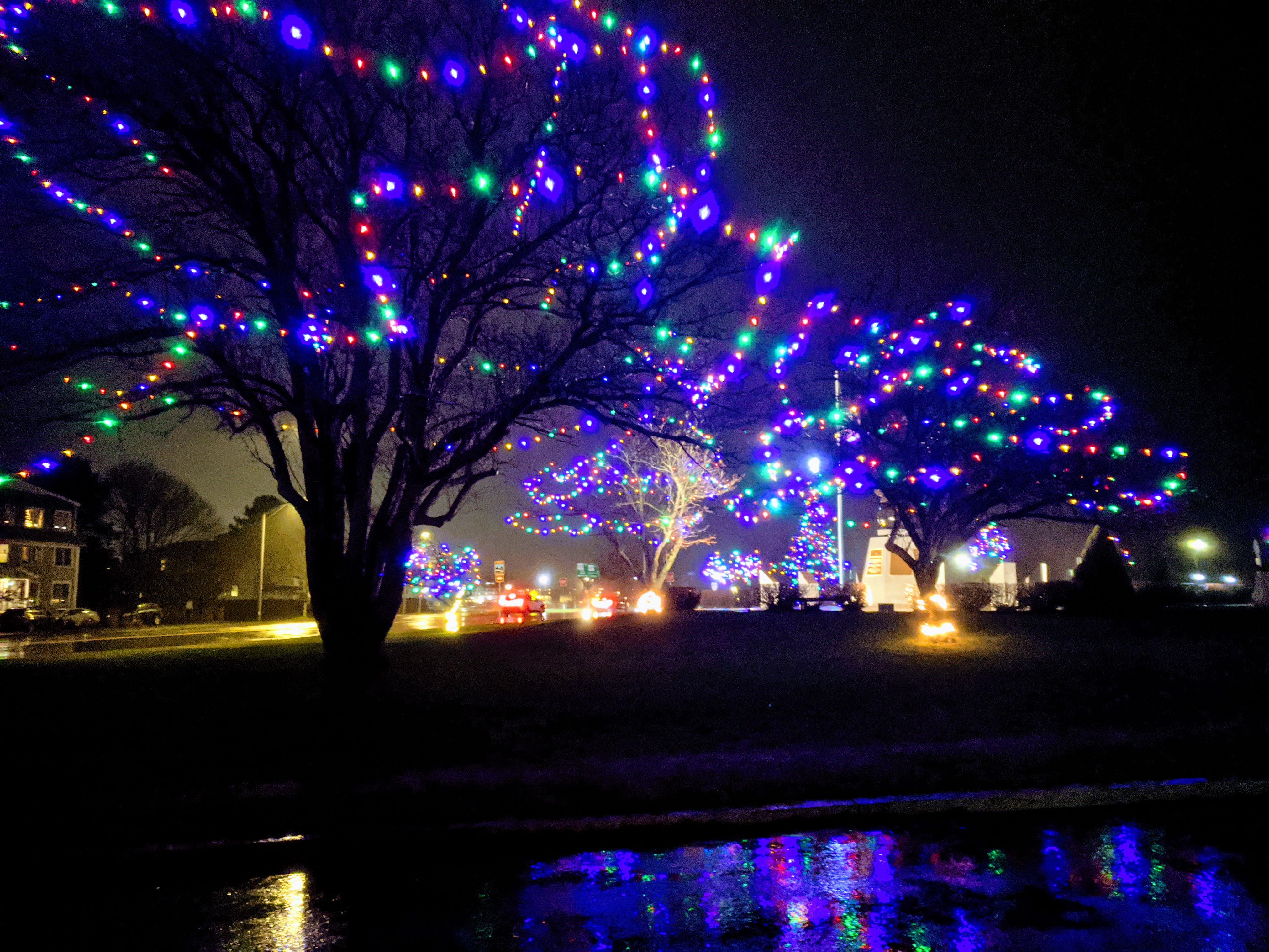
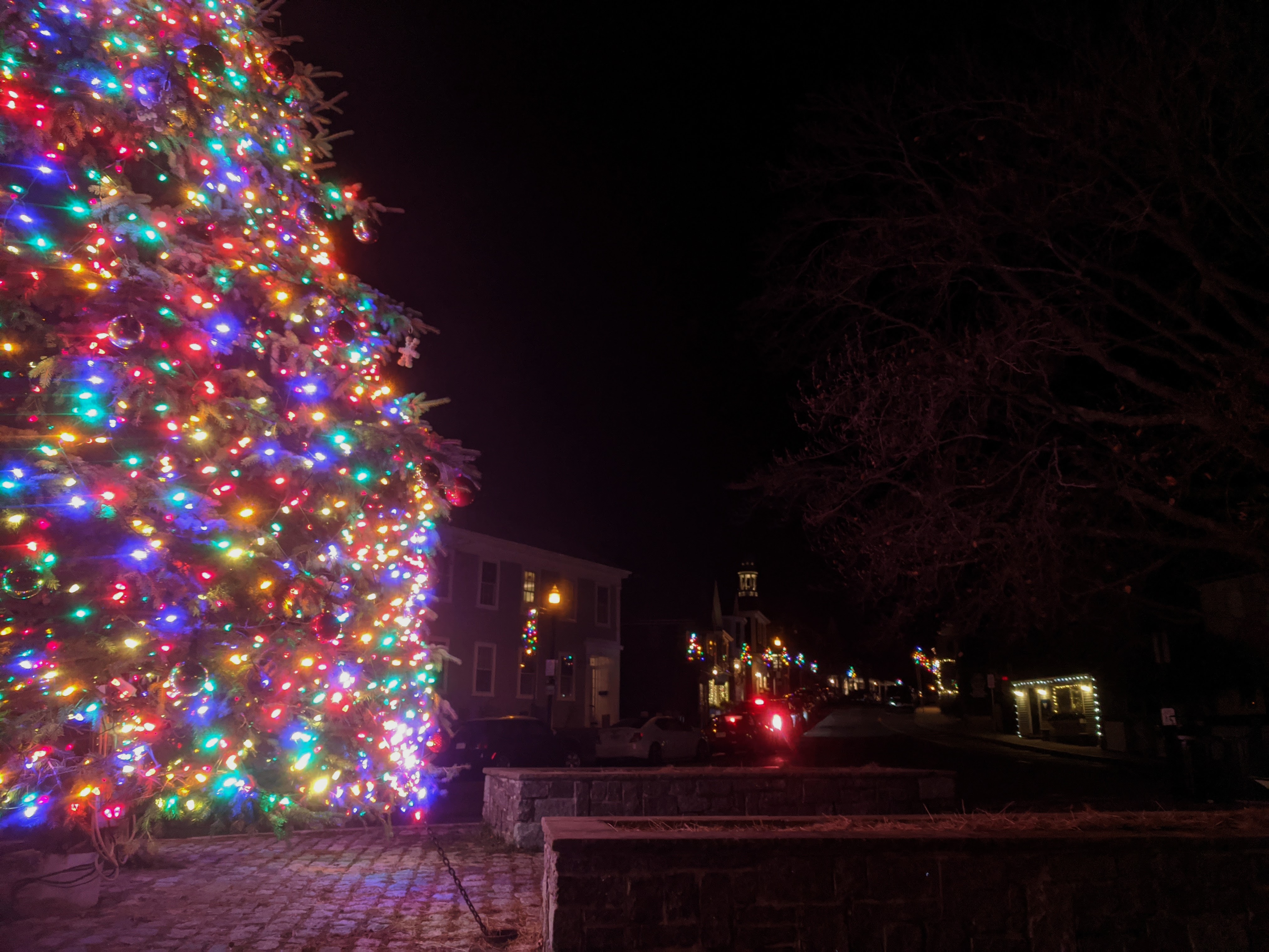
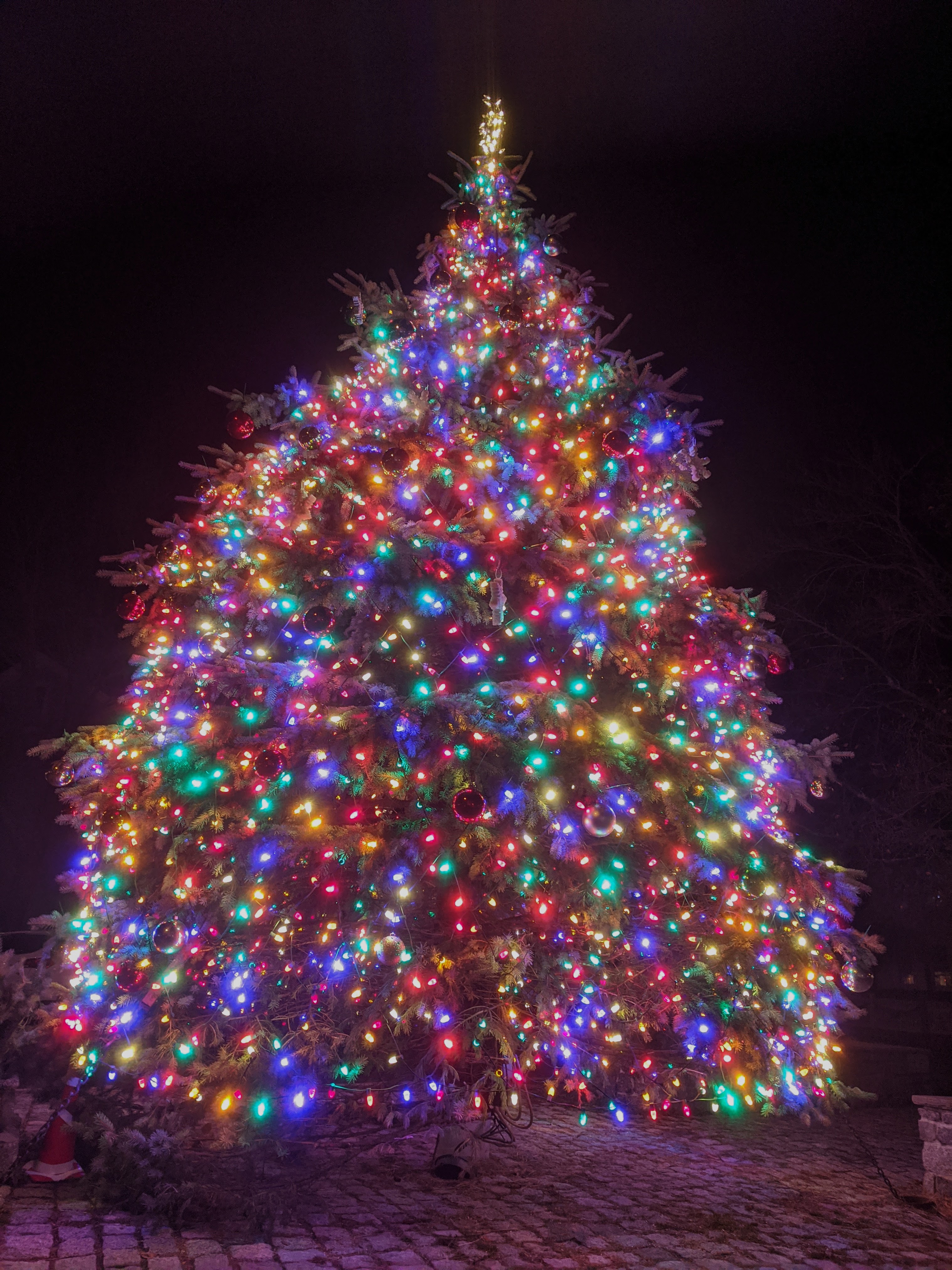
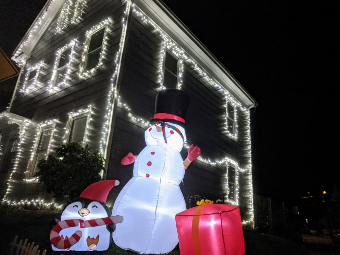
Gloucester neighborhoods are shining bright! There are some 350 houses on the 2022 map. The map is smart phone ready with house pictures. A little light goes a long and welcome warm way. It’s dark so early now!
New homes mapped on December 14th,16th, &18th cover some of Gloucester’s main roads, mostly in West Gloucester, Magnolia, and along Rt. 127. Enjoy scenes from:
Rt. 133/ Essex Ave from Kent Circle tree past Little River to Rt. 128
Concord St.
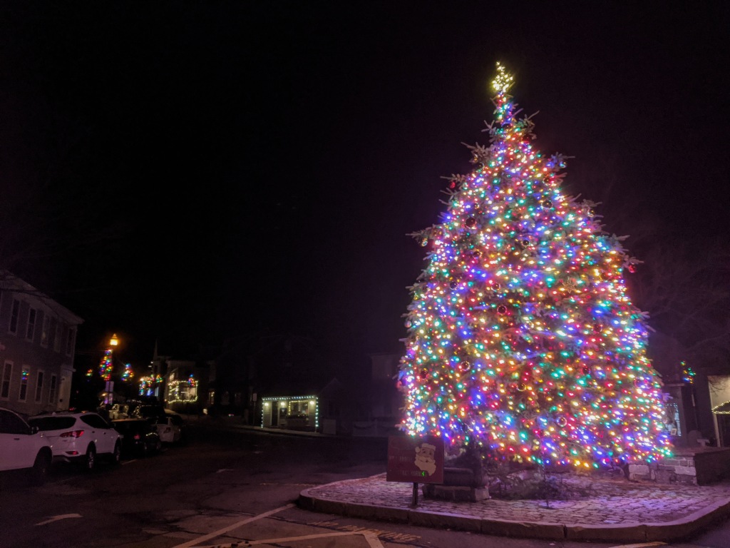
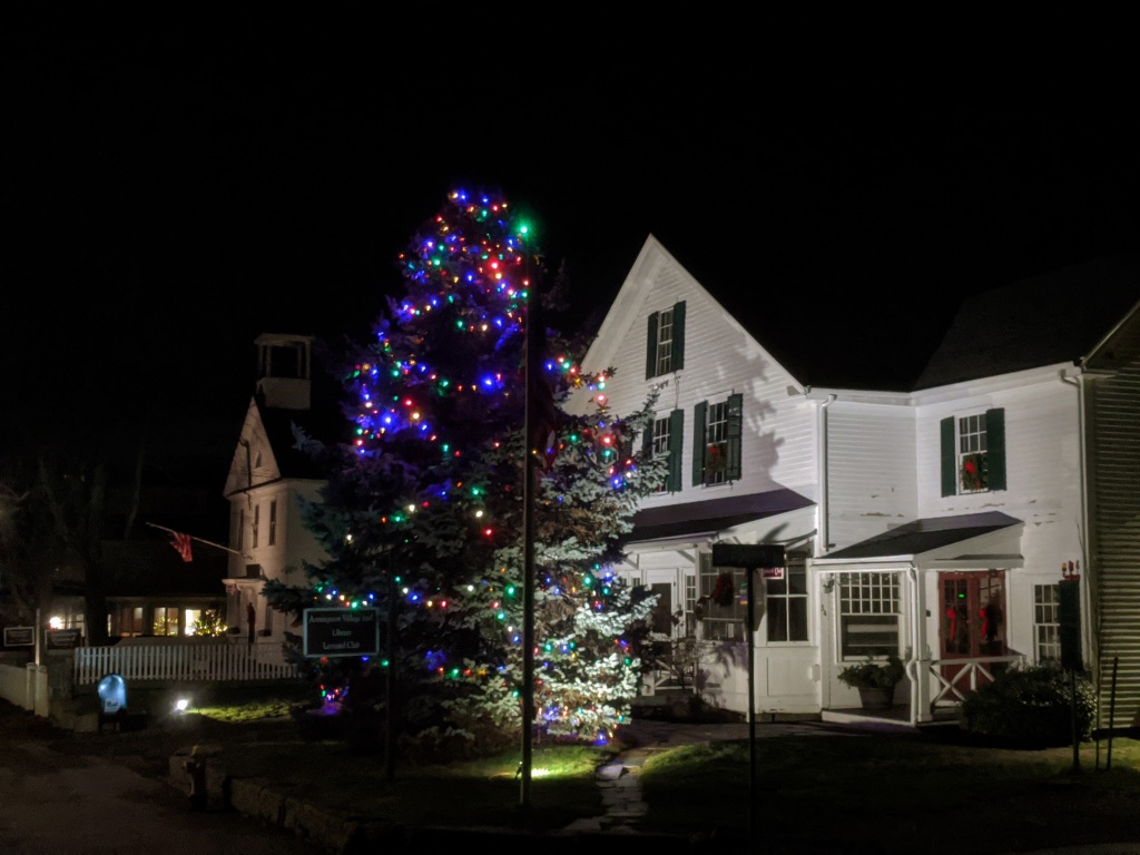
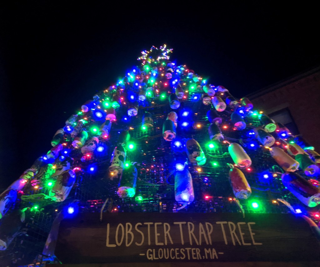
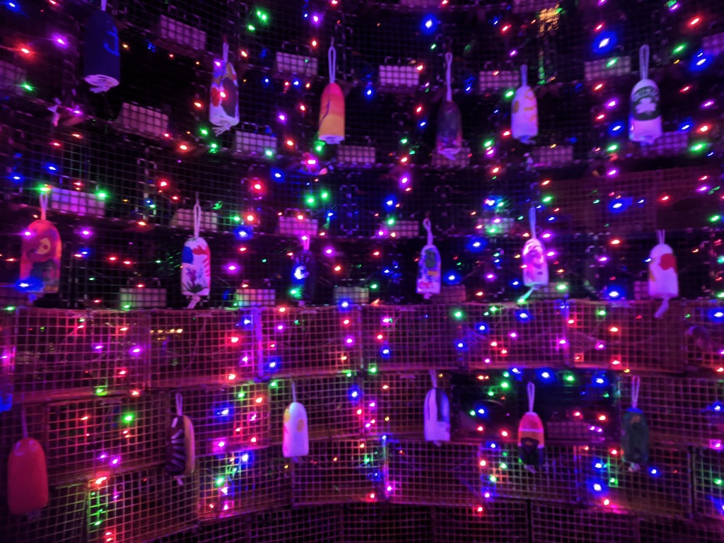
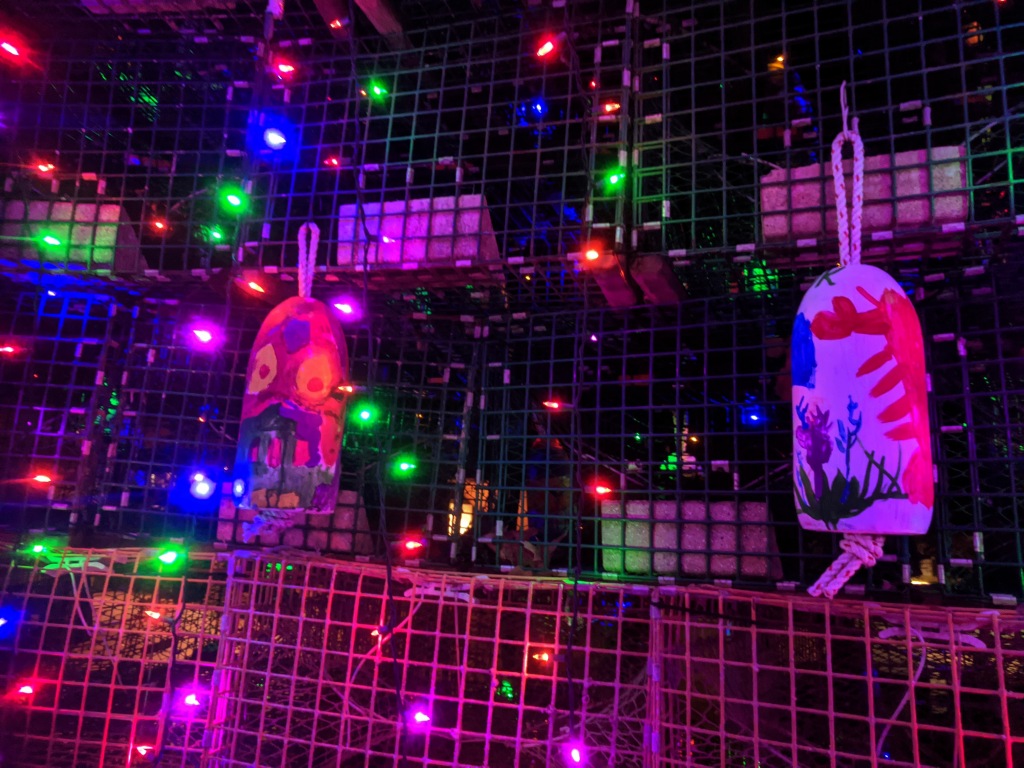
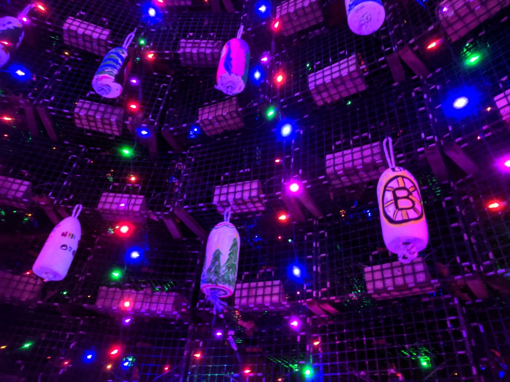
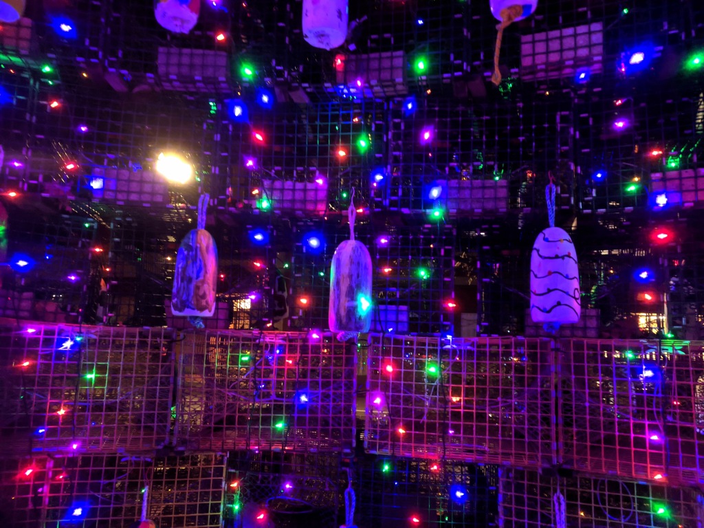
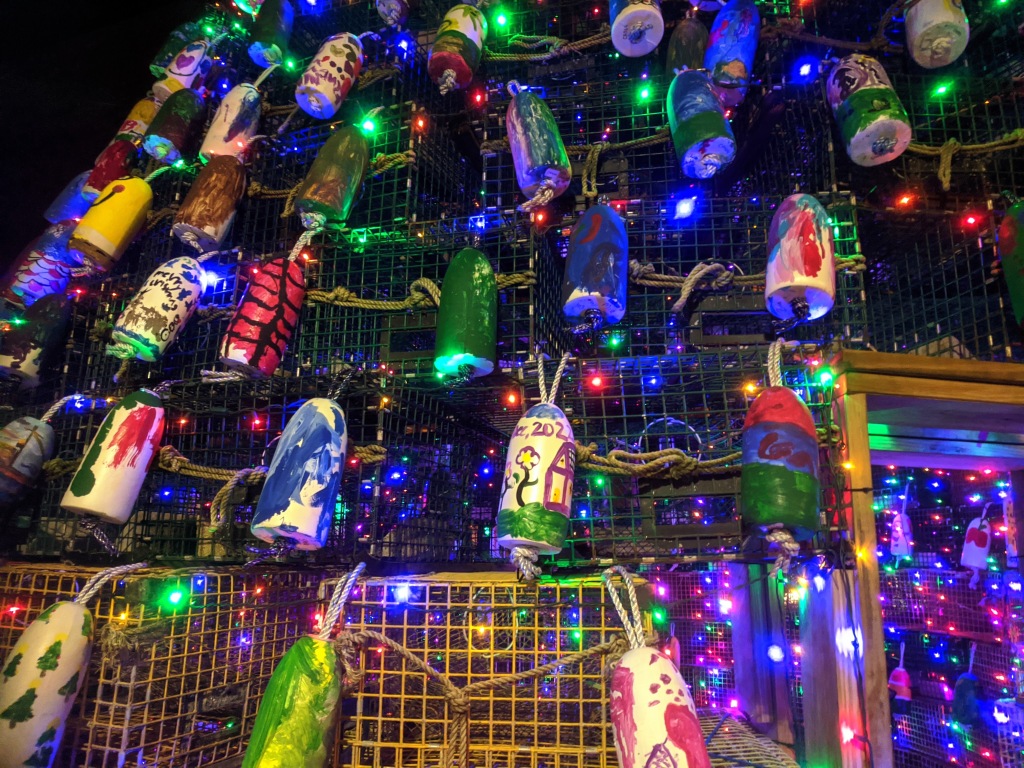
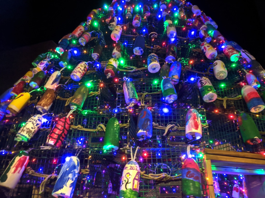
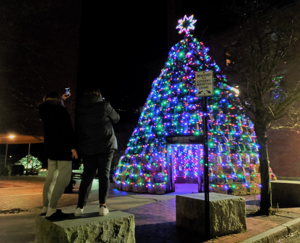
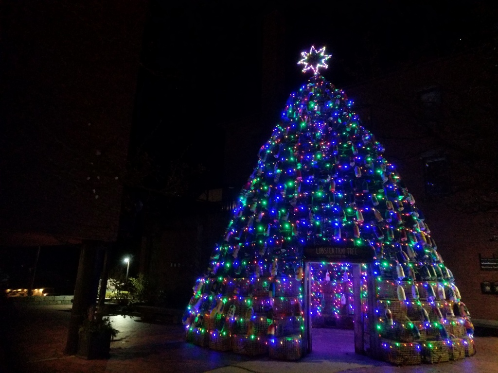
Main Street – lobster trap tree
Magnolia Ave.
Western Ave.- Rt. 127
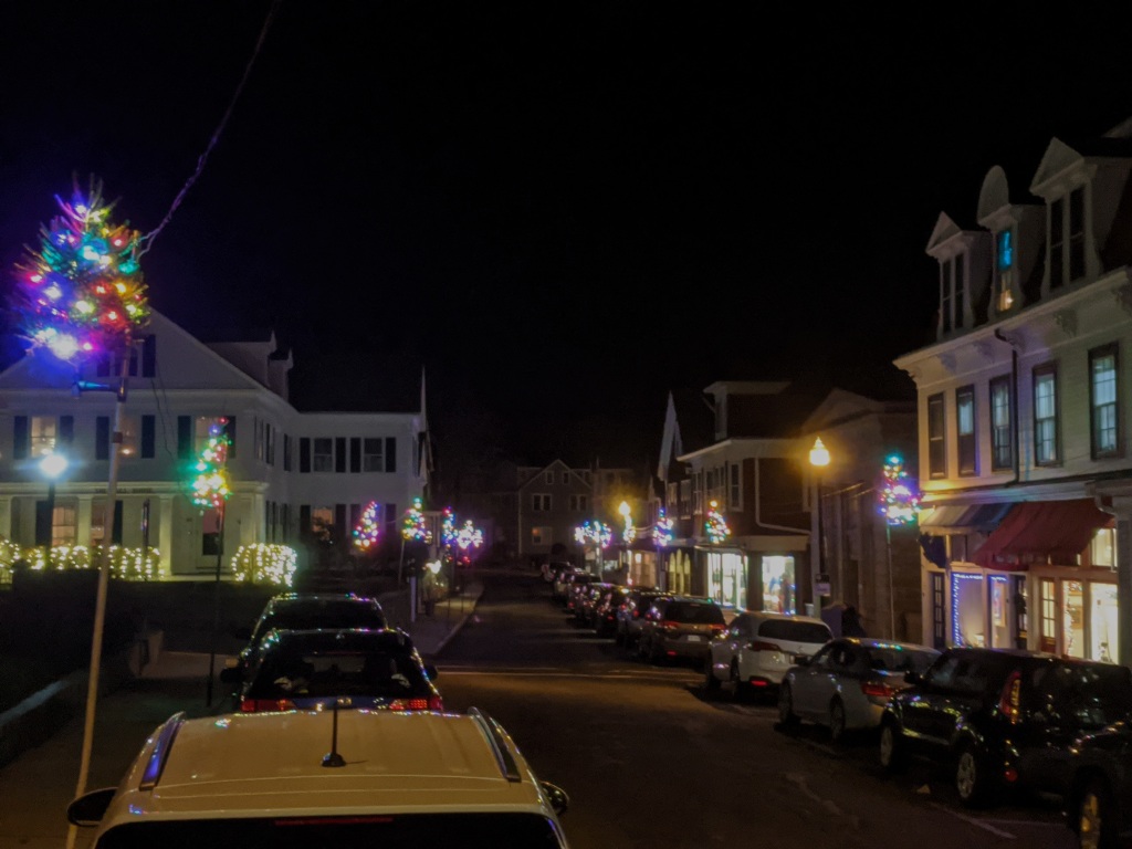
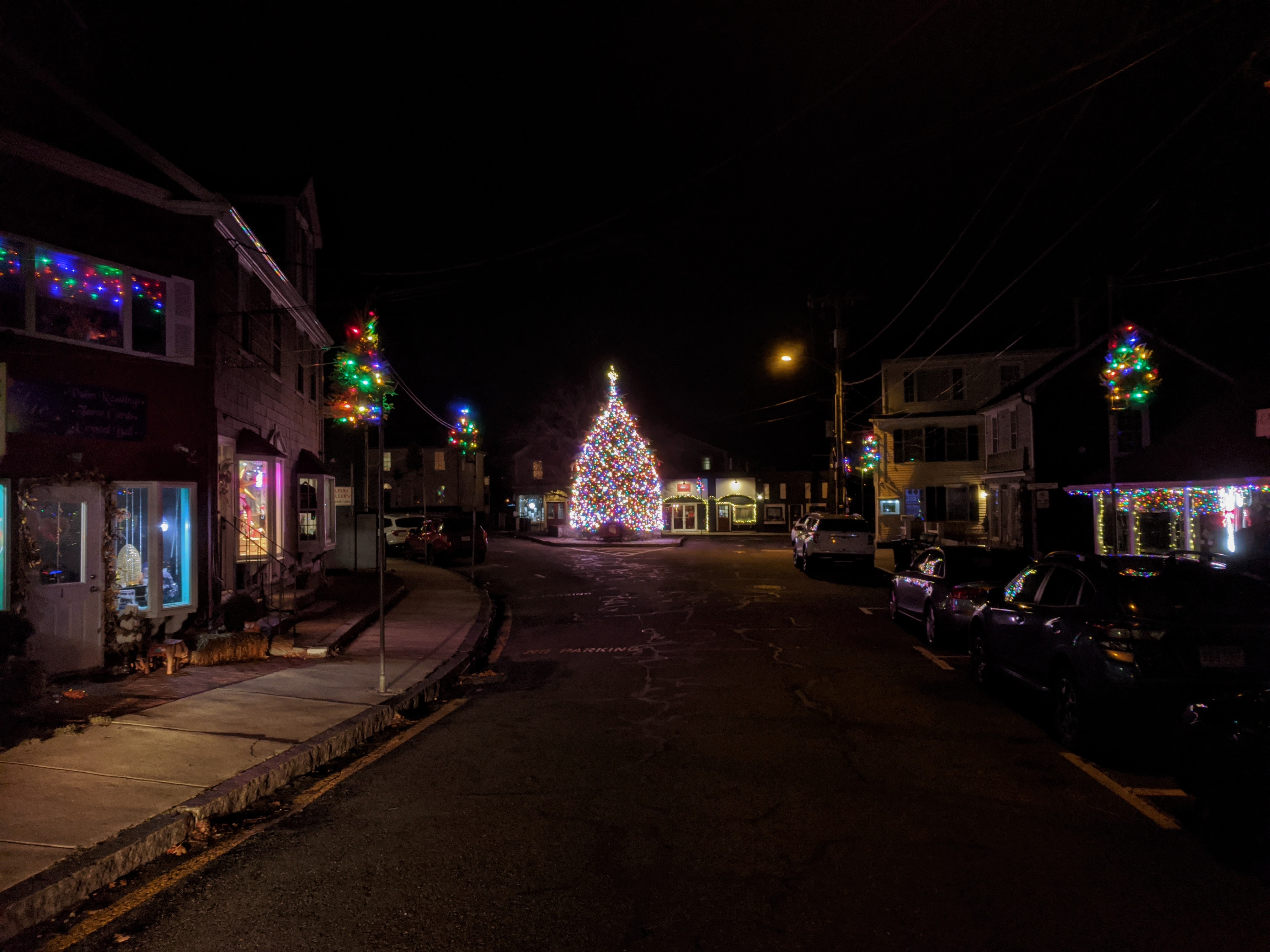
Thatcher R. – Rt. 217A by Long Beach Dairy Maid, thru Rockport, Tree in Dock Square, then Rt. 127-Washington St. loop Lanesville, Plum Cove, Bayview, Annisquam
(Scroll down to see photos. Pinch and zoom or double click depending upon your phone/desktop. On mine I double click and then have to select “Full size”. Scroll down to map.)