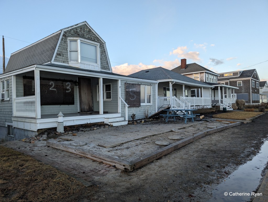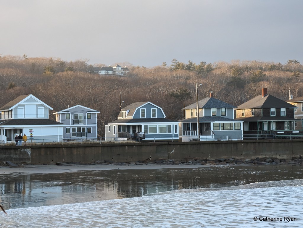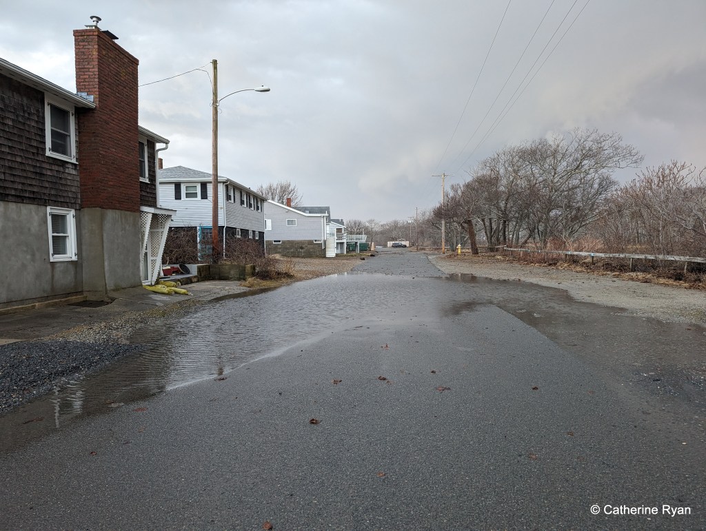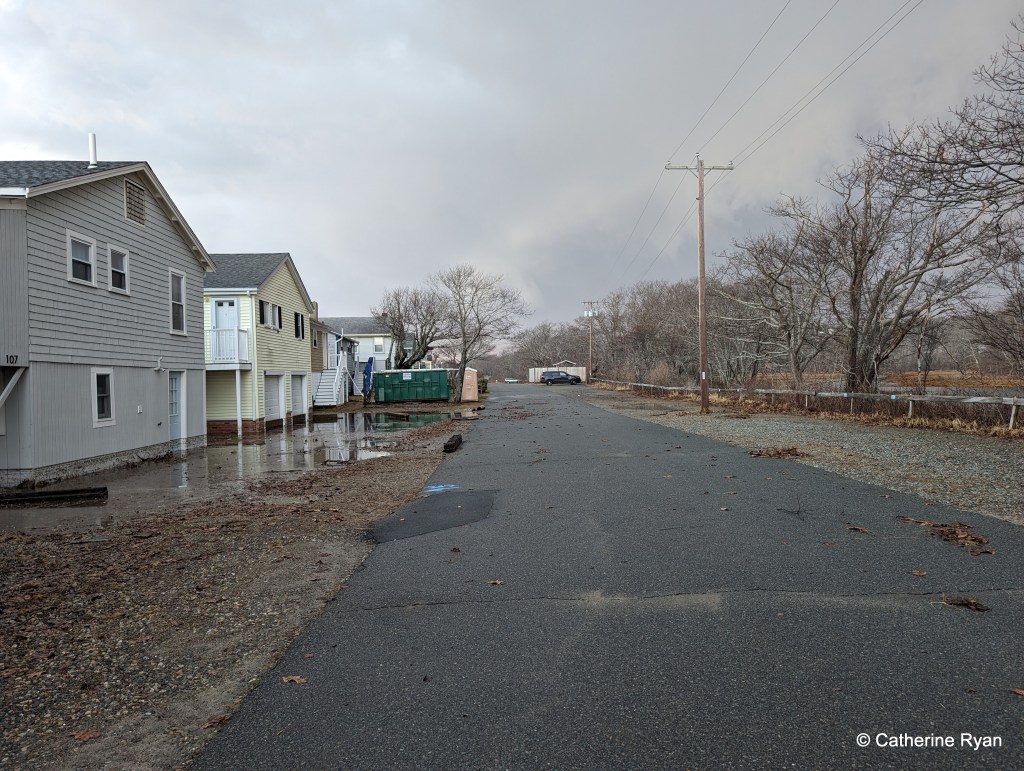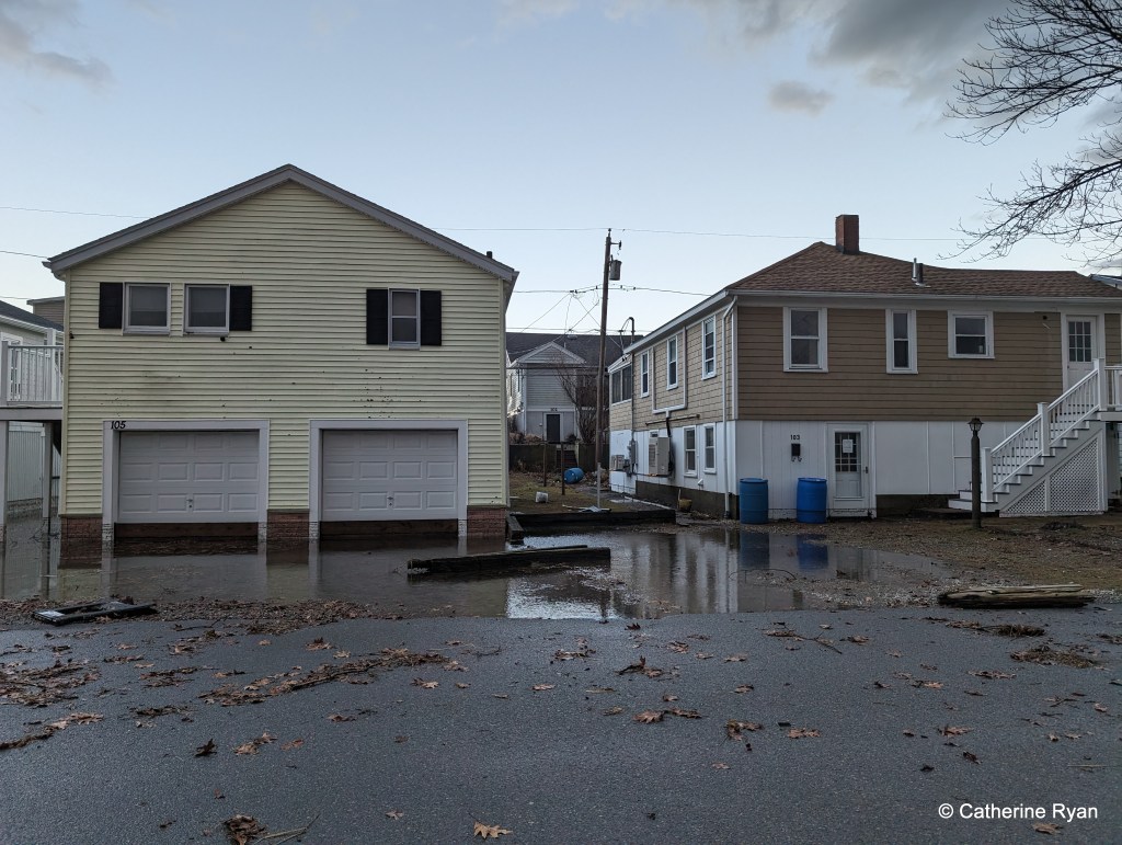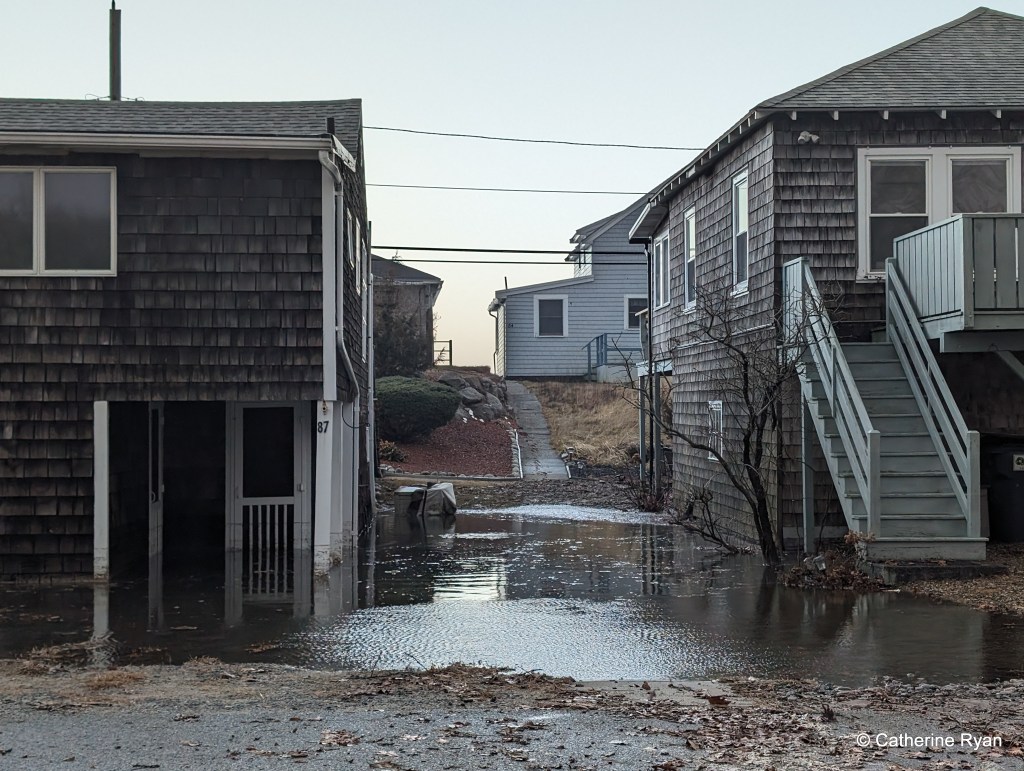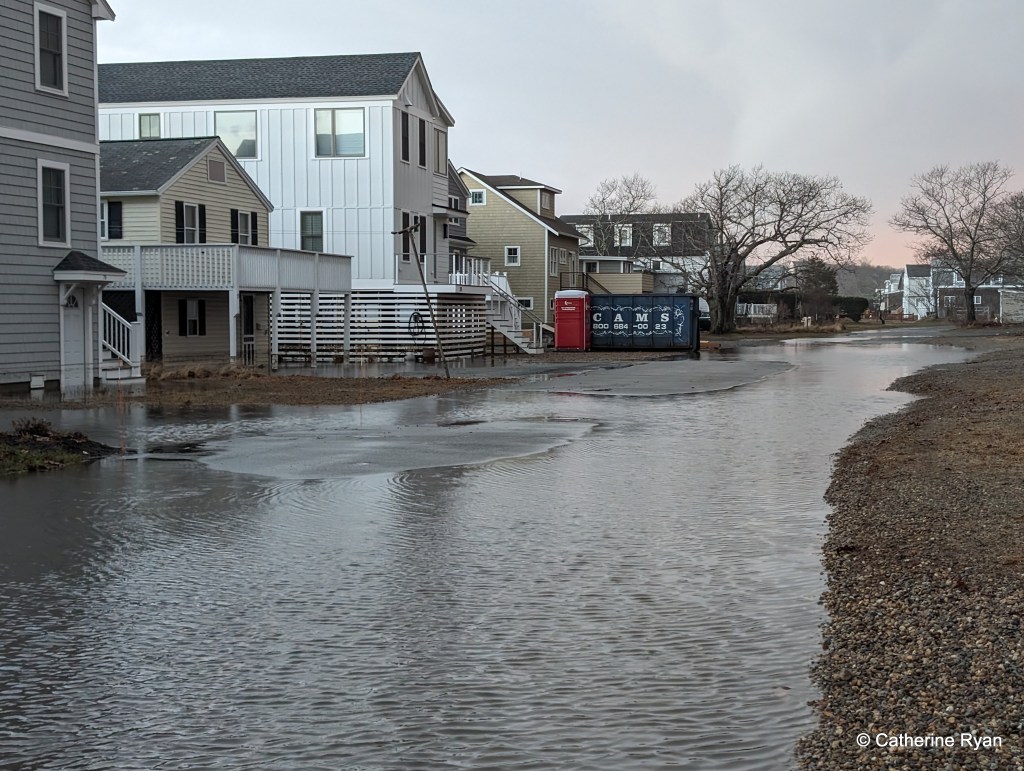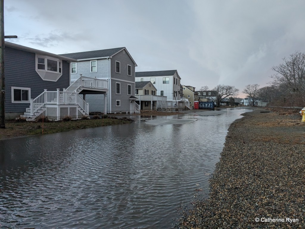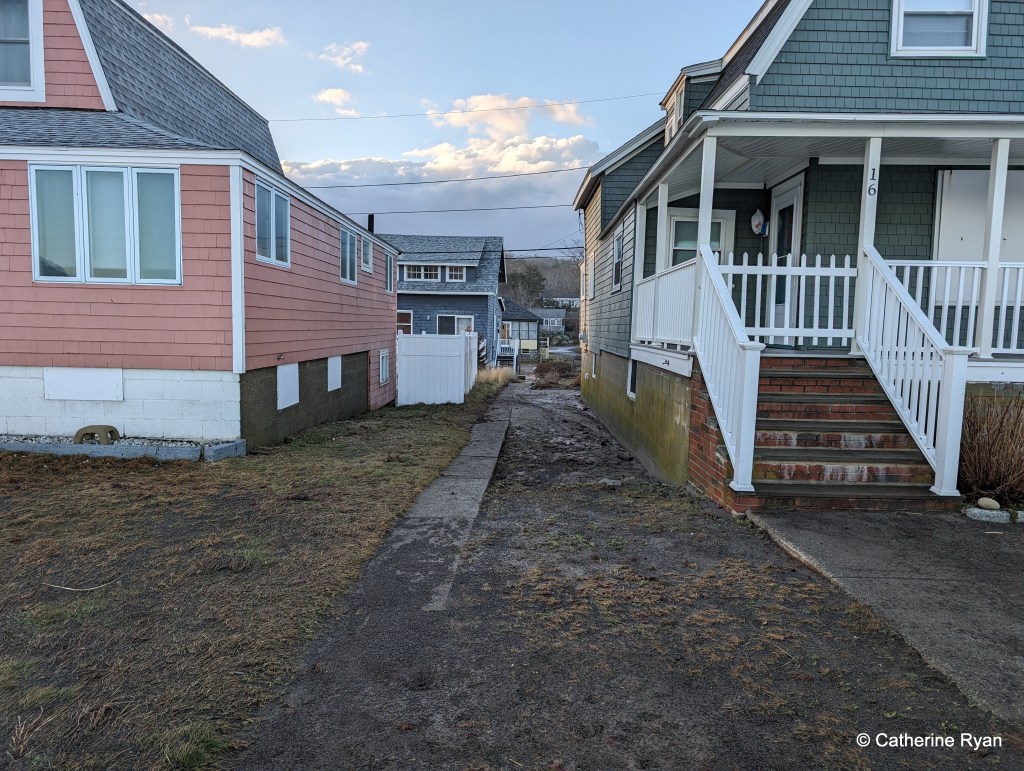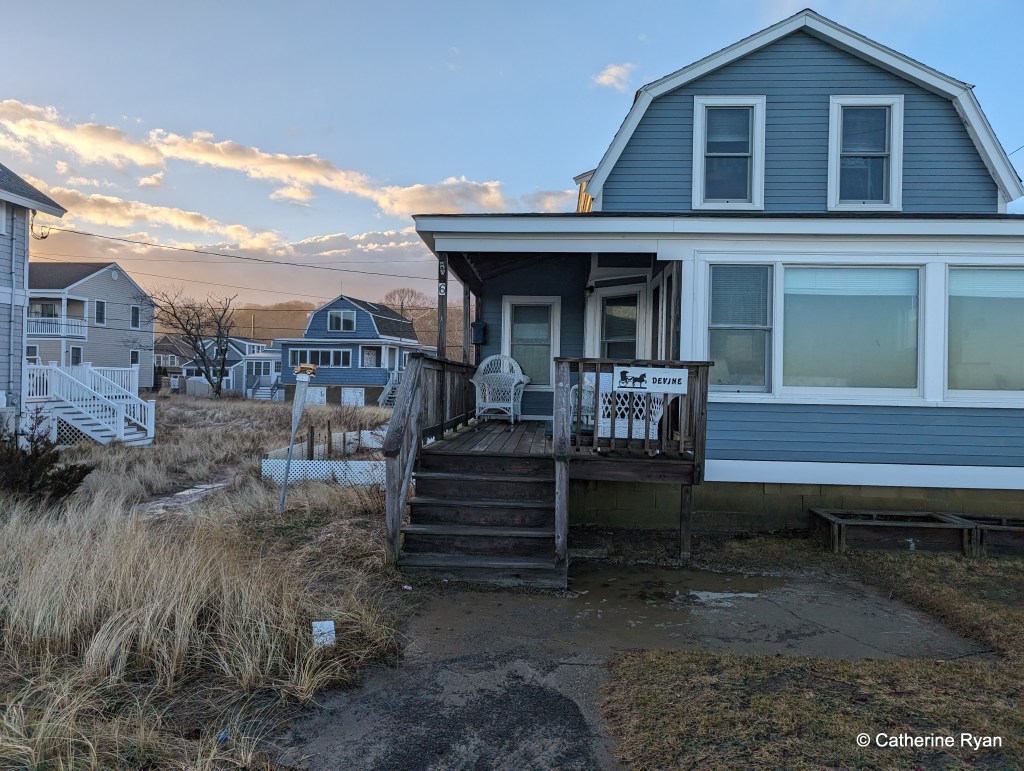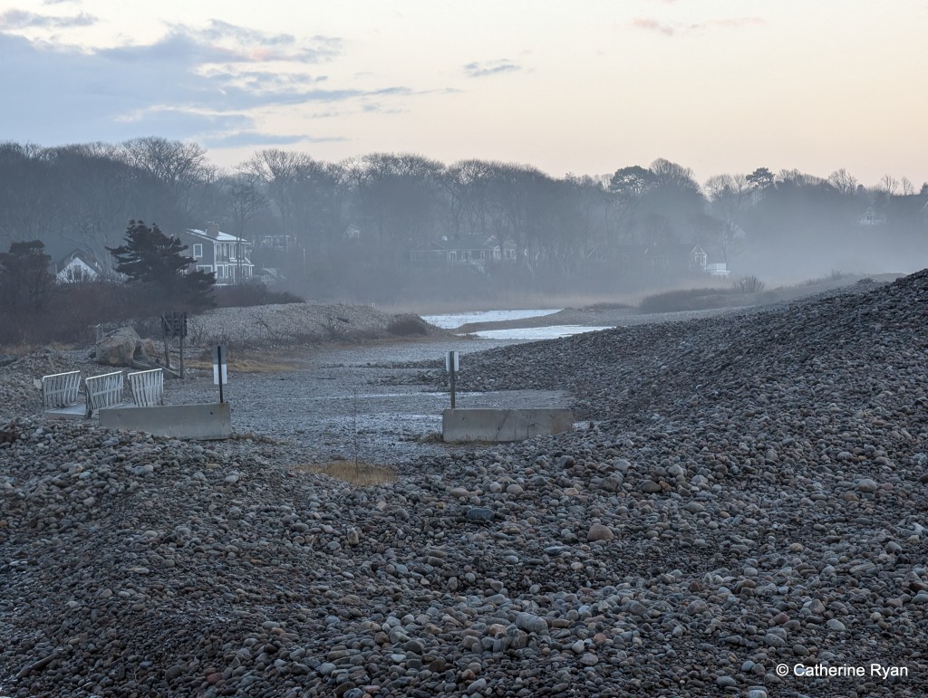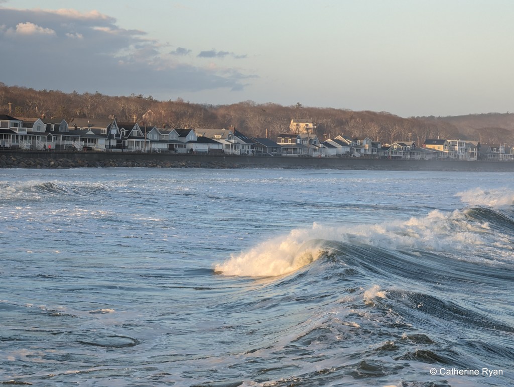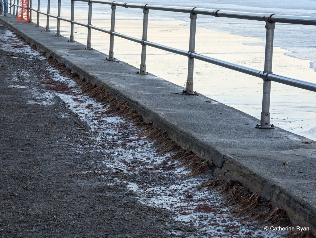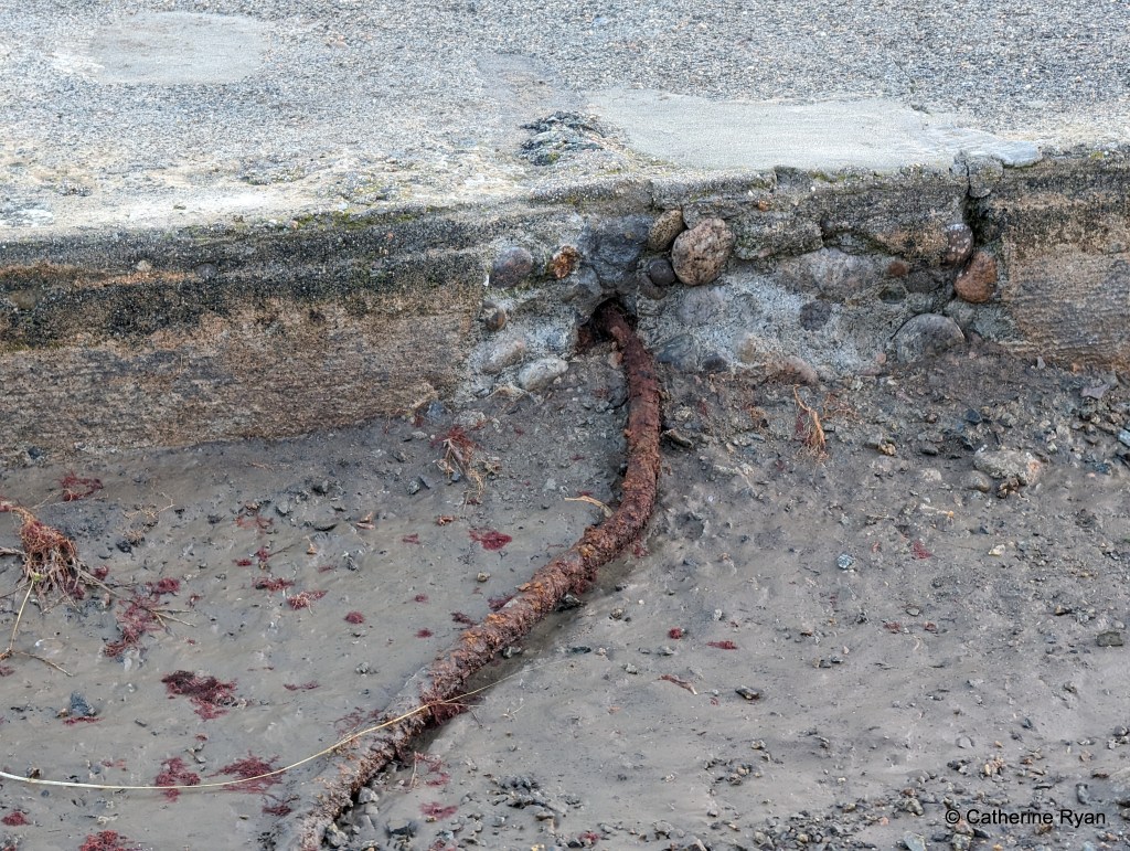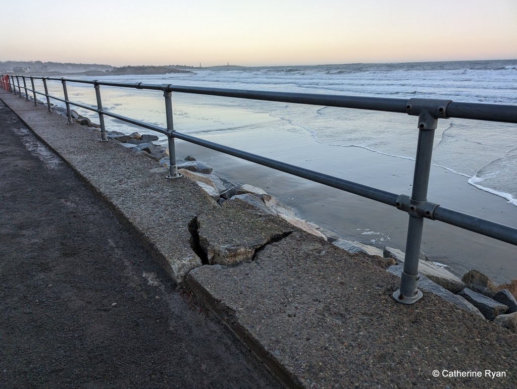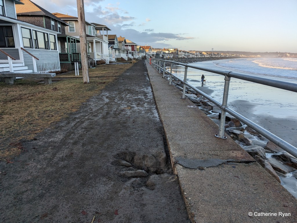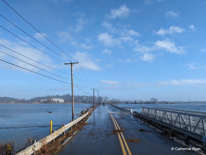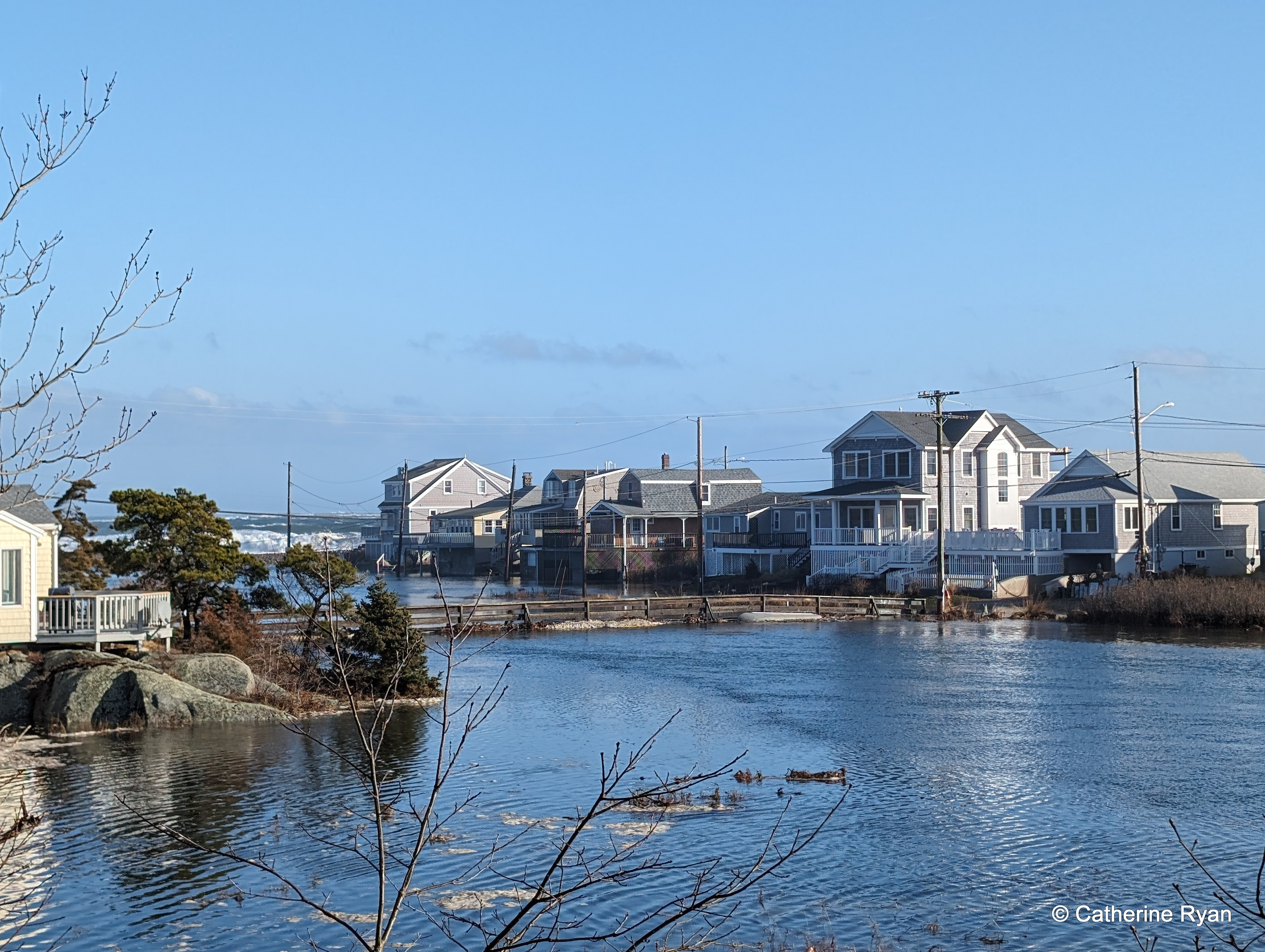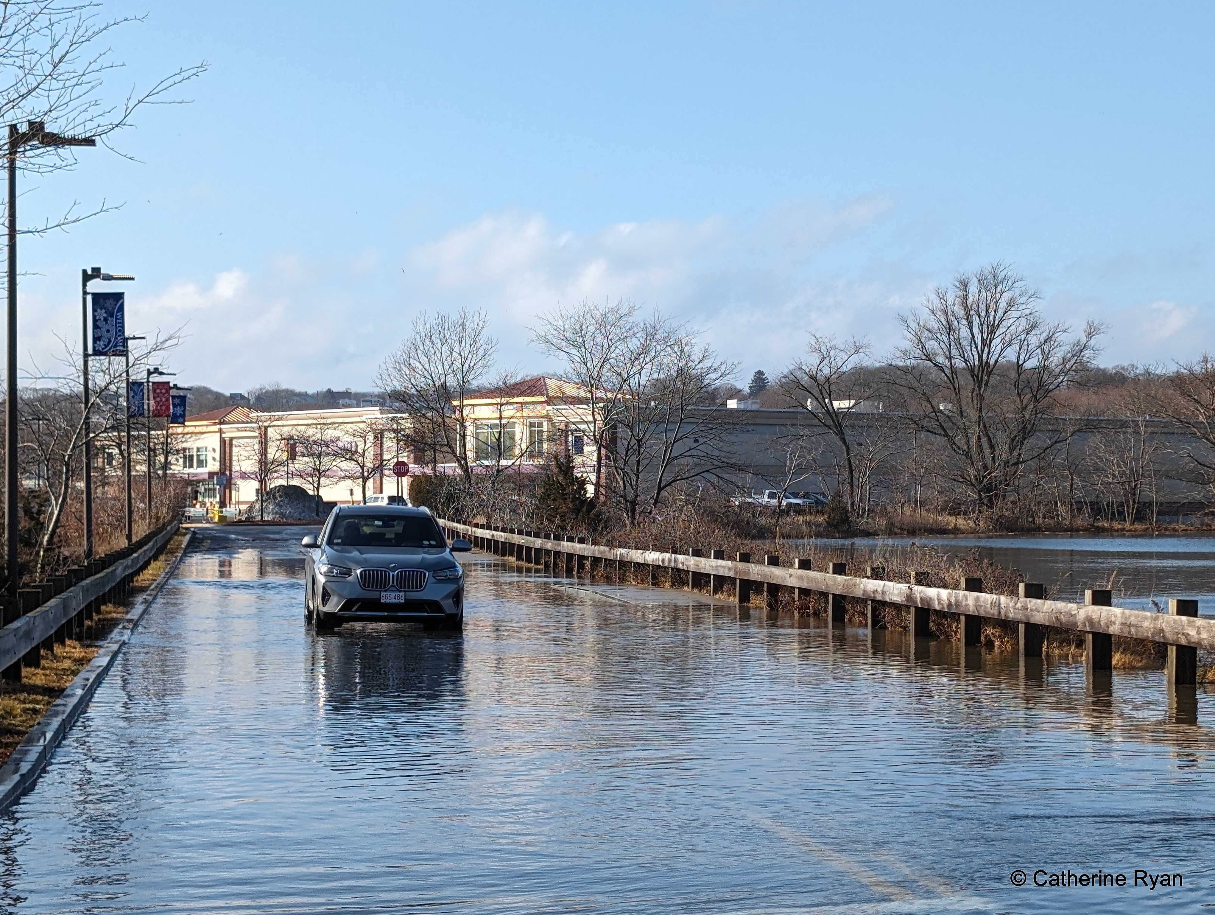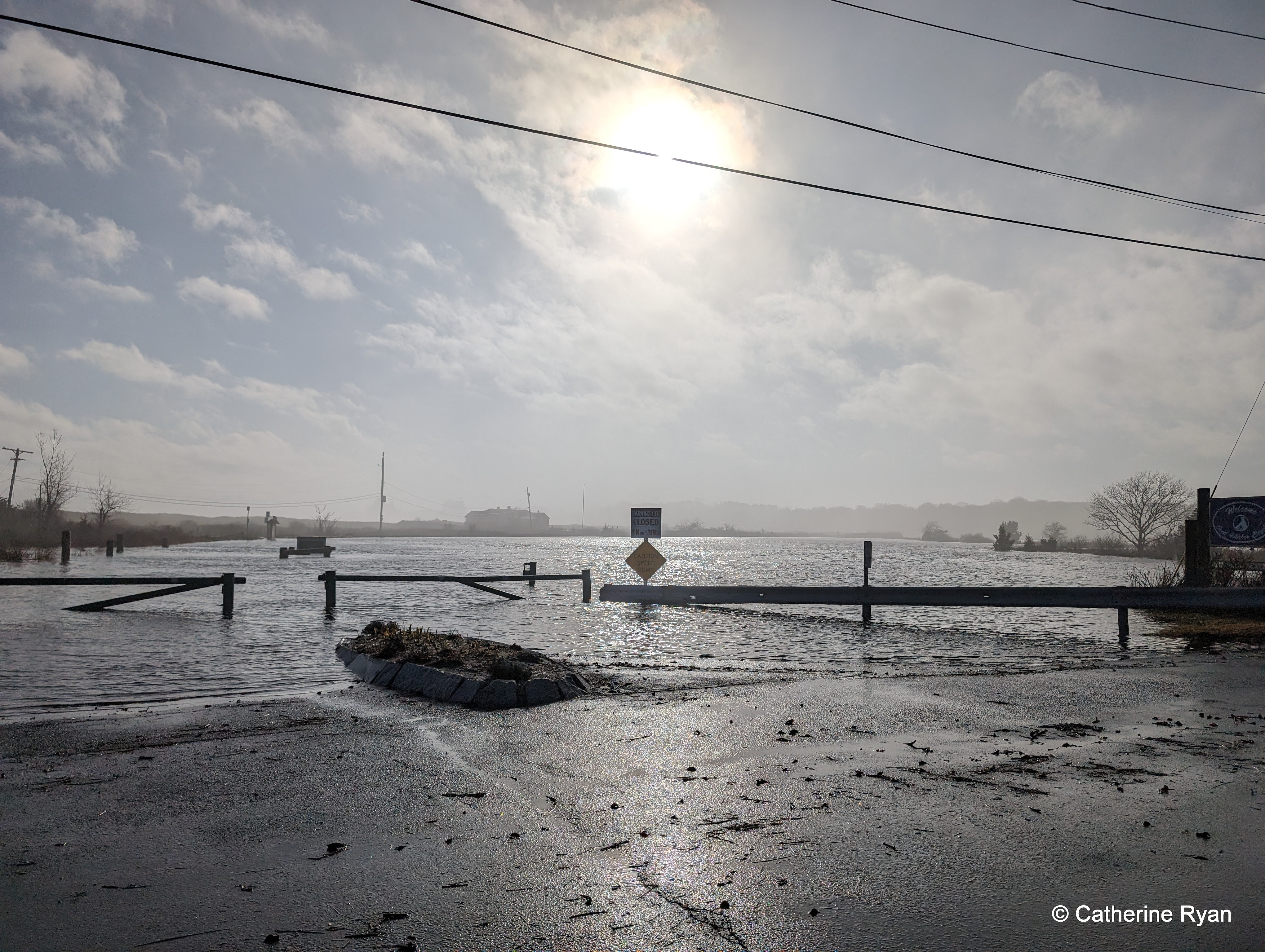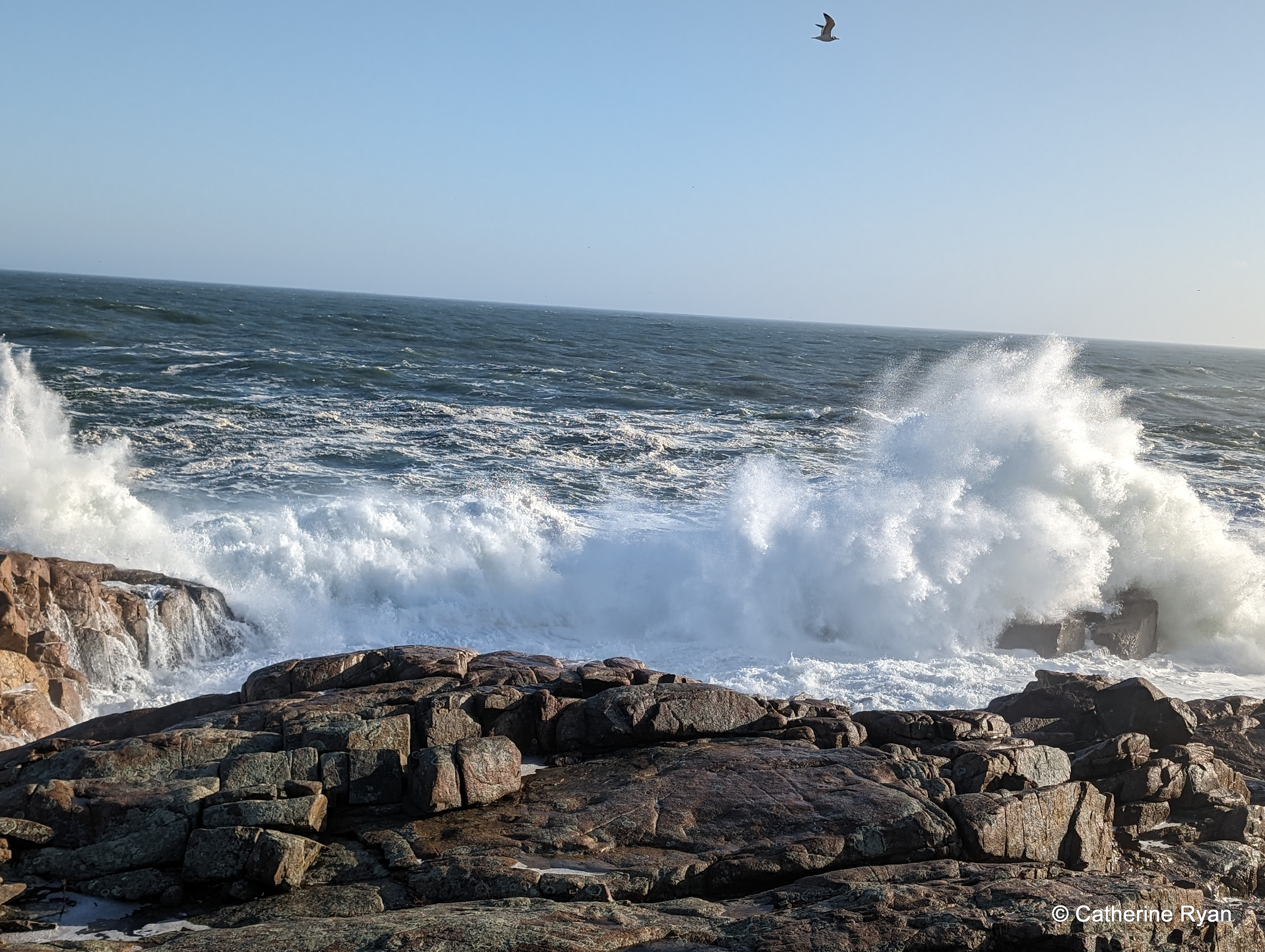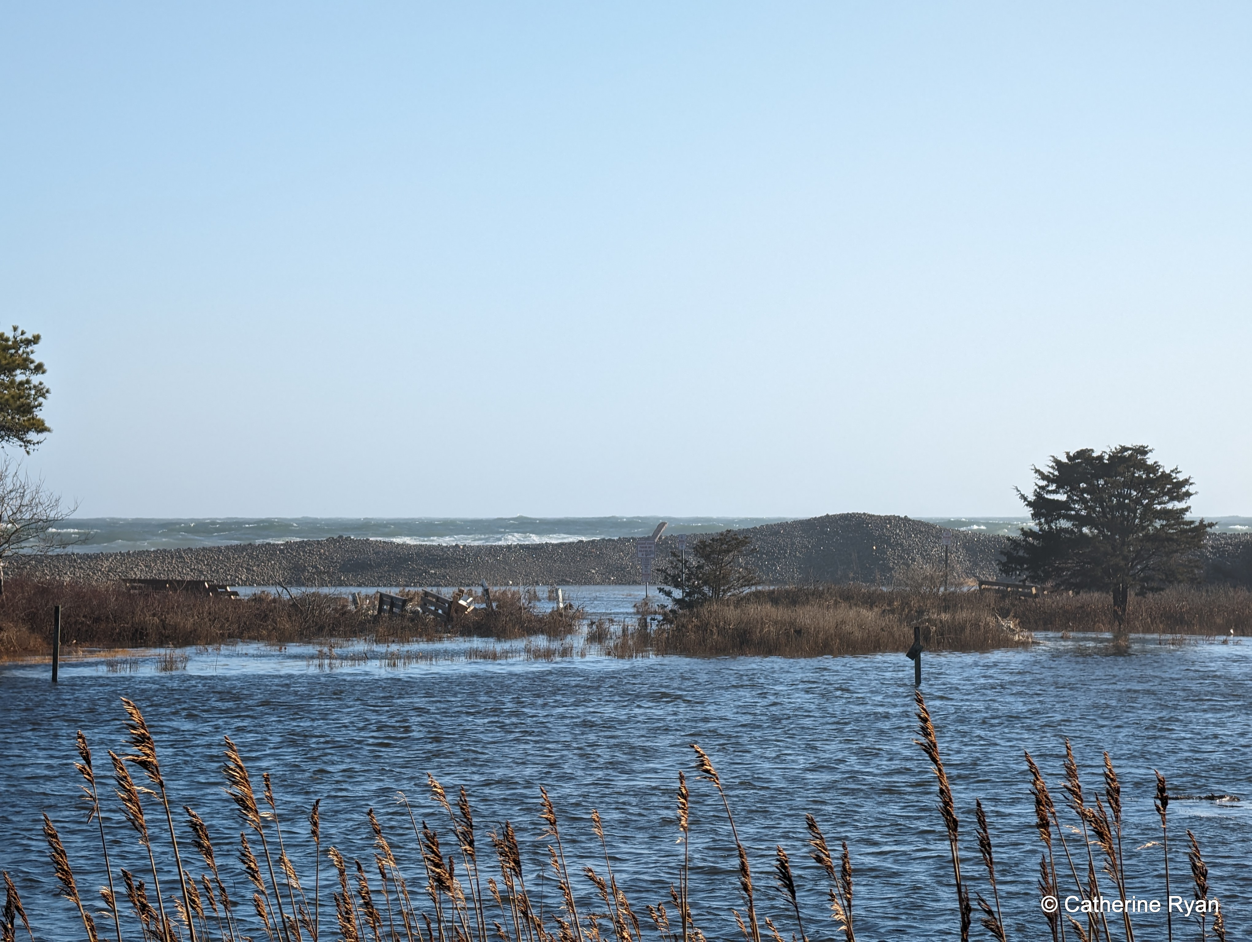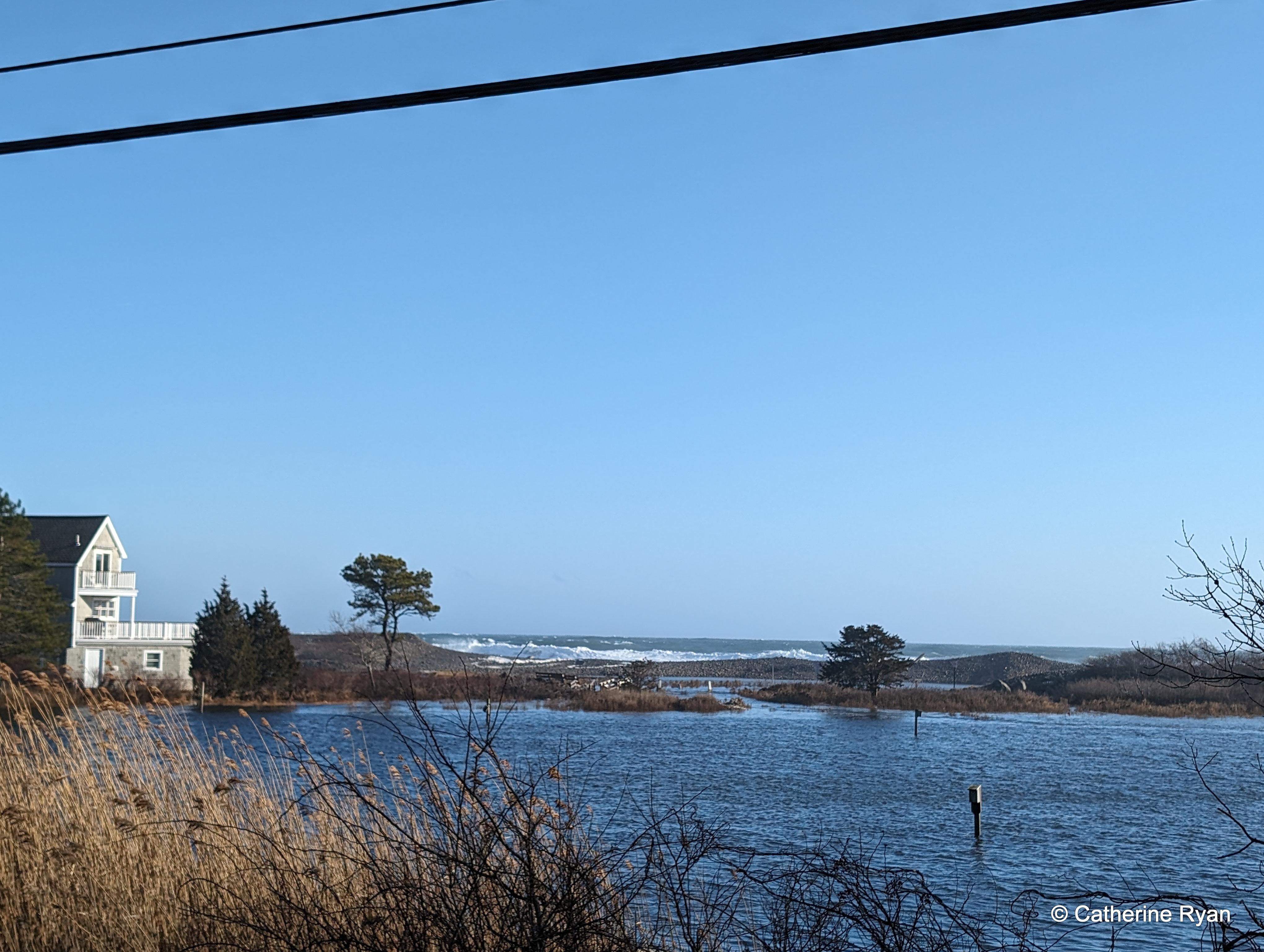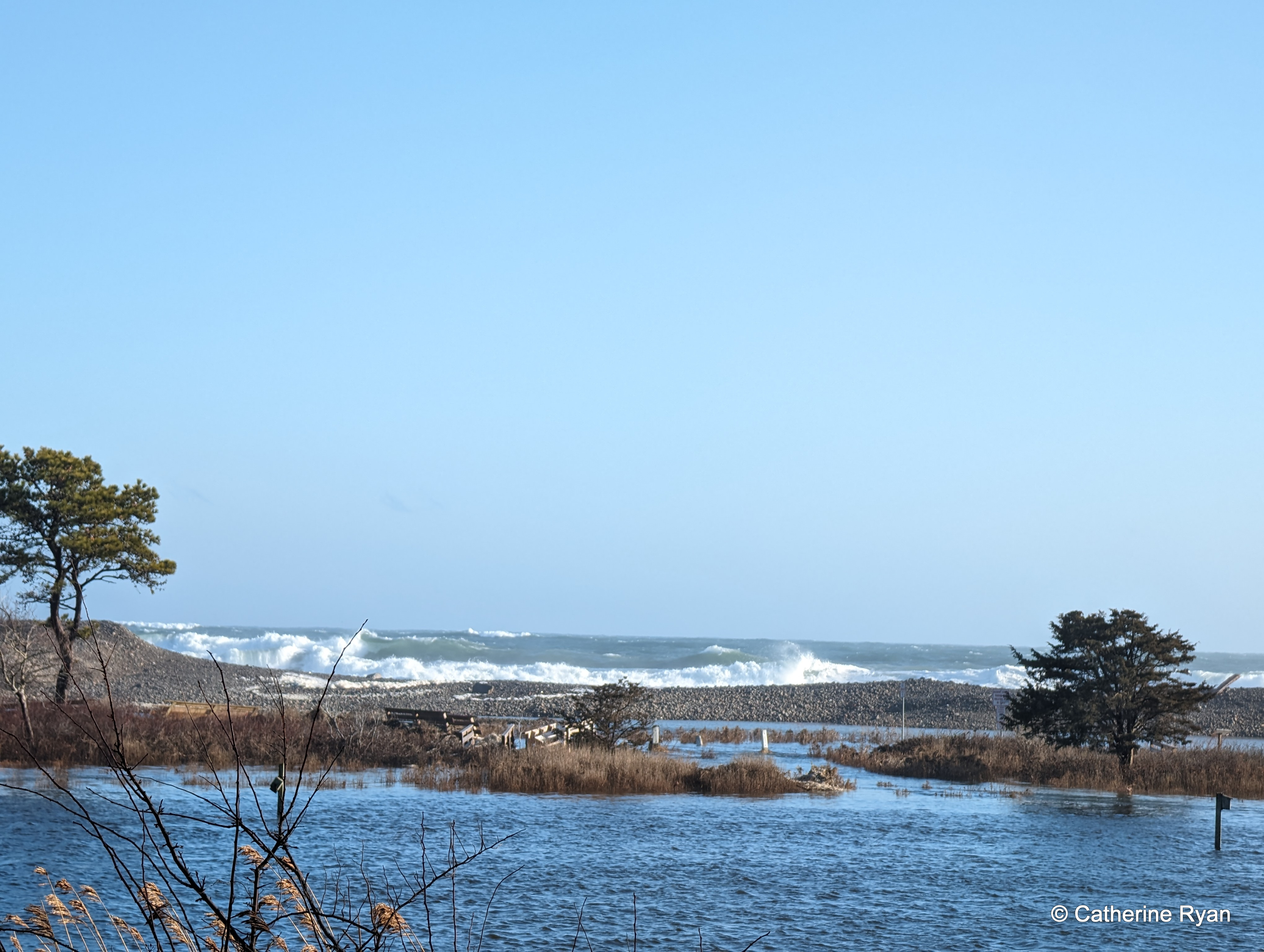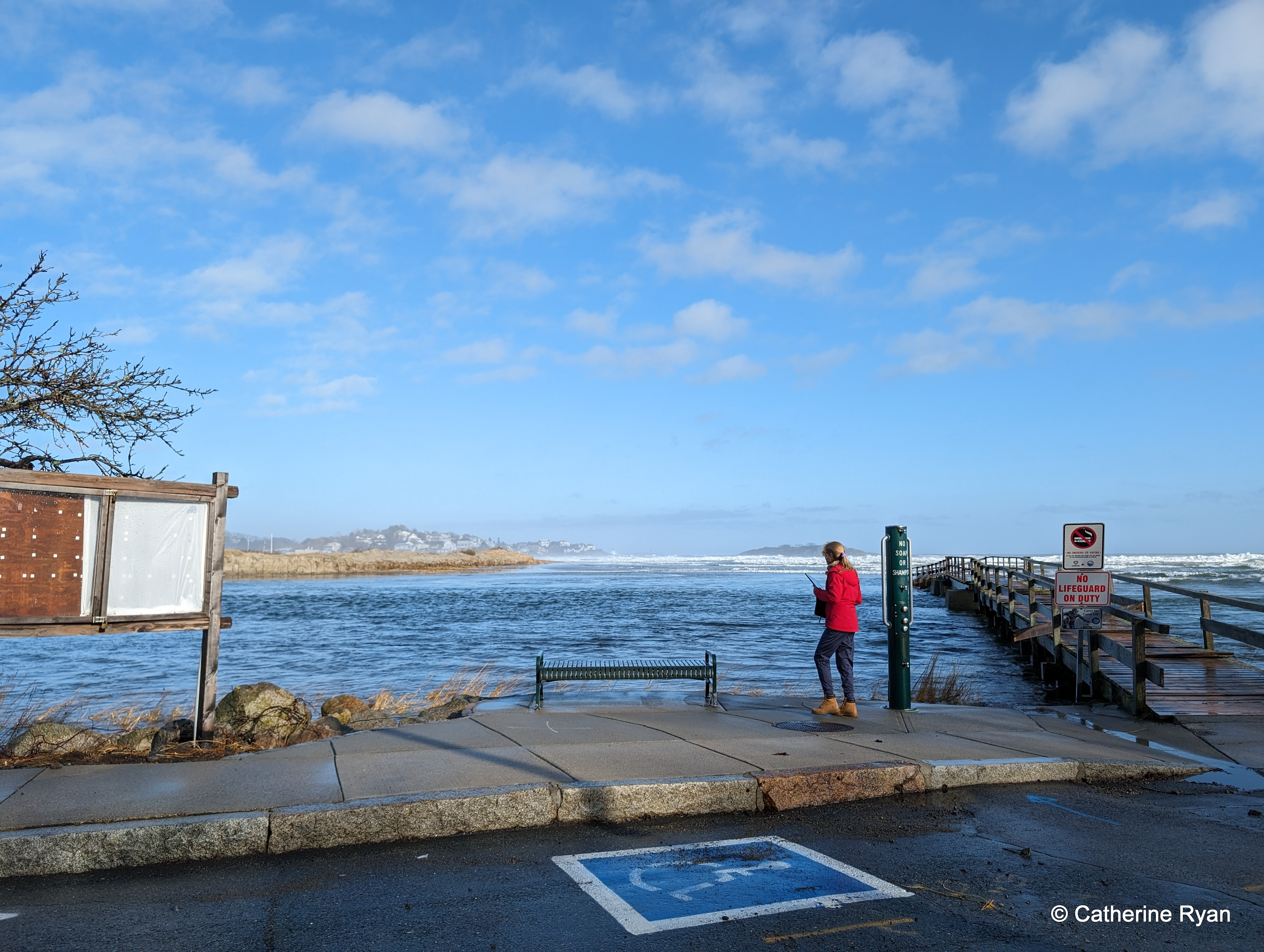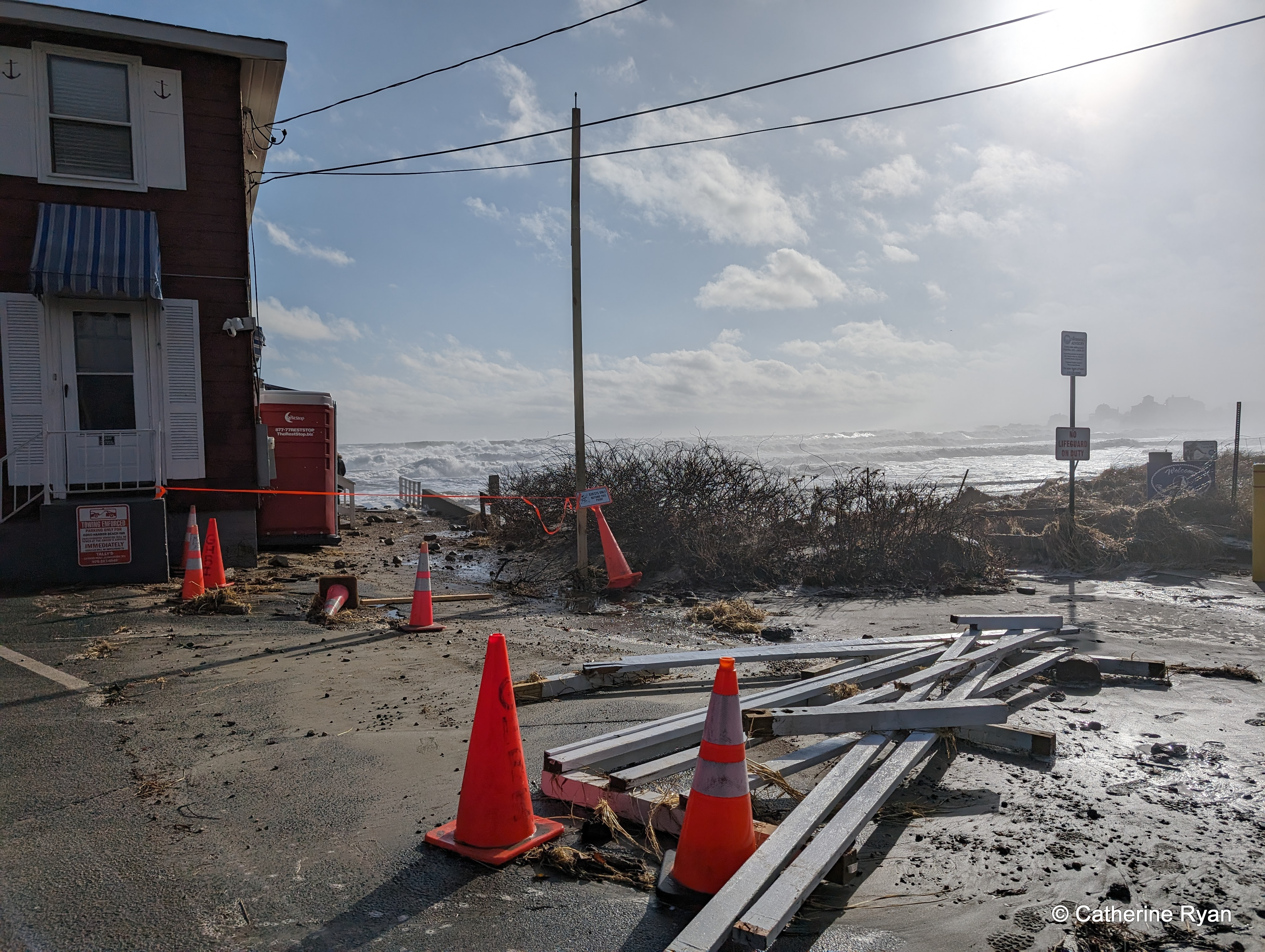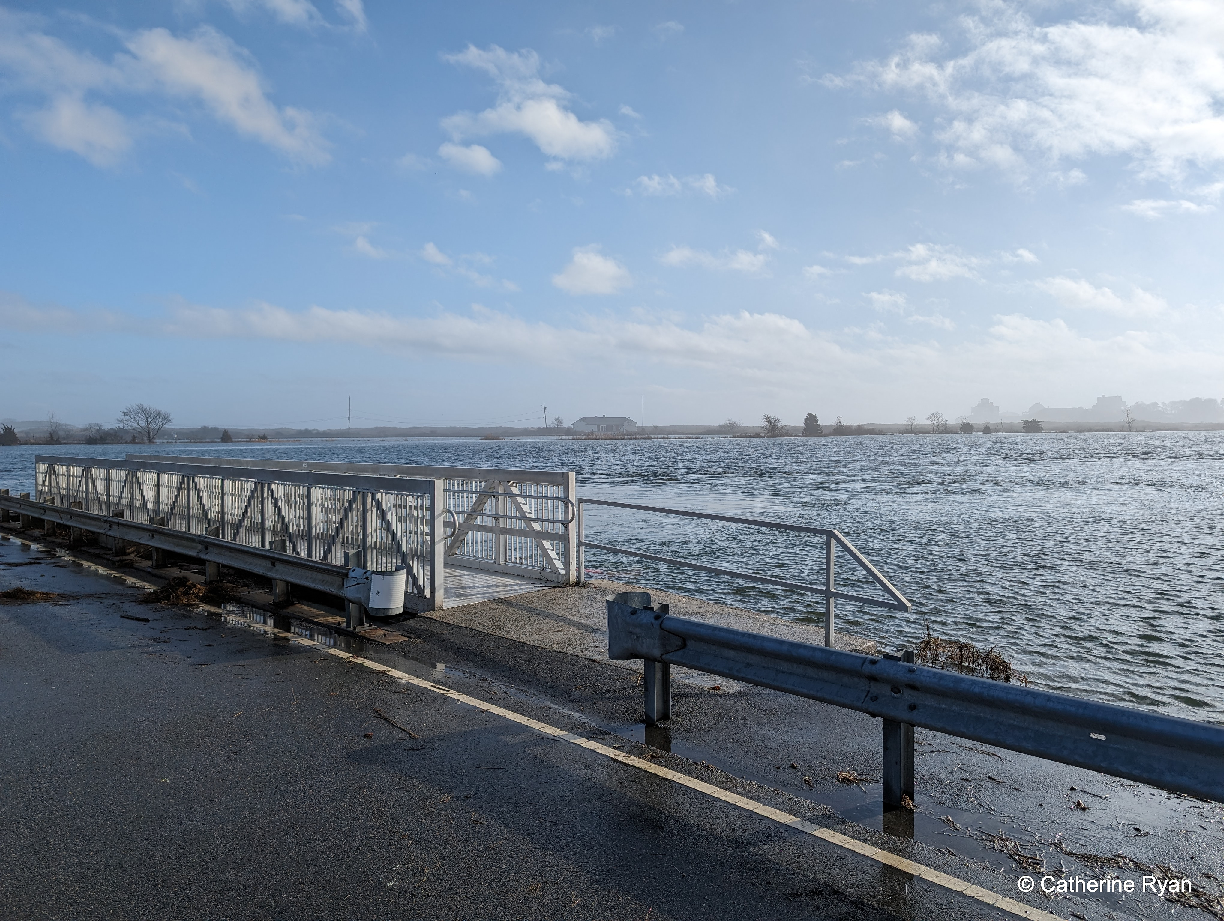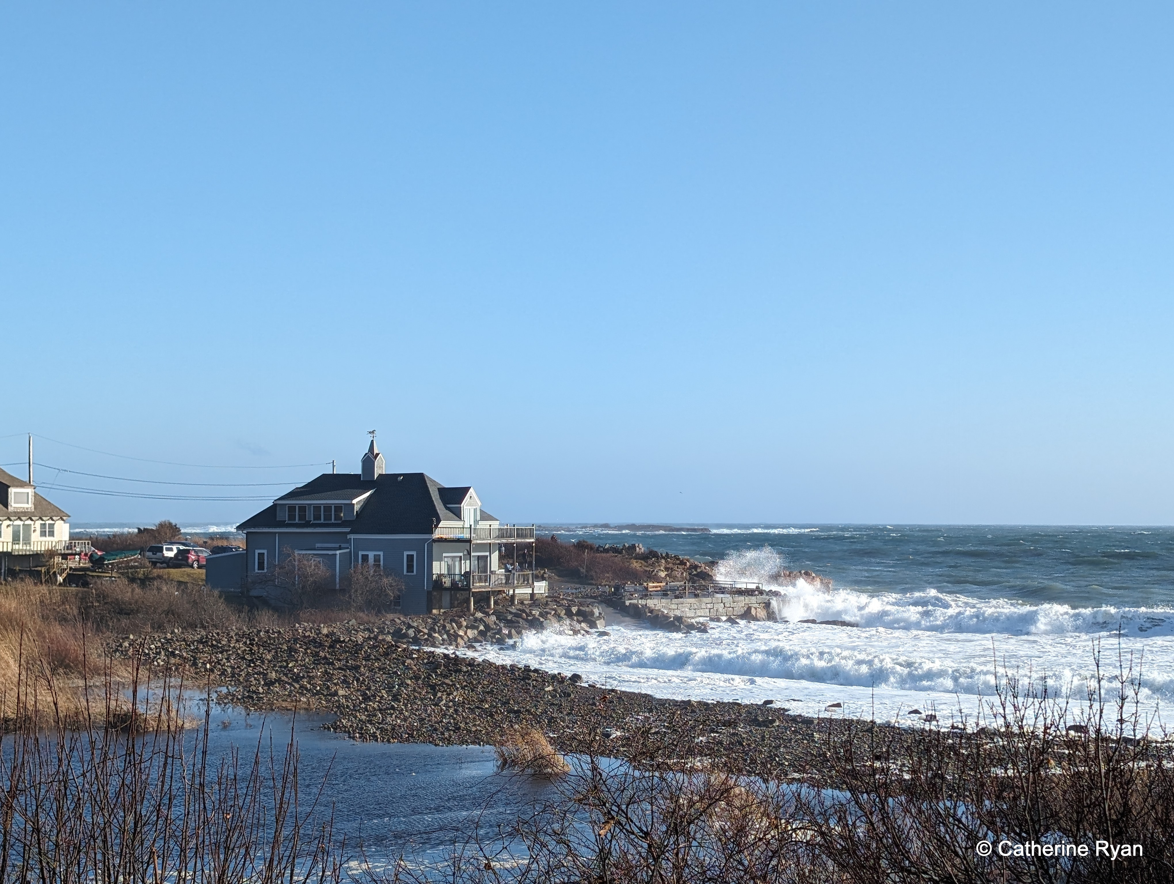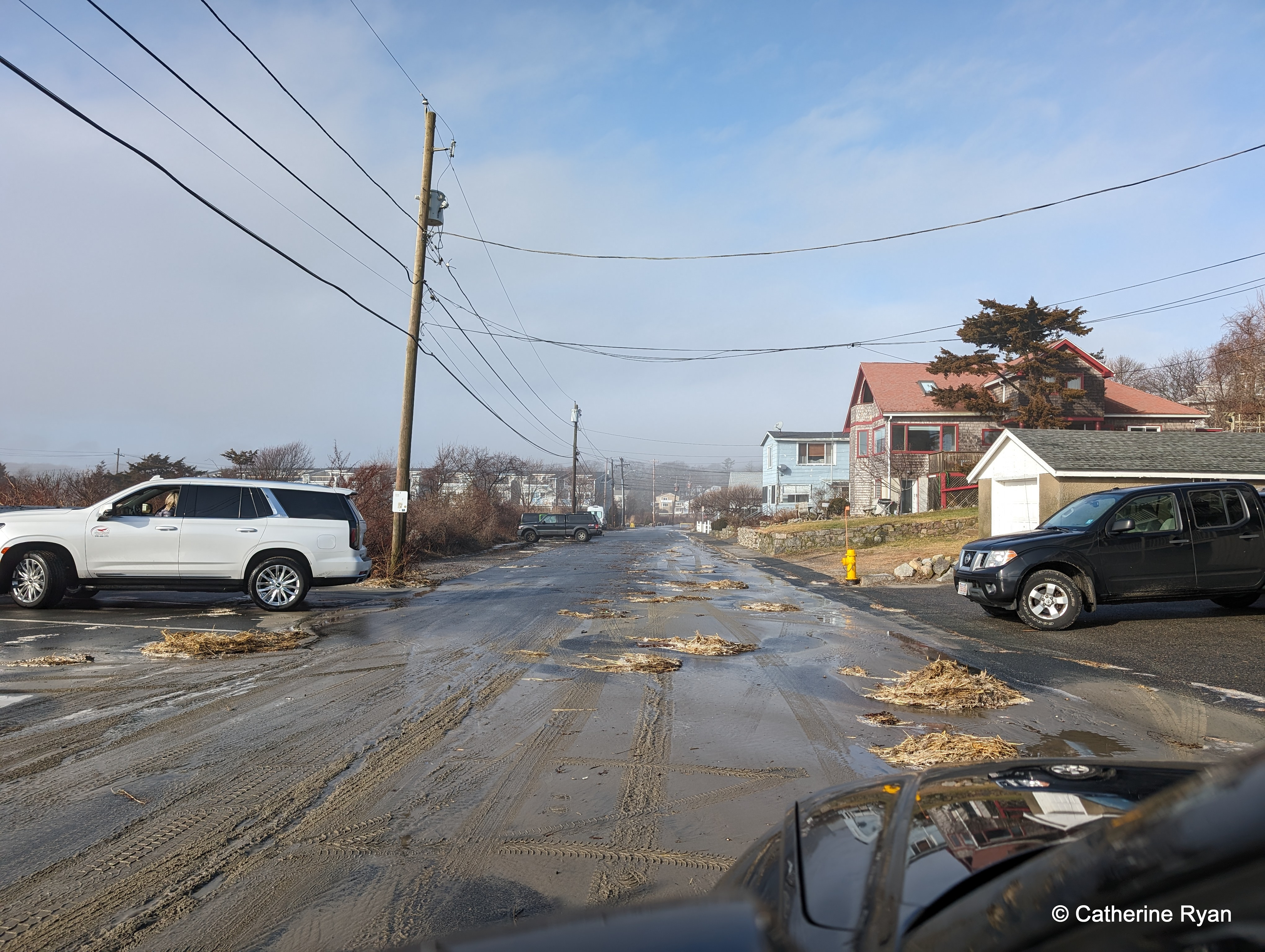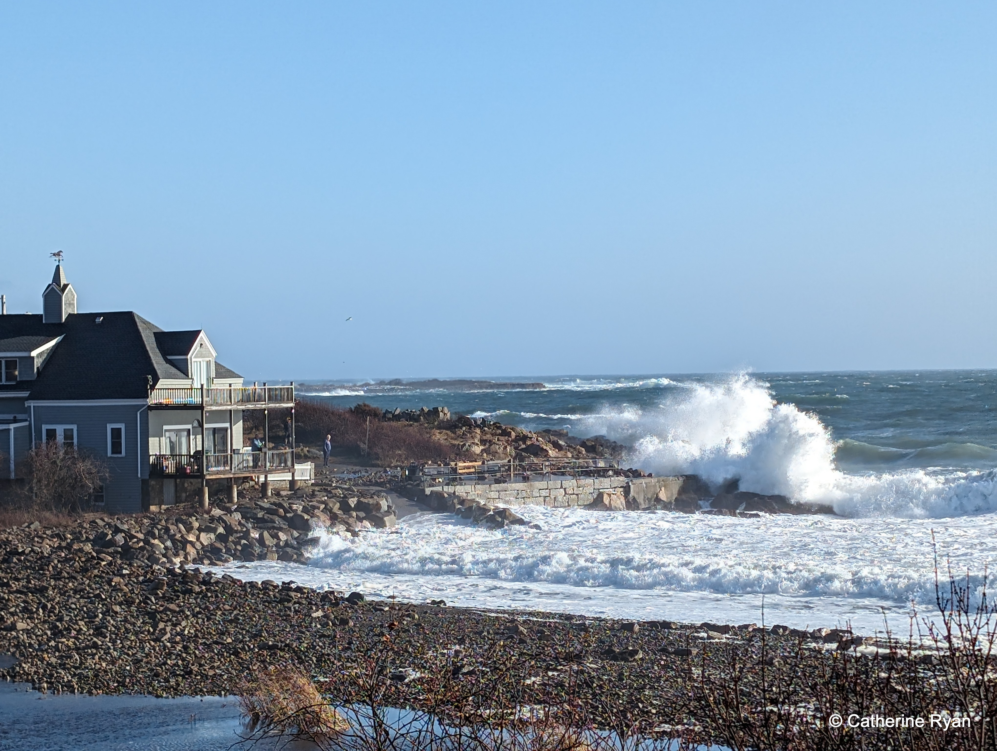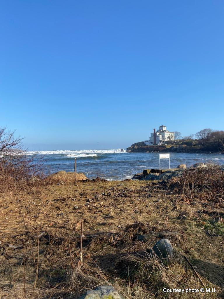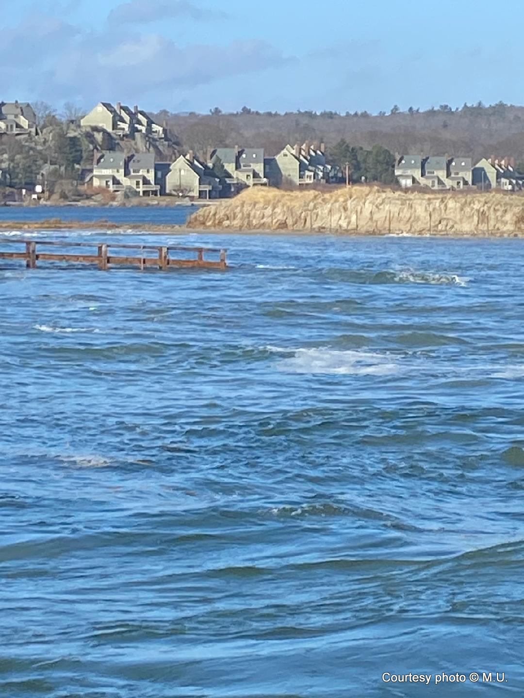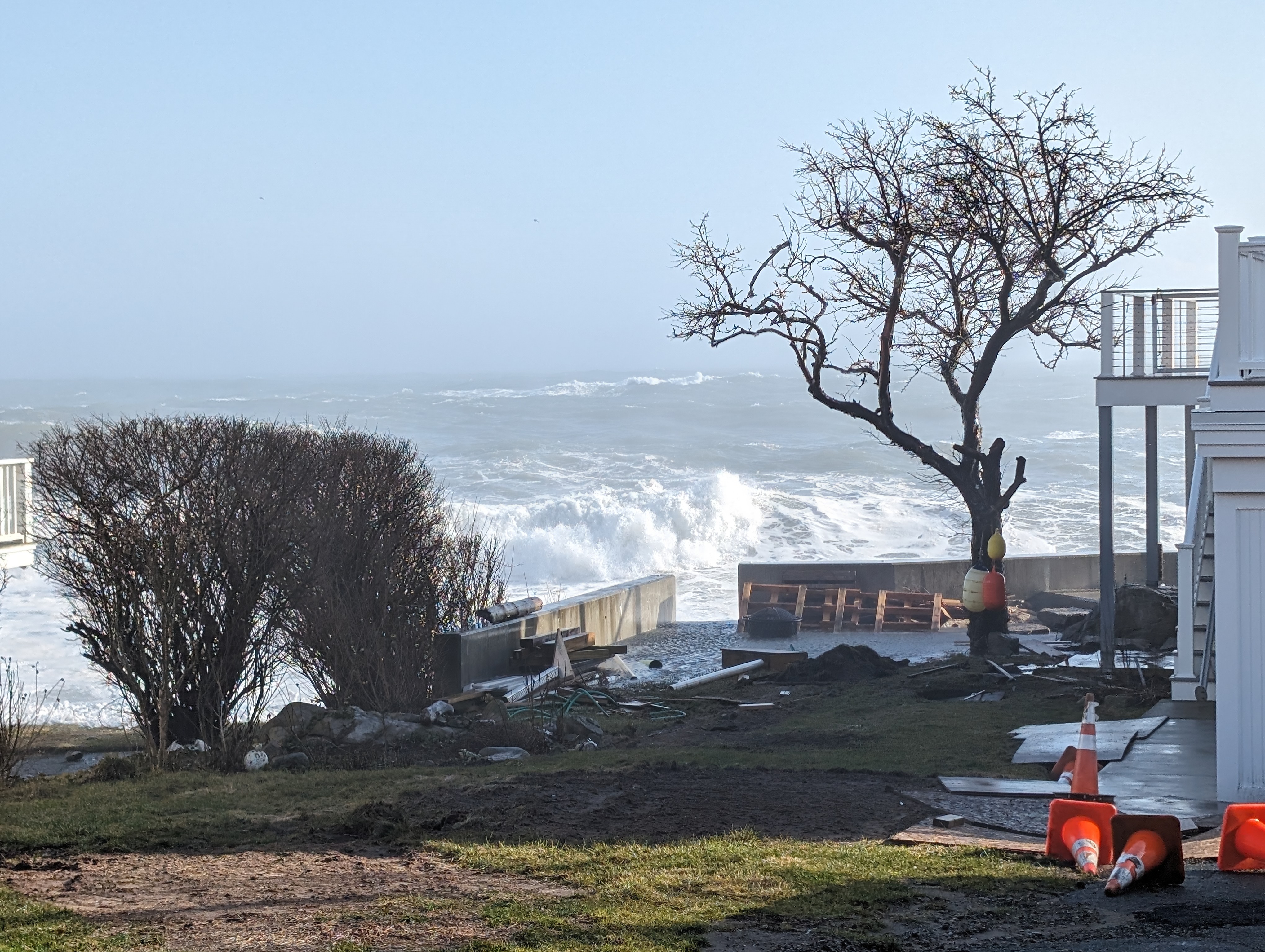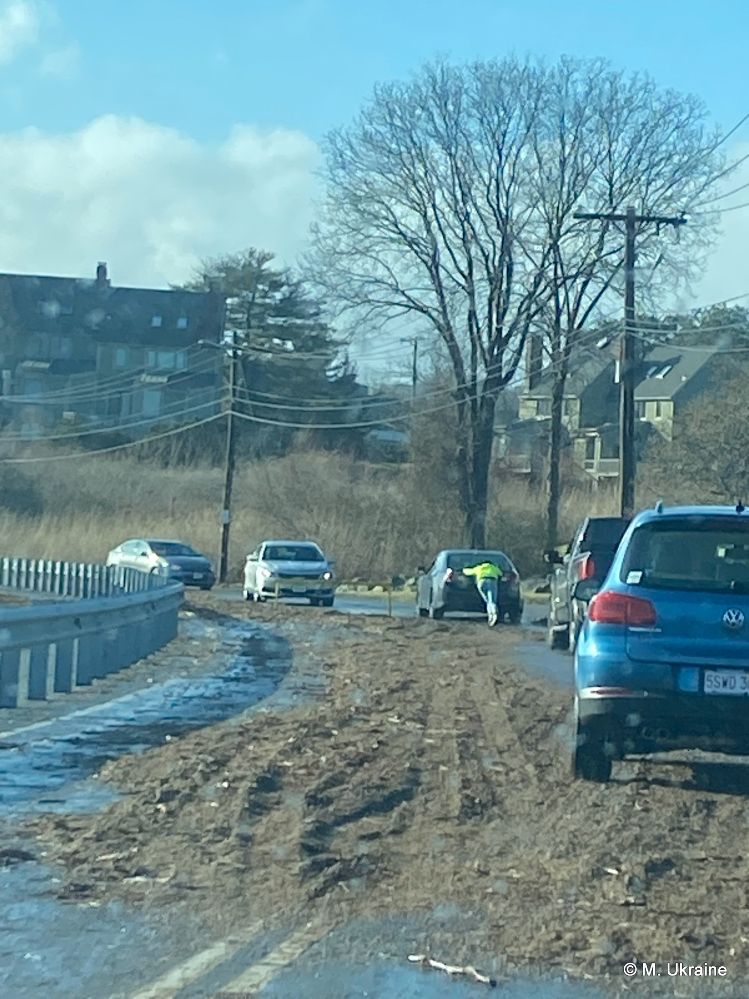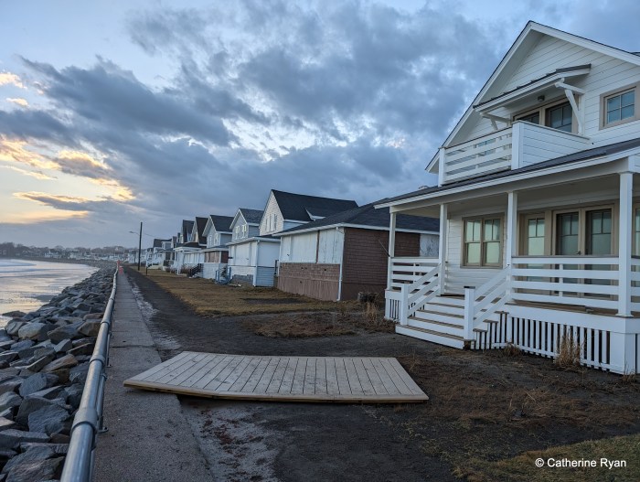
photos Jan. 13, 2024, about 4pm–four hours after high tide–when the ocean receded: some views and condition of the Long Beach seawall, front row cottages, and behind the cottages.
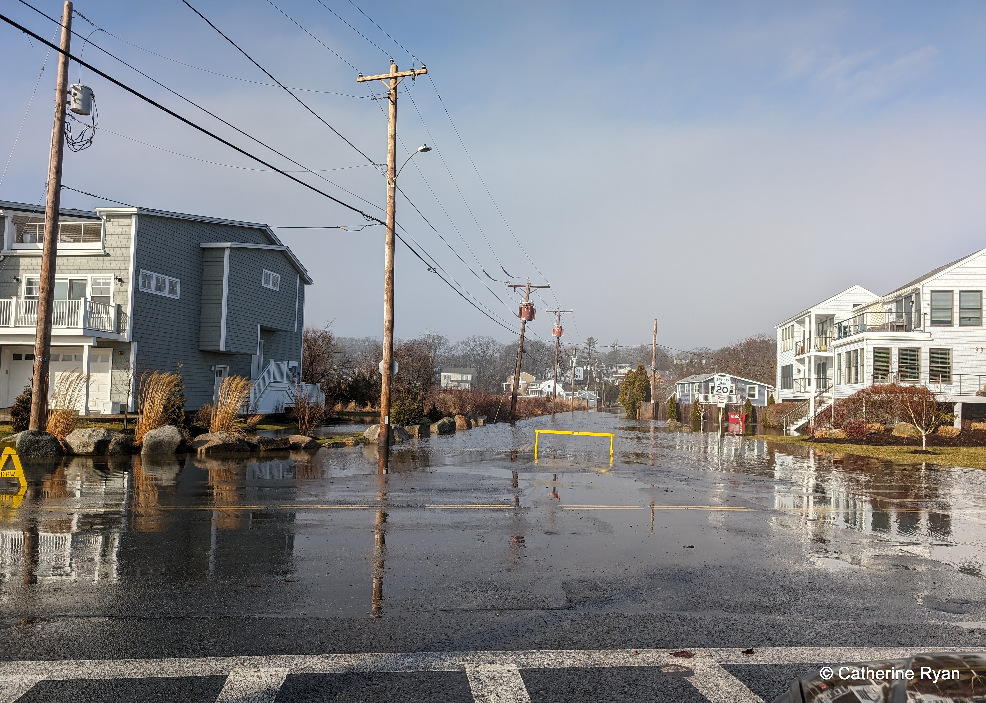
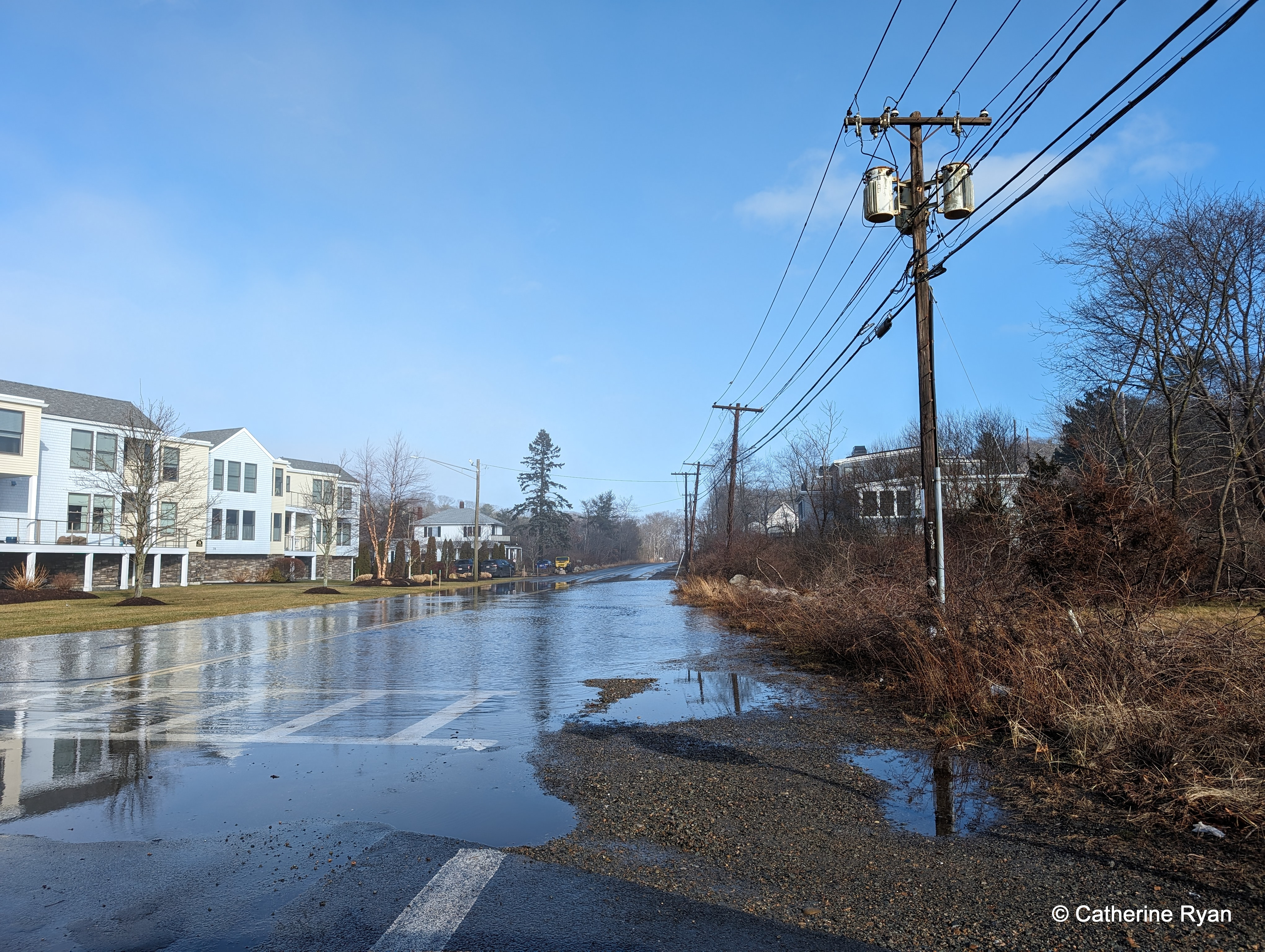
Note: The packed and tamped soft surface atop the seawall walkway was stripped away and a narrow gully was carved along its length. The path is entirely clear and walkable (albeit one front cottage deck which was lifted and traveled some) although a bit uneven and raw. The concrete hard stretch fared better. There was 1 debris chunk and two damaged spots on the concrete section. On the beach, the rip rap is entirely exposed (which happens every winter). The popple berm between Long Beach and Cape Hedge is shorter, but still standing. Four hours after high tide the road out back was more dry than not. Every storm is different.