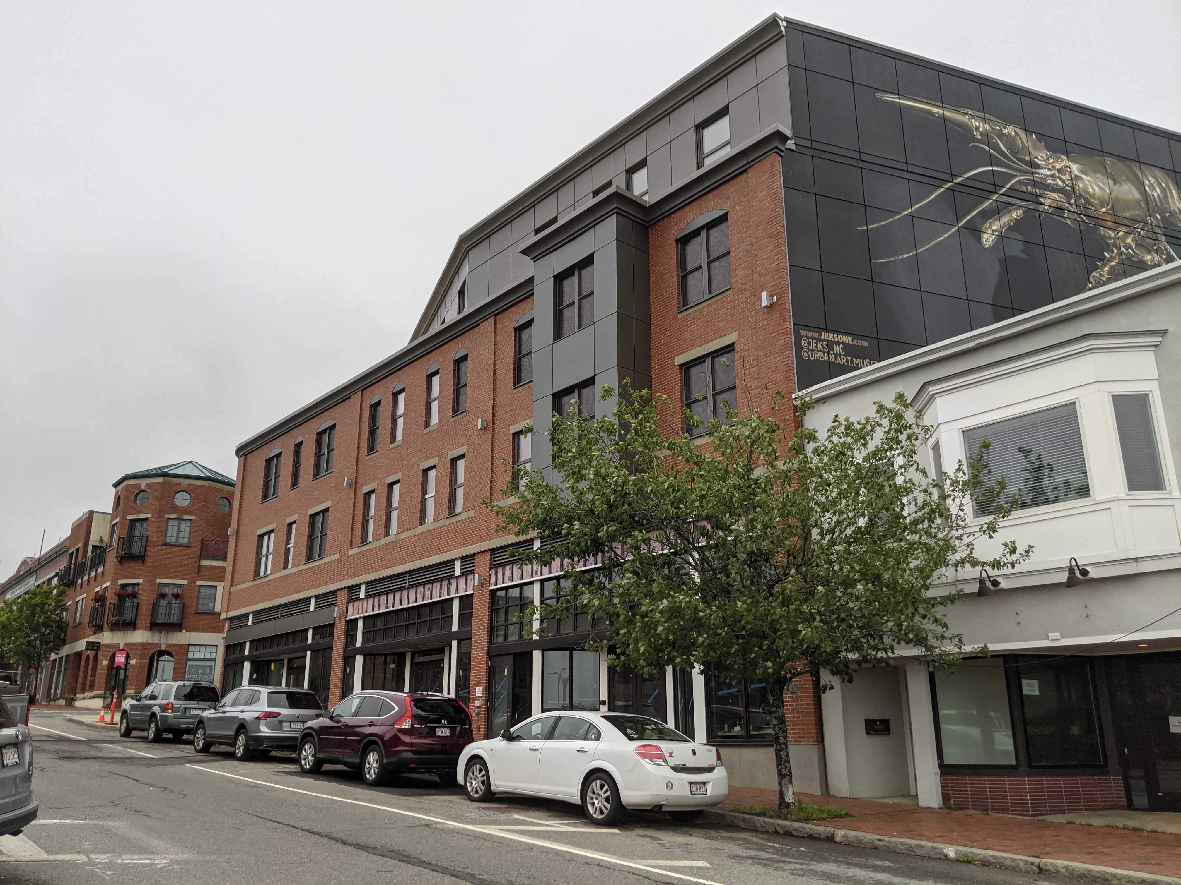
It’s nice to have the sidewalks opened up again along with a better look at the Harbor Village Apartment building and how it fits in on Main.
PS I saw that Stone’s new lounge space was open last night!

My View of Life on the Dock
It’s nice to have the sidewalks opened up again along with a better look at the Harbor Village Apartment building and how it fits in on Main.
PS I saw that Stone’s new lounge space was open last night!


Gloucester Harbor Village, 1856 H. F. Walling/ ©Fredrik D. Bodin
The Gloucester Harbor Village map was a small inset on a larger map, A Topographical Map of Essex County Massachusetts, which measured 62 inches x 62 inches. It was a wall, or scroll map, and was printed on linen and hand colored. The surveys and map were made by civil engineer Henry Francis Walling (1825-1888), Superintendent of State Map. Some of the 49 insets, which were approximately 5 inches x 9 inches, were Annis Squam Village, Lanes Ville, Rockport Village, and Pigeon Cove Village (which I have). Interesting features of the Gloucester Harbor Village map include: Canal Street (the Boulevard) and the long Cordage Mill (rope factory); Fort Defiance at the end of Peach Street (The Fort); Front, Spring, and Jackson Streets running the length of the Gloucester waterfront (no Rogers Street yet); Rocky Neck with it’s first wharf – the Walen Story Wharf; and the end of the railroad line is in Gloucester. Also significant is the now non-existent Vincent’s Cove, and Five Pound Island, which is now the terminus of the State Fish Pier.
Printed archivally from a scan of the original map. Image # AM04-001

Title Section of A Topographical Map of Essex County Massachusetts, 1856 H. F. Walling
~Fred

