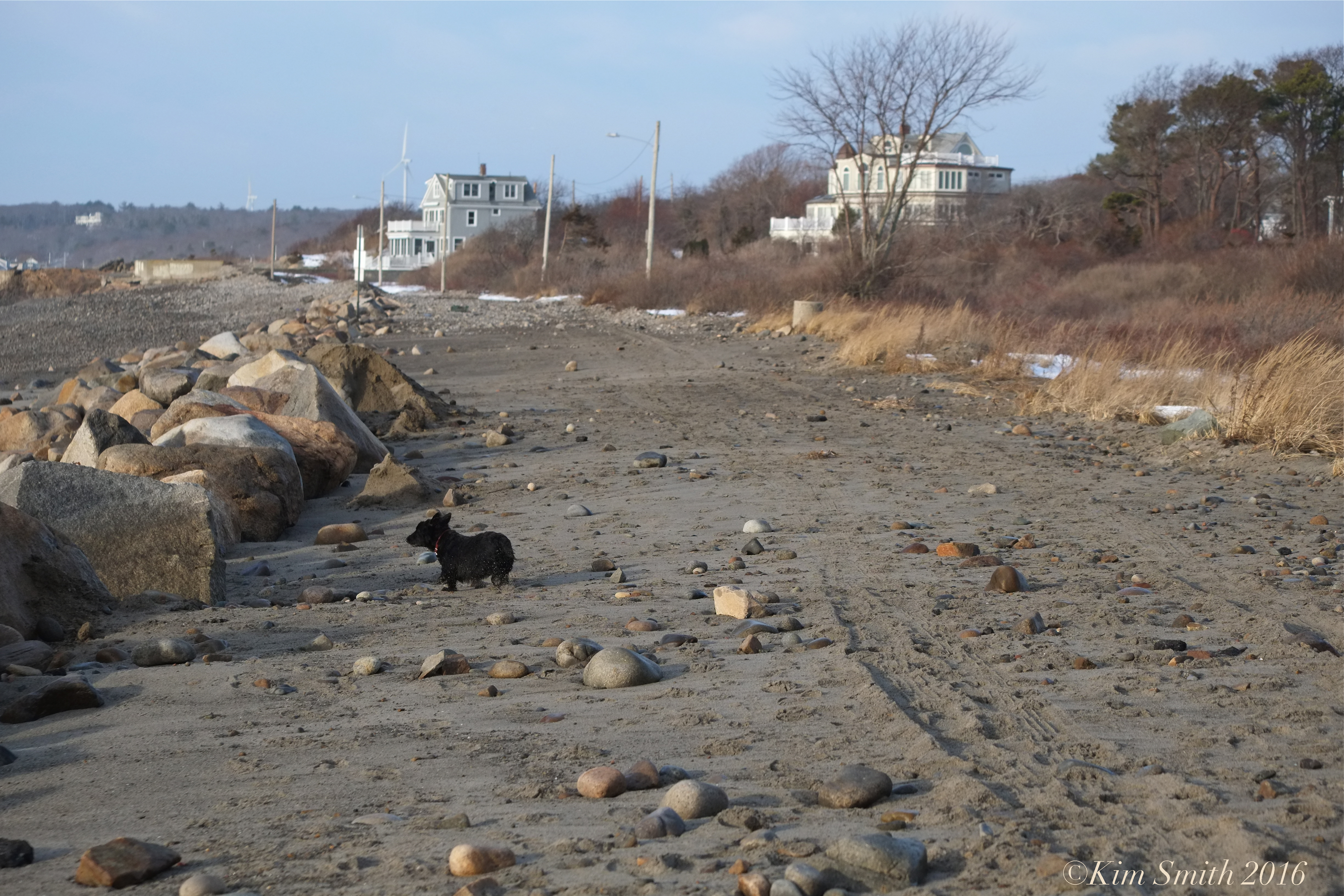
 Penzance Road
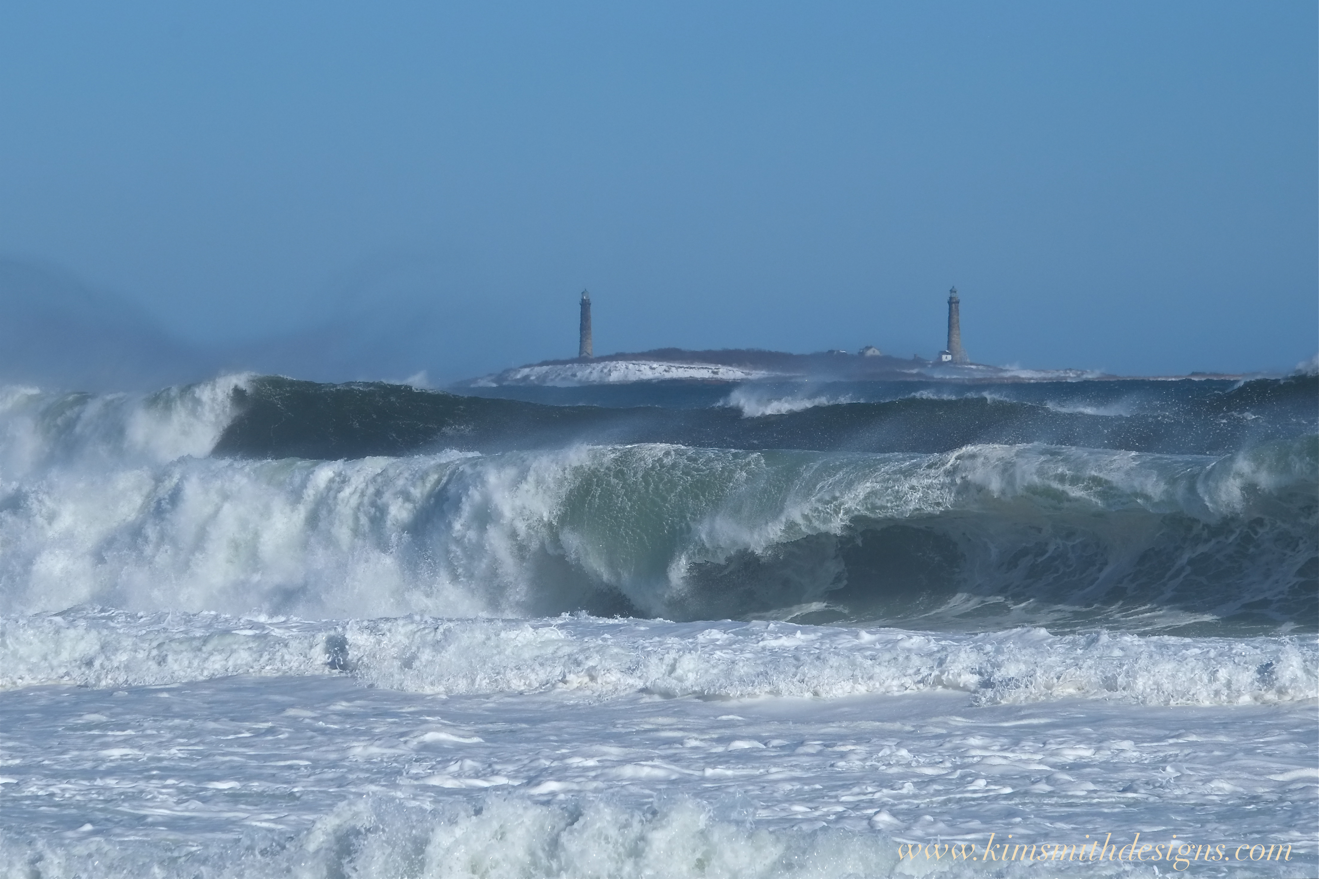
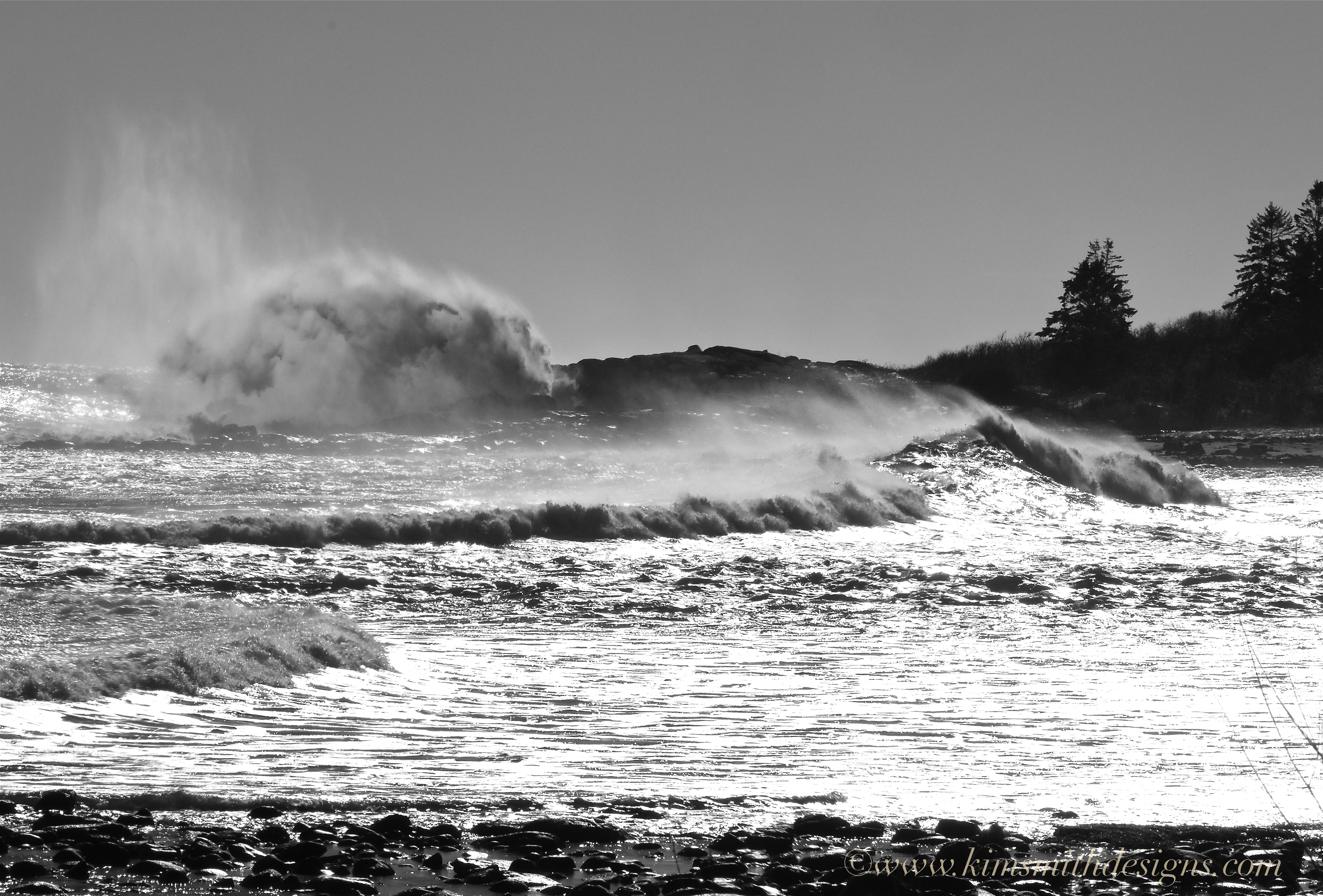
Climate change is complicated but the damage done from rising sea levels is very apparent in our own community. With the inundation of seawater upon freshwater ponds, vernal pools, and wetlands, at risk especially are habitats for fish, shellfish, wildlife, and plants.

Penzance Road, the narrow strip of land that divides Pebble Beach, on the Atlantic side, and freshwater Henry’s Pond on the opposite side, is periodically closed because of storm damage. I don’t recall ever seeing this degree of destruction however, we have lived here for only twenty years. It would be very interesting and much appreciated to learn from any of our readers who have lived through some of the worst blizzards and hurricanes to hit Cape Ann to compare the levels of damage.
 The waves surged clear across the road and into freshwater Henry’s Pond.

https://www.instagram.com/p/BA70ktWDyqM/